Footpath to Freeway: The Evolution of Michigan Road Maps
This exhibit traces how roads have been depicted on Michigan maps from the time it was a territory to the present. In addition to maps, it includes photographs, unique short-lived route guides and artifacts. Maps evolved in step with the road system and showed advances such as named roads which were in time replaced with numbered state and federal routes. Publishers include map giants Rand McNally and Gousha who also supplied oil companies with their ubiquitous freely distributed roadmaps.
Part 4: Named Roads
Click on thumbnail image to view larger image.
- Advertisement, from Official Automobile Blue Book, vol. 4
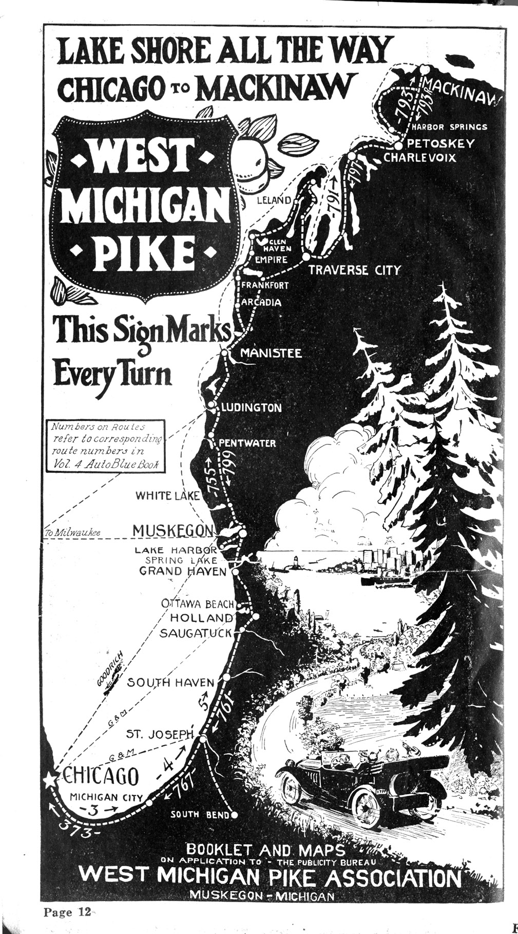
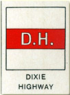
- Highway associations and companies, often in conjunction with the "Good Roads" movement, began to fill the highway posting void by naming and marking the previously nameless roads. Starting in 1912, highway associations, consortiums of local and national business, issued promotional maps and began to mark named roads such as the Lincoln Highway ( New York – San Francisco), the Dixie Highway (Miami – Sault Ste. Marie), and the West Michigan Pike (Chicago – Mackinaw City). During this period, there were at least 26 such named trails in Michigan.

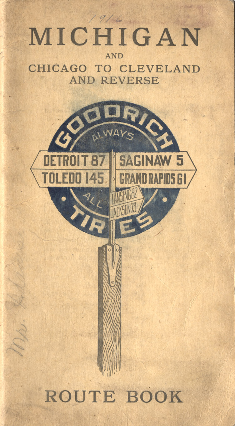
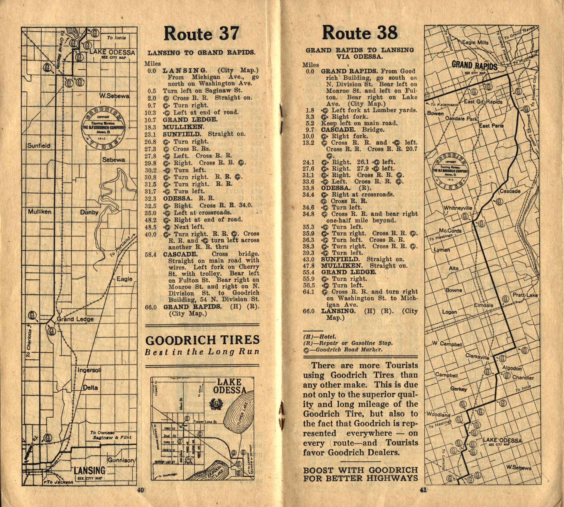
- Michigan and Chicago to Cleveland and Reverse
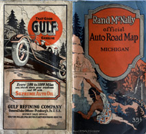
- Private companies also began to map and mark roads. In 1914, BF Goodrich started such a program and claimed that it established 85,000 guidepost logos, such as the one depicted on this 1916 Goodrich road map.
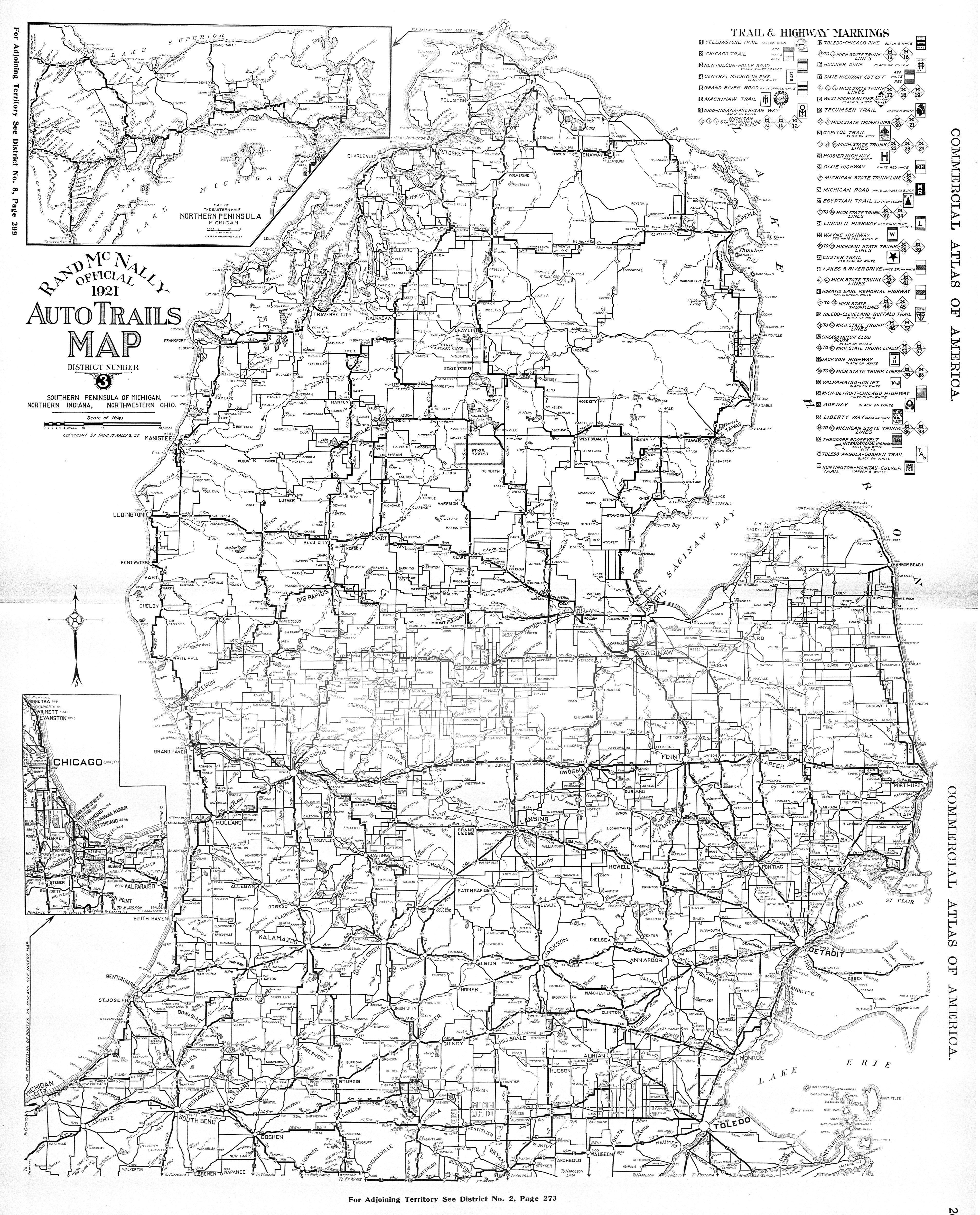
- Rand McNally official 1921 auto trails map, district number 3: Southern Peninsula of Michigan, northern Indiana, northwestern Ohio
- The most ambitious national mapping and marking program was launched by Rand McNally in 1917. Major routes were given numbers as well as names, and routes were marked by number signs nailed or stenciled onto roadside poles. The "auto [or blazed] trail" maps by Rand McNally, such as the Michigan map depicted here, were issued in a limited number of regions (eight in 1918), but gradually expanded to cover the entire country by 1924.