Scanned Maps
Most map content is available at the MSU Libraries Digital Repository Below is a smaller selection of scanned maps not available in the Digital Repository.
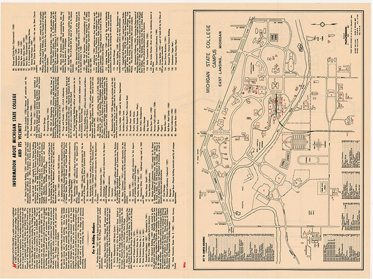
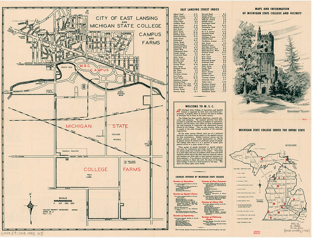
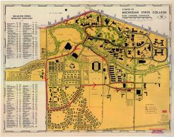
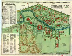
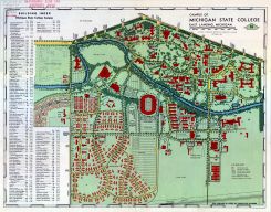
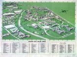
Scanned Maps of Michigan State College

Michigan / United States / North America
| Image | Title |
|---|---|
|
|
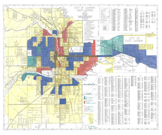
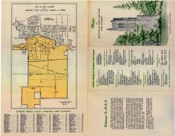
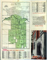
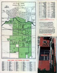
City of Lansing, East Lansing and Vicinity. Home Owners' Loan Corporation (HOLC), 1930's |
|
|
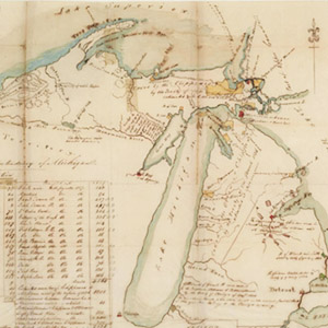
A Map of the Acting Superintendency of Michigan. Drawn by Henry R. Schoolcraft in 1837 |