
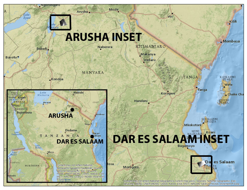
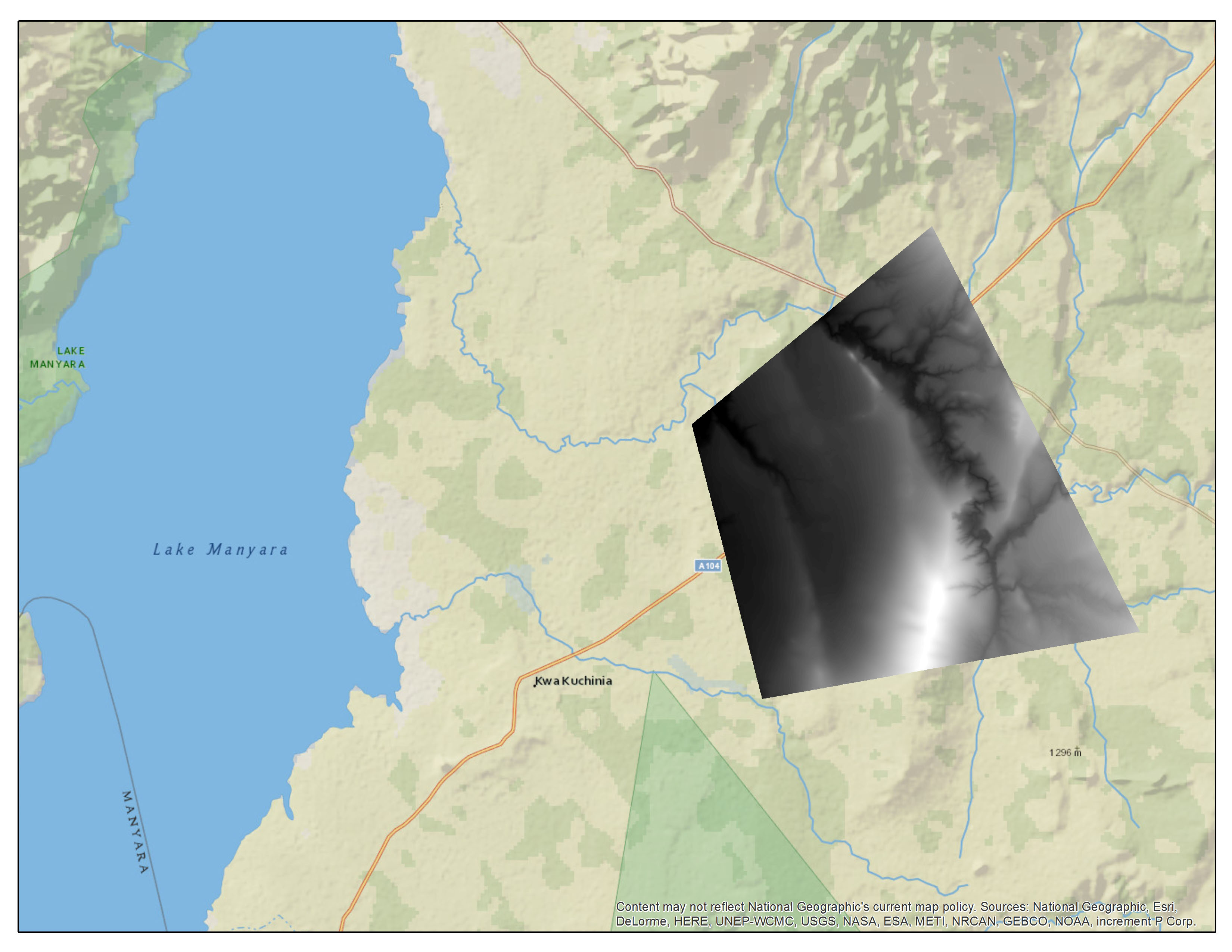
Title: Tanzania Digital Elevation Model
Publisher: Airbus Defence and Space
Scale: 12-meter pixels
Format: Available for download in GeoTIF
Bounding Coordinate West:
Bounding Coordinate East:
Bounding Coordinate North:
Bounding Coordinate South:
Notes: 12-meter per pixel image derived from the TerraSAR-X and TanDEM-X SAR satellites WorldDEM. For more information: http://www.intelligence-airbusds.com/files/pmedia/public/r5434_9_int_022_worlddem_en_low.pdf
Access Restriction: This resource has been licensed for use by the MSU community. For off-campus access, users must have a MSU NetID and password. Our contract with the vendor restricts off-campus access to currently enrolled MSU students and current employees. MSU Alumni are not included in these groups. Visitors to the main library may also access this resource at one of our Selected Resources computers. If your NetID and password are not working to get you into this site, please see this Guide to Off-Campus Access.
| Name | ZIP |
|---|---|
| Digital Surface Model | Digital Surface Model.zip |
| Digital Terrain Model | Digital Terrain Model.zip |