
Brazil 1:250,000
Title: Carta do Brazil 1:250,000
Originator: Brazil. Serviço Geográfico do Exército
Publication Place: Rio de Janeiro
Publisher: Serviço Geográfico do Exército,
Beginning Date: 1948
Extent: 607 sheets
Color: Some sheets in color
Scale: 1:250,000
Projection: Transverse Mercator
Format: Available for download in TIF and GeoTIF
Bounding Coordinate West: -76.5
Bounding Coordinate East: 34.5
Bounding Coordinate North: 6
Bounding Coordinate South: -34
Notes: Some sheets are color topographic maps, some sheets are based on color satellite imagery, some sheets are based on color RADAR, some sheets are based on black-and-white RADAR. Contour intervals vary. Cultural features vary. The paper maps were scanned at 400 ppi, 8-bit (256 color). The scans were then geo-referenced using a 1st order or 2nd order polynomial transformations in Blue Marble Geographics Transformer.
Access Restriction: This resource has been licensed for use by the MSU community. For off-campus access, users must have a MSU NetID and password. Our contract with the vendor restricts off-campus access to currently enrolled MSU students and current employees. MSU Alumni are not included in these groups. Visitors to the main library may also access this resource at one of our Selected Resources computers. If your NetID and password are not working to get you into this site, please see this Guide to Off-Campus Access.
Brazil 1:250,000
| Filename | Map Location | Name | Note | Map Type | Thumbnail | TIFF | GeoTIF | |
|---|---|---|---|---|---|---|---|---|
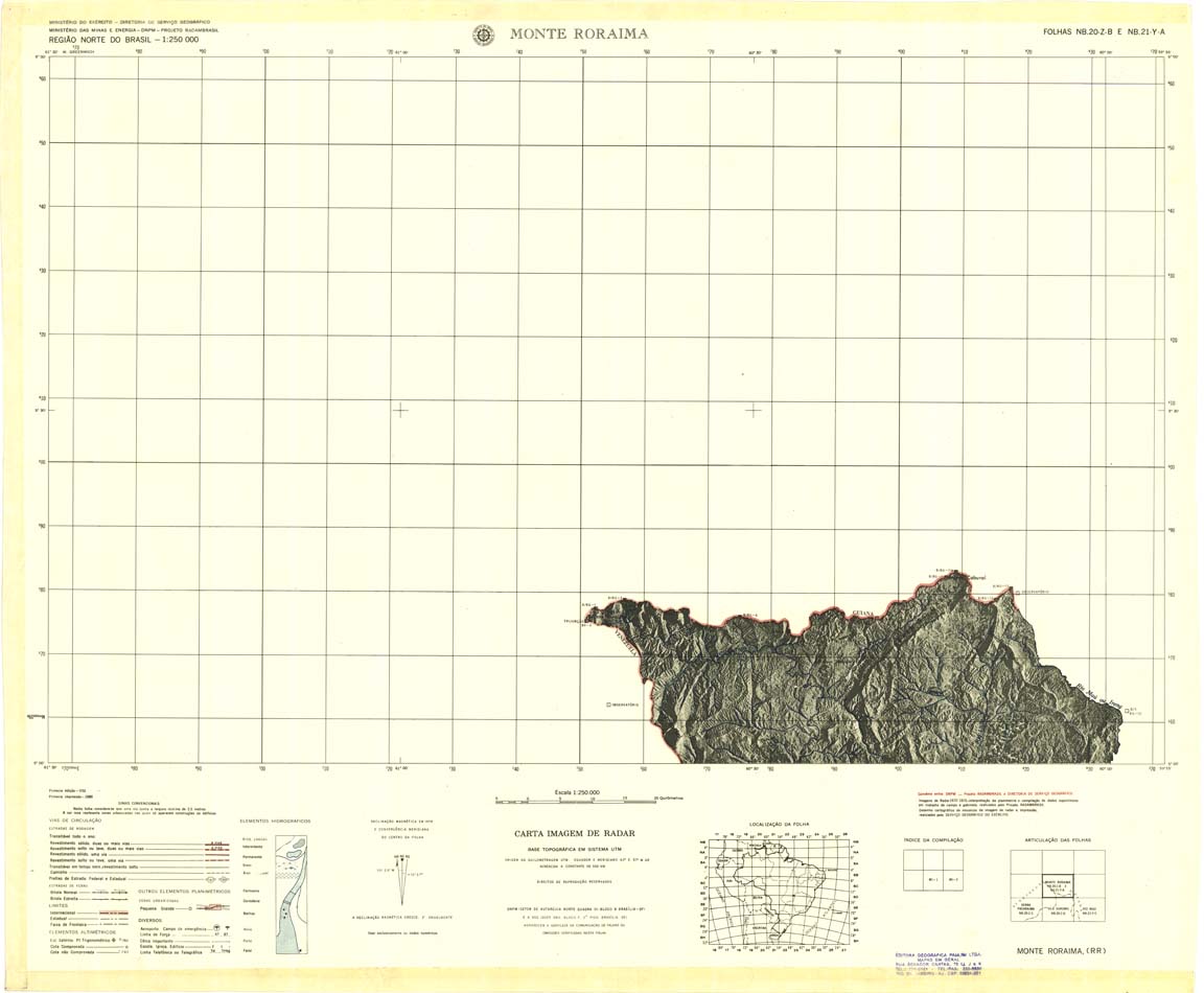
| 001 | NB-20-Z-B | MONTE RORAIMA | Radar | jpg | tif | zip | ||
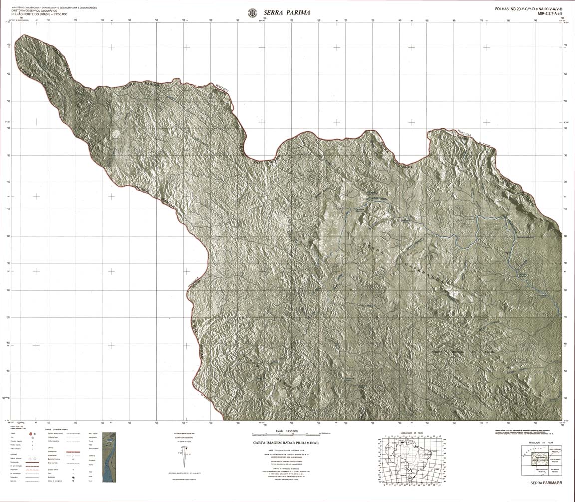
| 002 | NB-20-Y-C | SERRA | Top / Radar | jpg | tif | zip | ||
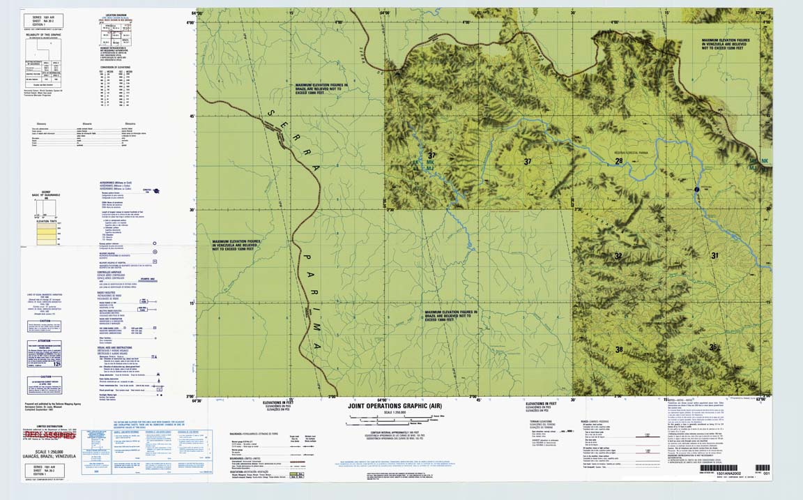
| 002-03-07A-08 | NB-20-Y-C | SERRA PARIMA | jpg | tif | zip | |||
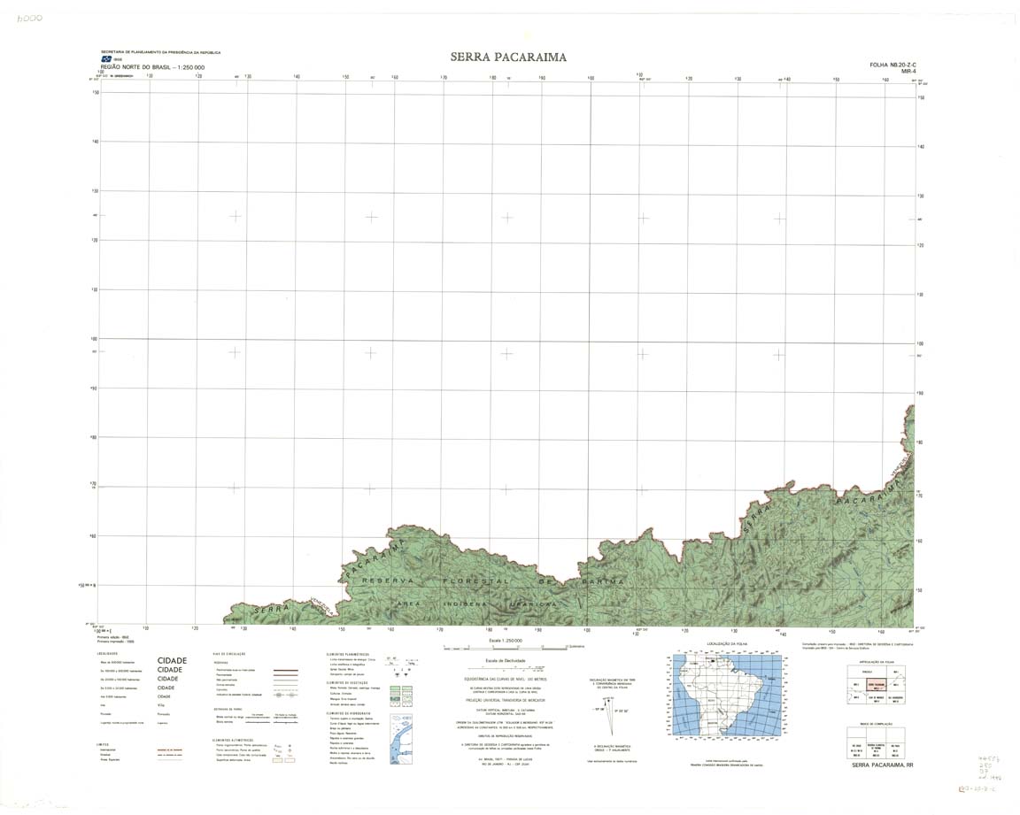
| 004 | NB-20-Z-C | SERRA PACARAIMA | IBGE | Top | jpg | tif | zip | |
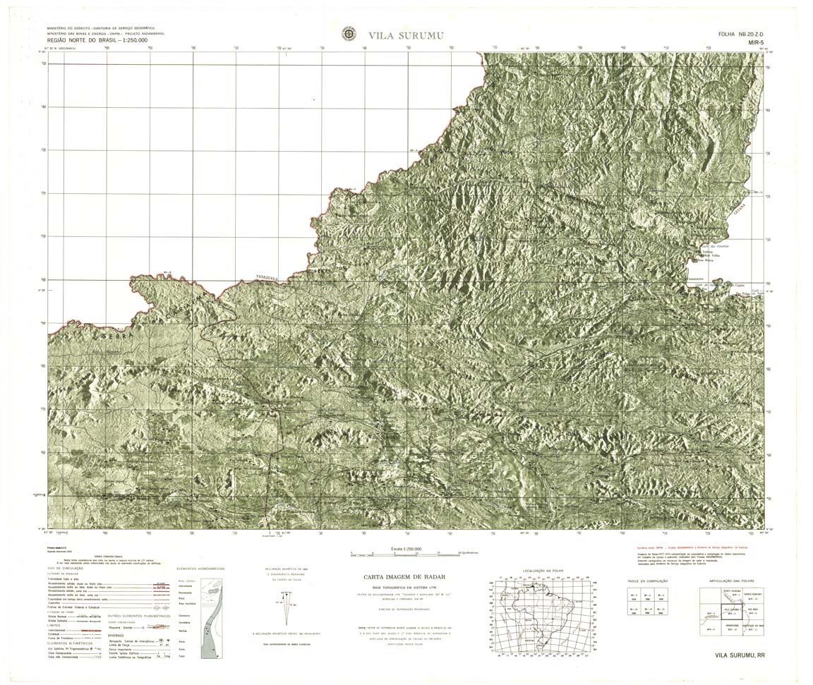
| 005 | NB-20-Z-D | VILA SURUMU | Radar | jpg | tif | zip | ||
| 006 | NB-21-Y-C | RIO MAU | Radar | jpg | tif | zip | ||
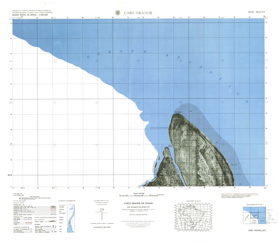
| 007 | NB-20-Z-C | CABO ORANGE | IBGE | Top / Radar | jpg | tif | zip | |
| 009 | NA-20-X-A | ILHA DE MARACA | IBGE | Top / Radar | jpg | tif | zip | |
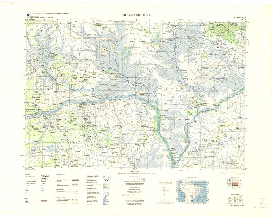
| 010 | NA-20-X-B | RIO URARICOERA | IBGE | Top / Radar | jpg | tif | zip | |
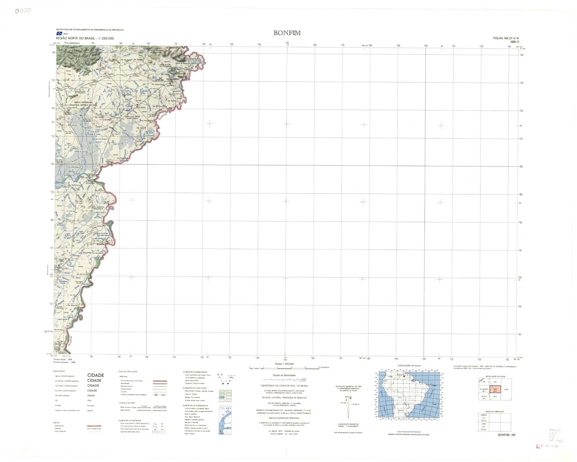
| 011 | NA-21-V-A | BONFIM | IBGE | Top / Radar | jpg | tif | zip | |
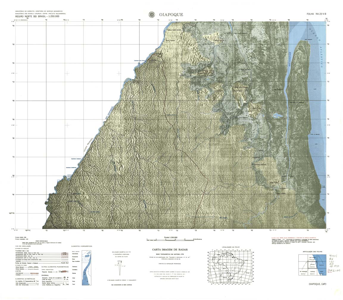
| 012 | NA-22-V-B | OIAPOQUE | jpg | tif | zip | |||
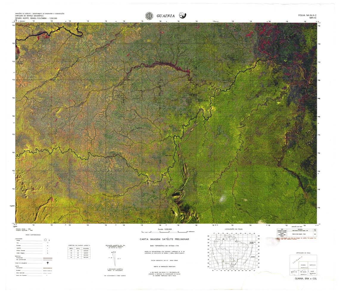
| 013 | NA-19-X-C | GUAIANIA | DSG | Top / Radar | jpg | tif | zip | |
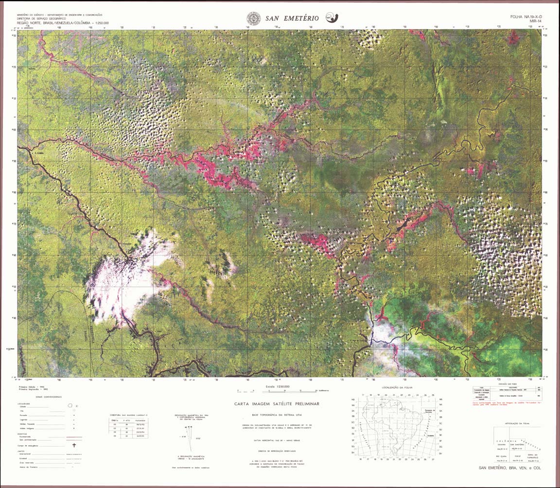
| 014 | NA-19-X-D | SAN EMETERIO | jpg | tif | zip | |||
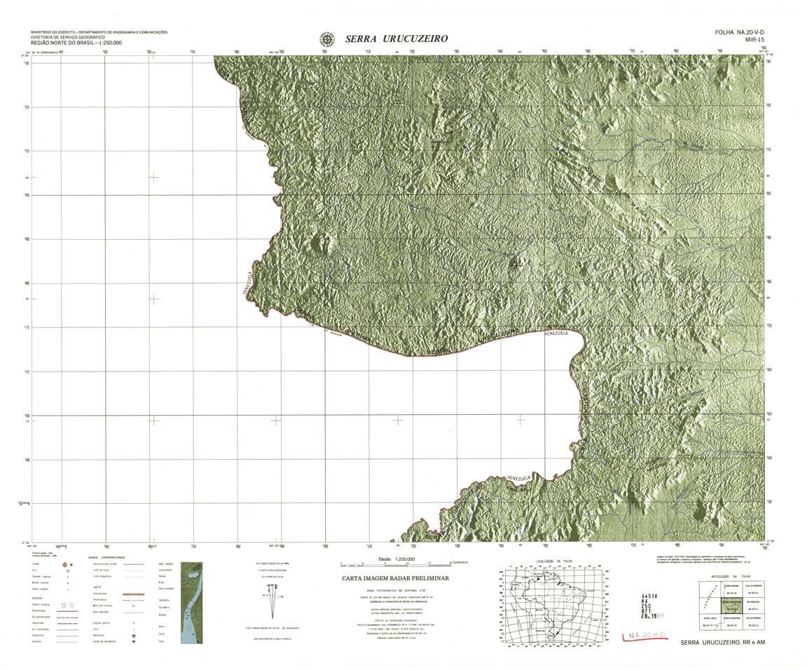
| 015 | NA-20-V-D | SERRA URUCUZEIRO | DSG | Top / Radar | jpg | tif | zip | |
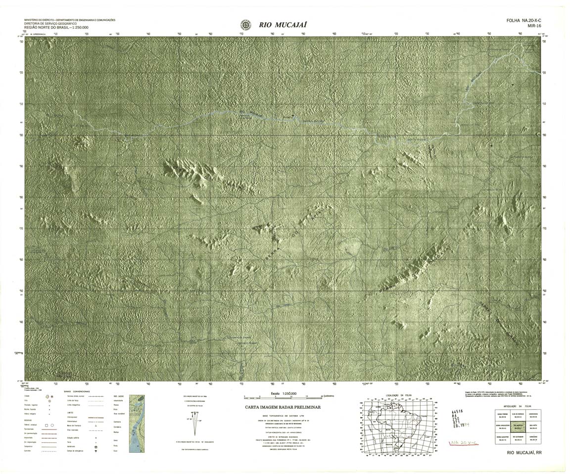
| 016 | NA-20-X-C | RIO MUCAJAI | jpg | tif | zip | |||
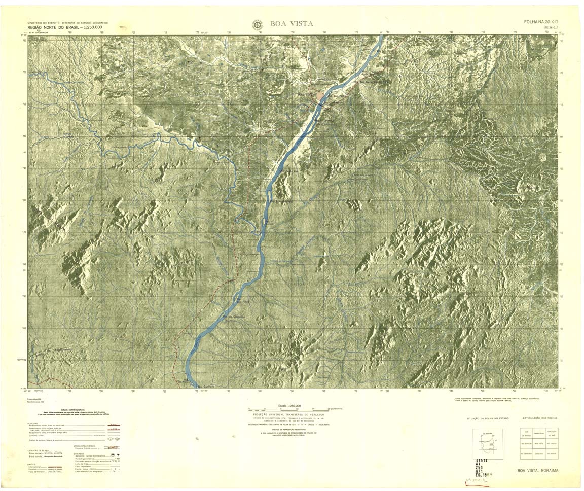
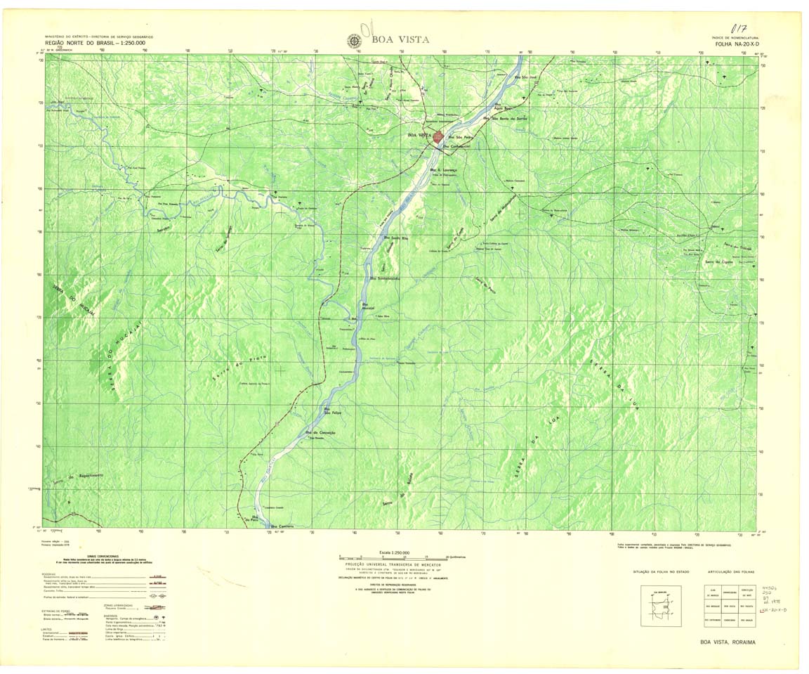
| 017 | NA-20-X-D | BOA VISTA | DSG | Top / Radar | jpg | tif | ||
| 017A | NA-20-X-D | BOA VISTA | jpg | tif | zip | |||
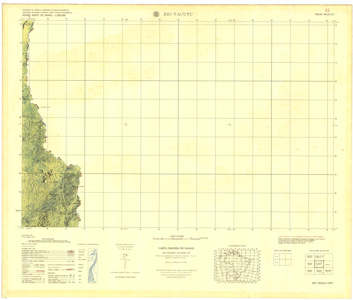
| 018 | NA-21-V-C | RIO TACUTU | DSG | Top / Radar | jpg | tif | zip | |
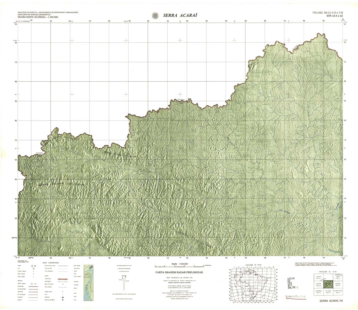
| 018_032(032) | NA-54-V-D/Y-B | SERRA ACARAI | jpg | tif | zip | |||
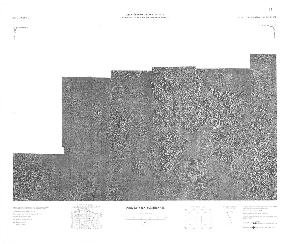
| 019 | NA-21-X-C | PROJETO RADAMBRASIL | jpg | tif | zip | |||
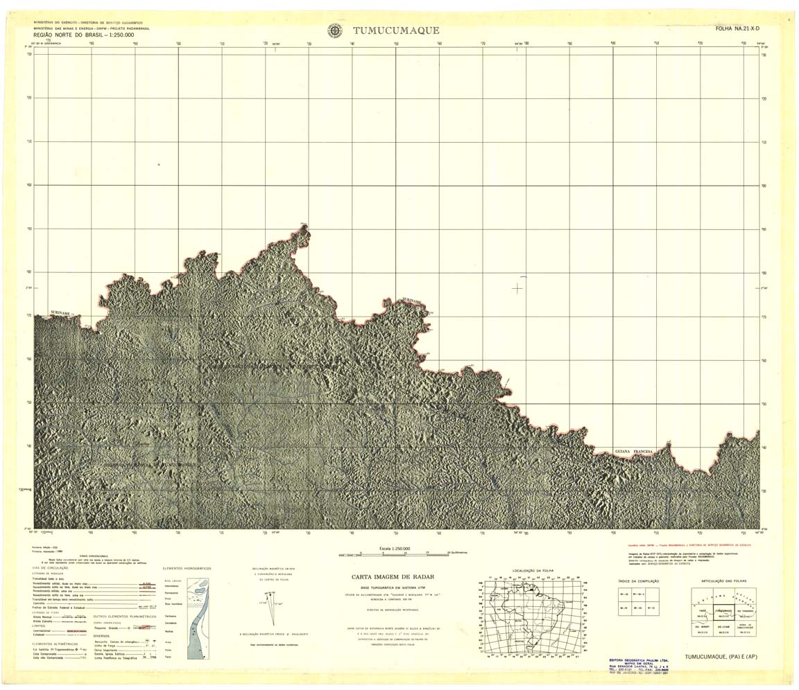
| 020 | NA-21-X-D | TUMUCUMAQUE | jpg | tif | zip | |||
| 021 | NA-22-V-C | RIO TANGARARE | jpg | tif | zip | |||
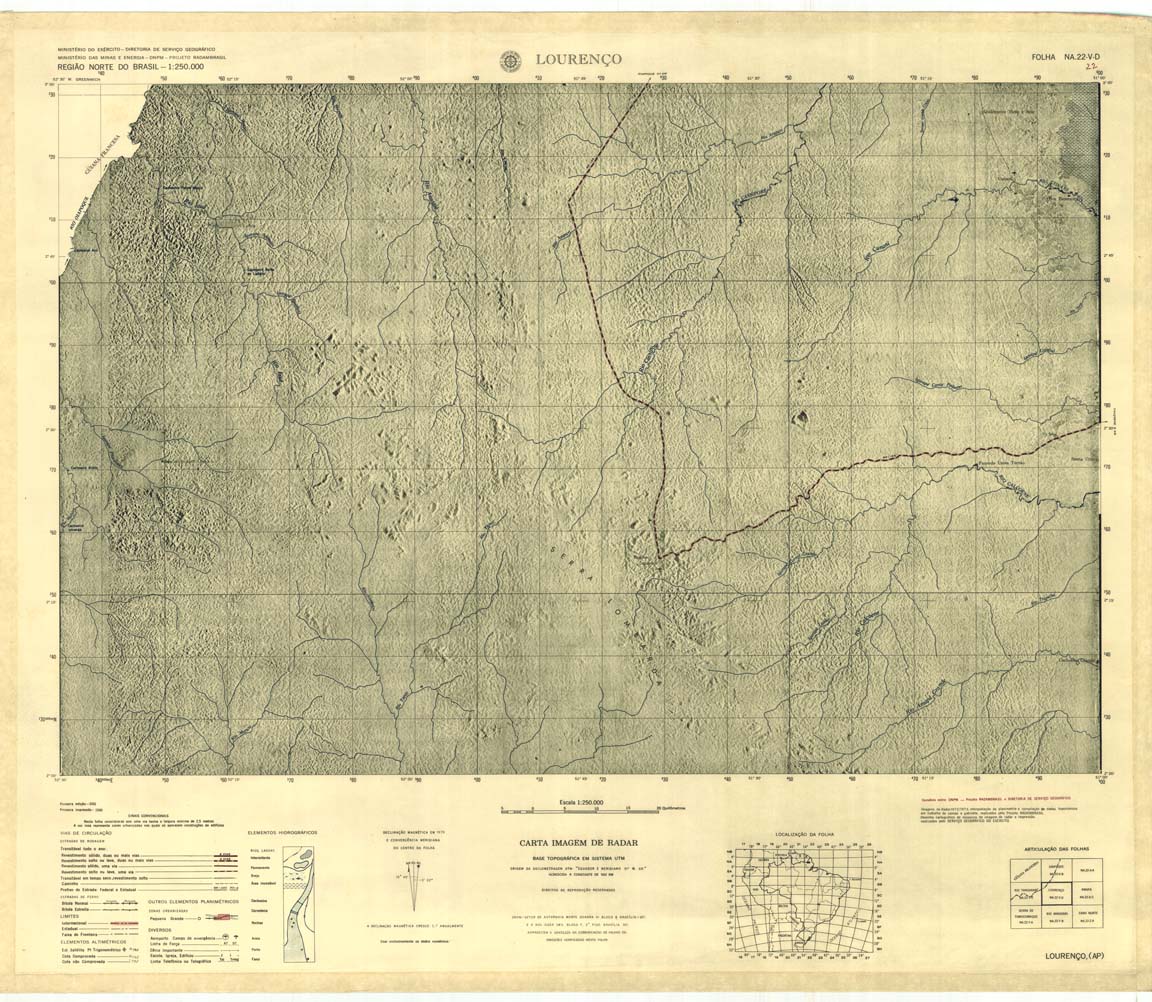
| 022 | NA-22-V-D | LOURENÇO | Radar | jpg | tif | zip | ||
| 023 | NA-22-X-C | PROJETO RADAMBRASIL | jpg | tif | zip | |||
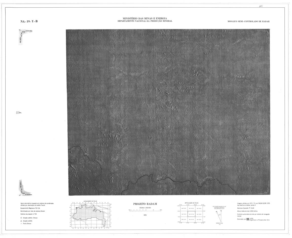
| 024 | NA-19-Y-B | PROJETO RADAM | jpg | tif | zip | |||
| 025 | NA-19-Z-A | RIO ICANA | jpg | tif | zip | |||
| 026 | NA-19-Z-B | CUCUI | Radar | jpg | tif | zip | ||
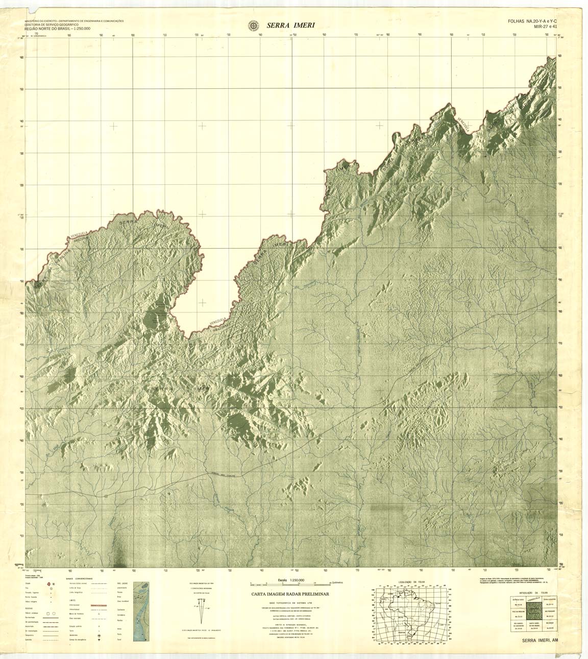
| 027_041 | NA-20-Y-A | SERRA IMERI | jpg | tif | zip | |||
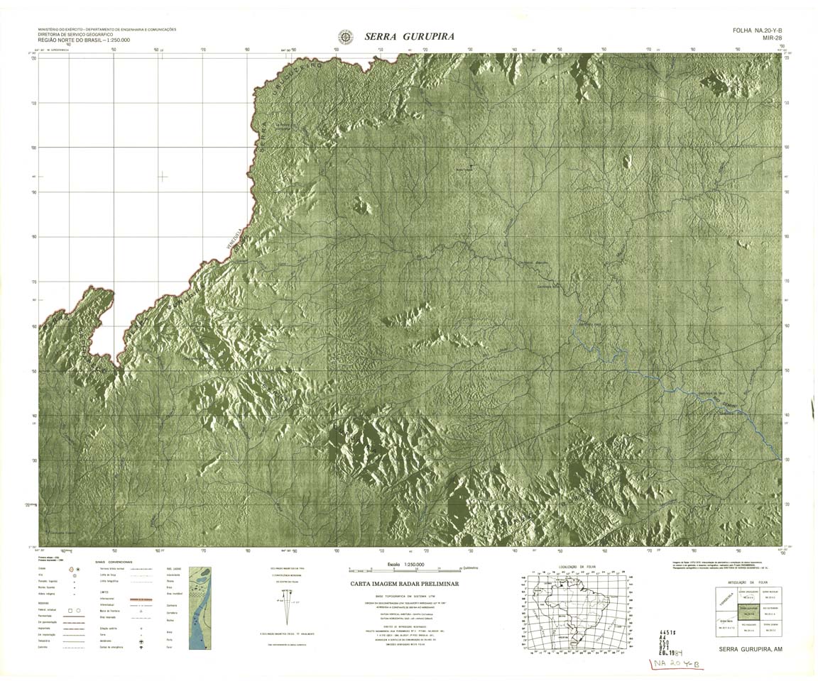
| 028-rcol | NA-20-Y-B | SERRA DO GURUPIRA | Radar | jpg | tif | zip | ||
| 028-rbw | NA-20-Y-B | SERRA DO GURUPIRA | jpg | tif | ||||
| 029 | NA-20-Z-A | RIO CATRIMANI | Radar | jpg | tif | zip | ||
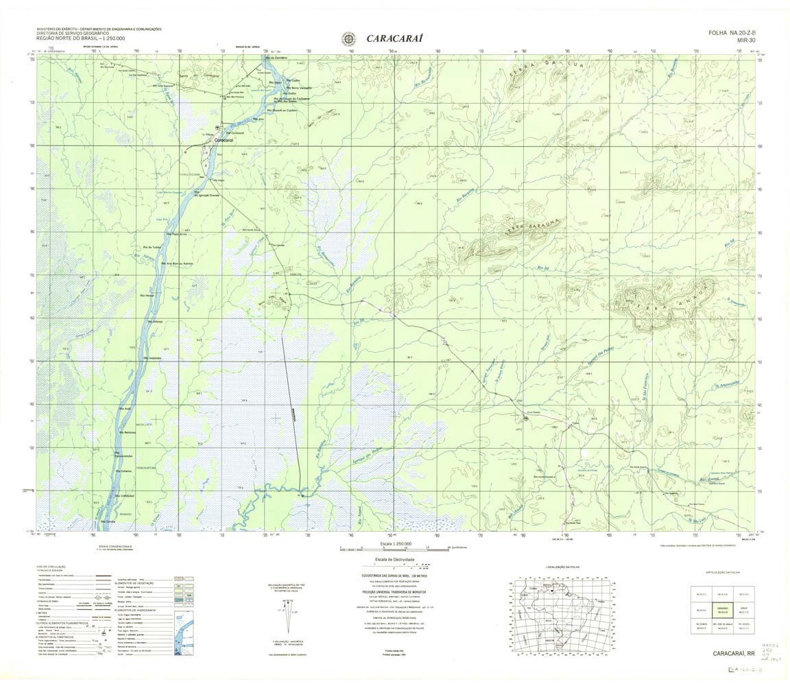
| 030 | NA-20-Z-B | CARACARAI | DSG | Top / Radar | jpg | tif | zip | |
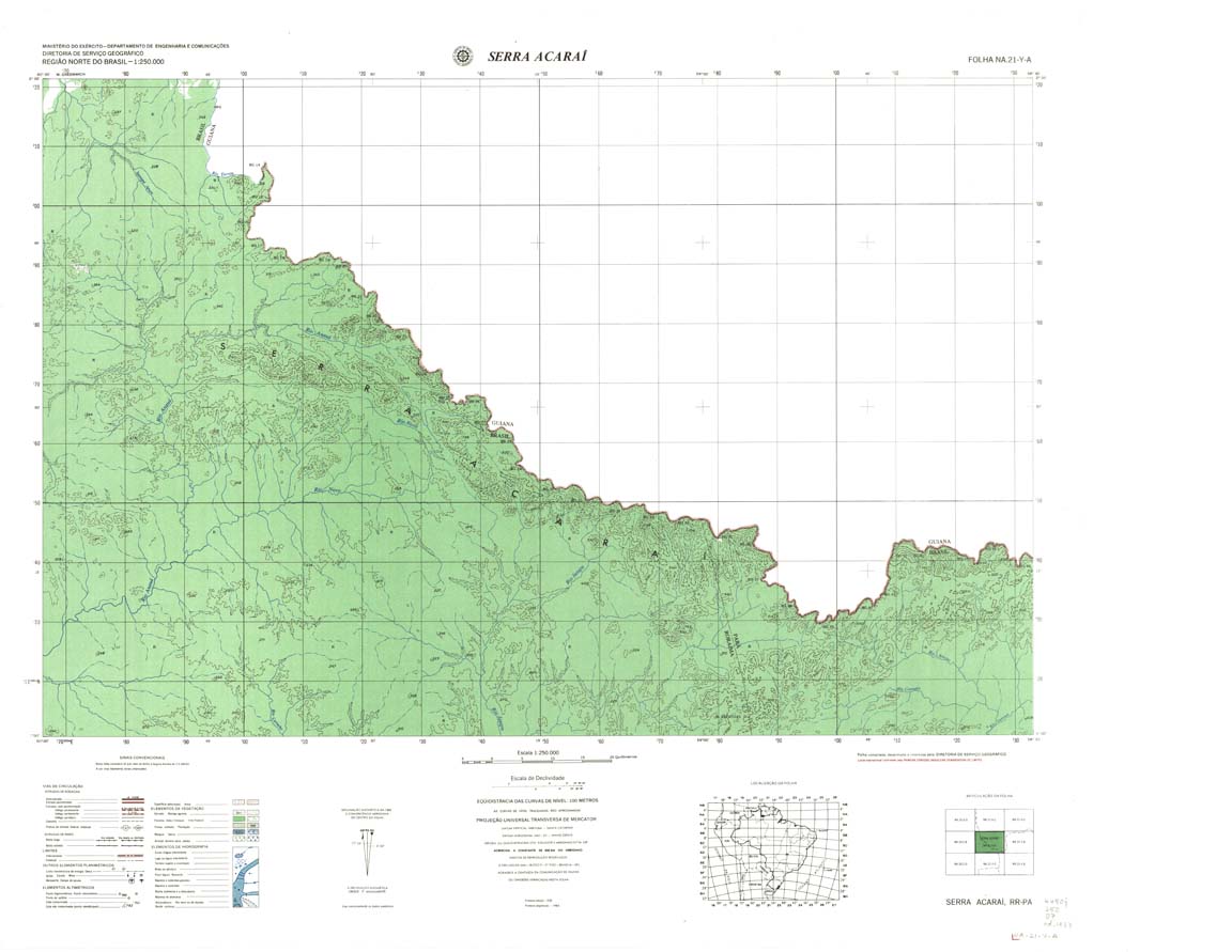
| 031 | NA-21-Y-A | SERRA ACARAI | DSG | Top / Radar | jpg | tif | zip | |
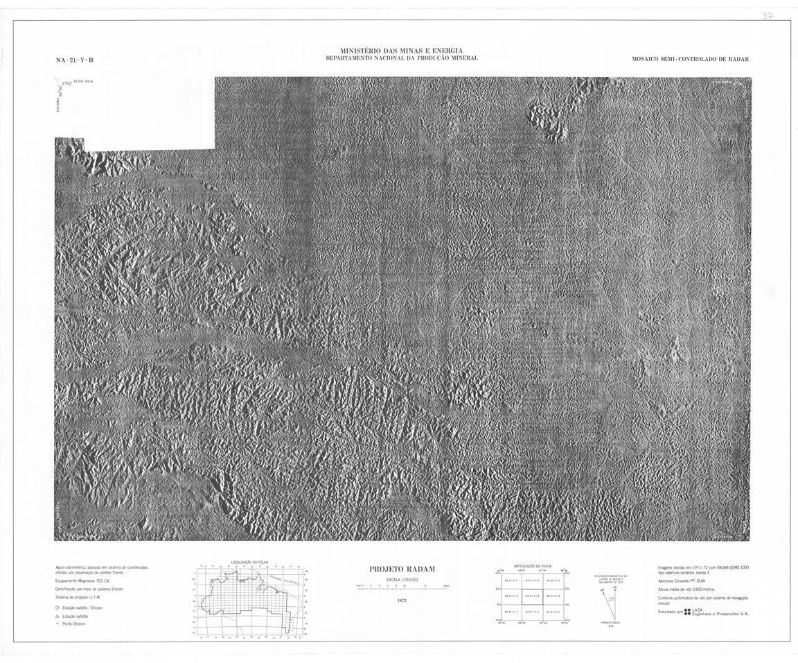
| 032 | NA-21-Y-B | PROJETO RADAM | jpg | tif | ||||
| 033 | NA-21-Z-A | RIO MARAPI | Radar | jpg | tif | zip | ||
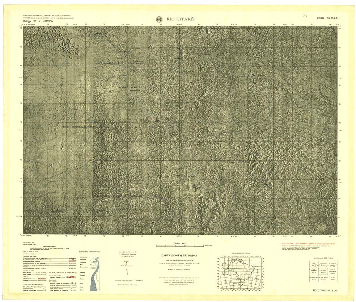
| 034 | NA-21-2-B | RIO CITARE | Radar | jpg | tif | zip | ||
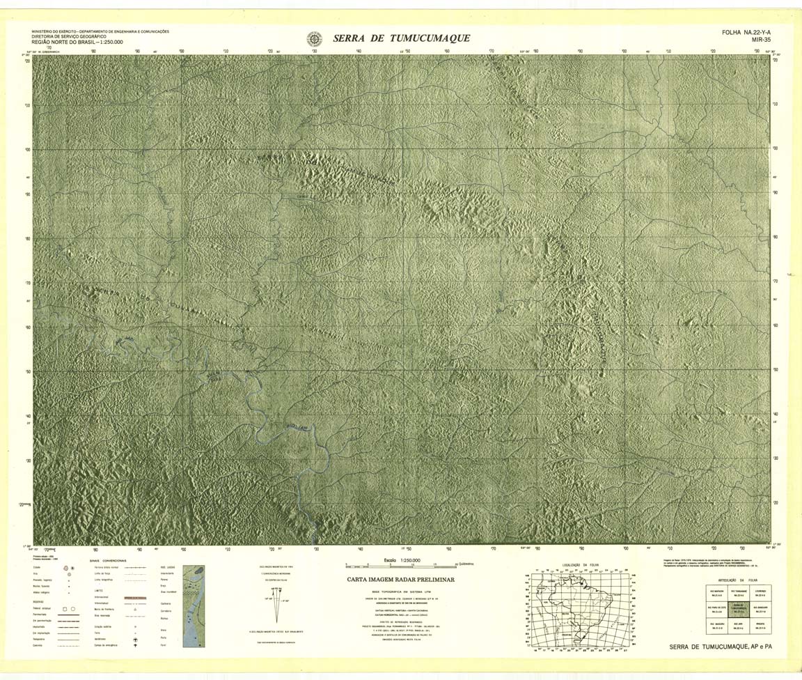
| 035 | NA-22-Y-A | SERRA DE TUMUCUMAQUE | Radar | jpg | tif | zip | ||
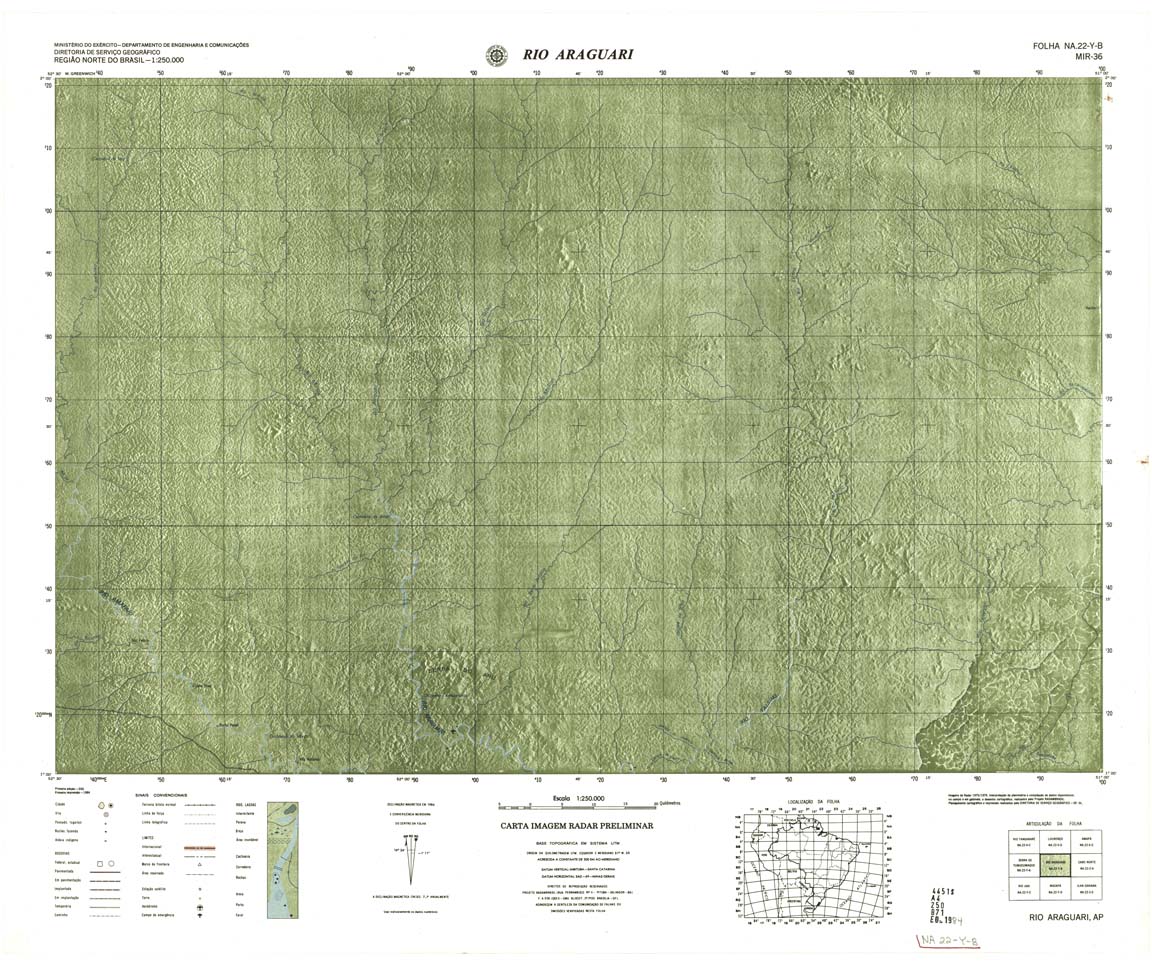
| 036 | NA-22-Y-B | RIO ARAGUARI | Radar | jpg | tif | zip | ||
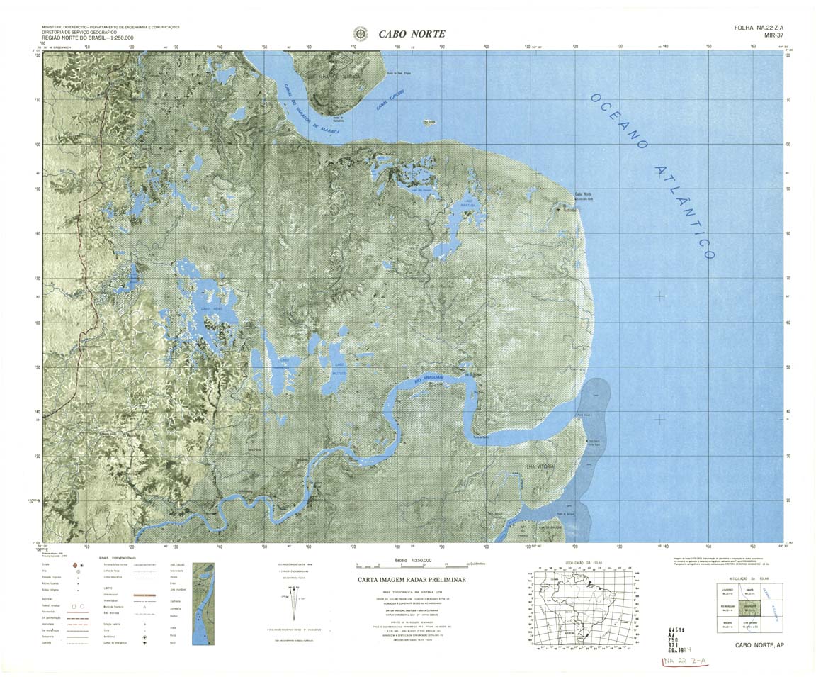
| 037 | NA-22-Z-A | CABO NORTE | 1984 | Radar | jpg | tif | zip | |
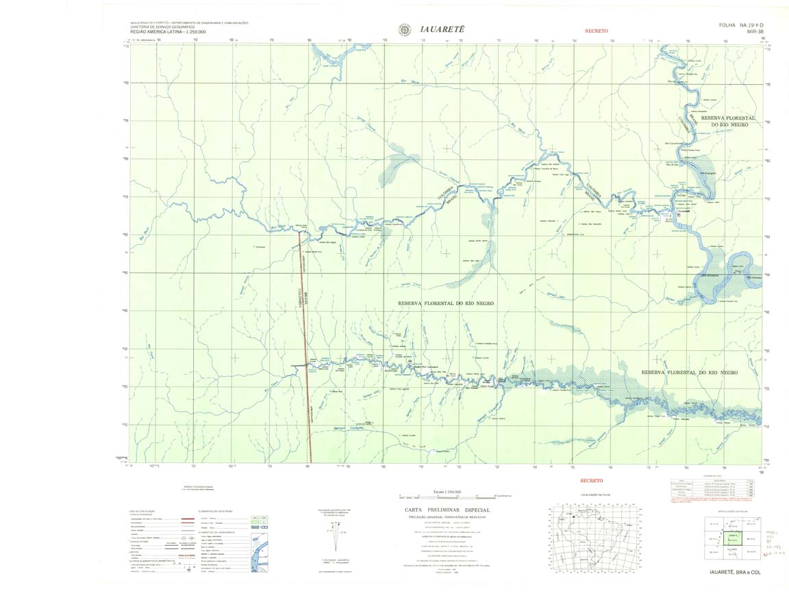
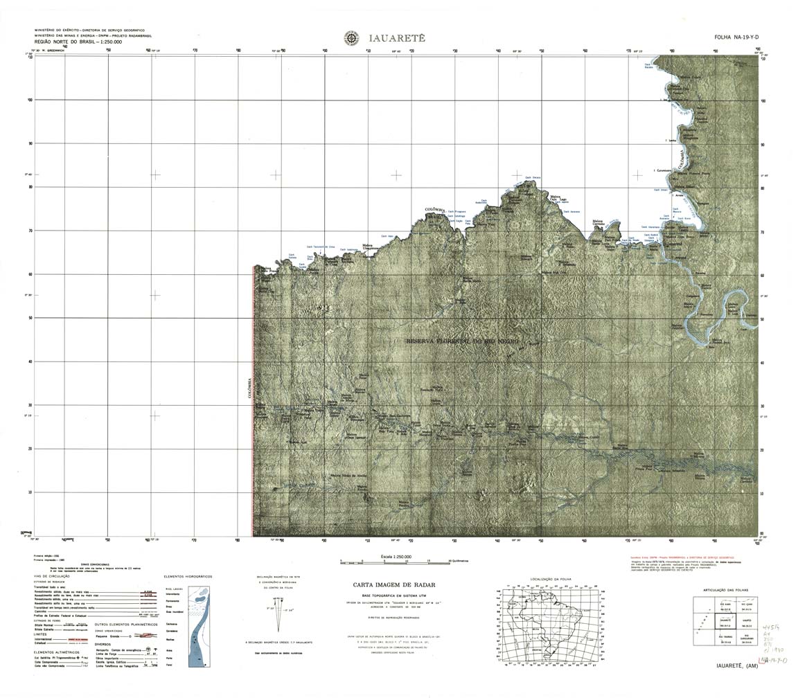
| 038 | NA-19-Y-D | IAUARETE | Radar | jpg | tif | zip | ||
| 038a | NA-19-Y-D | IAUARETE | jpg | tif | ||||
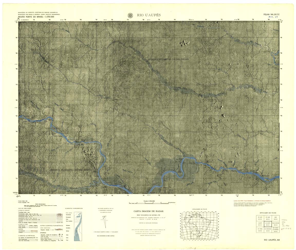
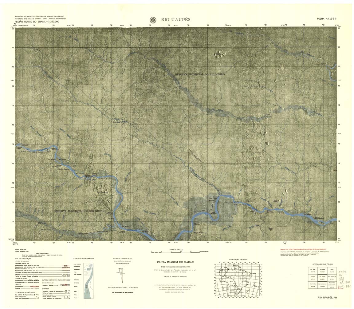
| 039 | NA-19-Z-C | RIO UAUPES | jpg | tif | zip | |||
| 039a | NA-19-Z-C | RIO UAUPES | Radar | jpg | tif | zip | ||
| 040 | NA-19-Z-D | PICO DA NEBLINA | Radar | jpg | tif | zip | ||
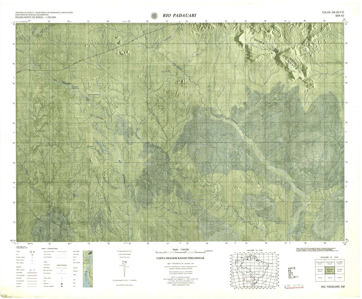
| 042 | NA-20-Y-D | RIO PADAUARI | Radar | jpg | tif | zip | ||
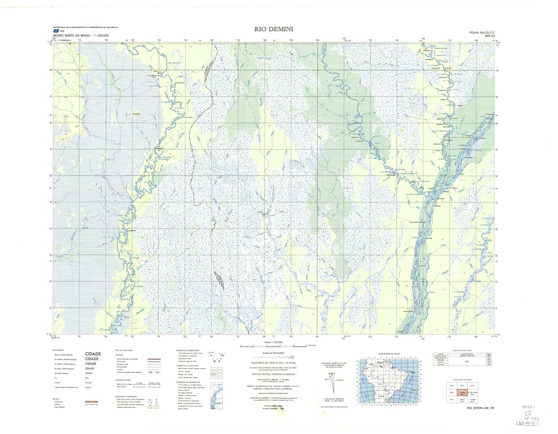
| 043 | NA-20-Z-C | RIO DEMINI | IBGE | Top / Radar | jpg | tif | zip | |
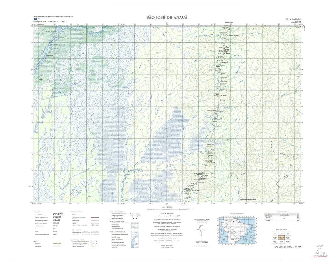
| 044 | NA-20-Z-D | SAO JOSE DO ANAUA | IBGE | Top / Radar | jpg | tif | zip | |
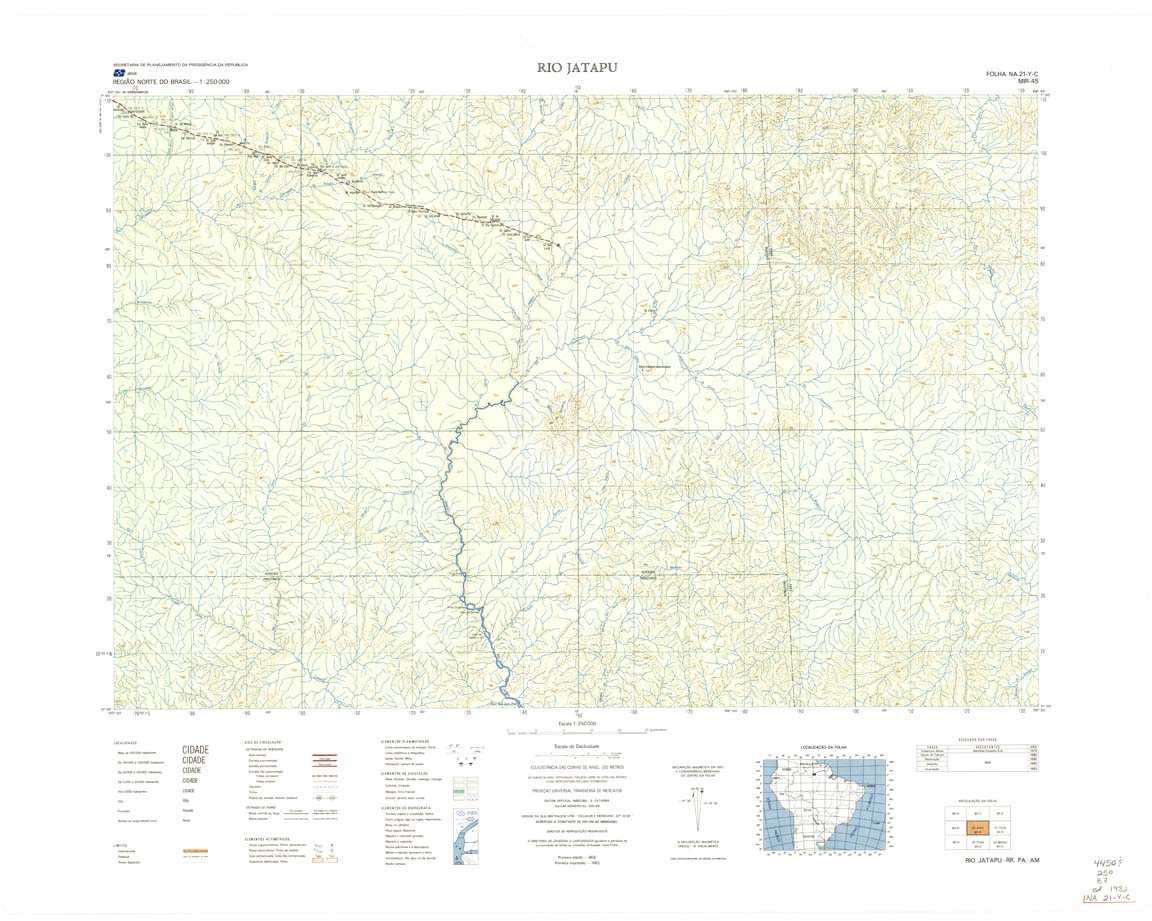
| 045 | NA-21-Y-C | RIO JATAPU | IBGE | Top / Radar | jpg | tif | zip | |
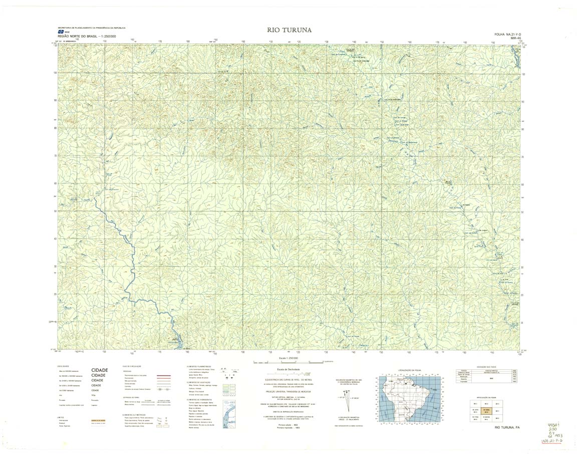
| 046 | NA-21-Y-D | RIO TURUNA | IBGE | Top / Radar | jpg | tif | zip | |
| 047 | NA-21-Z-C | RIO PARU DE OESTE | Radar | jpg | tif | zip | ||
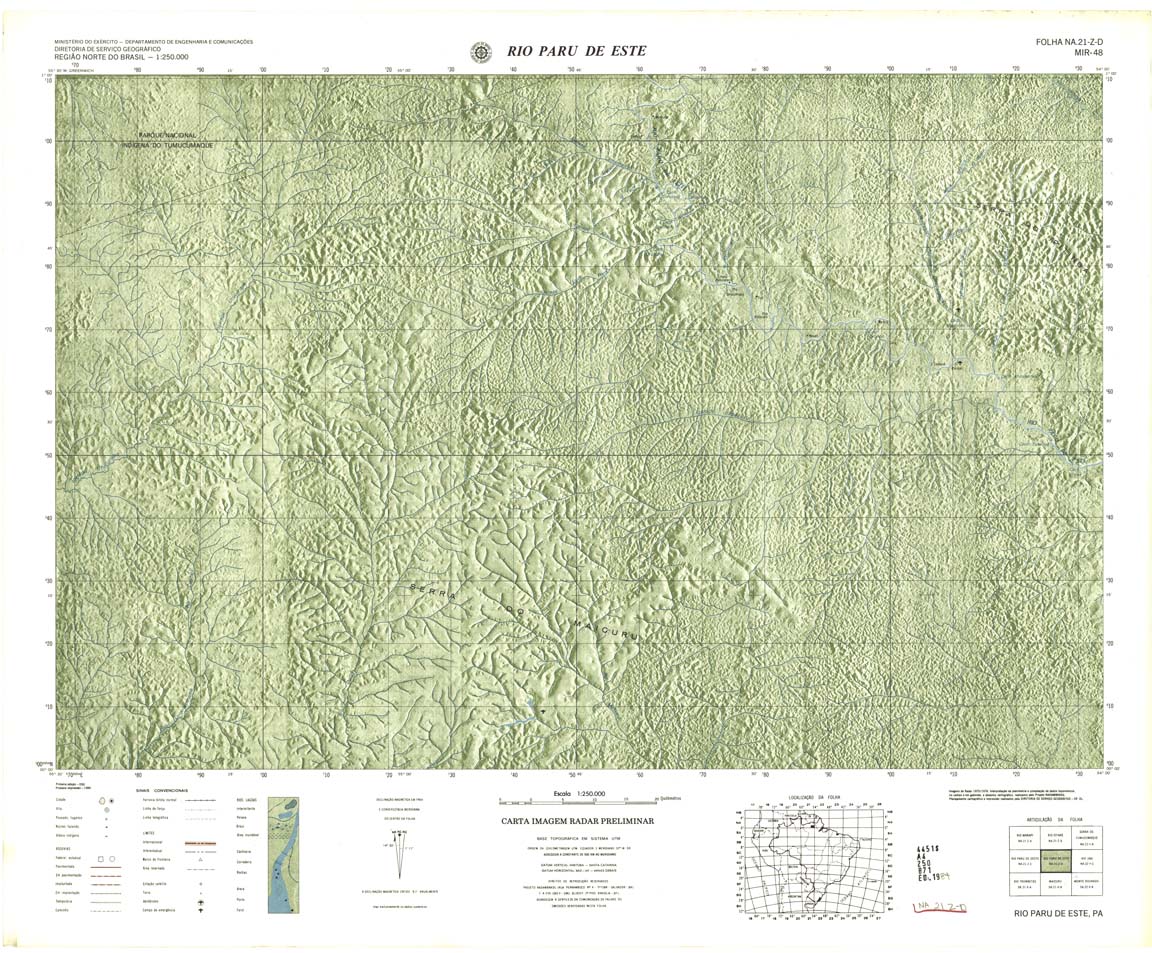
| 048 | NA-21-Z-D | RIO PARU DE ESTE | Radar | jpg | tif | zip | ||
| 049 | NA-22-Y-C | RIO JARI | Radar | jpg | tif | zip | ||
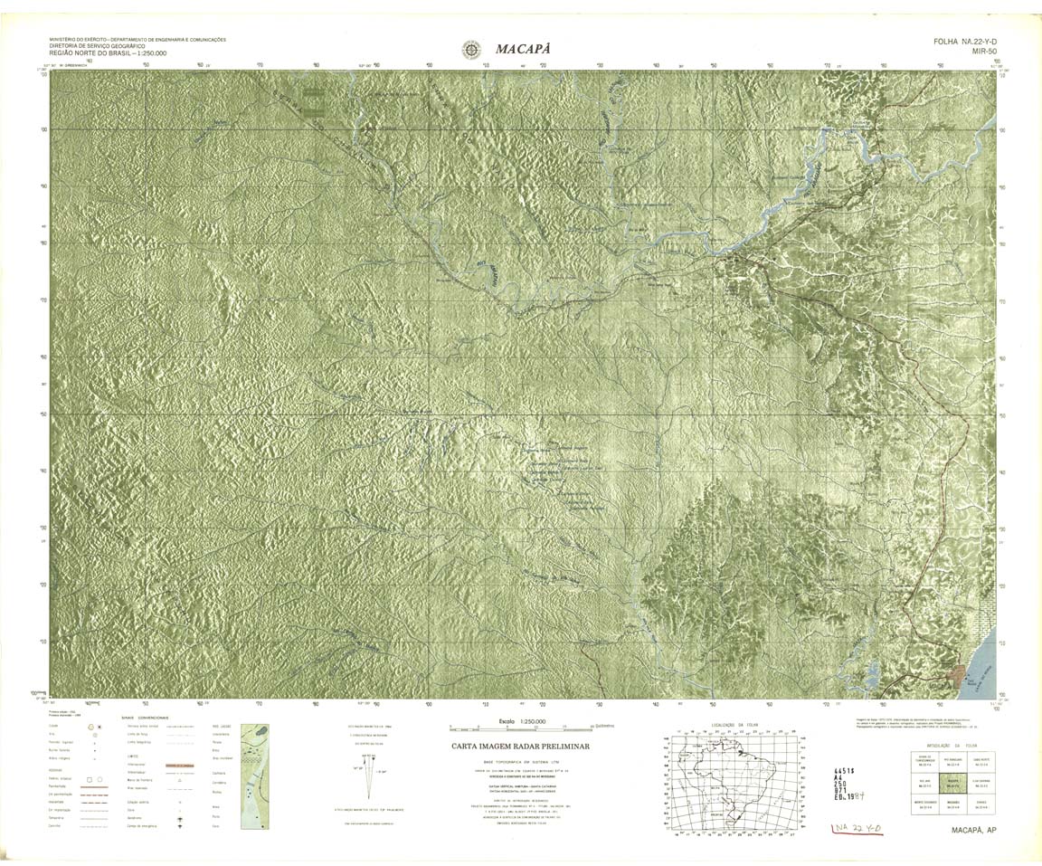
| 050 | NA-22-Y-D | MACAPA | Radar | jpg | tif | zip | ||
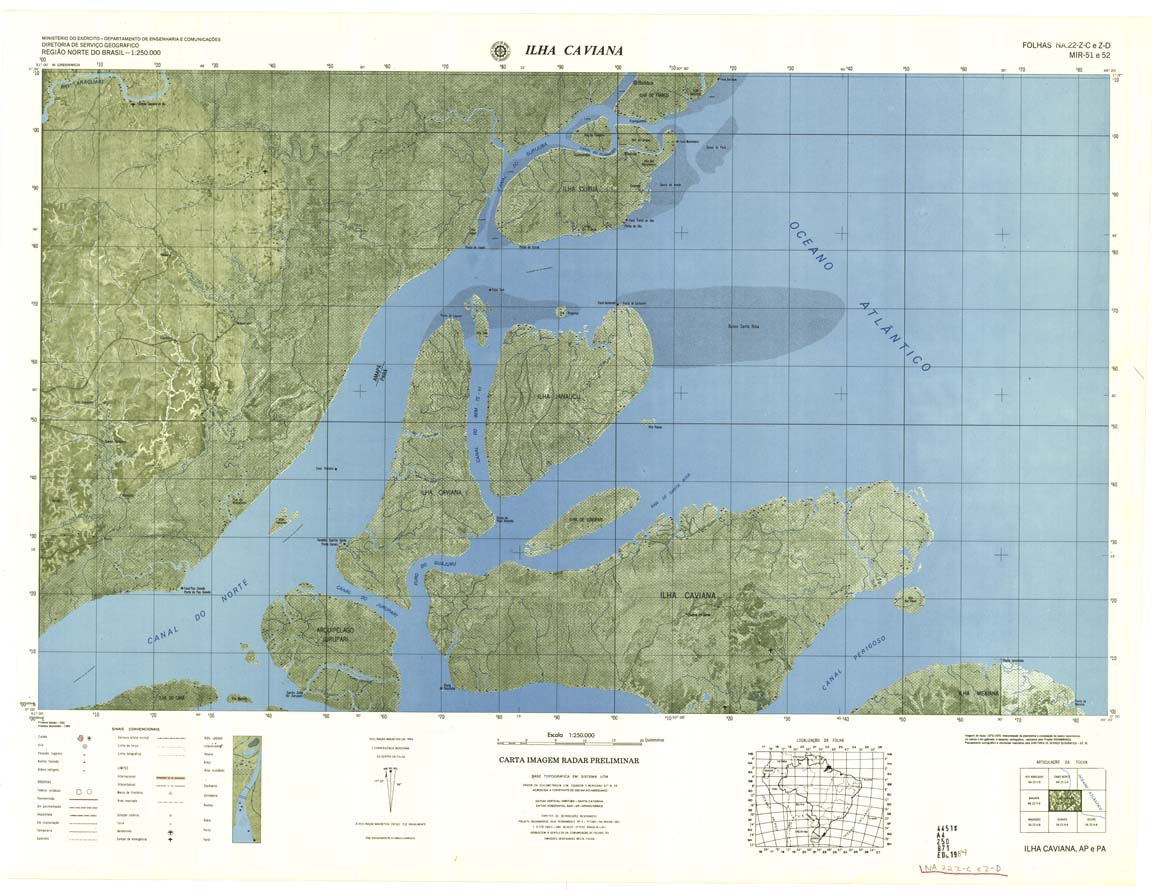
| 051_052 | NA-22-Z-C E Z-D | ILHA CAVIANA | Radar | jpg | tif | zip | ||
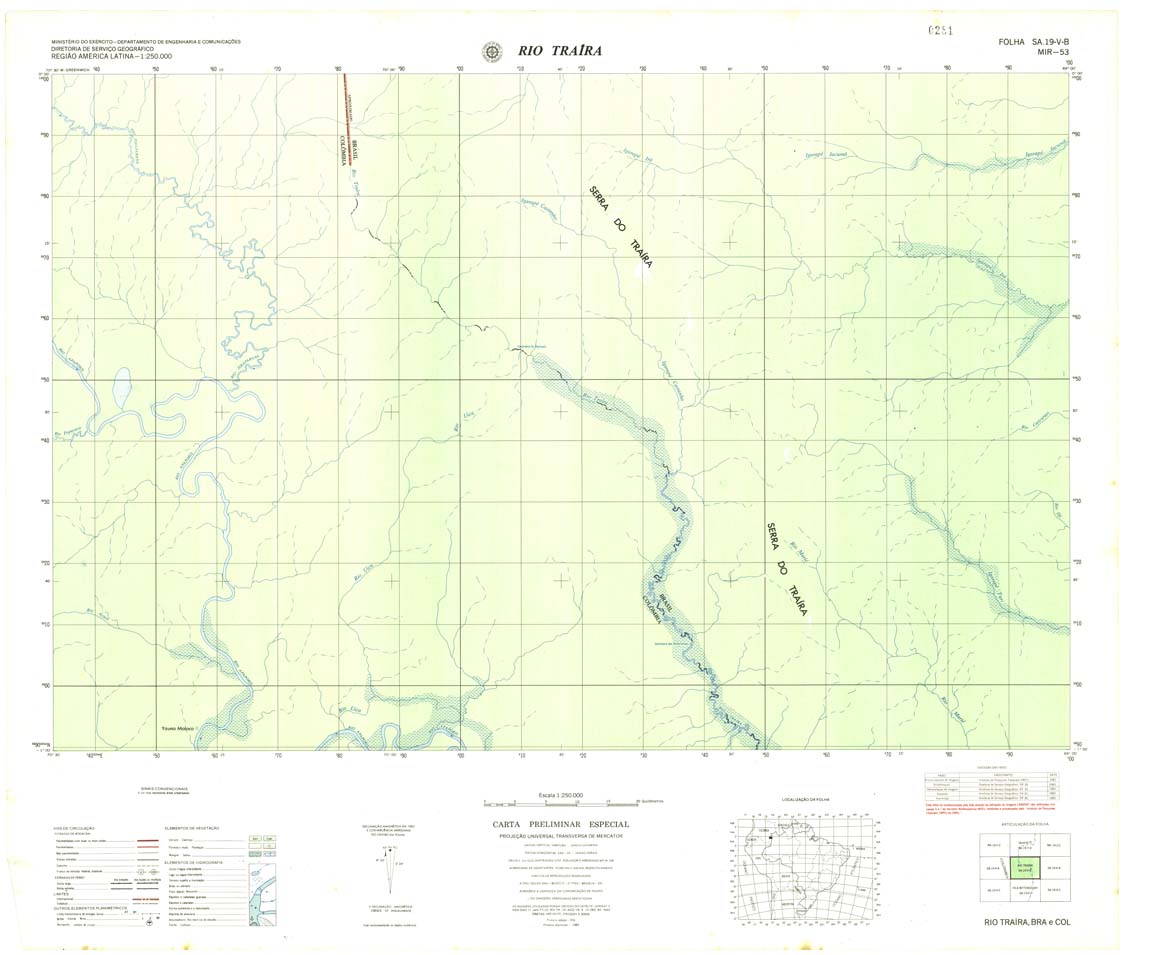
| 053 | SA-19-V-B | RIO TRAIRA | 1983 | Radar | jpg | tif | zip | |
| 054 | SA-19-X-A | RIO CURICURIARI | Radar | jpg | tif | zip | ||
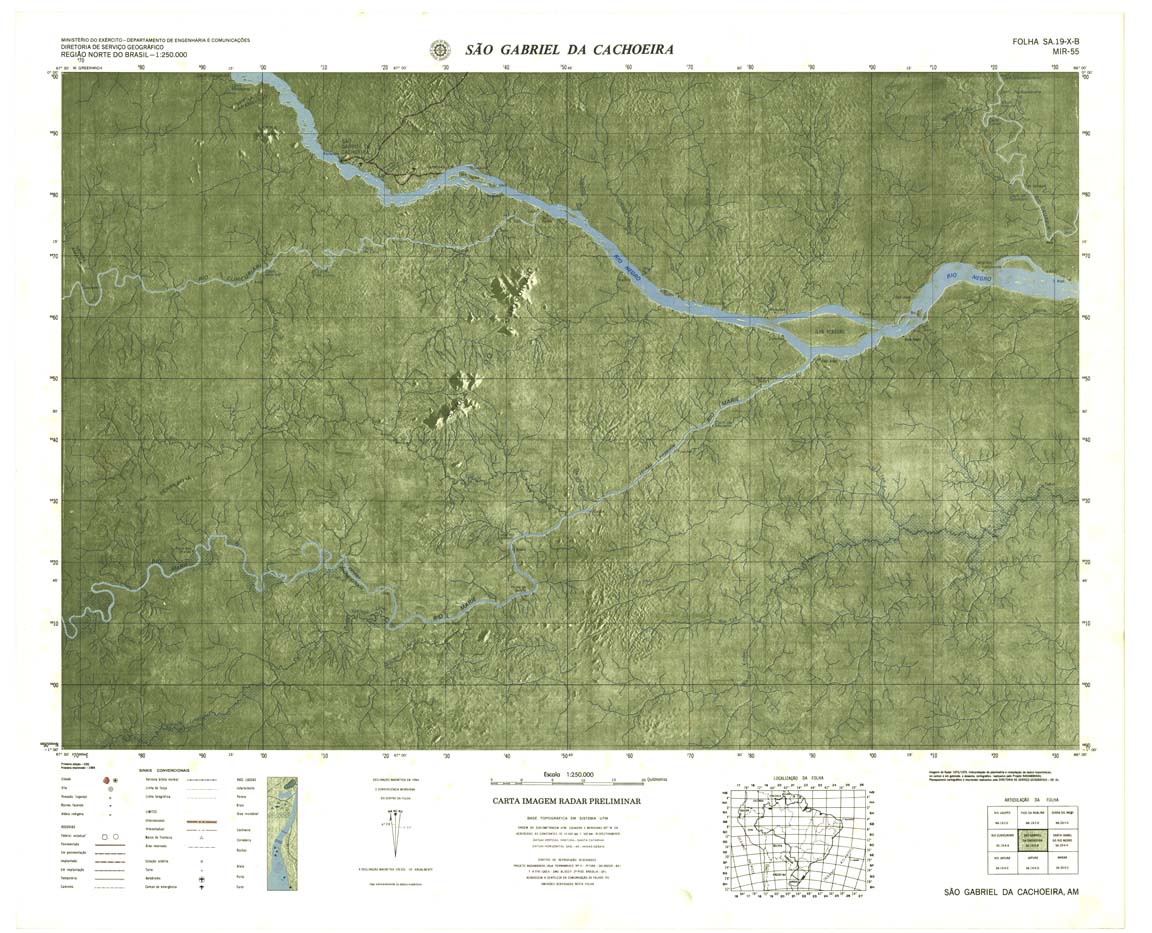
| 055 | SA-19-X-B | SÃO GABRIEL DA CACHOERA | Radar | jpg | tif | zip | ||
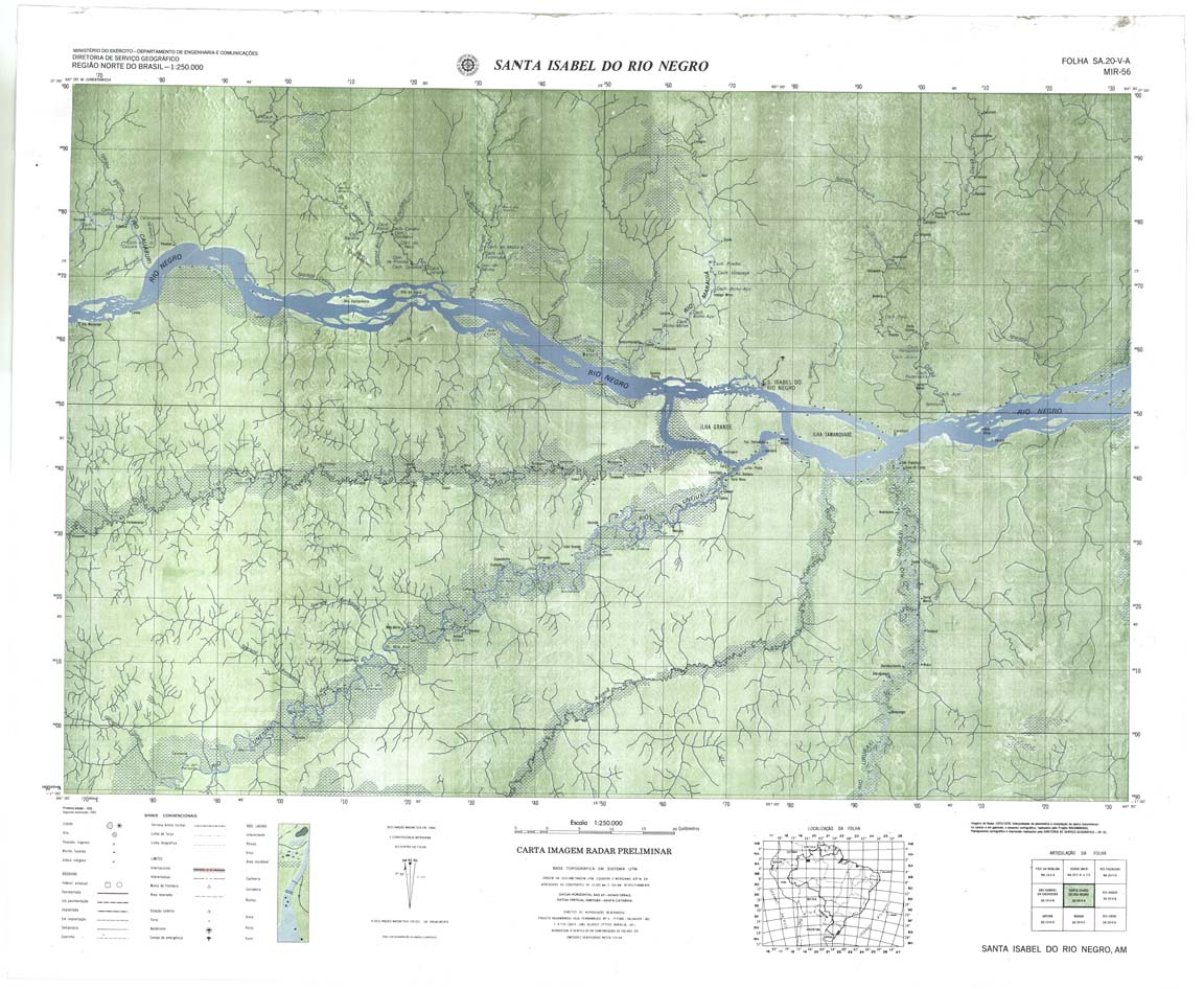
| 056 | SA-20-V-A | SANTA ISABEL DO RIO NEGRO | Radar | jpg | tif | zip | ||
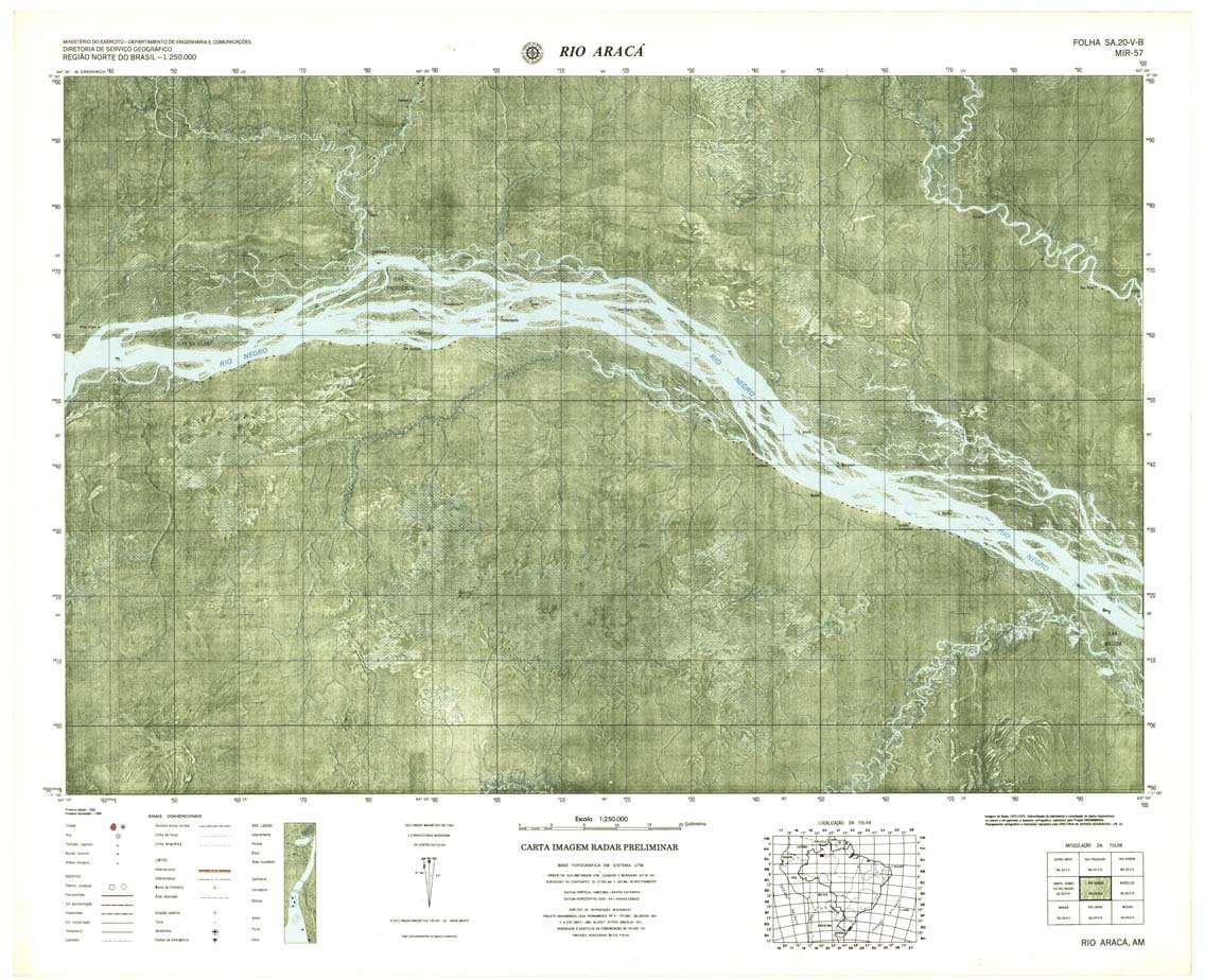
| 057 | SA-20-V-B | RIO ARAÇA | Radar | jpg | tif | zip | ||
| 058 | SA-20-X-A | BARCELOS | IBGE | Top / Radar | jpg | tif | zip | |
| 059 | SA-20-X-B | RIO ALALAU | IBGE | Top / Radar | jpg | tif | zip | |
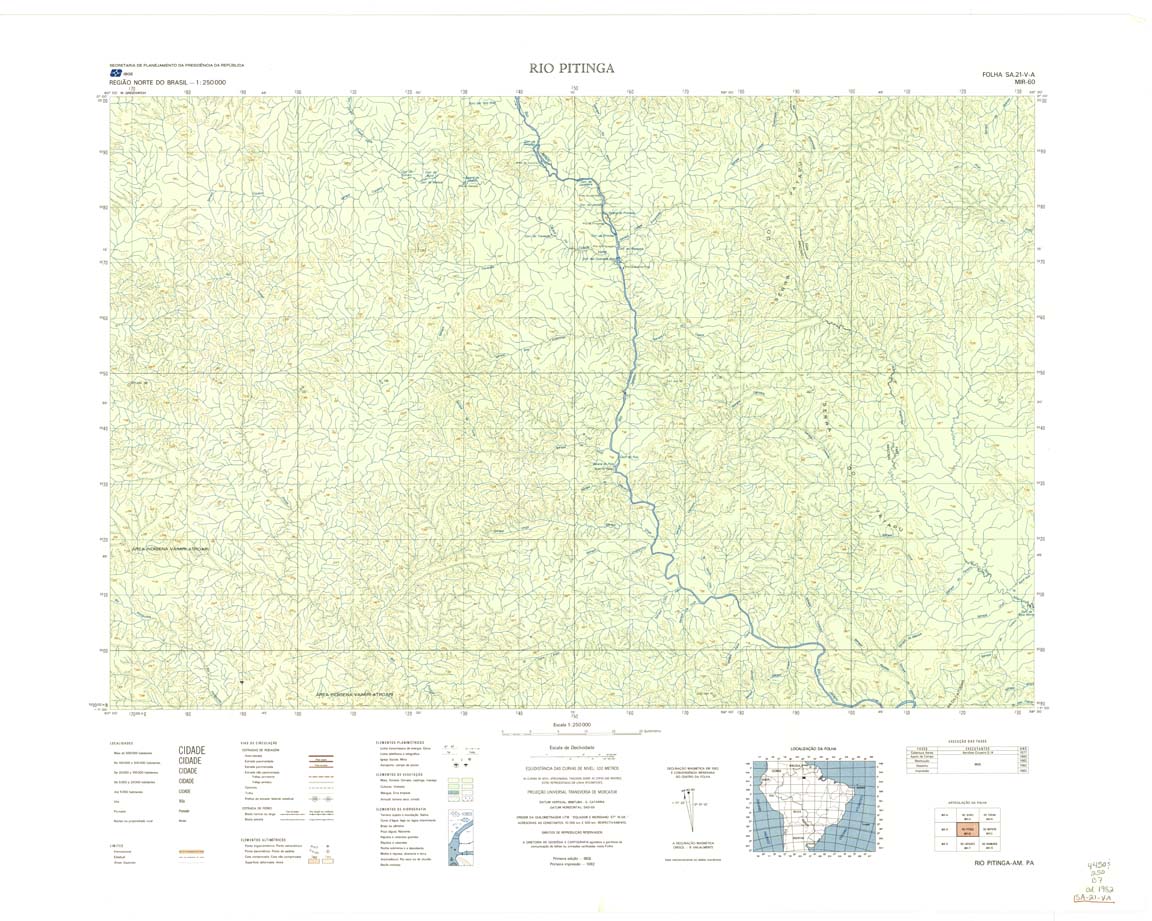
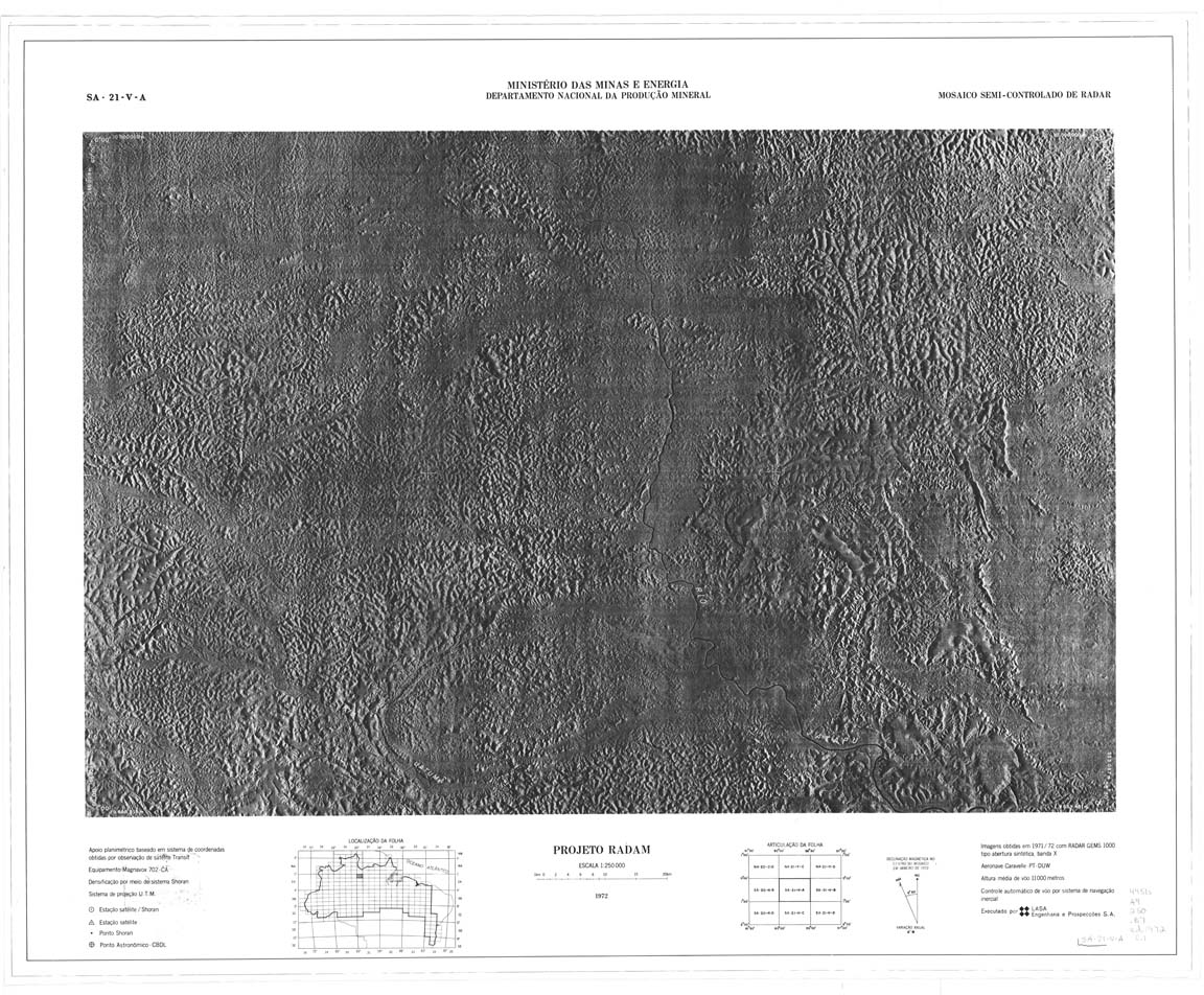
| 060-8bit | SA-21-V-A | RIO PITINGA | IBGE | Top / Radar | jpg | tif | zip | |
| 060-rbw | SA-21-V-A | RIO PITINGA | jpg | tif | ||||
| 061 | SA-21-V-B | RIO MAPUERA | IBGE | Top / Radar | jpg | tif | zip | |
| 062 | SA-21-X-A | RIO TROMBETAS | Radar | jpg | tif | zip | ||
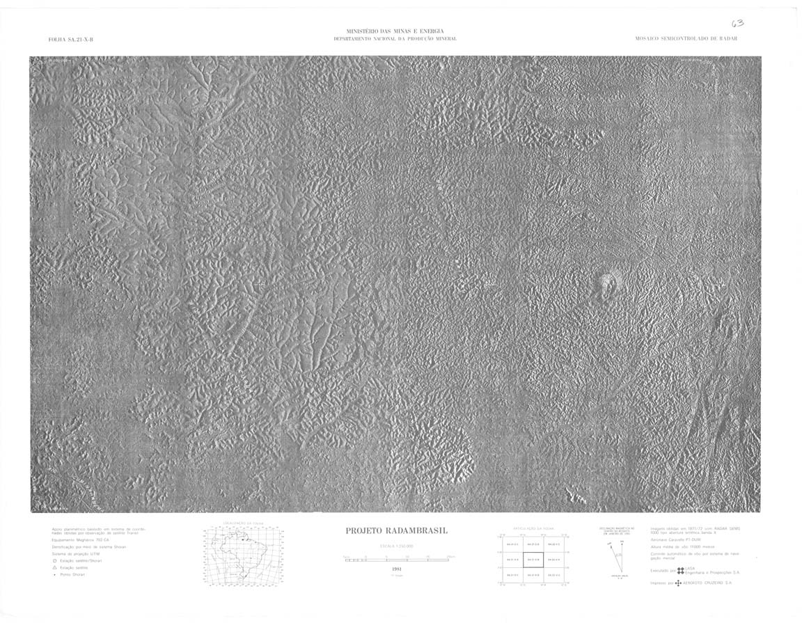
| 063 | SA-21-X-B | RIO MAICURU | DSG | Top / Radar | jpg | tif | zip | |
| 064 | SA-22-V-A | MONTE DOURADO | Radar | jpg | tif | zip | ||
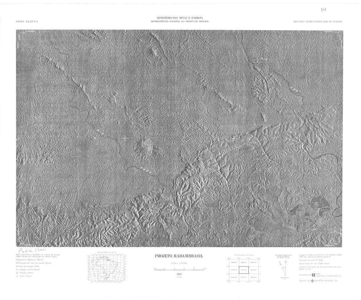
| 065 | SA-22-V-B | AJERICO | Top / Radar | jpg | tif | zip | ||
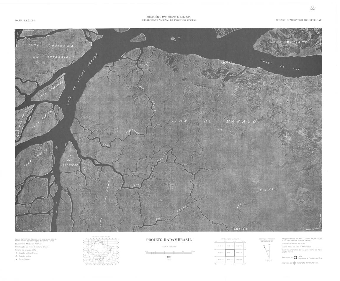
| 066 | SA-22-X-A | CHAVES | DSG | Top / Radar | jpg | tif | zip | |
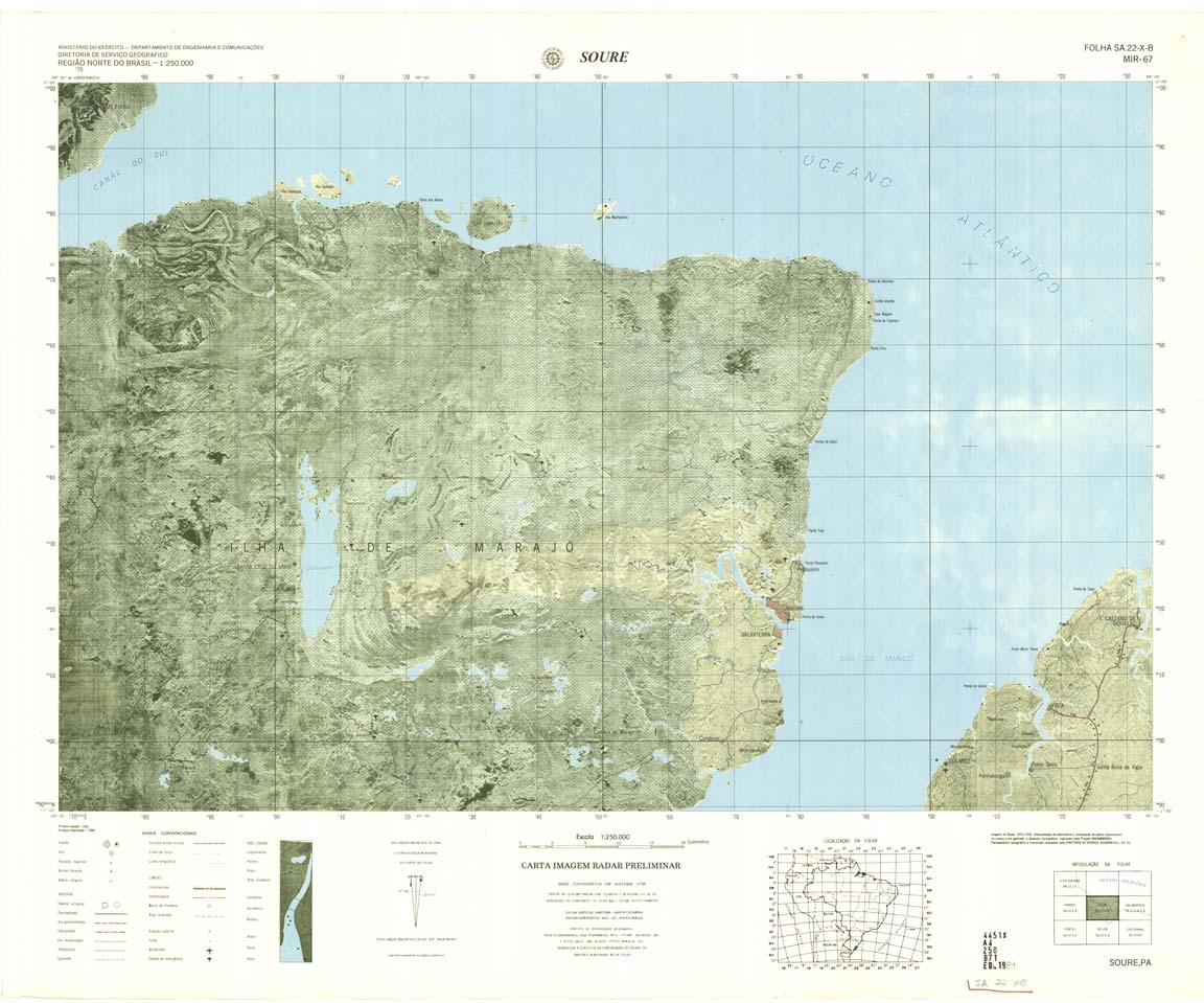
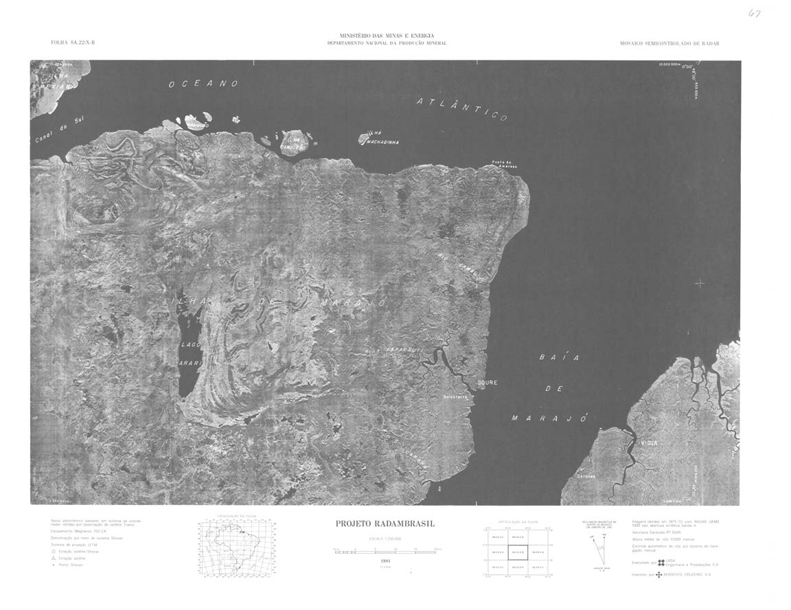
| 067-8bit | SA-22-X-B | SOURE | DSG | Top / Radar | jpg | tif | zip | |
| 067-rbw | SA-22-X-B | SOURE | jpg | tif | ||||
| 068_069 | SA-23-V-A | SALINOPOLIS | DSG | Top / Radar | jpg | tif | zip | |
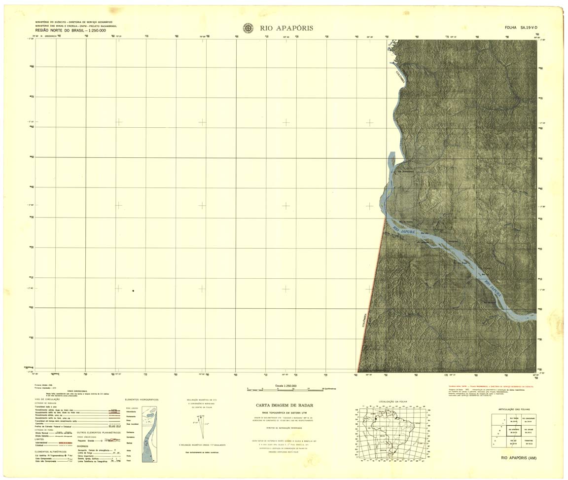
| 070 | SA-19-V-D | RIO APAPORIS | Top / Radar | jpg | tif | zip | ||
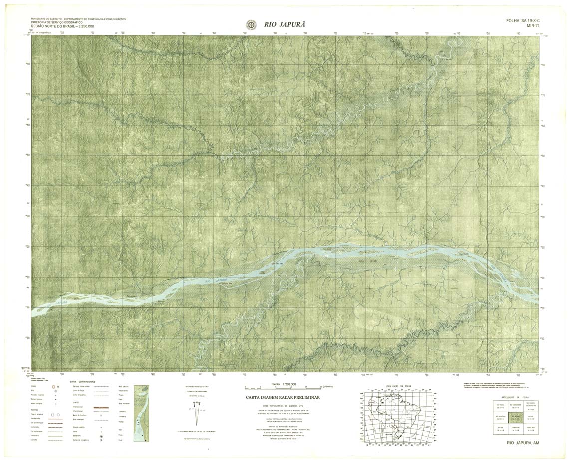
| 071 | SA-19-X-C | RIO JAPURA | Radar | jpg | tif | zip | ||
| 072 | SA-19-X-D | JAPURA | Radar | jpg | tif | zip | ||
| 073 | SA-20-V-C | MARAA | Top / Radar | jpg | tif | zip | ||
| 074 | SA-20-V-D | RIO UNINI | Top / Radar | jpg | tif | zip | ||
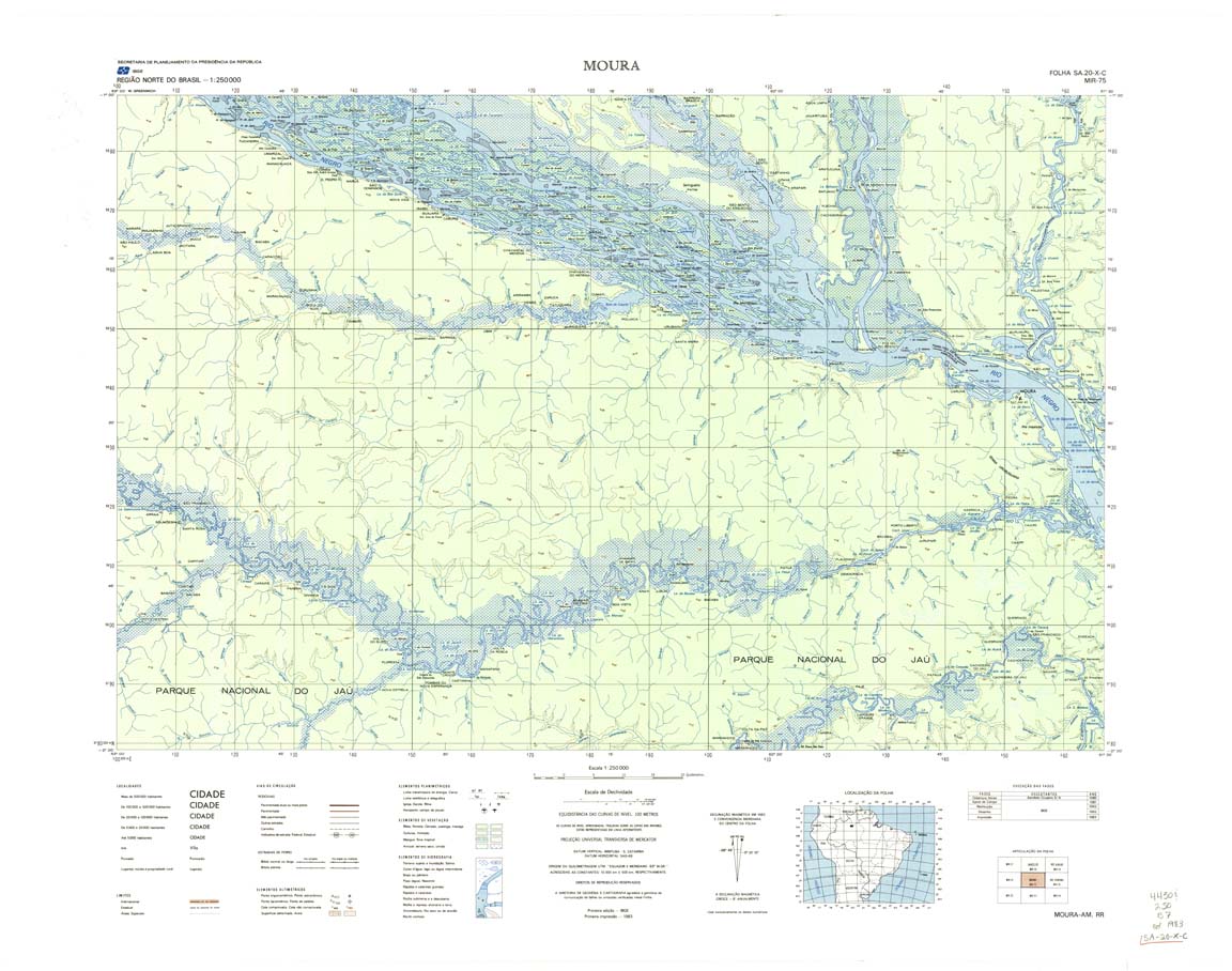
| 075 | SA-20-X-C | MOURA | IBGE | Top / Radar | jpg | tif | zip | |
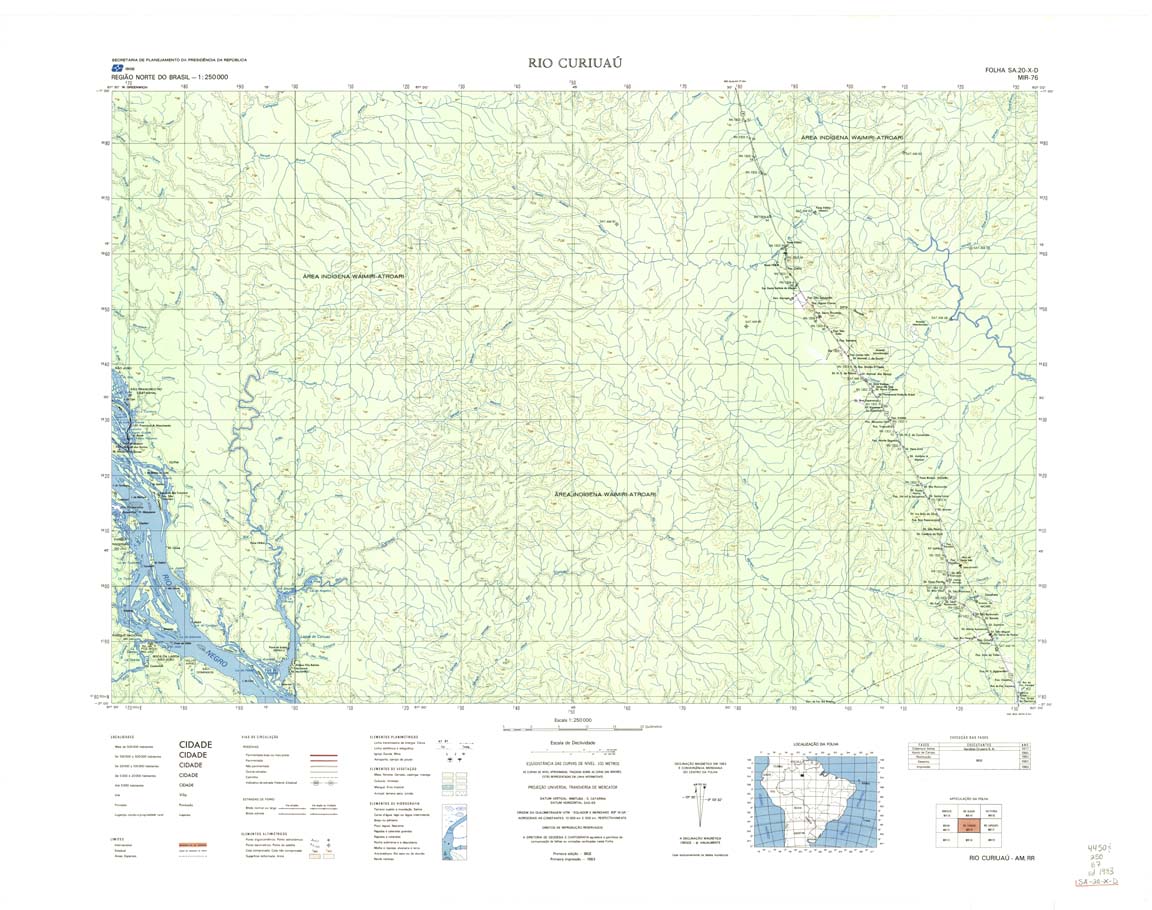
| 076 | SA-20-X-D | RIO CURIUAU | IBGE | Top / Radar | jpg | tif | zip | |
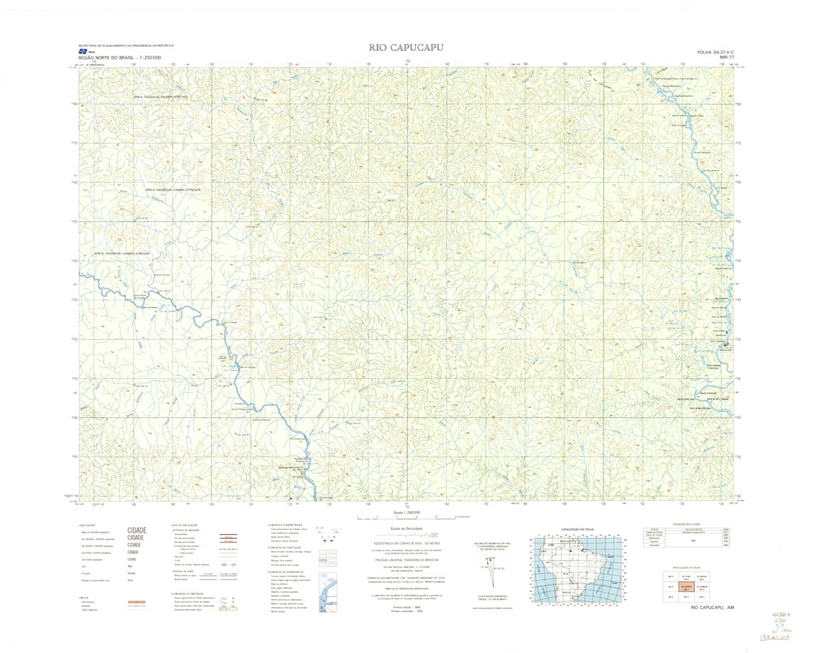
| 077-8bit | SA-21-V-C | RIO CAPUCAPU | IBGE | Top / Radar | jpg | tif | zip | |
| 077-rbw | SA-21-V-C | RIO CAPUCAPU | jpg | tif | ||||
| 078 | SA-21-V-D | RIO NHAMUNDA | IBGE | Top / Radar | jpg | tif | zip | |
| 079 | SA-21-X-C | OBIDOS | 1986 | Top / Radar | jpg | tif | zip | |
| 080 | SA-21-X-D | ALENQUER | Radar | jpg | tif | zip | ||
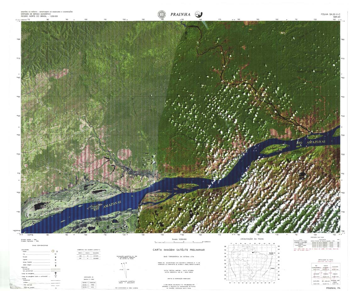
| 081 | SA-22-V-C | PRAINHA | Top / Radar | jpg | tif | zip | ||
| 082 | SA-22-V-D | GURUPA | Radar | jpg | tif | zip | ||
| 083 | SA-22-X-C | BREVES | IBGE | Top / Radar | jpg | tif | zip | |
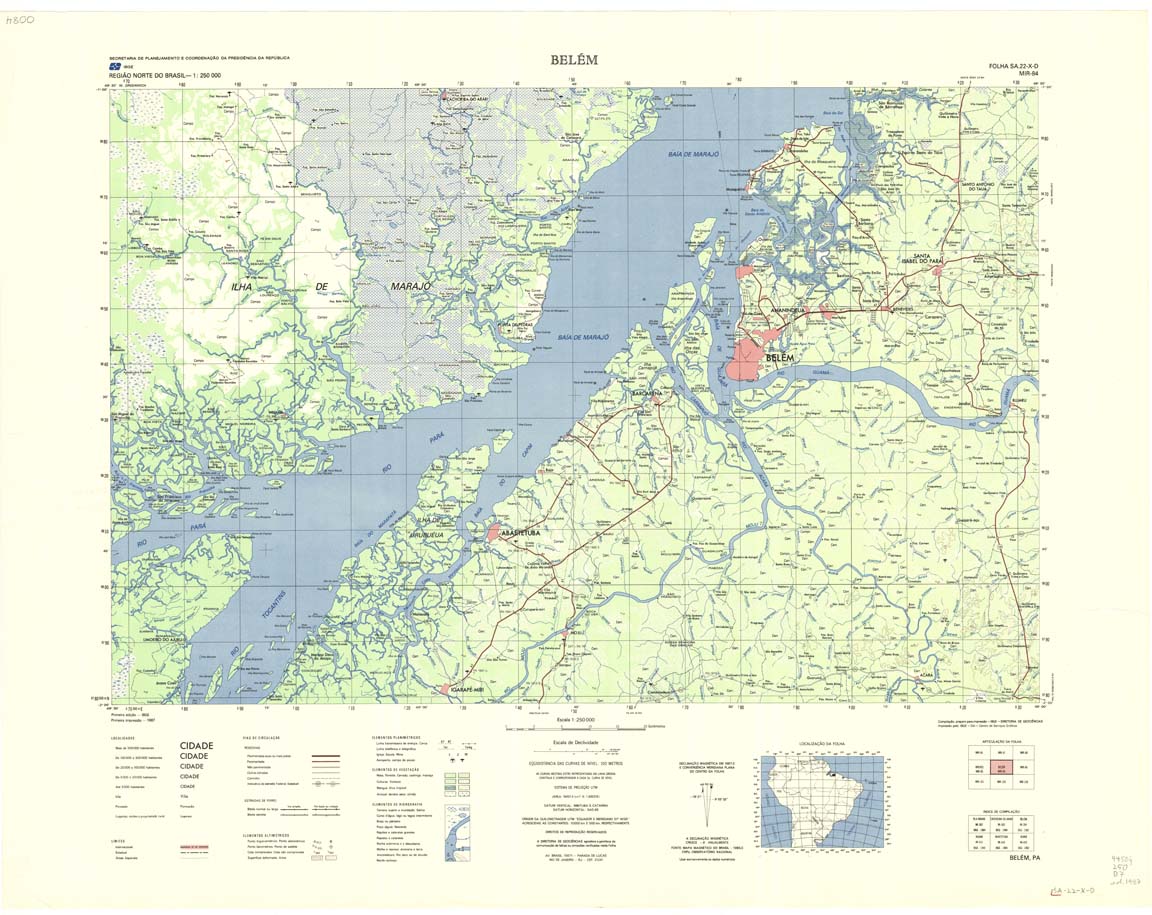
| 084 | SA-22-X-D | BELEM | IBGE | Top / Radar | jpg | tif | zip | |
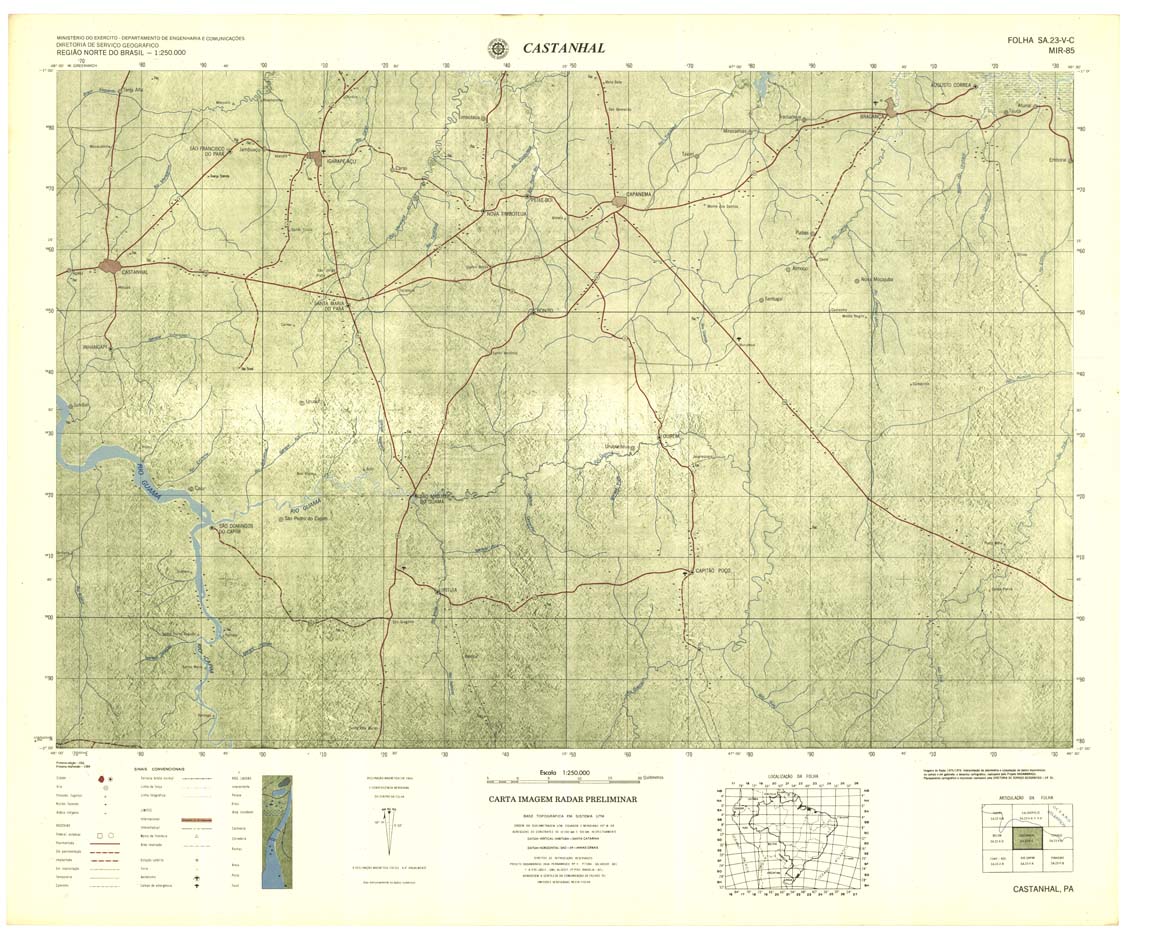
| 085 | SA-23-V-C | CASTANHAL | Radar | jpg | tif | zip | ||
| 086 | SA-23-V-D | TURUAÇU | Radar | jpg | tif | zip | ||
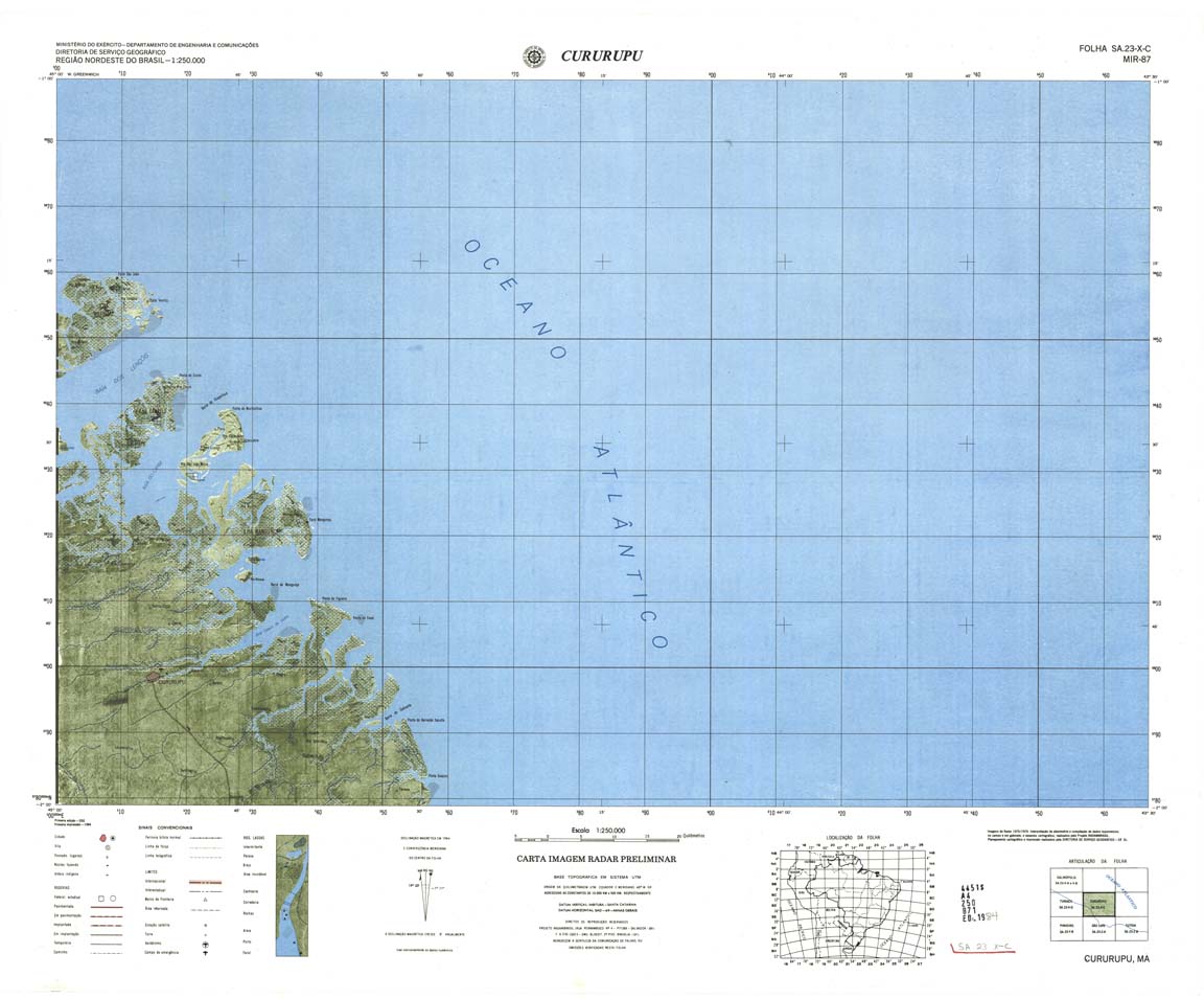
| 087 | SA-23-X-C | CURURUPU | Radar | jpg | tif | zip | ||
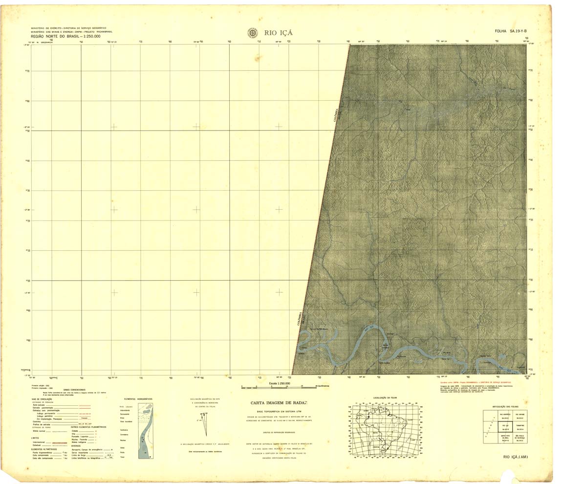
| 088 | SA-19-Y-B | RIO IÇA | 1980 | Radar | jpg | tif | zip | |
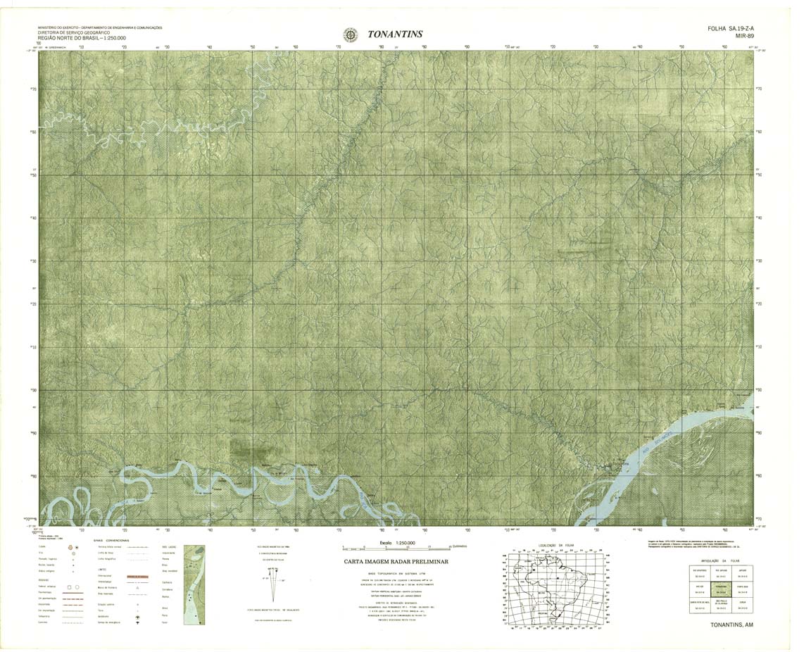
| 089 | SA-19-Z-A | TONANTINS | Radar | jpg | tif | zip | ||
| 090 | SA-19-Z-B | FONTE BOA | Radar | jpg | tif | zip | ||
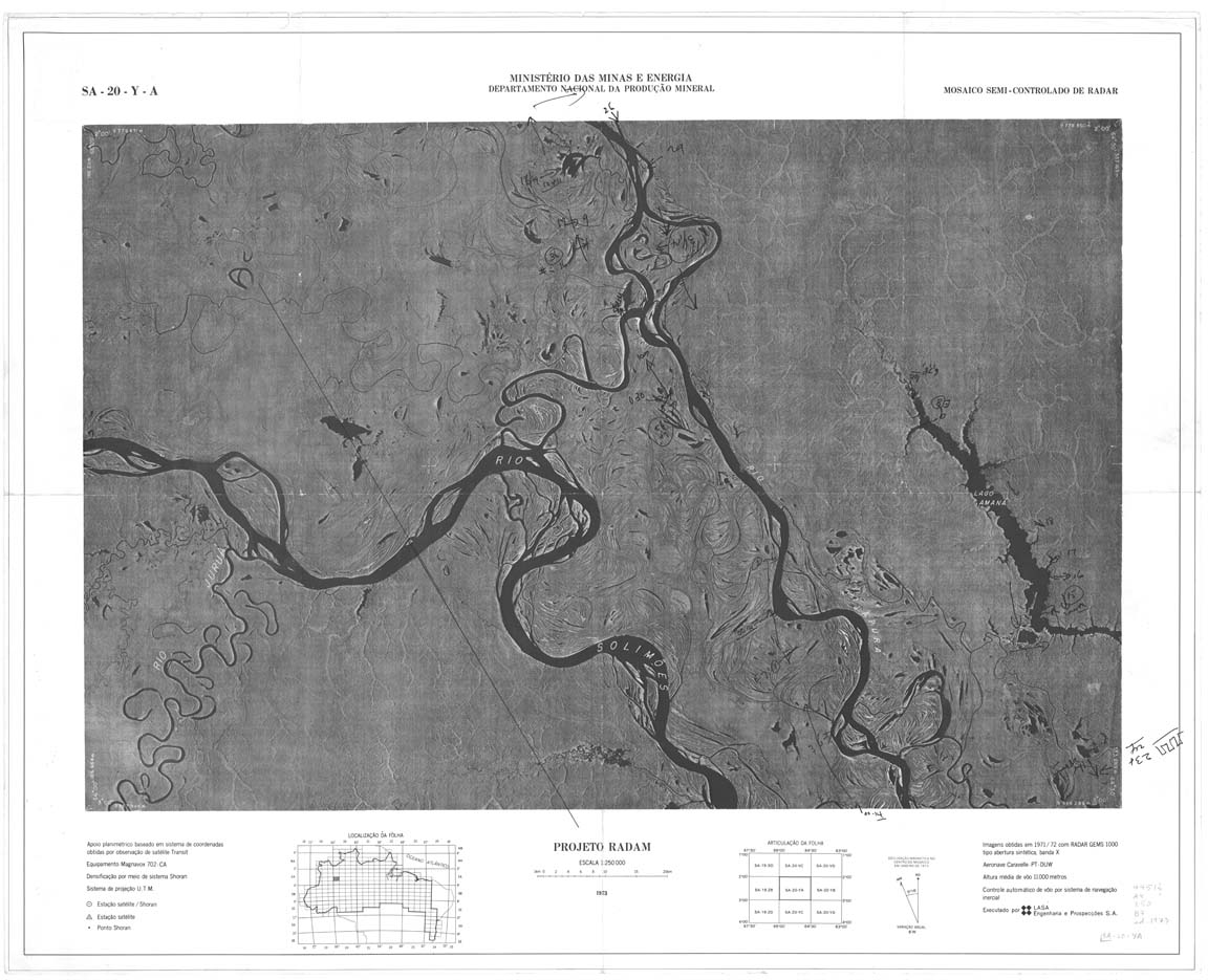
| 091 | SA-20-Y-A | NO NAME | jpg | tif | zip | |||
| 092 | SA-20-Y-B | RIO JAU | Radar | jpg | tif | zip | ||
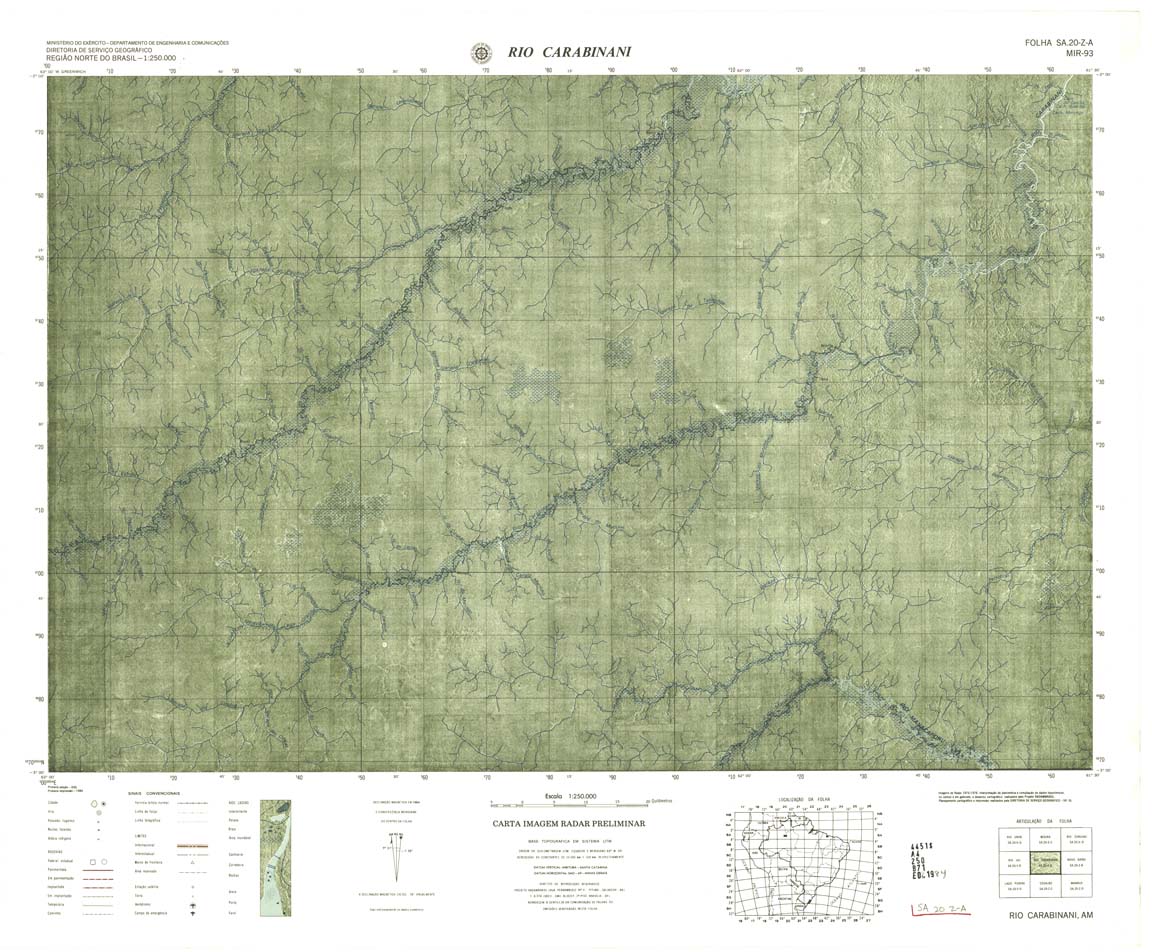
| 093 | SA-20-Z-A | RIO CARABINANI | Radar | jpg | tif | zip | ||
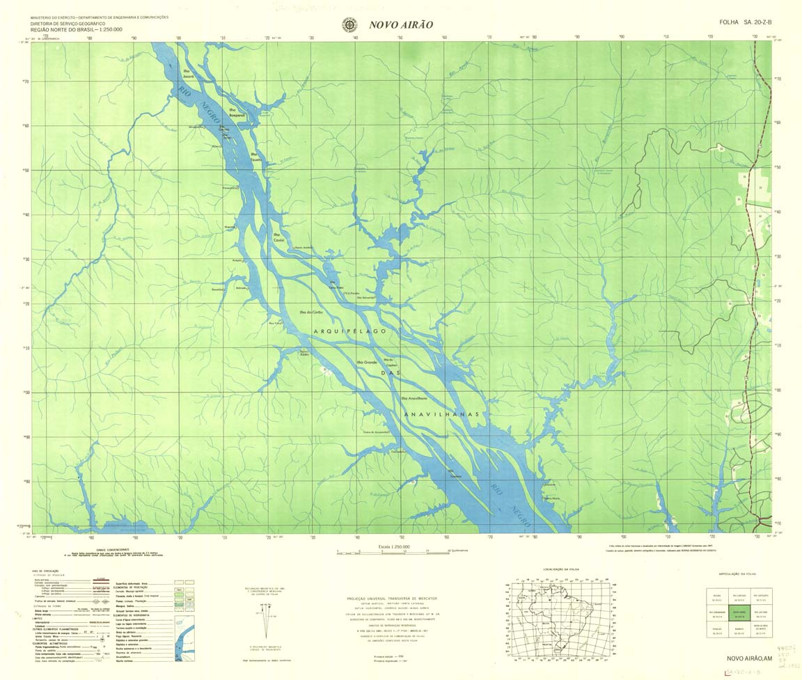
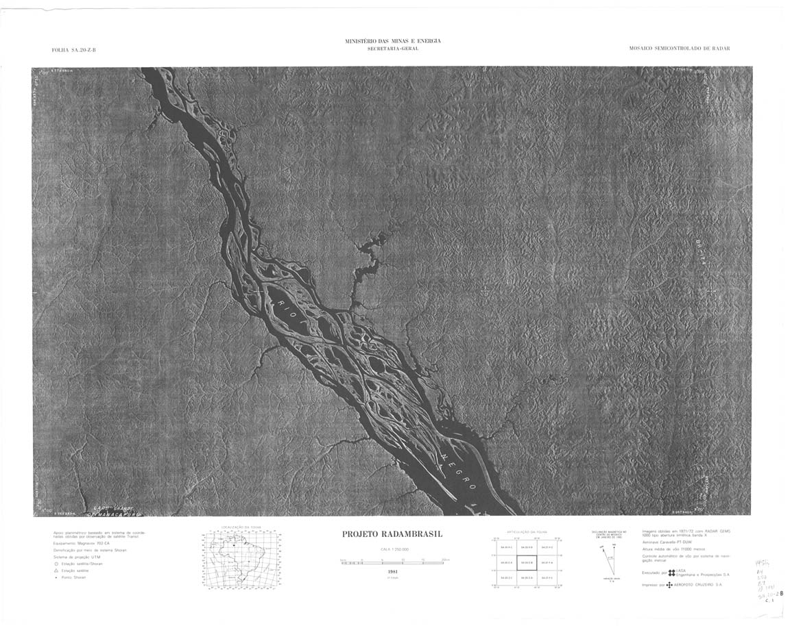
| 094-8bit | SA-20-Z-B | NOVO AIRAO | DSG | Top / Radar | jpg | tif | zip | |
| 094-rbw | SA-20-Z-B | NOVO AIRAO | jpg | tif | ||||
| 095 | SA-21-Y-A | RIO UATUMA | DSG | Top / Radar | jpg | tif | zip | |
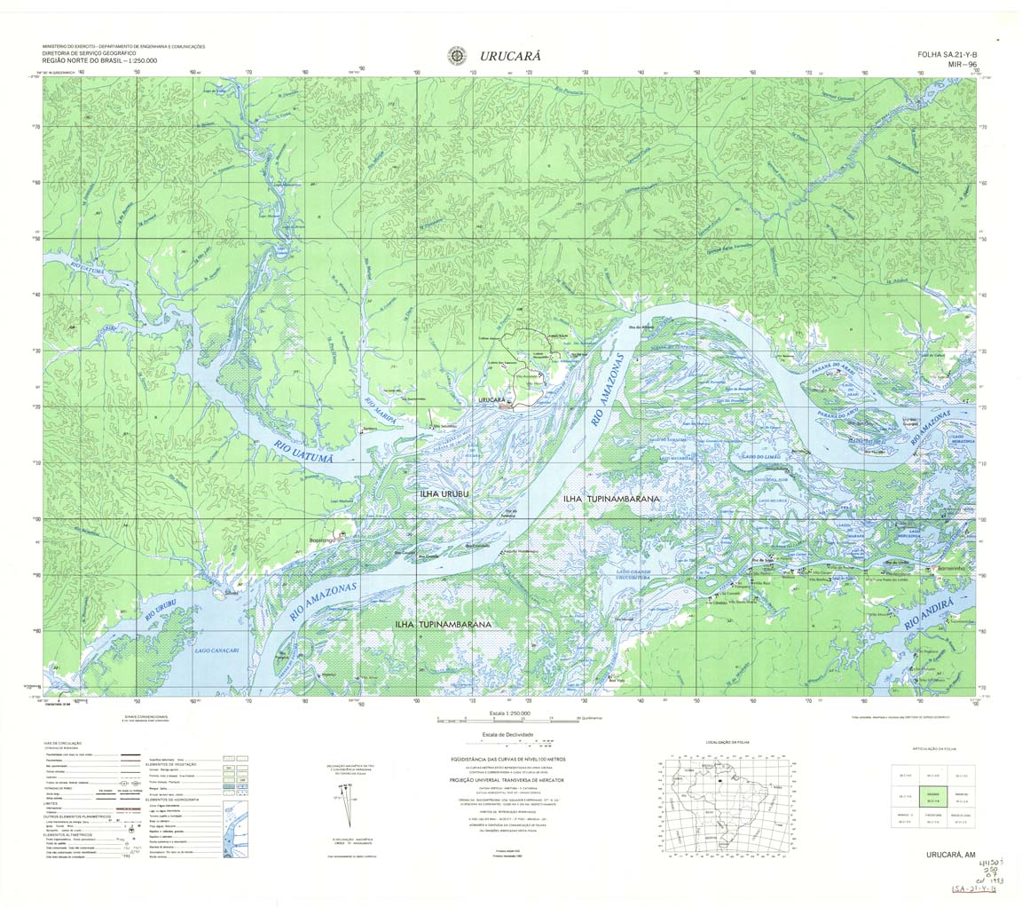
| 096-8bit | SA-21-Y-B | URUCARA | DSG | Top / Radar | jpg | tif | zip | |
| 096-rbw | SA-21-Y-B | URUCARA | jpg | tif | zip | |||
| 096-rcol | SA-21-Y-B | URUCARA | jpg | tif | zip | |||
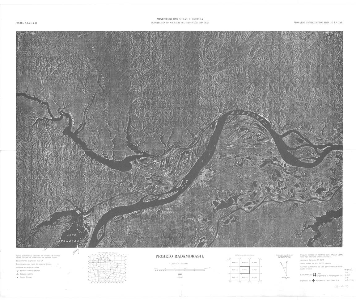
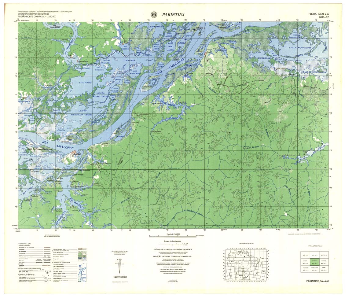
| 097 | SA-21-Z-A | PARINTINS | DSG | Top / Radar | jpg | tif | zip | |
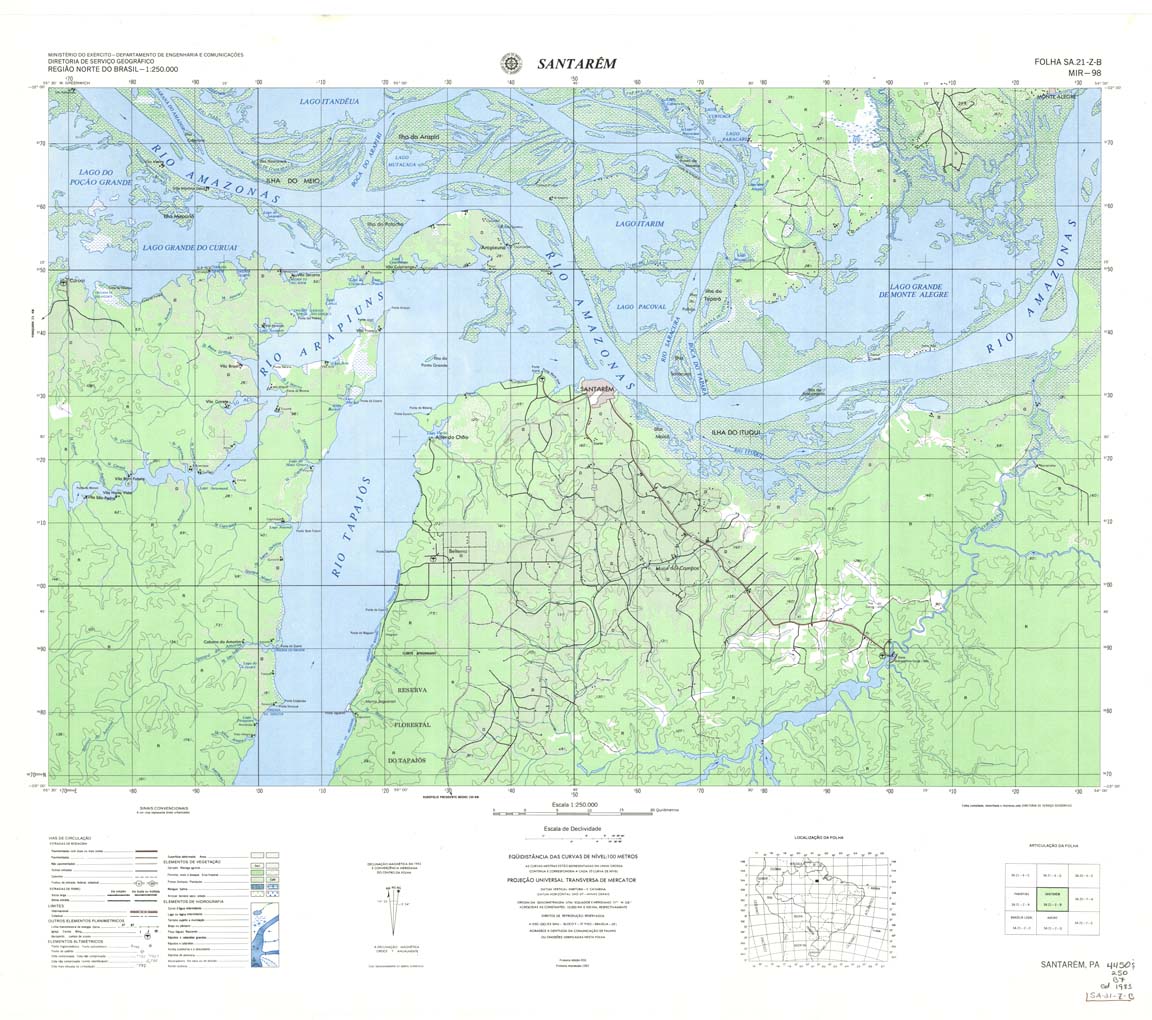
| 098 | SA-21-Z-B | SANTAREM | DSG | Top / Radar | jpg | tif | zip | |
| 098(2) | SA-21-Z-B | SANTAREM | jpg | tif | ||||
| 099 | SA-22-Y-A | NONAME | jpg | tif | zip | |||
| 100 | SA-22-Y-B | NONAME | jpg | tif | zip | |||
| 101 | SA-22-Z-A | CAMETA | DSG | Top / Radar | jpg | tif | zip | |
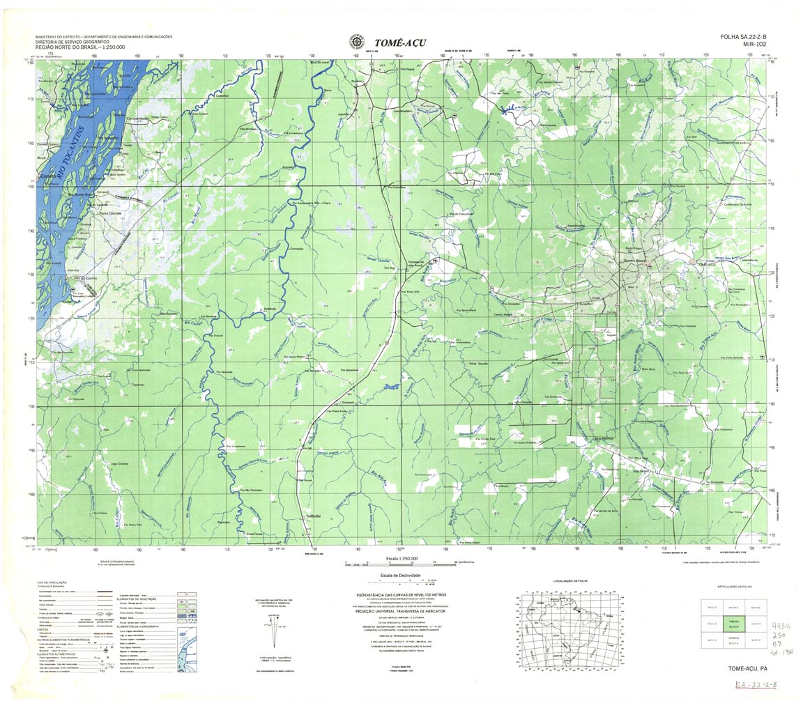
| 102 | SA-22-Z-B | TOME ACU | Top / Radar | jpg | tif | zip | ||
| 103 | SA-23-Y-A | RIO CAPIM | DSG | Top / Radar | jpg | tif | zip | |
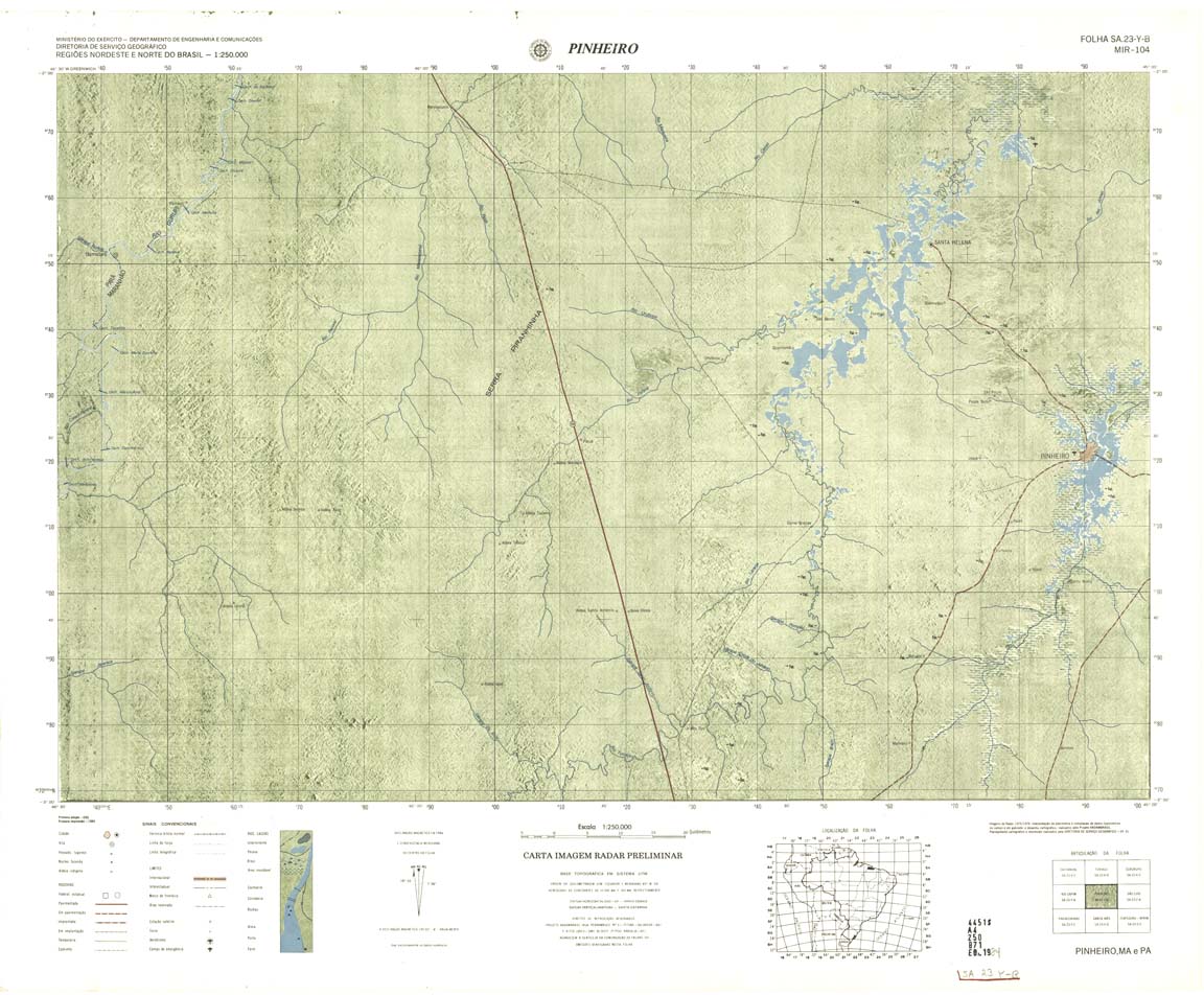
| 104 | SA-23-Y-B | PINHEIROS | Radar | jpg | tif | zip | ||
| 105 | SA-23-Z-A | SAO LUIZ | DSG | Top / Radar | jpg | tif | zip | |
| 106 | SA-23-Z-B | BARREIRINHAS | DSG | Top | jpg | tif | zip | |
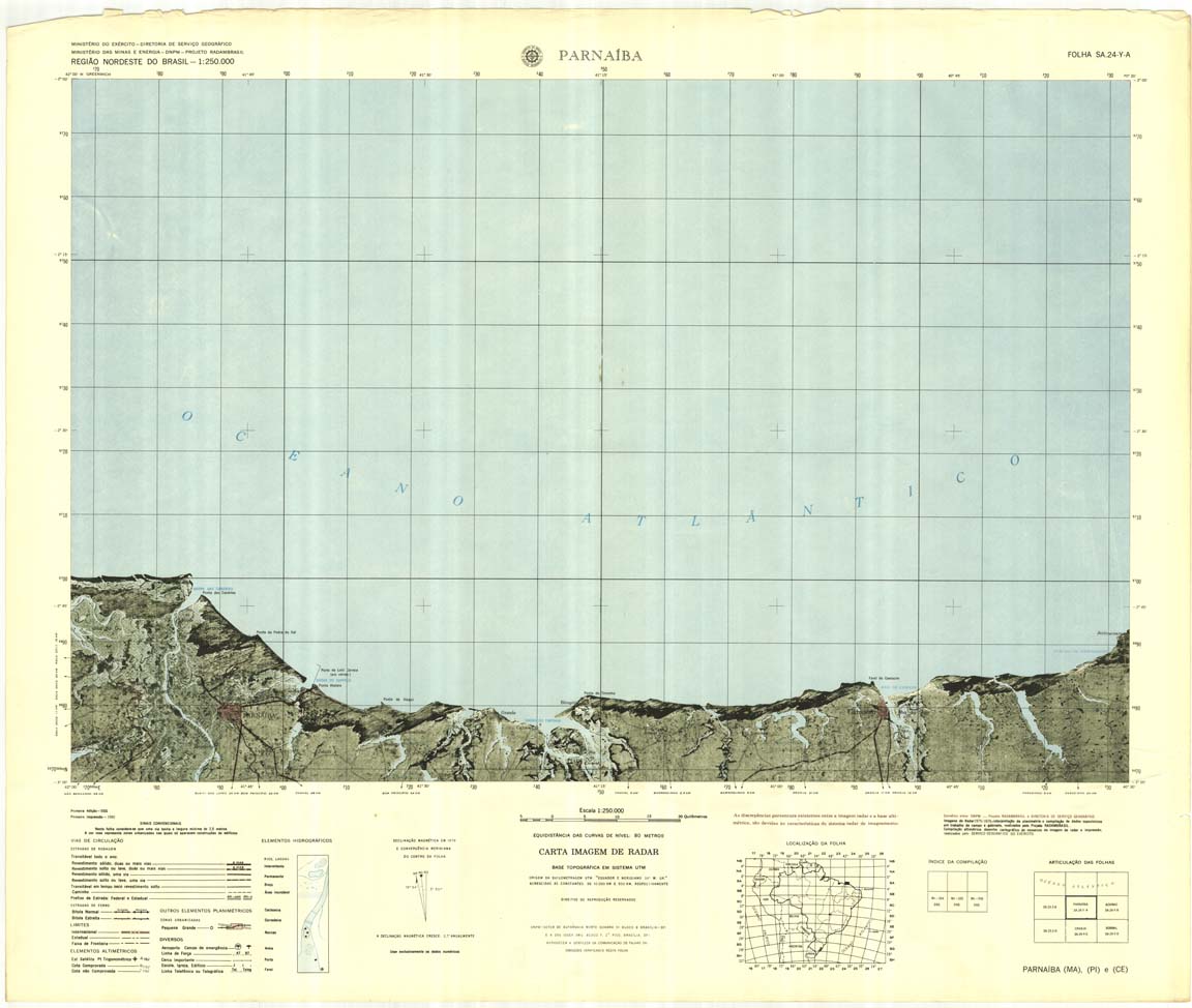
| 107 | SA-24-Y-A | PARNAIBA | Radar | jpg | tif | zip | ||
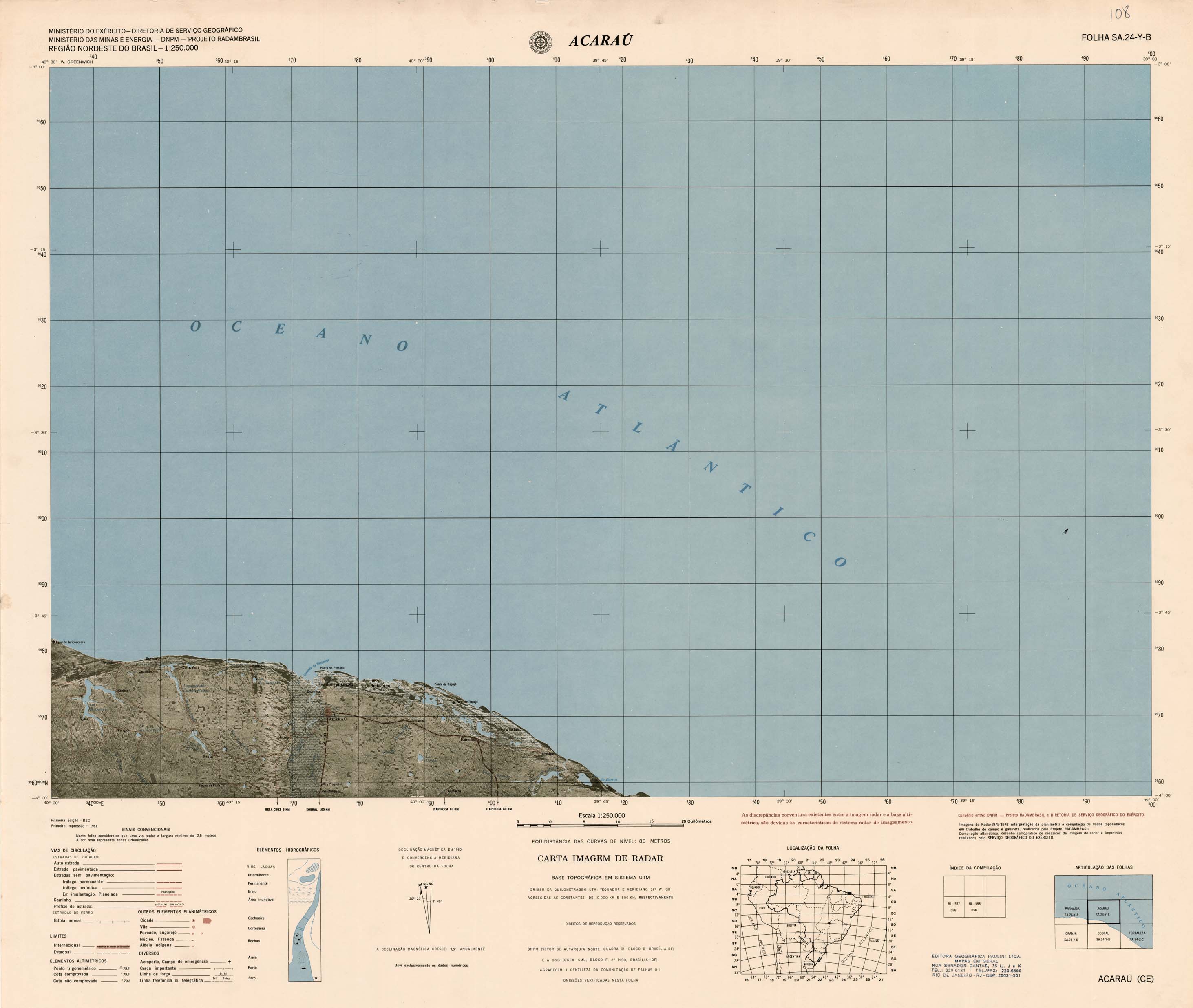
| 108 | SA-24-Y-B | ACARAU | Radar | jpg | tif | zip | ||
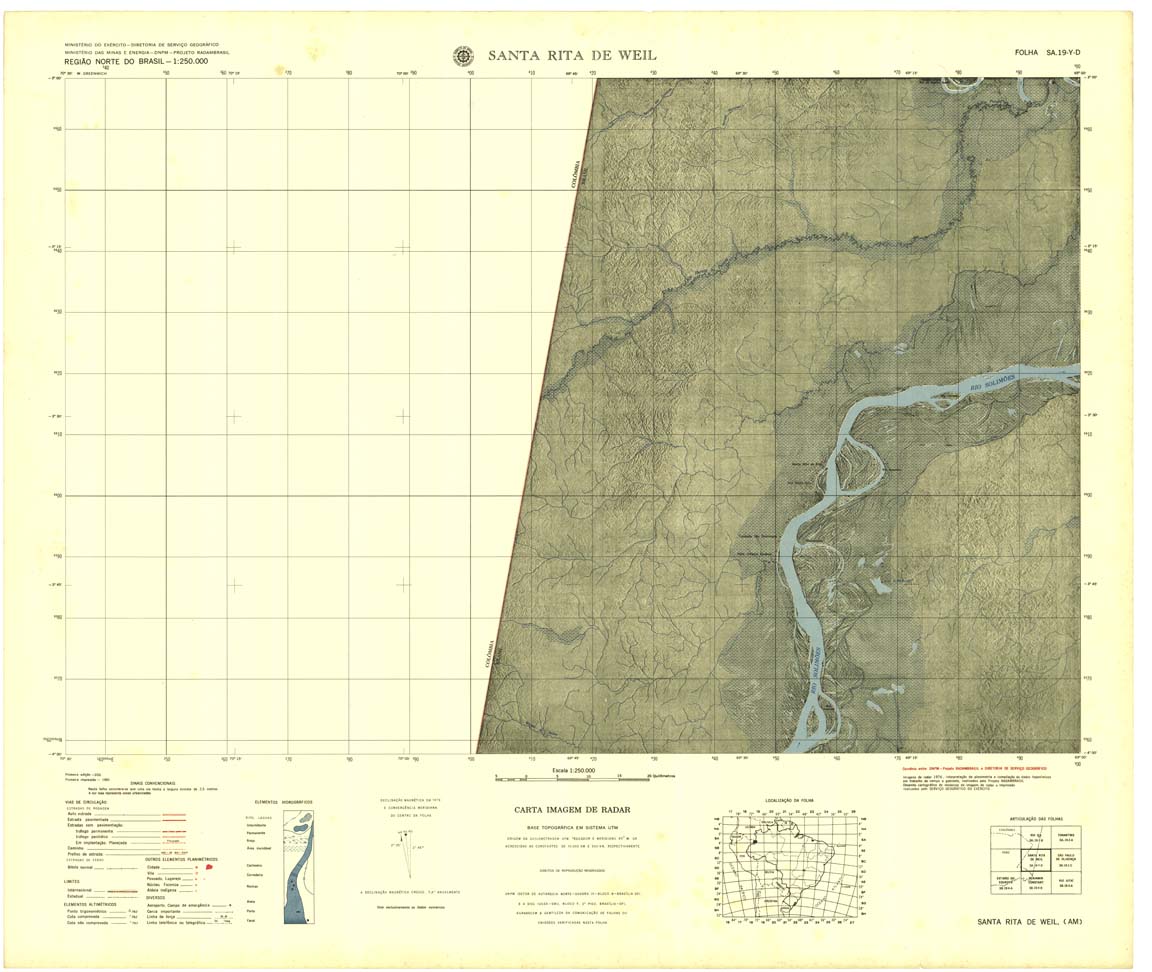
| 109 | SA-19-Y-D | SANTA RITA DO WEIL | DSG | Top / Radar | jpg | tif | zip | |
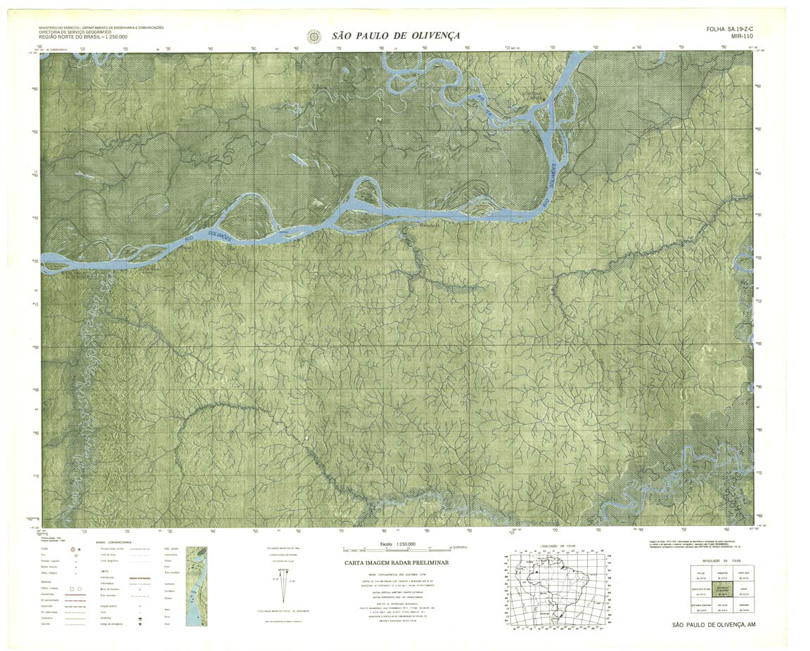
| 110 | SA-19-Z-C | SÃO PAULO DE OLIVENÇA | Radar | jpg | tif | zip | ||
| 111 | SA-19-Z-D | JURUA | Radar | jpg | tif | zip | ||
| 112 | SA-20-Y-C | TEFÉ | jpg | tif | zip | |||
| 112(2) | SA-20-Y-C | TEFÉ | 1980 | Radar | jpg | tif | ||
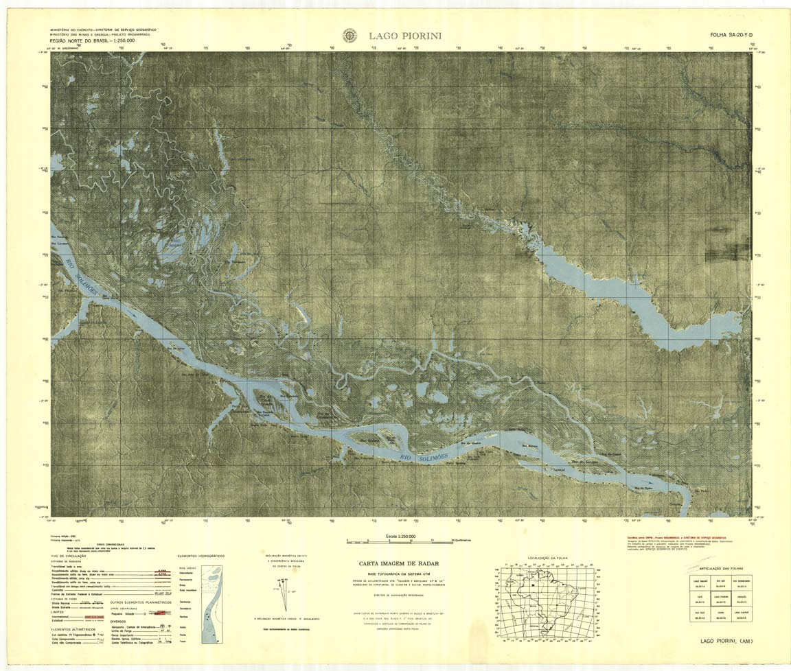
| 113 | SA-20-Y-D | LAGO PIORINI | DSG | Radar | jpg | tif | zip | |
| 114 | SA-20-Z-C | CODAJAS | IBGE | Top / Radar | jpg | tif | zip | |
| 115 | SA-20-Z-D | MANAUS | DSG | Top / Radar | jpg | tif | zip | |
| 116 | SA-21-Y-C | MANAUS-E | DSG | Top / Radar | jpg | tif | zip | |
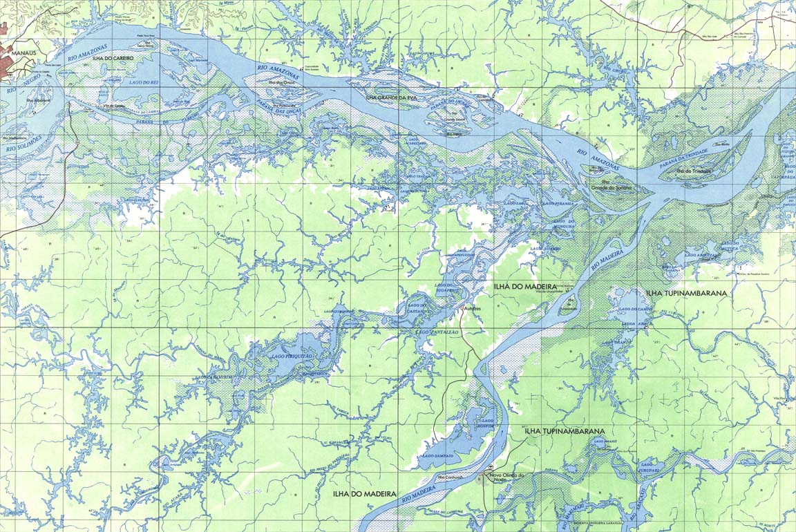
| 117 | SA-21-Y-D | ITAQUATIARA | DSG | Top / Radar | jpg | tif | zip | |
| 117(2) | SA-21-Y-D | ITAQUATIARA | jpg | tif | ||||
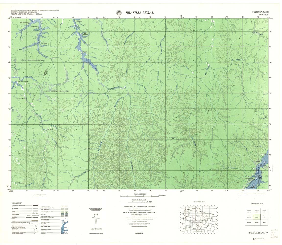
| 118-8bit | SA-21-Z-C | BRASILIA LEGAL | DSG | Top / Radar | jpg | tif | zip | |
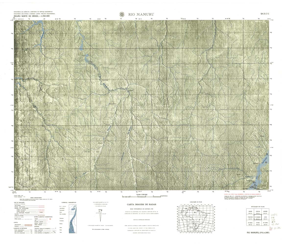
| 118rcol | SA-21-Z-C | RIO MAMURU | jpg | tif | zip | |||
| 119 | SA-21-Z-D | AVEIRO | DSG | Top / Radar | jpg | tif | zip | |
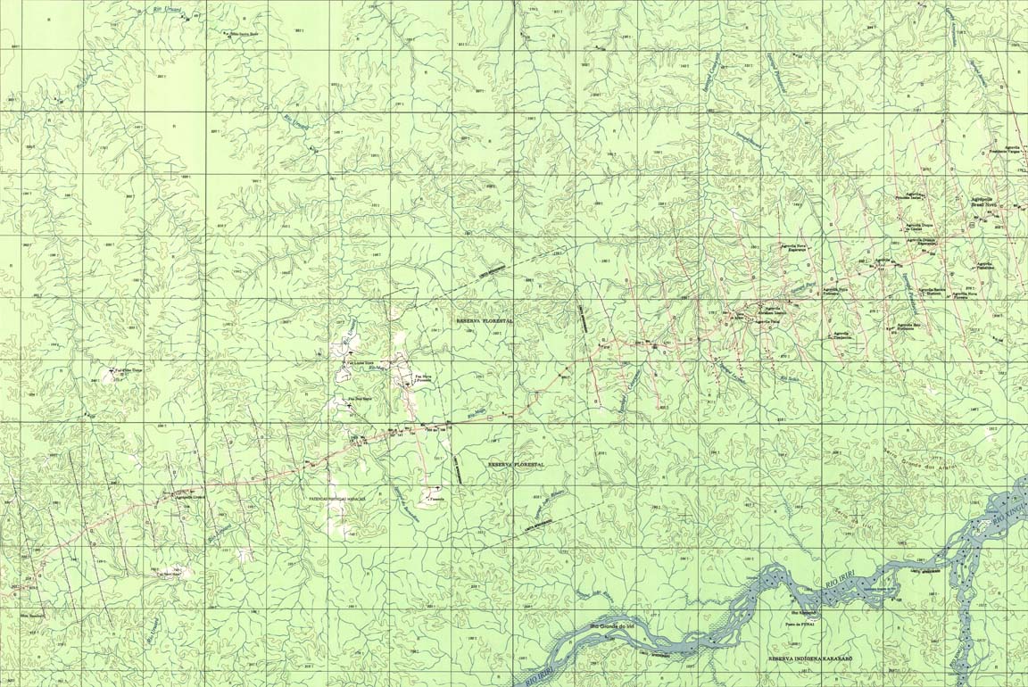
| 120 | SA-22-Y-C | AGROPOLIS BRASIL NOVO | DSG | Top / Radar | jpg | tif | zip | |
| 121 | SA-22-Y-D | ALTAMIRA | DSG | Top / Radar | jpg | tif | zip | |
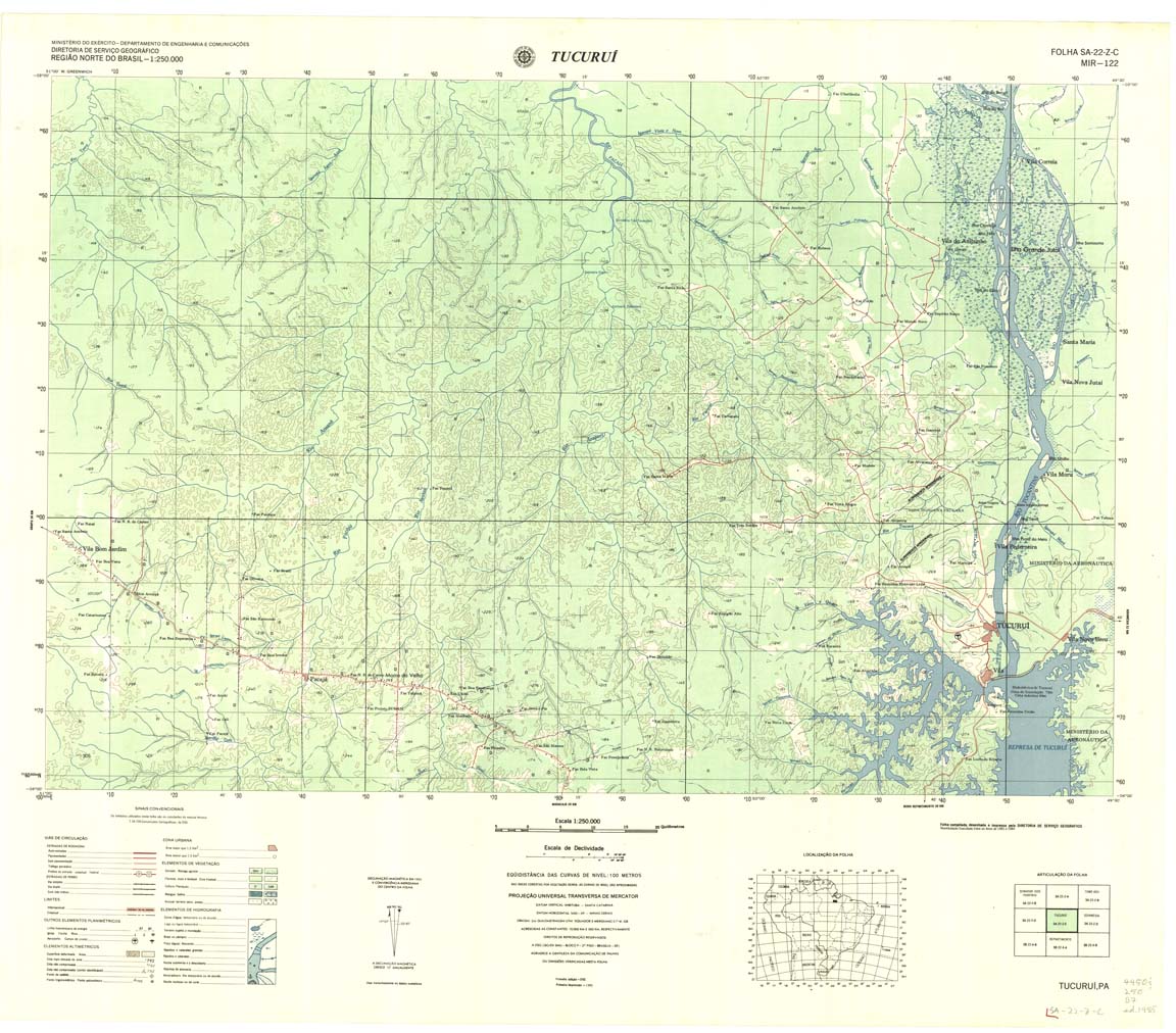
| 122 | SA-22-Z-C | TUCURUI | DSG | Top / Radar | jpg | tif | zip | |
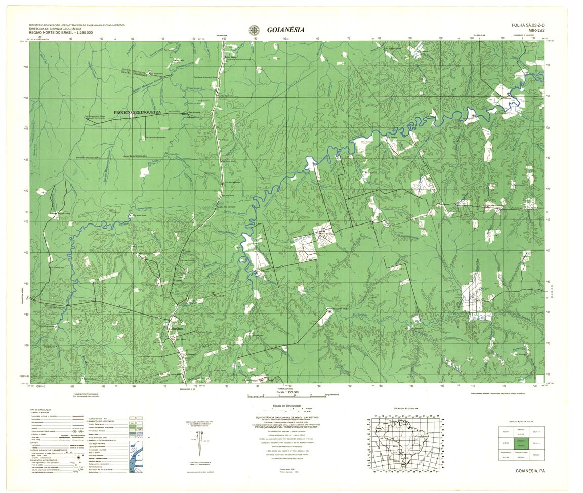
| 123 | SA-22-Z-D | GOIANESIA | DSG | Top / Radar | jpg | tif | zip | |
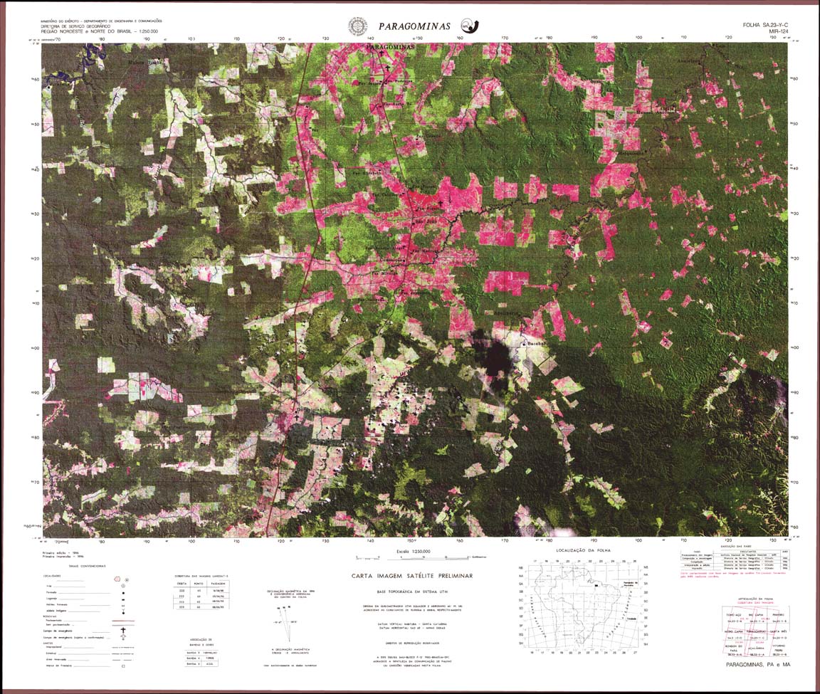
| 124 | SA-23-Y-C | PARAGOMINAS | jpg | tif | zip | |||
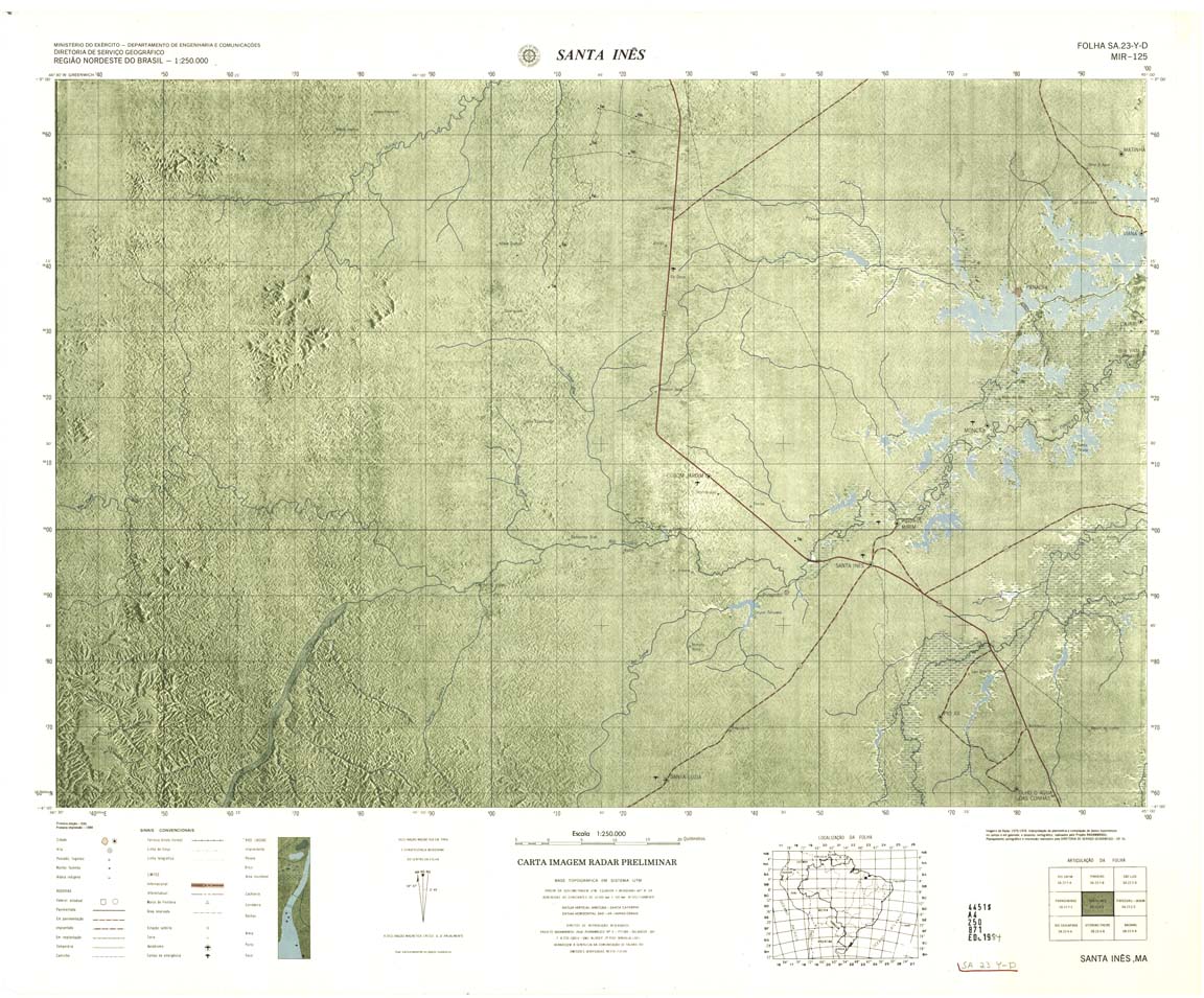
| 125 | SA-23-Y-D | SANTA INES | Radar | jpg | tif | zip | ||
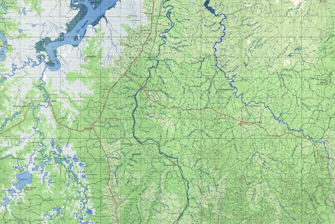
| 126 | SA-23-Z-C | ITAPECURU-MIRIM | IBGE | Top / Radar | jpg | tif | zip | |
| 127 | SA-23-Z-D | CHAPADINHA | DSG | Top / Radar | jpg | tif | zip | |
| 128 | SA-24-Y-C | Granja | 1980 | Radar | jpg | tif | zip | |
| 129 | SA-24-Y-D | SOBRAL | Radar | jpg | tif | zip | ||
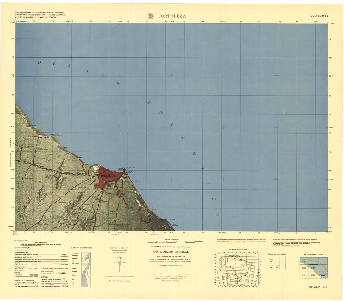
| 130 | SA-24-Z-C | FORTALEZA | Radar | jpg | tif | zip | ||
| 131 | SB-18-X-B | MEDIO JAVARI | DSG | Top / Radar | jpg | tif | zip | |
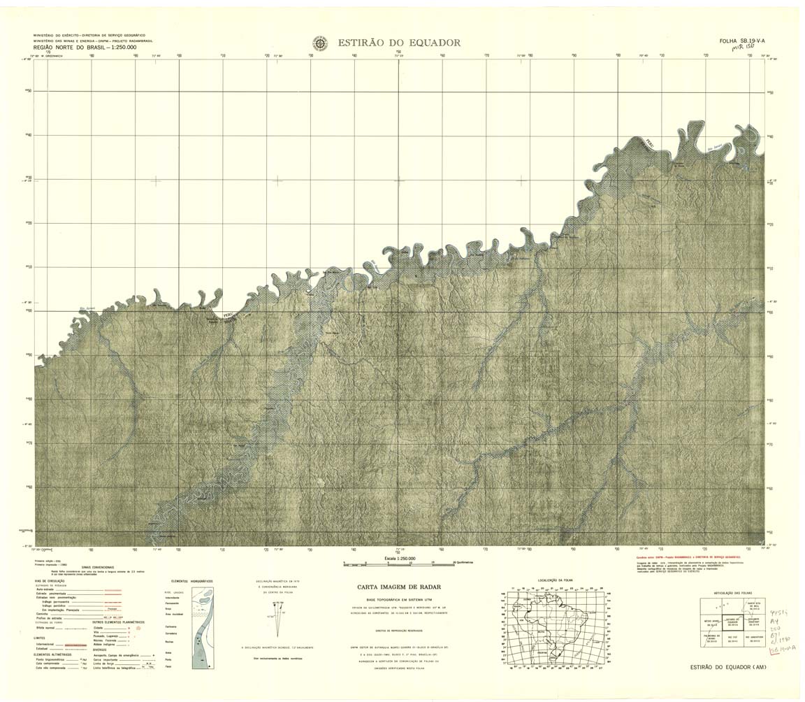
| 132 | SB-19-V-A | ESTIRO DO EQUADOR | DSG | Top / Radar | jpg | tif | zip | |
| 134 | SB-19-X-A | RIO JUTAI | Radar | jpg | tif | zip | ||
| 135 | SB-19-X-B | CARAUARI | Radar | jpg | tif | zip | ||
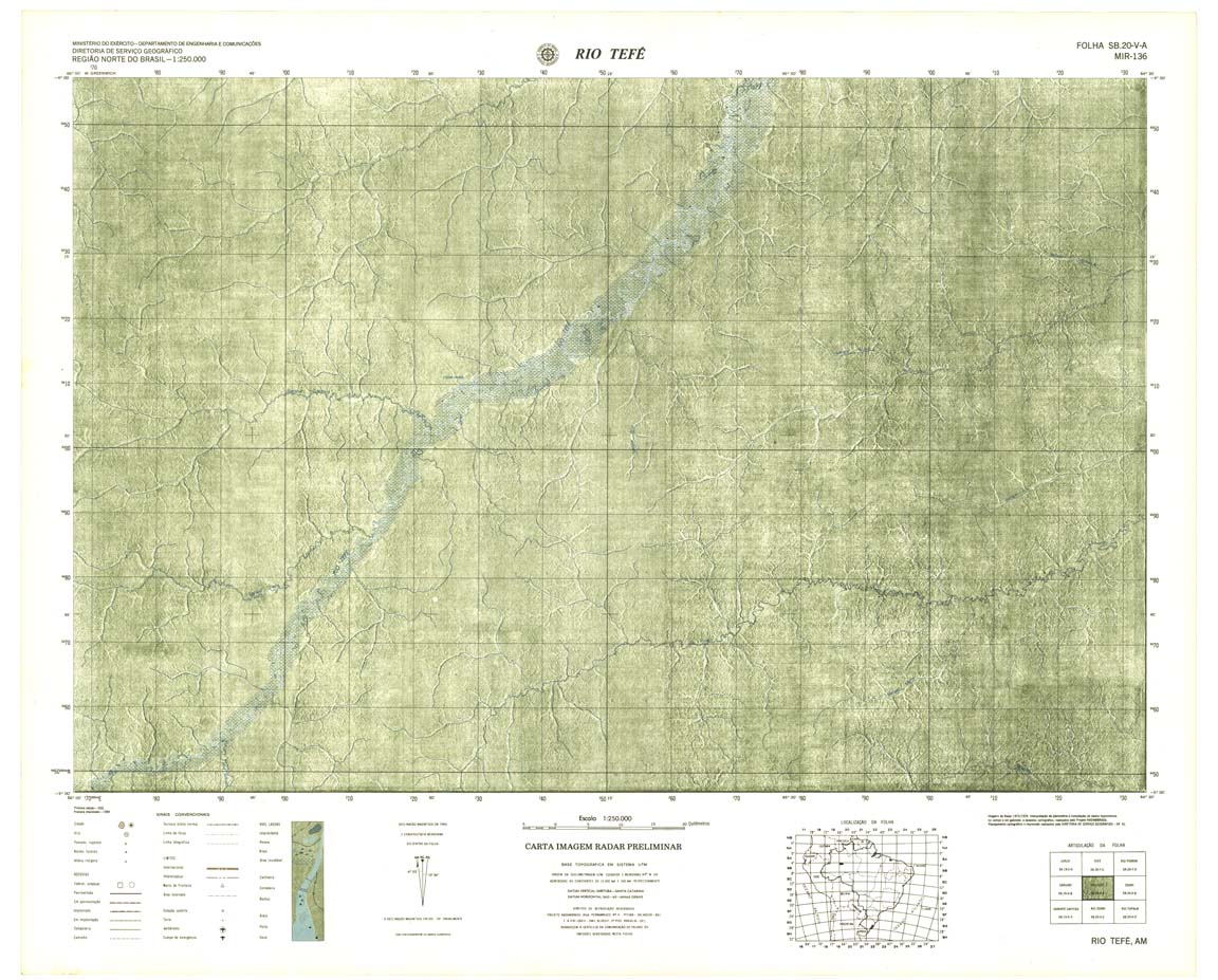
| 136 | SB-20-V-A | RIOTEFÉ | Radar | jpg | tif | zip | ||
| 137 | SB-20-V-B | COARI | Top / Radar | jpg | tif | zip | ||
| 137A | SB-20-V-B | COARI | jpg | tif | ||||
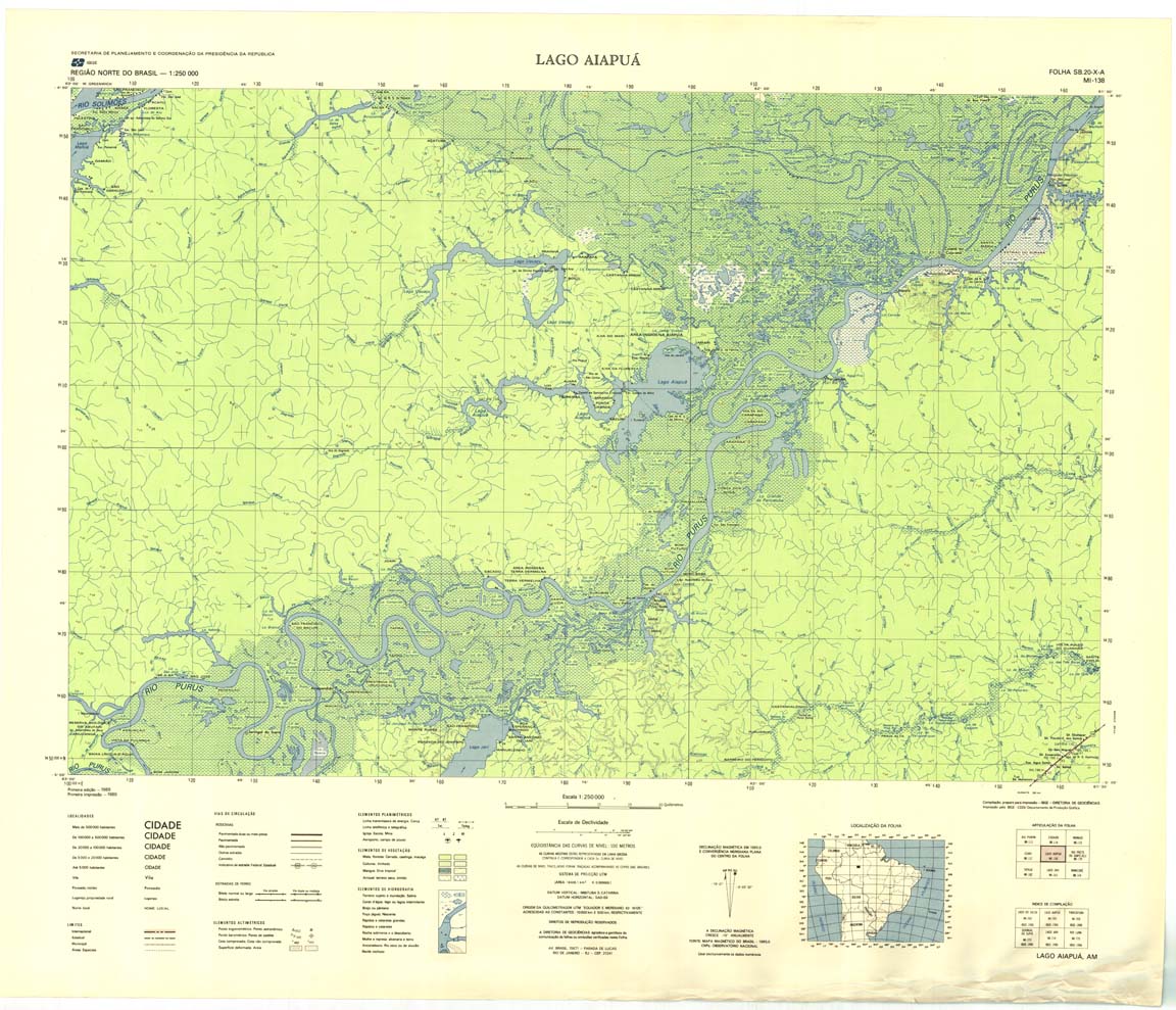
| 138 | SB-20-X-A | LAGOA AIAPUA | IBGE | Top / Radar | jpg | tif | zip | |
| 139 | SB-20-X-B | RIO PRETO DO IGAPO-ACU | IBGE | Top / Radar | jpg | tif | zip | |
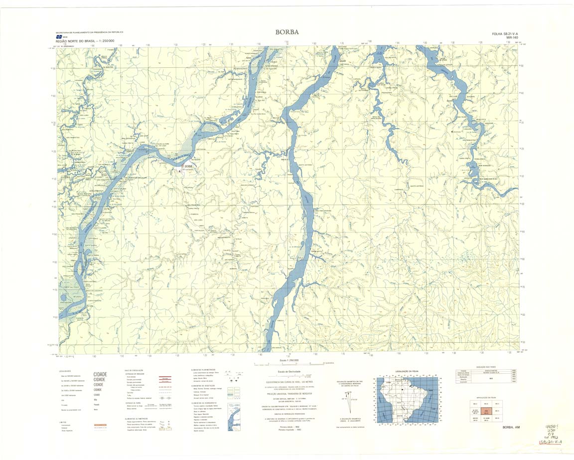
| 140 | SB-21-V-A | BORBA | IBGE | Top / Radar | jpg | tif | zip | |
| 141 | SB-21-V-B | INAJA | DSG | Top / Radar | jpg | tif | zip | |
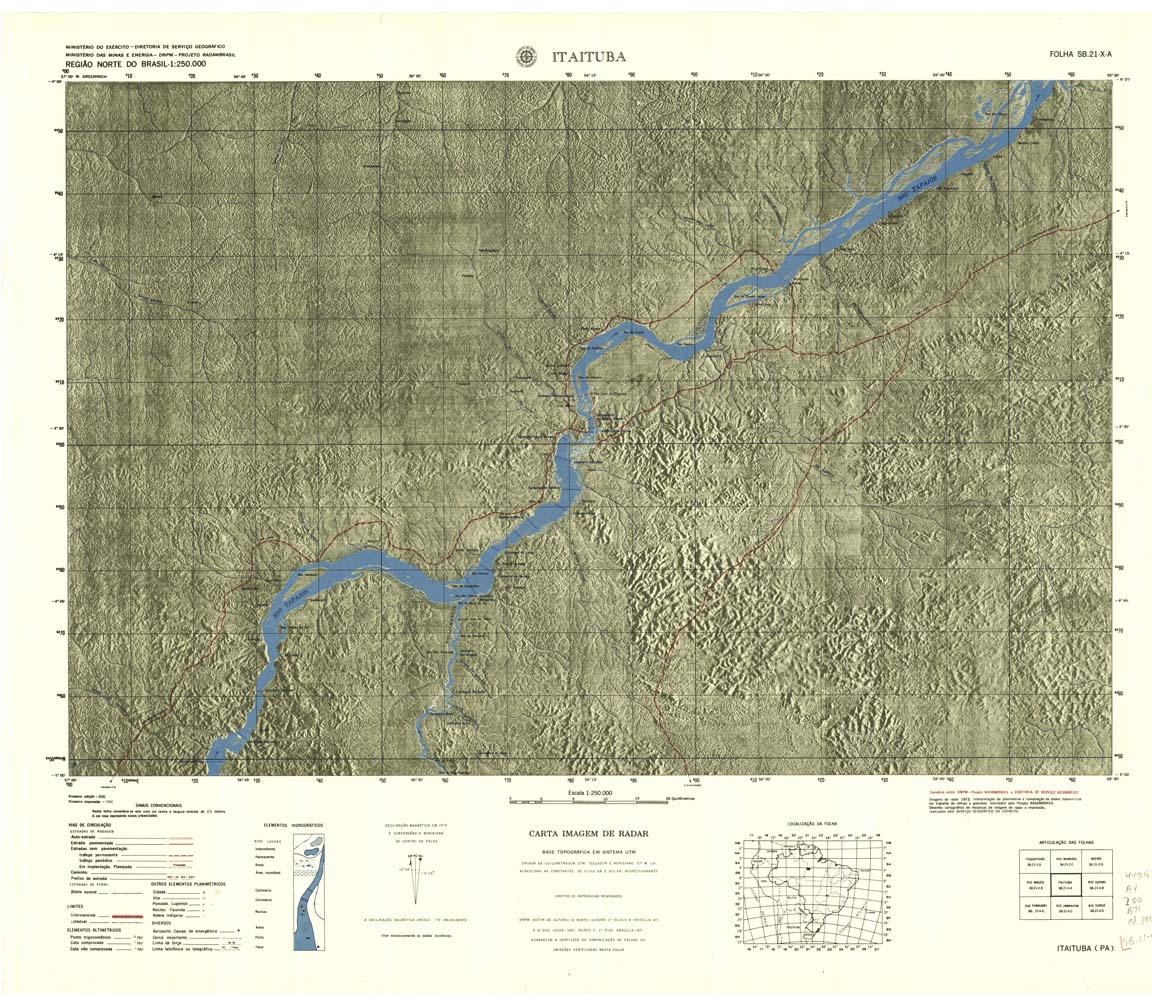
| 142 | SB-21-X-A | ITAITUBA | DSG | Top / Radar | jpg | tif | zip | |
| 143 | SB-21-X-B | AGROVILA PRESIDENTE MEDICI | IBGE | Top / Radar | jpg | tif | zip | |
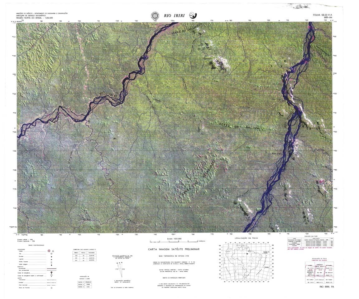
| 144 | SB-22-V-A | RIO IRIRI | jpg | tif | zip | |||
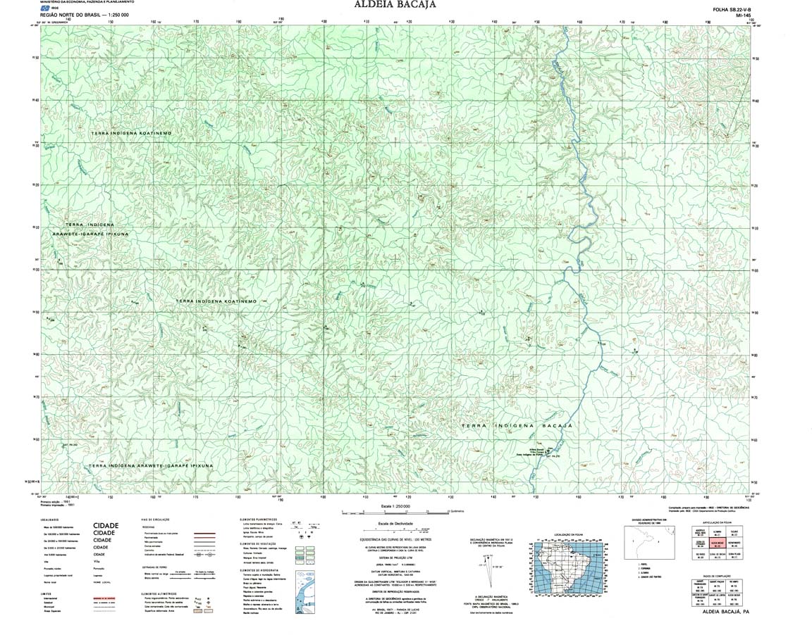
| 145 | MI-145 | ALDEIA BACAJA | Top / Programada / Radar | jpg | tif | zip | ||
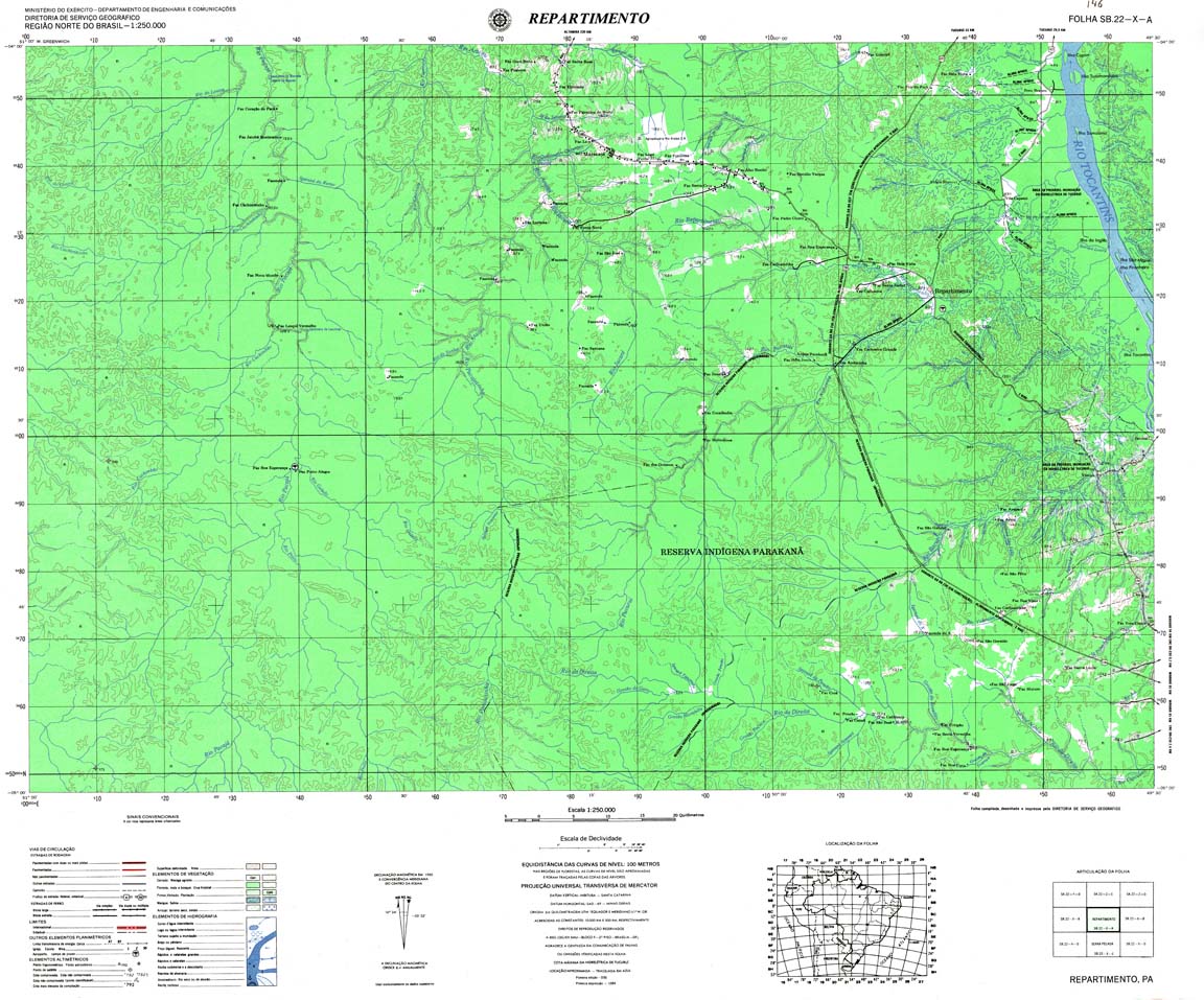
| 146 | SB-22-X-A | REPARTIMENTO | DSG | Top / Radar | jpg | tif | zip | |
| 147 | SB-22-X-B | RONDON DO PARA | DSG | Top / Radar | jpg | tif | zip | |
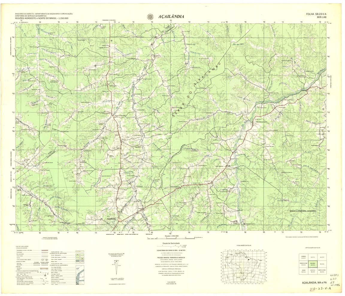
| 148 | SB-23-V-A | ACAILANDIA | DSG | Top / Radar | jpg | tif | zip | |
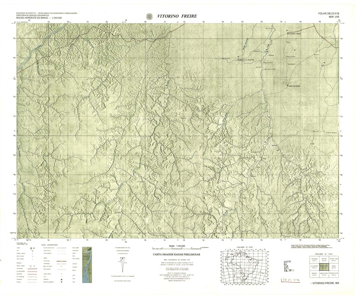
| 149 | SB-23-V-B | VITORINO FREIRE | DSG | Top / Radar | jpg | tif | zip | |
| 149(2) | SB-23-V-B | VITORINO FREIRE | jpg | tif | ||||
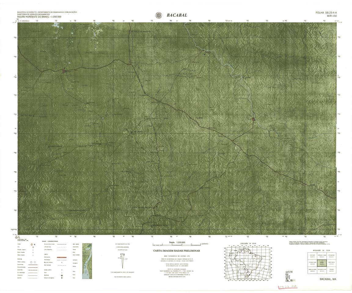
| 150 | SB-23-X-A | BACABAL | jpg | tif | zip | |||
| 150(2) | SB-23-X-A | BACABAL | Top / Radar | jpg | tif | |||
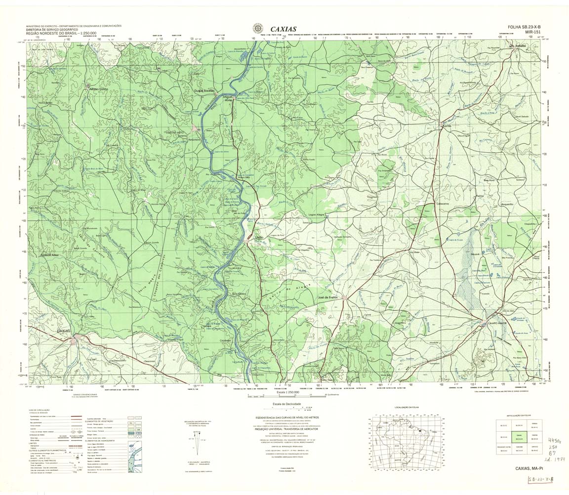
| 151 | SB-23-X-B | CAXIAS | DSG | Top / Radar | jpg | tif | zip | |
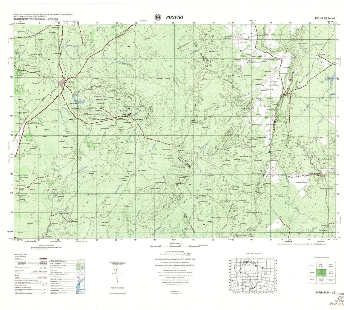
| 152-8bit | SB-24-V-A | Piripiri | 1982 | Top / Radar | jpg | tif | zip | |
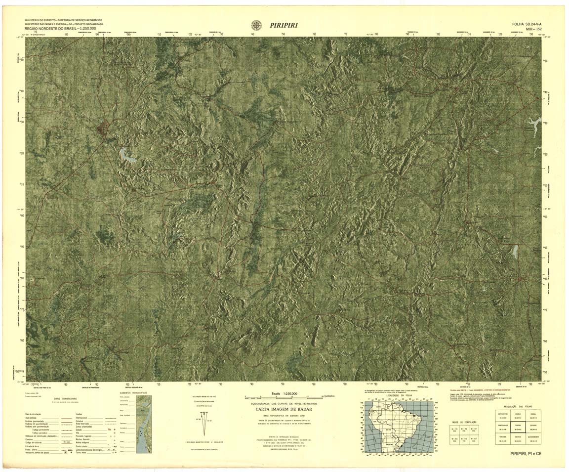
| 152-rcol | SB-24-V-A | Piripiri | jpg | tif | zip | |||
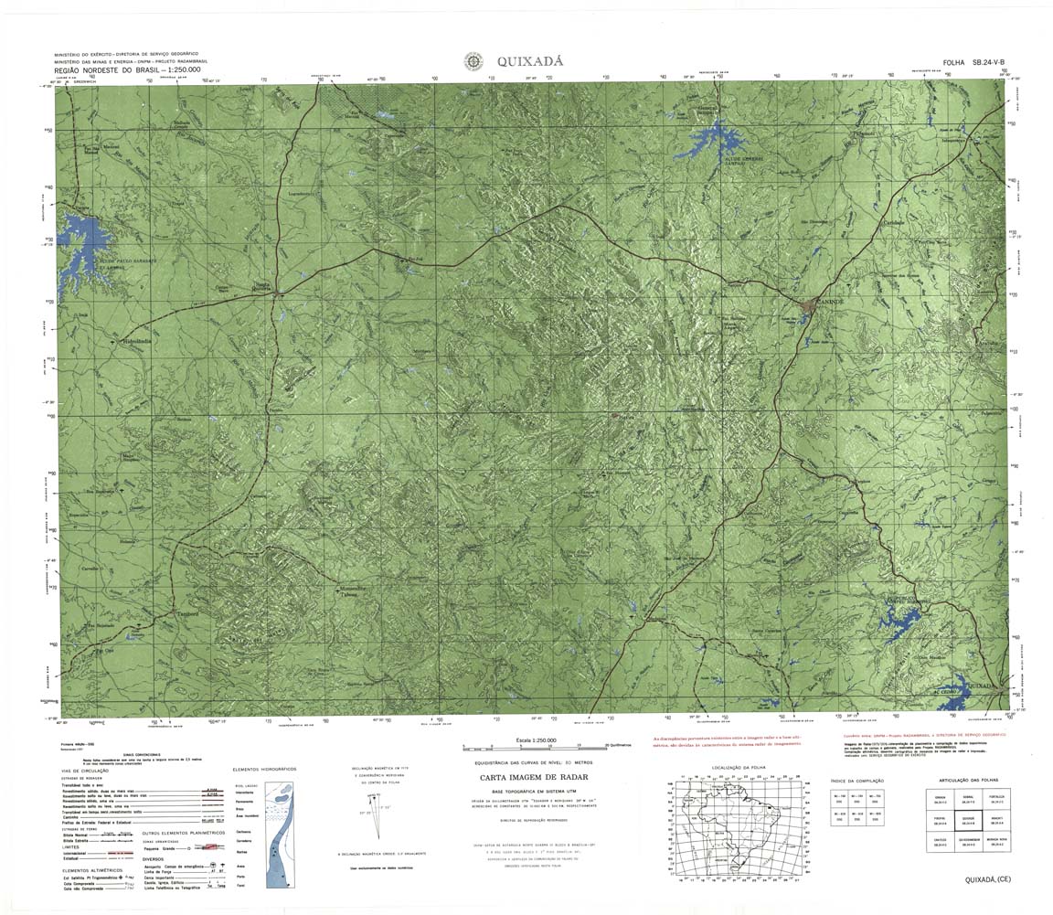
| 153 | SB-24-V-B | QUIXADA | jpg | tif | zip | |||
| 154 | SB-24-X-A | ARACATI | jpg | tif | zip | |||
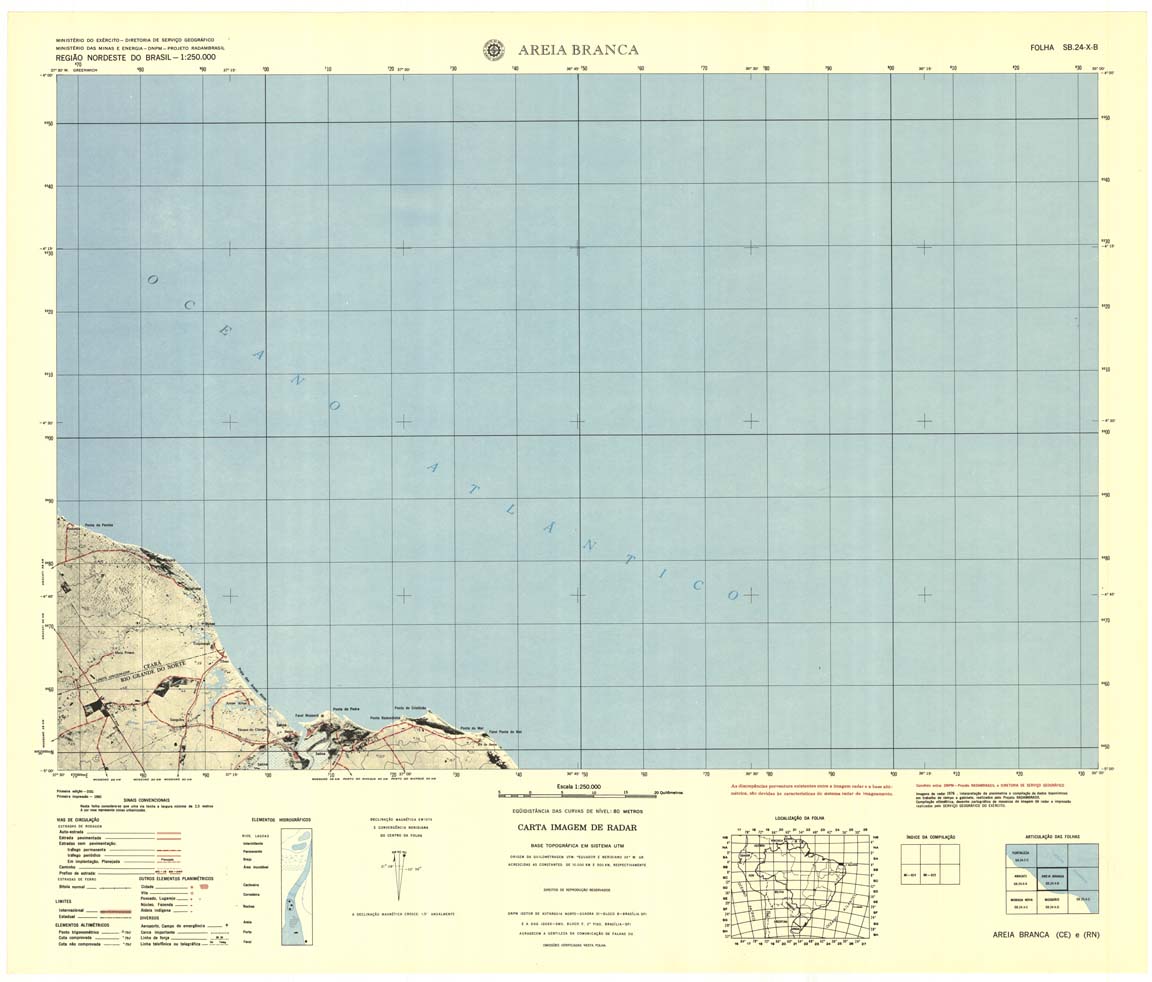
| 155 | SB-24-X-B | AREIA BRANCA | jpg | tif | zip | |||
| 156 | SB-18-X-D | PALMEIRA DO JAVALI | 1983 | Radar | jpg | tif | zip | |
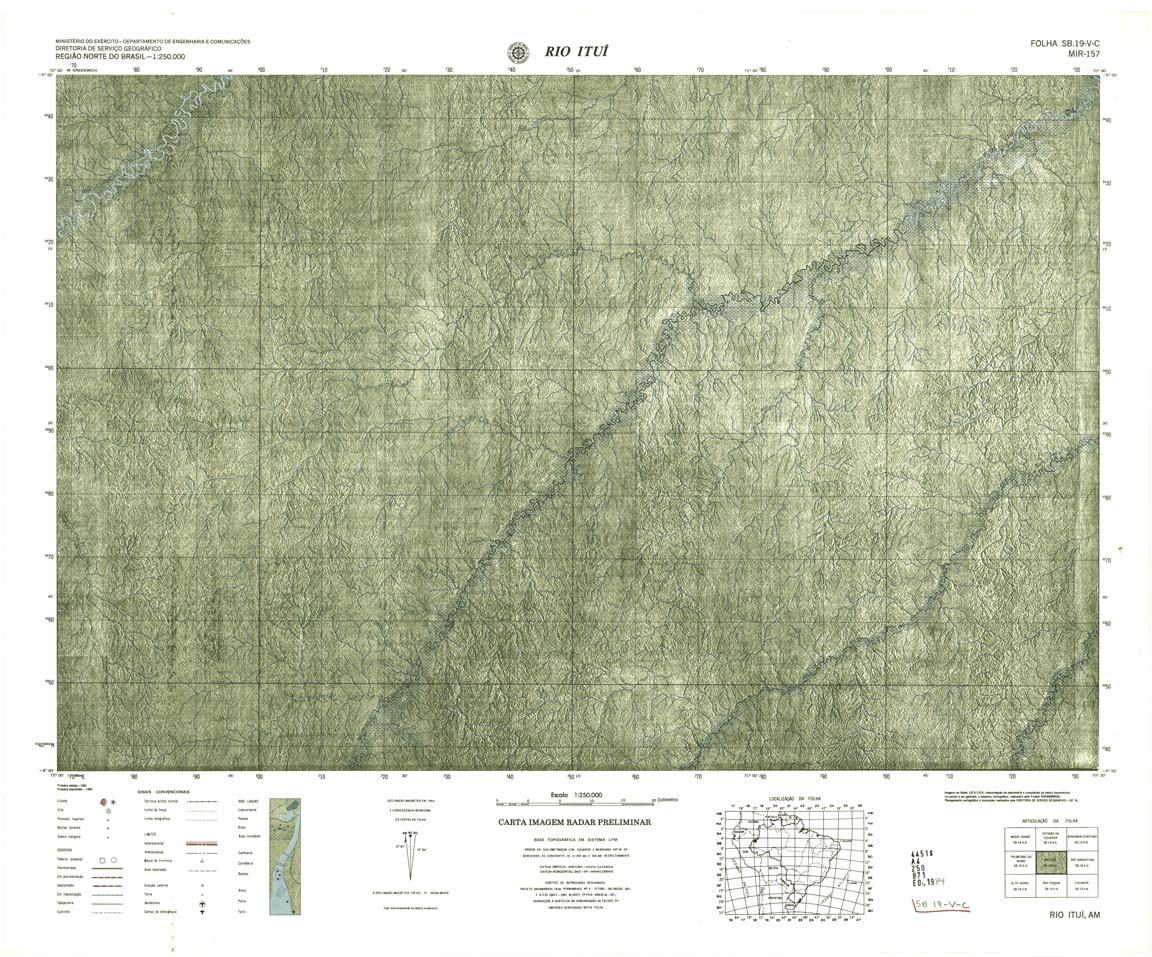
| 157 | SB-19-V-C | RIO ITUI | Radar | jpg | tif | zip | ||
| 158 | SB-19-V-D | RIO JADIATUBA | Radar | jpg | tif | zip | ||
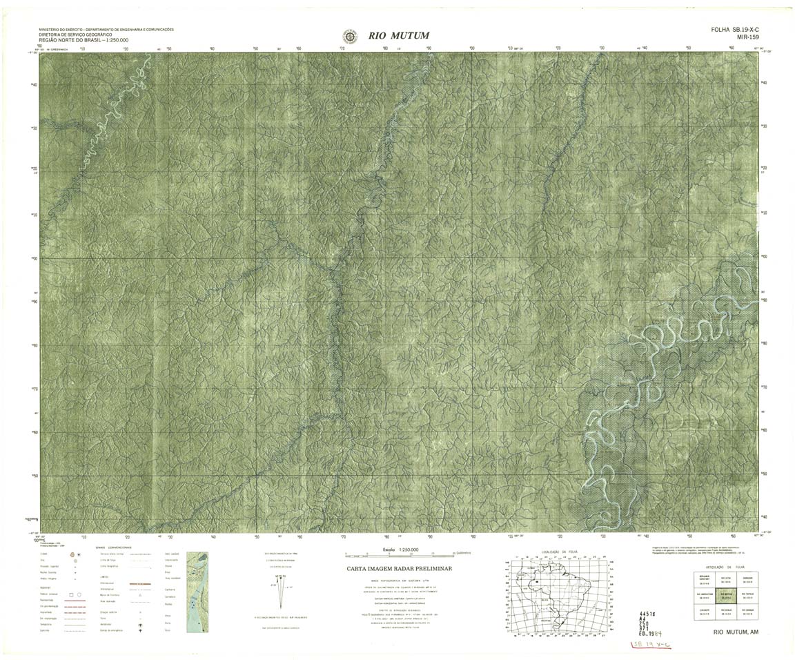
| 159 | SB-19-X-C | RIO MUTUM | Radar | jpg | tif | zip | ||
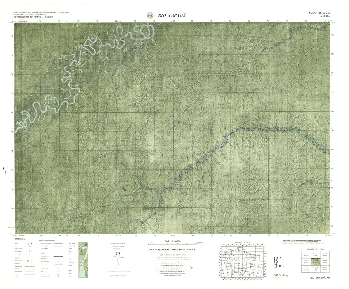
| 160 | SB-19-X-D | RIO TAPAUA | Radar | jpg | tif | zip | ||
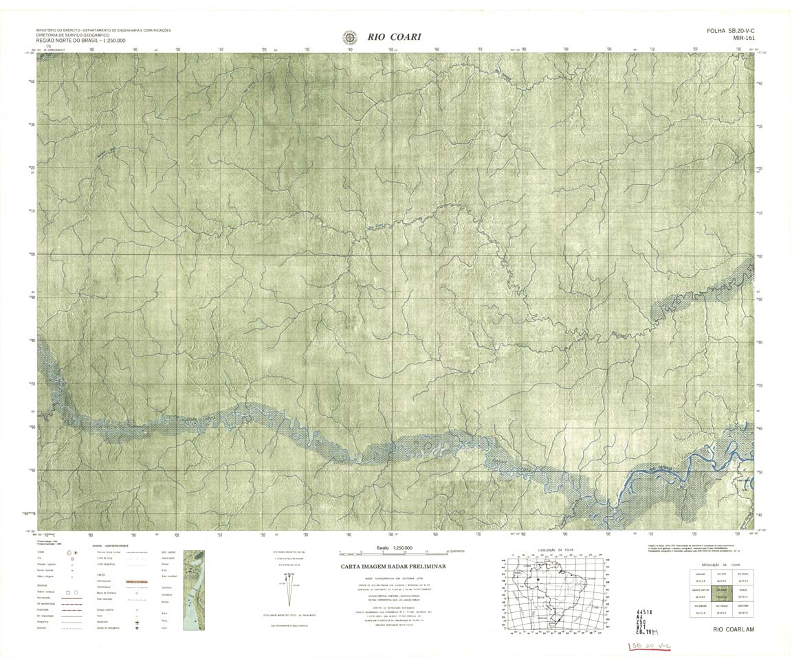
| 161 | SB-20-V-C | RIO COARI | Radar | jpg | tif | zip | ||
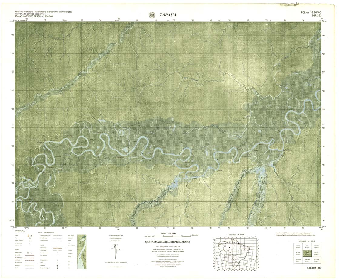
| 162 | SB-20-V-D | TAPAUA | Radar | jpg | tif | zip | ||
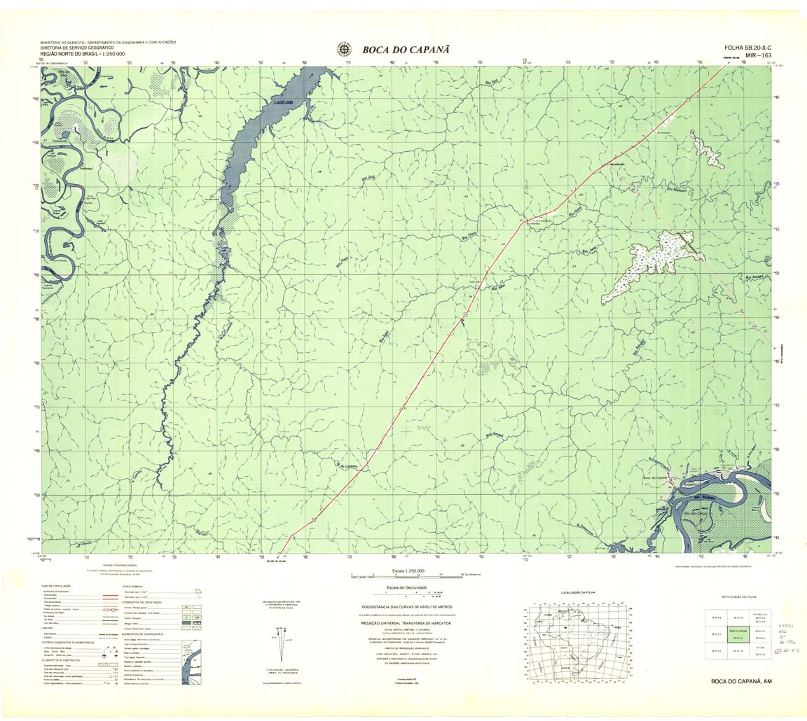
| 163 | SB-20-X-C | BOCA DO CAPANA | DSG | Top / Radar | jpg | tif | zip | |
| 164 | SB-20-X-D | MANICORE | IBGE | Top / Radar | jpg | tif | zip | |
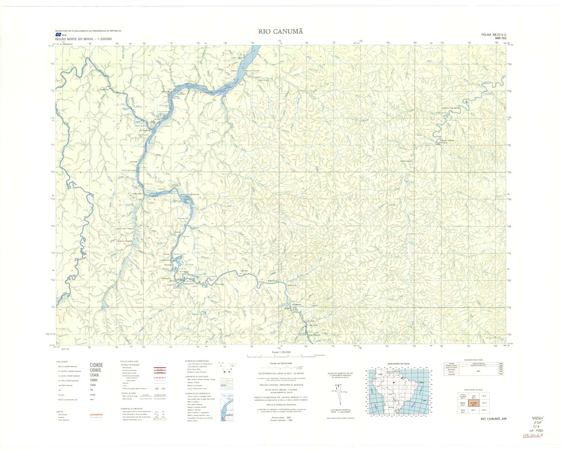
| 165 | SB-21-V-C | RIO CANUMA | IBGE | Top / Radar | jpg | tif | zip | |
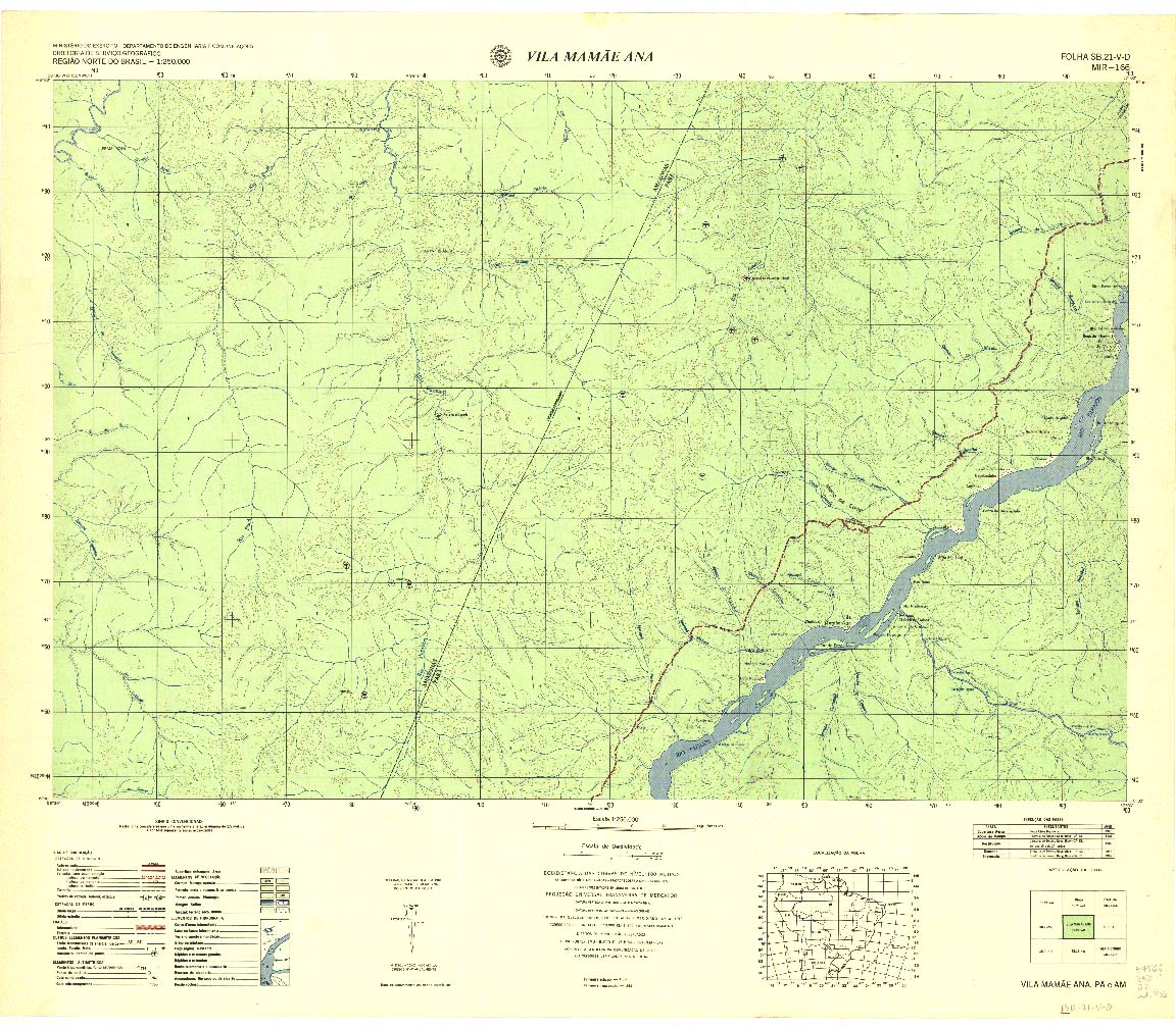
| 166 | SB-21-V-D | VILA MAMAE ANA | DSG | Top / Radar | jpg | tif | zip | |
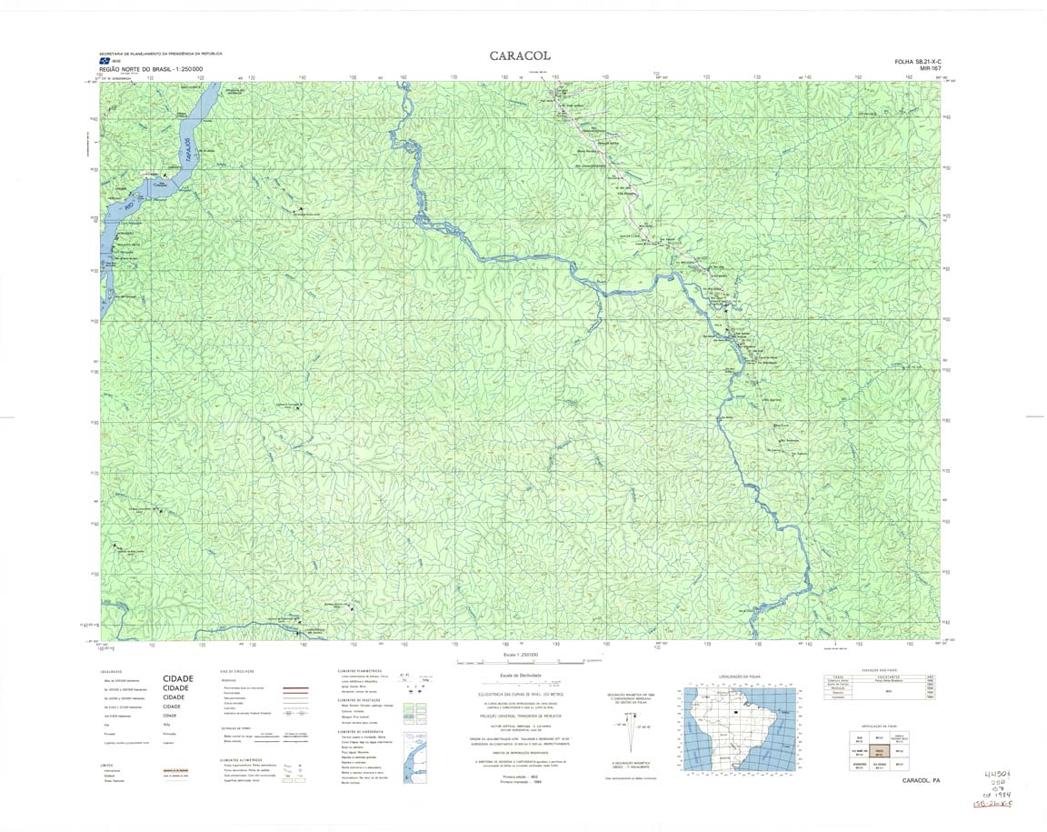
| 167 | SB-21-X-C | CARACOL | IBGE | Top / Radar | jpg | tif | zip | |
| 168 | MR-168 | ENTRE RIOS | Top / Programada / Radar | jpg | tif | zip | ||
| 169 | SB-22-V-C | RIO PARDO | IBGE | Top / Radar | jpg | tif | zip | |
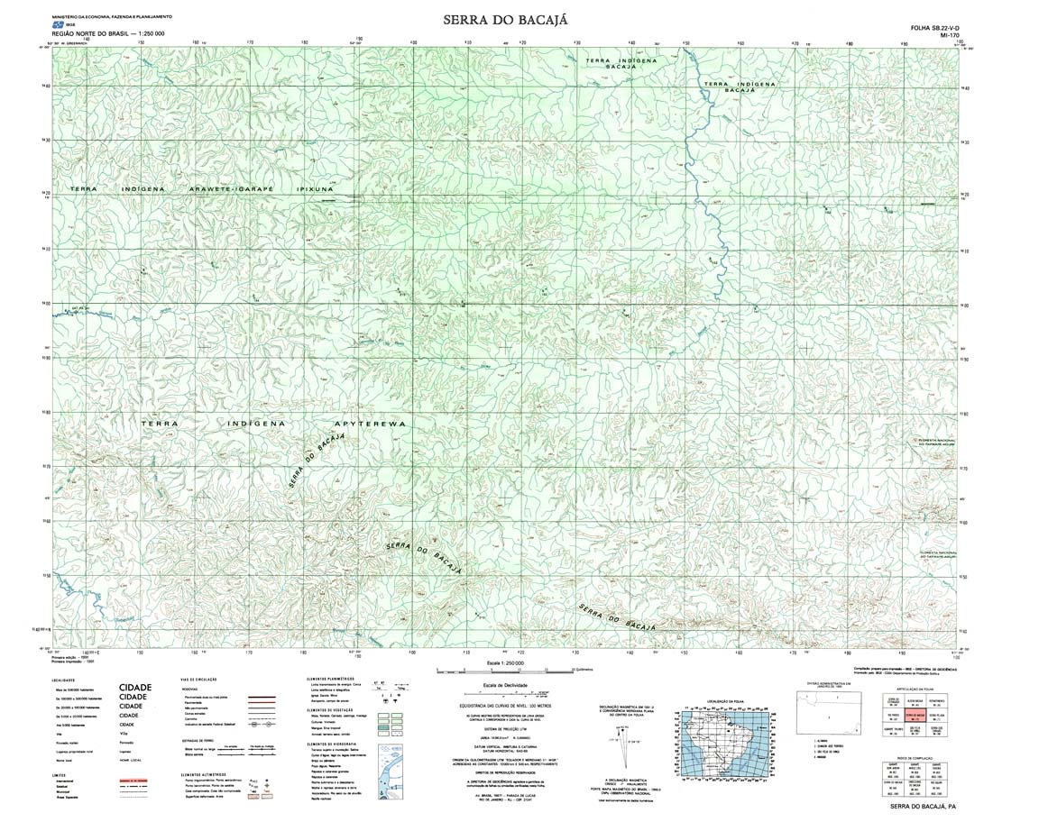
| 170 | MI-170 | SERRA DO BACAJÁ | Top / Programada / Radar | jpg | tif | zip | ||
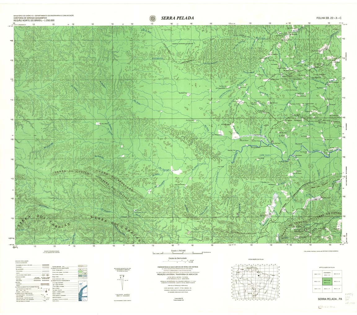
| 171 | SB-22-X-C | SERRA PELADA | DSG | Top / Radar | jpg | tif | zip | |
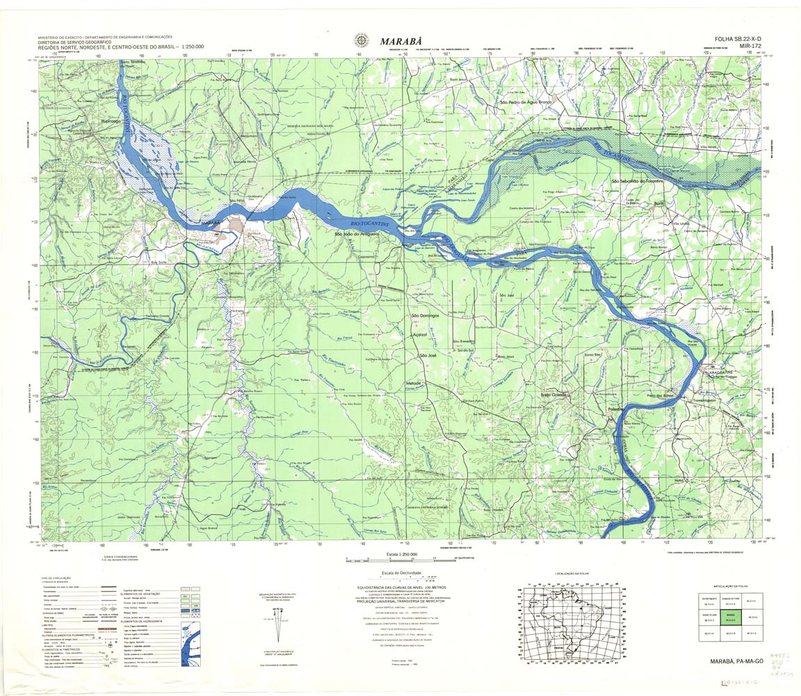
| 172 | SB-22-X-D | MARABA | DSG | Top / Radar | jpg | tif | zip | |
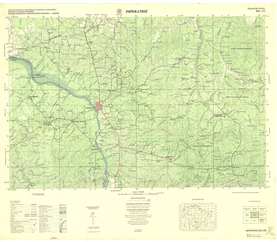
| 173 | SB-23-V-D | IMPERATRICE | Top | jpg | tif | zip | ||
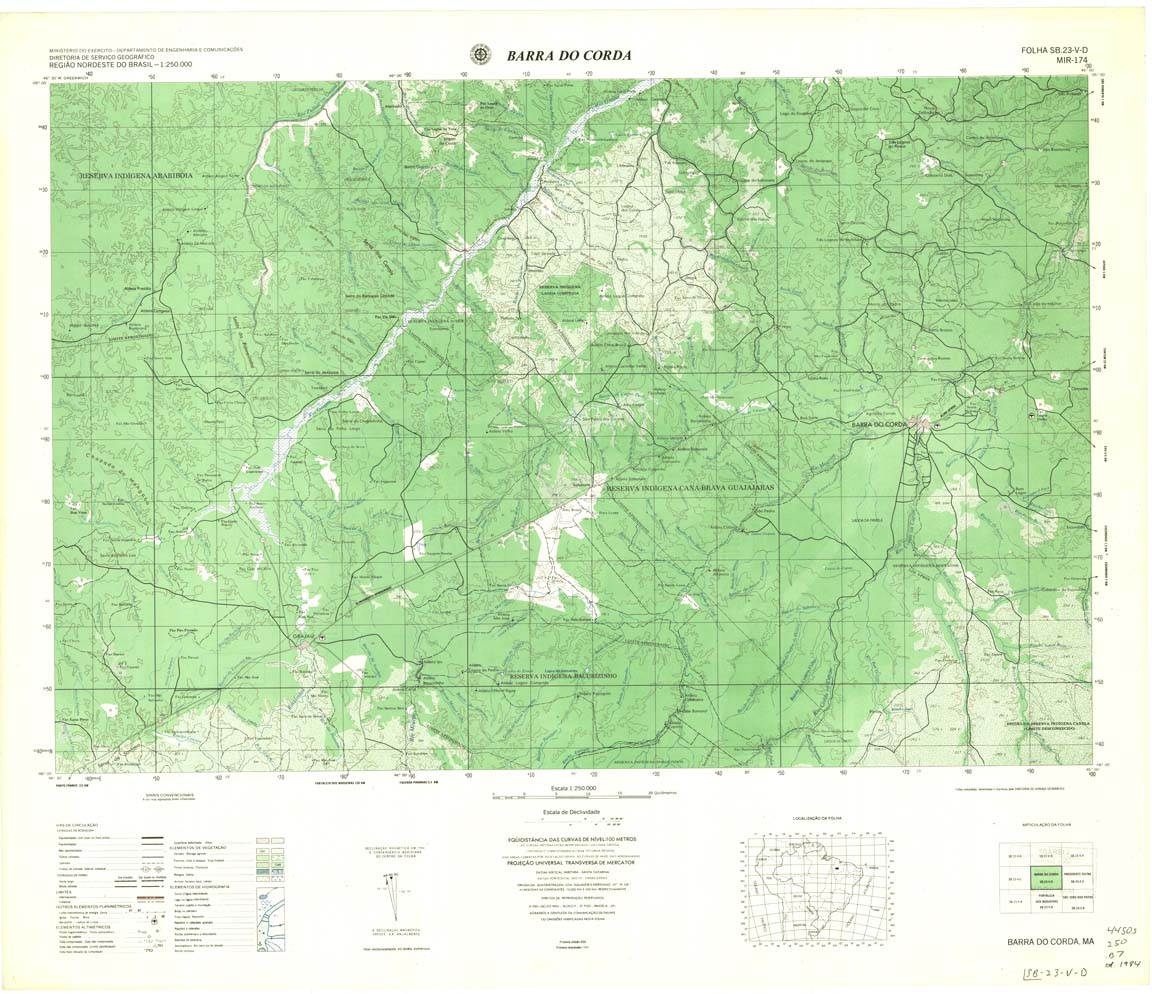
| 174 | SB-23-V-D | BARRA DO CORDA | DSG | Top / Radar | jpg | tif | zip | |
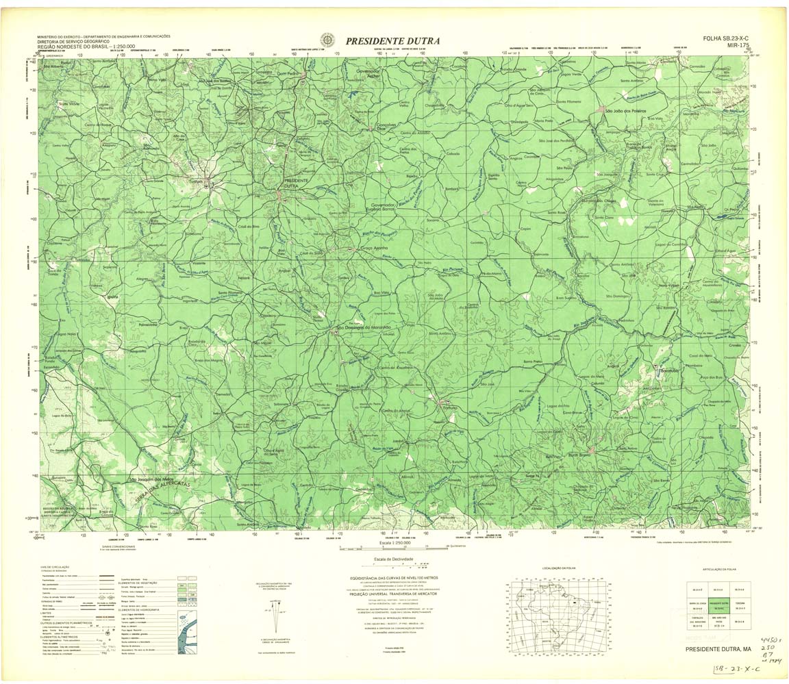
| 175 | SB-23-X-C | PRESIDENTE DUTRA | DSG | Top / Radar | jpg | tif | zip | |
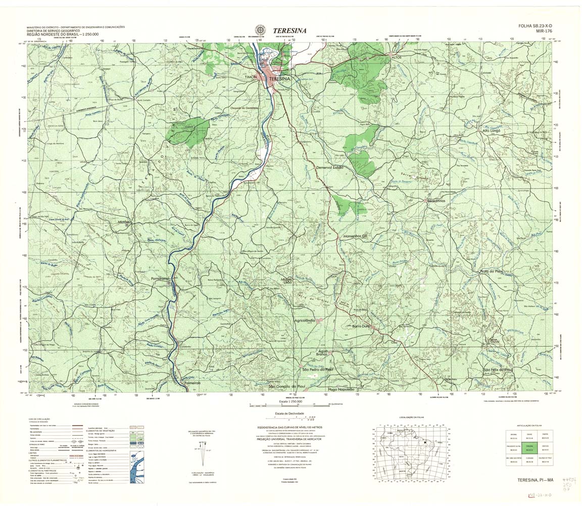
| 176 | SB-23-X-D | TEREZINA | DSG | Top / Radar | jpg | tif | zip | |
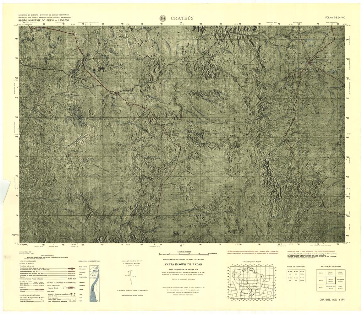
| 177 | SB-24-V-C | CRATEUS | jpg | tif | zip | |||
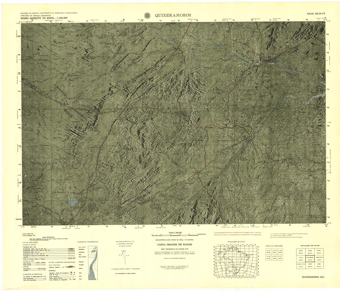
| 178 | SB-24-VD | QUIXERAMOBIM | Radar | jpg | tif | zip | ||
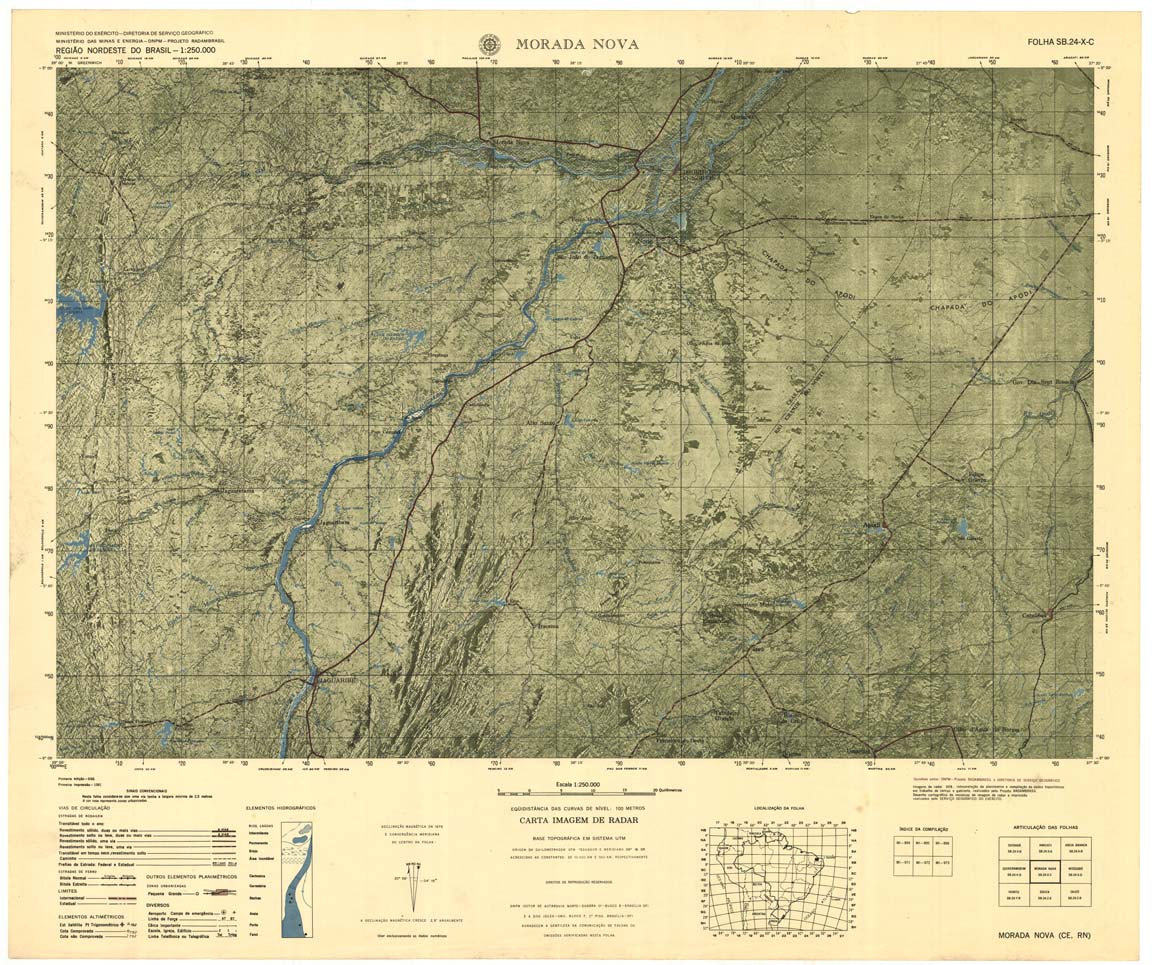
| 179 | SB-24-X-C | MORADA NOVA | jpg | tif | zip | |||
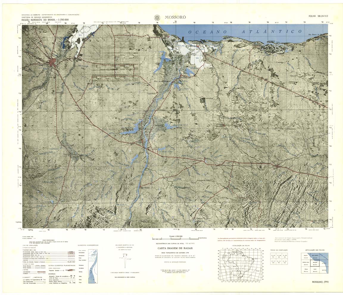
| 180 | SB-24-X-D | MOSSORO | jpg | tif | zip | |||
| 181cr | NONAME | NONAME | jpg | tif | zip | |||
| 182 | SB-18-Z-A | RIO JAQUIRANA | jpg | tif | zip | |||
| 183 | SB-18-Z-B | RIO ARROIO | Top / Radar | jpg | tif | zip | ||
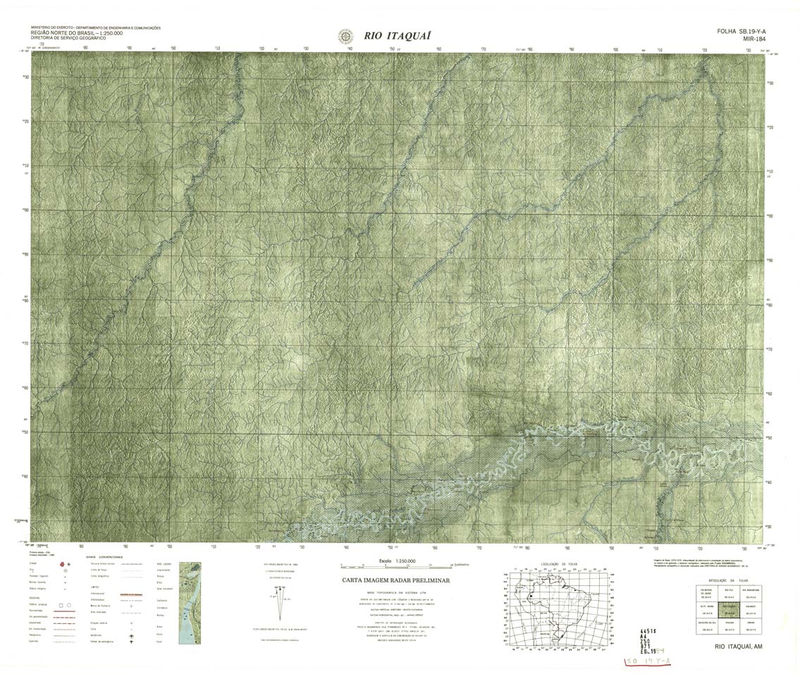
| 184 | SB-19-Y-A | RIO ITAQUAI | DSG | Top / Radar | jpg | tif | zip | |
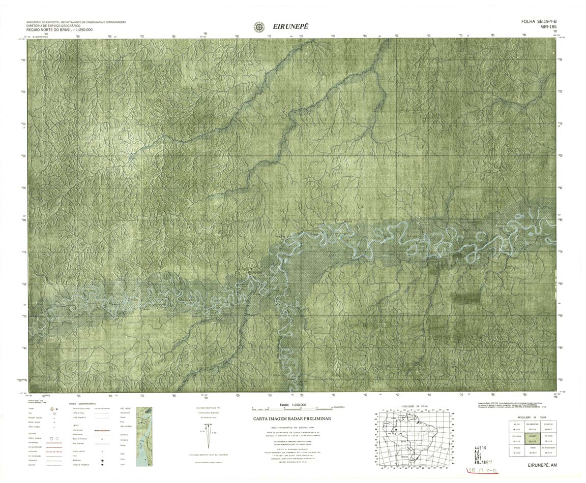
| 185 | SB-19-Y-B | EIRUNEPE | Radar | jpg | tif | zip | ||
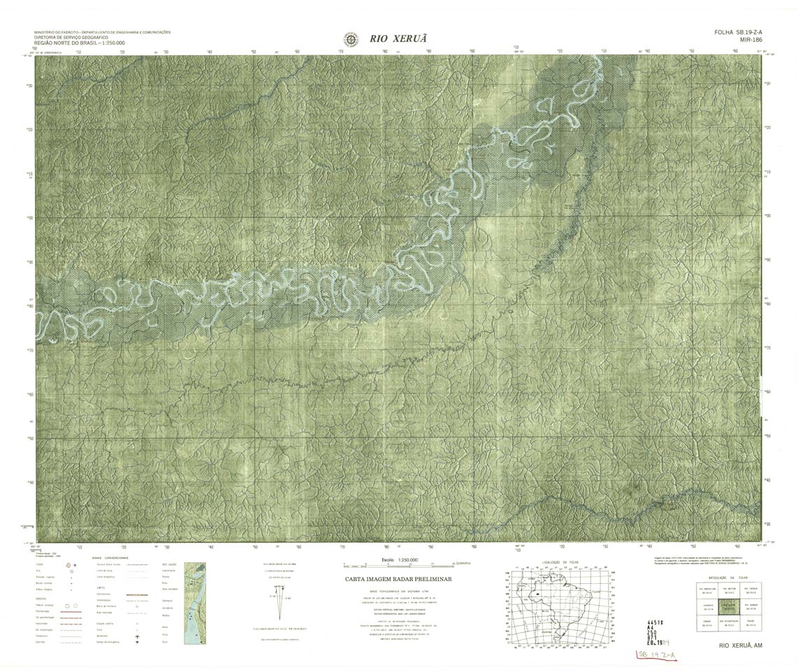
| 186 | SB-19-Z-A | RIO XERUA | Radar | jpg | tif | zip | ||
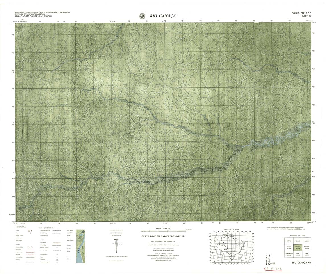
| 187 | SB-19-Z-B | RIO CANACA | jpg | tif | zip | |||
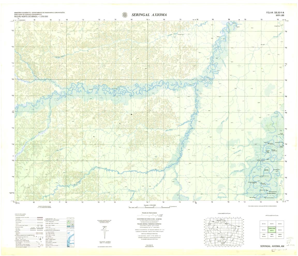
| 188 | SB-20-Y-A | SERINGAL AXIOMA | DSG | Top / Radar | jpg | tif | zip | |
| 189 | SB-20-Y-B | CANUTAMA | Radar | jpg | tif | zip | ||
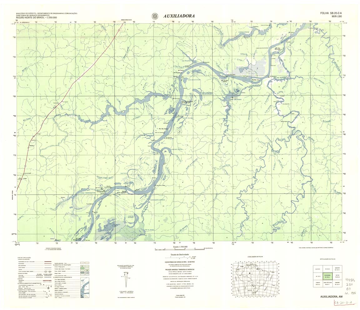
| 190 | SB-20-Z-A | AUXILIADORA | DSG | Top / Radar | jpg | tif | zip | |
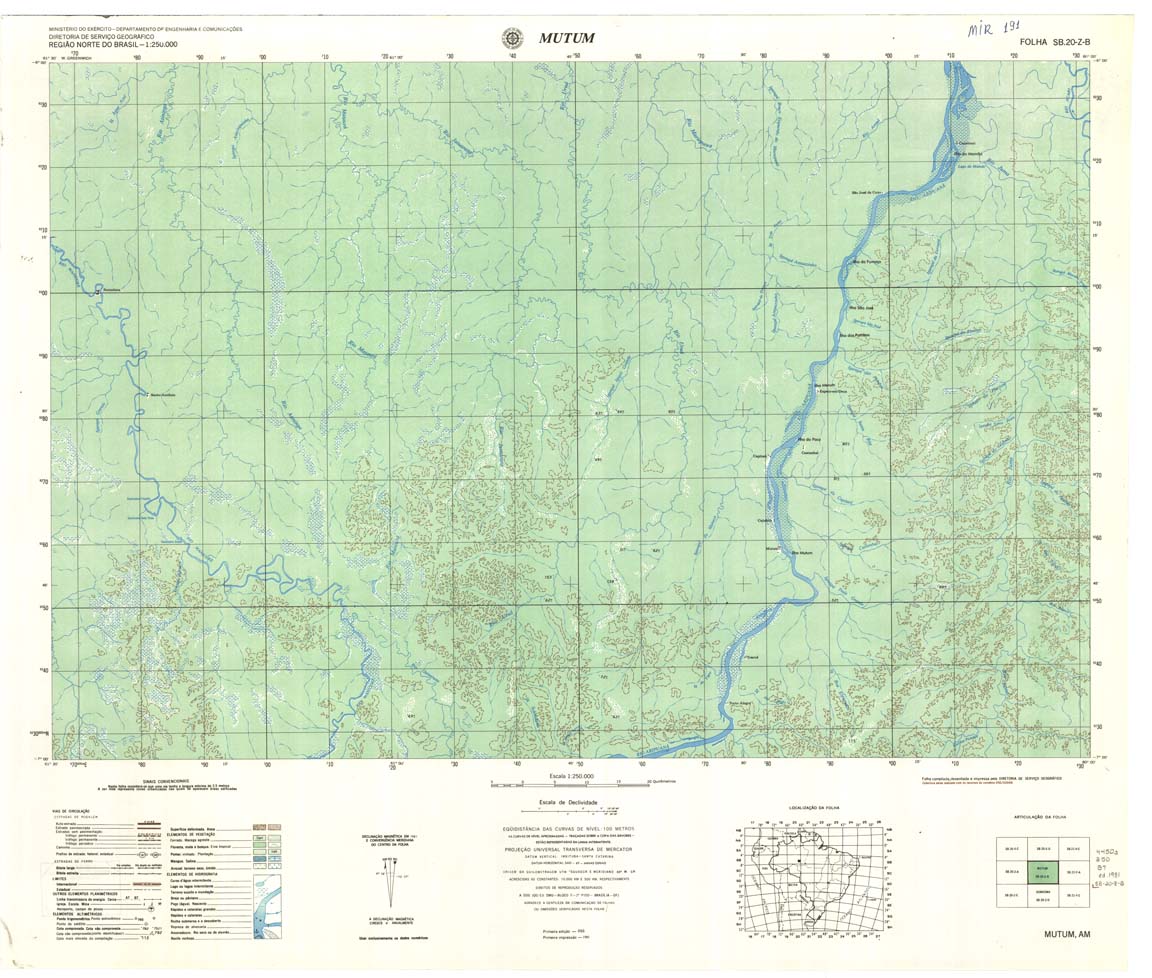
| 191 | SB-20-Z-B | MUTUM | DSG | Top / Radar | jpg | tif | zip | |
| 192 | SB-21-Y-A | VILA PORTO FRANCO | DSG | Top / Radar | jpg | tif | zip | |
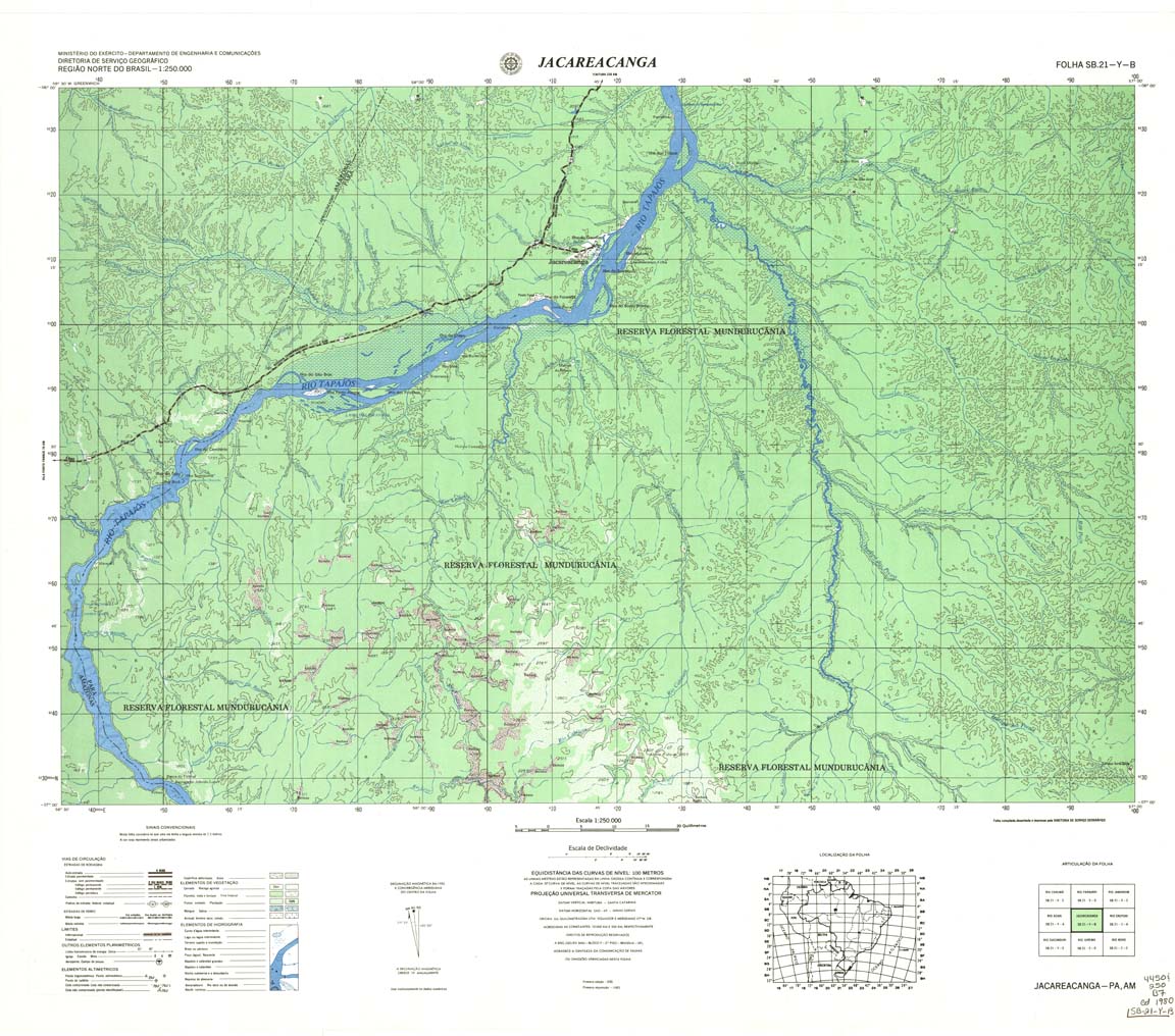
| 193 | SB-21-Y-B | JACAREACANGA | DSG | Top / Radar | jpg | tif | zip | |
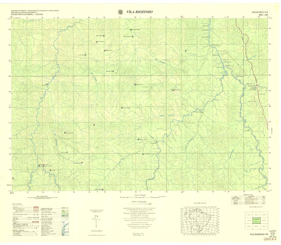
| 194 | SB-21-Z-A | VILA RIOZINHO | DSG | Top / Radar | jpg | tif | zip | |
| 195 | SB-21-Z-B | RIO CURUA | IBGE | Top / Radar | jpg | tif | zip | |
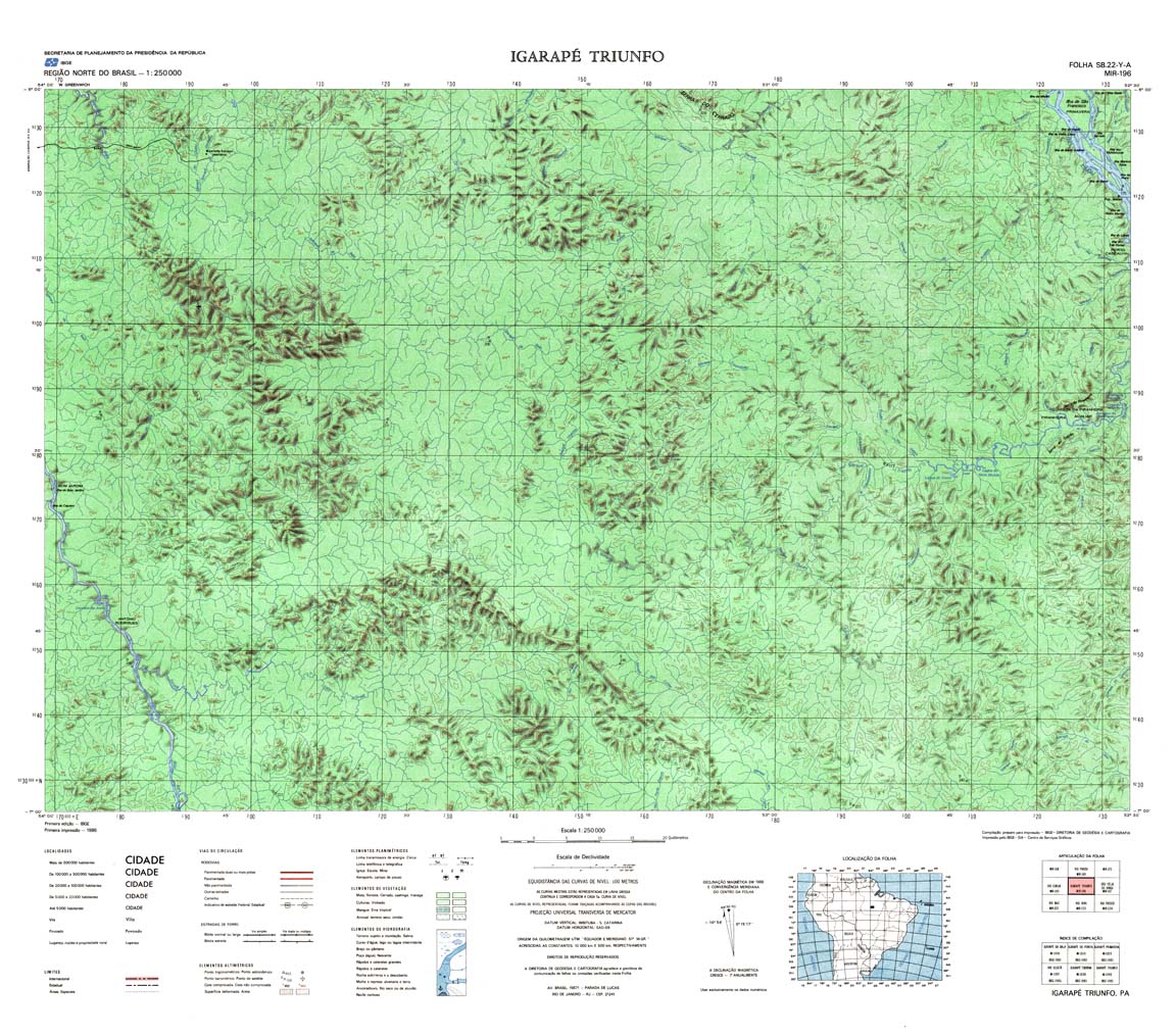
| 196 | SB-22-Y-A | IGARAPE TRIUNFO | IBGE | Top / Radar | jpg | tif | zip | |
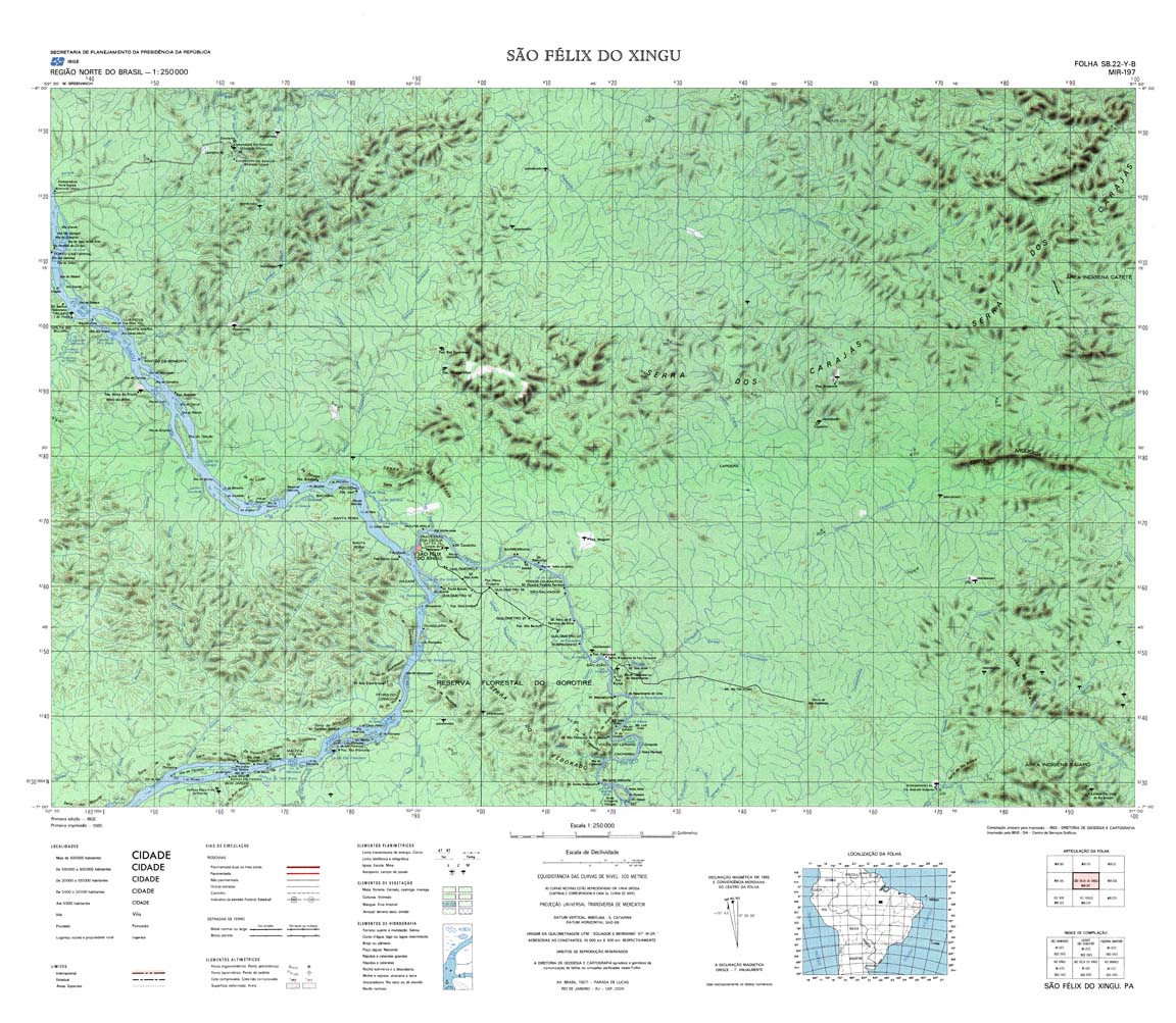
| 197 | SB-22-Y-B | SAO FELIX DO XINGU | IBGE | Top / Radar | jpg | tif | zip | |
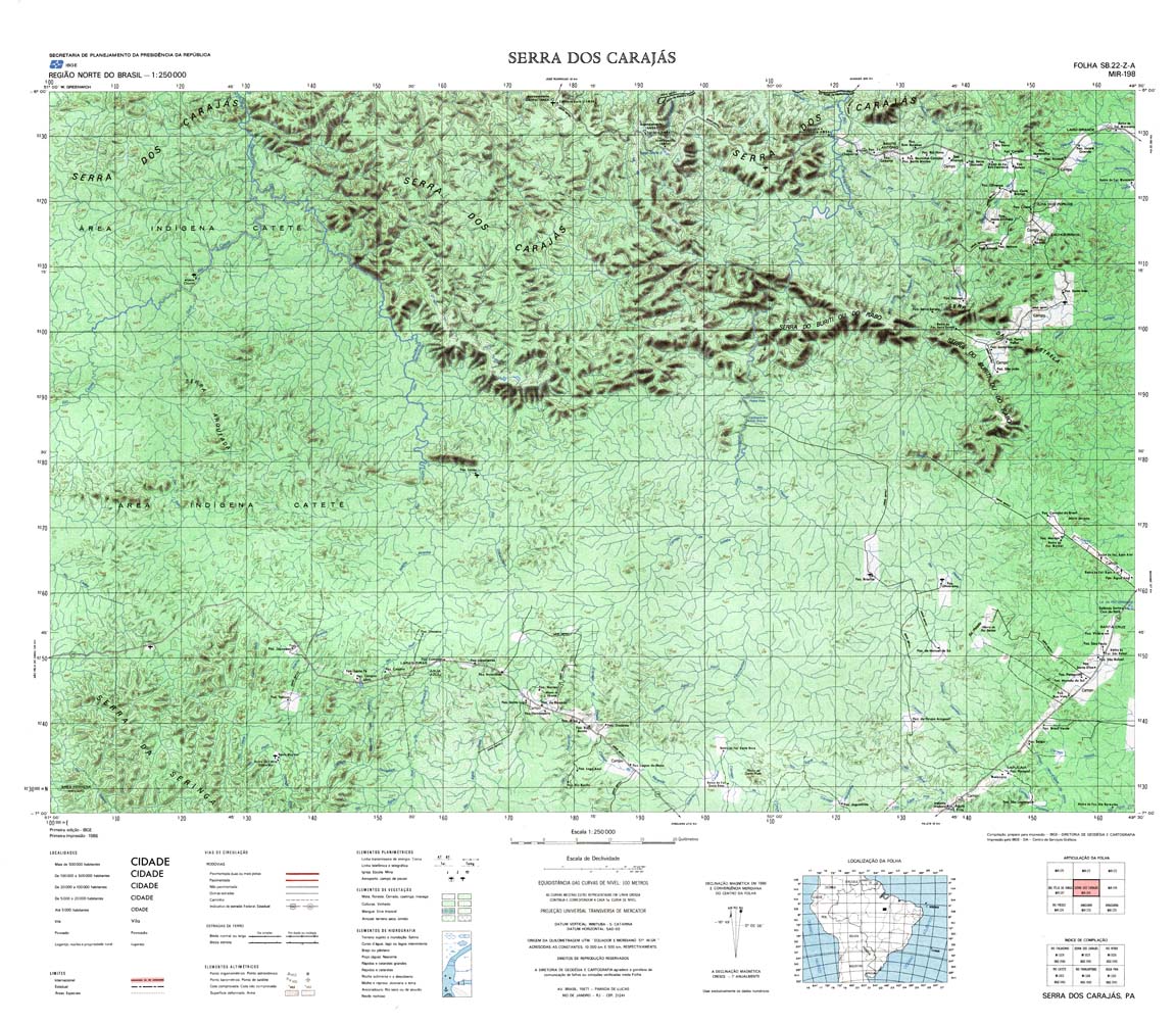
| 198 | SB-22-Z-A | SERRA DOS CARAJAS | IBGE | Top / Radar | jpg | tif | zip | |
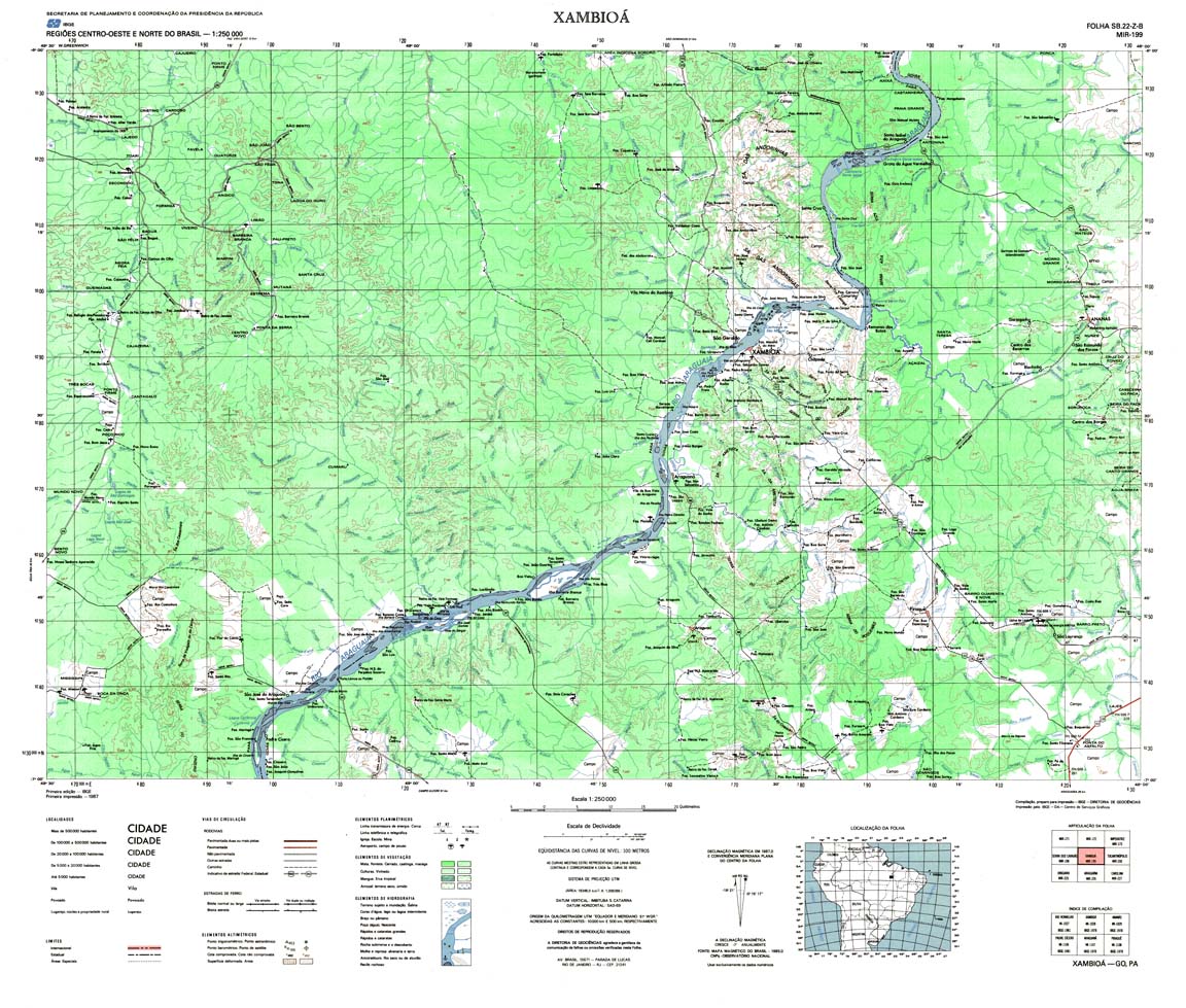
| 199 | SB-22-Z-B | XAMBIOA | IBGE | Top / Radar | jpg | tif | zip | |
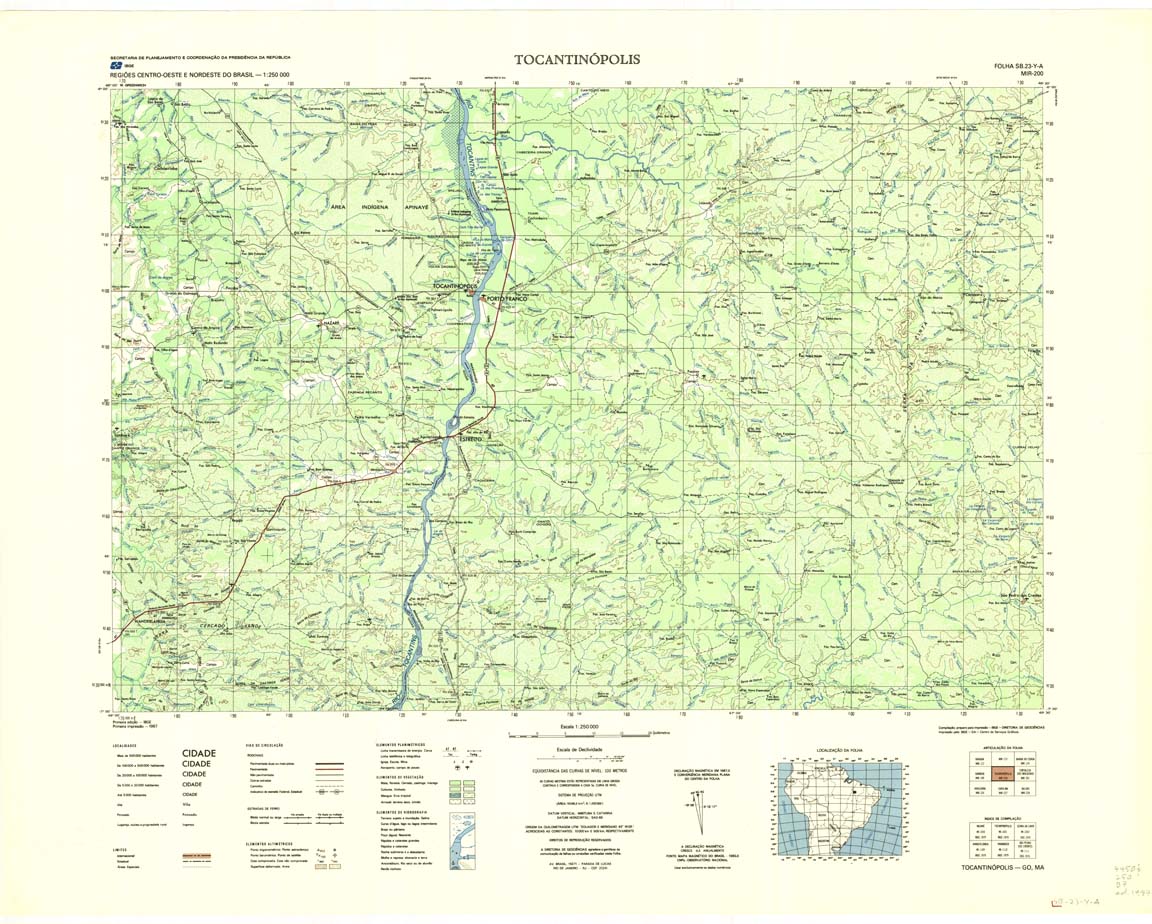
| 200 | SB-23-Y-A | TOCANTINOPOLIS | Top / Radar | jpg | tif | zip | ||
| 200(2) | SB-23-Y-A | TOCANTINOPOLIS | jpg | tif | ||||
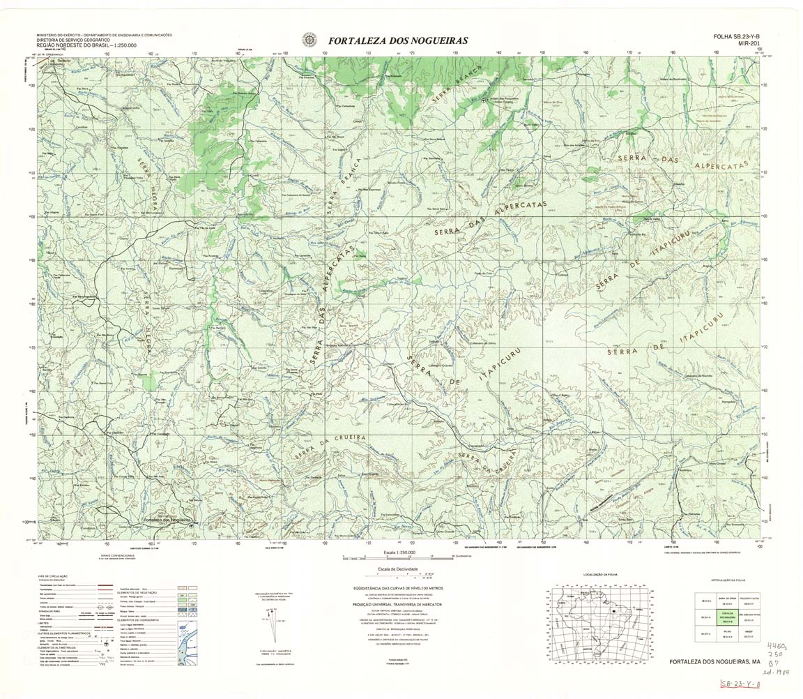
| 201 | SB-23-Y-B | FORTALEZA DOS NOGUEIRA | DSG | Top / Radar | jpg | tif | zip | |
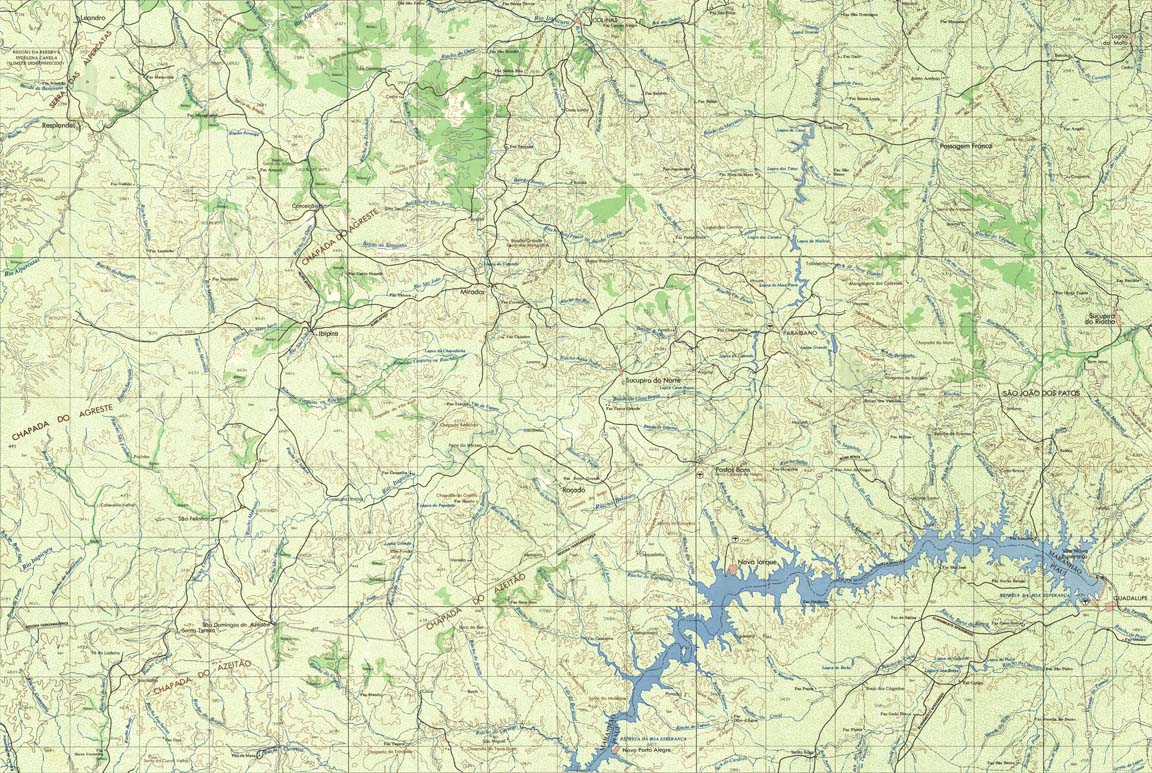
| 202 | SB-23-Z-A | SAO JOAO DOS PATOS | DSG | Top / Radar | jpg | tif | zip | |
| 203 | SB-23-Z-B | Radar | jpg | tif | ||||
| 204 | SB-24-Y-A | VALENCA DO PIAUI | jpg | tif | zip | |||
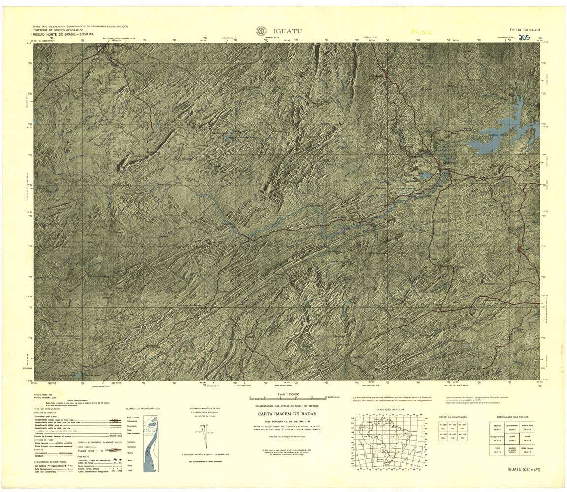
| 205 | SB-24-Y-B | IGUATU | jpg | tif | zip | |||
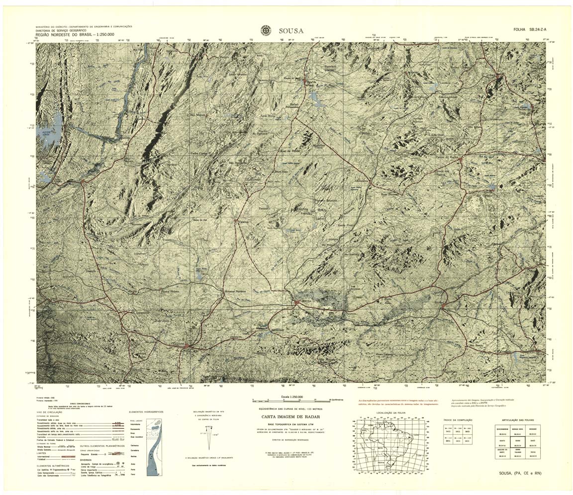
| 206 | SB-24-Z-A | SOUSA | jpg | tif | zip | |||
| 207 | SB-24-Z-B | CAICO | jpg | tif | zip | |||
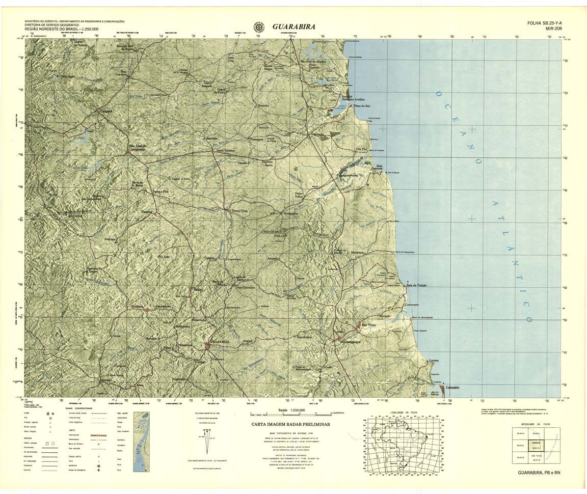
| 208 | SB-25-Y-A | GUARABIRA | DSG | Top / Radar | jpg | tif | zip | |
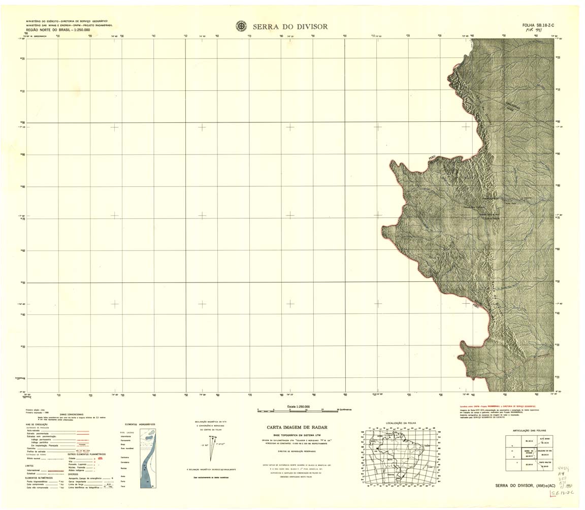
| 209 | SB-18-Z-C | SERRA DO DIVISOR | 1984 | Radar | jpg | tif | zip | |
| 209(2) | SB-18-Z-C | SERRA DO DIVISOR | jpg | tif | ||||
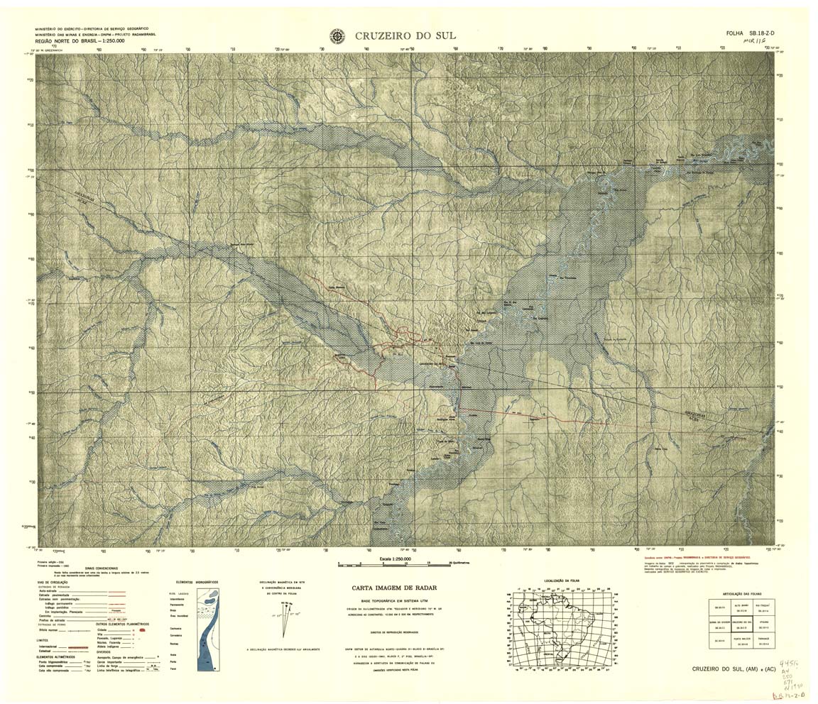
| 210 | SB-18-Z-D | CRUZEIRO DO SUL | Radar | jpg | tif | zip | ||
| 211 | SB-19-Y-C | IPIXUNA | DSG | Top / Radar | jpg | tif | zip | |
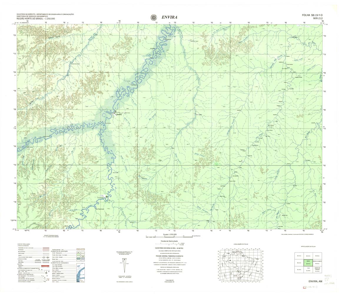
| 212 | SB-19-Y-D | ENVIRA | DSG | Top / Radar | jpg | tif | zip | |
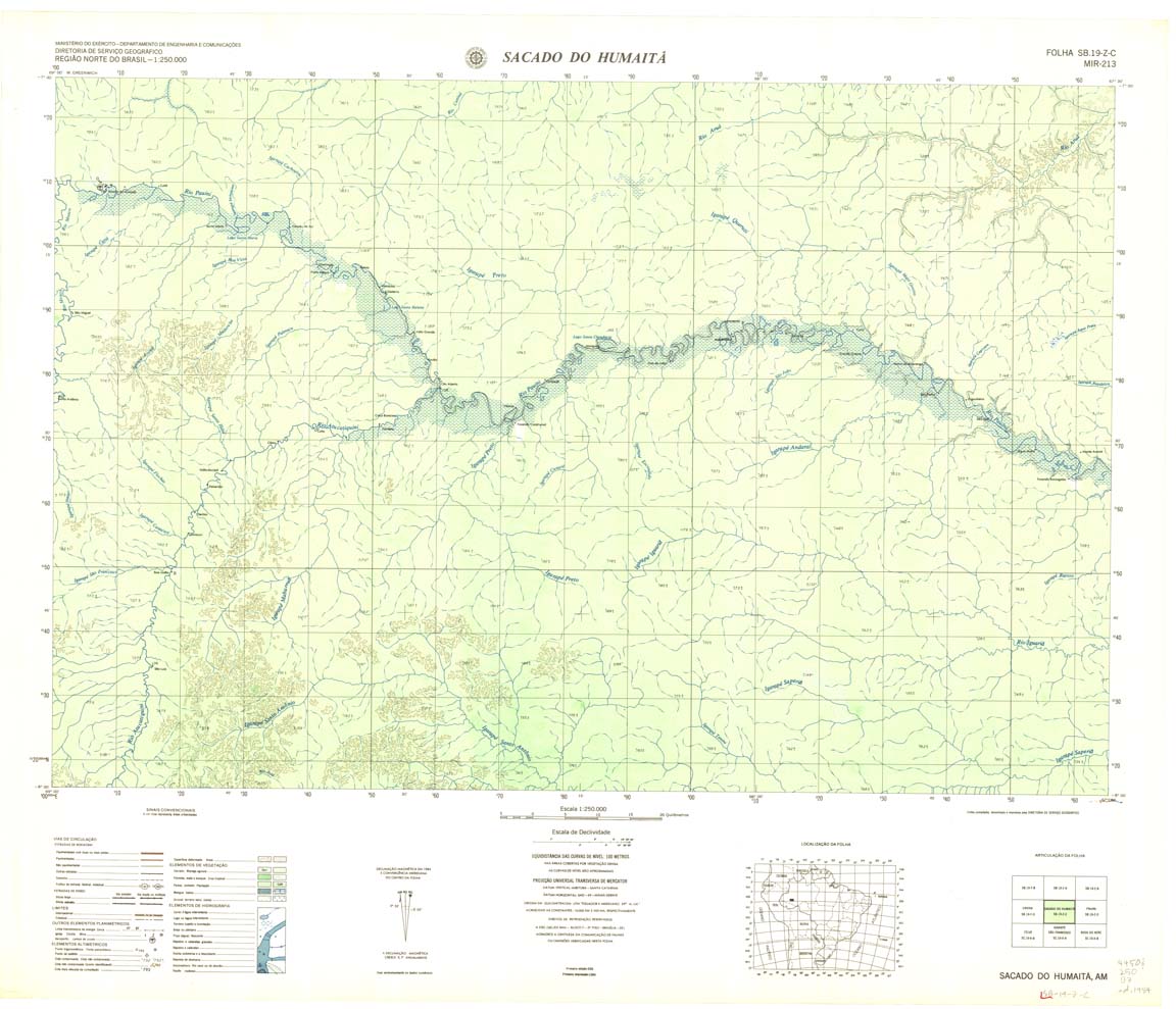
| 213 | SB-19-Z-C | SACADO DO HUMAITA | DSG | Top / Radar | jpg | tif | zip | |
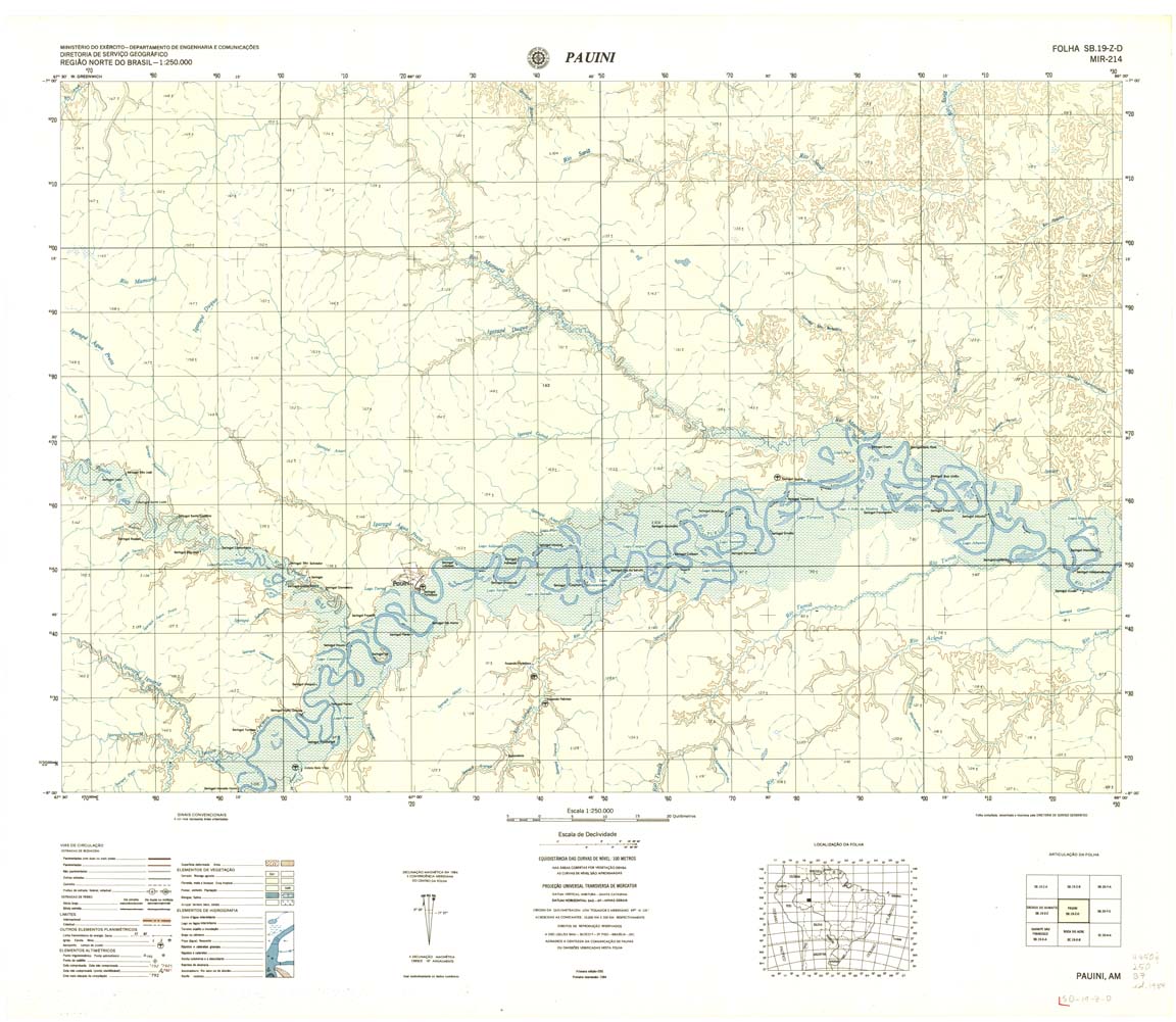
| 214 | SB-19-Z-D | PAUINI | DSG | Top / Radar | jpg | tif | zip | |
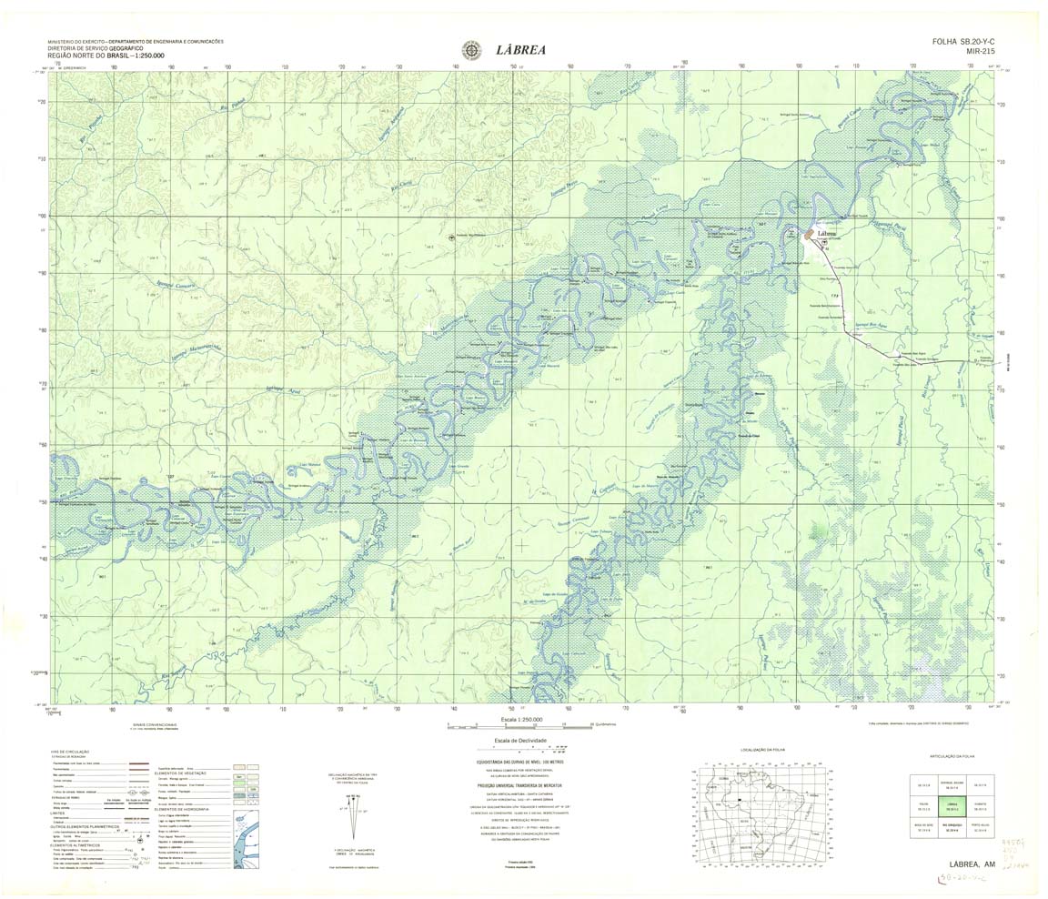
| 215 | SB-20-Y-C | LABREA | DSG | Top / Radar | jpg | tif | zip | |
| 216 | SB-20-Y-D | HUMAITA | DSG | Top / Radar | jpg | tif | zip | |
| 217 | SB-20-Z-C | LAGOA TRES CASAS | DSG | Top / Radar | jpg | tif | zip | |
| 218 | SB-20-Z-D | SUMAUMA | DSG | Top / Radar | jpg | tif | zip | |
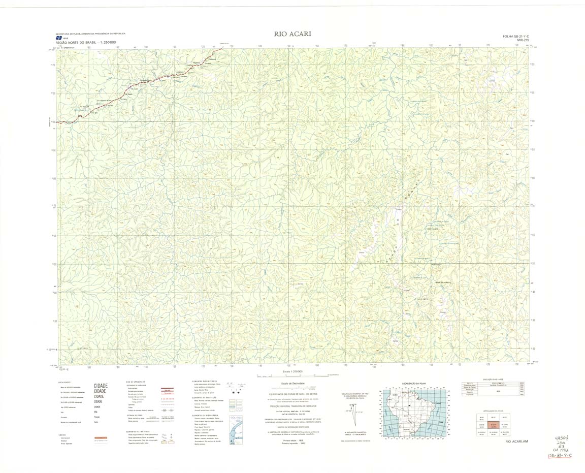
| 219 | SB-21-Y-C | RIO ACARI | IBGE | Top / Radar | jpg | tif | zip | |
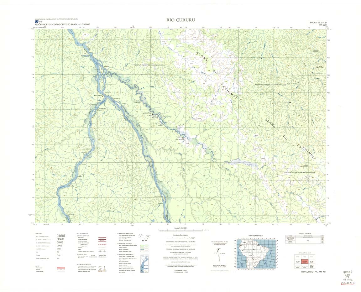
| 220 | SB-21-Y-D | RIO CURURU | IBGE | Top / Radar | jpg | tif | zip | |
| 221 | SB-21-Z-C | RIO NOVO | IBGE | Top / Radar | jpg | tif | zip | |
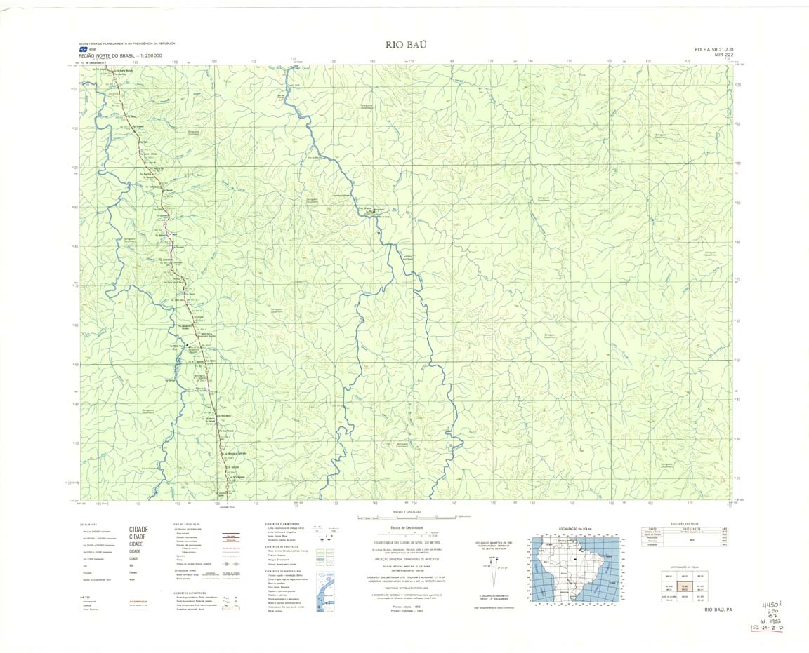
| 222 | SB-21-Z-D | RIO BAU | IBGE | Top / Radar | jpg | tif | zip | |
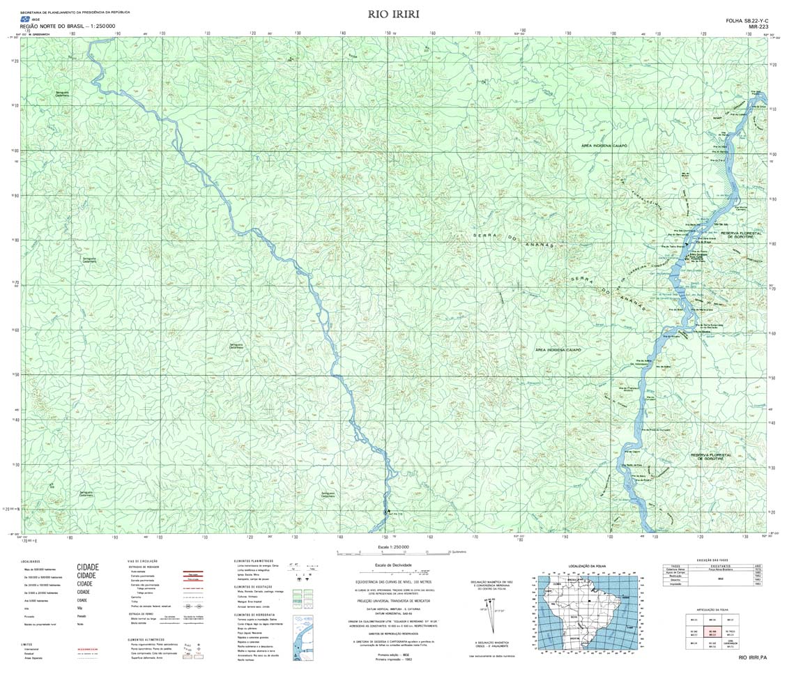
| 223 | SB-22-Y-C | RIO IRIRI | IBGE | Top / Radar | jpg | tif | zip | |
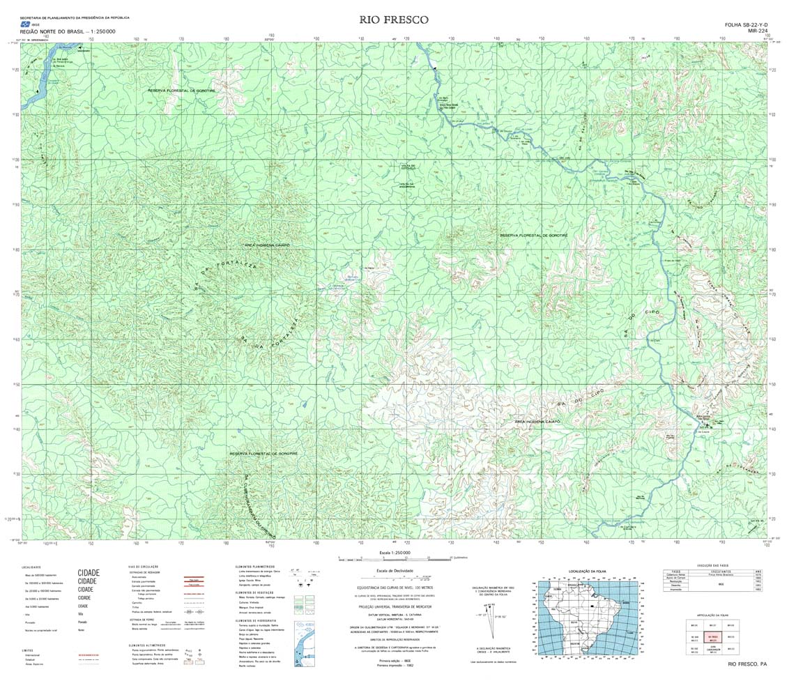
| 224 | SB-22-Y-D | RIO FRESCO | IBGE | Top / Radar | jpg | tif | zip | |
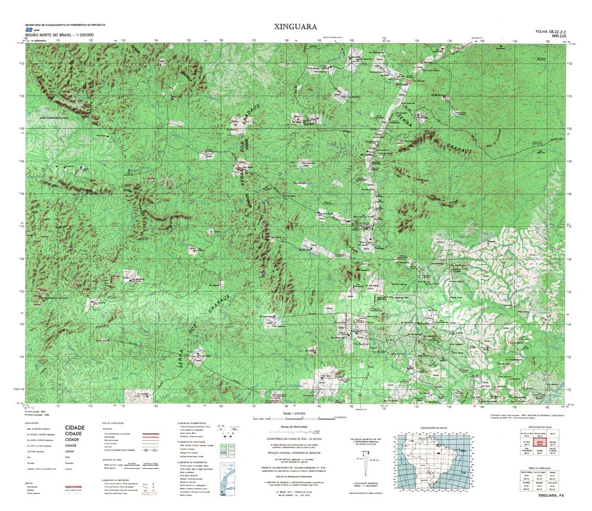
| 225 | SB-22-Z-C | XINGUARA | IBGE | Top / Radar | jpg | tif | zip | |
| 226 | SB-22-Z-D | ARAGUAINA | DSG | Top / Radar | jpg | tif | zip | |
| 227 | SB-23-Y-C | CAROLINA | IBGE | Top / Radar | jpg | tif | zip | |
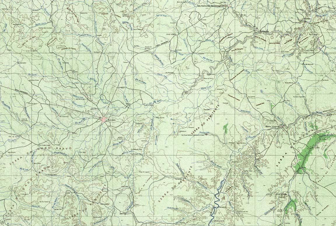
| 228 | SB-23-Y-D | BALSAS | DSG | Top / Radar | jpg | tif | zip | |
| 229 | SB-23-Z-C | URUCUI | DSG | Top / Radar | jpg | tif | zip | |
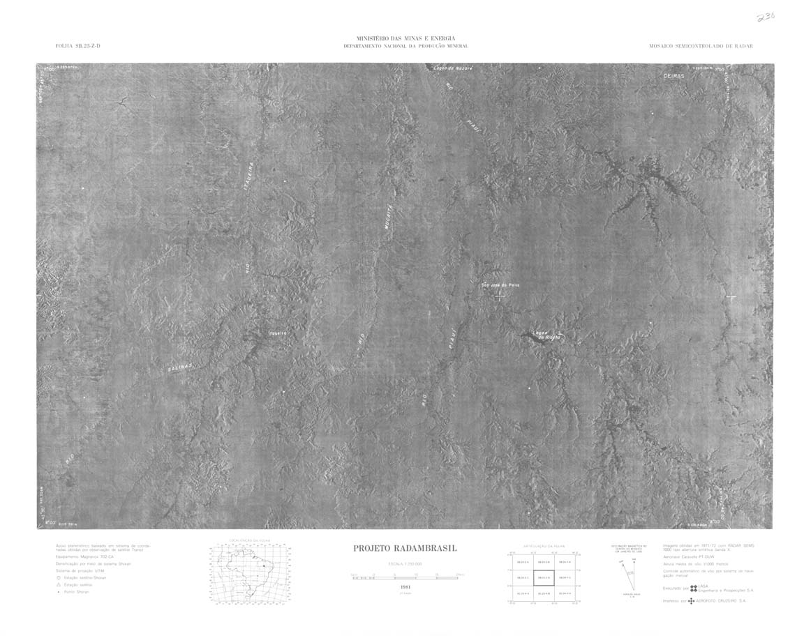
| 230 | SB-23-Z-D | jpg | tif | zip | ||||
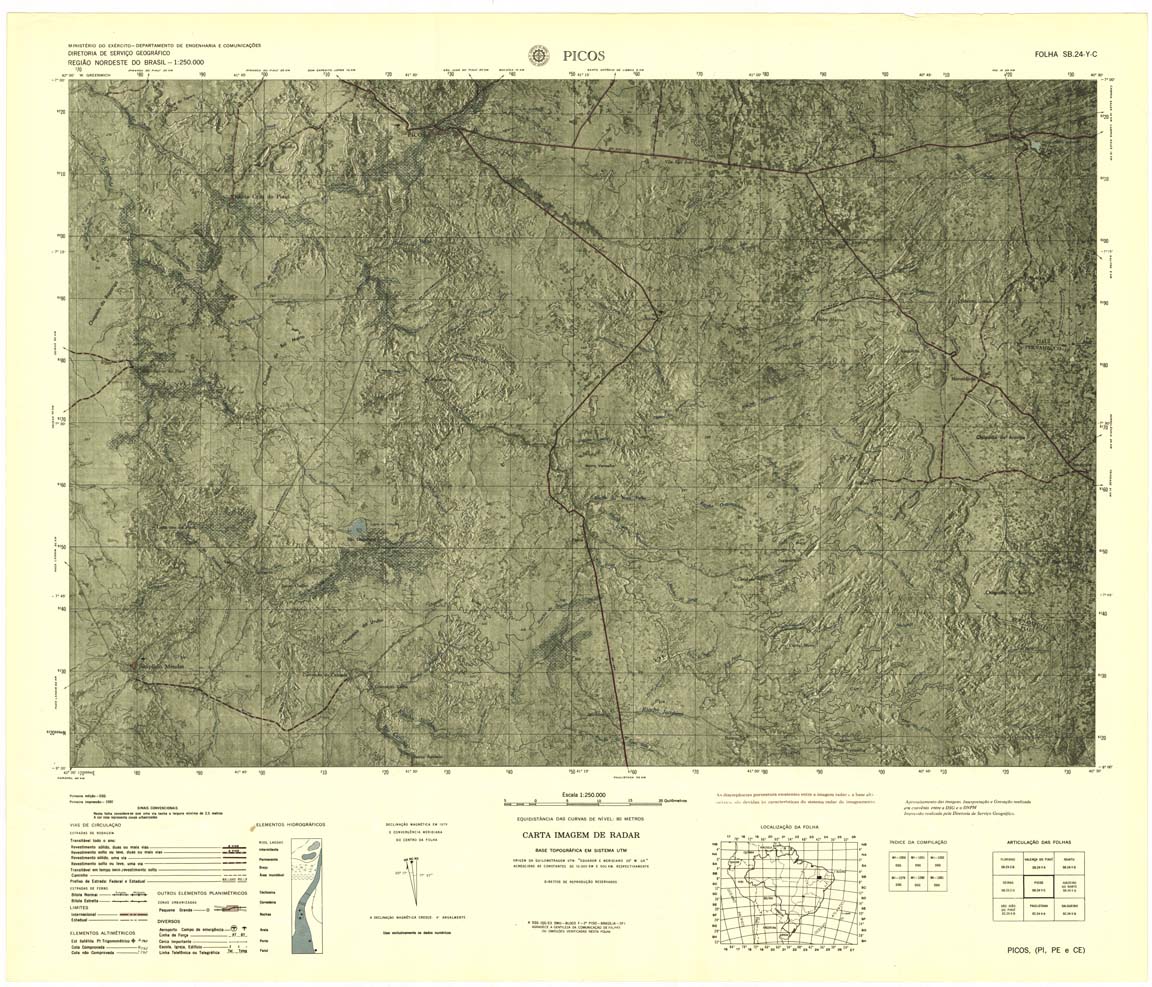
| 231 | SB-24-Y-C | Picos | 1980 | Radar | jpg | tif | zip | |
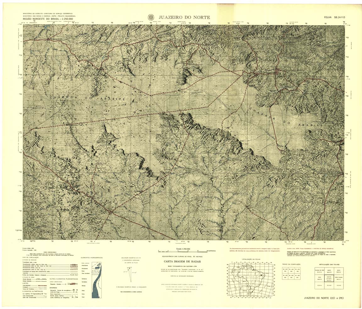
| 232 | SB-24-Y-D | JUAZERO DO NORTE | jpg | tif | zip | |||
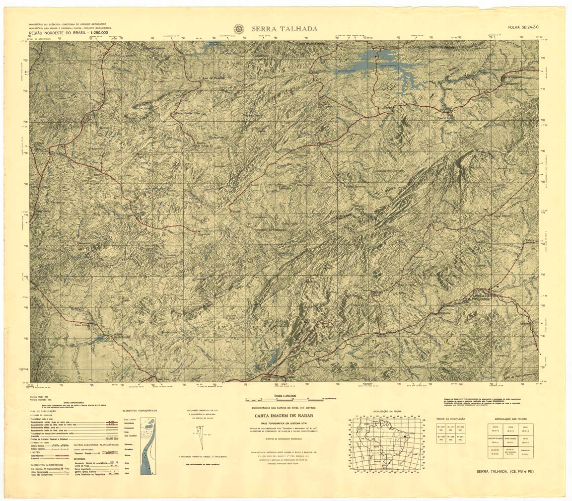
| 233 | SB-24-Z-C | SERRA TALHADA | jpg | tif | zip | |||
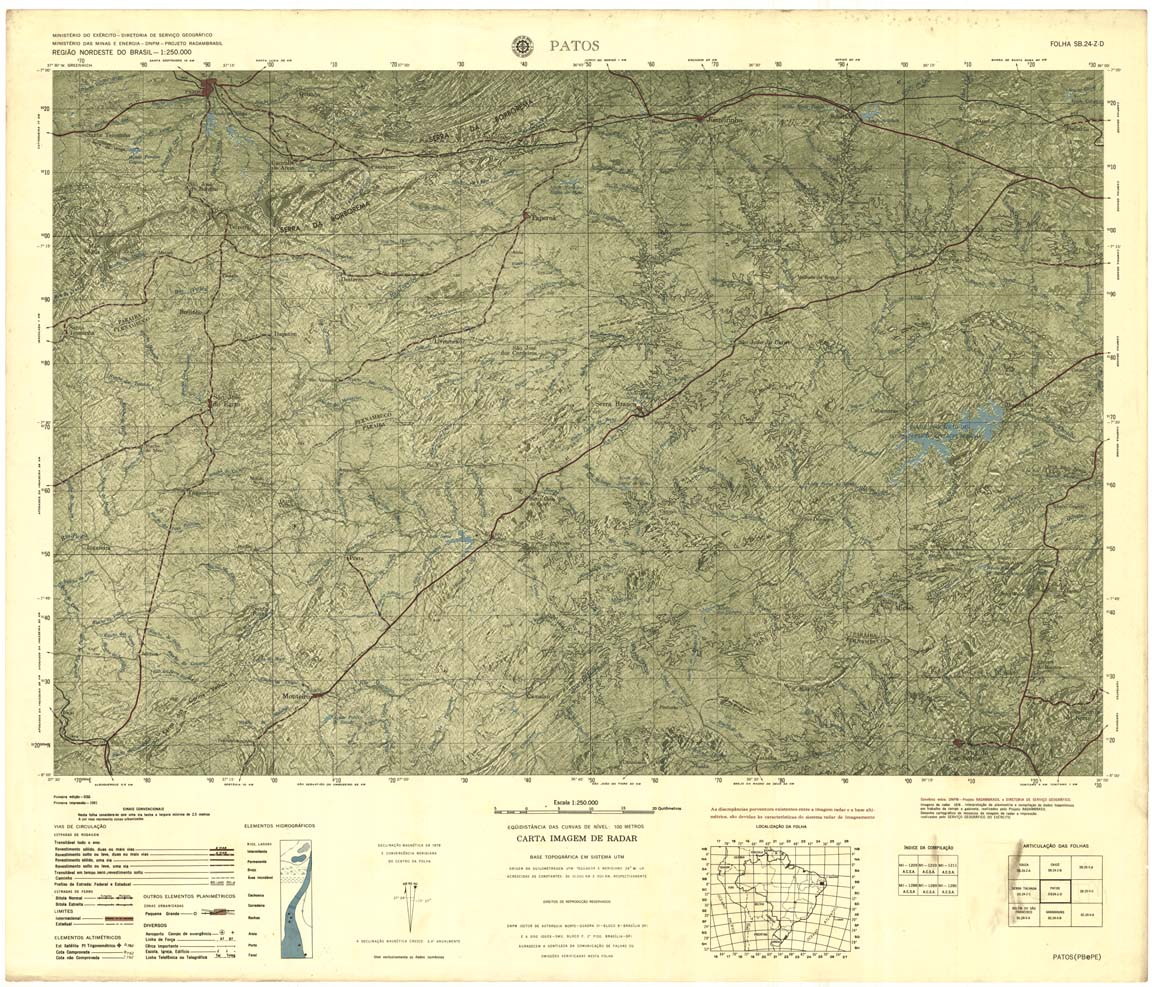
| 234 | SB-24-Z-D | PATOS | Radar | jpg | tif | zip | ||
| 235 | SB-25-Y-C | JOAO PESSOA | DSG | Top / Radar | jpg | tif | zip | |
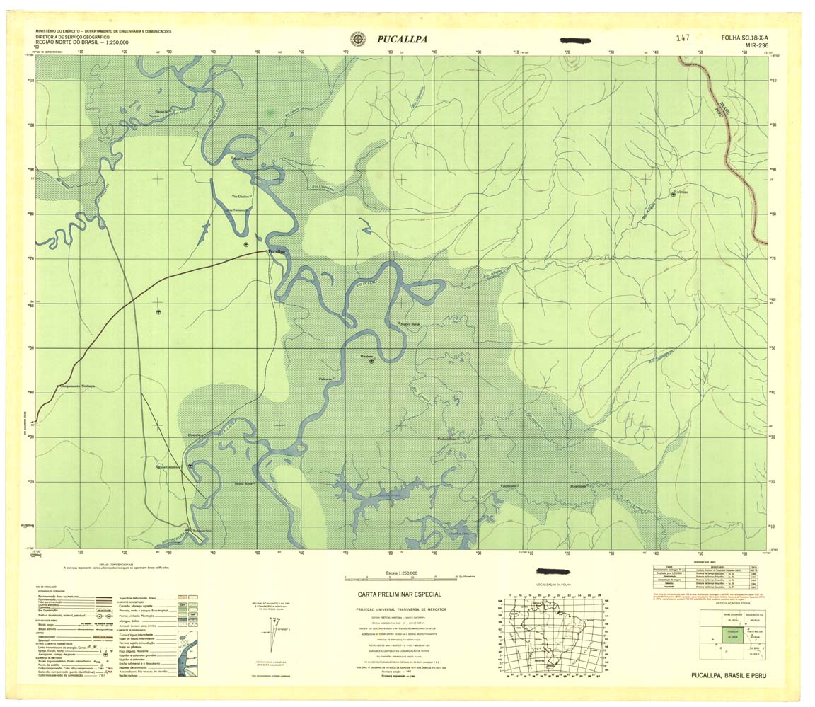
| 236 | SC-18-X-A | PUCAUPA | 1984 | Radar | jpg | tif | zip | |
| 237 | SB-18-X-B | PORTO WALTER | Radar | jpg | tif | zip | ||
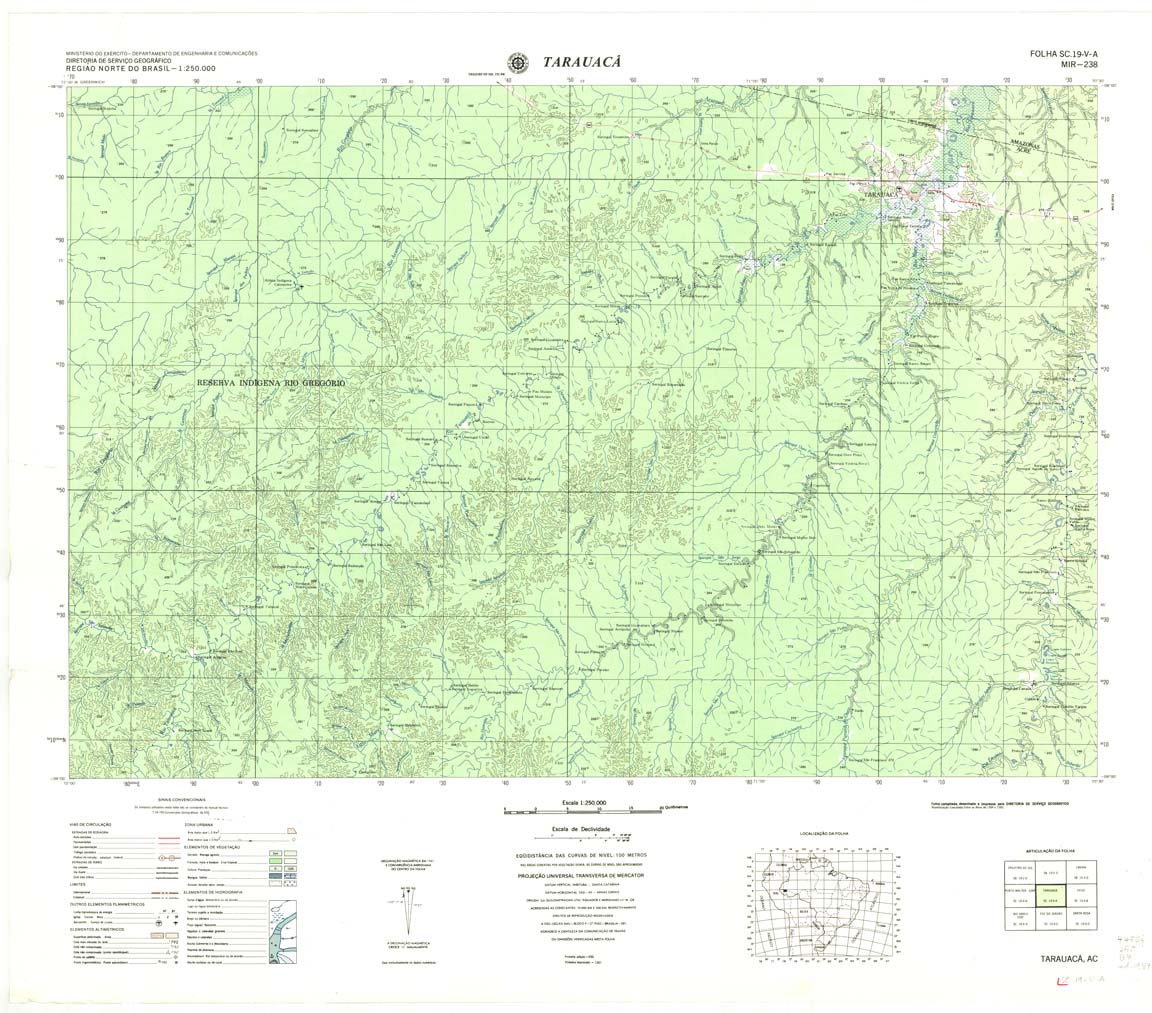
| 238 | SC-19-V-A | TARAUACA | DSG | Top / Radar | jpg | tif | zip | |
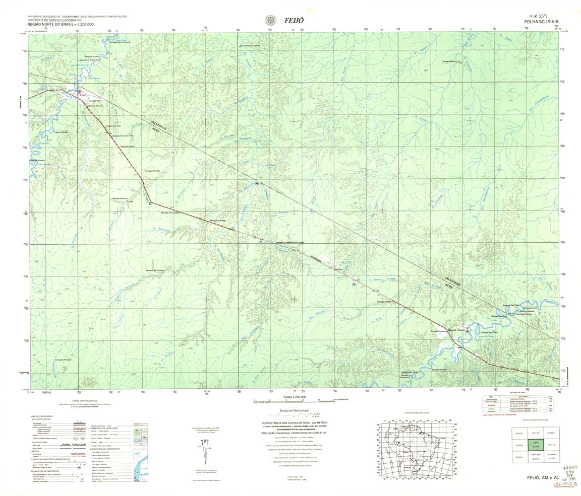
| 239 | SC-19-V-B | FEIJO | DSG | Top / Radar | jpg | tif | zip | |
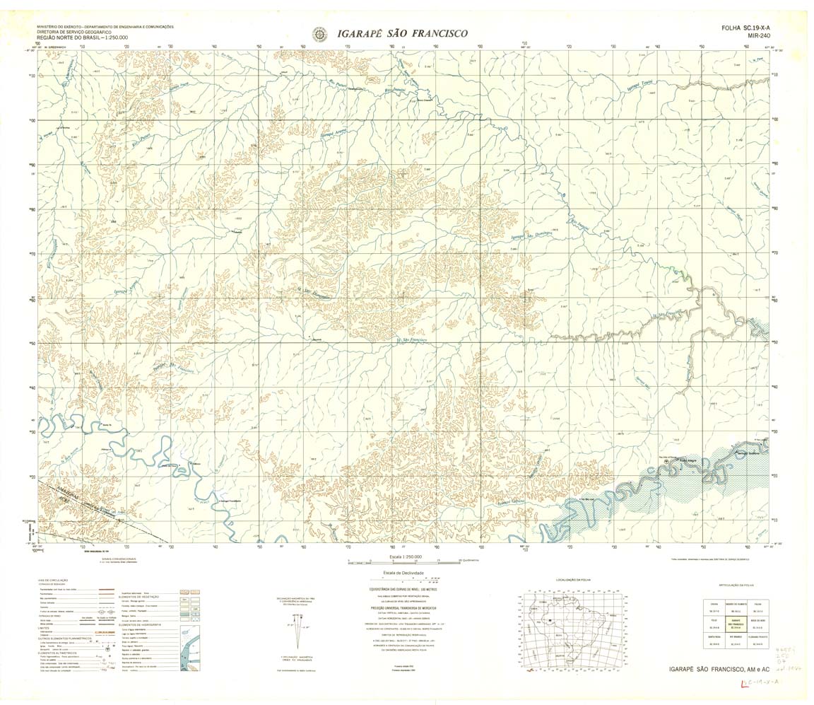
| 240 | SC-19-X-A | IGARAPE SAO FRANCISCO | DSG | Top / Radar | jpg | tif | zip | |
| 241 | SC-19-X-B | BOCA DO ACRE | DSG | Top / Radar | jpg | tif | zip | |
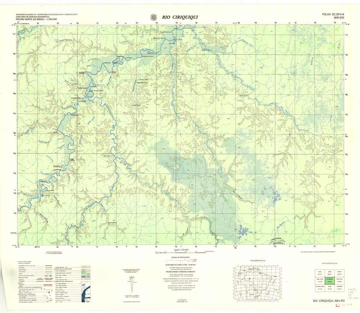
| 242 | SC-20-V-A | RIO CIRIQUIQUI | DSG | Top / Radar | jpg | tif | zip | |
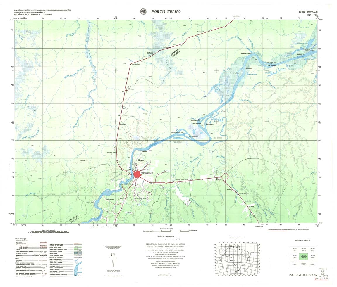
| 243 | SC-20-V-B | PORTO VELHO | DSG | Top / Radar | jpg | tif | zip | |
| 244 | SC-20-X-A | CALAMA | IBGE | Top / Radar | jpg | tif | zip | |
| 245 | SC-20-X-B | RIO ROOSEVELT | IBGE | Top / Radar | jpg | tif | zip | |
| 246 | SC-21-V-A | RIO SUCUNDURI | IBGE | Top / Radar | jpg | tif | zip | |
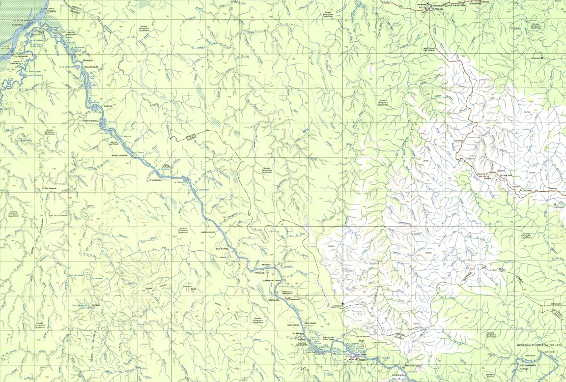
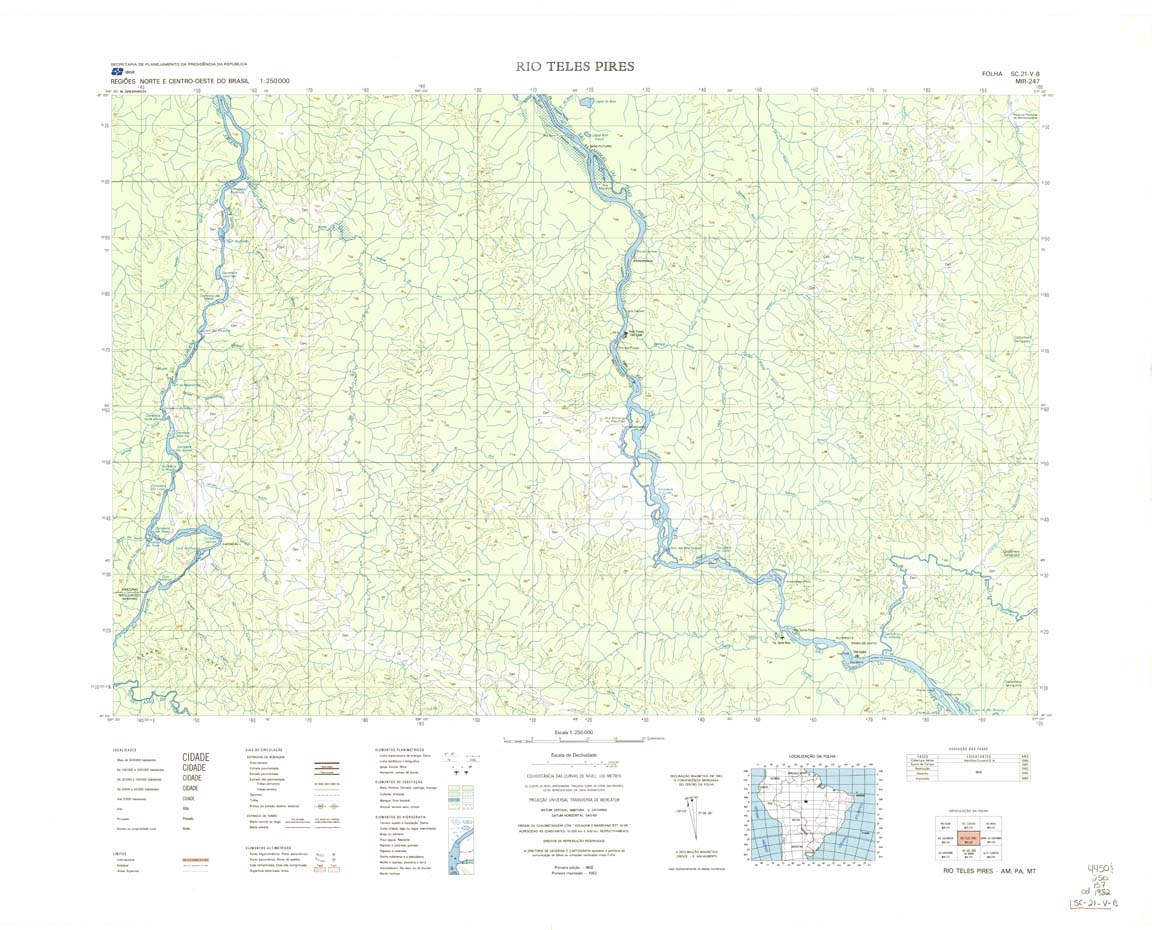
| 247 | SC-21-V-B | RIO TELES PIRES | IBGE | Top / Radar | jpg | tif | zip | |
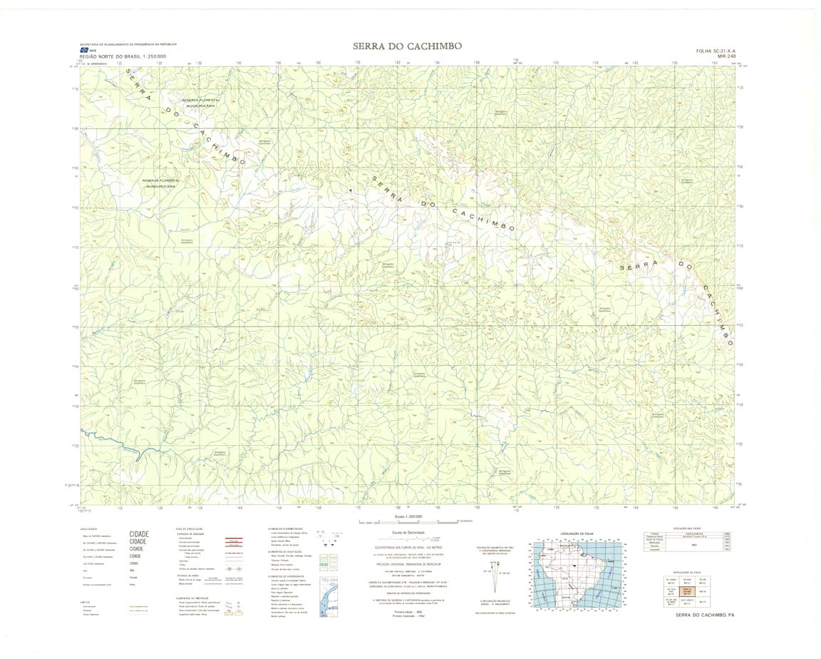
| 248 | SC-21-X-A | SERRA DO CACHIMBO | IBGE | Top / Radar | jpg | tif | zip | |
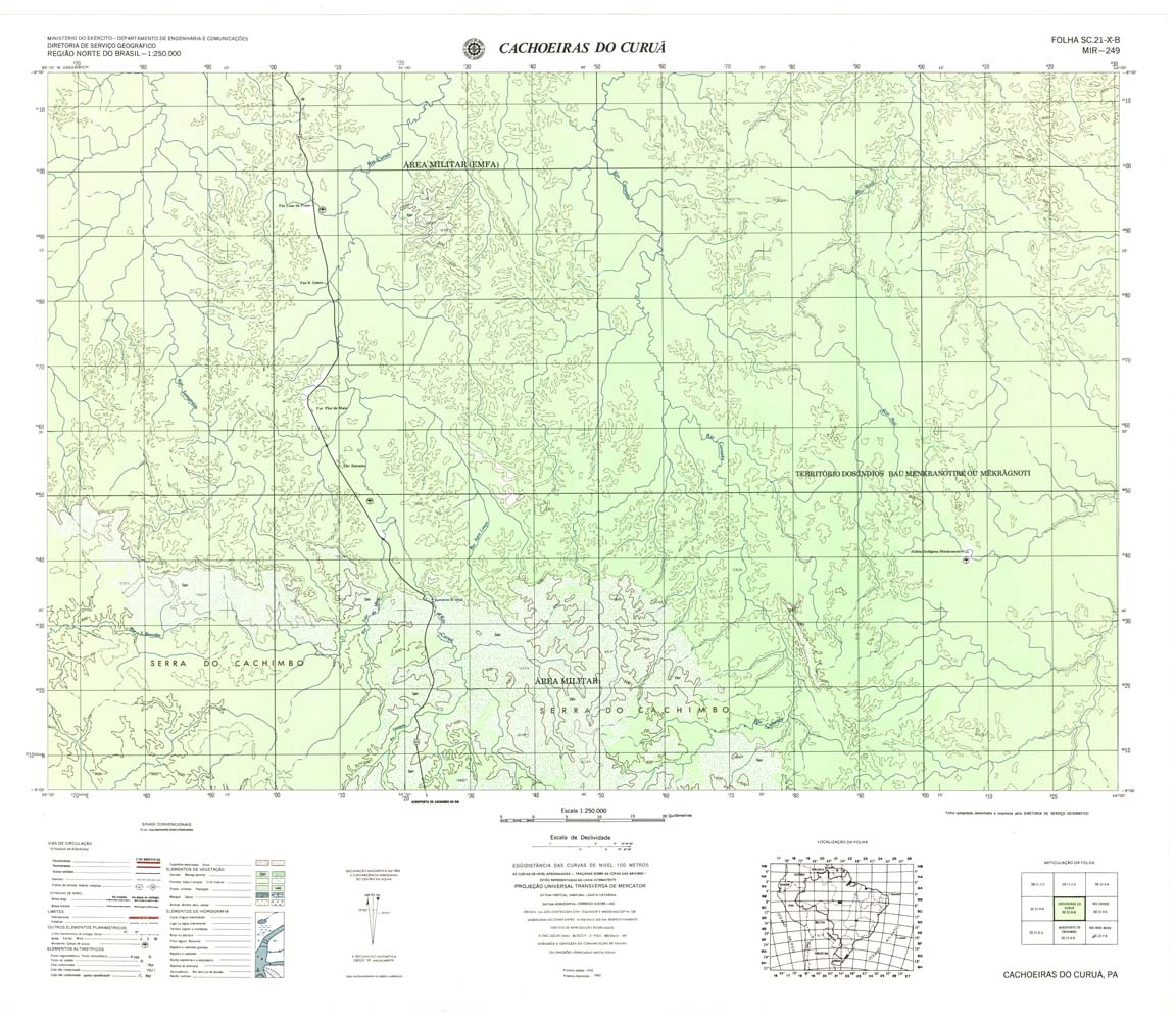
| 249 | SC-21-X-B | CACHOEIRAS DO CURUA | DSG | Top / Radar | jpg | tif | zip | |
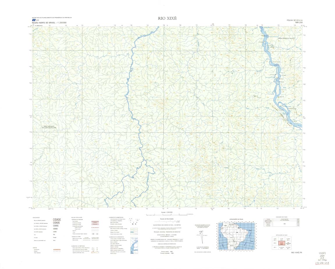
| 250 | SC-22-V-A | RIO XIXE | IBGE | Top / Radar | jpg | tif | zip | |
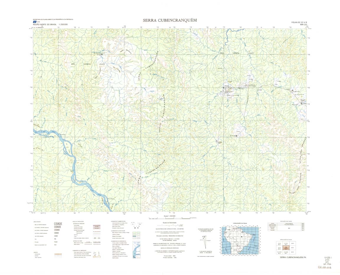
| 251 | SC-22-V-B | SERRA CUBENCRANQUEM | 1982 | Top / Radar | jpg | tif | zip | |
| 252 | SC-22-X-A | REDENCAO | IBGE | Top / Radar | jpg | tif | zip | |
| 253 | SC-22-X-B | CONCEICAO DO ARAGUAIA | DSG | Top / Radar | jpg | tif | zip | |
| 254 | SC-23-V-A | ITACAJA | 1982 | Top / Radar | jpg | tif | zip | |
| 255-rcol | jpg | tif | zip | |||||
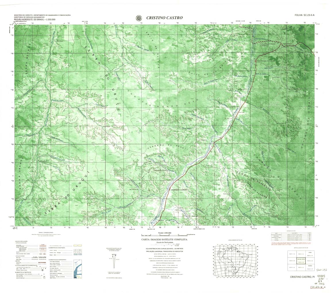
| 256 | SC-23-X-A | Cristino Castro | 1983 | Top / Radar | jpg | tif | zip | |
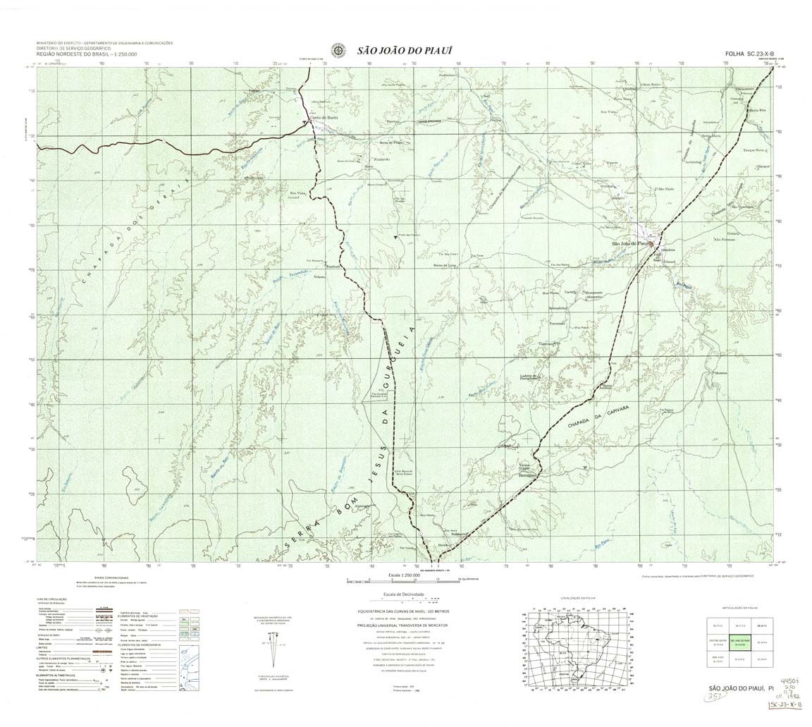
| 257 | SC-23-X-B | Sao Joao Do Piaui | 1983 | Top / Radar | jpg | tif | zip | |
| 258 | SC-24-NO-1 | Paulistana | 1946 | Top / Radar | jpg | tif | zip | |
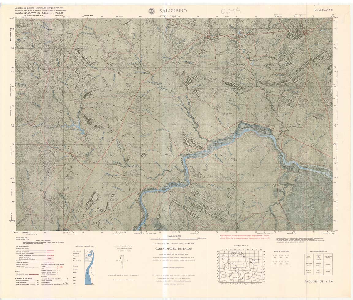
| 259 | SC-24-V-B | SALGUEIRO | jpg | tif | ||||
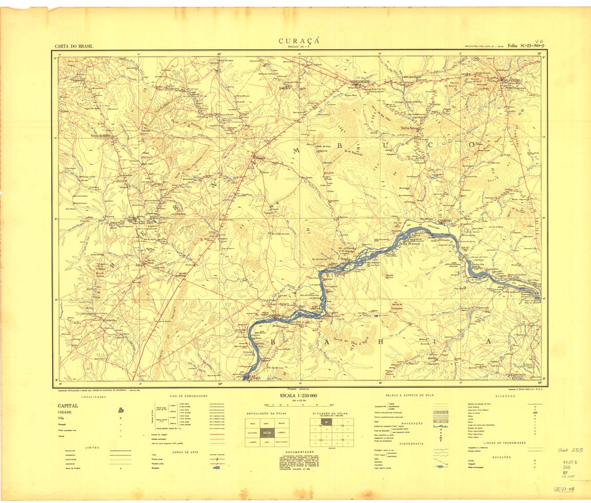
| 259-8bit | SC-24-V-B | CURACA | IBGE | Top | jpg | tif | zip | |
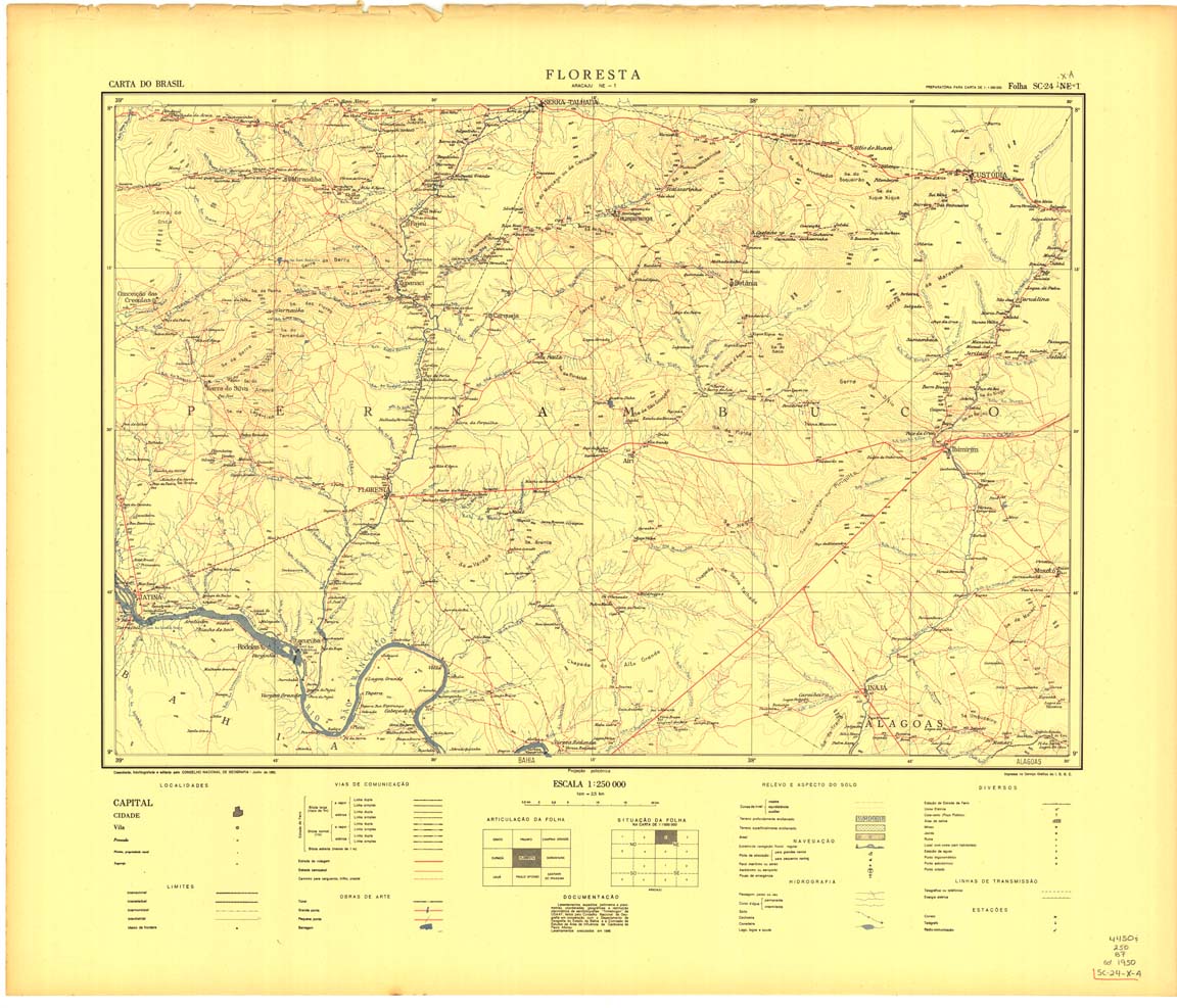
| 260 | SC-24-X-A | FLORESTA | jpg | tif | zip | |||
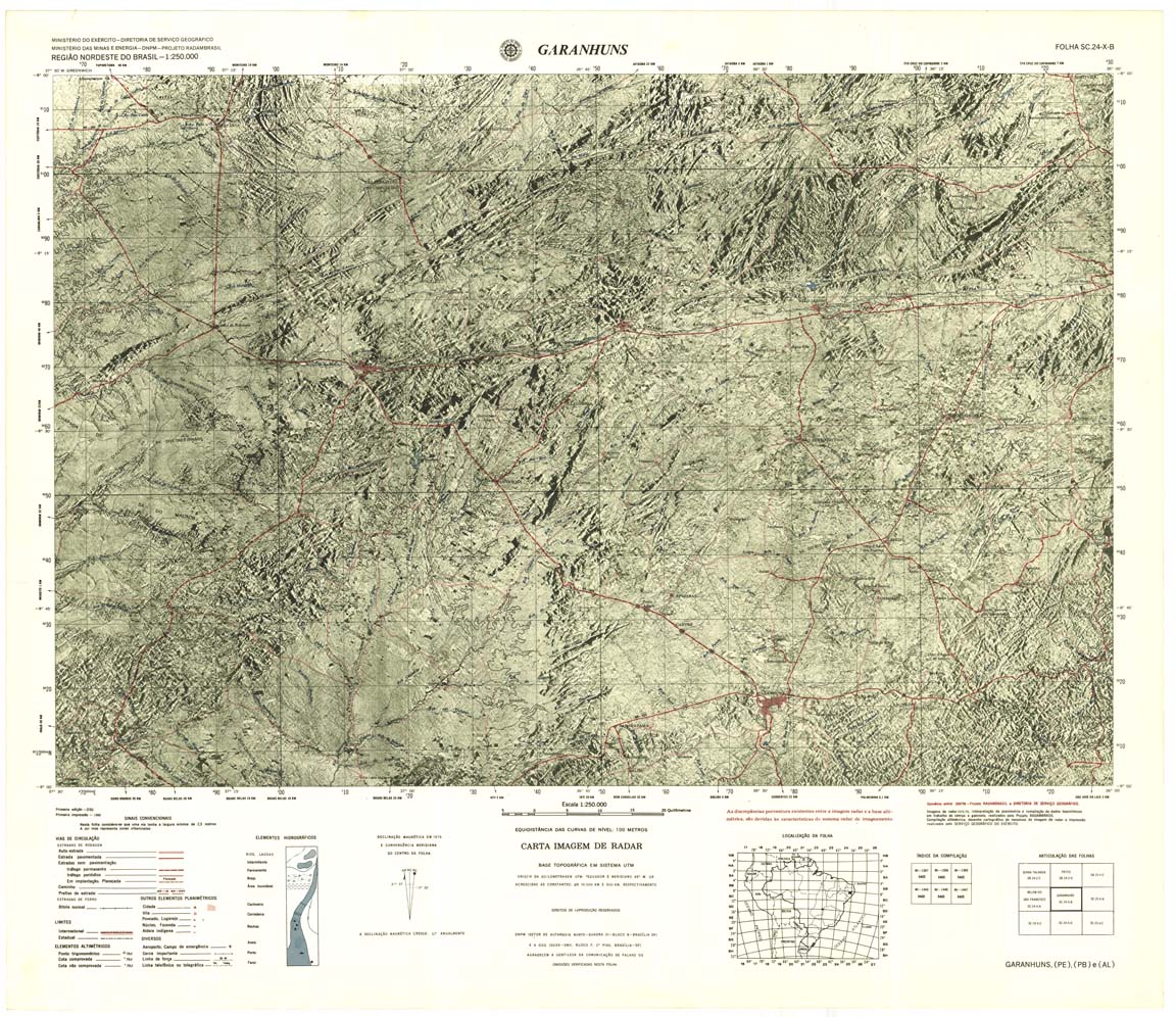
| 261 | SC-24-X-B | GARANHUNS | IBGE | Top / Radar | jpg | tif | zip | |
| 262 | NONAME | NONAME | jpg | tif | zip | |||
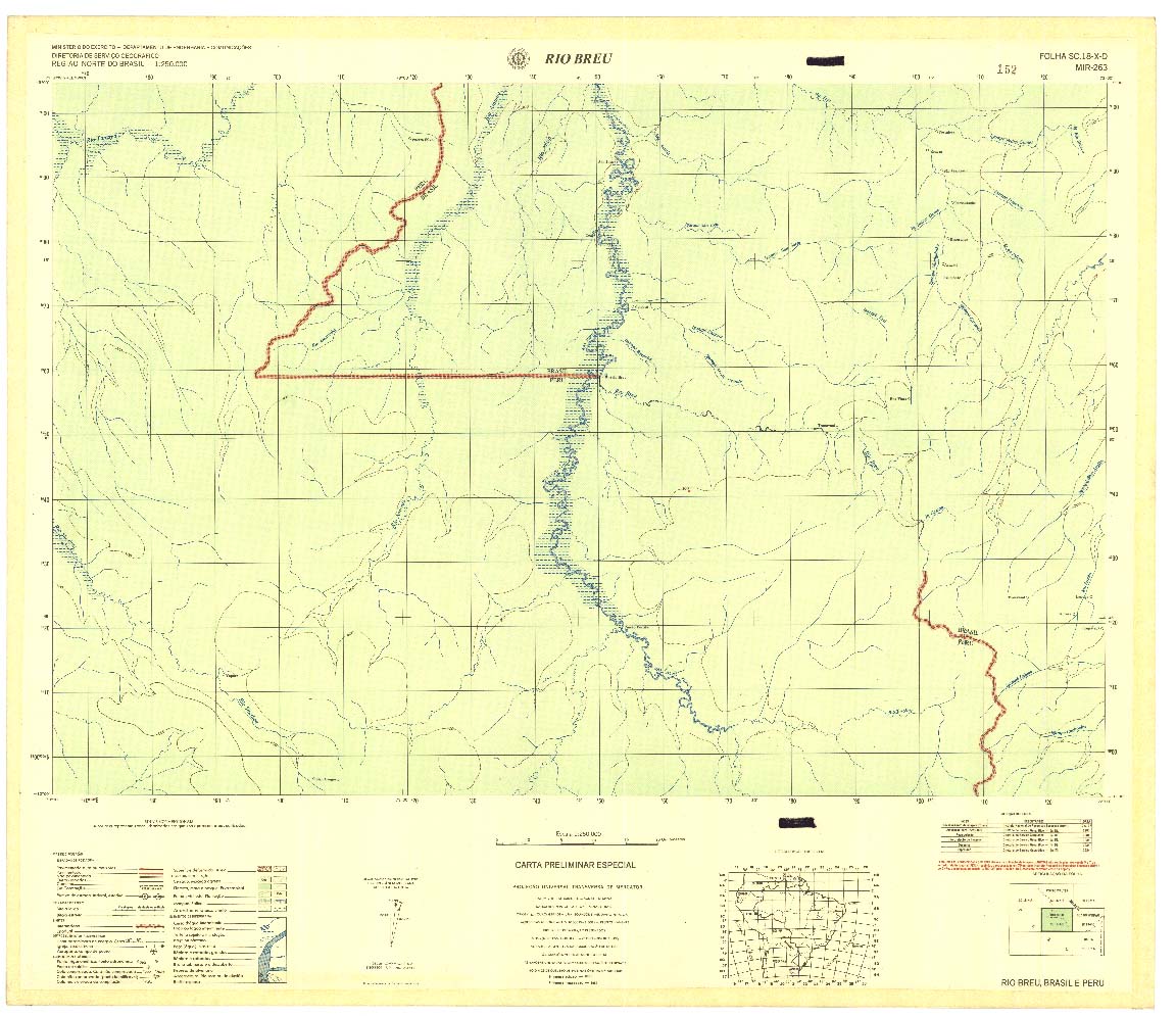
| 263 | SC-18-X-D | RIO BREU | Top / Radar | jpg | tif | zip | ||
| 264 | SC-19-V-C | FOZ DO JORDAO | DSG | Top / Radar | jpg | tif | zip | |
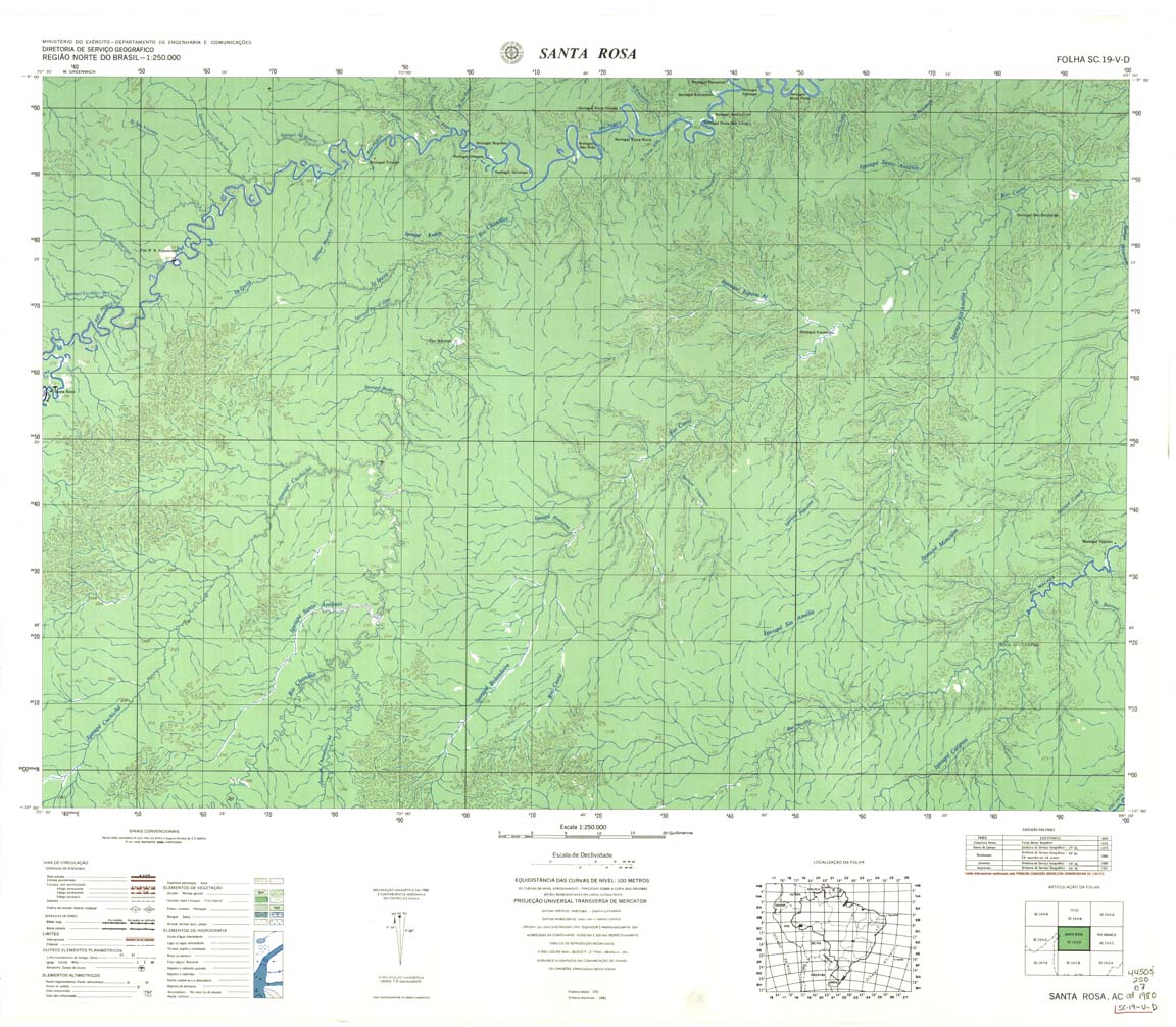
| 265 | SC-19-V-D | SANTA ROSA | DSG | Top / Radar | jpg | tif | zip | |
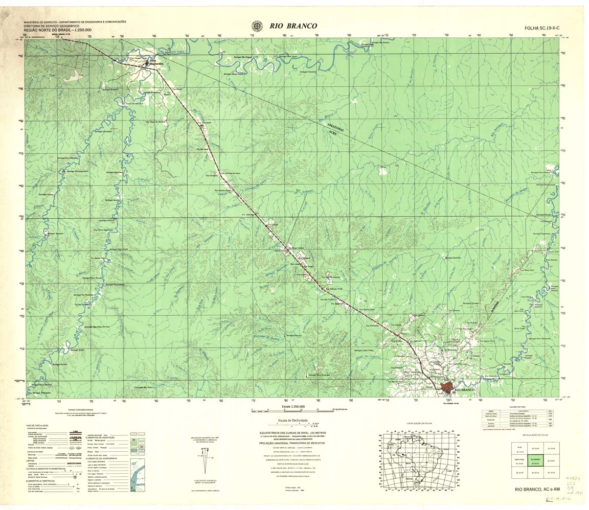
| 266 | SC-19-X-C | RIO BRANCO | DSG | Top / Radar | jpg | tif | zip | |
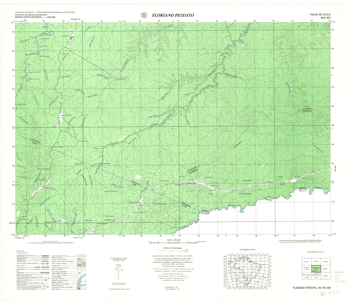
| 267 | SC-19-X-D | FLORIANO PEIXOTO | DSG | Top / Radar | jpg | tif | zip | |
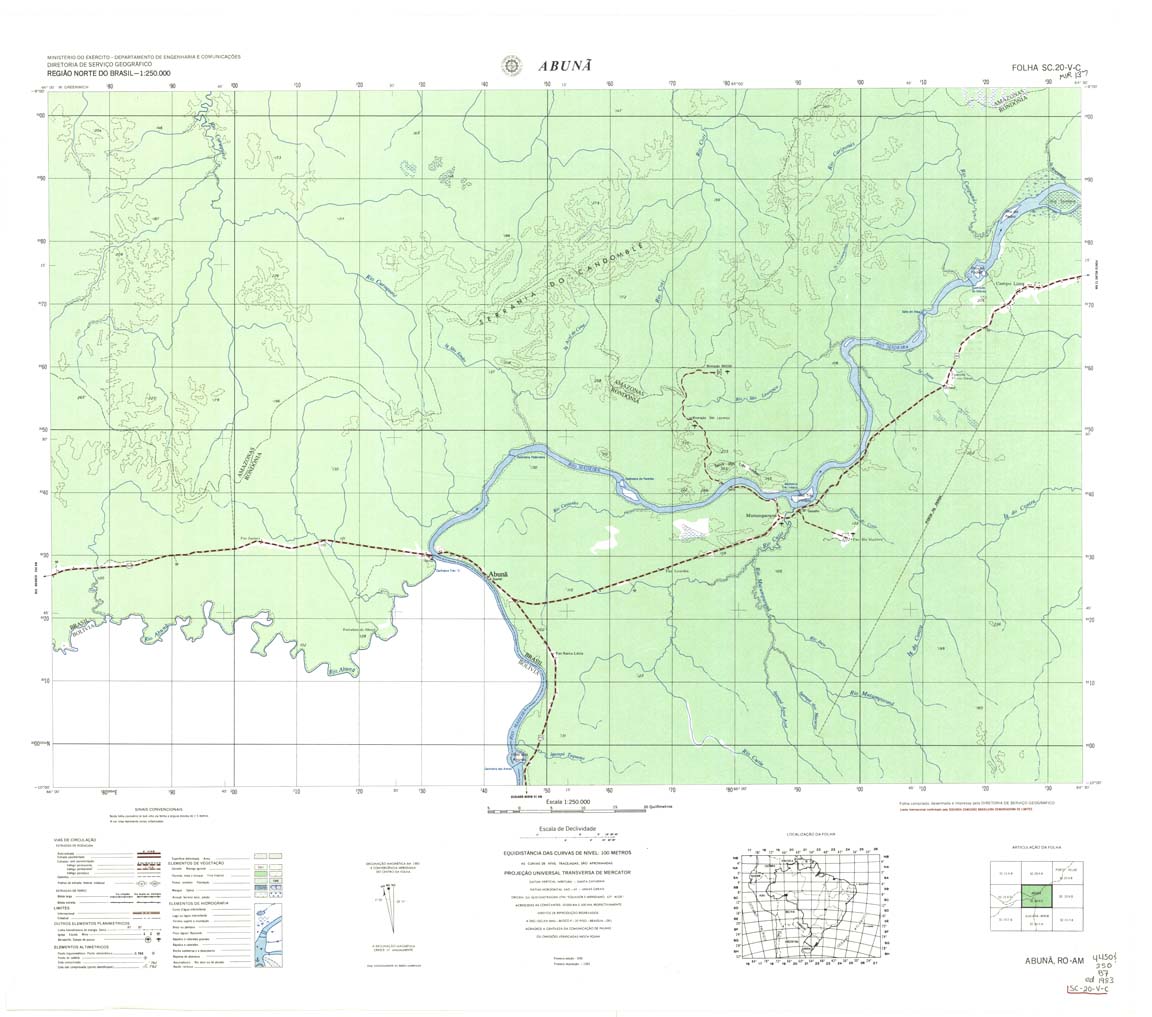
| 268 | SC-20-V-C | ABUNA | DSG | Top / Radar | jpg | tif | zip | |
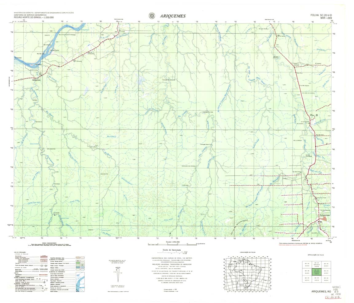
| 269 | SC-20-V-D | ARIQUEMES | DSG | Top / Radar | jpg | tif | zip | |
| 270 | SC-20-X-C | RIO MACHADINHO | IBGE | Top / Radar | jpg | tif | zip | |
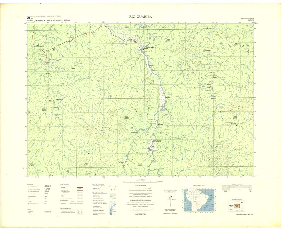
| 271 | SC-20-X-D | RIO GUARIBA | IBGE | Top / Radar | jpg | tif | zip | |
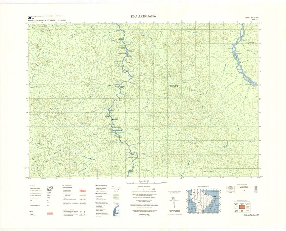
| 272 | SC-21-V-C | RIO ARIPUANA | IBGE | Top / Radar | jpg | tif | zip | |
| 273 | SC-21-V-D | RIO SAO JOAO DA BARRA | IBGE | Top / Radar | jpg | tif | zip | |
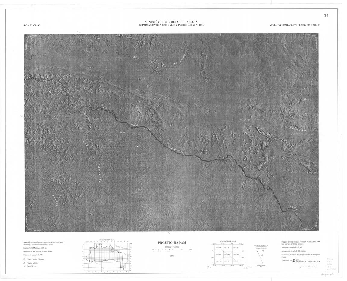
| 274 | SC-21-X-C | ALTA FLORESTA | IBGE | Top / Radar | jpg | tif | zip | |
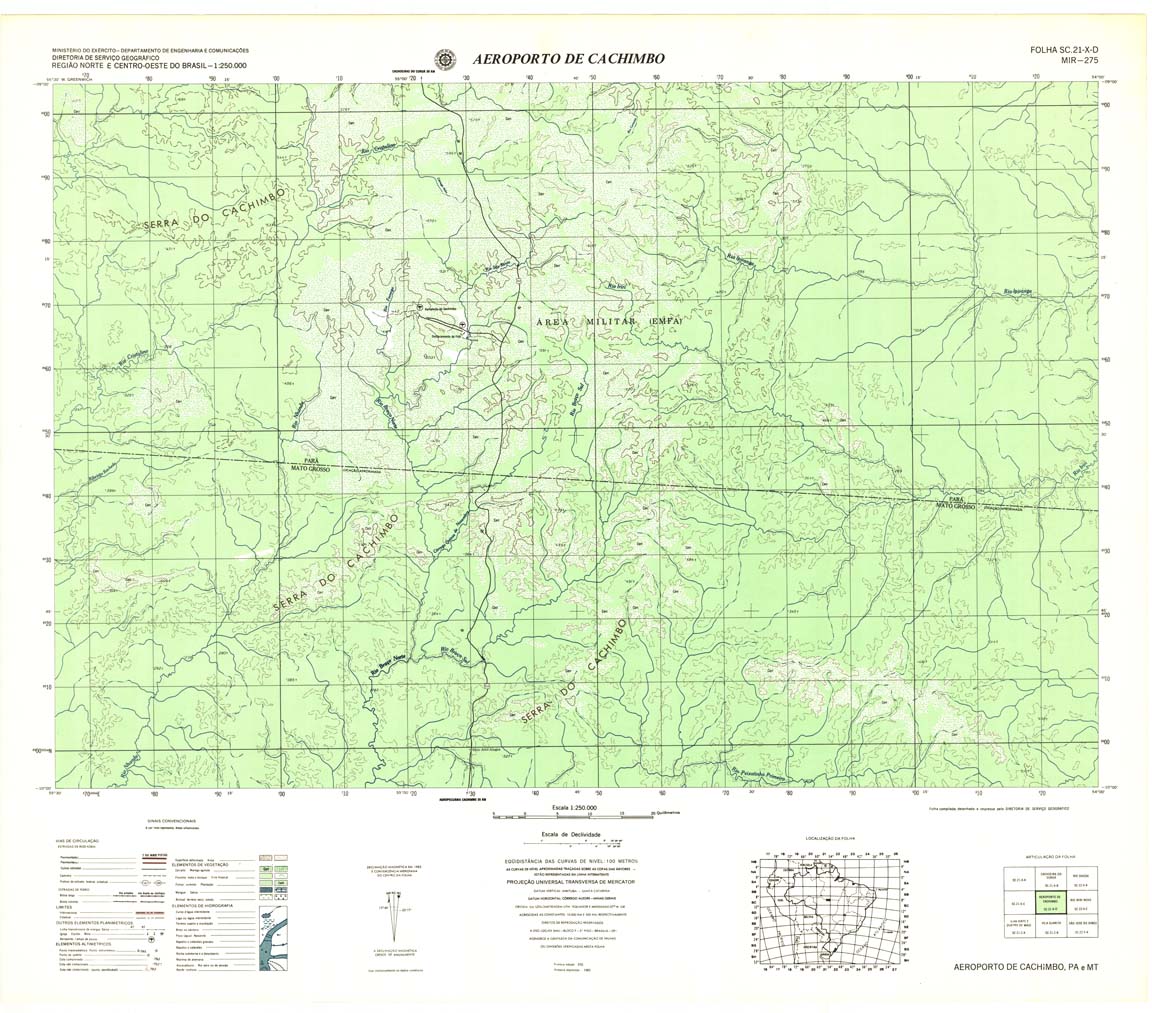
| 275 | SC-21-X-D | AEROPORTO DE CACHIMBO | DSG | Top / Radar | jpg | tif | zip | |
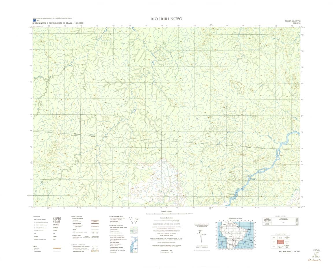
| 276 | SC-22-V-C | RIO IRIRI NOVO | IBGE | Top / Radar | jpg | tif | zip | |
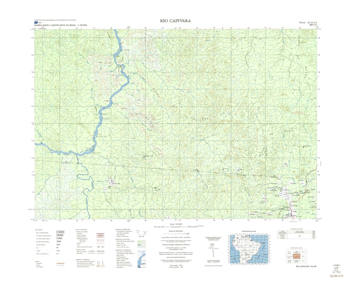
| 277 | SC-SS-V-D | RIO CAPIUARA | Top / Radar | jpg | tif | zip | ||
| 278 | SC-22-X-C | SANTANA DO ARAGUAIA | IBGE | Top / Radar | jpg | tif | zip | |
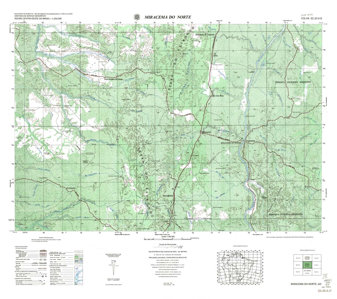
| 279 | SC-22-X-D | MIRACEMA DO NORTE | DSG | Top / Radar | jpg | tif | zip | |
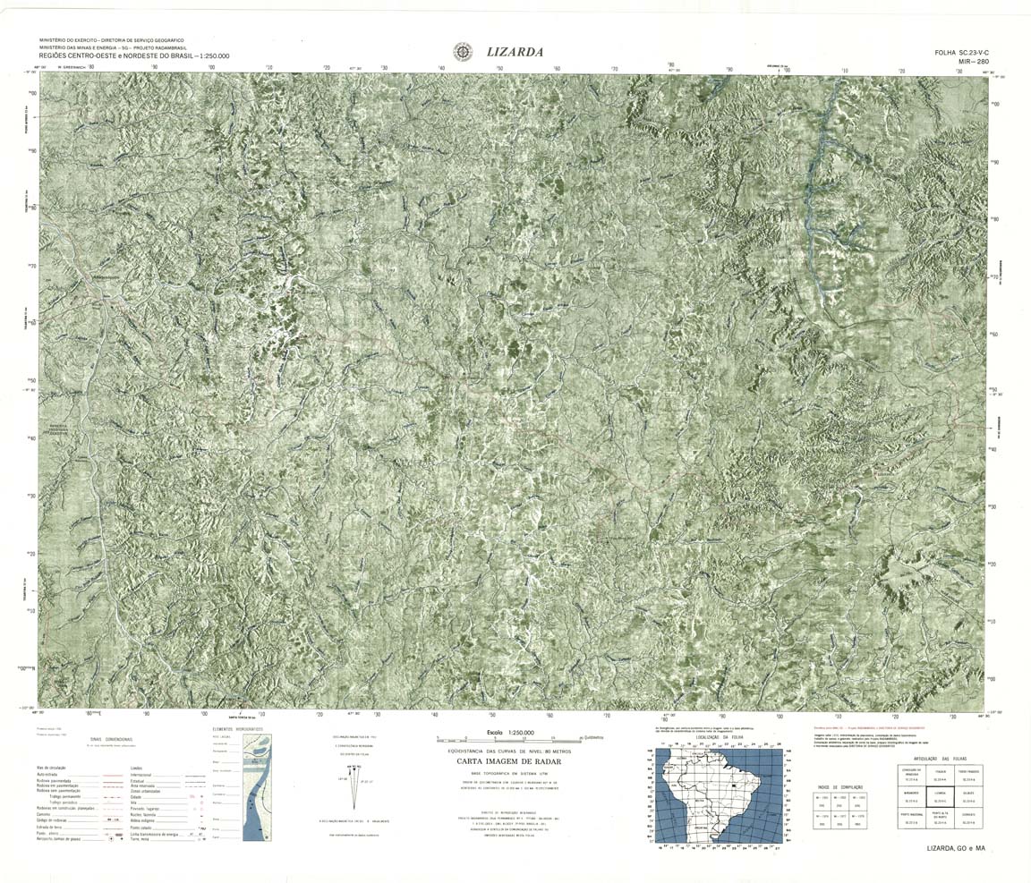
| 280 | SC-23-V-C | GILBUES / Lizarda | 1982 | Top / Radar | jpg | tif | zip | |
| 281-rcol | NONAME | jpg | tif | zip | ||||
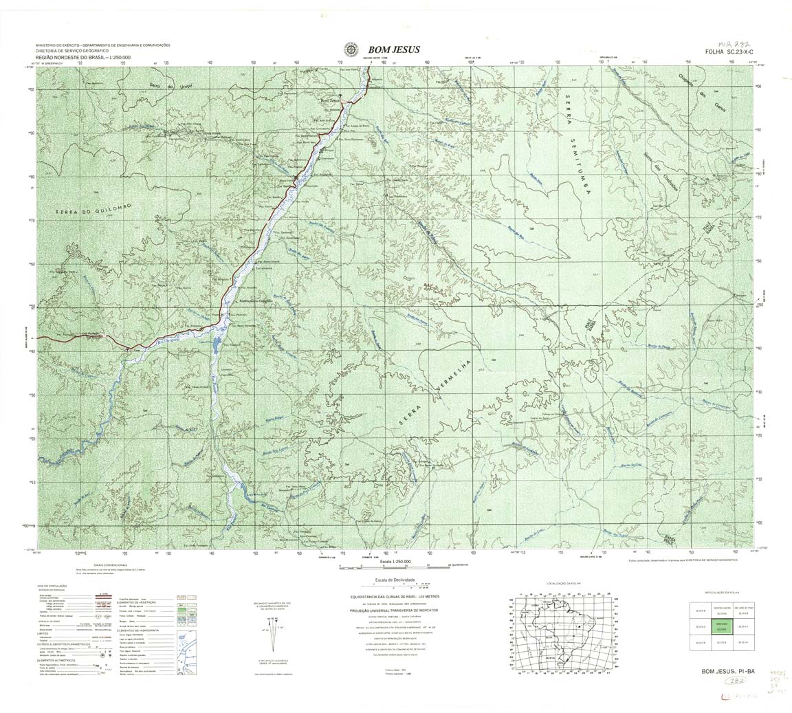
| 282 | SC-23-X-C | BOM JESUS | DSG | Top / Radar | jpg | tif | zip | |
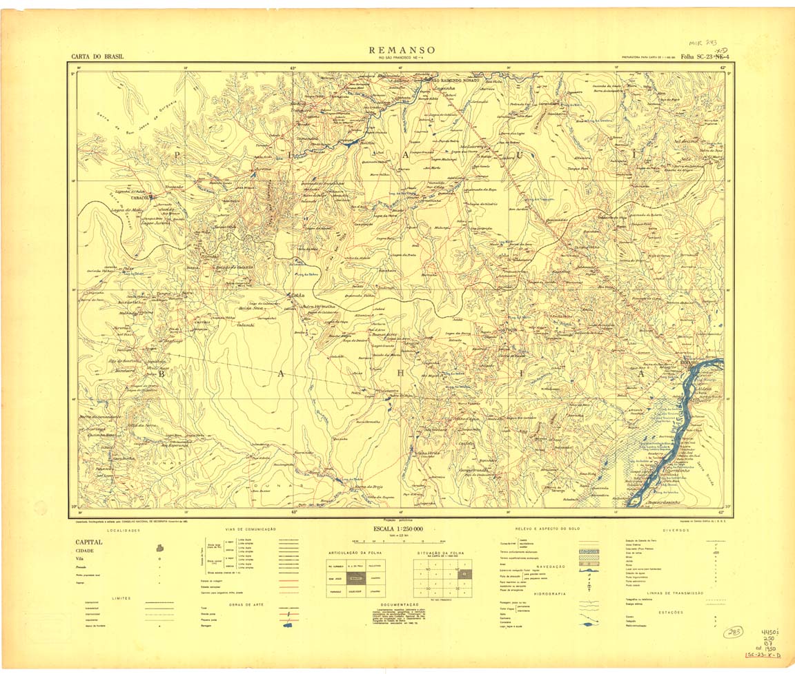
| 283 | SC-23-X-D | REMANSO | IBGE | Top / Radar | jpg | tif | zip | |
| 283(2) | SC-23-X-D | REMANSO | jpg | tif | ||||
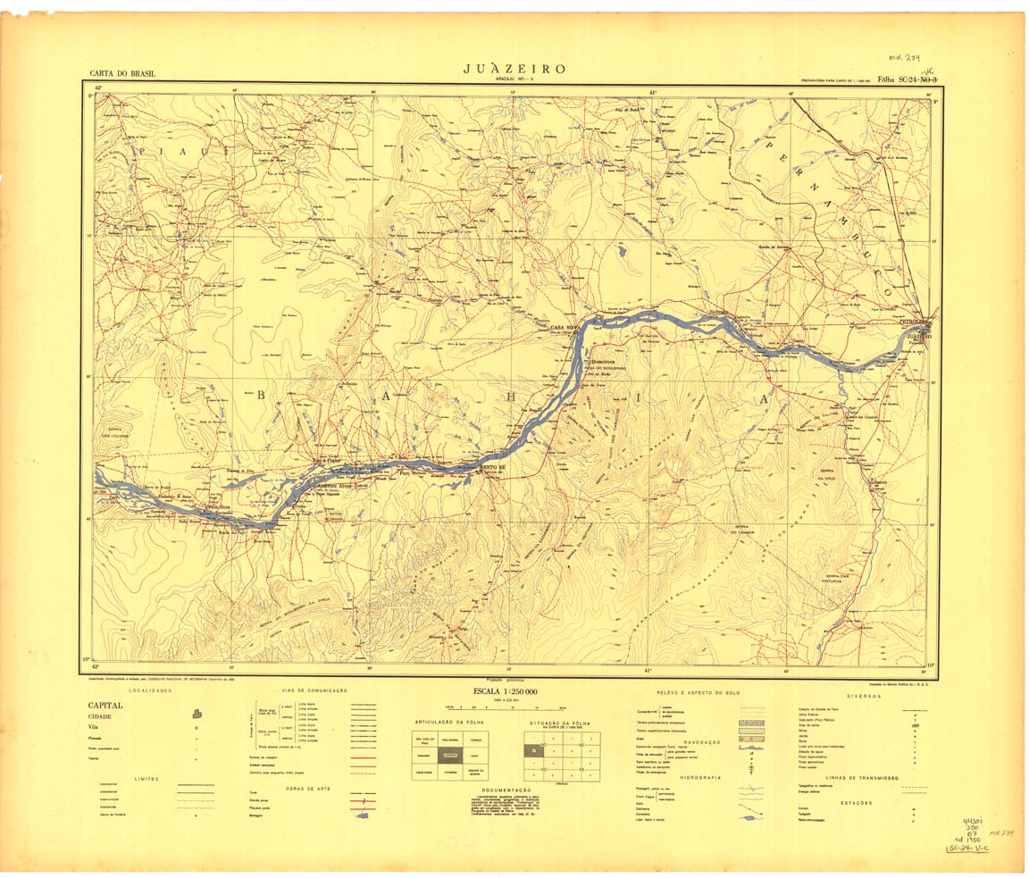
| 284 | SC-24-V-C | JUAZEIRO | IBGE | Top / Radar | jpg | tif | zip | |
| 285 | SC-24-V-D | UAUA | IBGE | Top / Radar | jpg | tif | zip | |
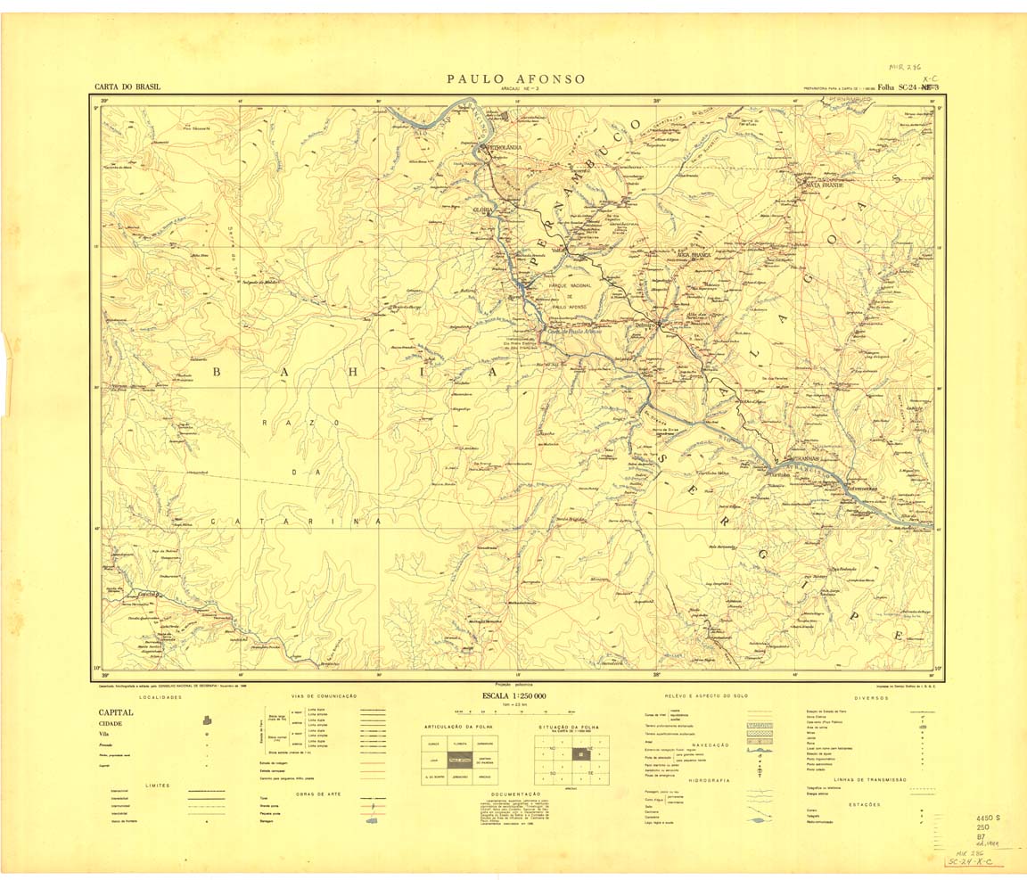
| 286 | SC-24-X-C | PAULO AFONSO | IBGE | Top / Radar | jpg | tif | zip | |
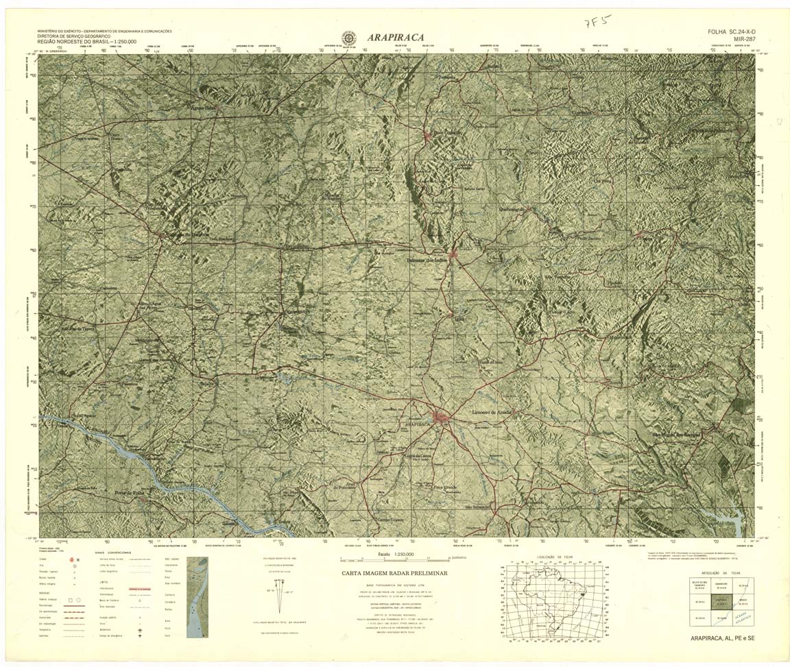
| 287 | SC-24-X-D | ARAPIRACA | DSG | Top / Radar | jpg | tif | zip | |
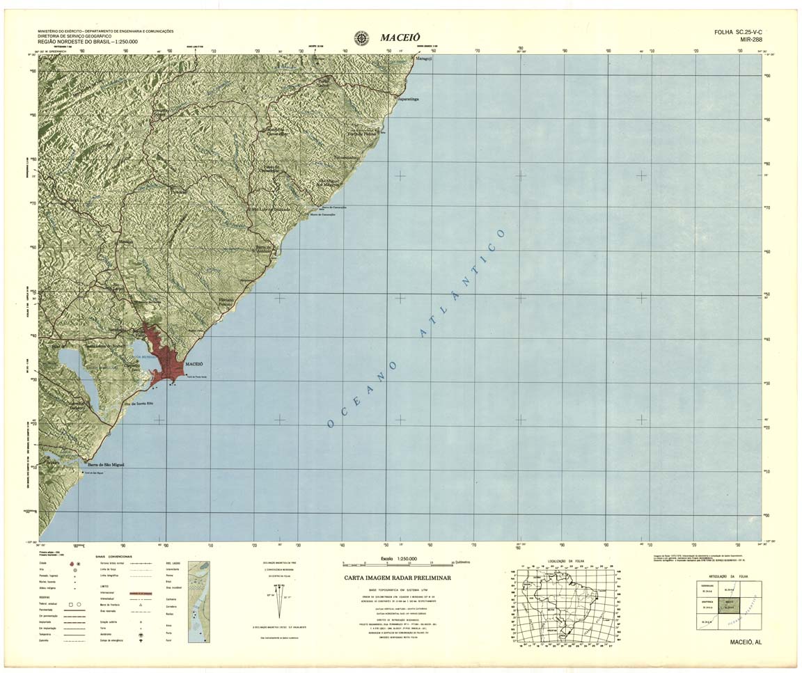
| 288 | SC-25-V-C | MACEIO | DSG | Top / Radar | jpg | tif | zip | |
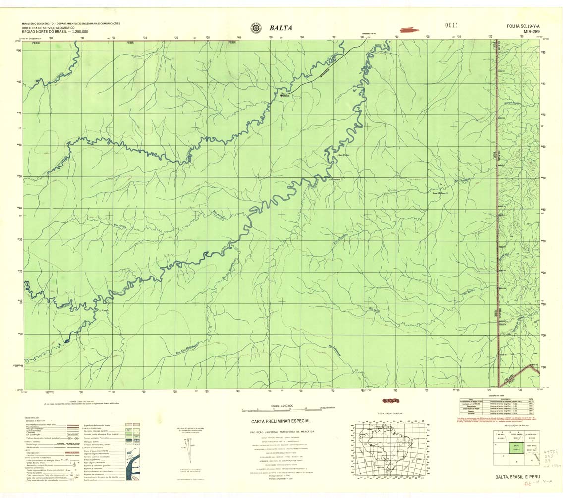
| 289 | SC-19-Y-A | BALTA | Top / Radar | jpg | tif | zip | ||
| 290 | SC-19-Y-B | ASSIS BRASIL | DSG | Top / Radar | jpg | tif | zip | |
| 291 | SC-19-Z-A | XAPURI E BRASILEIA | DSG | Top / Radar | jpg | tif | zip | |
| 292 | SC-19-Z-B | PLACIDO DE CASTRO | DSG | Top / Radar | jpg | tif | zip | |
| 293 | SC-20-Y-A | GUAJARA-MIRIM | DSG | Top / Radar | jpg | tif | zip | |
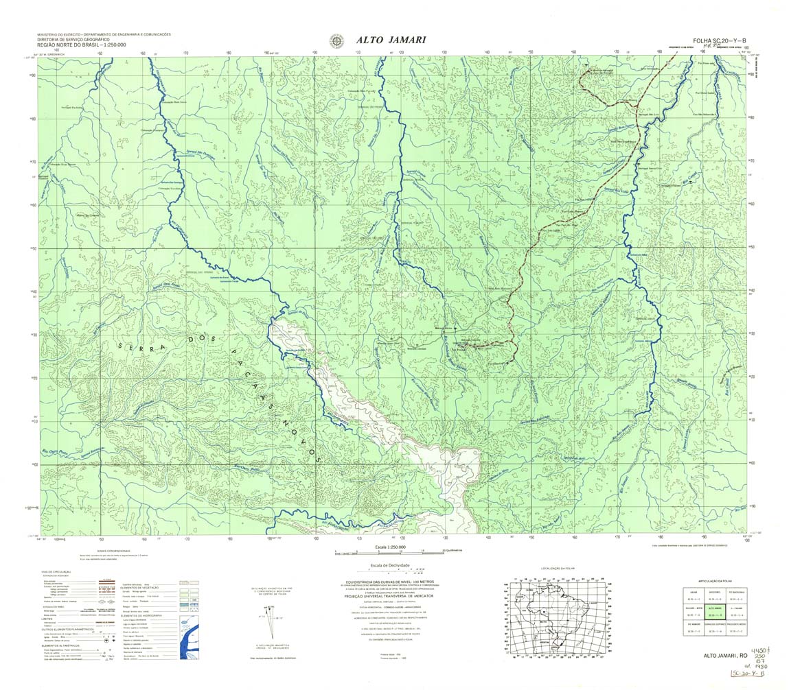
| 294 | SC-20-Y-B | ALTO JAMARI | DSG | Top / Radar | jpg | tif | zip | |
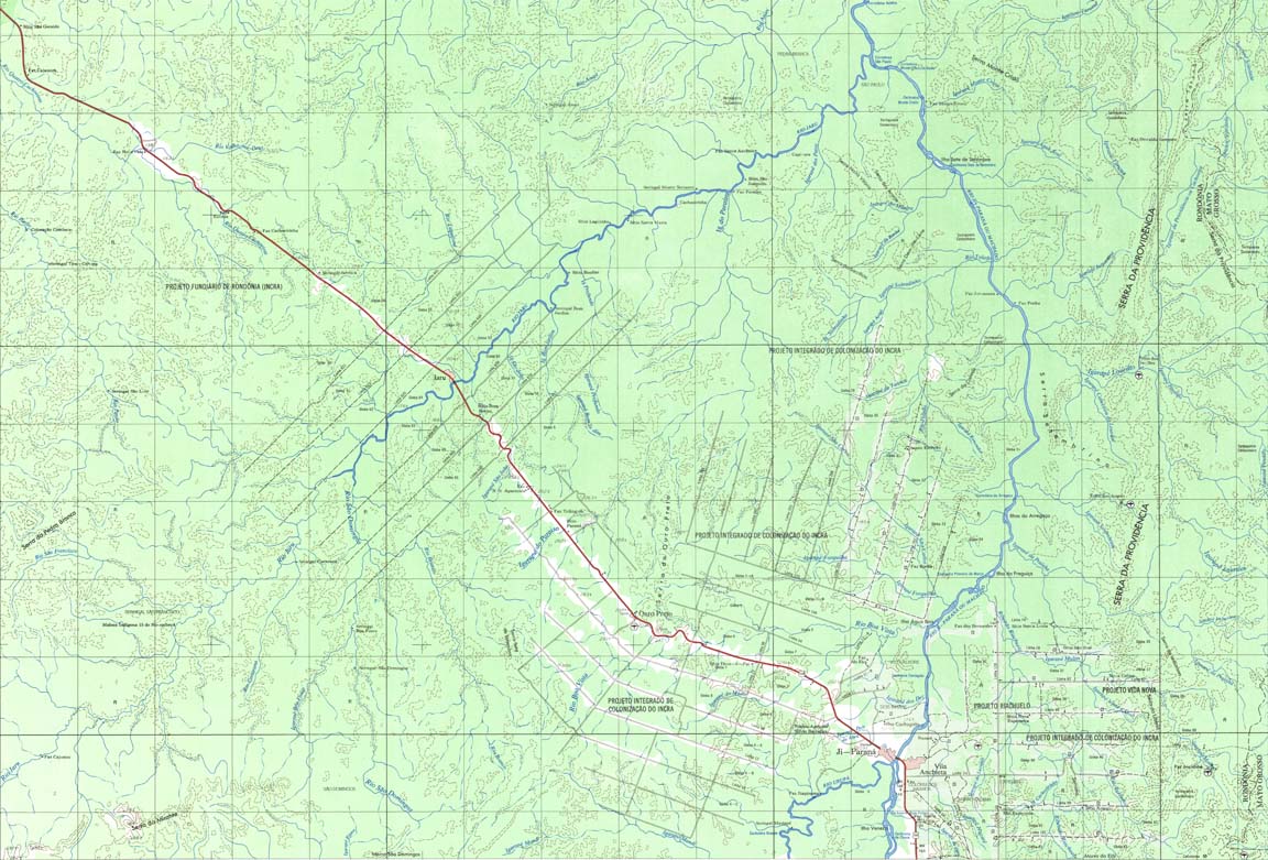
| 295 | SC-20-Z-A | JI-PARANA | DSG | Top / Radar | jpg | tif | zip | |
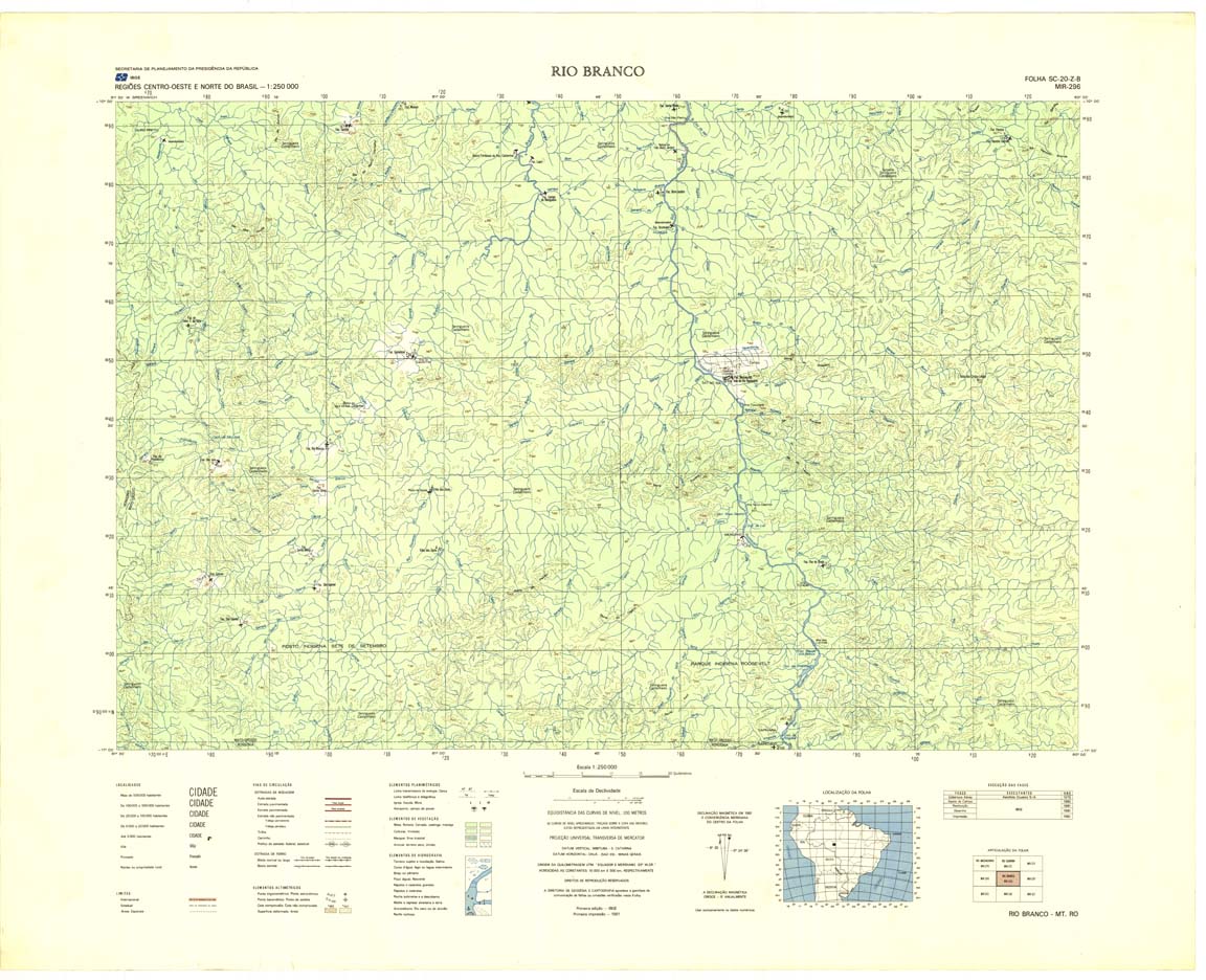
| 296 | SC-20-Z-B | RIO BRANCO | IBGE | Top / Radar | jpg | tif | zip | |
| 297 | SC-21-Y-A | ARIPUANA | DSG | Top / Radar | jpg | tif | zip | |
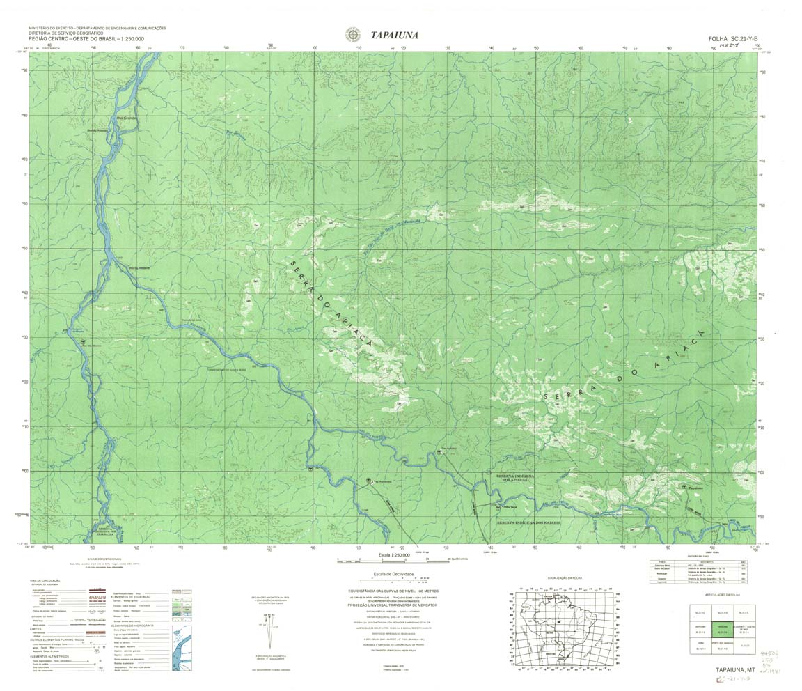
| 298 | SC-21-Y-B | TAPAIUNA | DSG | Top / Radar | jpg | tif | zip | |
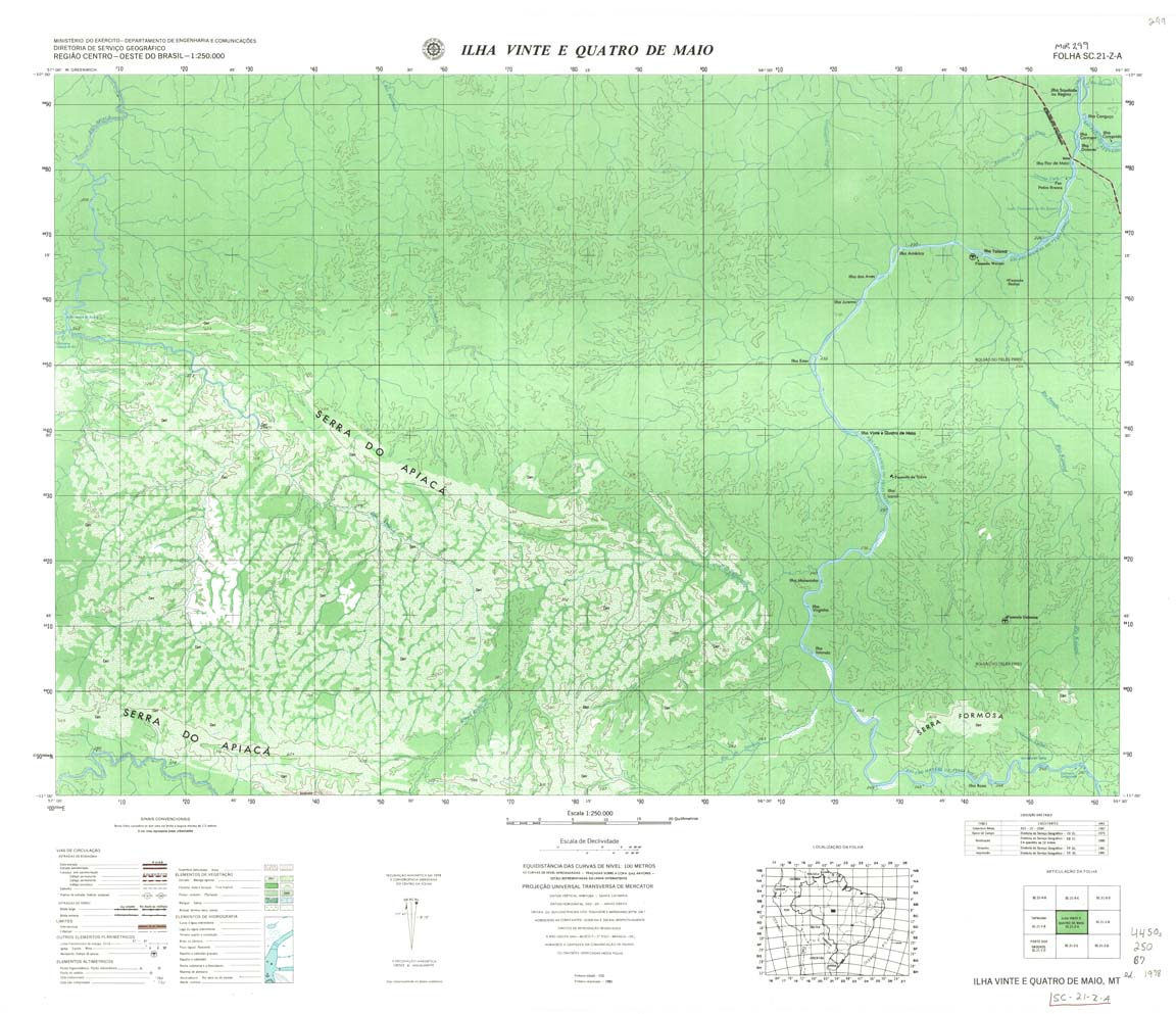
| 299 | SC-21-Z-A | ILHA VINTE E QUATRO DE MAIO | DSG | Top / Radar | jpg | tif | zip | |
| 299(2) | SC-21-Z-A | ILHA VINTE E QUATRO DE MAIO= | jpg | tif | ||||
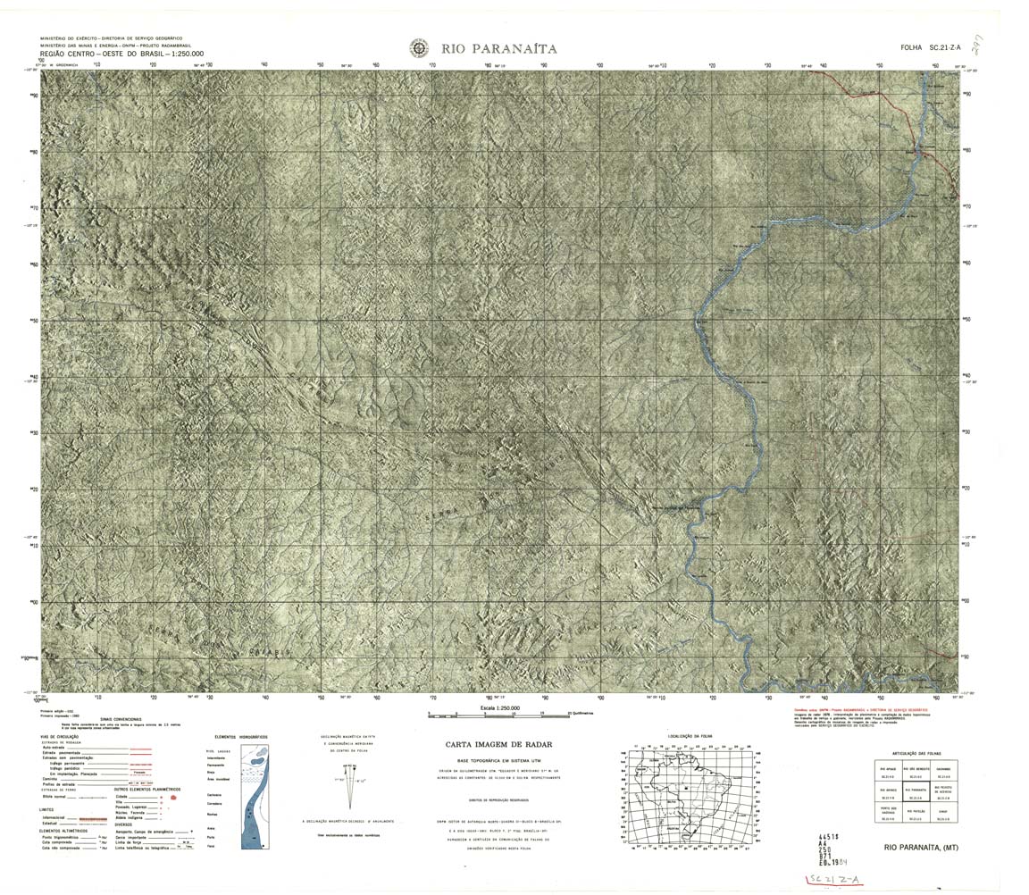
| 299A | SC-21-Z-A | RIO PARANAITA | jpg | tif | ||||
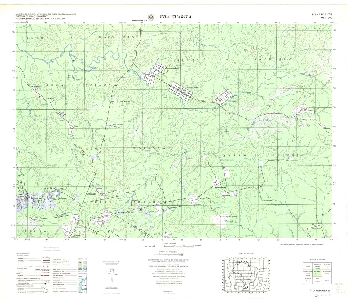
| 300 | SC-21-Z-B | VILA GUARITA | DSG | Top / Radar | jpg | tif | zip | |
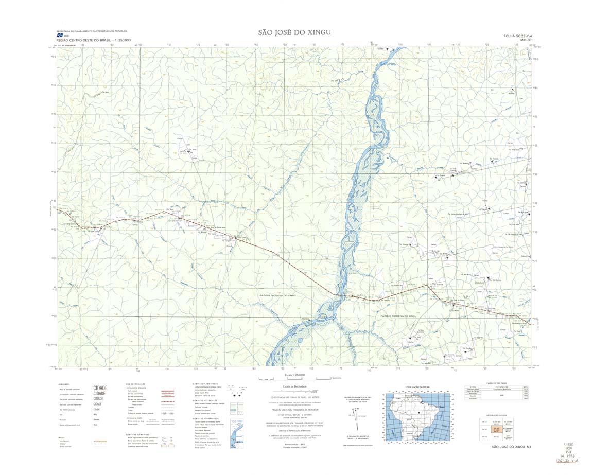
| 301 | SC-22-Y-A | SAO JOSE DO XINGU | IBGE | Top / Radar | jpg | tif | zip | |
| 302 | SC-22-Y-B | RIO COMANDANTE FONTOURA | IBGE | Top / Radar | jpg | tif | zip | |
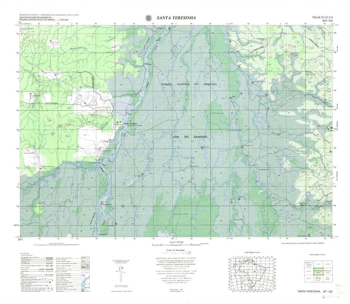
| 303 | SC-22-Z-A | Santa Teresinha | 1983 | Top / Radar | jpg | tif | zip | |
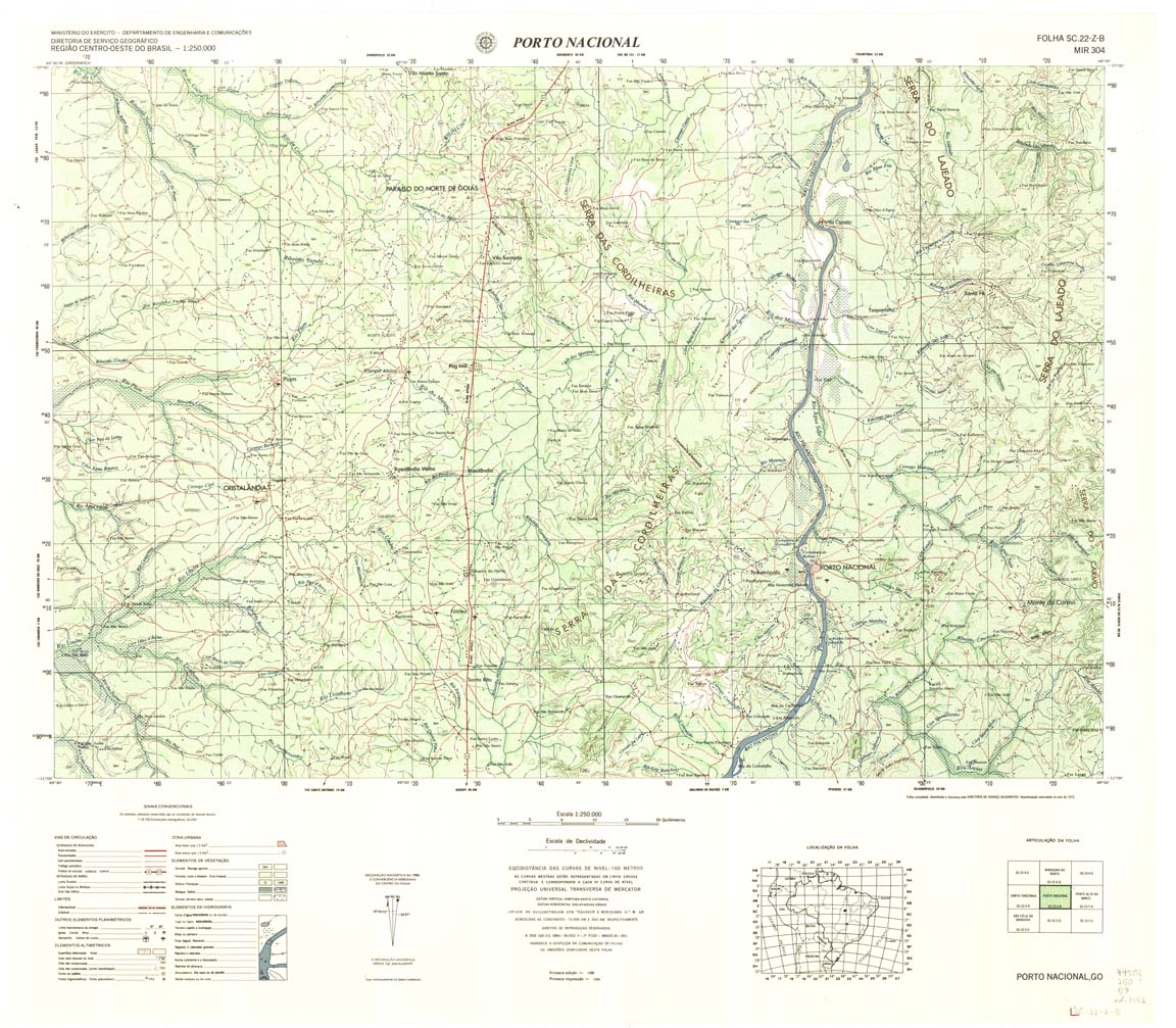
| 304 | SC-22-Z-B | PORTO NACIONAL | DSG | Top / Radar | jpg | tif | zip | |
| 305 | SC-23-Y-A | PONTE ALTA DO NORTE | DSG | Top / Radar | jpg | tif | zip | |
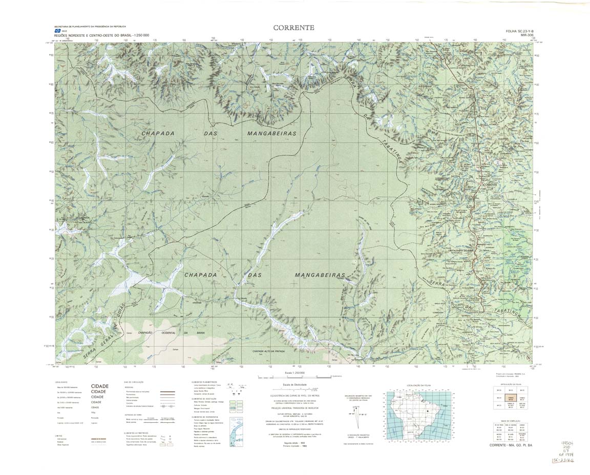
| 306 | SC-23-Y-B | CORRENTE | IBGE | Top / Radar | jpg | tif | zip | |
| 307 | SC-23-Z-A | CURIMATA | IBGE | Top / Radar | jpg | tif | zip | |
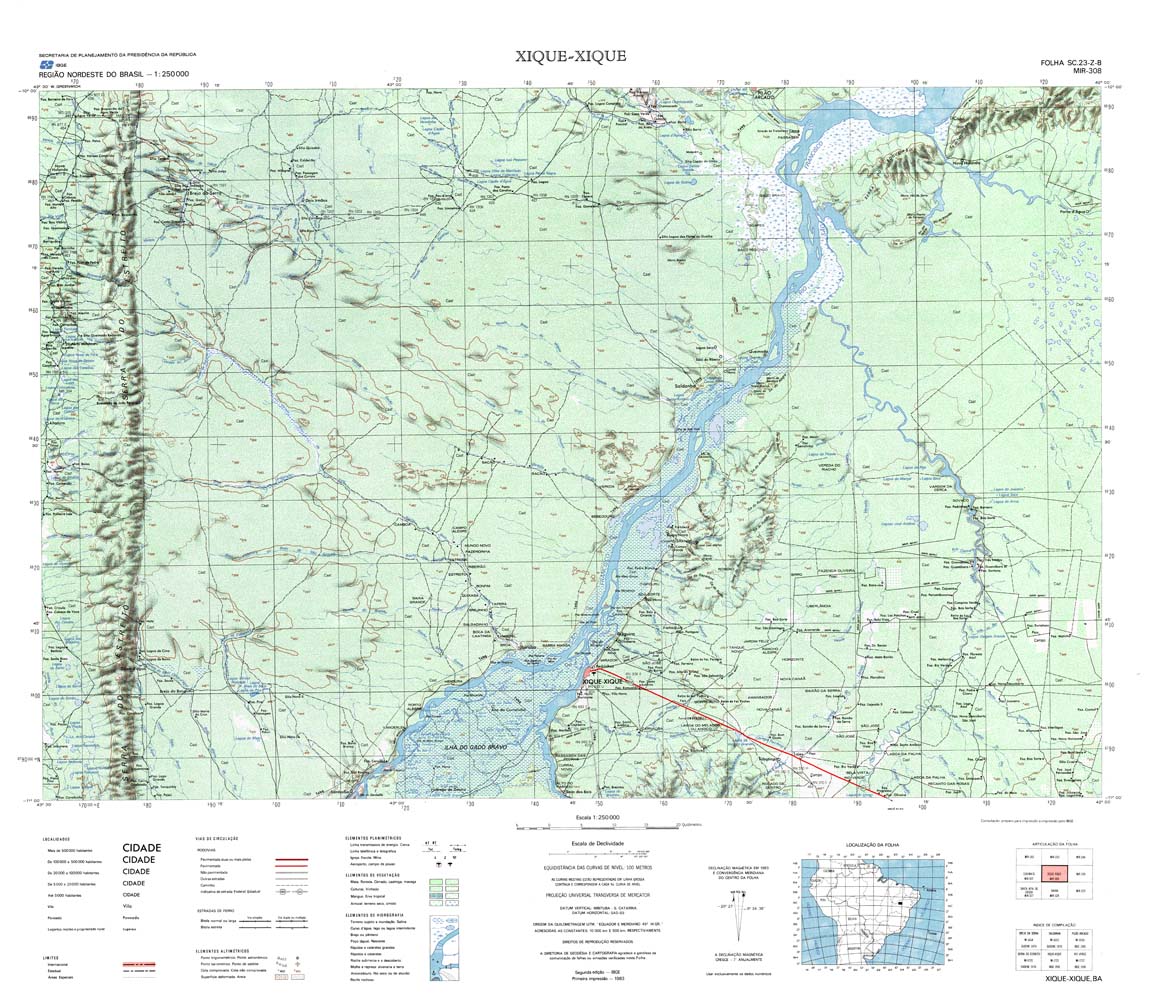
| 308 | SC-23-Z-B | XIQUE XIQUE | IBGE | Top / Radar | jpg | tif | zip | |
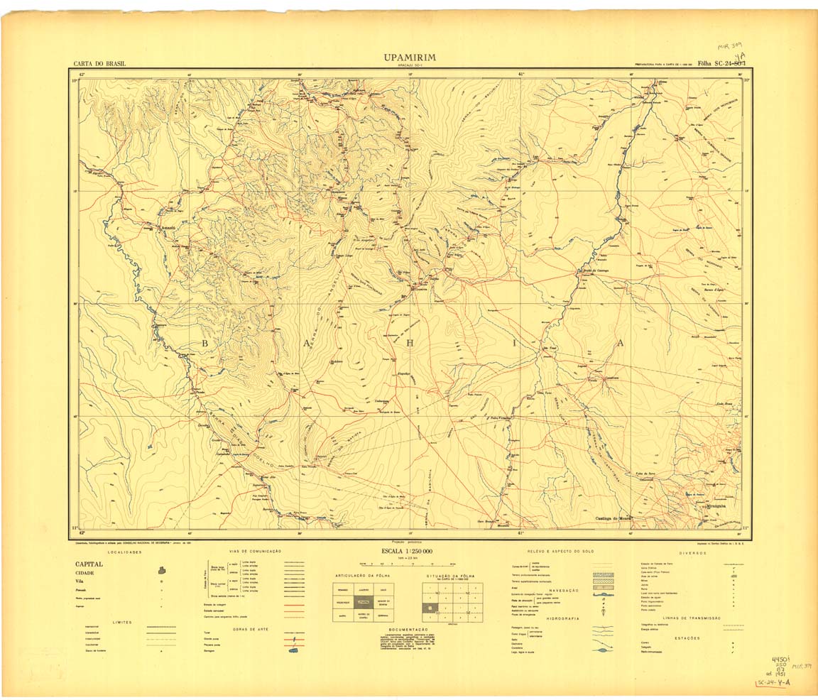
| 309 | SC-24-Y-A | UPAMIRIM | jpg | tif | zip | |||
| 309(2) | SC-24-Y-A | UPAMIRIM | IBGE | Top / Radar | jpg | tif | ||
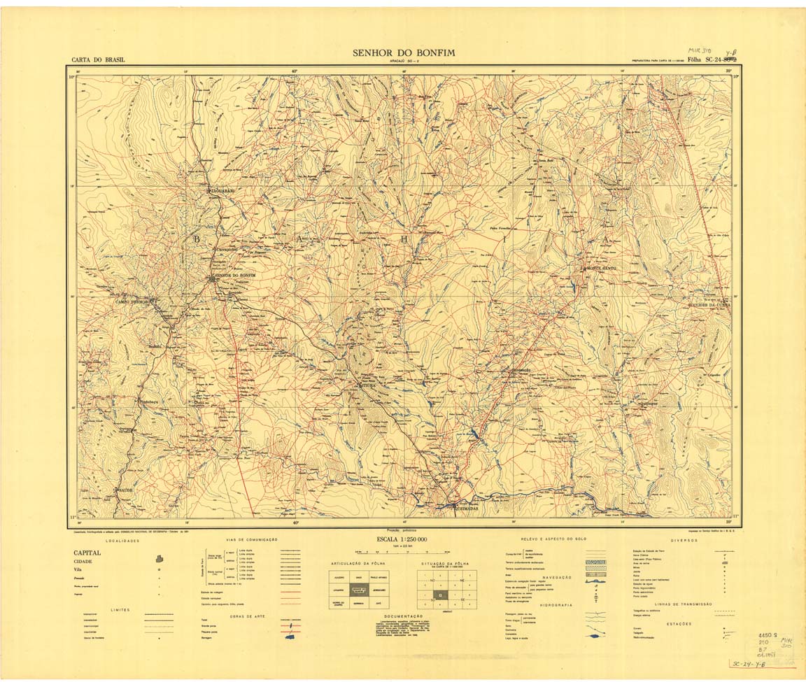
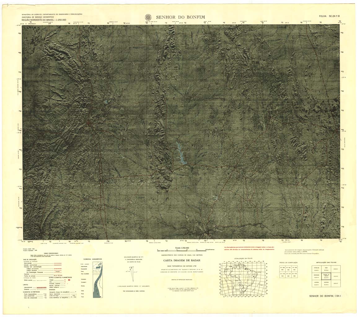
| 310-8bit | SC-24-Y-B | SENHOR DO BONFIM | IBGE | Top / Radar | jpg | tif | zip | |
| 310-rcol | SC-24-Y-B | SENHOR DO BONFIM | jpg | tif | zip | |||
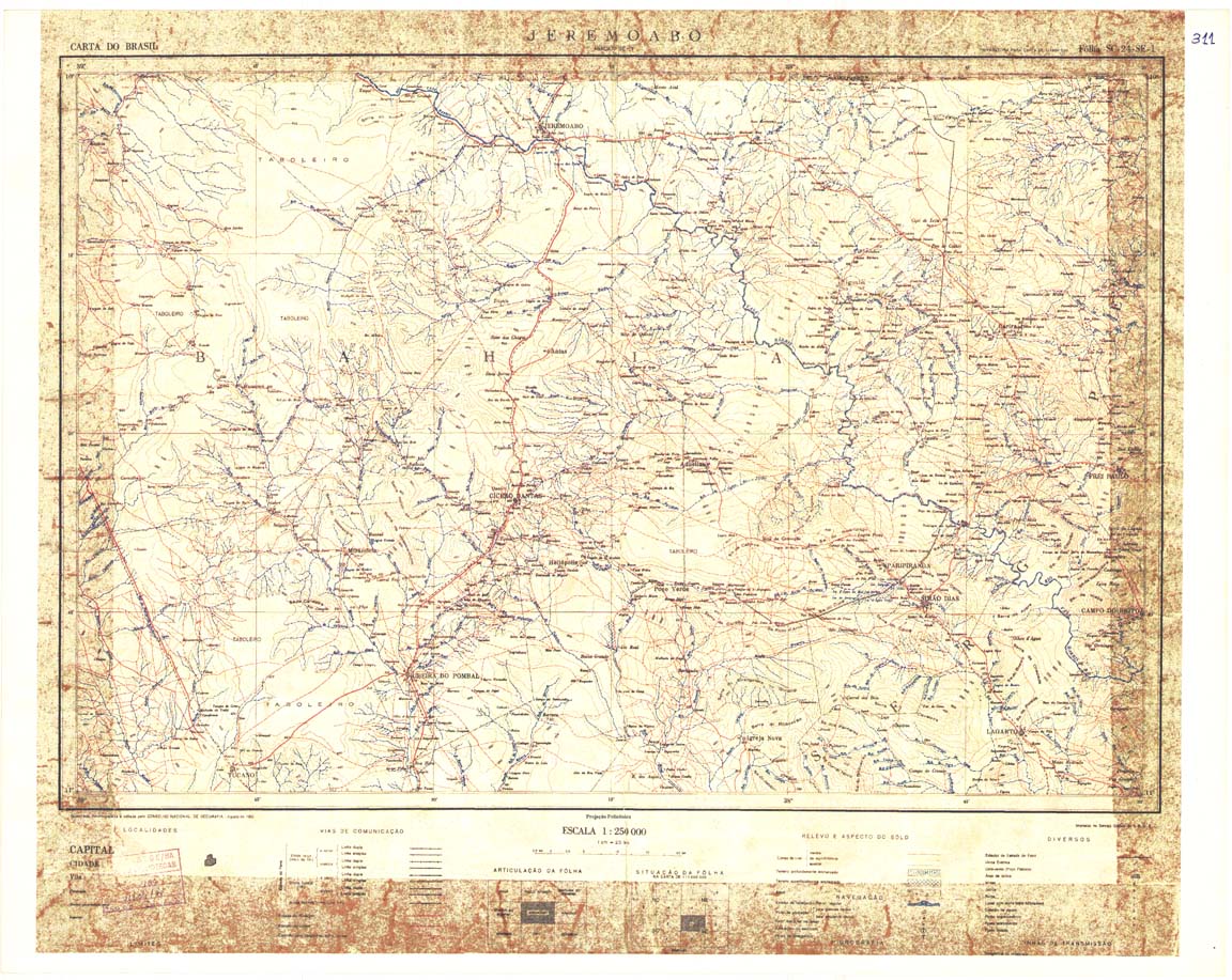
| 311 | SC-24-Z-A | JEREMOABO | IBGE | Top / Radar | jpg | tif | zip | |
| 312 | SC-24-Z-B | ARACAJU | IBGE | Top / Radar | jpg | tif | zip | |
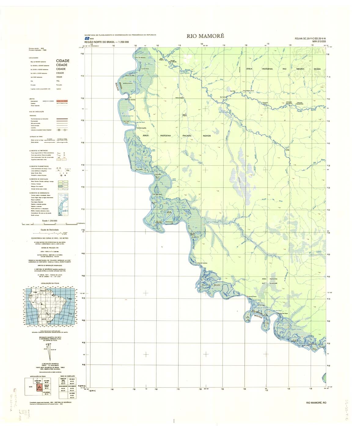
| 313_333 | SC-20-Y-C | RIO MAMORE | IBGE | Top / Radar | jpg | tif | zip | |
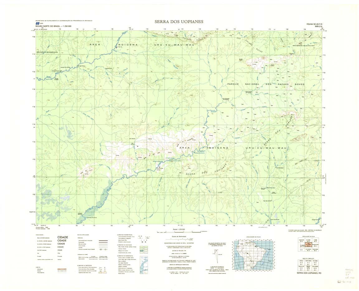
| 314 | SC-20-Y-D | SERRA DOS UOPIANES | IBGE | Top / Radar | jpg | tif | zip | |
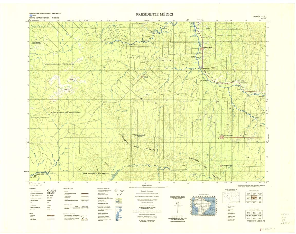
| 315 | SC-20-Z-C | PRESIDENTE MEDICI | IBGE | Top / Radar | jpg | tif | zip | |
| 316 | SC-20-Z-D | CACOAL | IBGE | Top / Radar | jpg | tif | zip | |
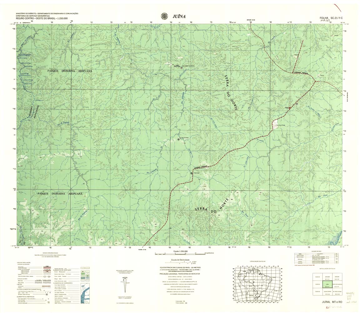
| 317 | SC-21-Y-C | JUINA | Top / Radar | jpg | tif | zip | ||
| 318 | SC-21-Y-D | PORTO DOS GAUCHOS | DSG | Top / Radar | jpg | tif | zip | |
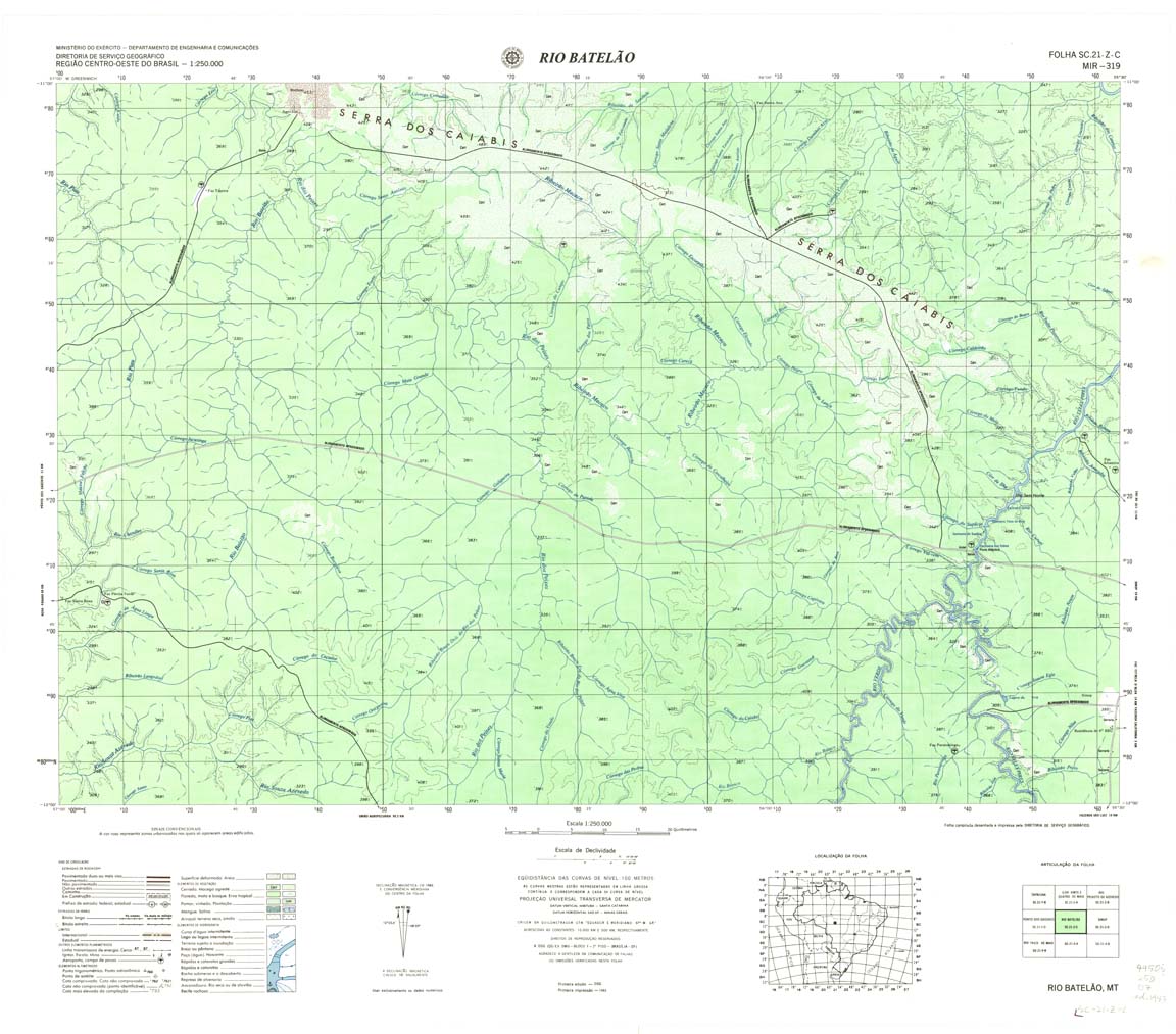
| 319 | SC-21-Z-C | RIO PATELAO | DSG | Top / Radar | jpg | tif | zip | |
| 320 | SC-21-Z-D | SINOP | DSG | Top / Radar | jpg | tif | zip | |
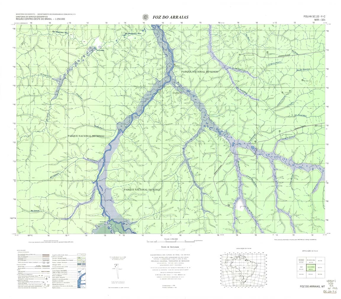
| 321 | SC-22-Y-C | FOZ DO ARRAIAS | DSG | Top / Radar | jpg | tif | zip | |
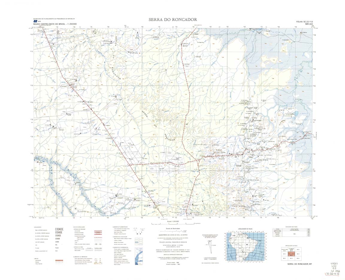
| 322 | SC-22-Y-D | SERRA DO RONCADOR | IBGE | Top / Radar | jpg | tif | zip | |
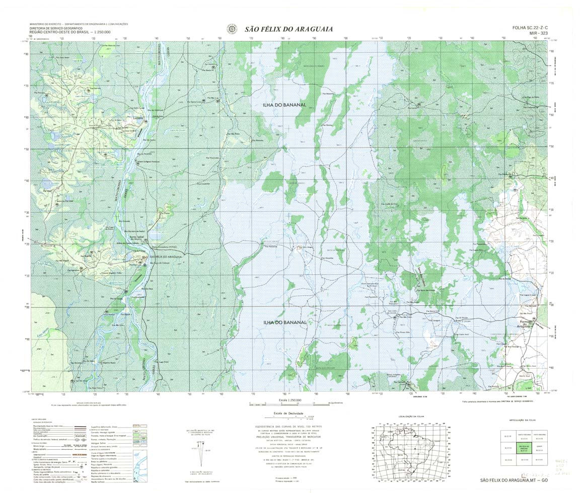
| 323 | SC-22-Z-C | SAO FELIX DO ARAGUAIA | DSG | Top / Radar | jpg | tif | zip | |
| 324 | SC-22-Z-D | Gurupi | 1980 | Top / Radar | jpg | tif | zip | |
| 325 | SC-23-Y-C | DIANOPOLIS | DSG | Top / Radar | jpg | tif | zip | |
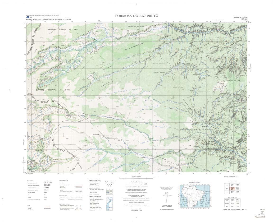
| 326 | SC-23-Y-D | FORMOSA RIO PRETO | IBGE | Top / Radar | jpg | tif | zip | |
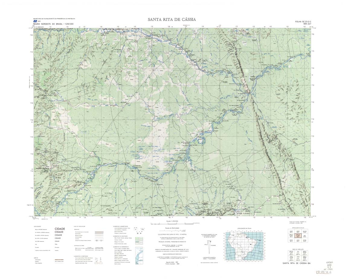
| 327 | SC-23-Z-C | SANTA RITA CASSIA | IBGE | Top / Radar | jpg | tif | zip | |
| 327(2) | SC-23-Z-C | SANTA RITA CASSIA | jpg | tif | ||||
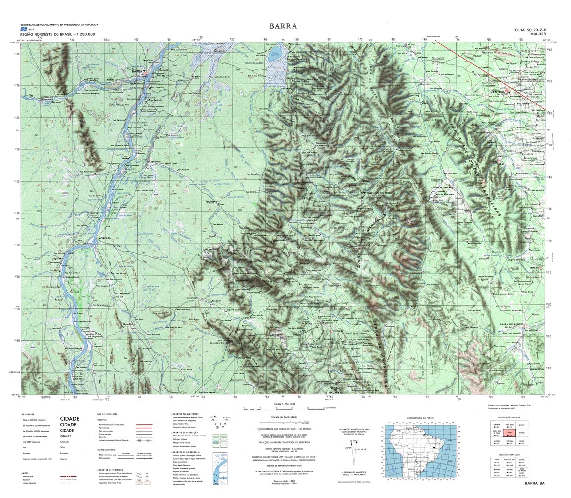
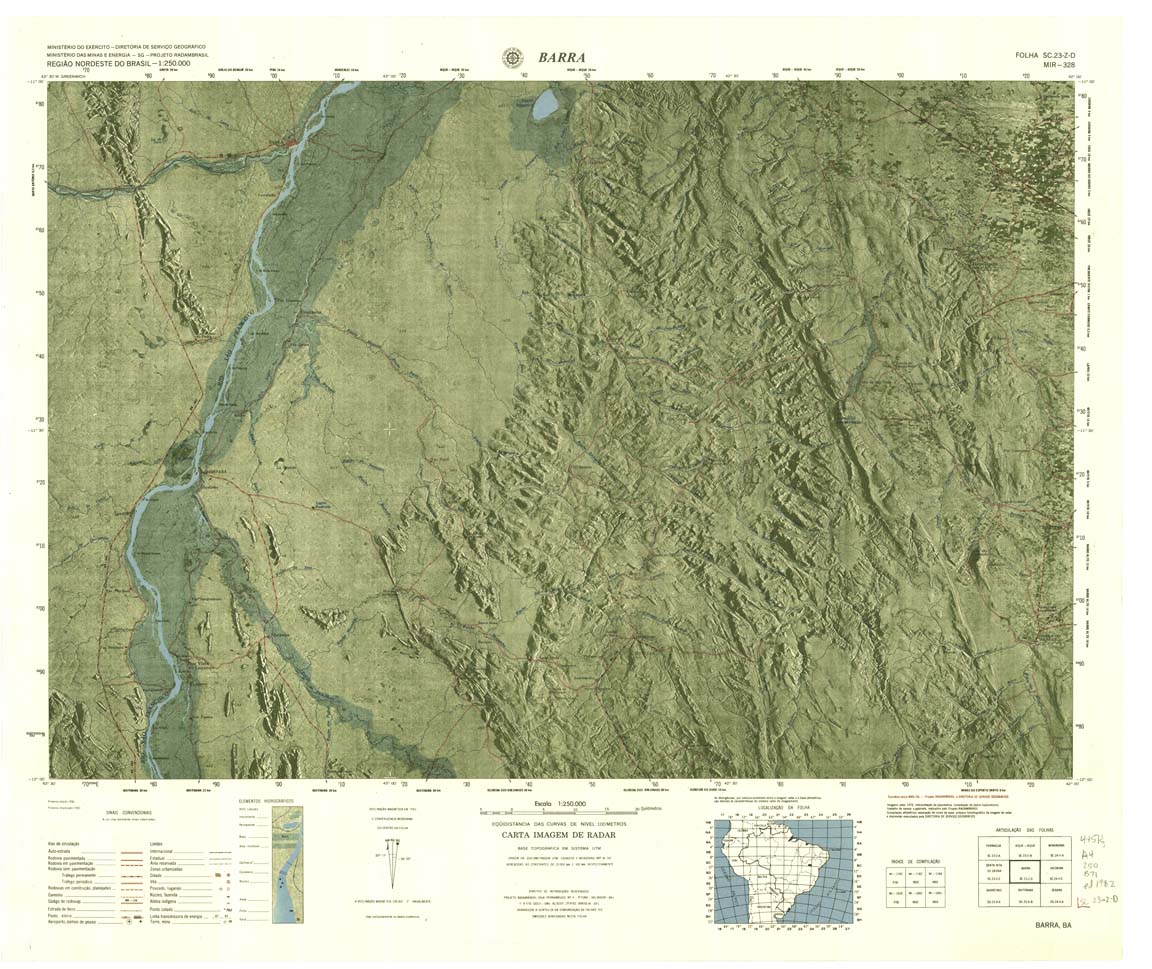
| 328-4bit | SC-23-Z-D | BARRA | IBGE | Top / Radar | jpg | tif | zip | |
| 328-rcol | SC-23-Z-D | BARRA | jpg | tif | zip | |||
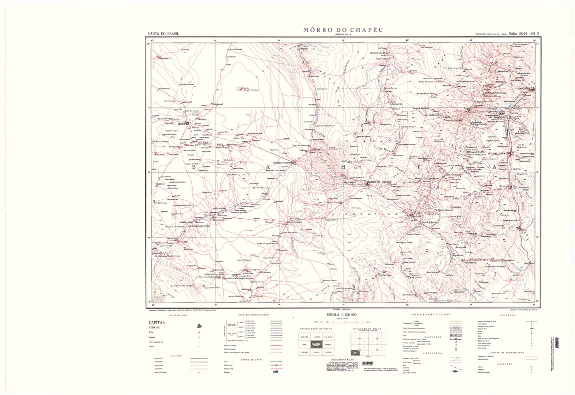
| 329_509 | SC-24-Y-C | MORRO DO CHAPEU | IBGE | Top / Radar | jpg | tif | zip | |
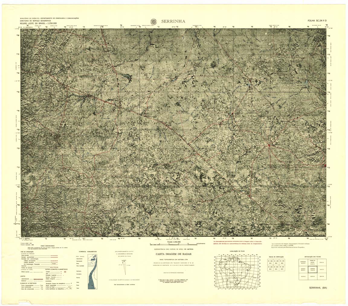
| 330 | SC-24-Y-D | SERRINHA | Top / Radar | jpg | tif | zip | ||
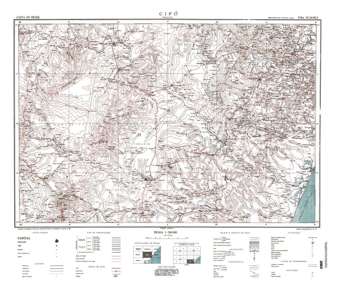
| 331 | SC-24-Z-C | CIPO | IBGE | Top / Radar | jpg | tif | zip | |
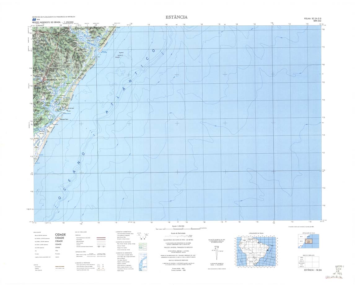
| 332 | SC-24-Z-D | ESTANCIA | IBGE | Top / Radar | jpg | tif | zip | |
| 313_333 | SD-20-V-A | RIO MAMORE | IBGE | Top / Radar | jpg | tif | zip | |
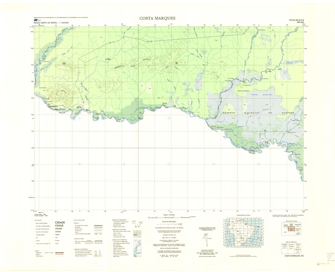
| 334 | SD-20-V-B | COSTA MARQUES | IBGE | Top / Radar | jpg | tif | zip | |
| 335 | SD-20-X-A | PEDRAS NEGRAS | IBGE | Top / Radar | jpg | tif | zip | |
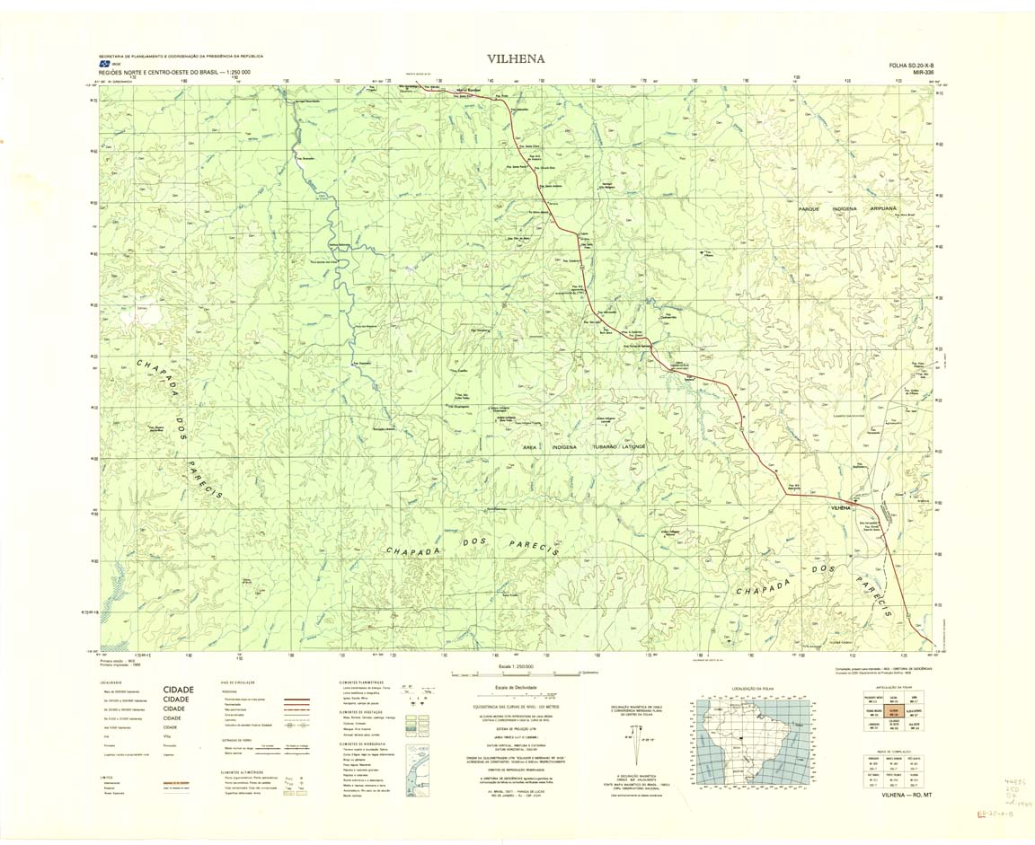
| 336 | SD-20-X-B | VILHENA | IBGE | Top / Radar | jpg | tif | zip | |
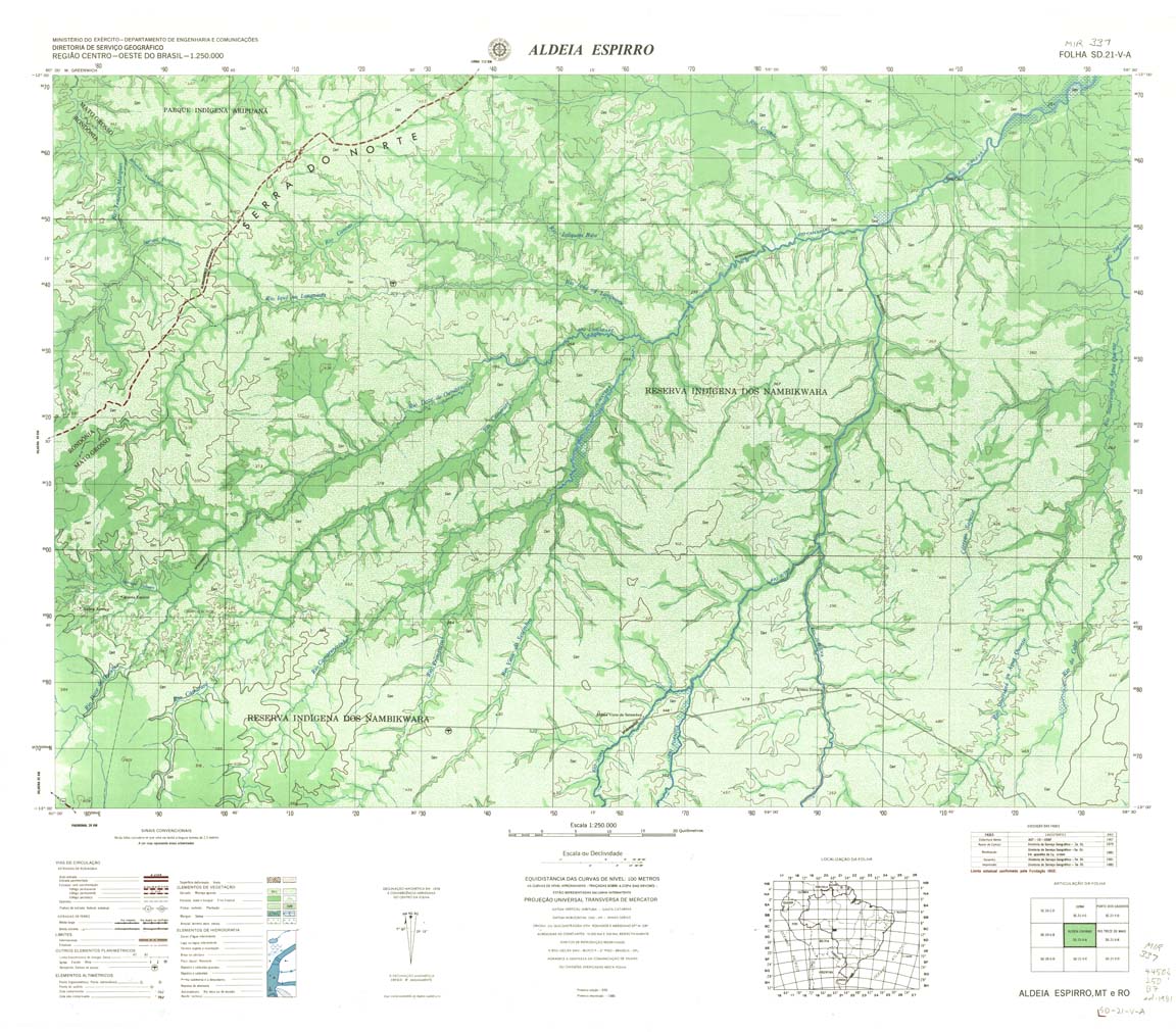
| 337 | SD-21-V-A | ALDEIA ESPIRRO | DSG | Top / Radar | jpg | tif | zip | |
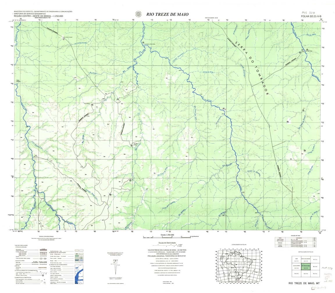
| 338 | SD-21-V-B | RIO TREZE DE MAIO | DSG | Top / Radar | jpg | tif | zip | |
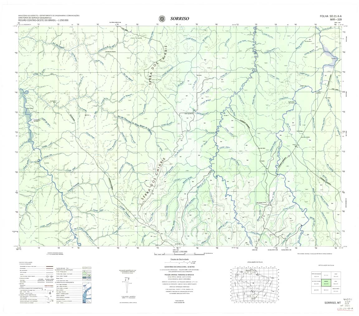
| 339 | SD-21-X-A | SORRISO | DSG | Top / Radar | jpg | tif | zip | |
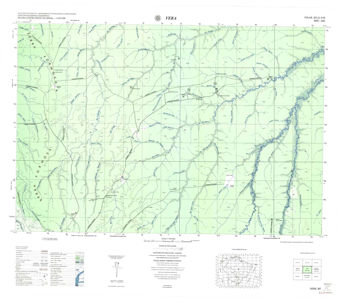
| 340 | SD-21-X-B | VERA | DSG | Top / Radar | jpg | tif | zip | |
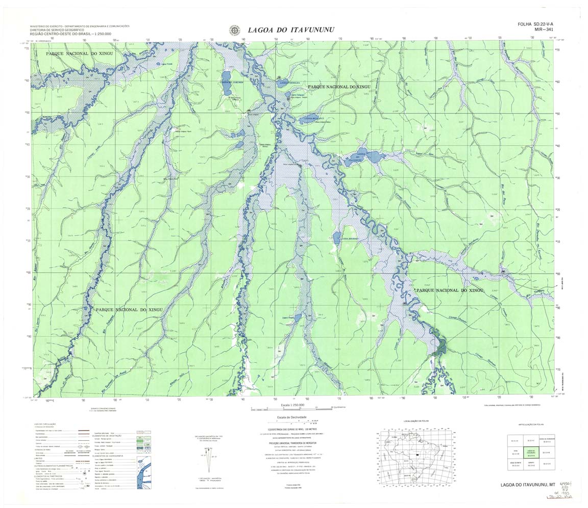
| 341 | SD-22-V-A | LAGOA ITAVUNUNU | DSG | Top / Radar | jpg | tif | zip | |
| 342 | SD-22-V-B | CASCALHEIRA | IBGE | Top / Radar | jpg | tif | zip | |
| 343 | SD-22-X-A | ARAGUACU | IBGE | Top / Radar | jpg | tif | zip | |
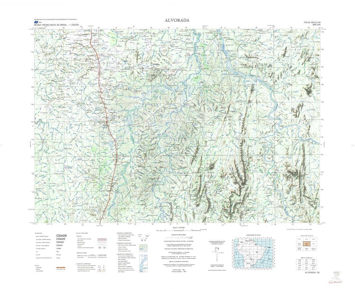
| 344 | SD-22-X-B | ALVORADA | IBGE | Top / Radar | jpg | tif | zip | |
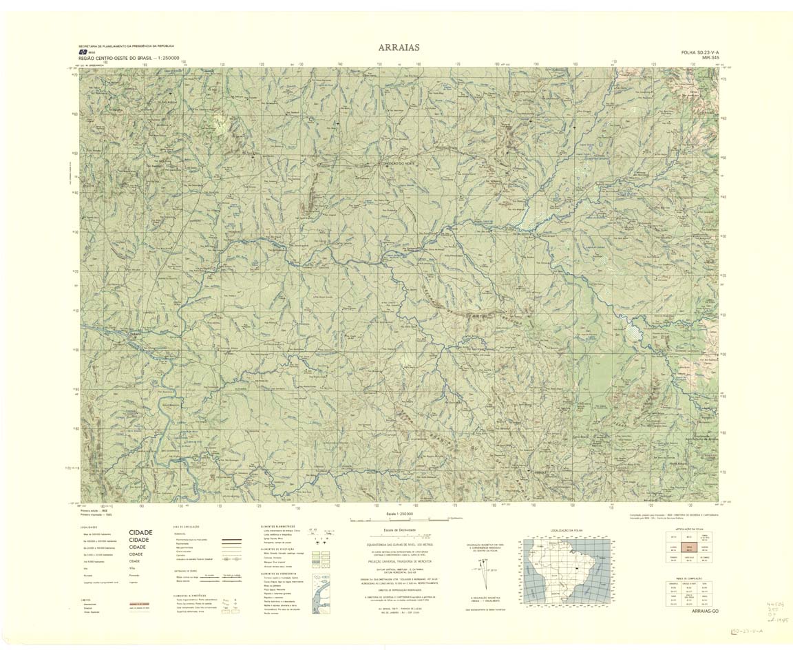
| 345 | SD-23-V-A | ARRAIAS | IBGE | Top / Radar | jpg | tif | zip | |
| 346 | SD-23-V-B | BARREIRAS | IBGE | Top / Radar | jpg | tif | zip | |
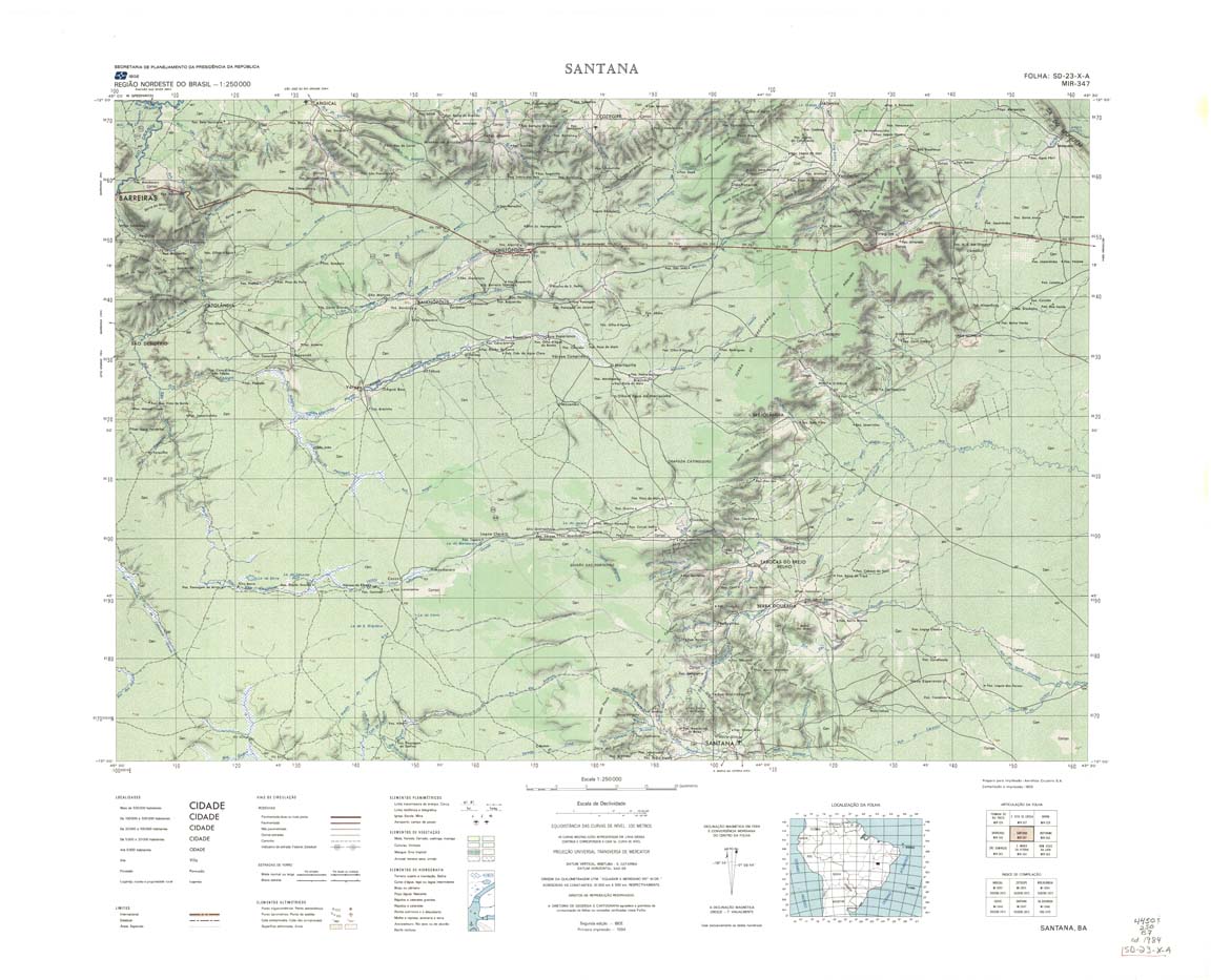
| 347 | SD-23-X-A | SANTANA | IBGE | Top / Radar | jpg | tif | zip | |
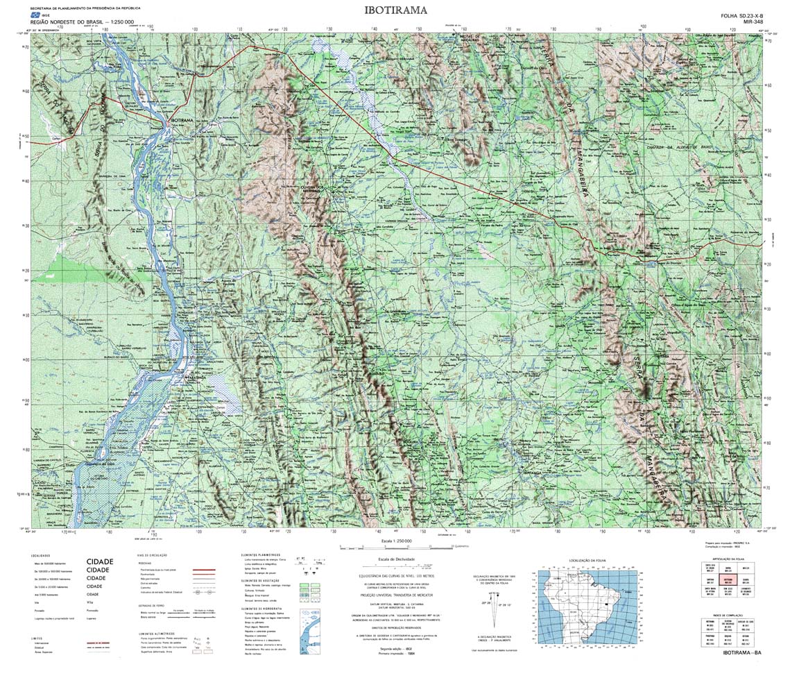
| 348 | SD-23-X-B | IBOTIRAMA | IBGE | Top / Radar | jpg | tif | zip | |
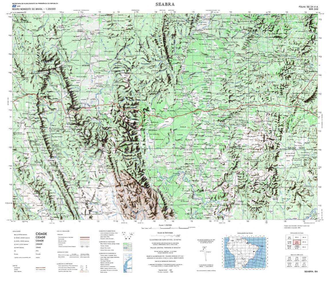
| 349 | SD-24-V-A | SEABRA | IBGE | Top / Radar | jpg | tif | zip | |
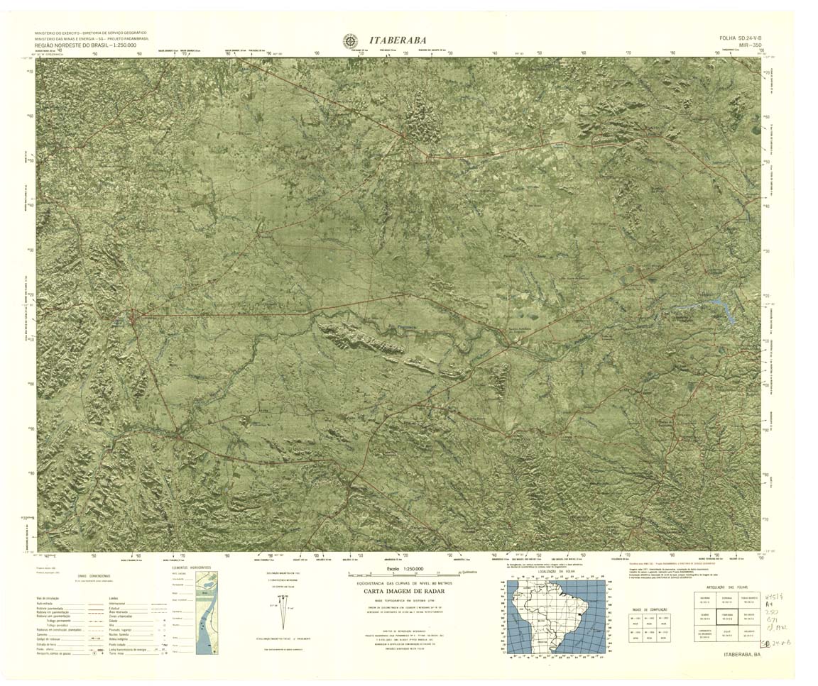
| 350-4bit | SD-24-V-B | SANTO ANTONIO DE JESUS | IBGE | Top / Radar | jpg | tif | zip | |
| 350-rcol | SD-24-V-B | SANTO ANTONIO DE JESUS | jpg | tif | zip | |||
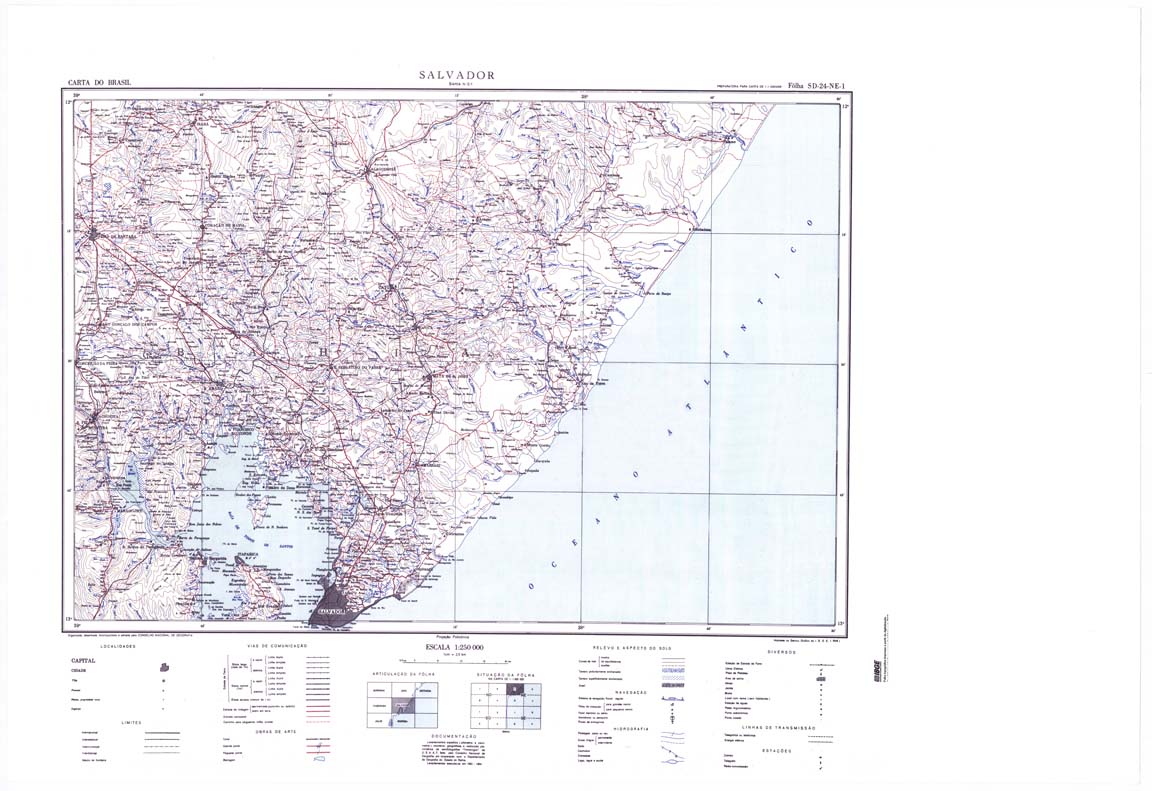
| 351 | SD-24-X-A | SALVADOR | IBGE | Top / Radar | jpg | tif | zip | |
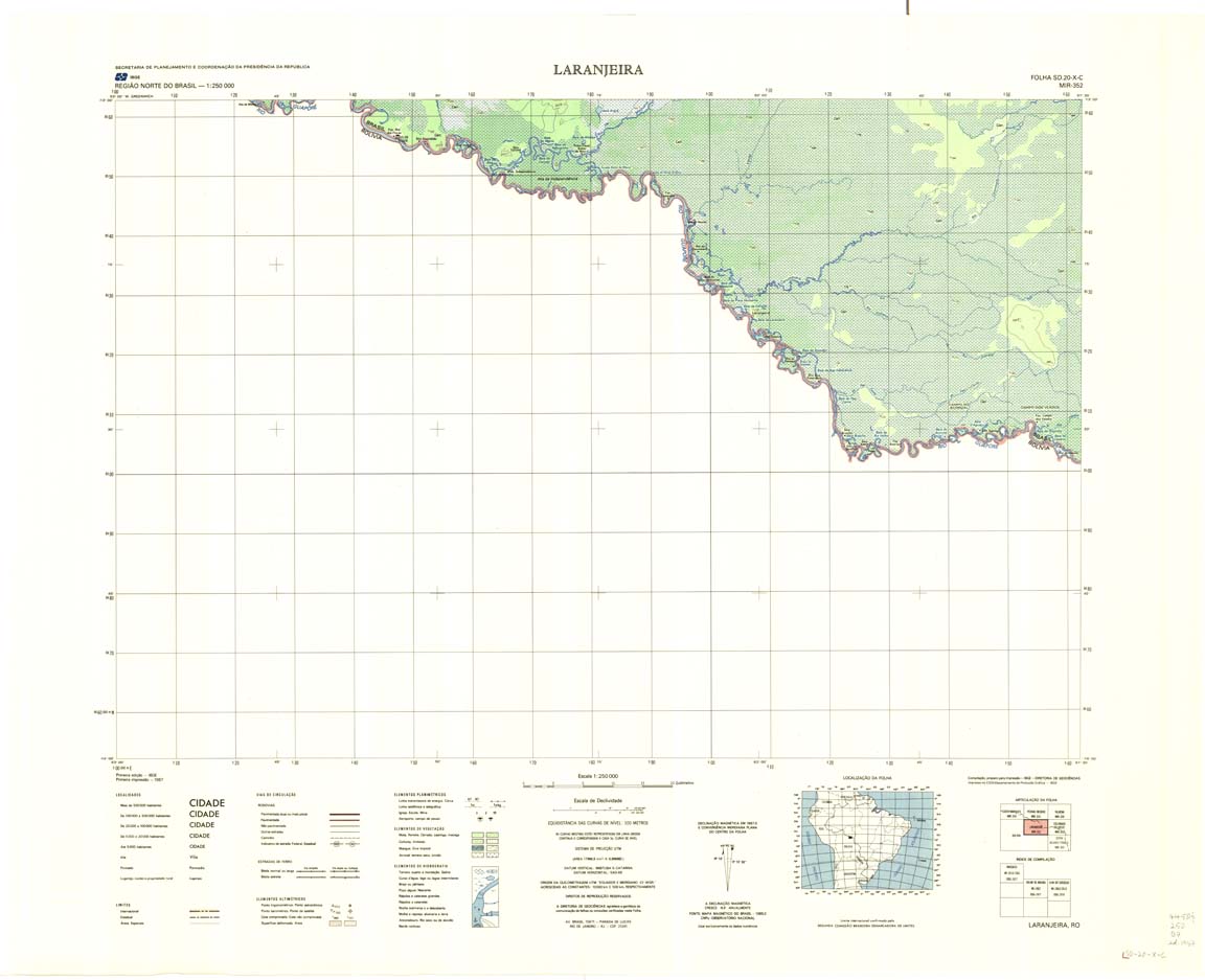
| 352 | SD-20-X-C | LARANJEIRAS | IBGE | Top / Radar | jpg | tif | zip | |
| 353 | SD-20-X-D | COLORADO DO OESTE | Top / Radar | jpg | tif | zip | ||
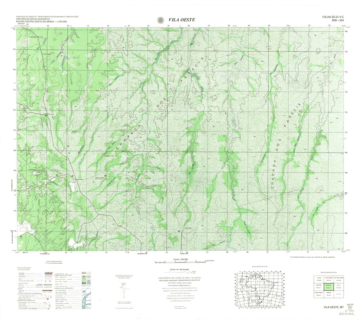
| 354 | SD-21-V-C | VILA OESTE | DSG | Top / Radar | jpg | tif | zip | |
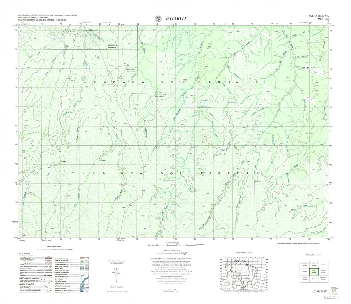
| 355 | SD-21-V-D | UTIARITI | DSG | Top / Radar | jpg | tif | zip | |
| 356 | SD-21-X-C | RIO CLARO | DSG | Top / Radar | jpg | tif | zip | |
| 357 | SD-21-X-D | BOCA DA MATA | DSG | Top / Radar | jpg | tif | zip | |
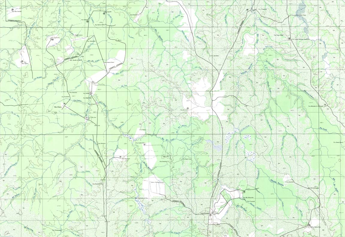
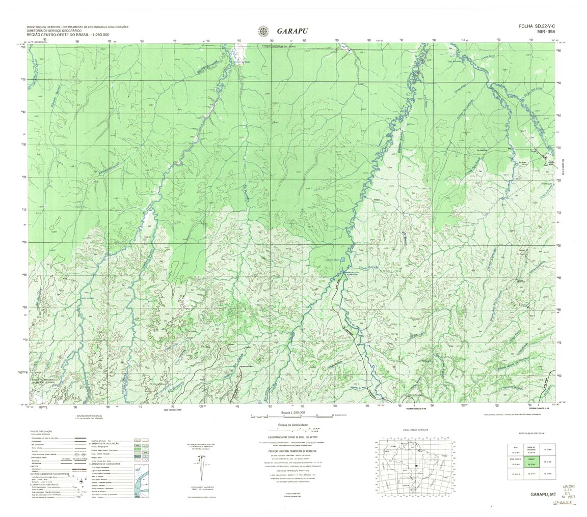
| 358 | SD-22-V-C | GUARAPU | DSG | Top / Radar | jpg | tif | zip | |
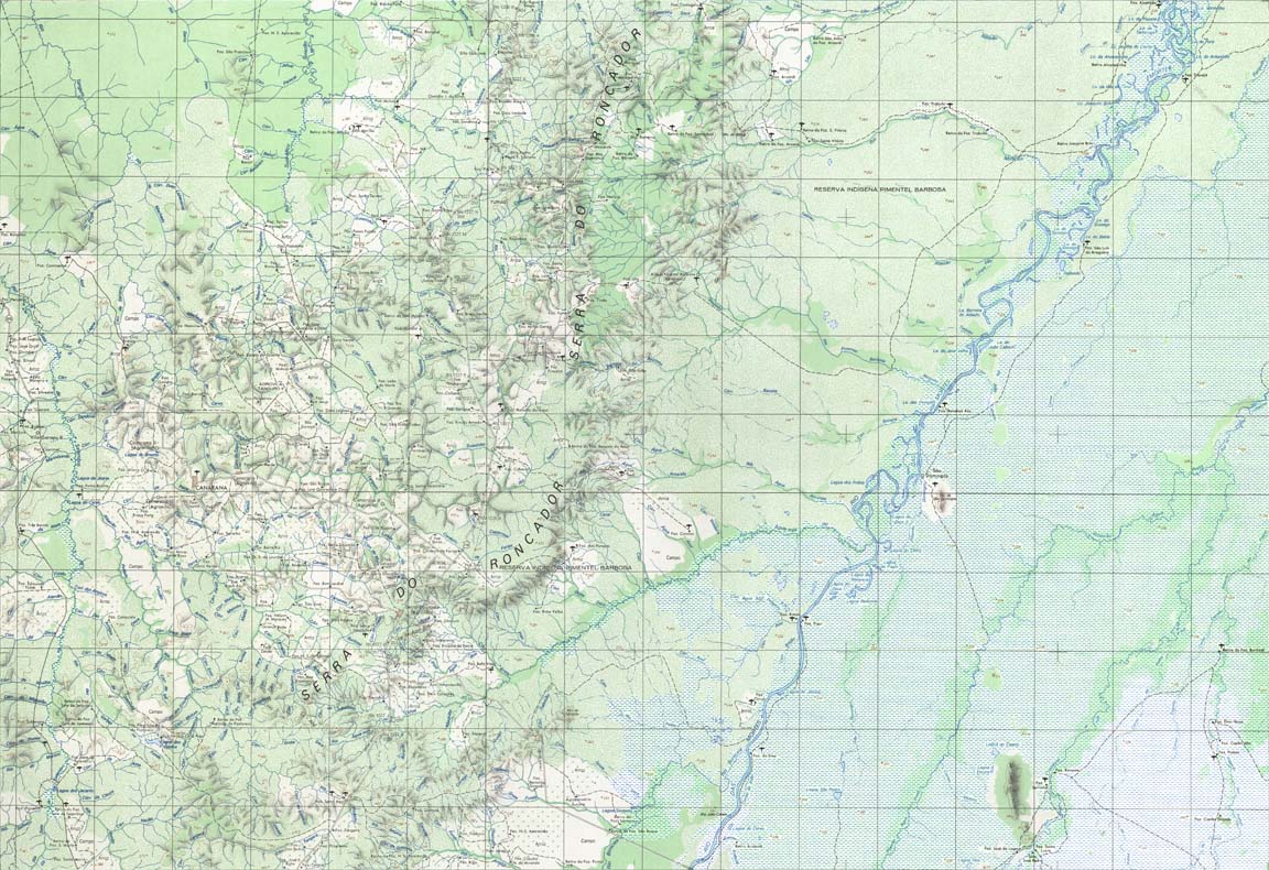
| 359 | SD-22-V-D | CANARANA | IBGE | Top / Radar | jpg | tif | zip | |
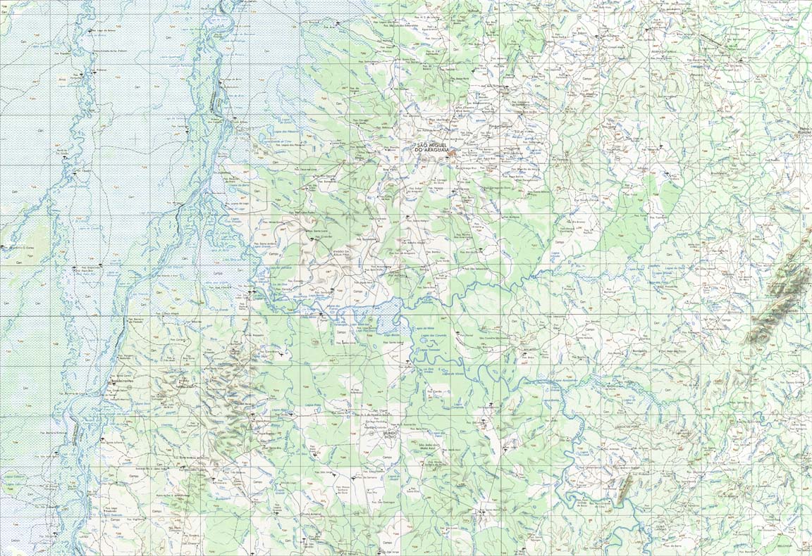
| 360 | SD-22-X-C | SAO MIGUEL DO ARAGUAIA | IBGE | Top / Radar | jpg | tif | zip | |
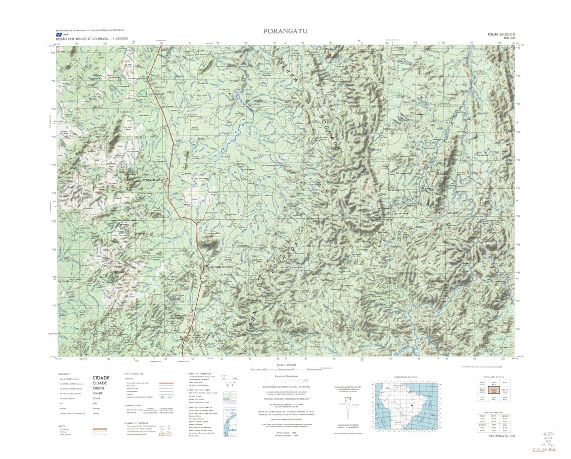
| 361 | SD-22-X-D | PORANGATU | IBGE | Top / Radar | jpg | tif | zip | |
| 362 | SD-23-V-C | CAMPOS BELOS | IBGE | Top / Radar | jpg | tif | zip | |
| 363 | SD-23-V-D | SAO DOMINGOS | IBGE | Top / Radar | jpg | tif | zip | |
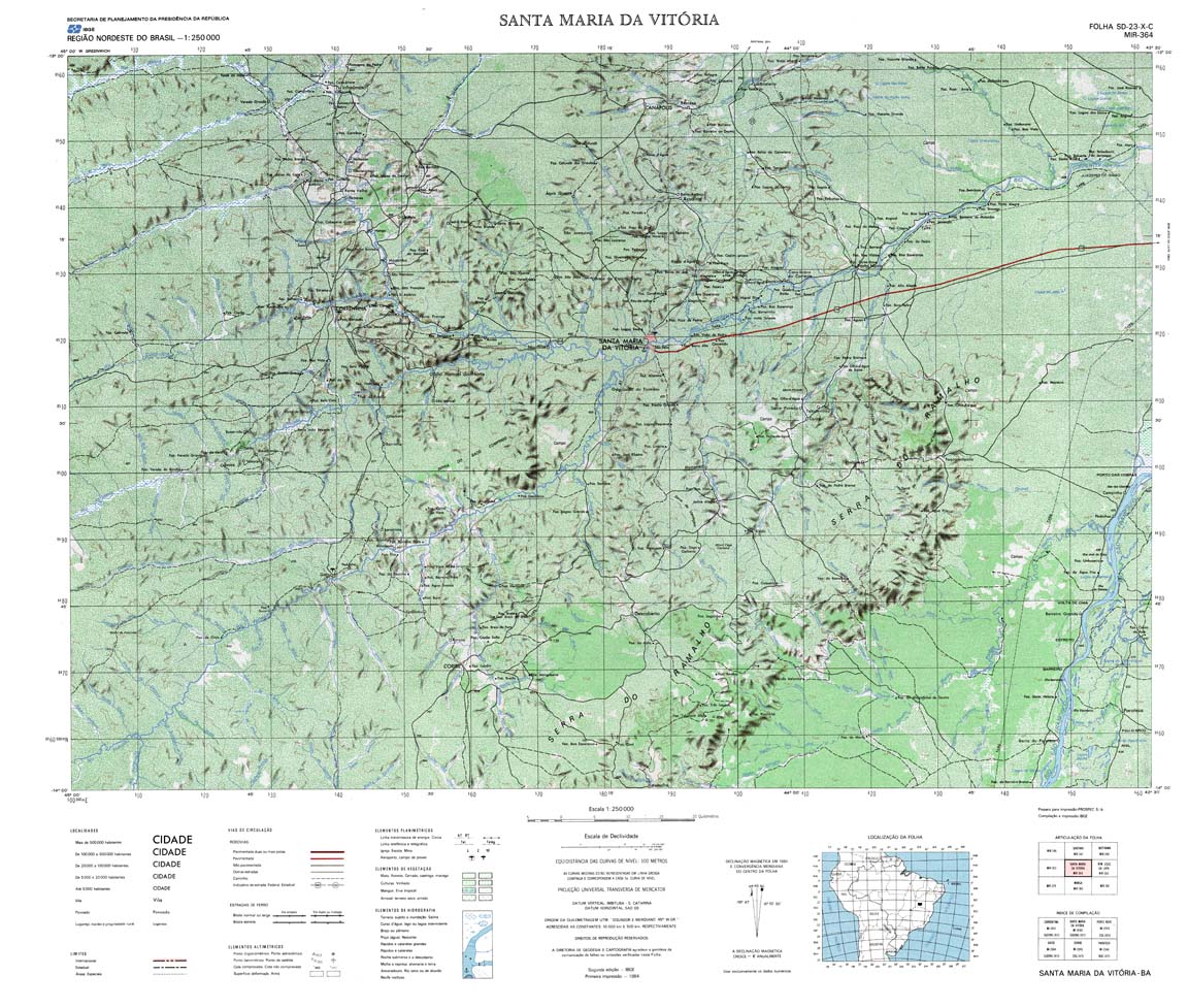
| 364 | SD-23-X-C | SANTA MARIA DA VITORIA | IBGE | Top / Radar | jpg | tif | zip | |
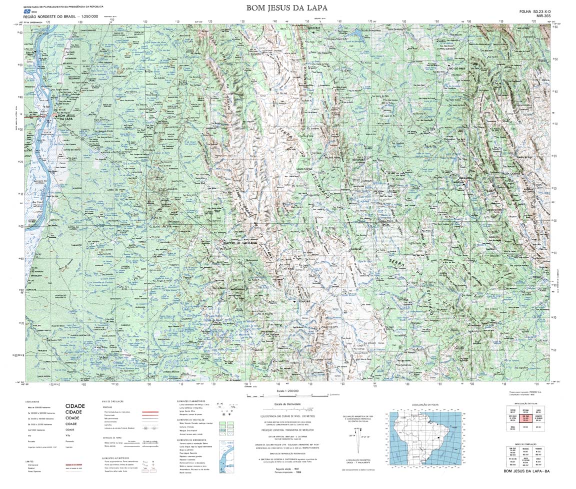
| 365 | SD-23-X-D | BOM JESUS DA LAPA | IBGE | Top / Radar | jpg | tif | zip | |
| 366 | SD-24-V-C | LIVRAMENTO BRUMADO | IBGE | Top / Radar | jpg | tif | zip | |
| 367 | SD-24-V-D | JEQUIE | IBGE | Top / Radar | jpg | tif | zip | |
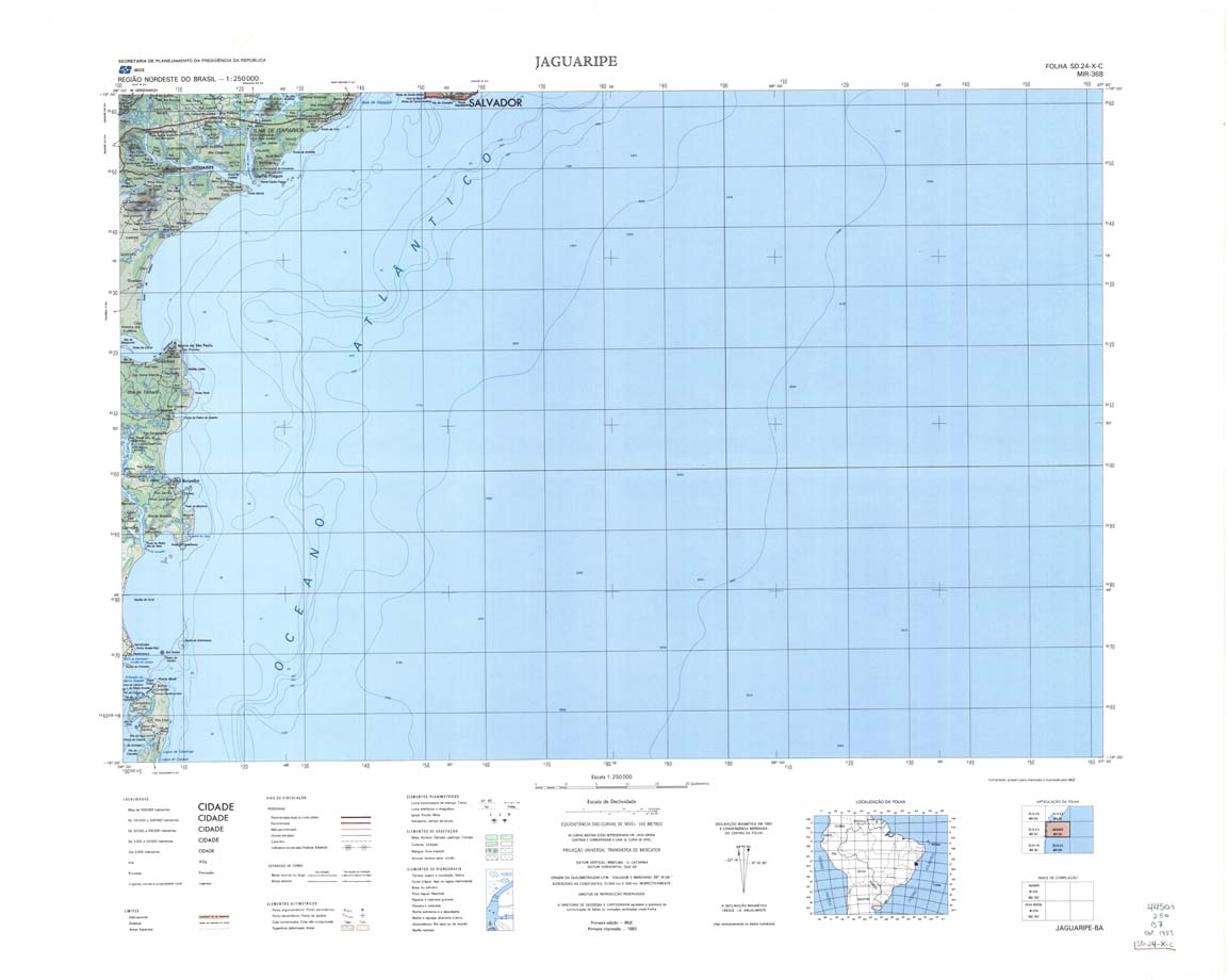
| 368 | SD-24-X-C | JAGUARIPE | IBGE | Top / Radar | jpg | tif | zip | |
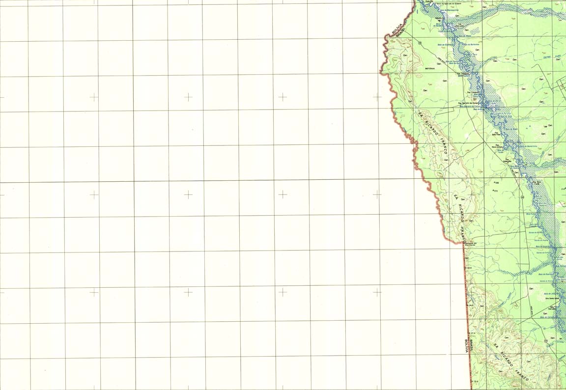
| 369 | SD-20-Z-B | SERRA RICARDO FRANCO | IBGE | Top / Radar | jpg | tif | zip | |
| 370 | SD-21-Y-A | UIRAPURU | DSG | Top / Radar | jpg | tif | zip | |
| 371 | SD-21-Y-D | Radar | jpg | tif | zip | |||
| 372 | SD-21-Z-A | ROSARIO DO OESTE | DSG | Top / Radar | jpg | tif | zip | |
| 373 | SD-21-Z-B | PARANATINGUA | DSG | Top / Radar | jpg | tif | zip | |
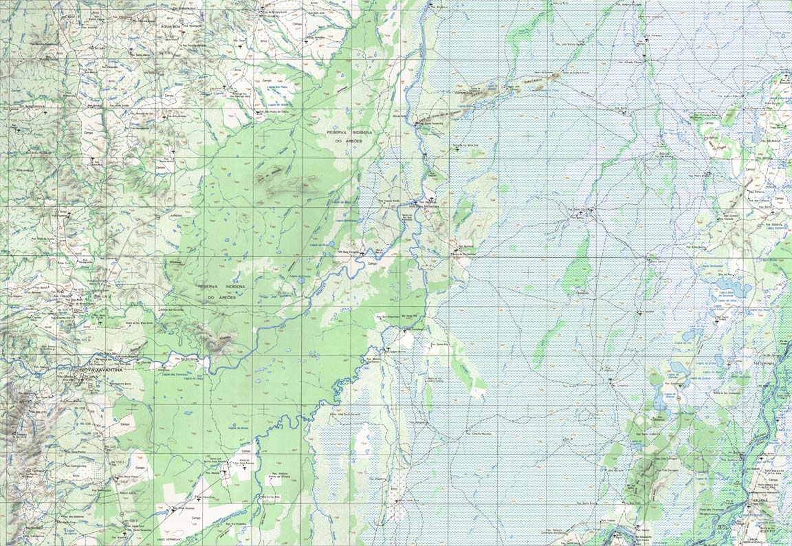
| 375 | SD-22-Y-B | NOVA XAVANTINA | IBGE | Top / Radar | jpg | tif | zip | |
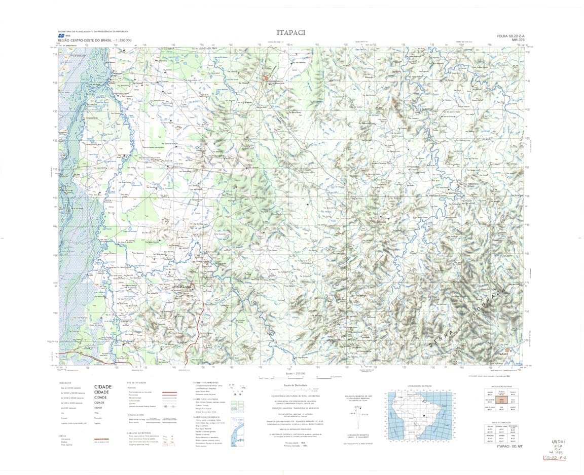
| 376 | SD-22-Z-A | ITAPACI | IBGE | Top / Radar | jpg | tif | zip | |
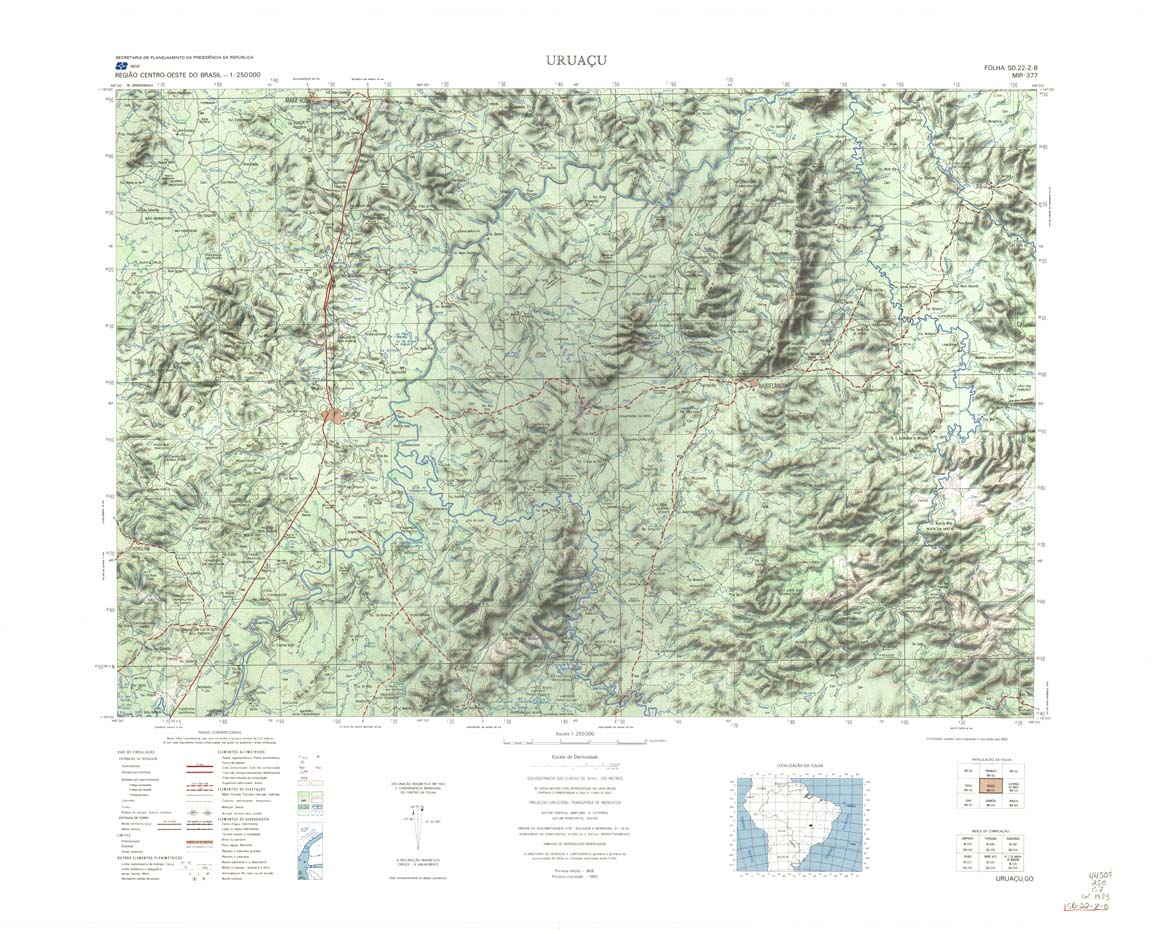
| 377 | SD-22-Z-B | URUACU | IBGE | Top / Radar | jpg | tif | zip | |
| 378 | SD-23-Y-A | IACIARA | IBGE | Top / Radar | jpg | tif | zip | |
| 379 | SD-23-Y-B | POSSE | IBGE | Top / Radar | jpg | tif | zip | |
| 380 | SD-23-Z-A | MANGA | IBGE | Top / Radar | jpg | tif | zip | |
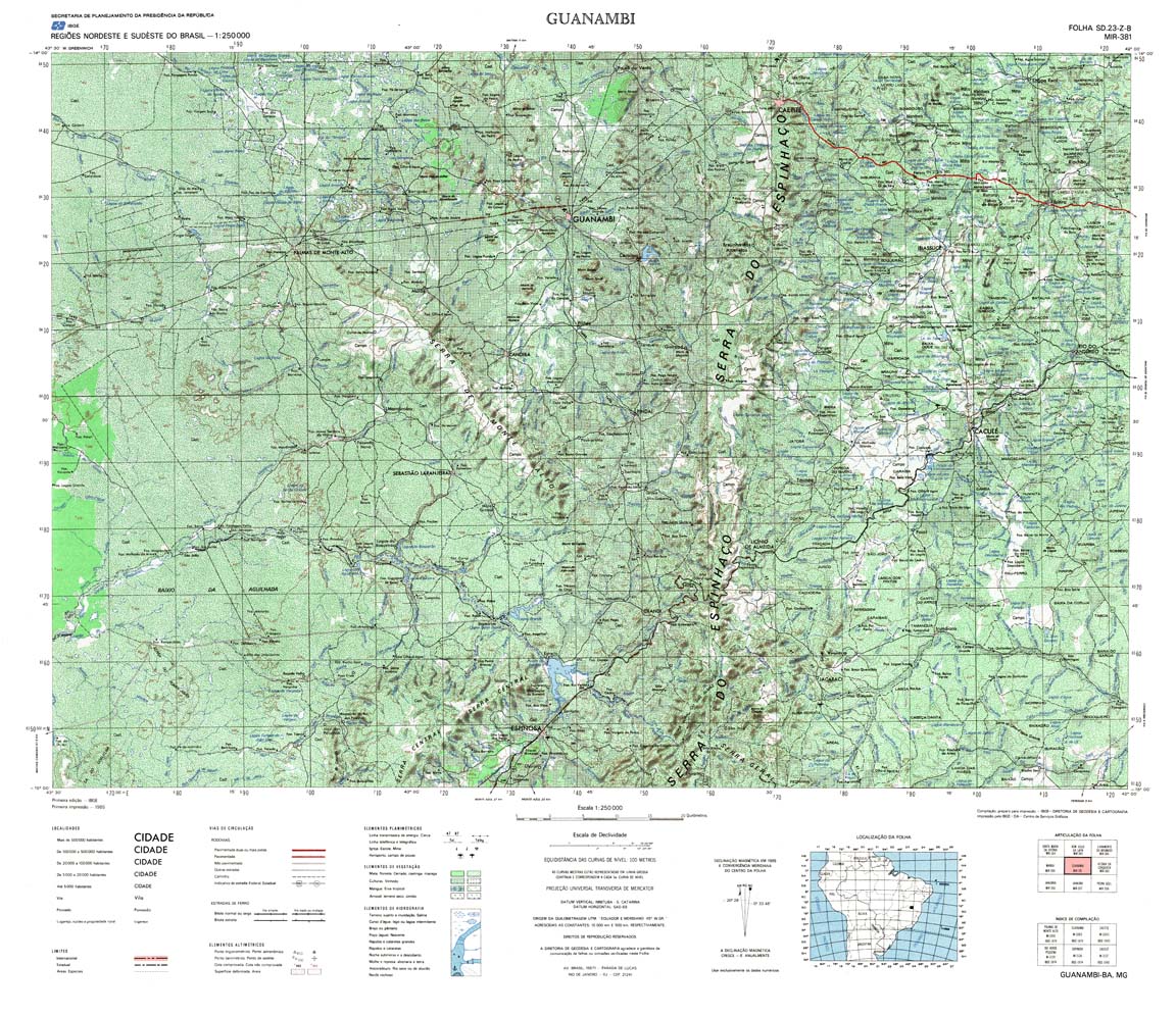
| 381 | SD-23-Z-B | GUANAMBI | IBGE | Top / Radar | jpg | tif | zip | |
| 382 | SD-24-Y-A | VITORIA DA CONQUISTA | IBGE | Top / Radar | jpg | tif | zip | |
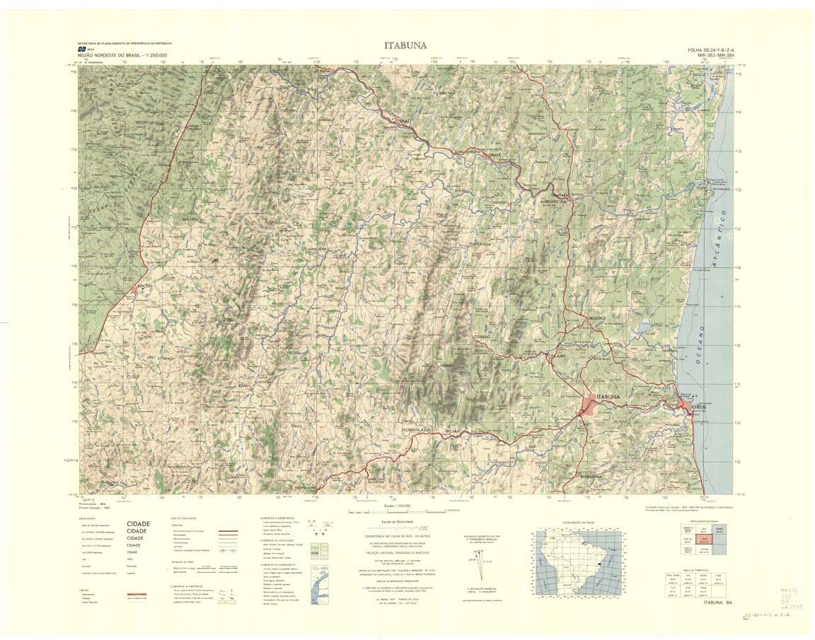
| 383_384 | SD-24-Y-B | ITABUNA | IBGE | Top / Radar | jpg | tif | zip | |
| 383_384 | SD-24-Z-A | ITABUNA | IBGE | Top / Radar | jpg | tif | zip | |
| 385_401 | SD-20-Z-D | BAIA GRANDE | IBGE | Top / Radar | jpg | tif | zip | |
| 386 | SD-21-Y-C | JAURU | DSG | Top / Radar | jpg | tif | zip | |
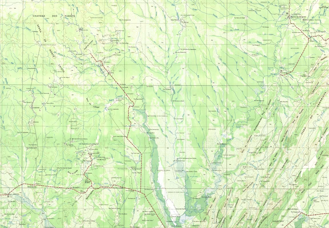
| 387 | SD-21-Y-D | BARRA DOS BUGRES | DSG | Top / Radar | jpg | tif | zip | |
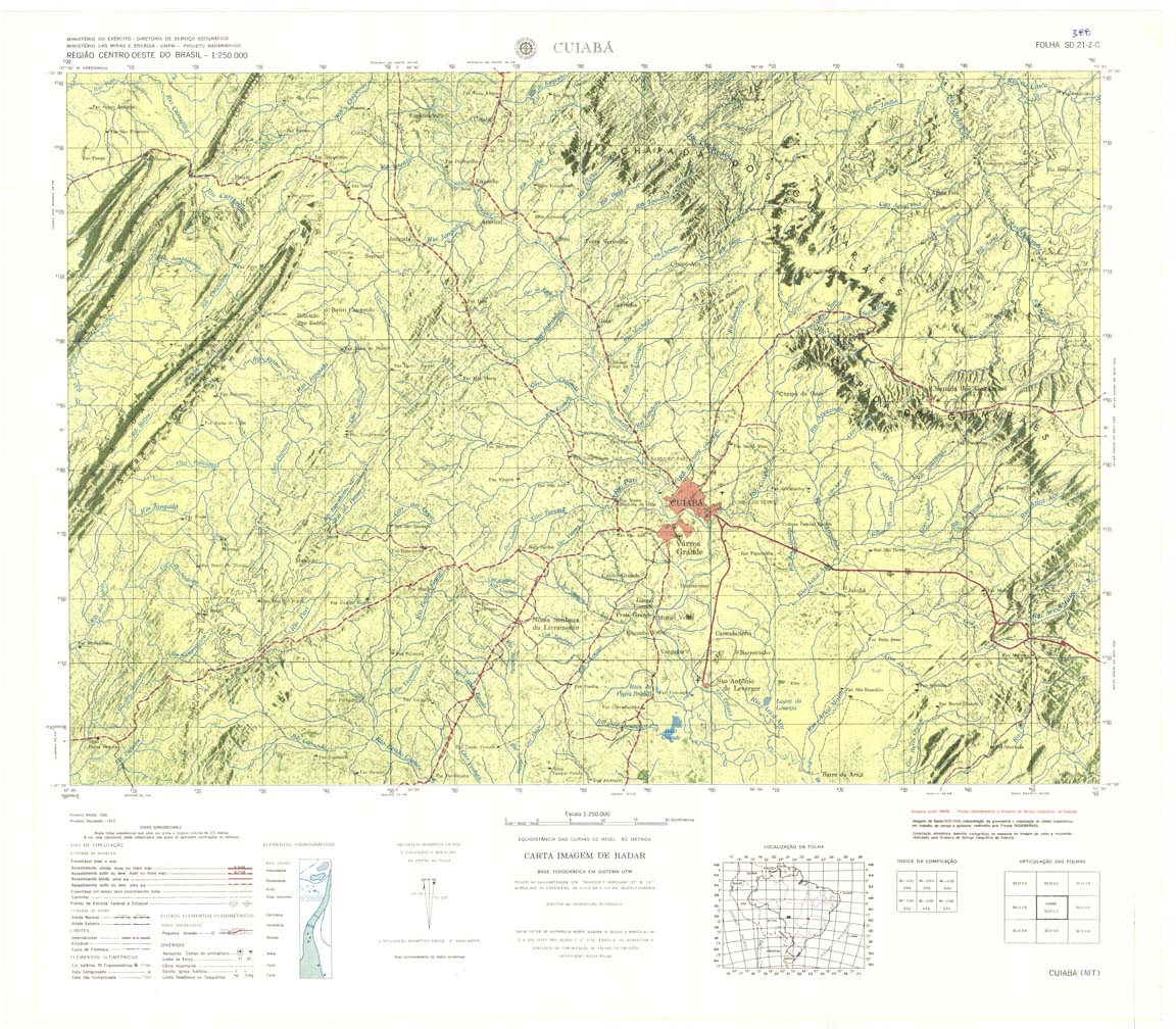
| 388 | SD-21-Z-C | CUIABÁ | Radar | jpg | tif | zip | ||
| 389 | SD-21-Z-D | DOM AQUINO | DSG | Top / Radar | jpg | tif | zip | |
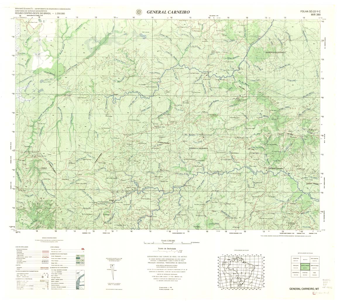
| 390 | SD-22-Y-C | GENERAL CARNEIRO | DSG | Top / Radar | jpg | tif | zip | |
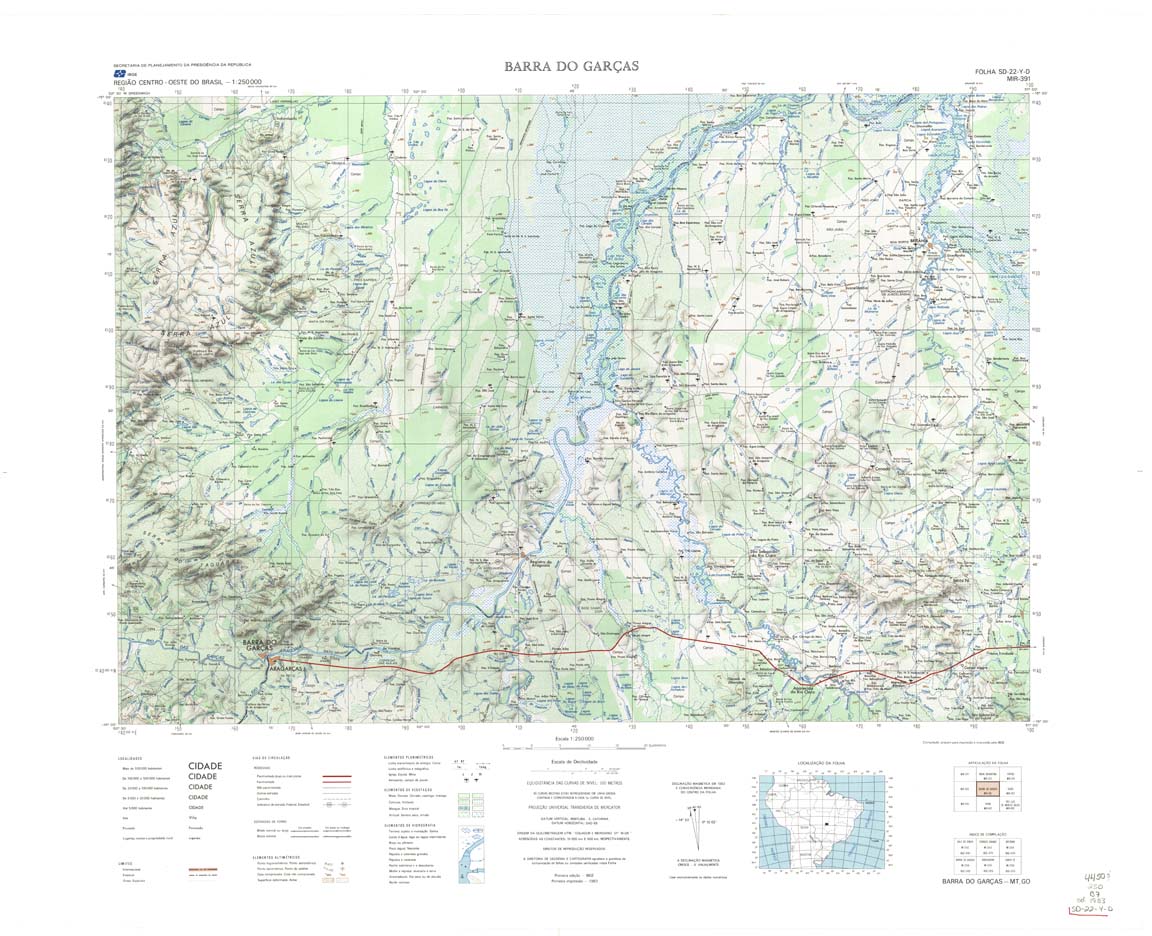
| 391 | SD-22-Y-D | BARRA DO GARCAS | IBGE | Top / Radar | jpg | tif | zip | |
| 392 | SD-22-Z-C | GOIAS | IBGE | Top / Radar | jpg | tif | zip | |
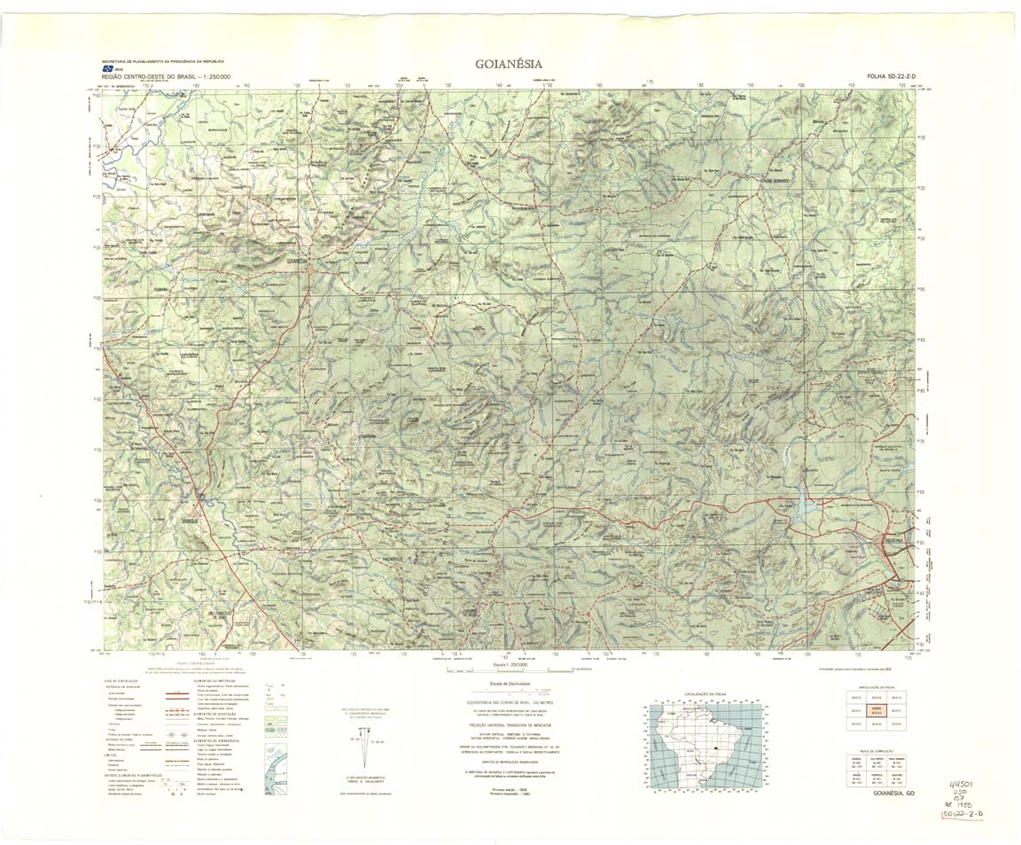
| 393 | SD-22-Z-D | GOIANESIA | IBGE | Top / Radar | jpg | tif | zip | |
| 394 | SD-23-Y-C | BRASILIA | IBGE | Top / Radar | jpg | tif | zip | |
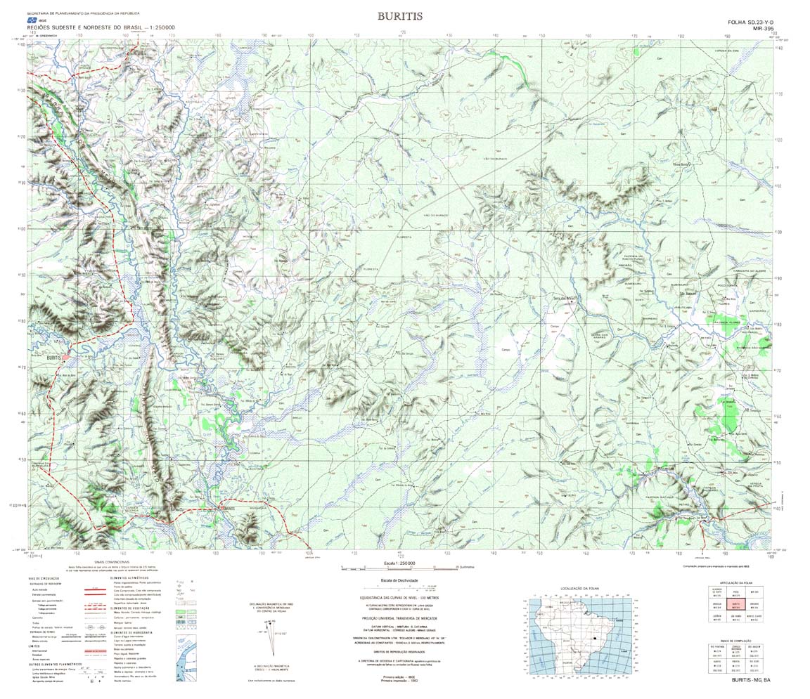
| 395 | SD-23-Y-D | BURITIS | IBGE | Top / Radar | jpg | tif | zip | |
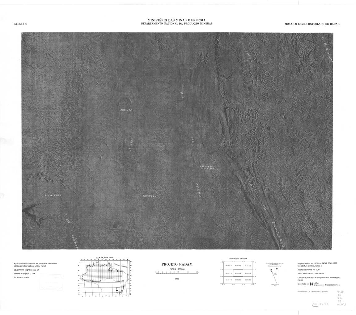
| 395(2) | SD-23-Y-D | BURITIS | jpg | tif | ||||
| 396 | SD-23-Z-C | JANUARIA | IBGE | Top / Radar | jpg | tif | zip | |
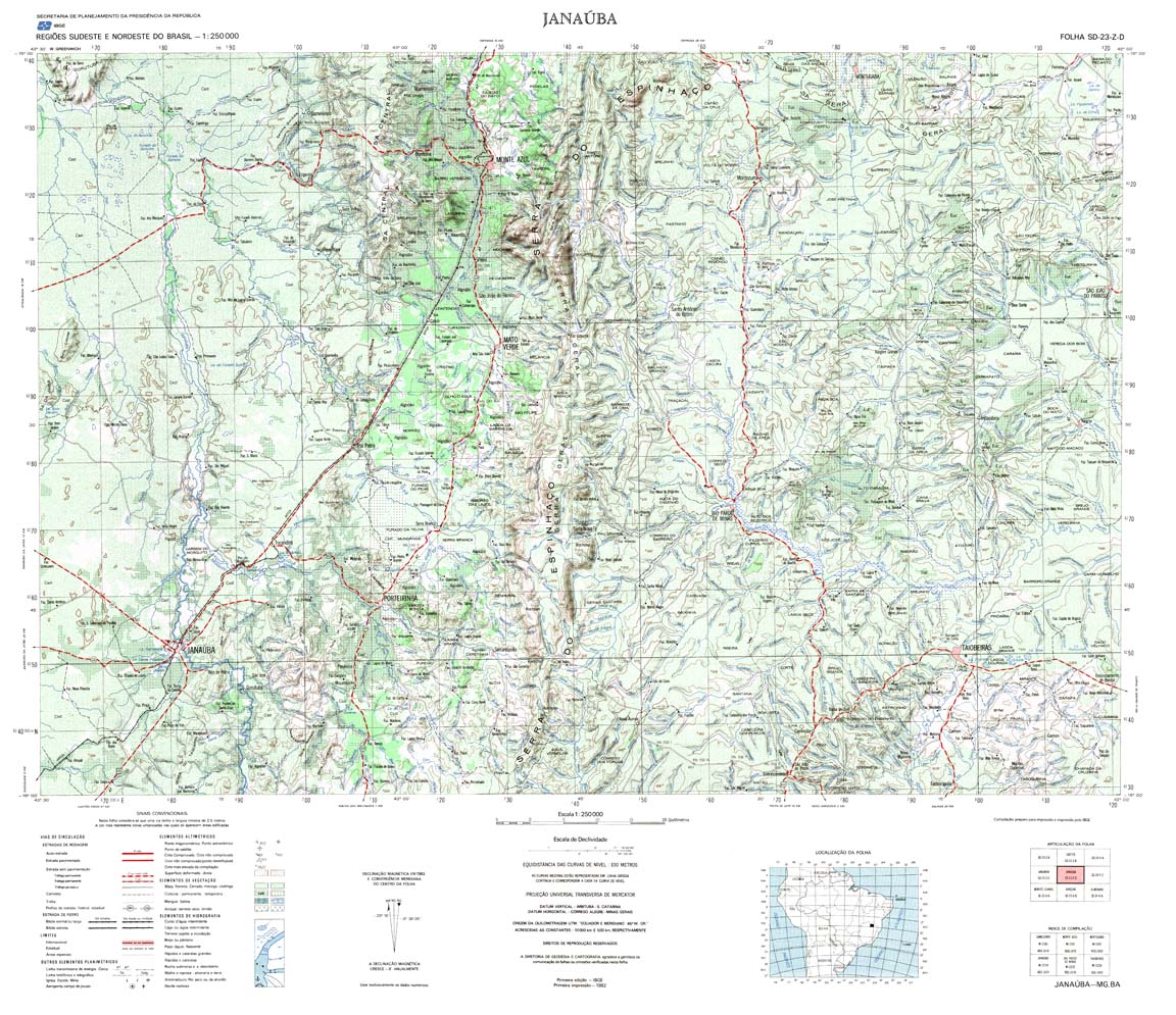
| 397 | SD-23-Z-D | JANAUBA | IBGE | Top / Radar | jpg | tif | zip | |
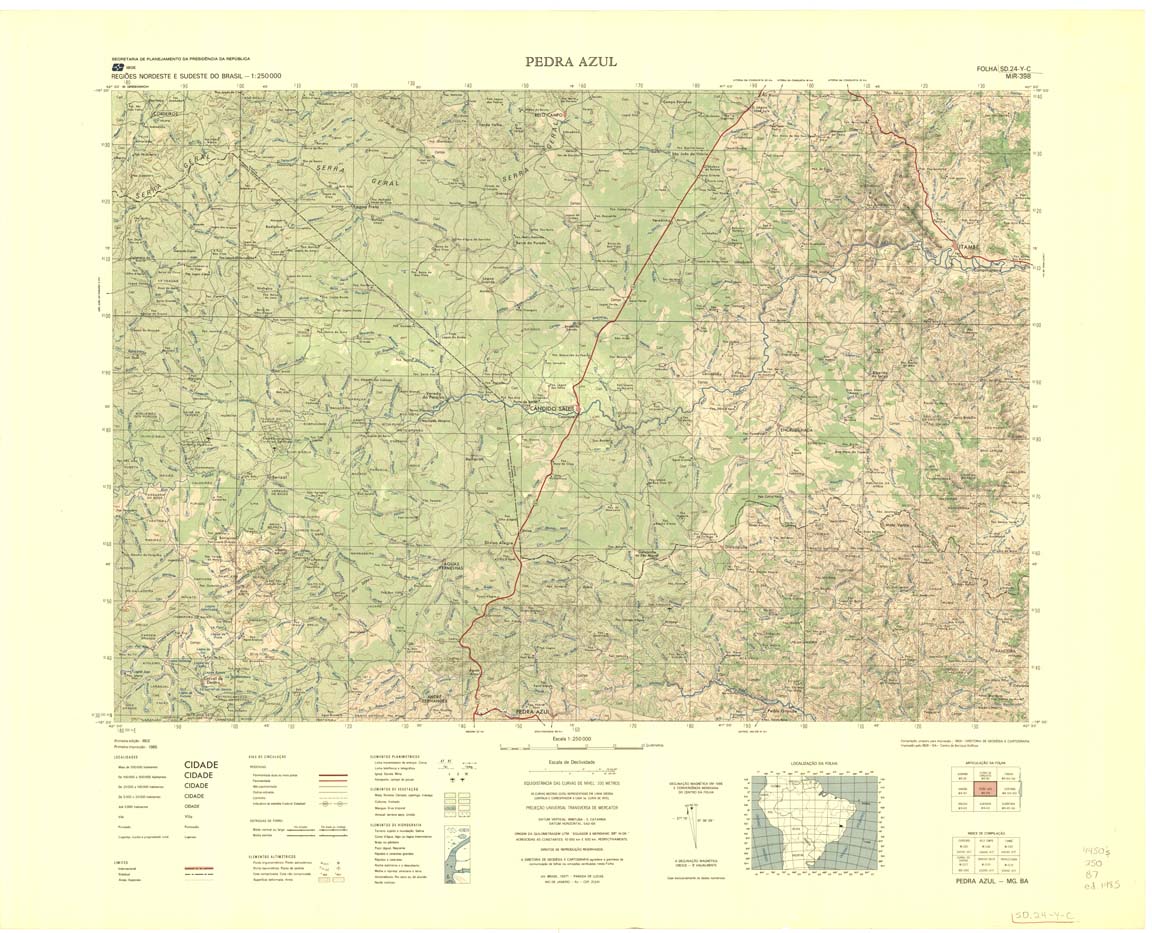
| 398 | SD-24-Y-C | PEDRA AZUL | IBGE | Top / Radar | jpg | tif | zip | |
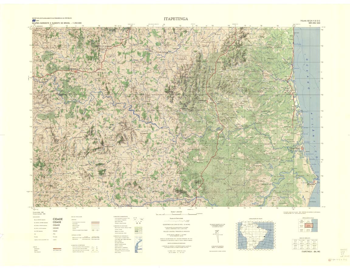
| 399_400 | SD-24-Y-D | ITAPETINGA | IBGE | Top / Radar | jpg | tif | zip | |
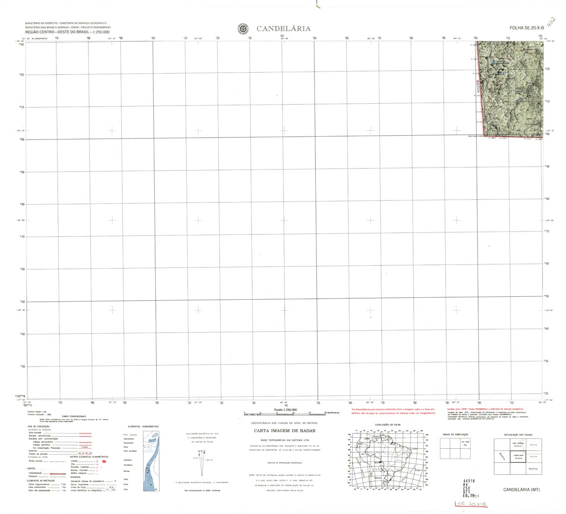
| 401 | SE-20-X-B | CANDELARIA | jpg | tif | zip | |||
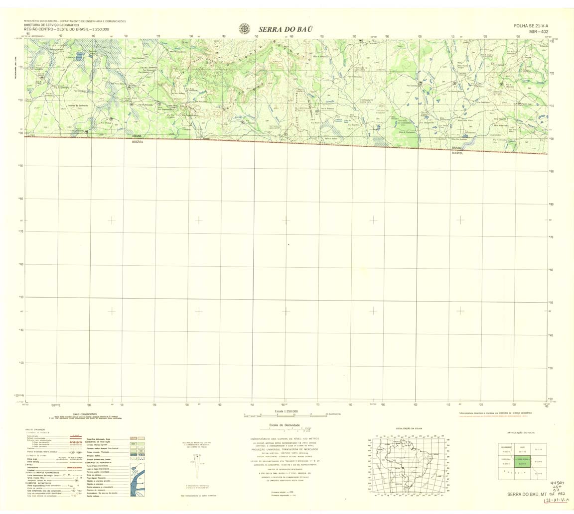
| 402 | SE-21-V-A | SERRA DO BAU | DSG | Top / Radar | jpg | tif | zip | |
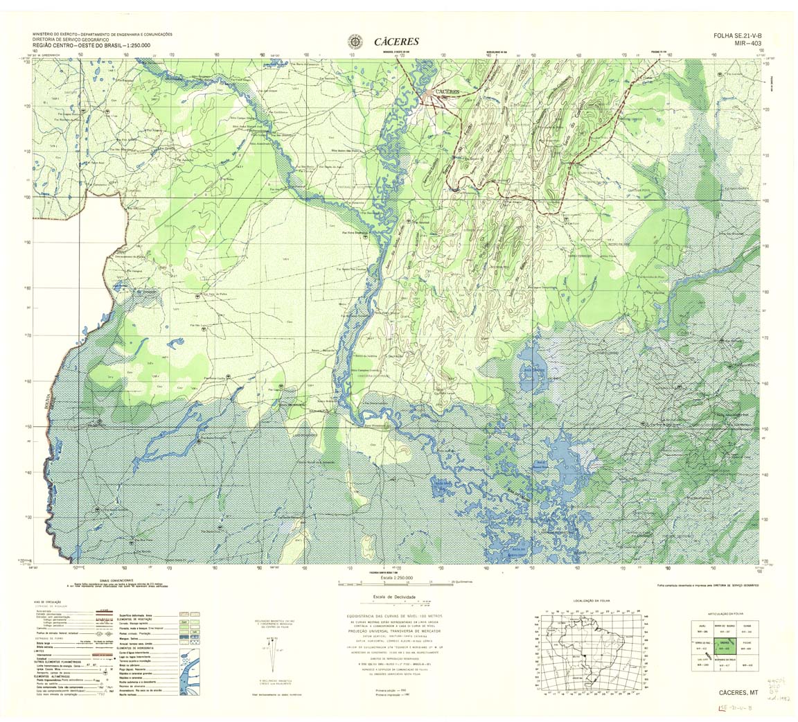
| 403 | SE-21-V-B | CACERES | DSG | Top / Radar | jpg | tif | zip | |
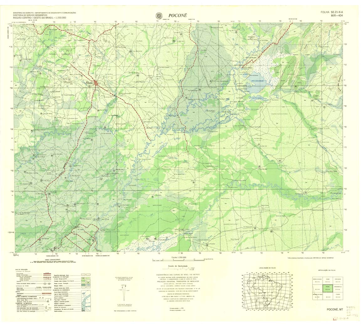
| 404 | SE-21-X-A | POCONE | DSG | Top / Radar | jpg | tif | zip | |
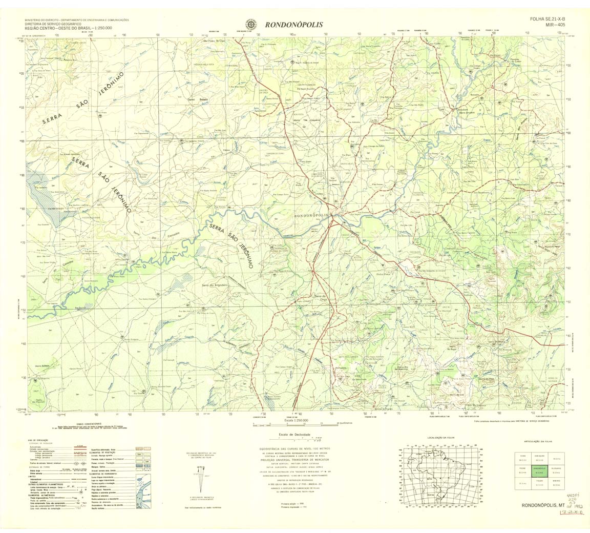
| 405 | SE-21-X-B | RONDONOPOLIS | DSG | Top / Radar | jpg | tif | zip | |
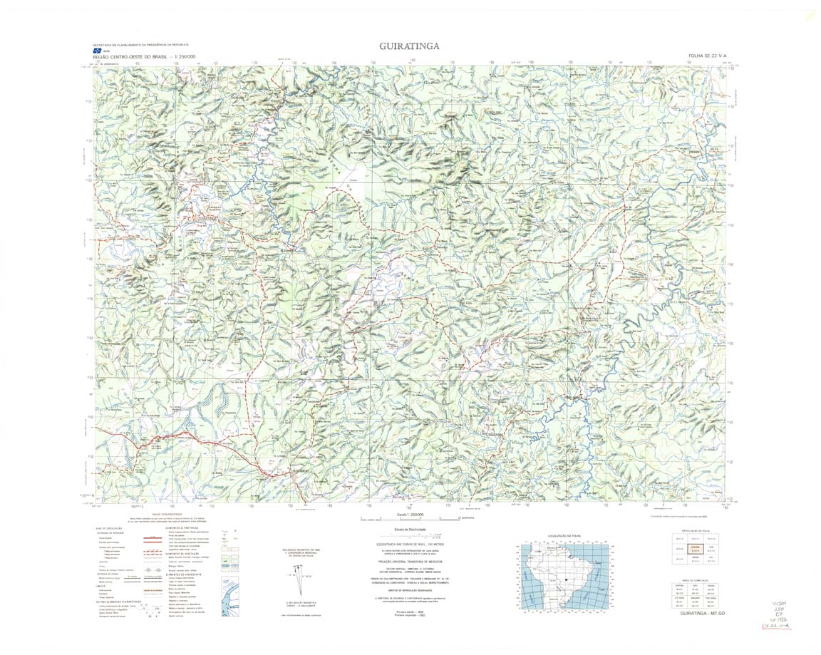
| 406 | SE-22-V-A | GUIRATINGA | IBGE | Top / Radar | jpg | tif | zip | |
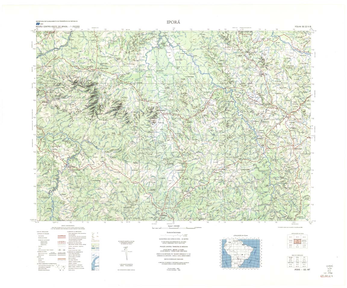
| 407 | SE-22-V-B | IPORA | IBGE | Top / Radar | jpg | tif | zip | |
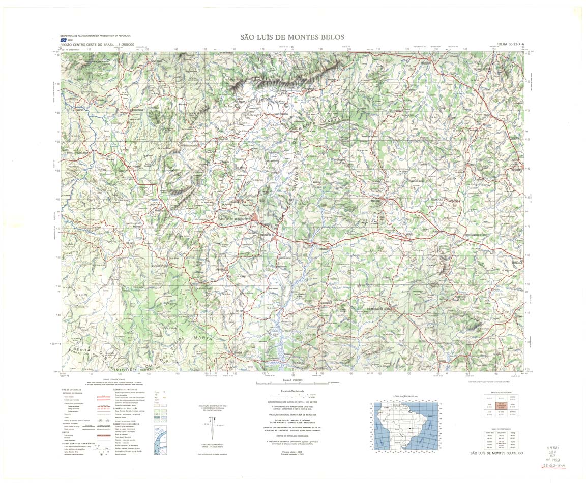
| 408 | SE-22-X-A | SAO LUIZ DE MONTES BELOS | IBGE | Top / Radar | jpg | tif | zip | |
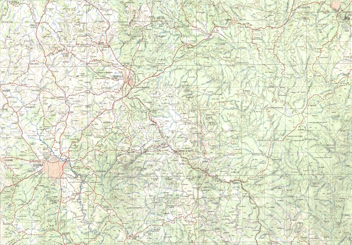
| 409 | SE-22-X-B | GOIANIA | IBGE | Top / Radar | jpg | tif | zip | |
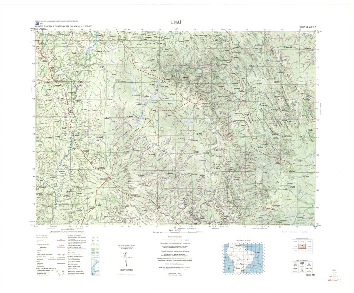
| 410 | SE-23-V-A | UNAI | DSG | Top / Radar | jpg | tif | zip | |
| 410(2) | SE-23-V-A | UNAI | jpg | tif | ||||
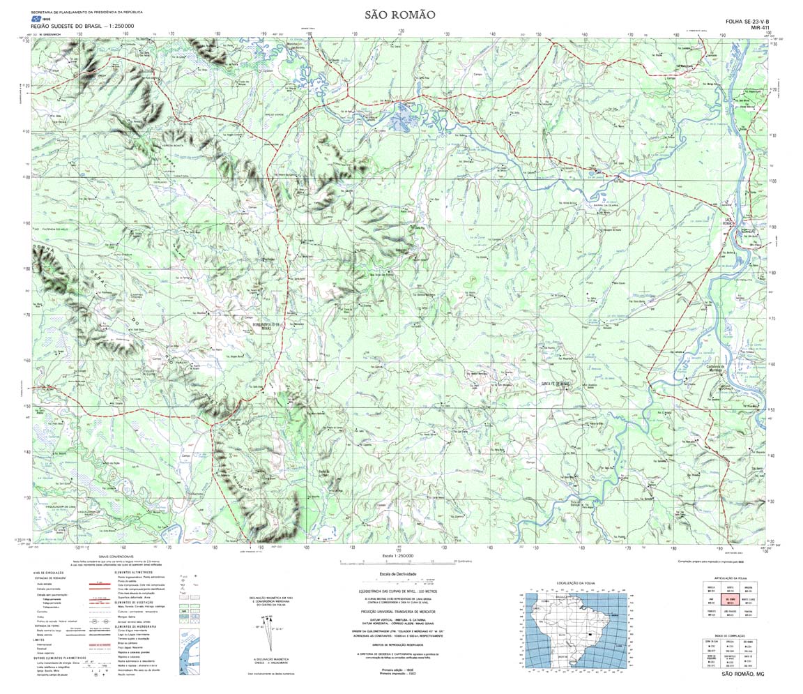
| 411 | SE-23-V-B | SAO ROMAO | IBGE | Top / Radar | jpg | tif | zip | |
| 411(2) | SE-23-V-B | SAO ROMAO | jpg | tif | ||||
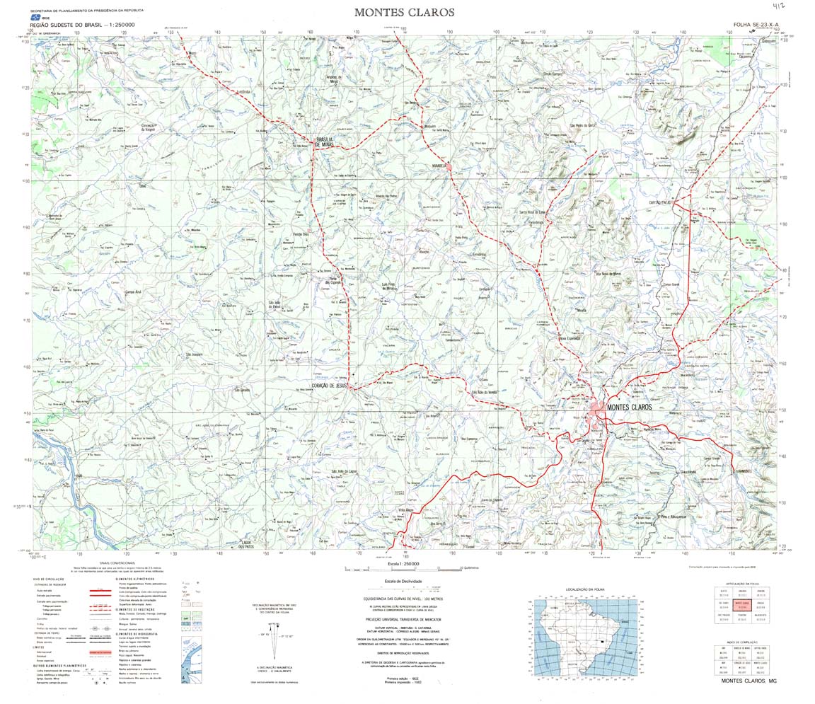
| 412 | SE-23-X-A | MONTES CLAROS | IBGE | Top / Radar | jpg | tif | zip | |
| 412(2) | SE-23-X-A | MONTES CLAROS | jpg | tif | ||||
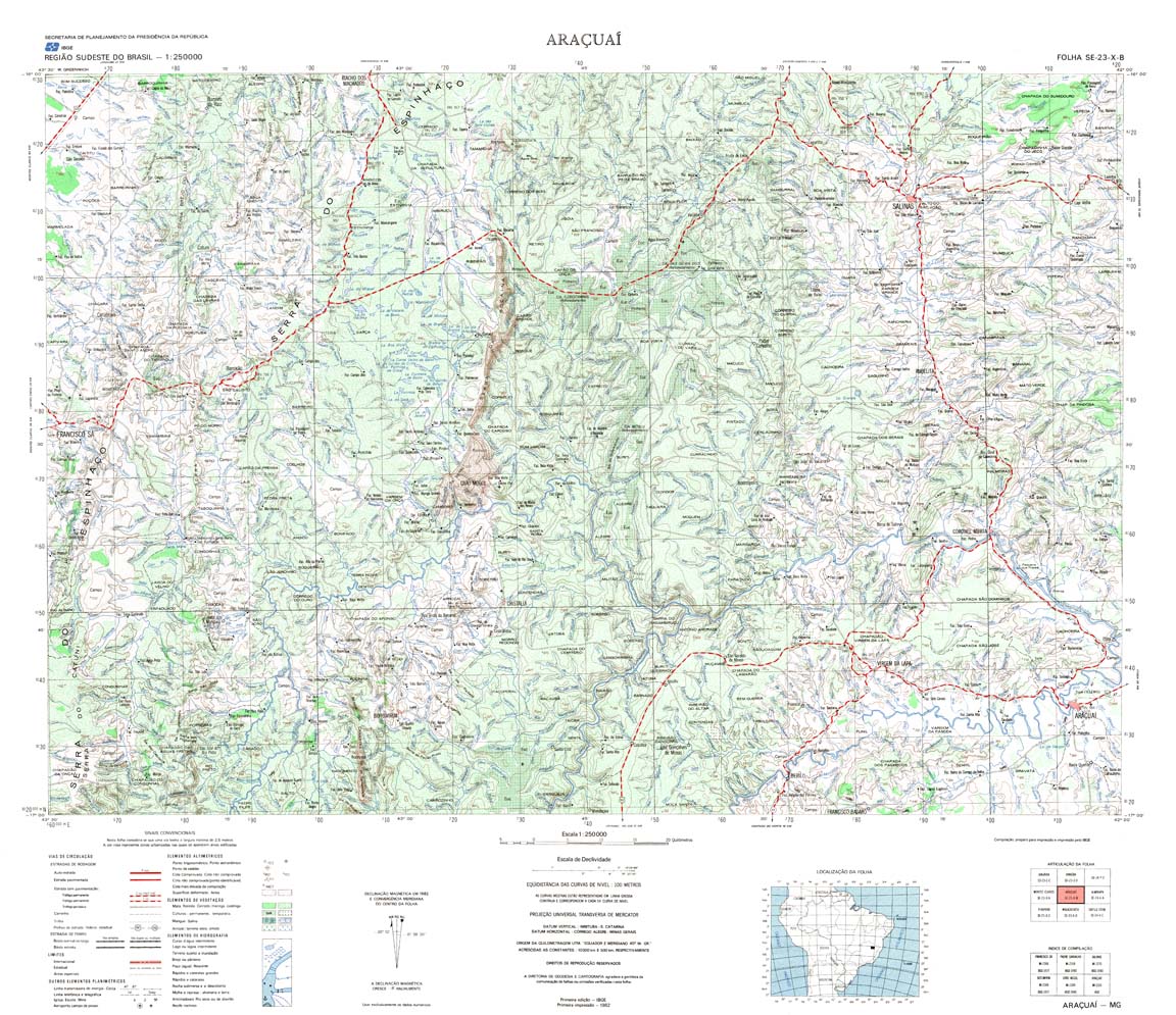
| 413 | SE-23-X-B | ARACUAI | IBGE | Top / Radar | jpg | tif | zip | |
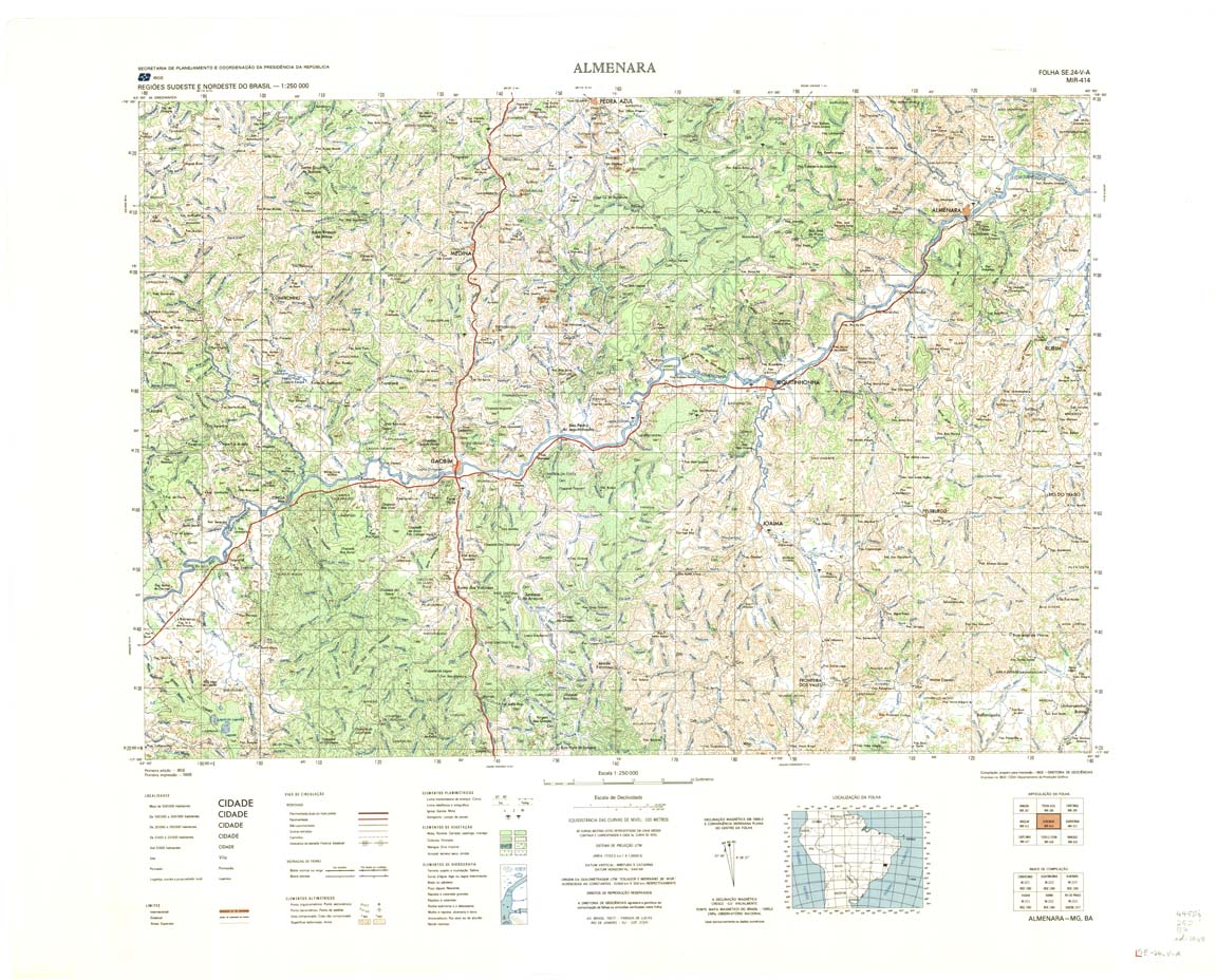
| 414 | SE-24-V-A | ALMENARA | IBGE | Top / Radar | jpg | tif | zip | |
| 415_416 | SE-24-V-B | GUARATINGA | IBGE | Top / Radar | jpg | tif | zip | |
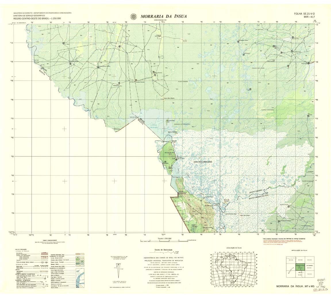
| 417 | SE-21-V-D | MORRARIA DA INSUA | DSG | Top / Radar | jpg | tif | zip | |
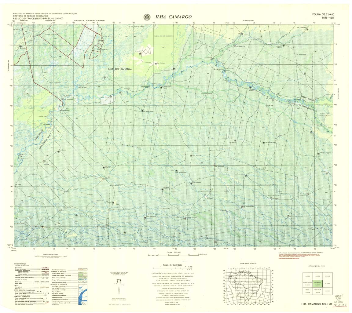
| 418 | SE-21-X-C | ILHA CAMARGO DSG | DSG | Top / Radar | jpg | tif | zip | |
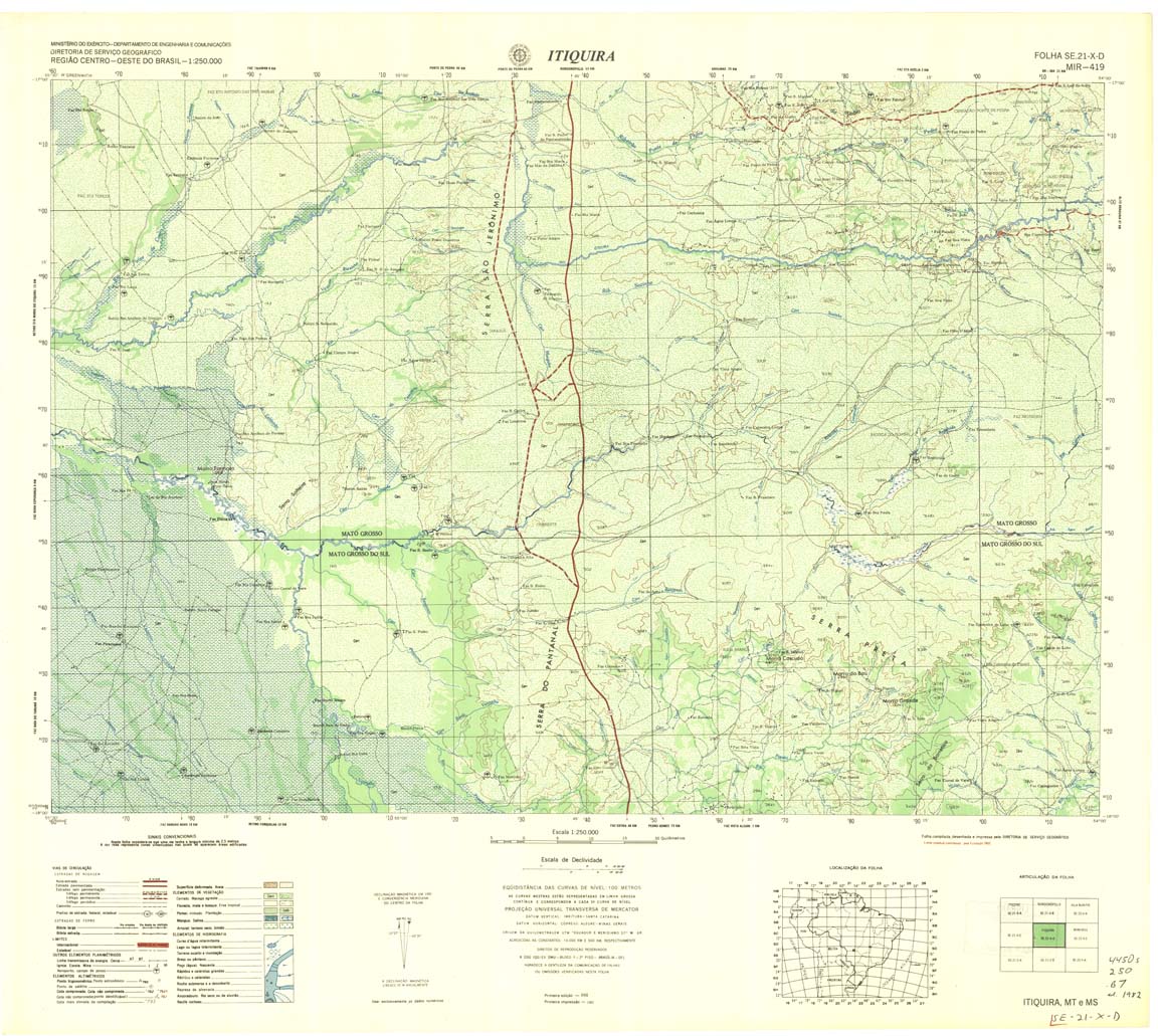
| 419 | SE-21-X-D | ITIQUIRA | DSG | Top / Radar | jpg | tif | zip | |
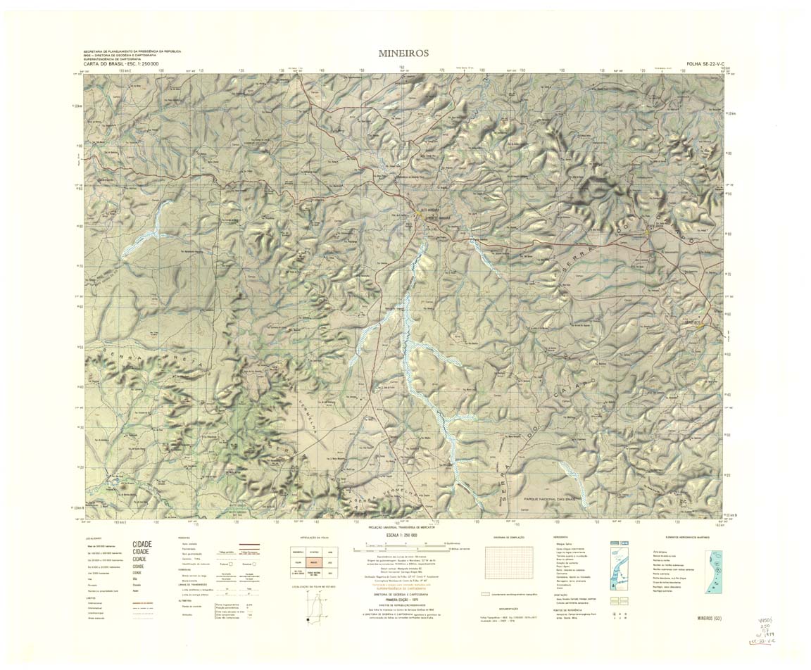
| 420 | SE-22-V-C | MINEIROS | IBGE | Top / Radar | jpg | tif | zip | |
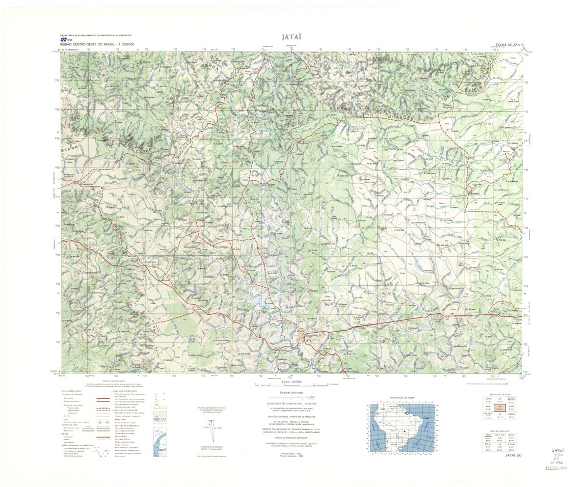
| 421 | SE-22-V-D | JATAI | IBGE | Top / Radar | jpg | tif | zip | |
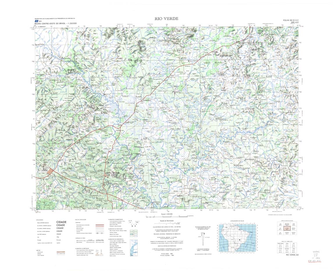
| 422 | SE-22-X-C | RIO VERDE | IBGE | Top / Radar | jpg | tif | zip | |
| 423 | SE-22-X-D | MORRINHOS | IBGE | Top / Radar | jpg | tif | zip | |
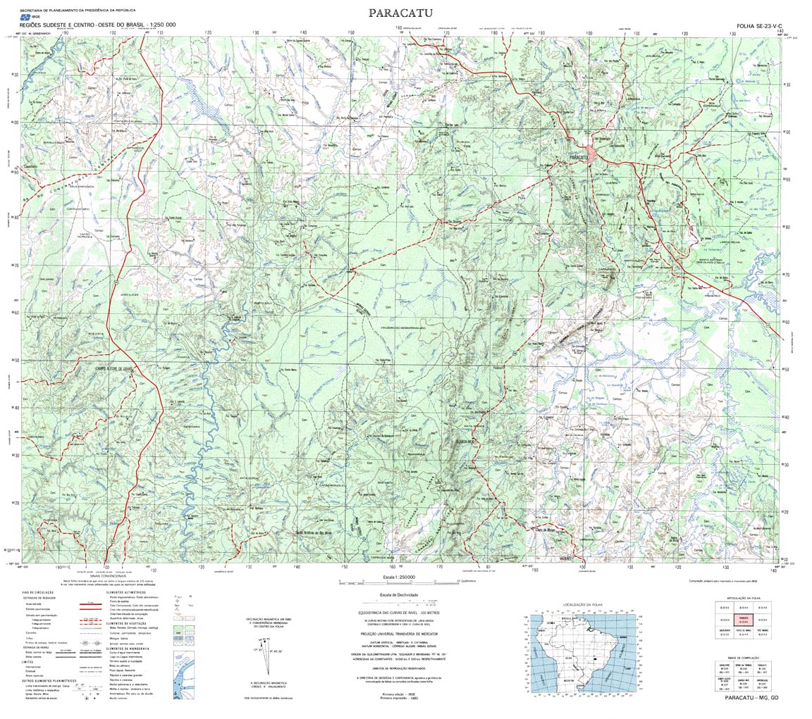
| 424-4bit | SE-23-V-C | PARACATU | IBGE | Top / Radar | jpg | tif | zip | |
| 424-8bit | SE-23-V-C | PARACATU | jpg | tif | zip | |||
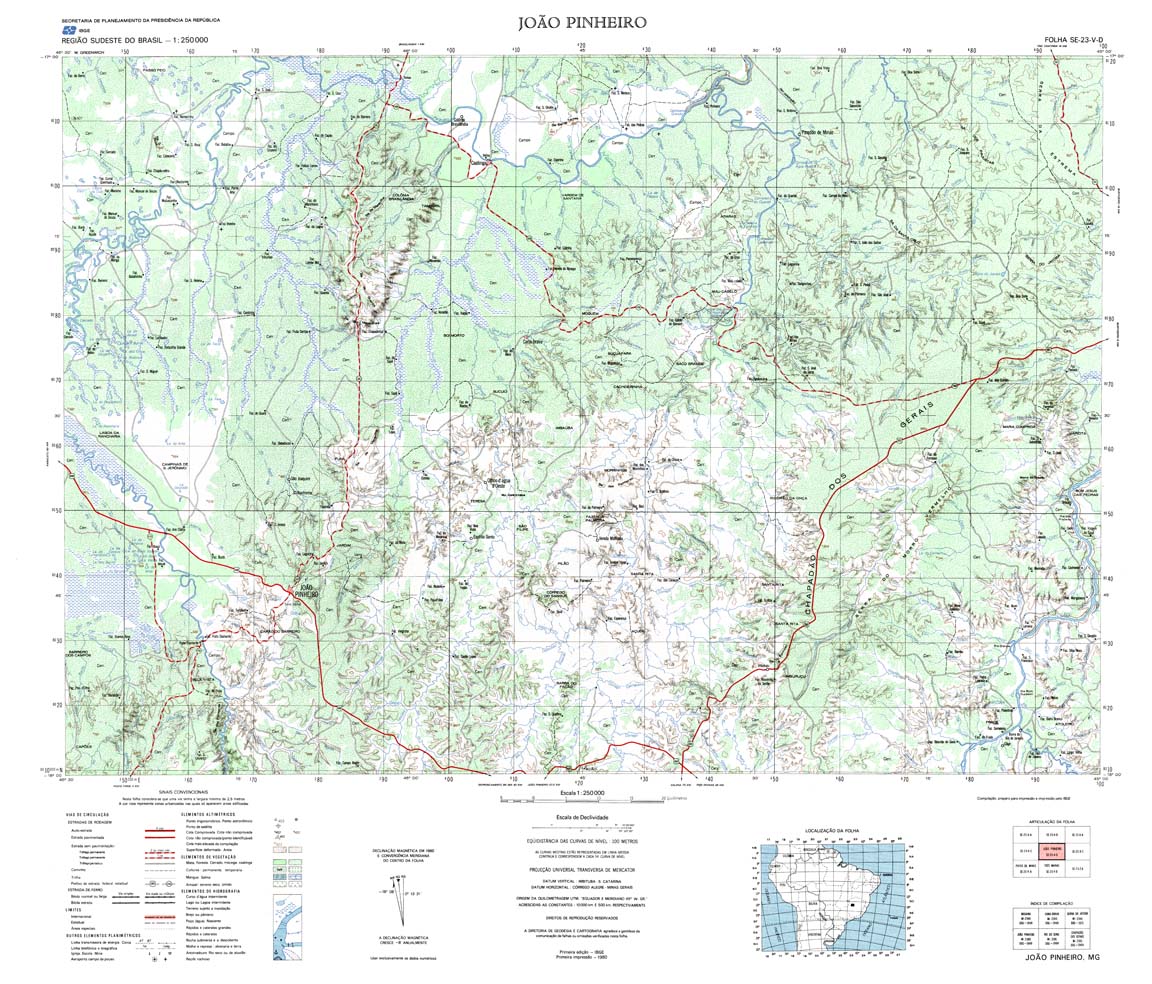
| 425 | SE-23-V-D | JOAO PINHEIRO | IBGE | Top / Radar | jpg | tif | zip | |
| 425(2) | SE-23-V-D | JOAO PINHEIRO | jpg | tif | ||||
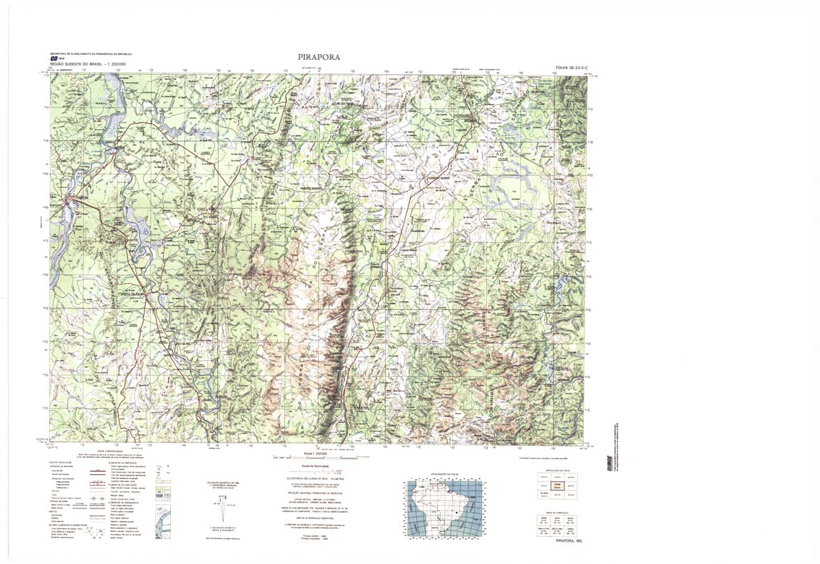
| 426 | SE-23-X-C | PIRAPORA | IBGE | Top / Radar | jpg | tif | zip | |
| 426(2) | SE-23-X-C | PIRAPORA | jpg | tif | ||||
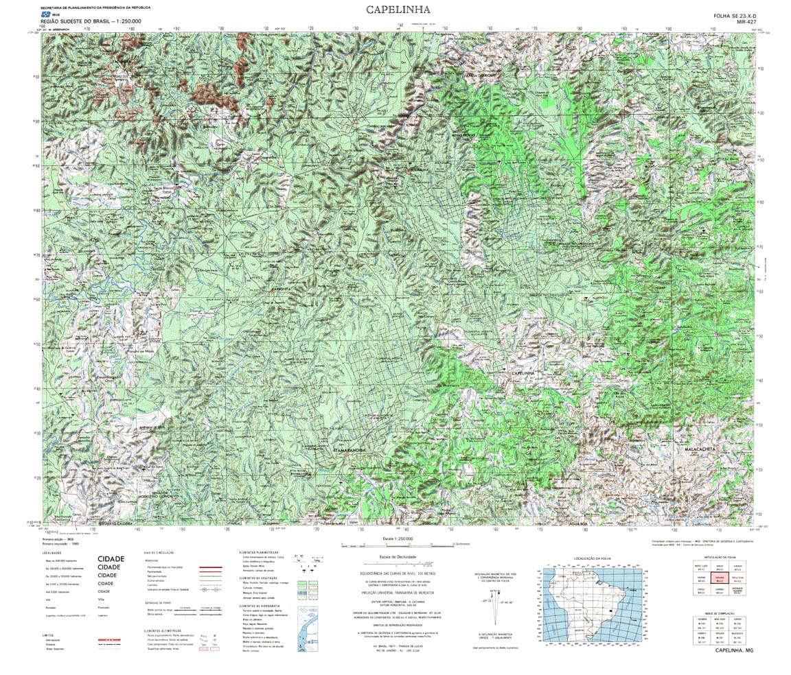
| 427 | SE-23-X-D | CAPELINHA | IBGE | Top / Radar | jpg | tif | zip | |
| 427(2) | SE-23-X-D | CAPELINHA | jpg | tif | ||||
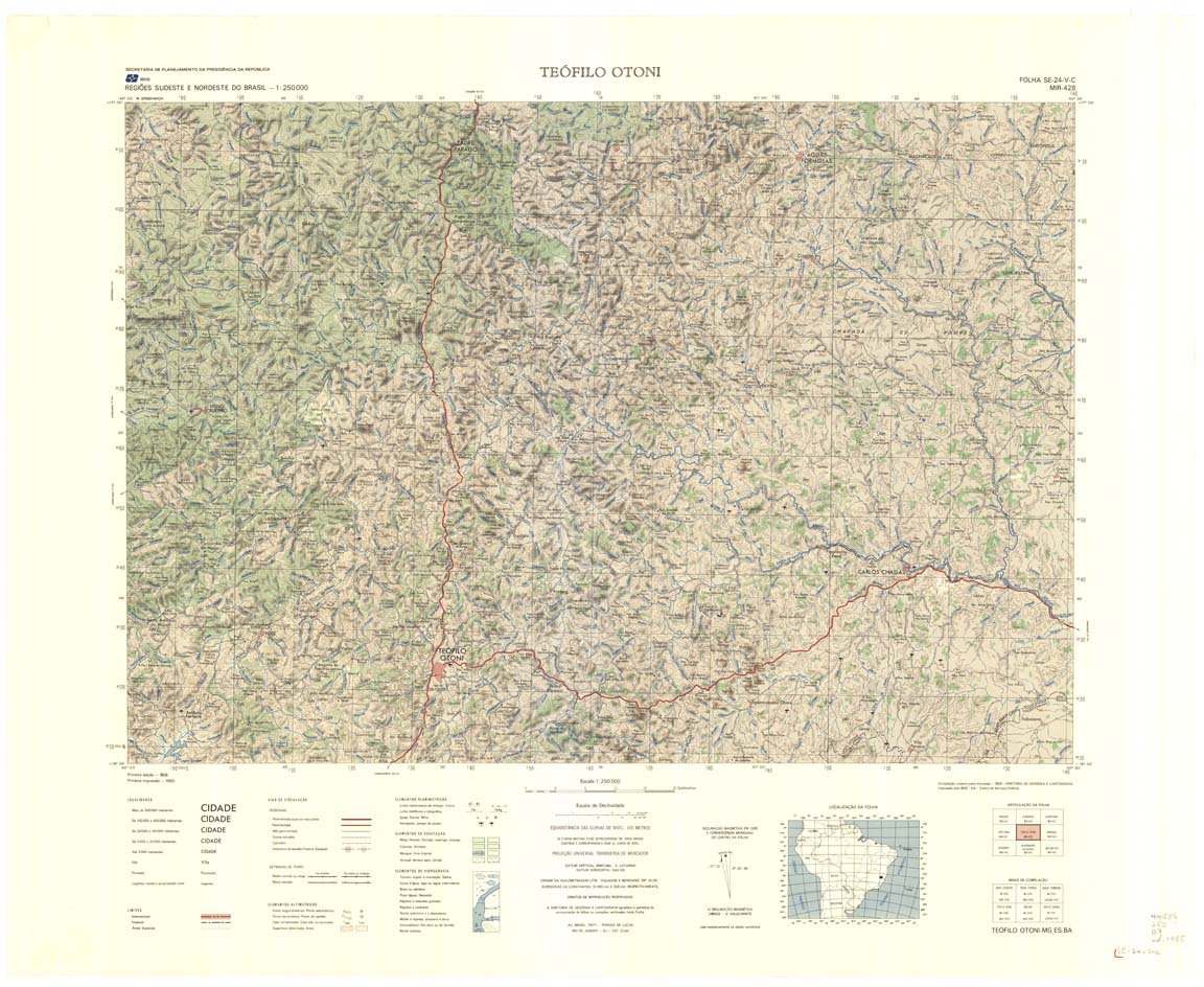
| 428 | SE-24-V-C | TEOFILO OTONI | IBGE | Top / Radar | jpg | tif | zip | |
| 429 | SE-24-V-D | NANUQUE | IBGE | Top / Radar | jpg | tif | zip | |
| 430 | SE-21-Y-B | AMOLAR | DSG | Top / Radar | jpg | tif | zip | |
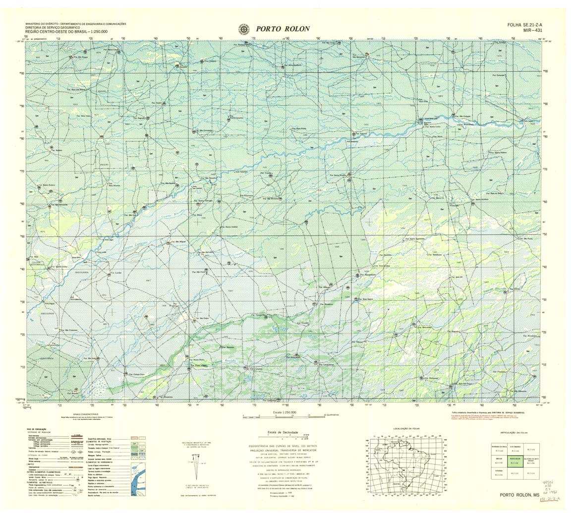
| 431 | SE-21-Z-A | PORTO ROLON | DSG | Top / Radar | jpg | tif | zip | |
| 431(2) | SE-21-Z-A | PORTO ROLON | jpg | tif | ||||
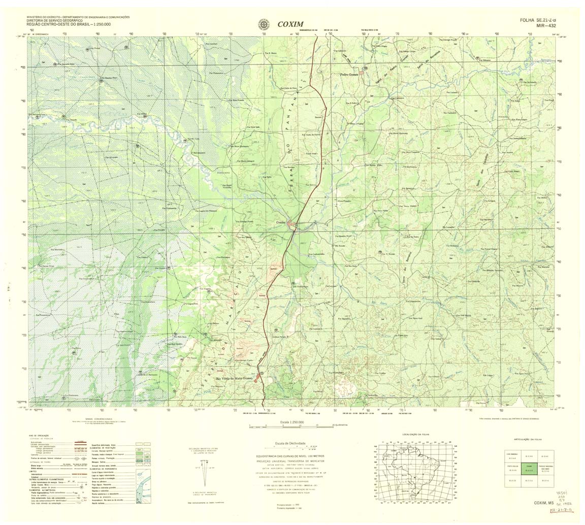
| 432 | SE-21-Z-B | COXIM | DSG | Top / Radar | jpg | tif | zip | |
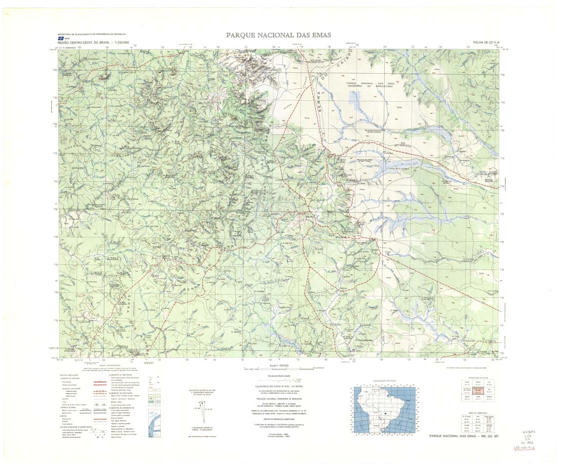
| 433 | SE-22-Y-A | PARQUE NACIONAL DAS EMAS | IBGE | Top / Radar | jpg | tif | zip | |
| 434 | SE-22-Y-B | CACU | IBGE | Top / Radar | jpg | tif | zip | |
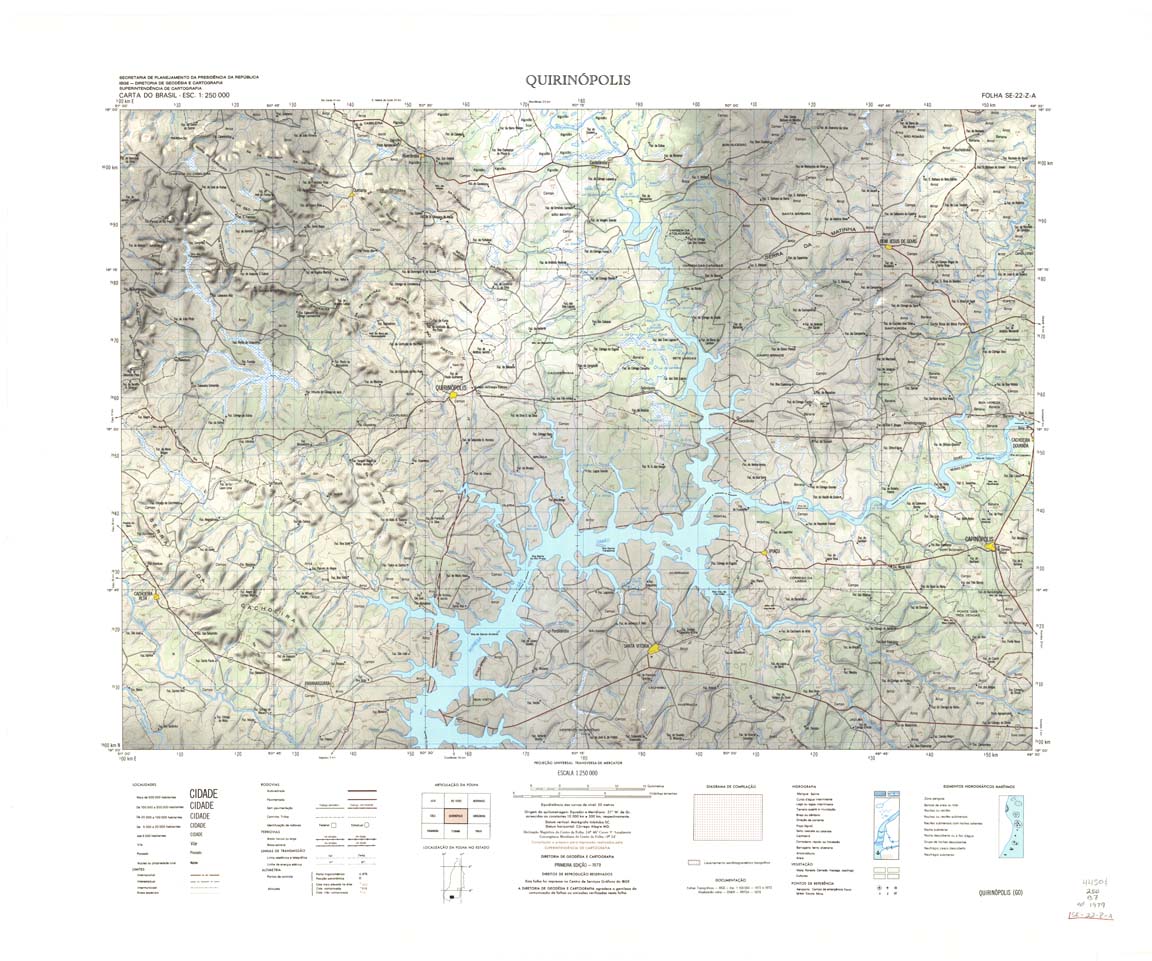
| 435 | SE-22-Z-A | QUIRINOPOLIS | IBGE | Top / Radar | jpg | tif | zip | |
| 436 | SE-22-Z-B | UBERLANDIA | IBGE | Top / Radar | jpg | tif | zip | |
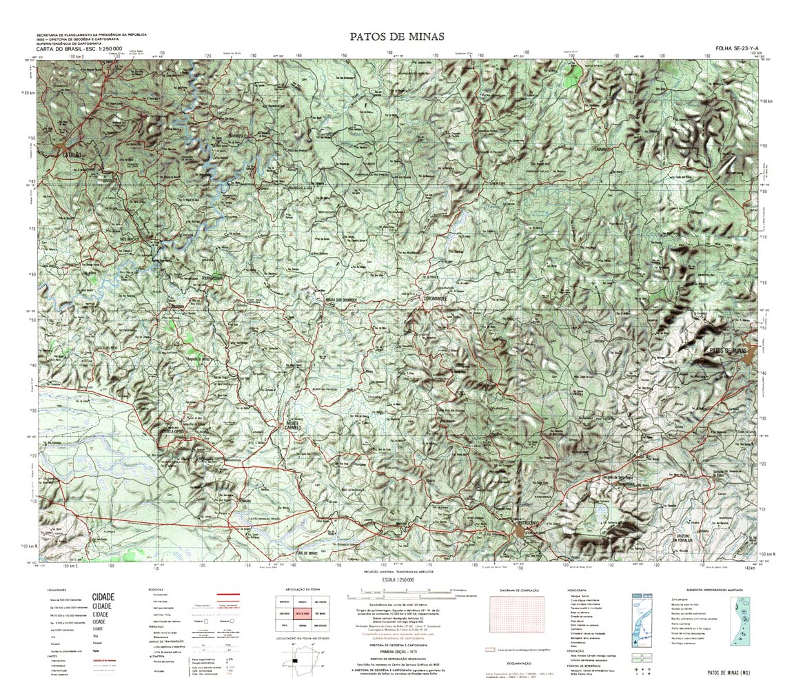
| 437 | SE-23-Y-A | PATOS DE MINAS | IBGE | Top / Radar | jpg | tif | zip | |
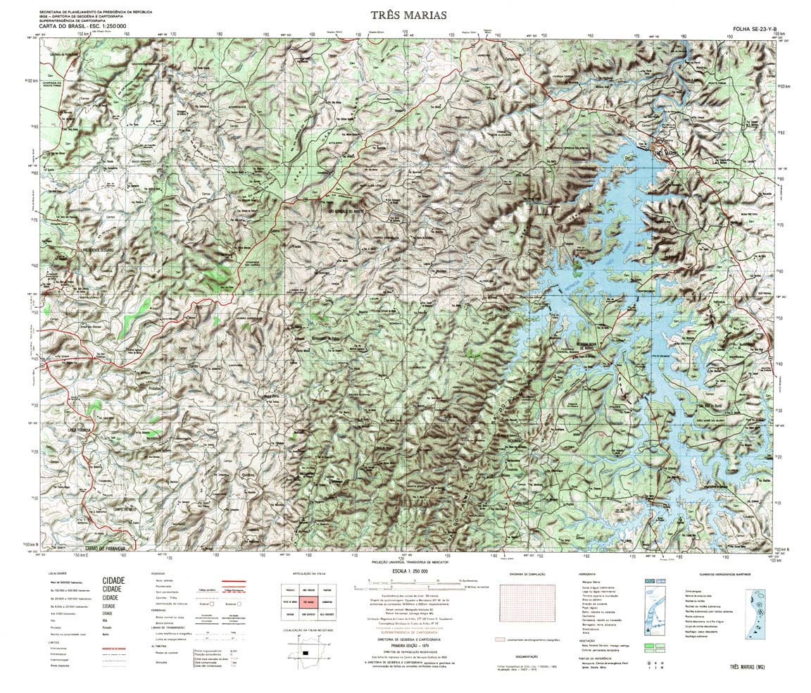
| 438 | SE-23-Y-B | TRES MARIAS | IBGE | Top / Radar | jpg | tif | zip | |
| 438(2) | SE-23-Y-B | TRES MARIAS | jpg | tif | ||||
| 439 | SE-23-Z-A | CURVELO | IBGE | Top / Radar | jpg | tif | zip | |
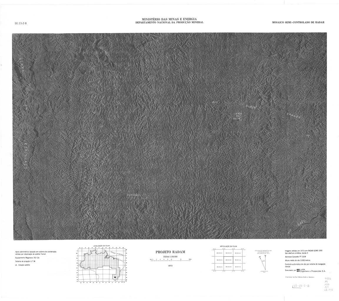
| 440 | SE-23-Z-B | GUANHAES | IBGE | Top / Radar | jpg | tif | zip | |
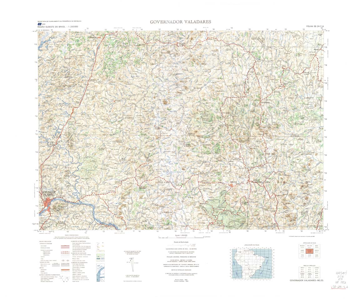
| 441 | SE-24-Y-A | GOVERNADOR VALADARES | IBGE | Top / Radar | jpg | tif | zip | |
| 441(2) | jpg | tif | ||||||
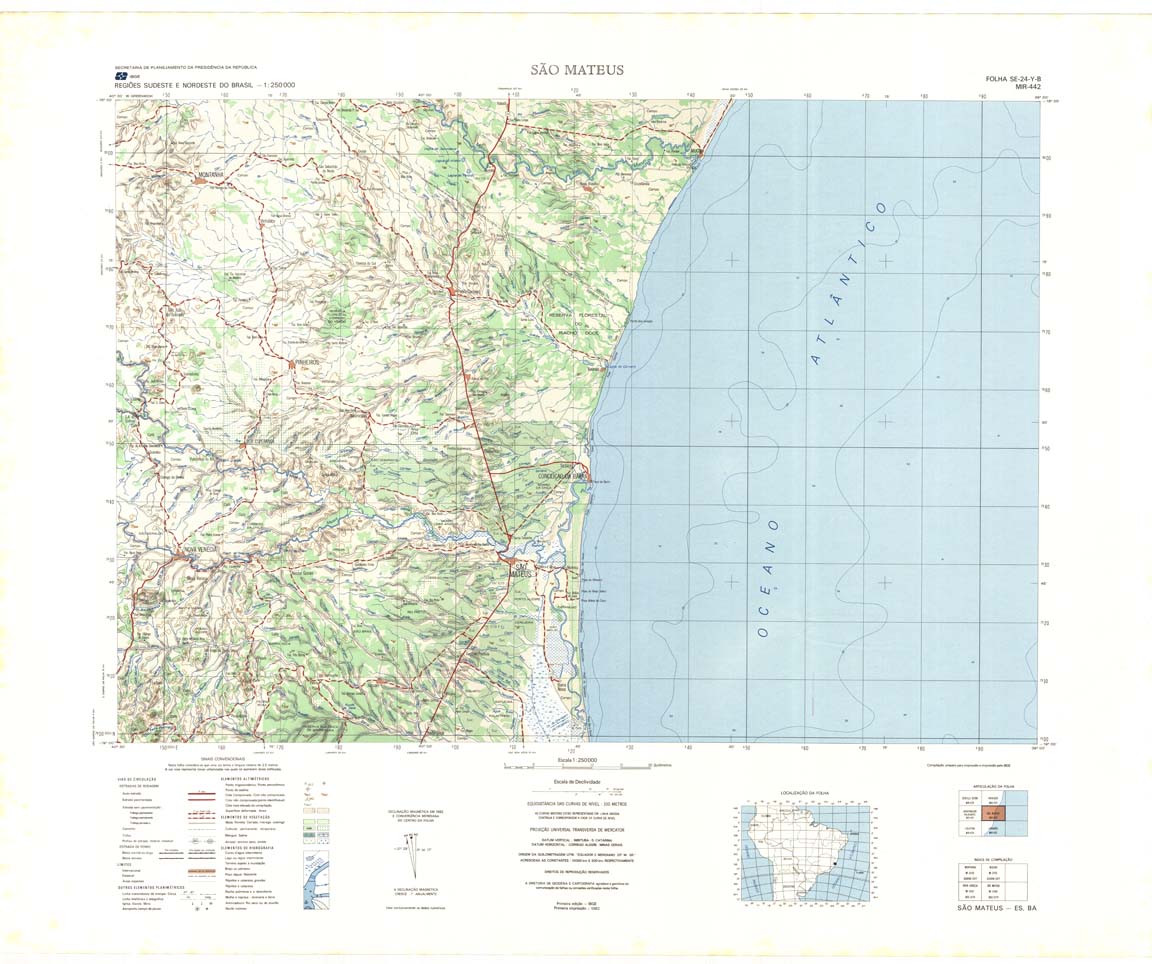
| 442 | SE-24-Y-B | SAO MATEUS | IBGE | Top / Radar | jpg | tif | zip | |
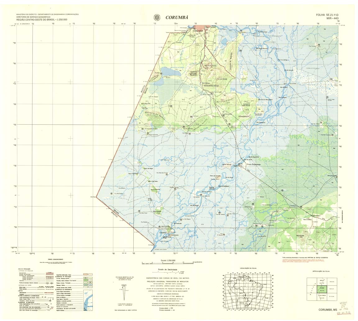
| 443 | SE-21-Y-D | CORUMBA | DSG | Top / Radar | jpg | tif | zip | |
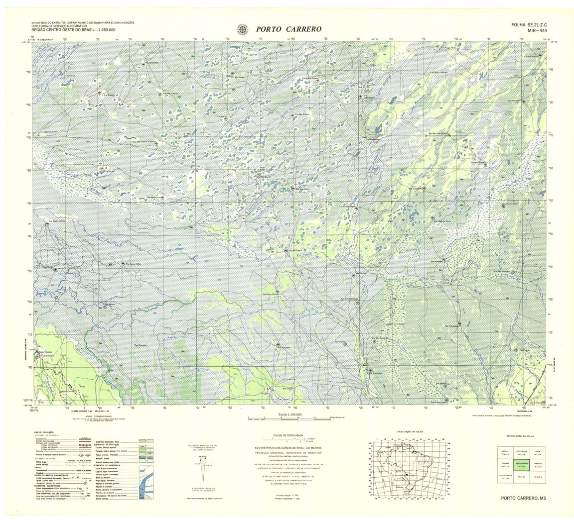
| 444 | SE-21-Z-C | PORTO CARRERO | DSG | Top / Radar | jpg | tif | zip | |
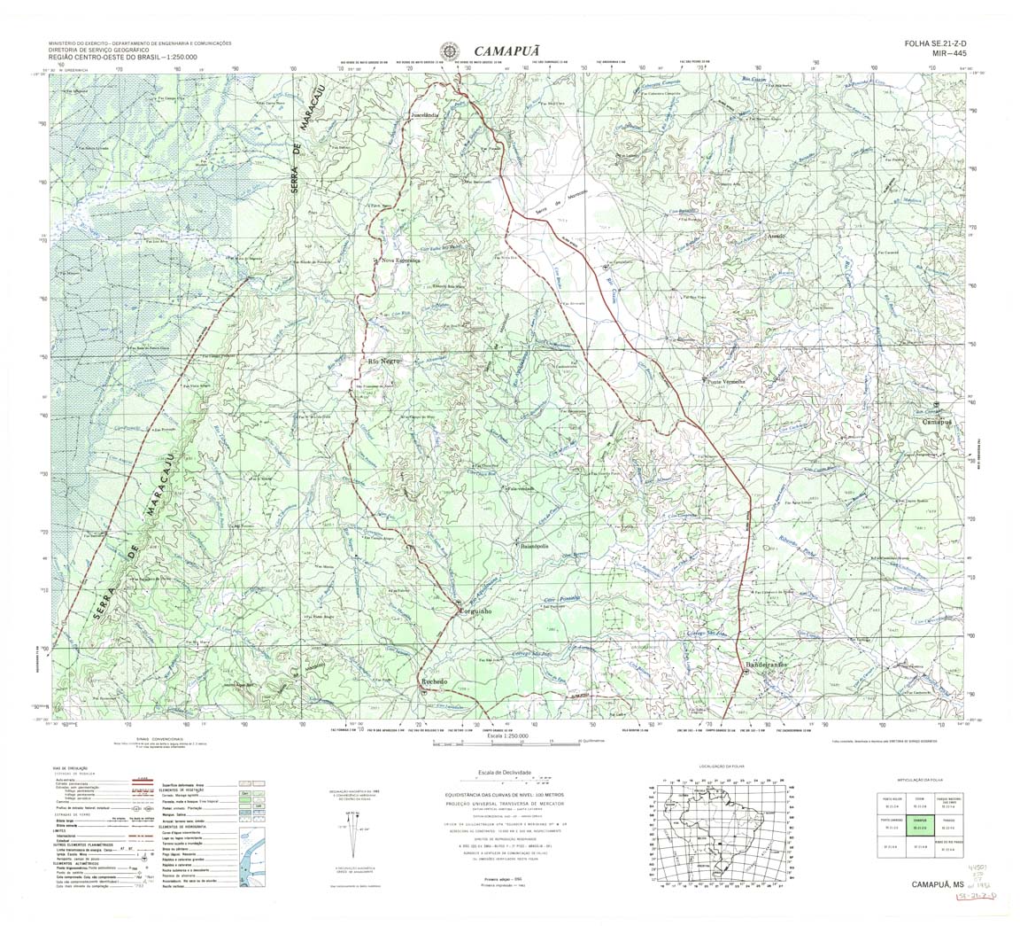
| 445 | SE-21-Z-D | CAMAPUA | DSG | Top / Radar | jpg | tif | zip | |
| 446 | SE-22-Y-C | PARAISO | IBGE | Top / Radar | jpg | tif | zip | |
| 447 | SE-22-Y-D | PARANAIBA | IBGE | Top / Radar | jpg | tif | zip | |
| 448 | SE-22-Z-C | ITURAMA | IBGE | Top / Radar | jpg | tif | zip | |
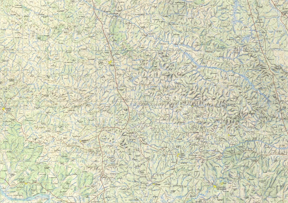
| 449 | SE-22-Z-D | PRATA | IBGE | Top / Radar | jpg | tif | zip | |
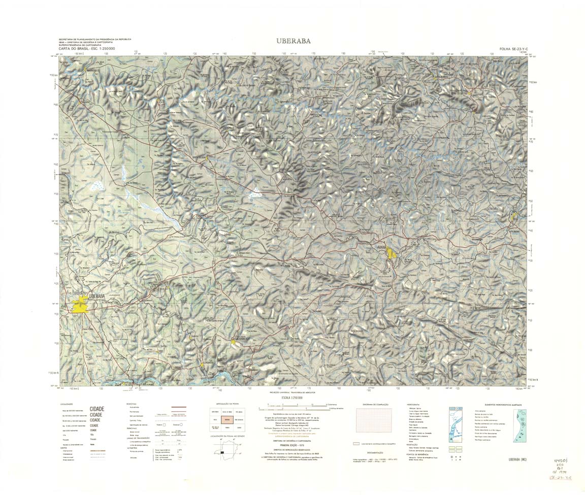
| 450 | SE-23-Y-C | UBERABA | IBGE | Top / Radar | jpg | tif | zip | |
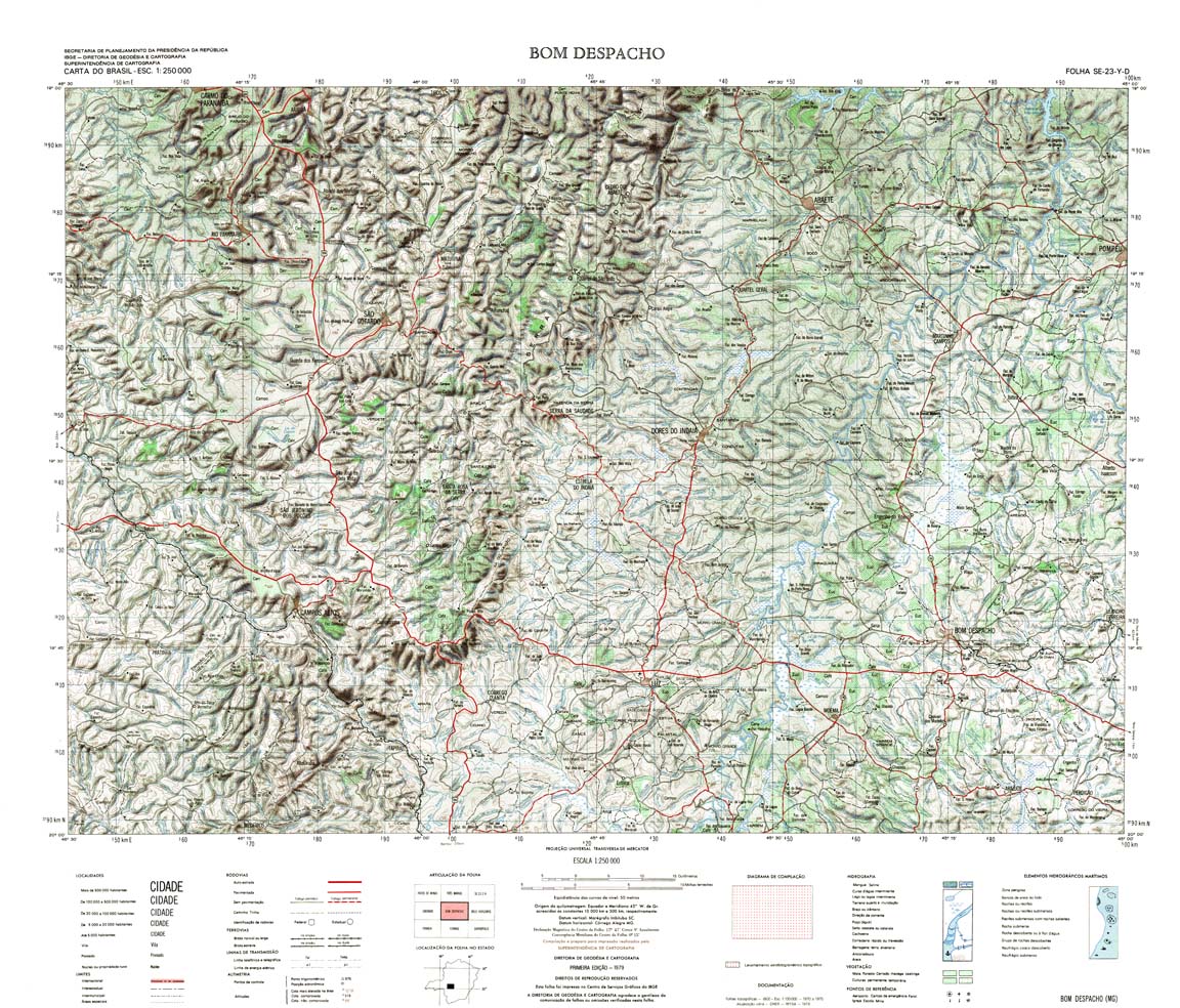
| 451 | SE-23-Y-D | BOM DESPACHO | IBGE | Top / Radar | jpg | tif | zip | |
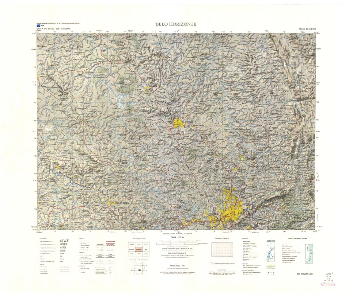
| 452 | SE-23-Z-C | BELO HORIZONTE | IBGE | Top / Radar | jpg | tif | zip | |
| 452(2) | SE-23-Z-C | BELO HORIZONTE | jpg | tif | ||||
| 453 | SE-23-Z-D | IPATINGA | IBGE | Top / Radar | jpg | tif | zip | |
| 454 | SE-24-Y-C | COLATINA | IBGE | Top / Radar | jpg | tif | zip | |
| 455 | SE-24-Y-D | LINHARES | IBGE | Top / Radar | jpg | tif | zip | |
| 456 | SF-21-V-B | ALDEIA TOMAZIA | DSG | Top / Radar | jpg | tif | zip | |
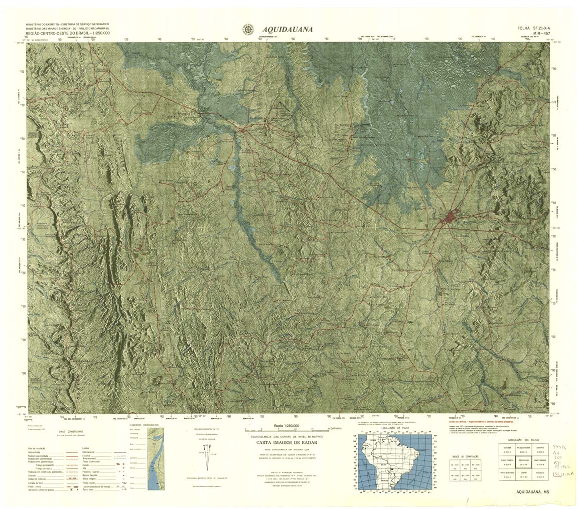
| 457 | SF-21-X-A | AQUIDAUANA | DSG | Top / Radar | jpg | tif | zip | |
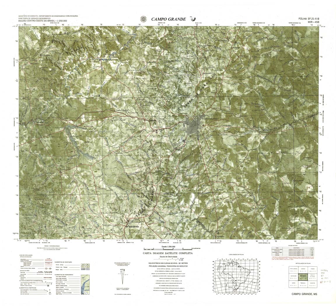
| 458 | SF-21-X-B | CAMPO GRANDE | DSG | Top / Radar | jpg | tif | zip | |
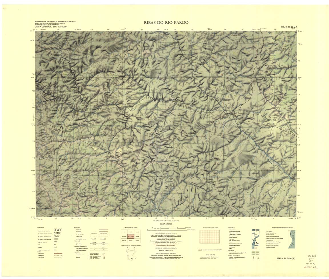
| 459 | SF-22-V-A | RIBAS DO RIO PARDO | IBGE | Top / Radar | jpg | tif | zip | |
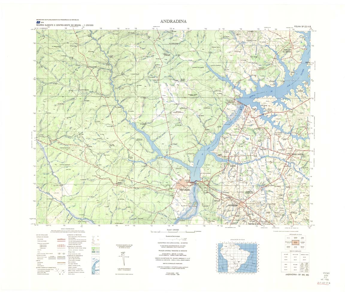
| 460 | SF-22-V-B | ANDRADINA | IBGE | Top / Radar | jpg | tif | zip | |
| 461 | SF-22-X-A | VOTUPORANGA | IBGE | Top / Radar | jpg | tif | zip | |
| 462 | SF-22-X-B | SAO JOSE DO RIO PRETO | IBGE | Top / Radar | jpg | tif | zip | |
| 463 | SF-23-V-A | FRANCA | IBGE | Top / Radar | jpg | tif | zip | |
| 464 | SF-23-V-B | FURNAS | IBGE | Top / Radar | jpg | tif | zip | |
| 465 | SF-23-X-A | DIVINOPOLIS | IBGE | Top / Radar | jpg | tif | zip | |
| 466-rbw | PONTE NOVA | jpg | tif | |||||
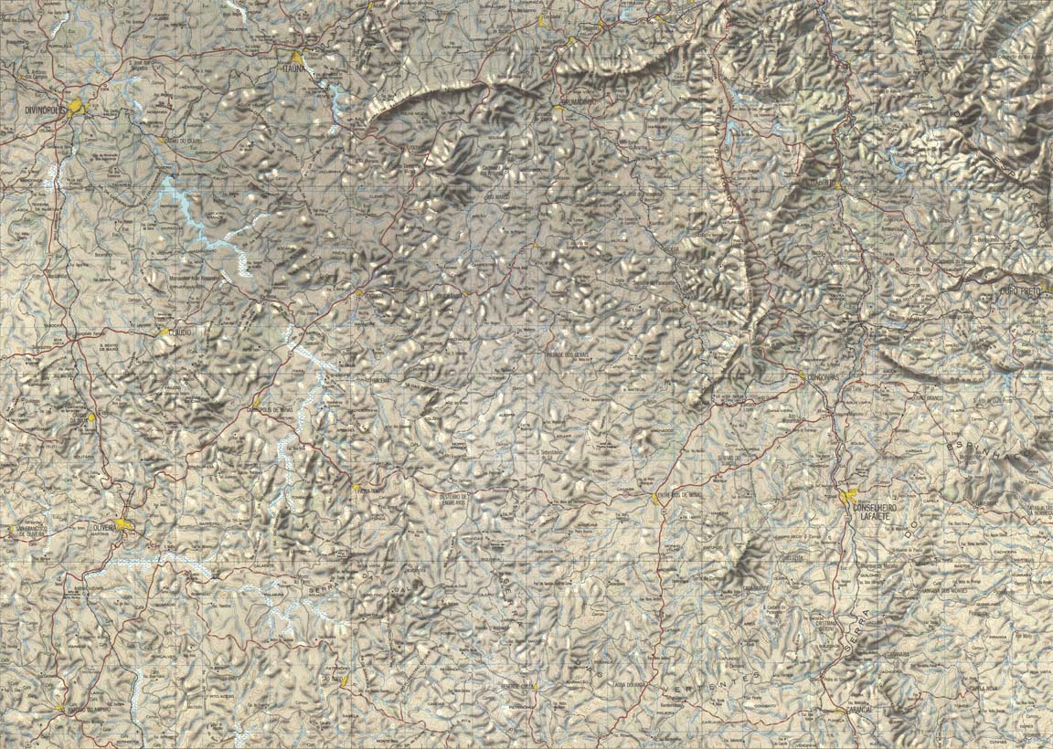
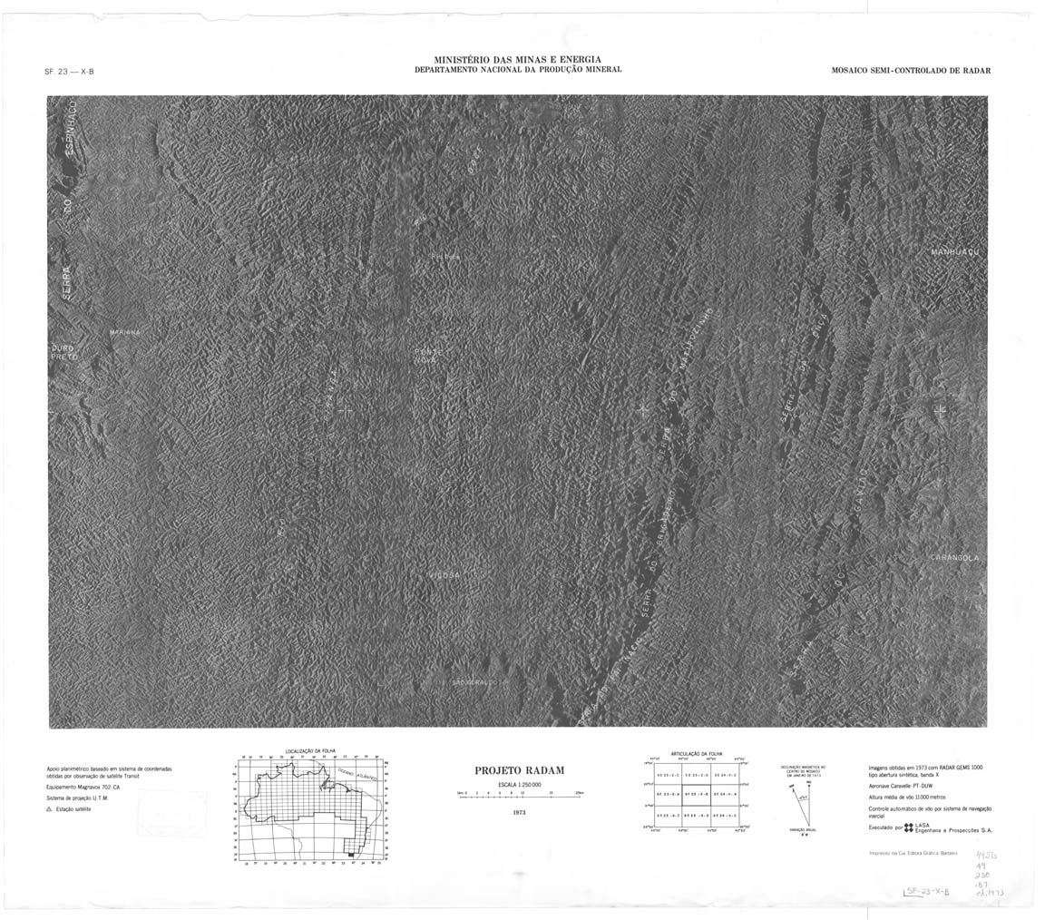
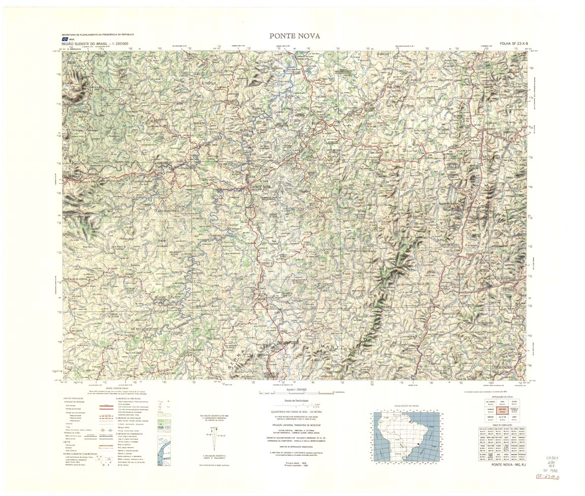
| 466-8bit | SF-23-X-B | PONTE NOVA | IBGE | Top / Radar | jpg | tif | zip | |
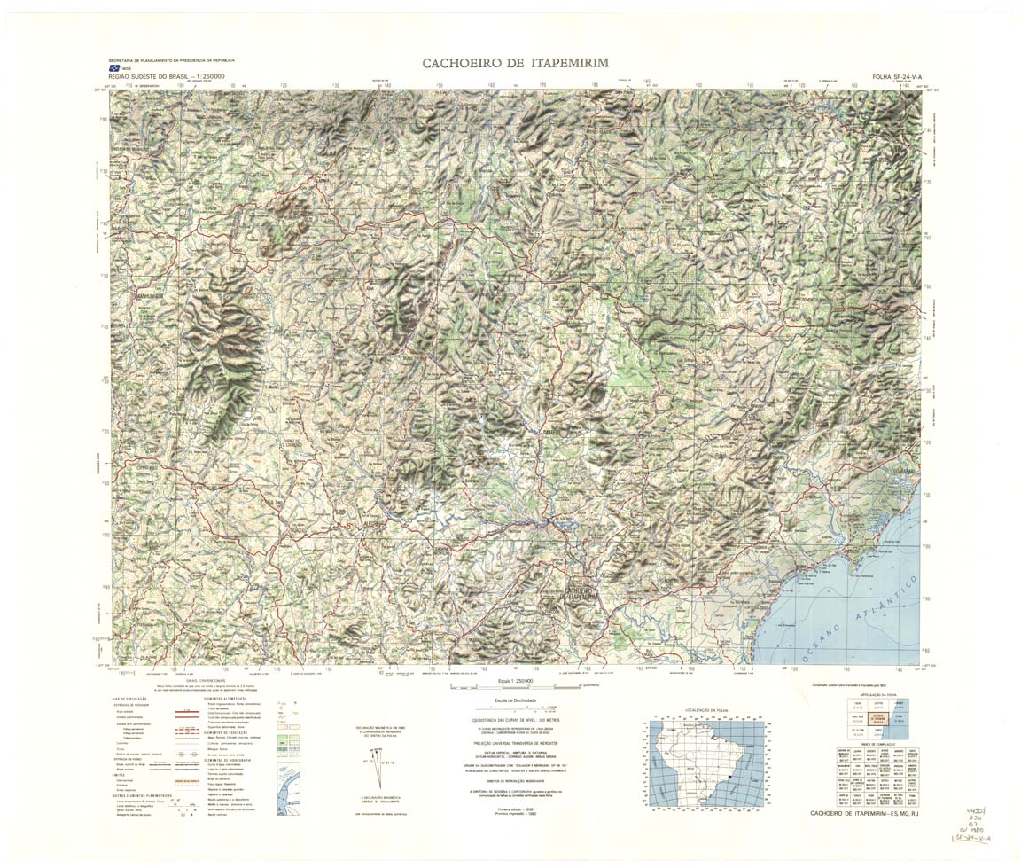
| 467-8bit | SF-24-V-A | CACHOEIRO DO ITAPEMIRIM | jpg | tif | zip | |||
| 467-rbw | CACHOEIRO DO ITAPEMIRIM | jpg | tif | |||||
| 468-8bit | SF-24-V-B | VITORIA | IBGE | Top / Radar | jpg | tif | zip | |
| 468-rbw | SF-24-V-B | VITORIA | jpg | tif | ||||
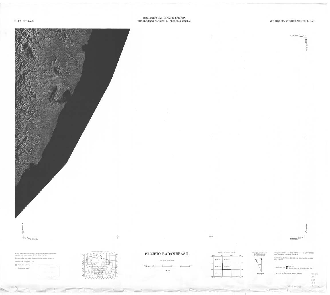
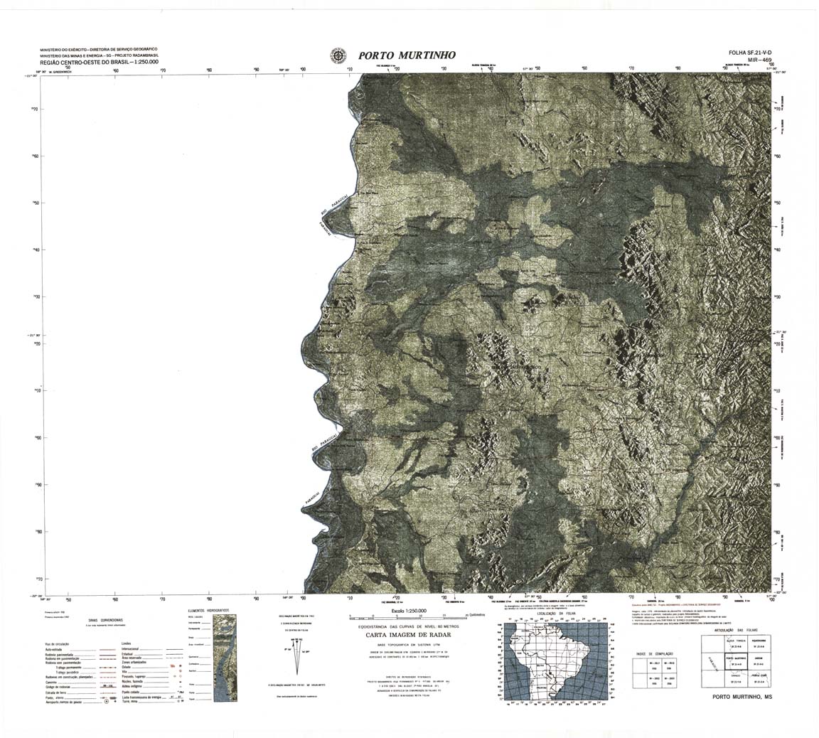
| 469 | SF-21-V-D | PORTO MURTINHO | DSG | Top / Radar | jpg | tif | zip | |
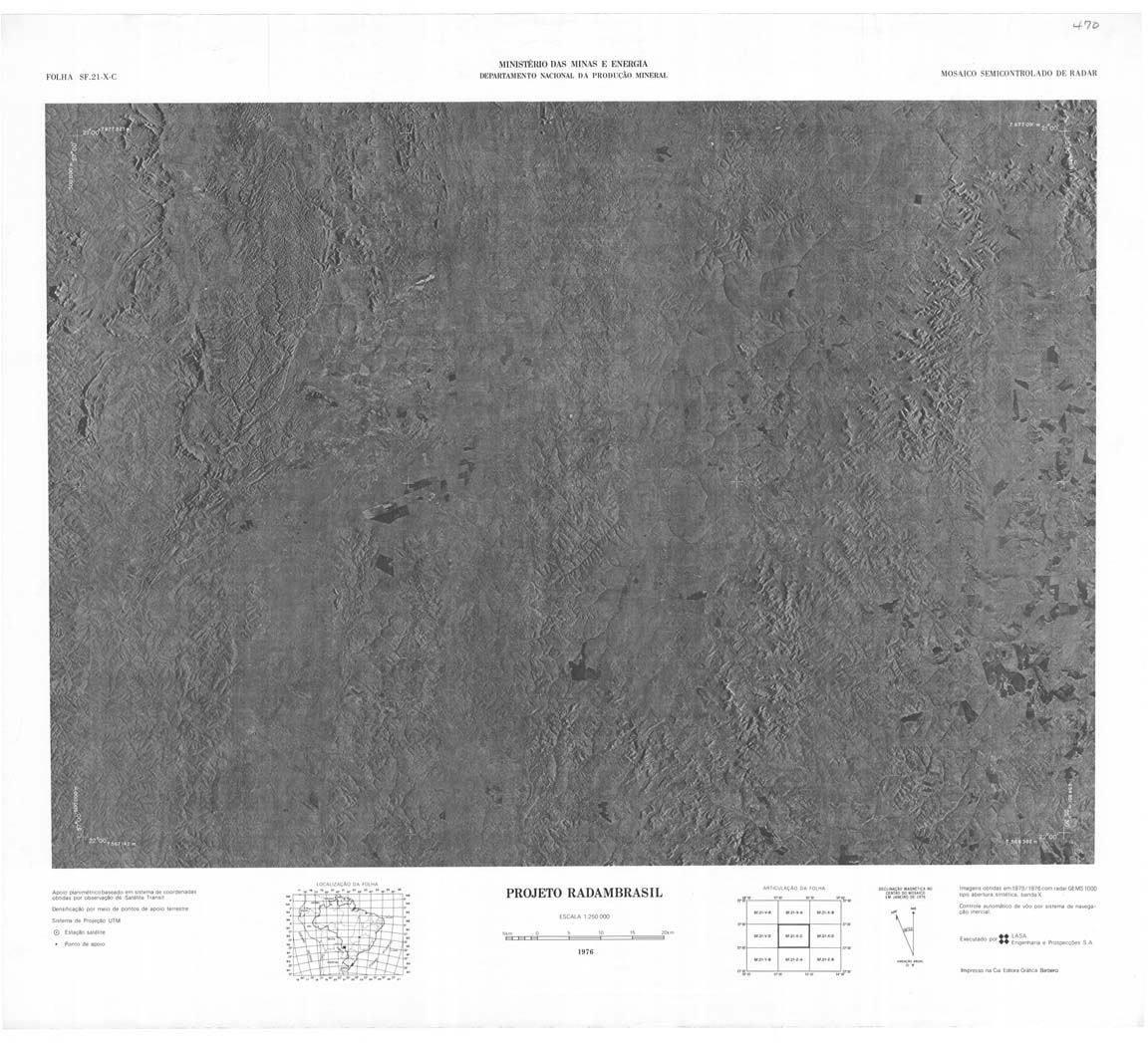
| 470 | SF-21-X-C | JARDIM | jpg | tif | zip | |||
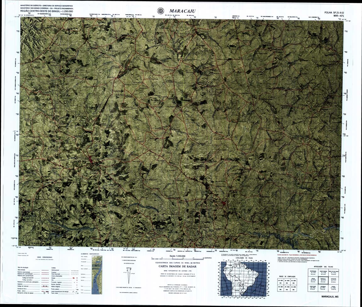
| 471 | SF-21-XD | MARACAJU | jpg | tif | zip | |||
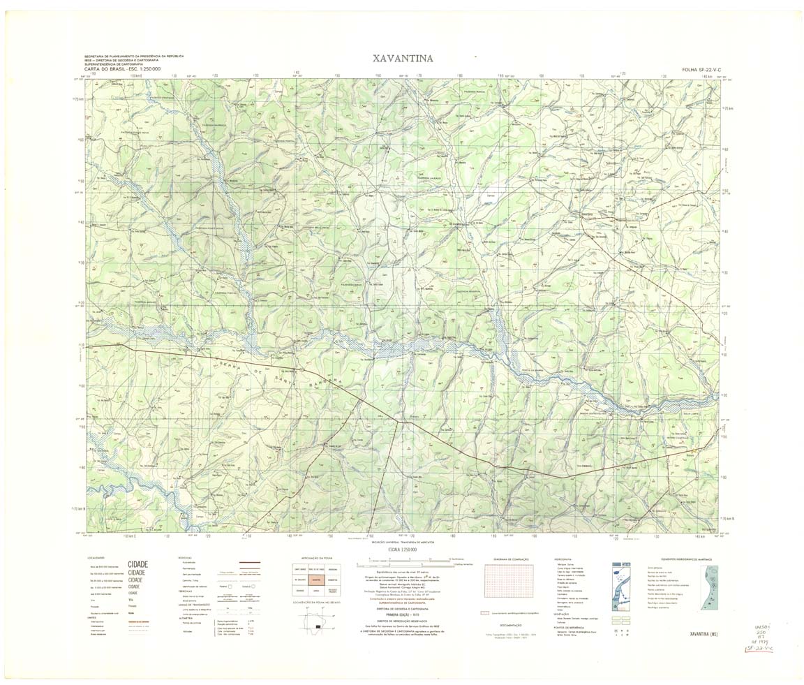
| 472 | SF-22-V-C | XAVANTINA | IBGE | Top / Radar | jpg | tif | zip | |
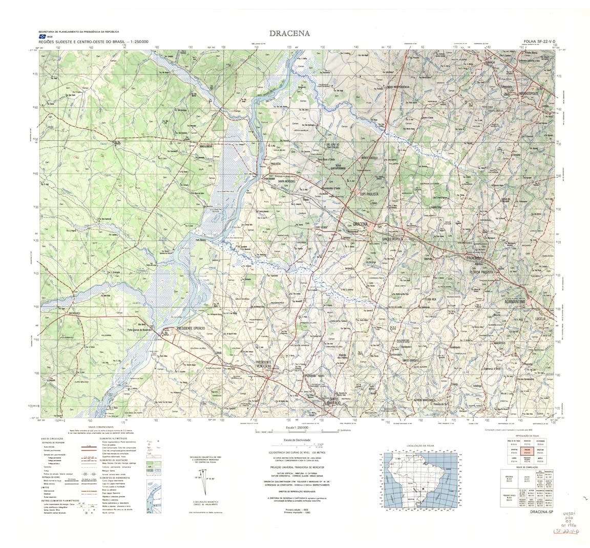
| 473 | SF-22-V-D | DRACENA | IBGE | Top / Radar | jpg | tif | zip | |
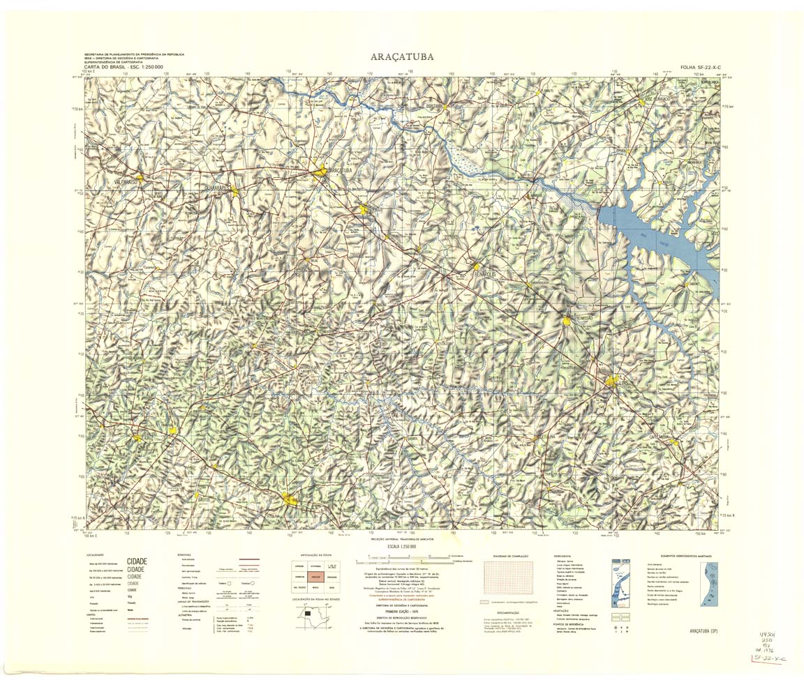
| 474 | SF-22-X-C | ARACATUBA | IBGE | Top / Radar | jpg | tif | zip | |
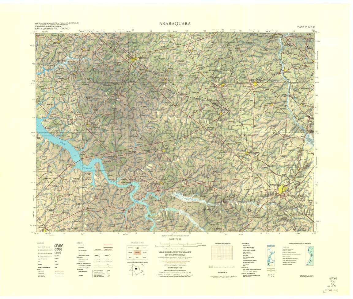
| 475 | SF-22-X-D | ARARAQUARA | IBGE | Top / Radar | jpg | tif | zip | |
| 476 | SF-23-V-C | RIBEIRAO PRETO | IBGE | Top / Radar | jpg | tif | zip | |
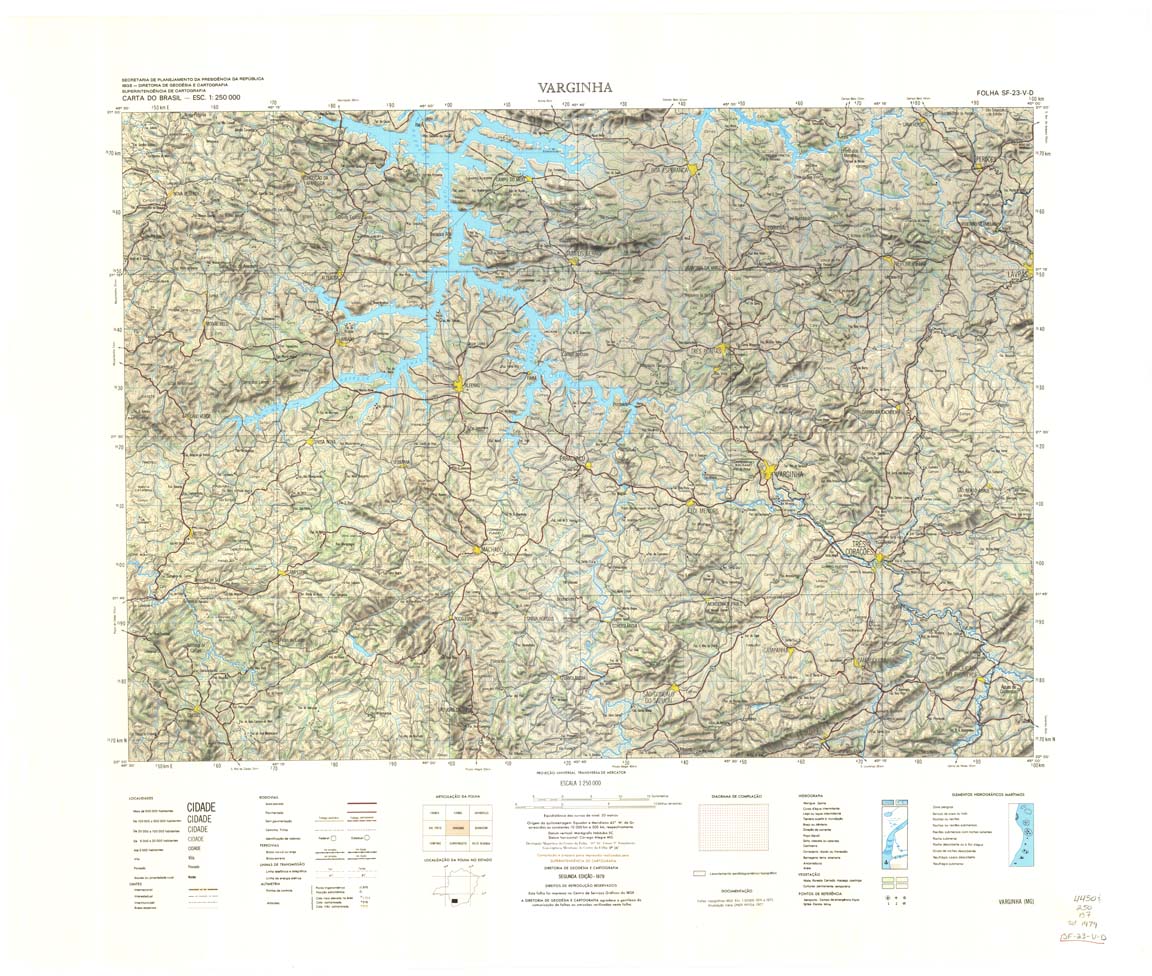
| 477 | SF-23-V-D | VARGINHA | IBGE | Top / Radar | jpg | tif | zip | |
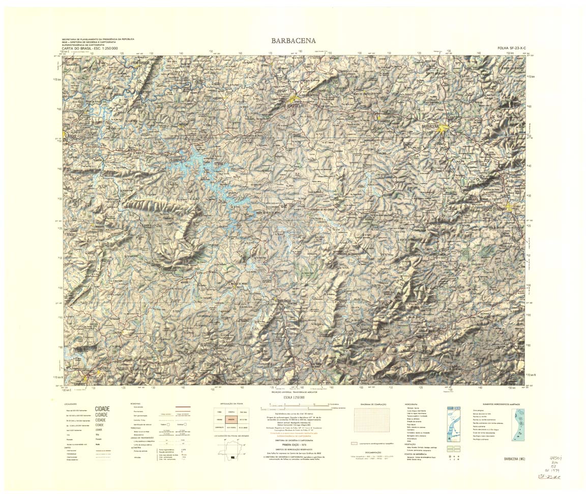
| 478 | SF-23-X-C | BARBACENA | IBGE | Top / Radar | jpg | tif | zip | |
| 479 | SF-23-X-D | JUIZ DE FORA | IBGE | Top / Radar | jpg | tif | zip | |
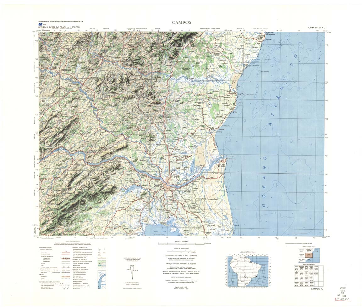
| 480 | SF-24-V-C | CAMPOS | IBGE | Top / Radar | jpg | tif | zip | |
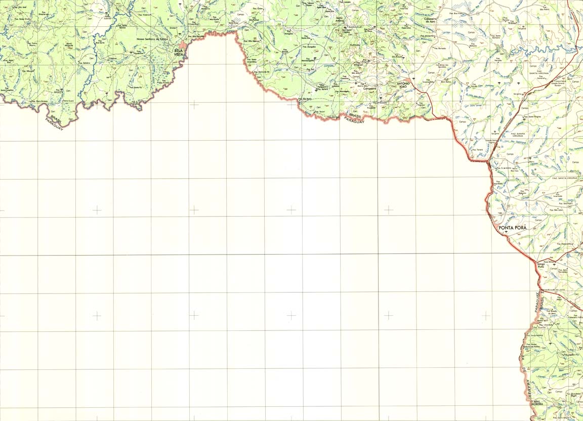
| 482 | SF-21-Z-A | PONTA PORA | IBGE | Top / Radar | jpg | tif | zip | |
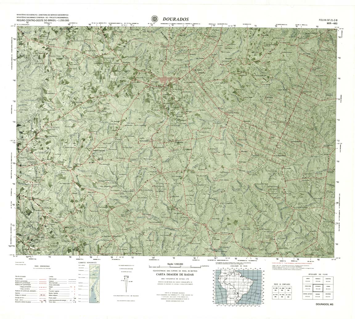
| 483 | SF-21-Z-B | DOURADOS | DSG | Top / Radar | jpg | tif | zip | |
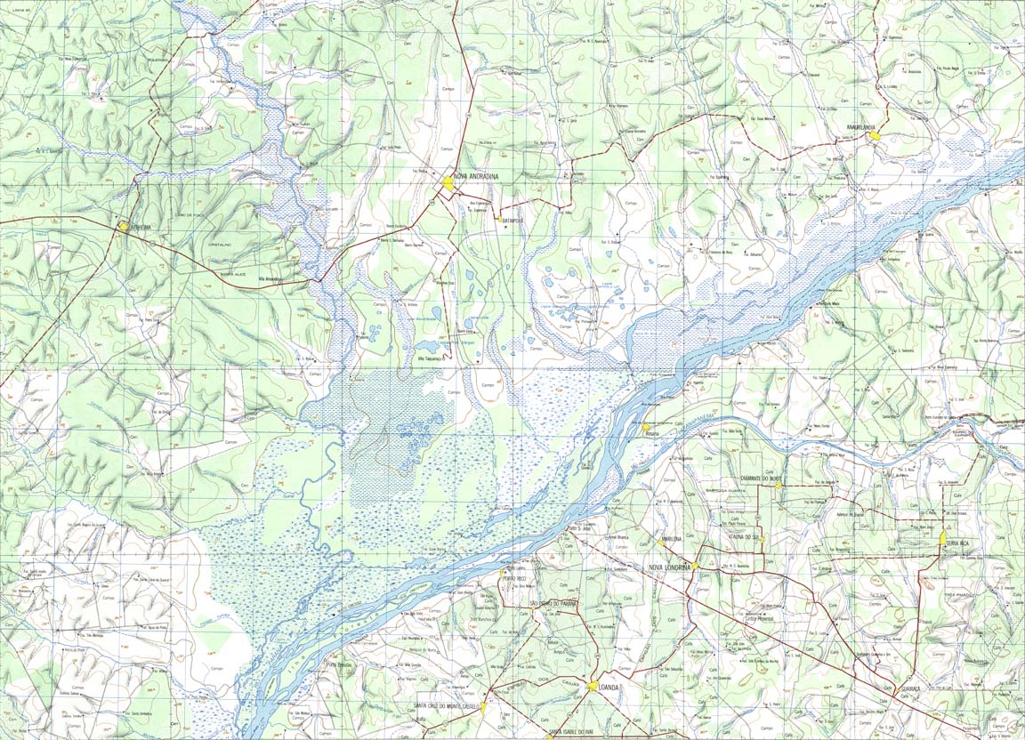
| 484 | SF-22-Y-A | LOANDA | IBGE | Top / Radar | jpg | tif | zip | |
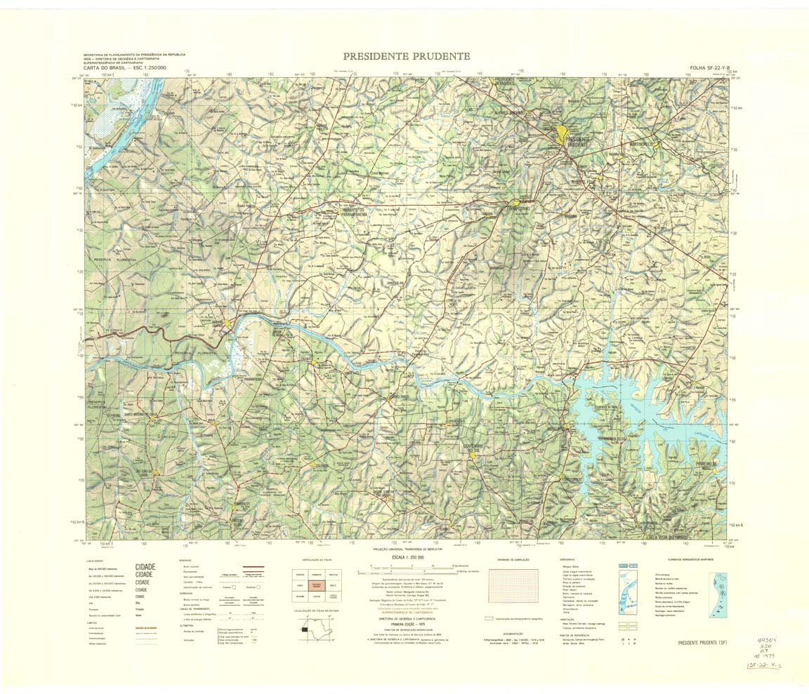
| 485 | SF-22-Y-B | PRESIDENTE PRUDENTE | IBGE | Top / Radar | jpg | tif | zip | |
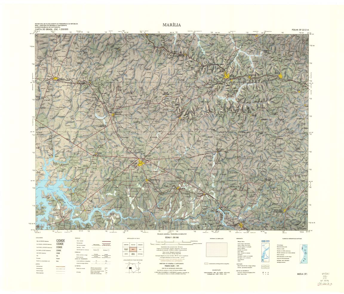
| 486 | SF-22-Z-A | MARILIA | IBGE | Top / Radar | jpg | tif | zip | |
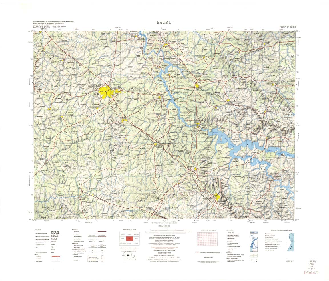
| 487 | SF-22-Z-B | BAURU | IBGE | Top / Radar | jpg | tif | zip | |
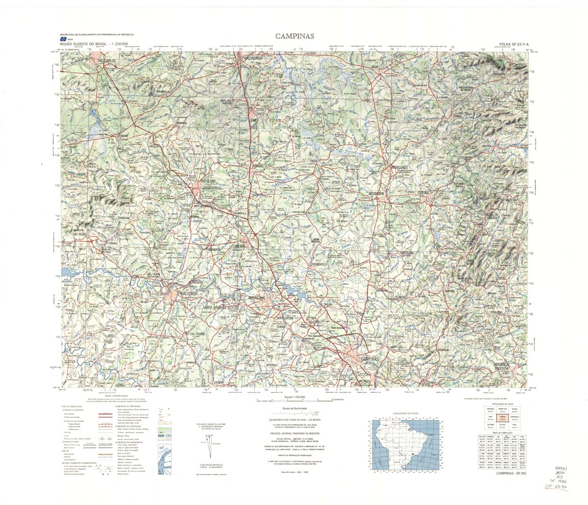
| 488 | SF-23-Y-A | CAMPINAS | IBGE | Top / Radar | jpg | tif | zip | |
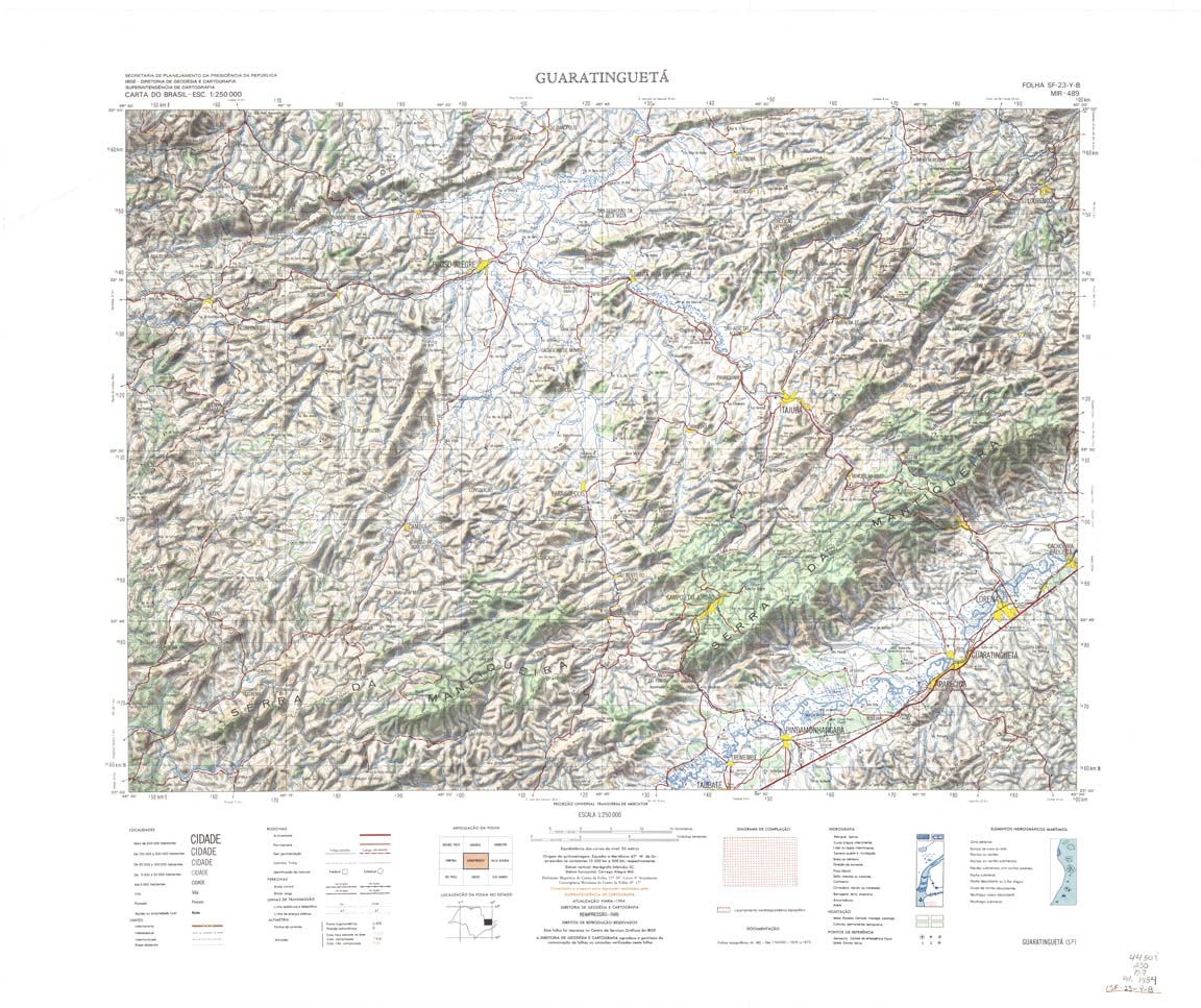
| 489 | SF-23-Y-B | GUARATINGUETA | IBGE | Top / Radar | jpg | tif | zip | |
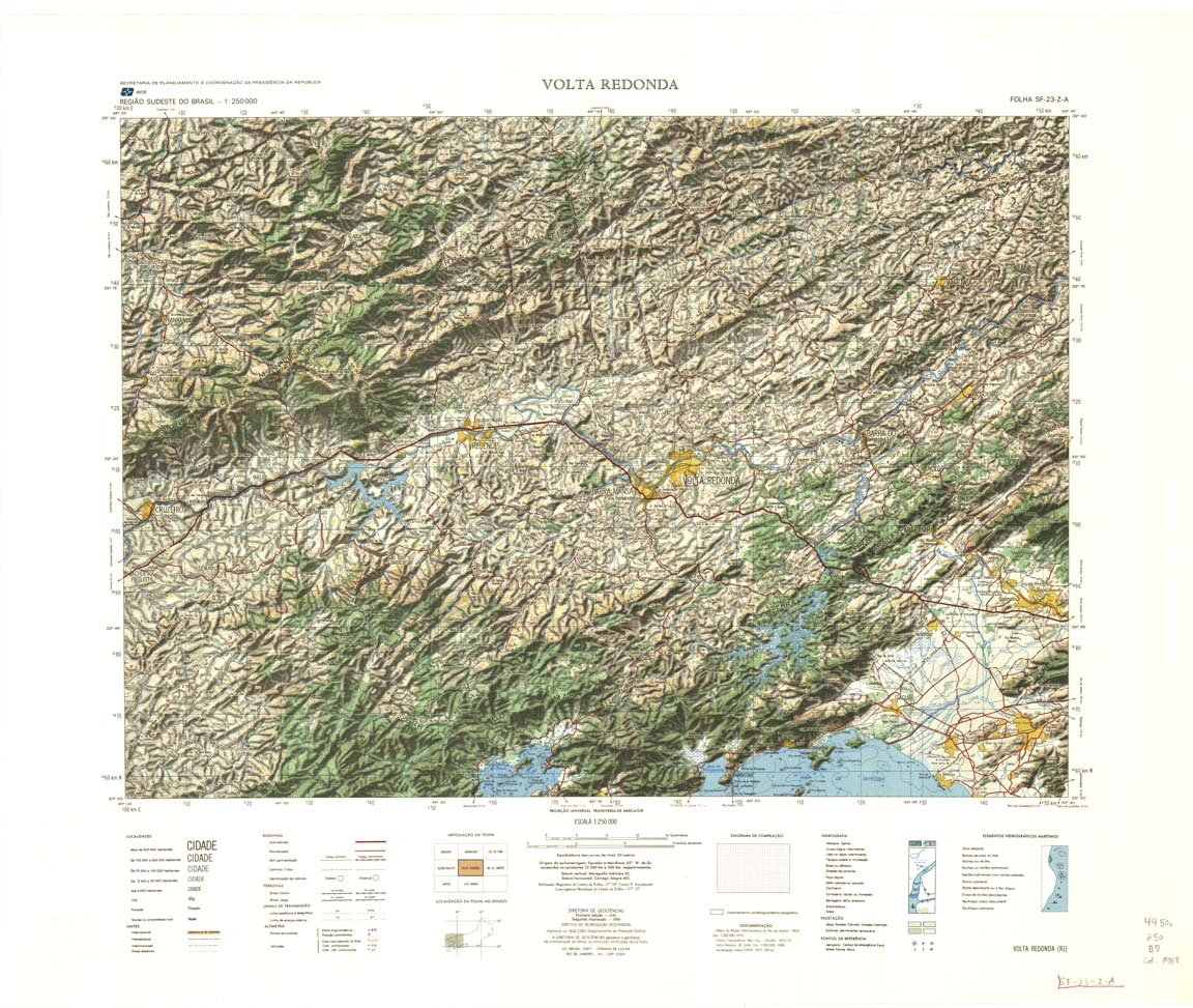
| 490 | SF-23-Z-A | VOLTA REDONDA | IBGE | Top / Radar | jpg | tif | zip | |
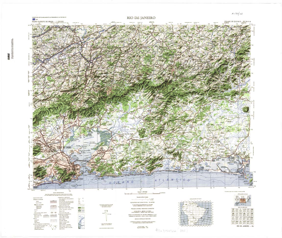
| 491_502a | SF-23-Z-B | RIO DE JANEIRO | IBGE | Top / Radar | jpg | tif | zip | |
| 491_502b | SF-23-Z-B | RIO DE JANEIRO | jpg | tif | zip | |||
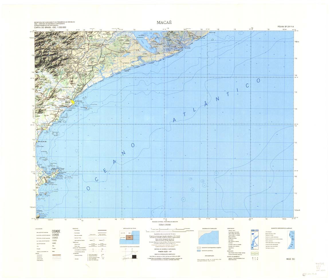
| 492 | SF-24-Y-A | MACAE | IBGE | Top / Radar | jpg | tif | zip | |
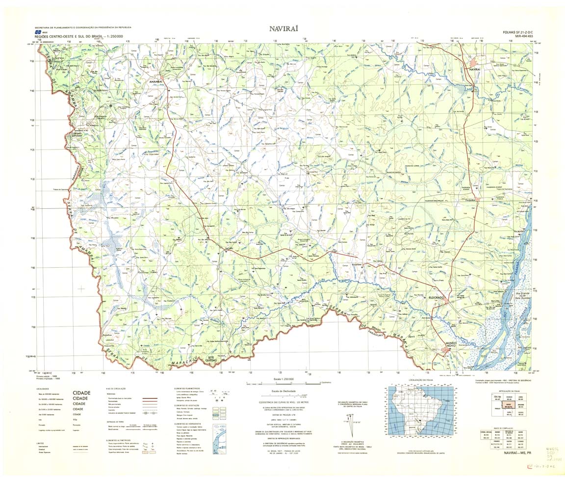
| 494_493 | NAVIARA | Top / Radar | jpg | tif | zip | |||
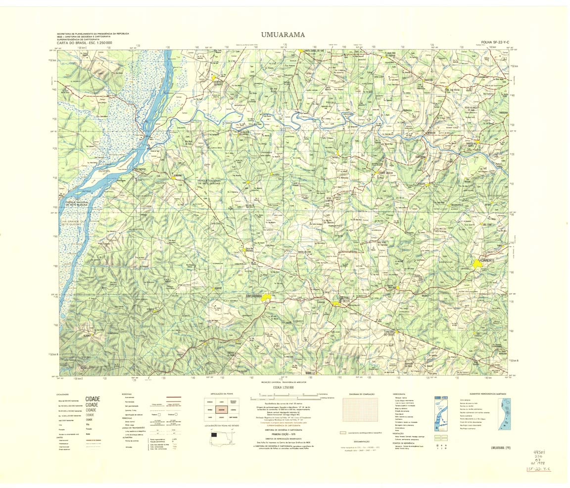
| 495 | SF-22-Y-C | UMUARAMA | IBGE | Top / Radar | jpg | tif | zip | |
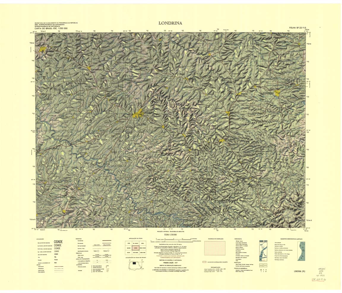
| 496 | SF-22-Y-D | LONDRINA | IBGE | Top / Radar | jpg | tif | zip | |
| 497 | SF-22-Z-C | CORNELIO PROCOPIO | 1985 | Top / Radar | jpg | tif | zip | |
| 498 | SF-22-Z-D | ITAPETININGA | IBGE | Top / Radar | jpg | tif | zip | |
| 499 | SF-23-Y-C | SAO PAULO | IBGE | Top / Radar | jpg | tif | zip | |
| 500 | SF-23-Y-D | SANTOS | IBGE | Top / Radar | jpg | tif | zip | |
| 501 | SF-23-Z-C | ILHA GRANDE | IBGE | Top / Radar | jpg | tif | zip | |
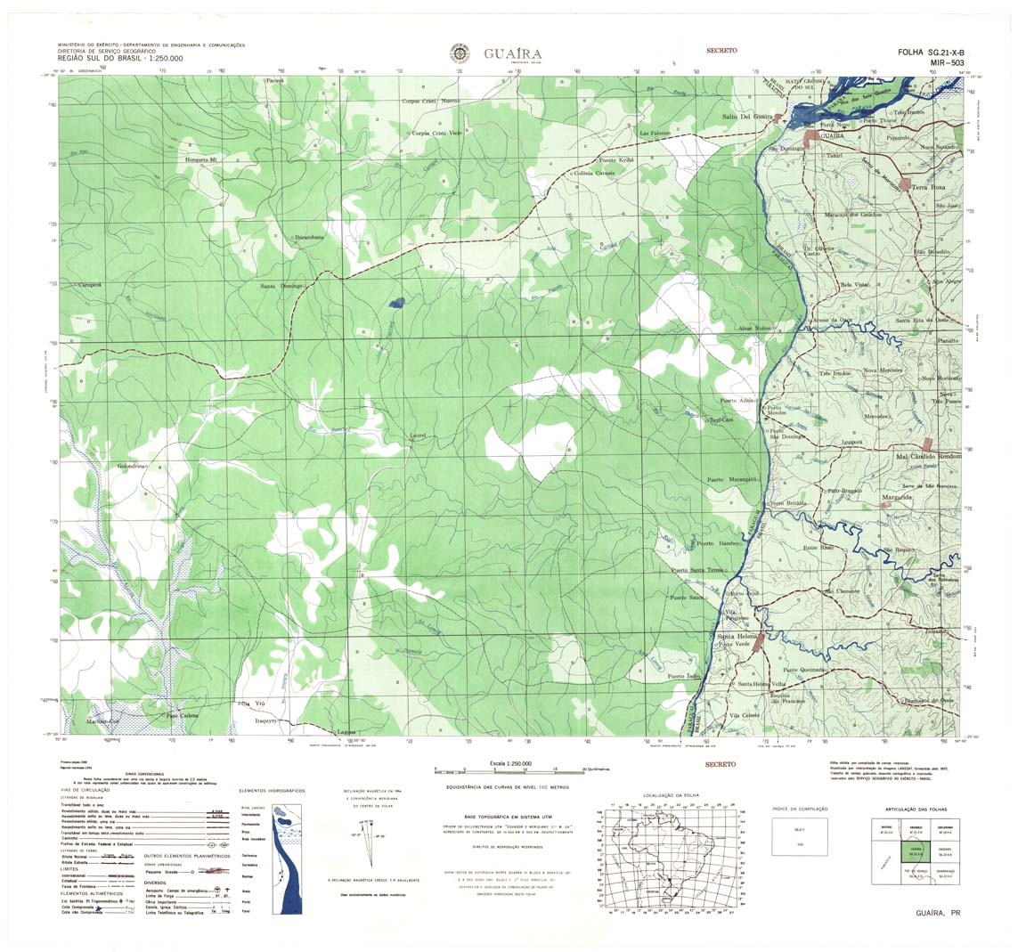
| 503 | SG-21-X-B | GUAIRA | DSG | Top / Radar | jpg | tif | zip | |
| 504 | SG-22-V-A | CASCAVEL | DSG | Top / Radar | jpg | tif | zip | |
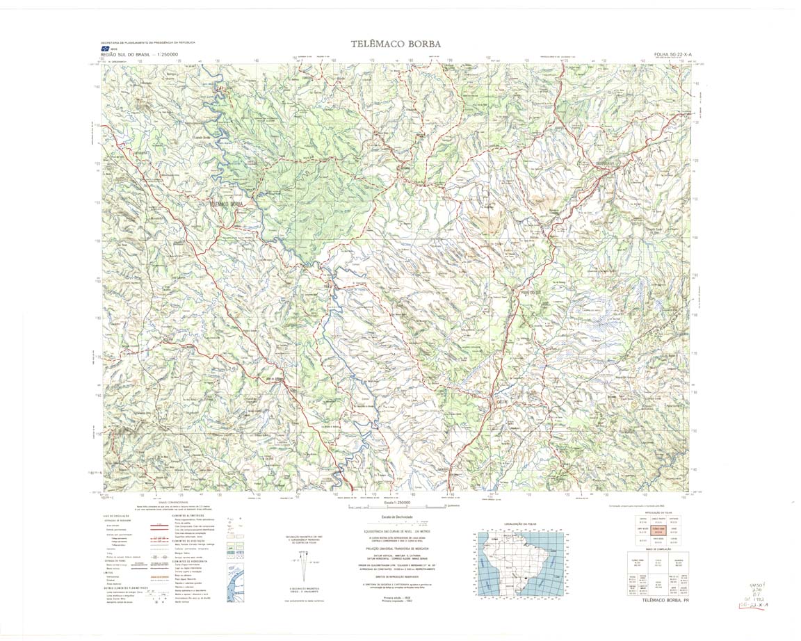
| 506 | SG-22-X-A | TELEMACO BORBA | IBGE | Top / Radar | jpg | tif | zip | |
| 507 | SG-22-X-B | ITARARE | IBGE | Top / Radar | jpg | tif | zip | |
| 508 | SG-23-V-A | IGUAPE | IBGE | Top / Radar | jpg | tif | zip | |
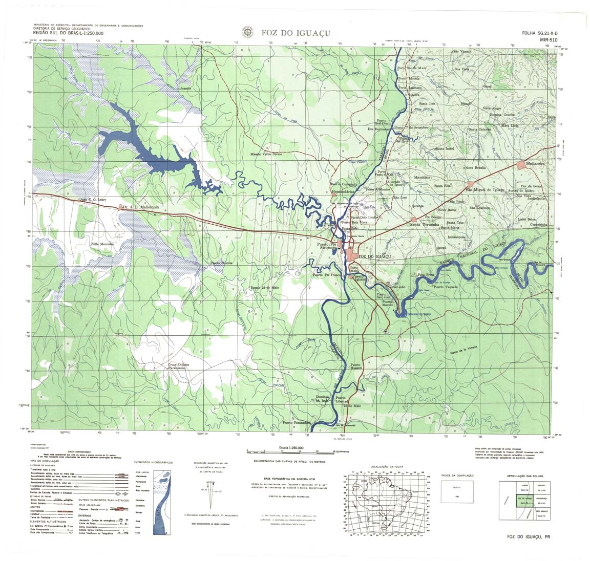
| 510 | SG-21-X-D | FOZ DO IGUACU | DSG | Top / Radar | jpg | tif | zip | |
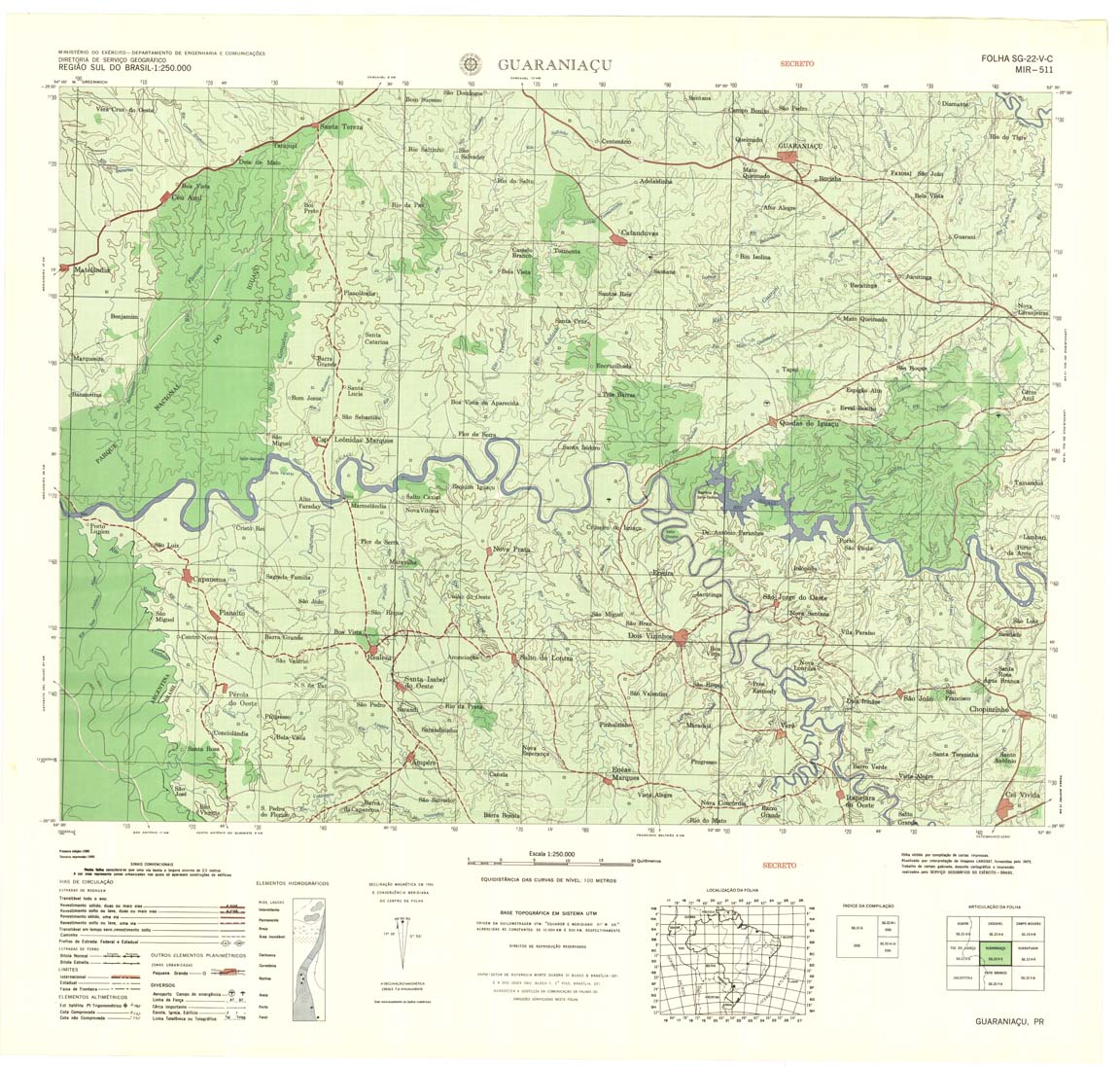
| 511 | SG-22-V-C | GUARANIACU | DSG | Top / Radar | jpg | tif | zip | |
| 512 | SG-22-V-D | GUARAPUAVA | DSG | Top / Radar | jpg | tif | zip | |
| 513 | SG-22-X-C | PONTA GROSSA | IBGE | Top / Radar | jpg | tif | zip | |
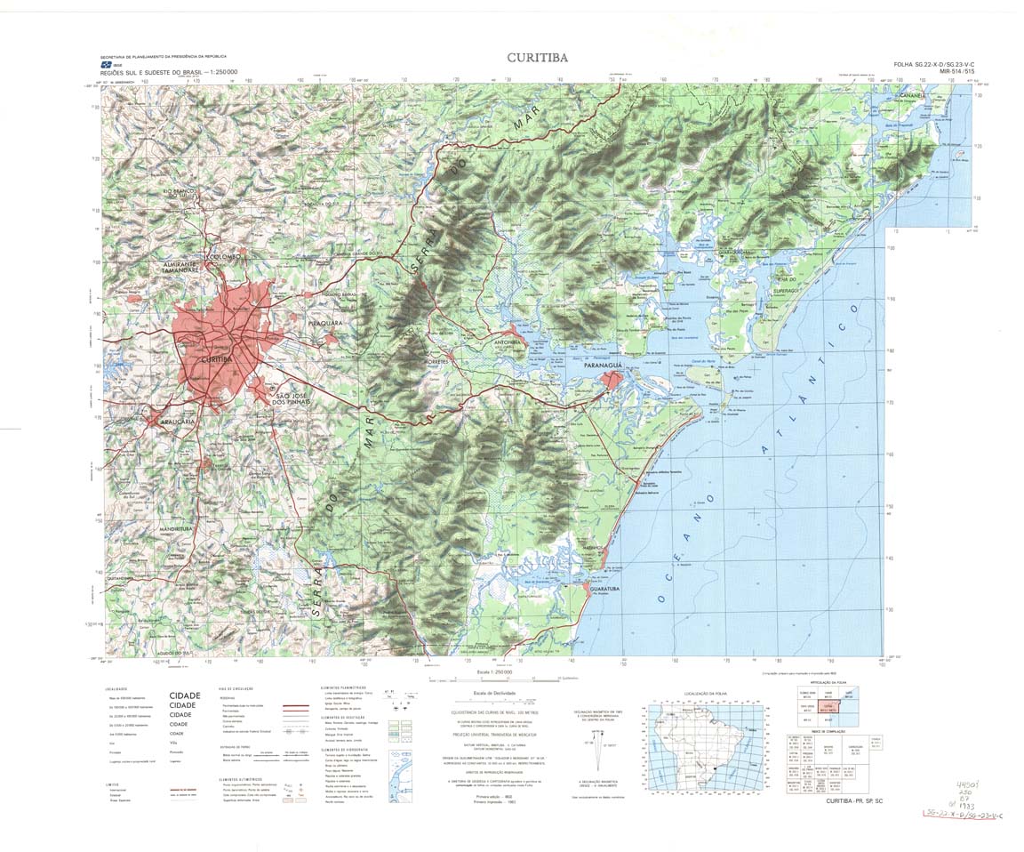
| 514_515 | SG-22-X-D | CURITIBA | IBGE | Top / Radar | jpg | tif | zip | |
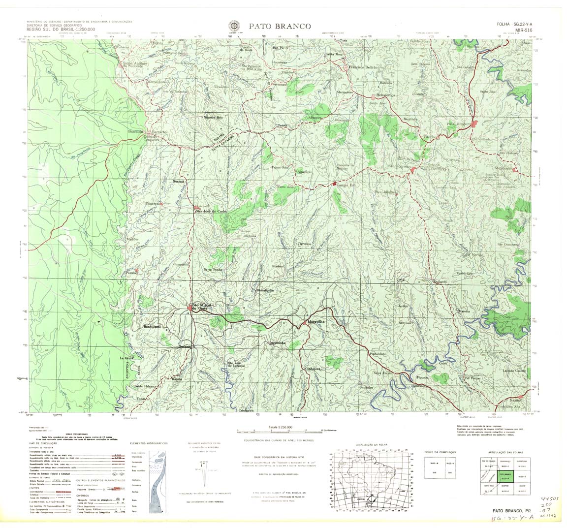
| 516 | SG-22-Y-A | PATO BRANCO | DSG | Top / Radar | jpg | tif | zip | |
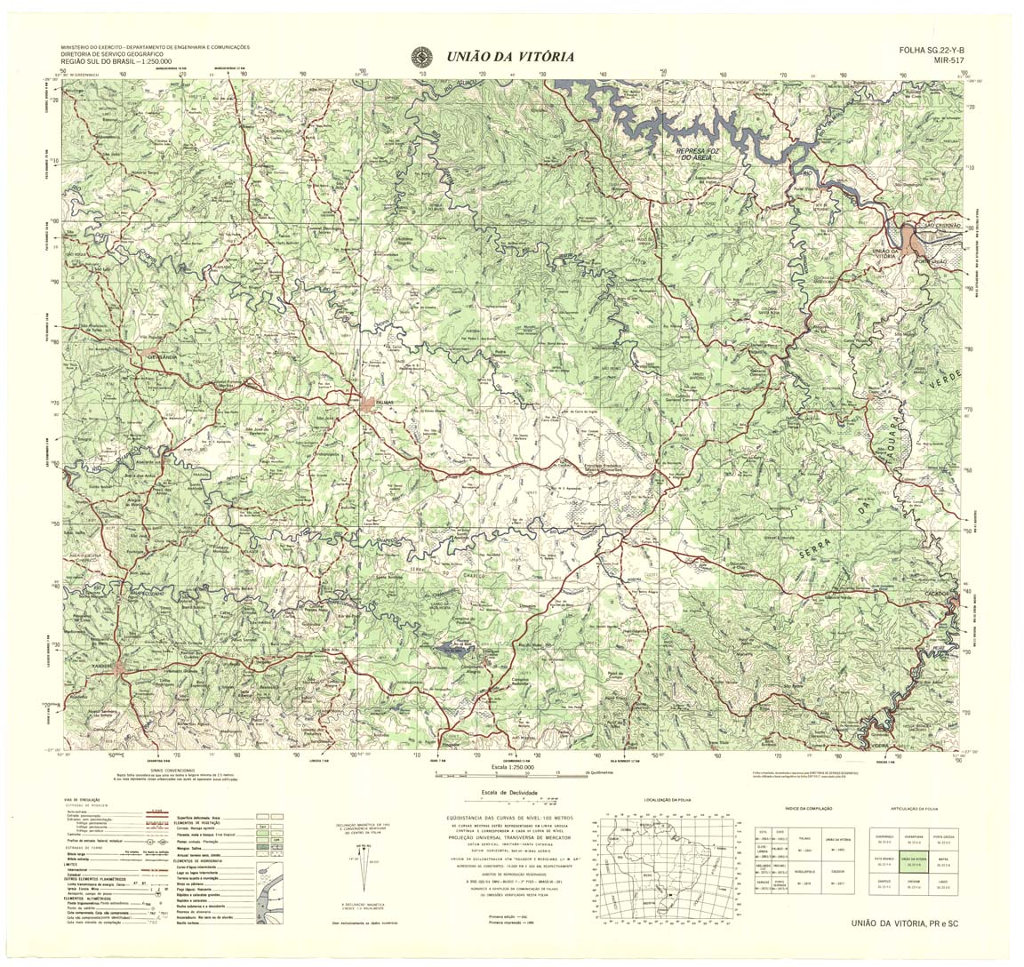
| 517 | SG-22-Y-B | UNIAO DA VITORIA | DSG | Top / Radar | jpg | tif | zip | |
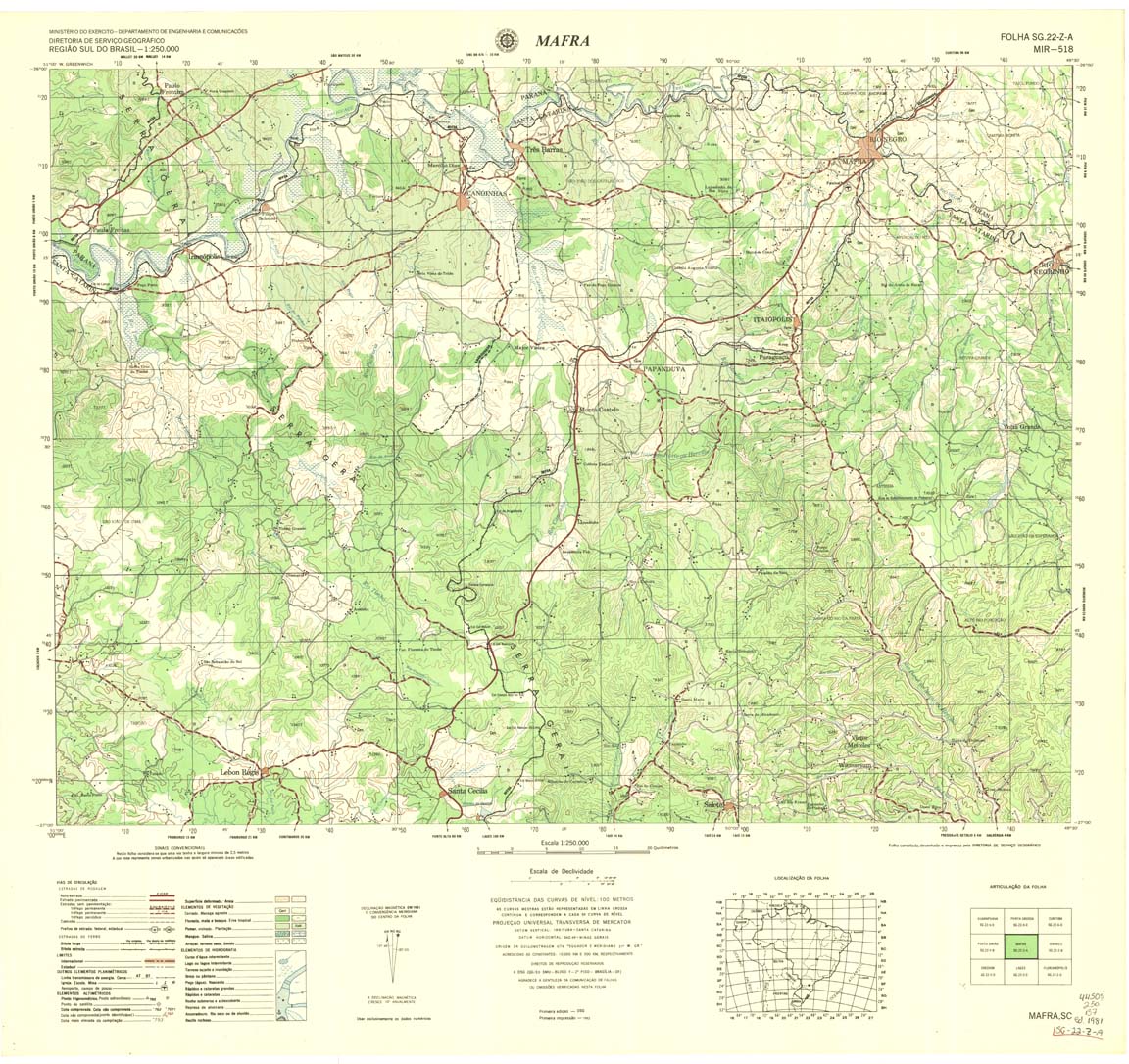
| 518 | SG-22-Z-A | MAFRA | DSG | Top / Radar | jpg | tif | zip | |
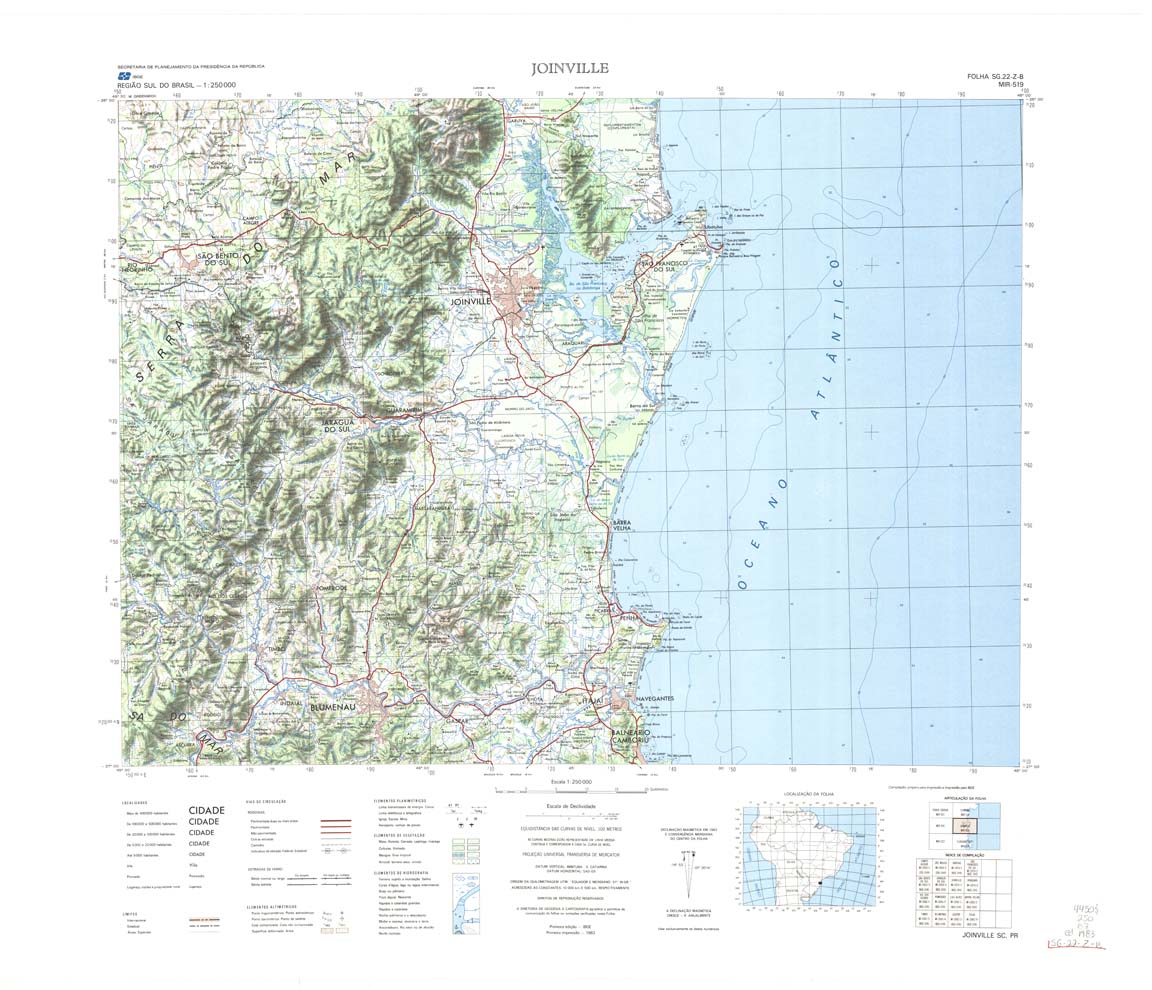
| 519 | SG-22-Z-B | JOINVILLE | IBGE | Top / Radar | jpg | tif | zip | |
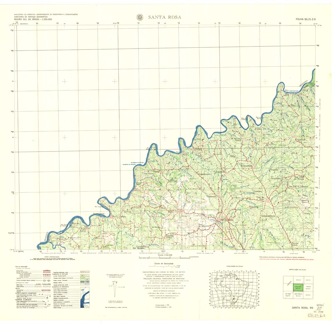
| 520 | SG-21-Z-D | SANTA ROSA | DSG | Top / Radar | jpg | tif | zip | |
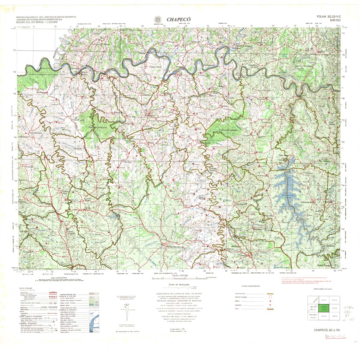
| 521 | SG-22-Y-C | CHAPECO | DSG | Top / Radar | jpg | tif | zip | |
| 522 | SG-22-Y-D | ERECHIM | DSG | Top / Radar | jpg | tif | zip | |
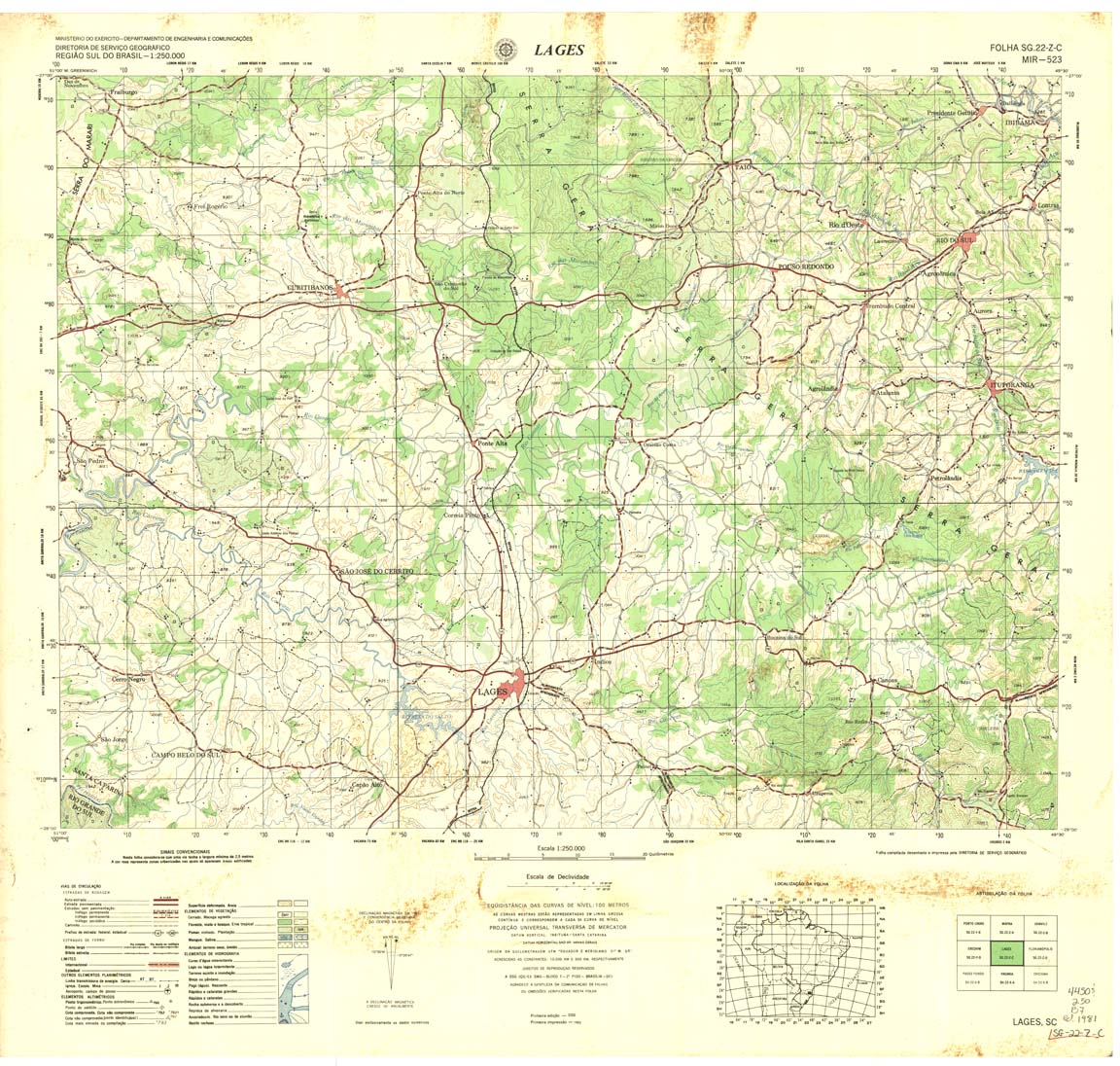
| 523 | SG-22-Z-C | LAGES | DSG | Top / Radar | jpg | tif | zip | |
| 524 | SG-22-Z-D | FLORIANOPOLIS | IBGE | Top / Radar | jpg | tif | zip | |
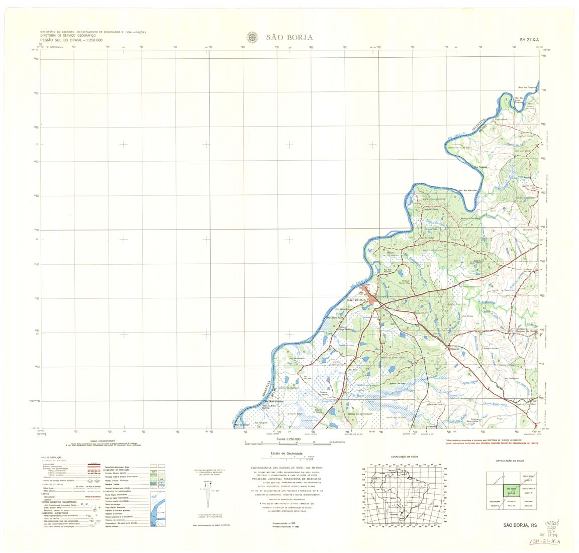
| 525 | SH-21-X-A | SAO BORJA | DSG | Top / Radar | jpg | tif | zip | |
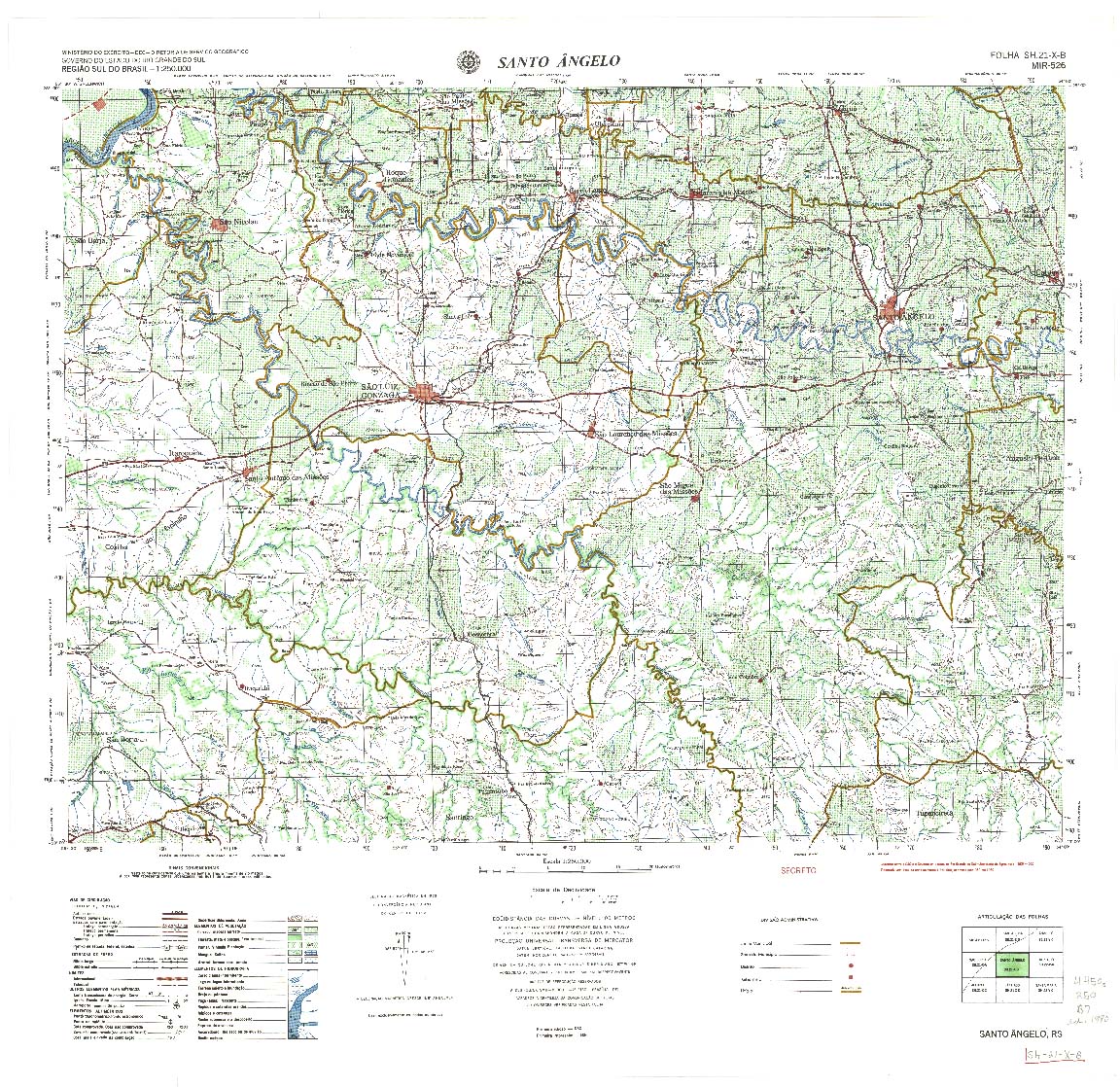
| 526 | SH-21-X-B | SANTO ANGELO | DSG | Top / Radar | jpg | tif | zip | |
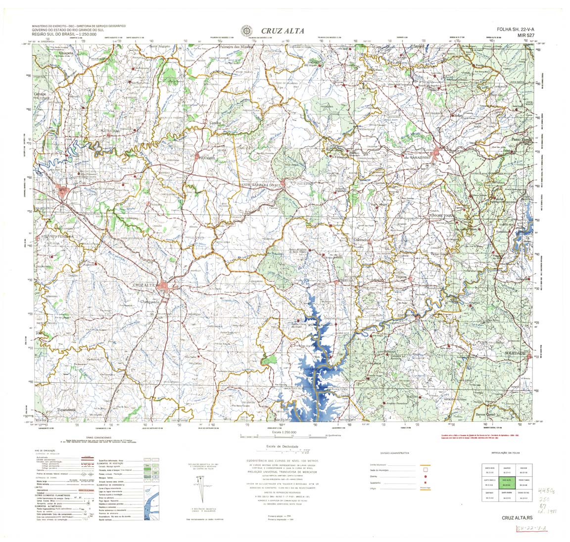
| 527 | SH-22-V-A | CRUZ ALTA | DSG | Top / Radar | jpg | tif | zip | |
| 528 | SH-22-V-B | PASSO FUNDO | DSG | Top / Radar | jpg | tif | zip | |
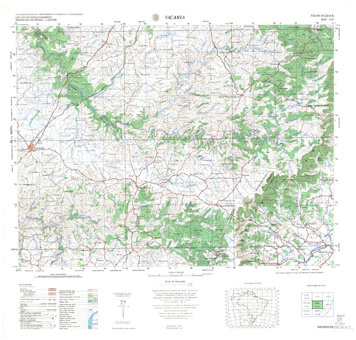
| 529 | SH-22-X-A | VACARIA | DSG | Top / Radar | jpg | tif | zip | |
| 530 | SH-22-X-B | CRICIUMA | DSG | Top / Radar | jpg | tif | zip | |
| 531 | SH-21-V-D | URUGUAIANA | DSG | Top / Radar | jpg | tif | zip | |
| 532 | SH-21-X-C | ALEGRETE | DSG | Top / Radar | jpg | tif | zip | |
| 533 | SH-21-X-D | SANTIAGO | DSG | Top / Radar | jpg | tif | zip | |
| 534 | SH-22-V-C | SANTA MARIA | DSG | Top / Radar | jpg | tif | zip | |
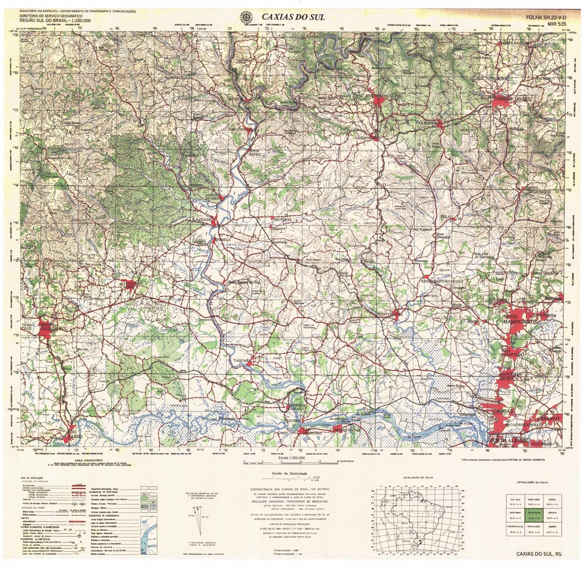
| 535 | SH-22-V-D | CAXIAS DO SUL | DSG | Top / Radar | jpg | tif | zip | |
| 536 | SH-22-X-C | GRAVATAI | DSG | Top / Radar | jpg | tif | zip | |
| 537 | SH-21-Y-B | BARRA DO QUARAI | DSG | Top / Radar | jpg | tif | zip | |
| 538 | SH-21-Z-A | SANTANA DO LIVRAMENTO | DSG | Top / Radar | jpg | tif | zip | |
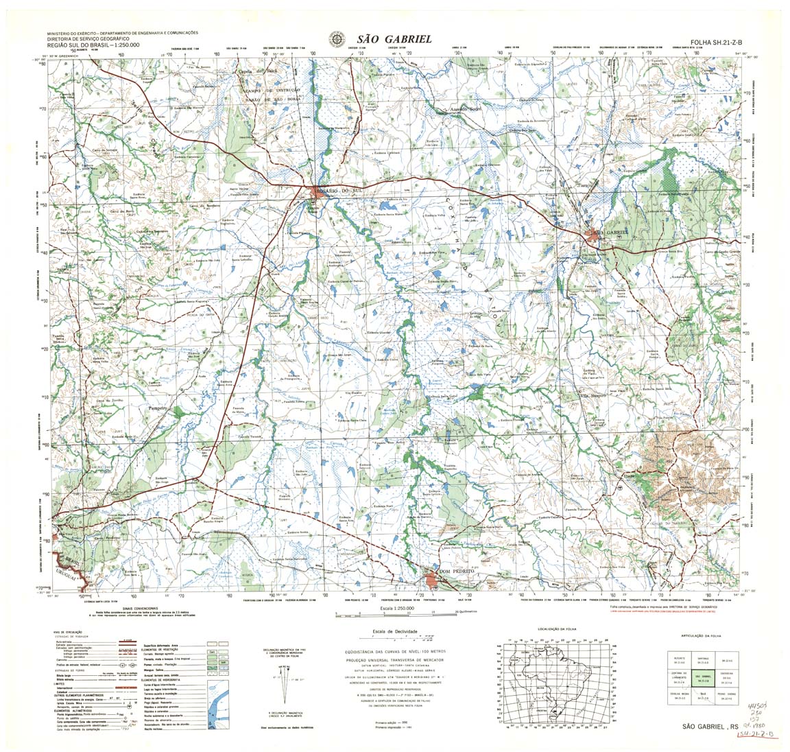
| 539 | SH-21-Z-B | SAO GABRIEL | DSG | Top / Radar | jpg | tif | zip | |
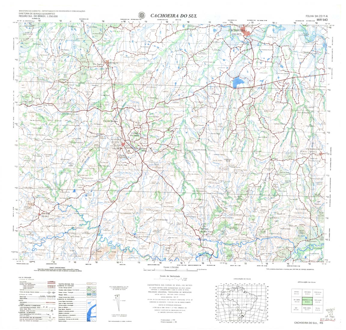
| 540 | SH-22-Y-A | CACHOEIRA DO SUL | DSG | Top / Radar | jpg | tif | zip | |
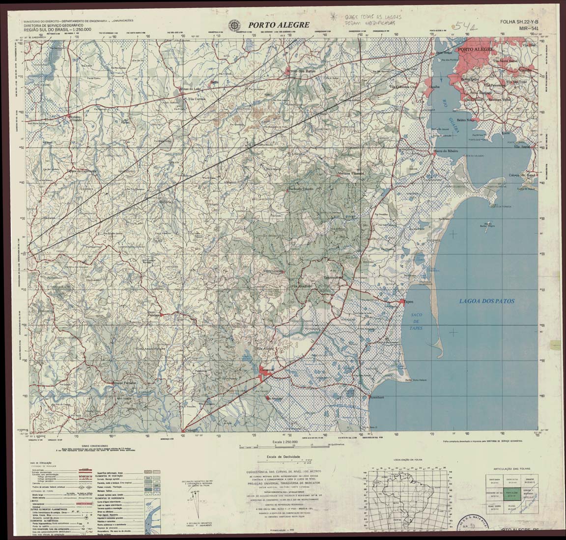
| 541 | SH-22-Y-B | PORTO ALEGRE | jpg | tif | zip | |||
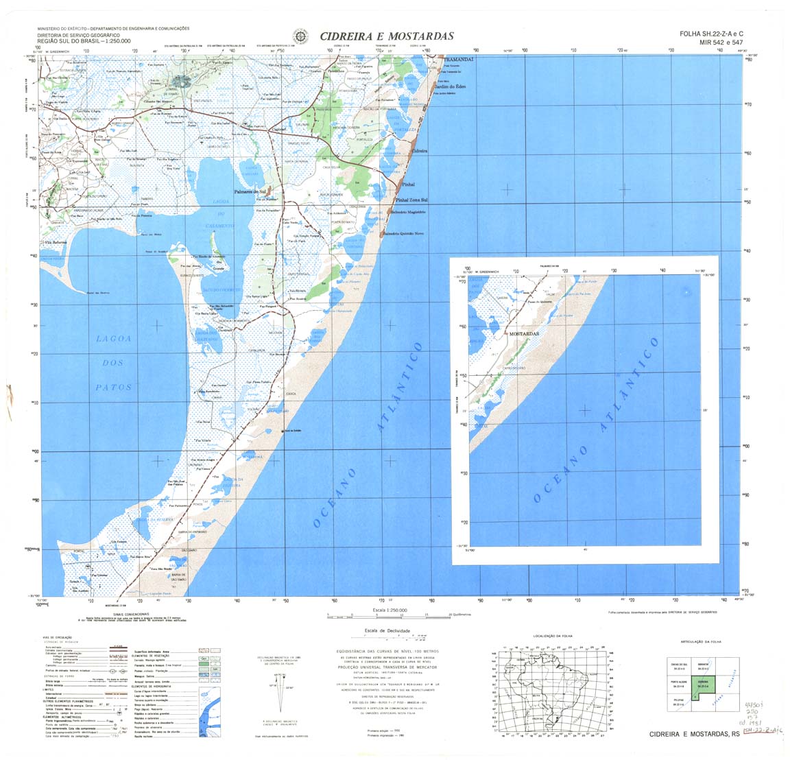
| 542_547 | SH-22-Z-A | CIDREIRA E MOSTARDAS | DSG | Top / Radar | jpg | tif | zip | |
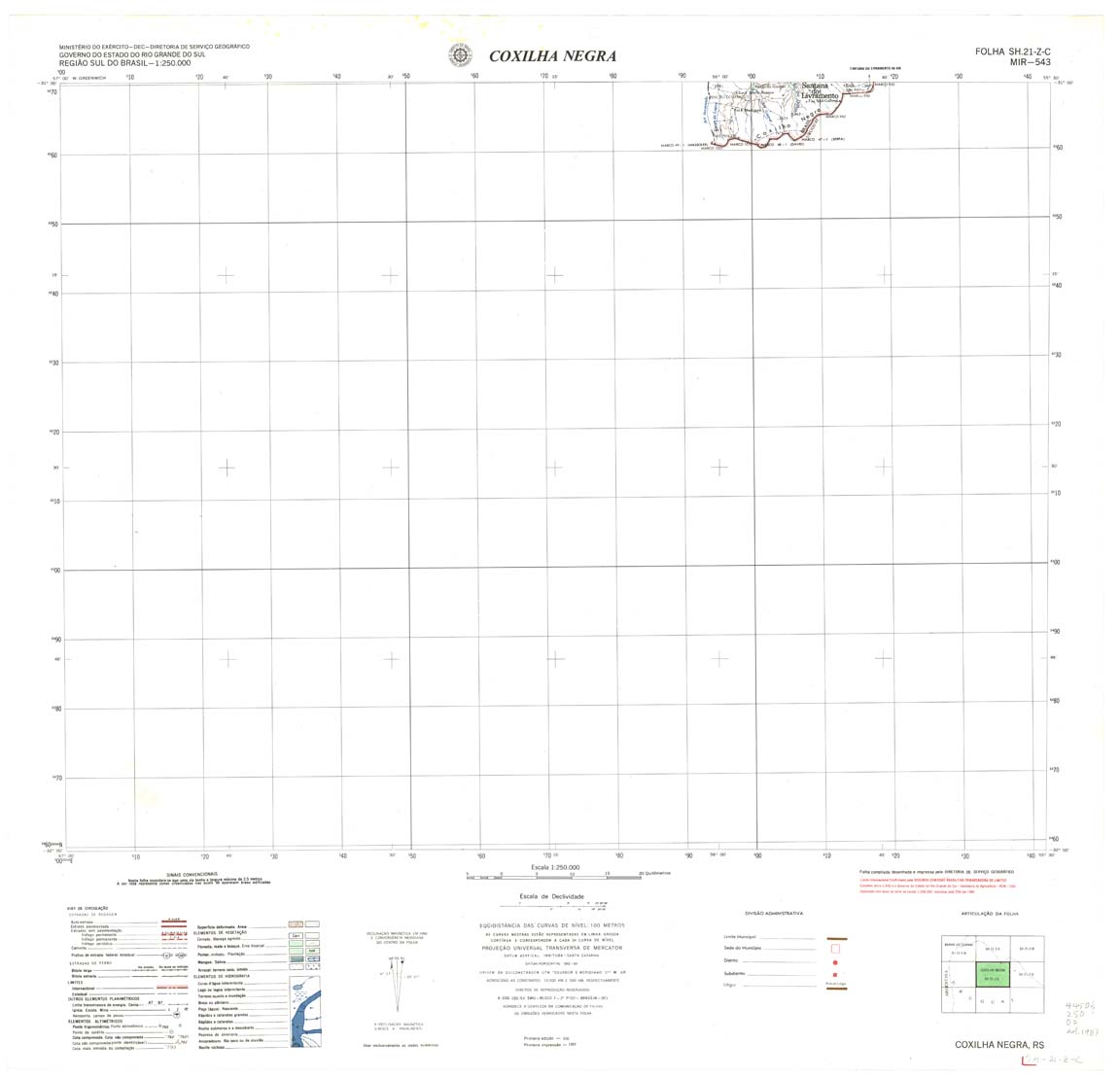
| 543 | SH-21-Z-C | COXILHA NEGRA | DSG | Top / Radar | jpg | tif | zip | |
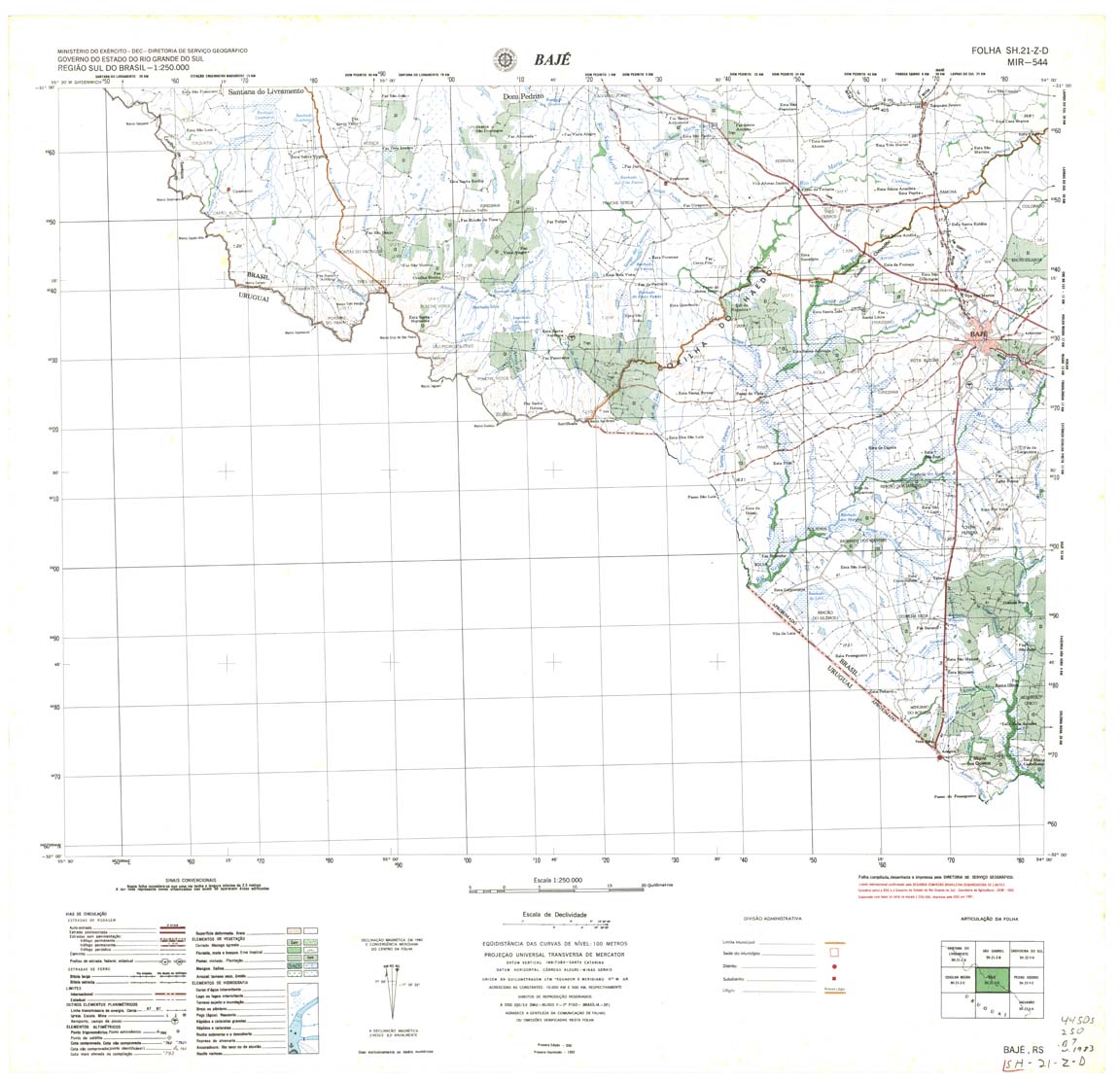
| 544 | SH-21-Z-D | BAJE | DSG | Top / Radar | jpg | tif | zip | |
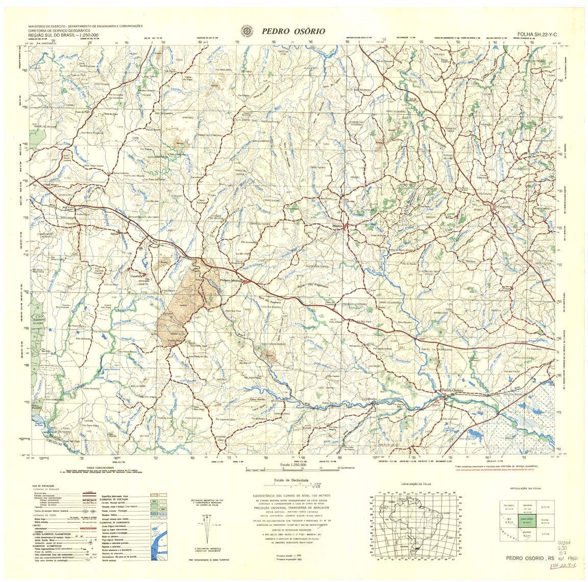
| 545 | SH-22-Y-C | PEDRO OSORIO | DSG | Top / Radar | jpg | tif | zip | |
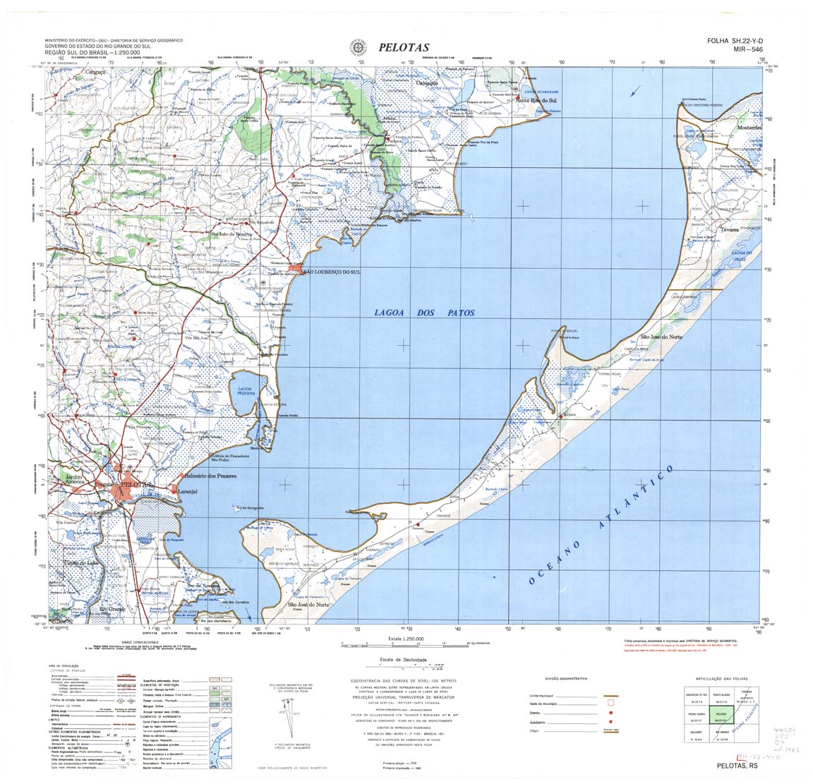
| 546 | SH-22-Y-D | PELOTAS | DSG | Top / Radar | jpg | tif | zip | |
| 548 | SI-22-V-A | JAGUARAO | DSG | Top / Radar | jpg | tif | zip | |
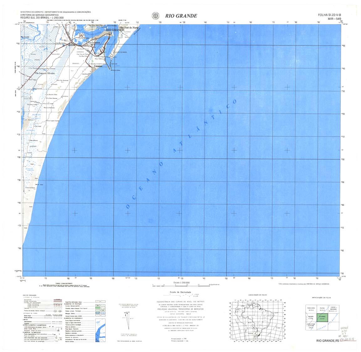
| 549 | SI-22-V-B | RIO GRANDE | DSG | Top / Radar | jpg | tif | zip | |
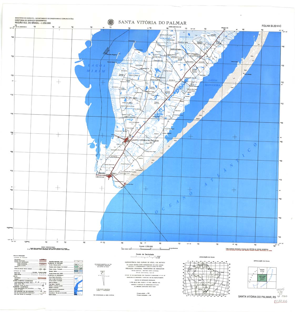
| 550 | SI-22-V-C | SANTA VITORIA DO PALMAR | DSG | Top / Radar | jpg | tif | zip | |
| na-19-08_1-air | jpg | tif | zip | |||||
| na-20-02_1-air | jpg | tif | zip | |||||
| nb-20-14_1-air(003) | jpg | tif | zip | |||||
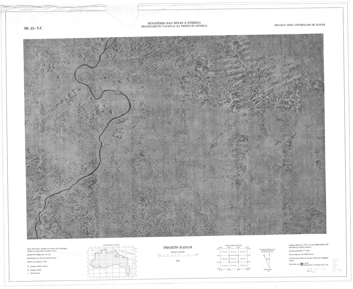
| SB_23_Z_B | SB_23_Z_B | jpg | tif | zip | ||||
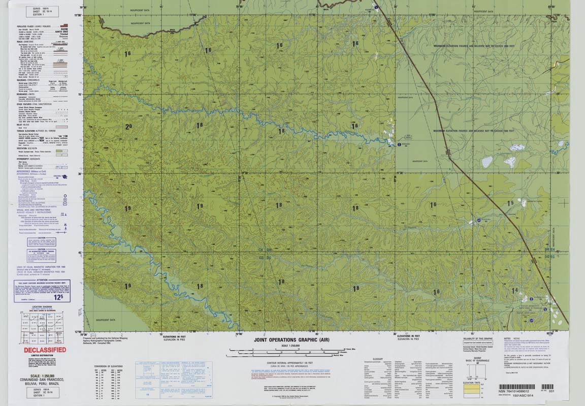
| sc-19-14_1-air | jpg | tif | zip |
.jpg)
.jpg)
.jpg)
.jpg)
.jpg)
.jpg)
.jpg)
.jpg)
.jpg)
.jpg)
.jpg)
.jpg)
.jpg)
.jpg)
.jpg)
.jpg)
.jpg)
.jpg)
.jpg)
.jpg)
.jpg)
.jpg)
.jpg)