
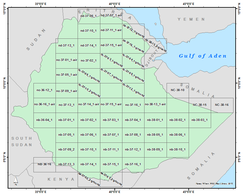
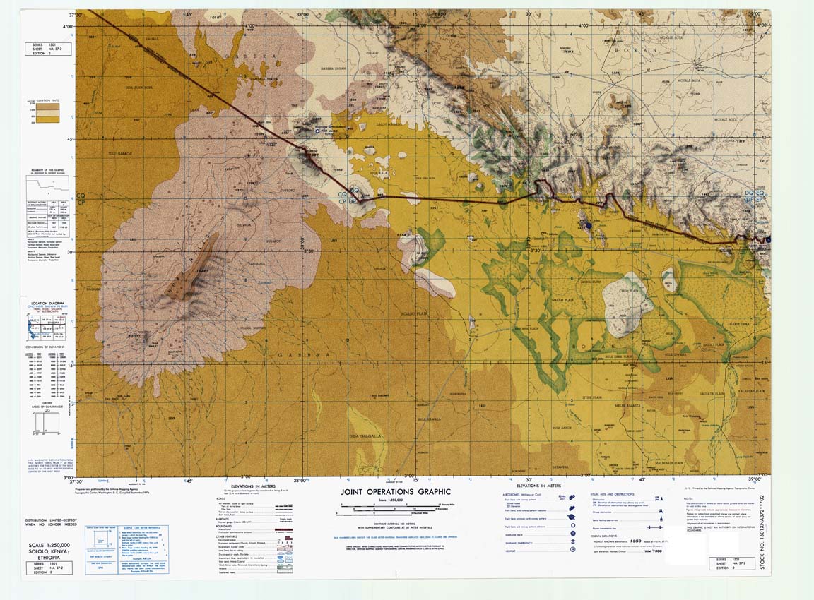
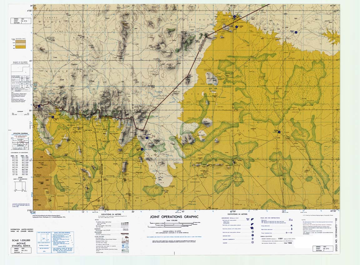
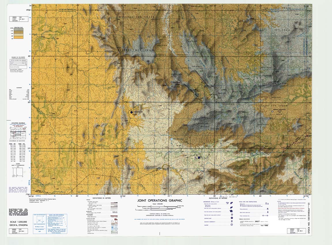
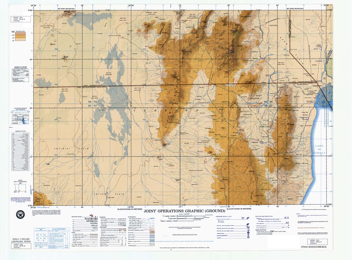
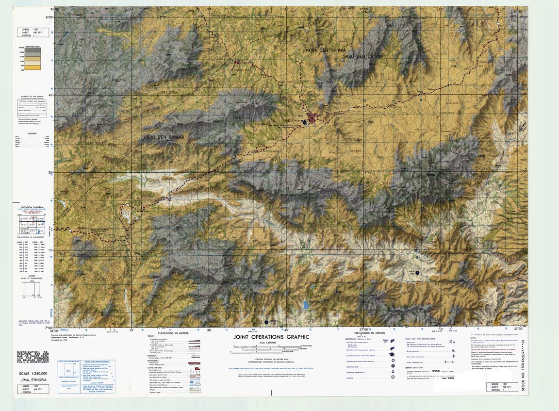
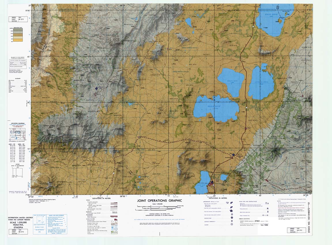
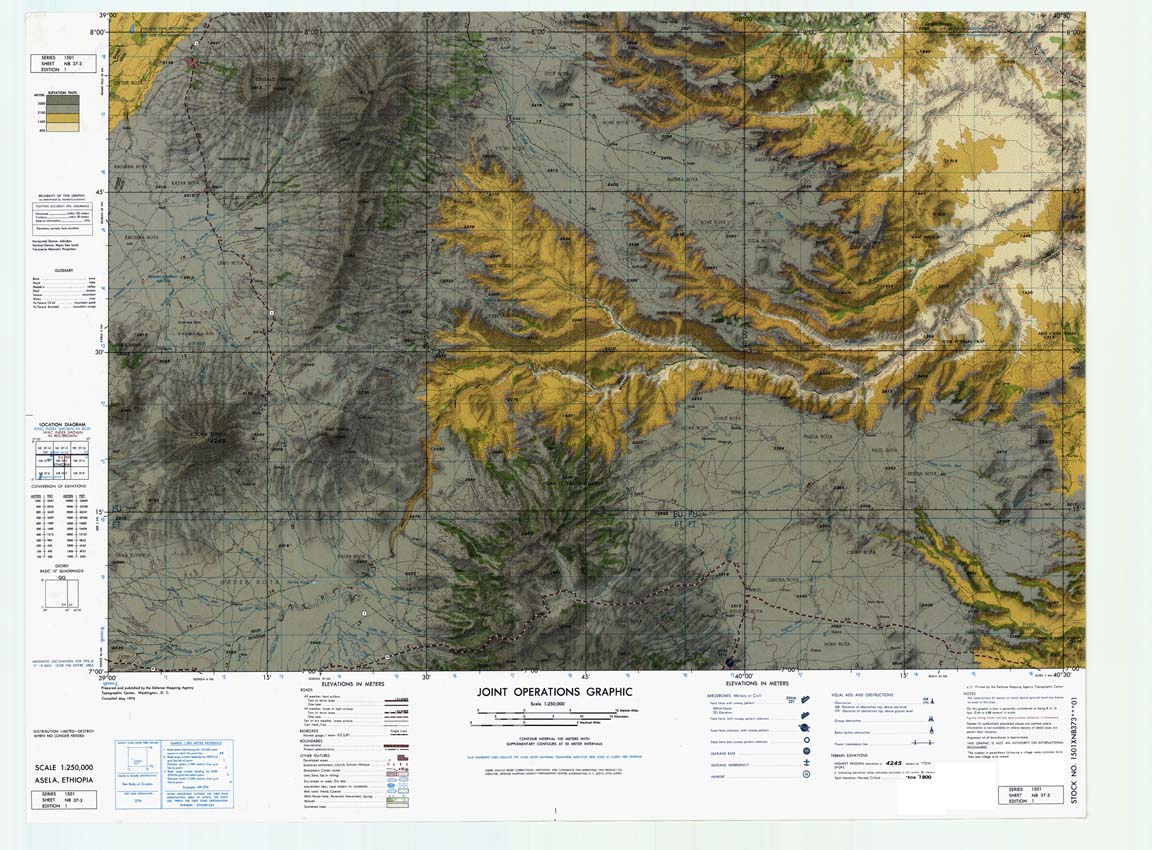
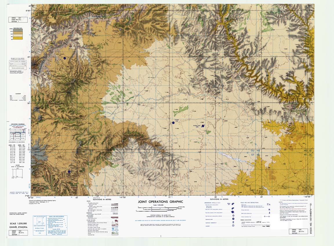
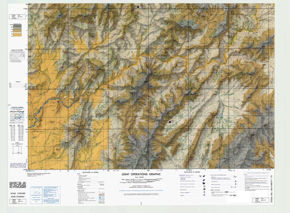
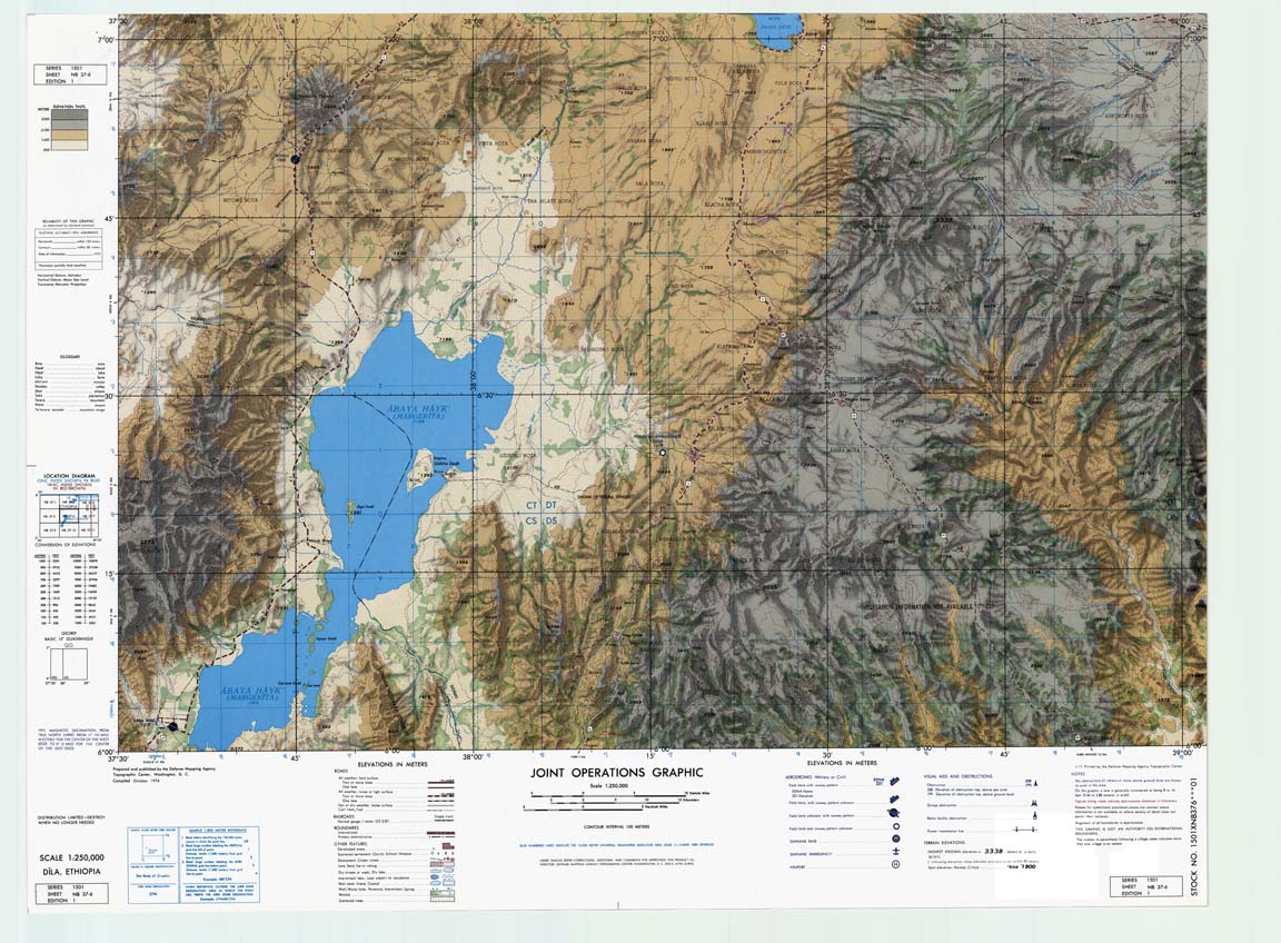
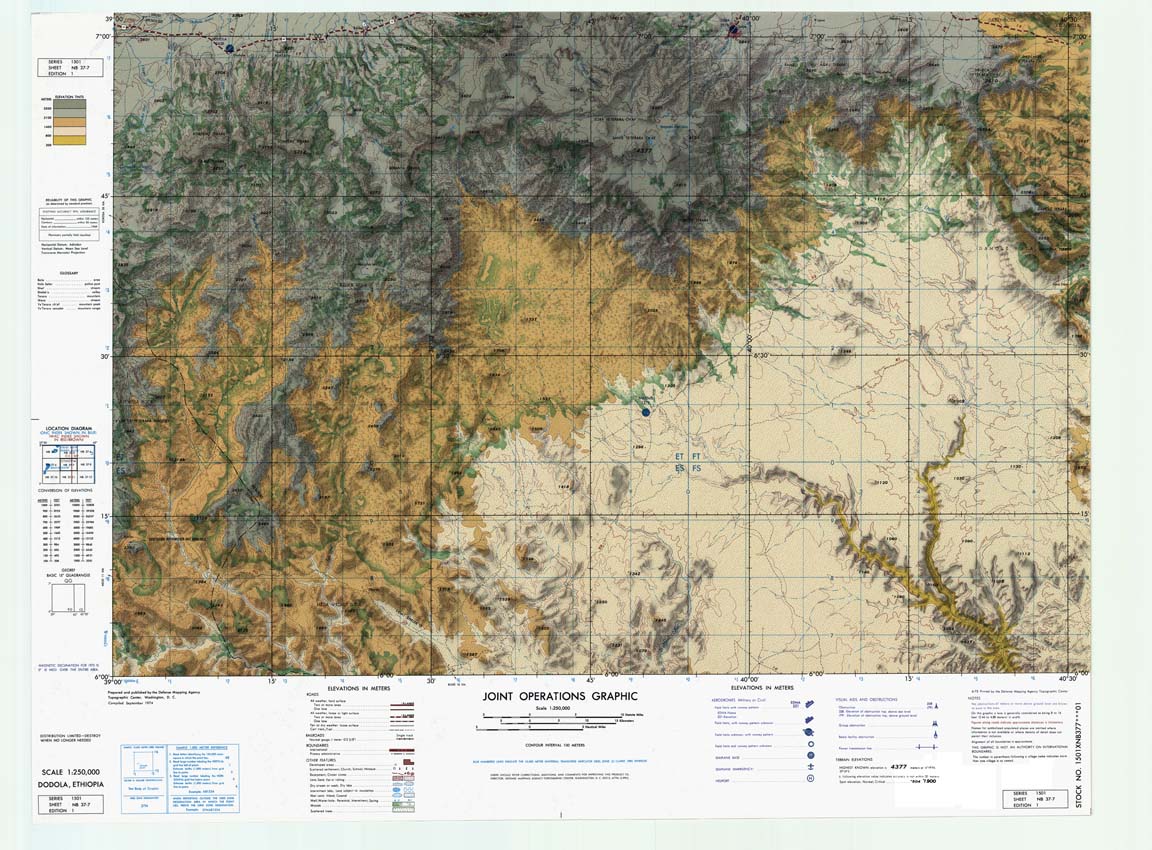
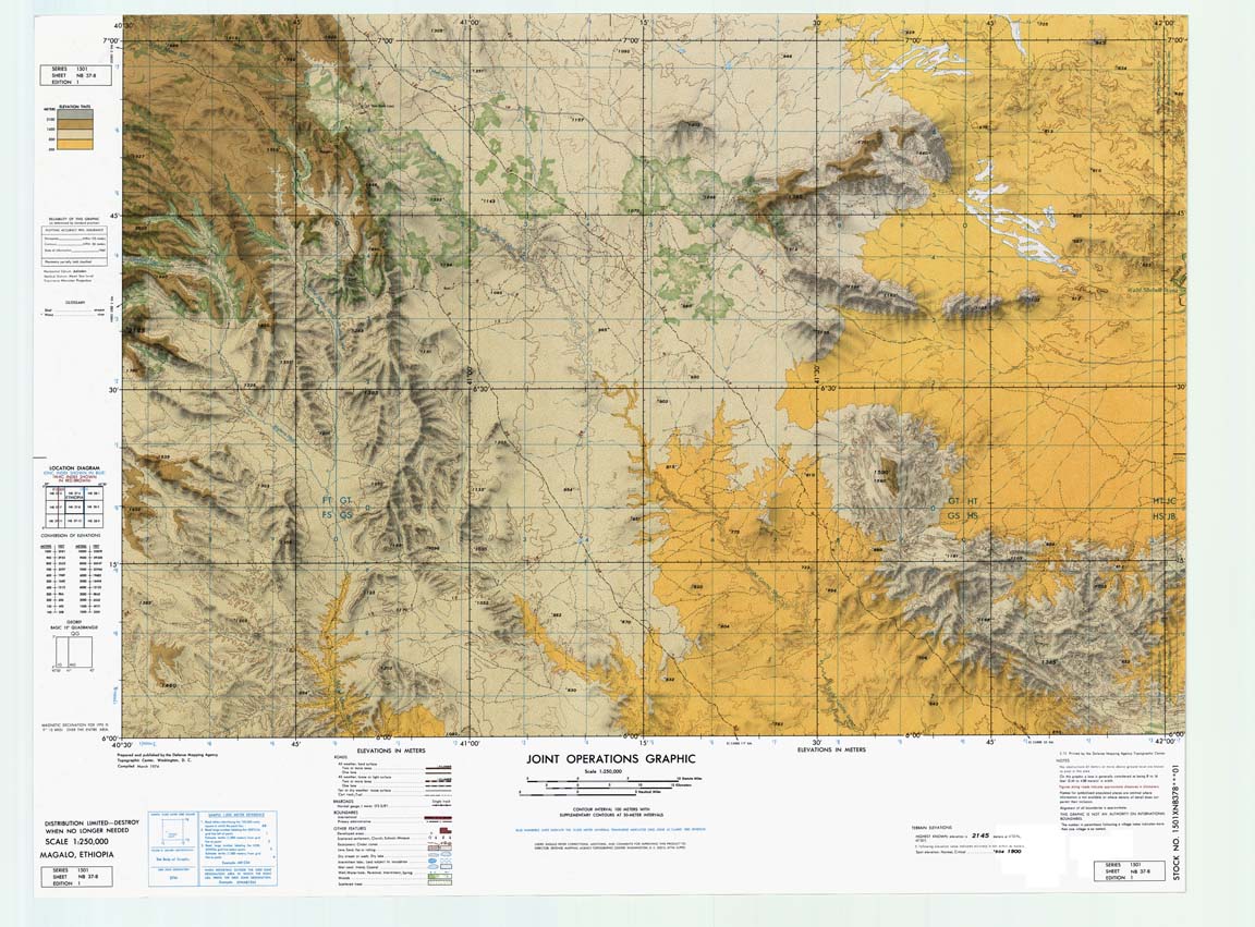
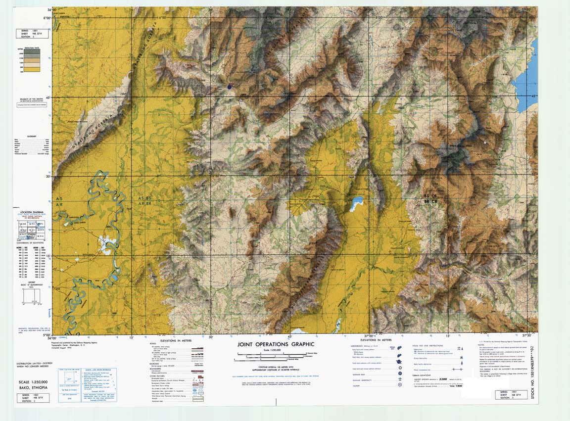
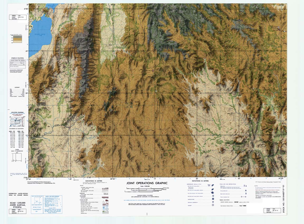
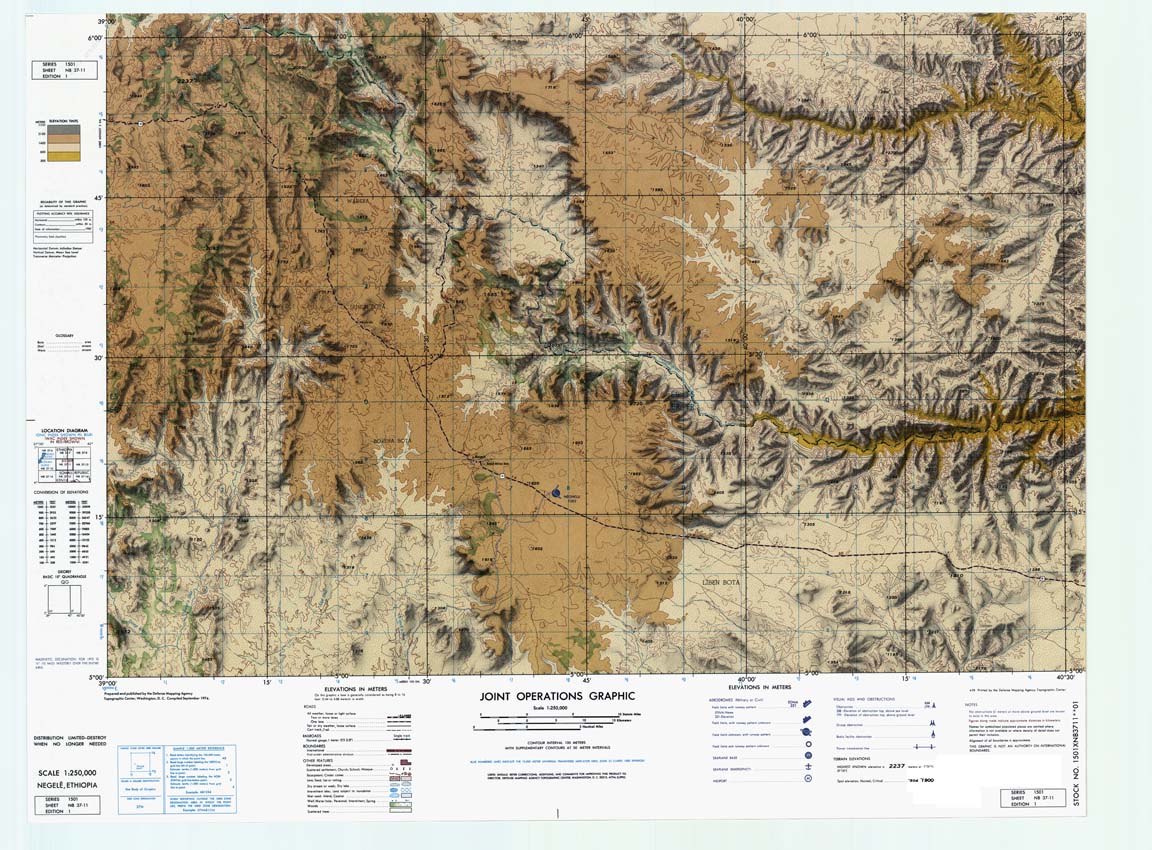
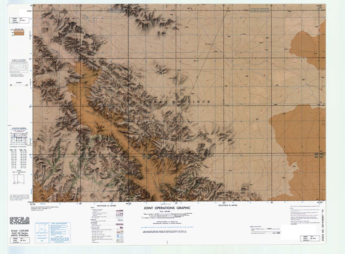
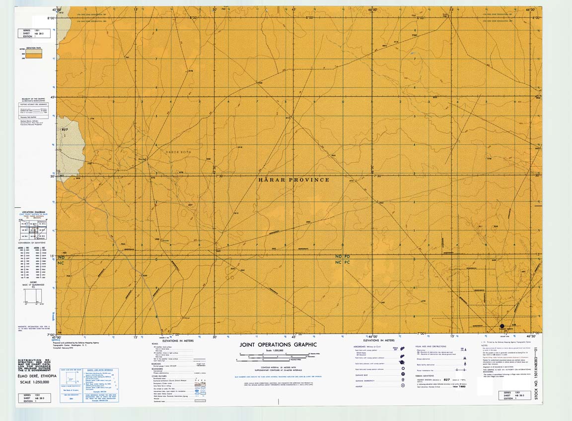
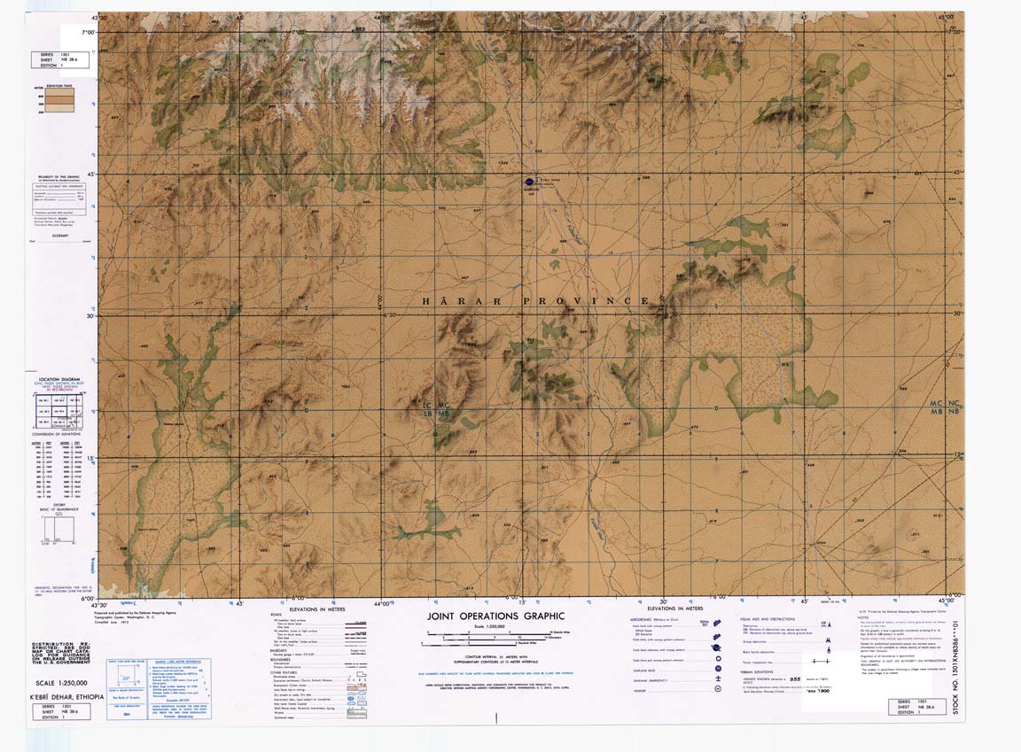
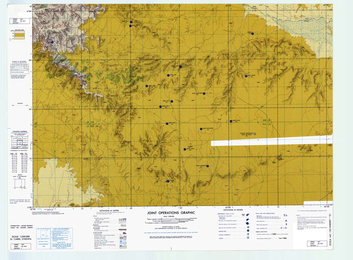
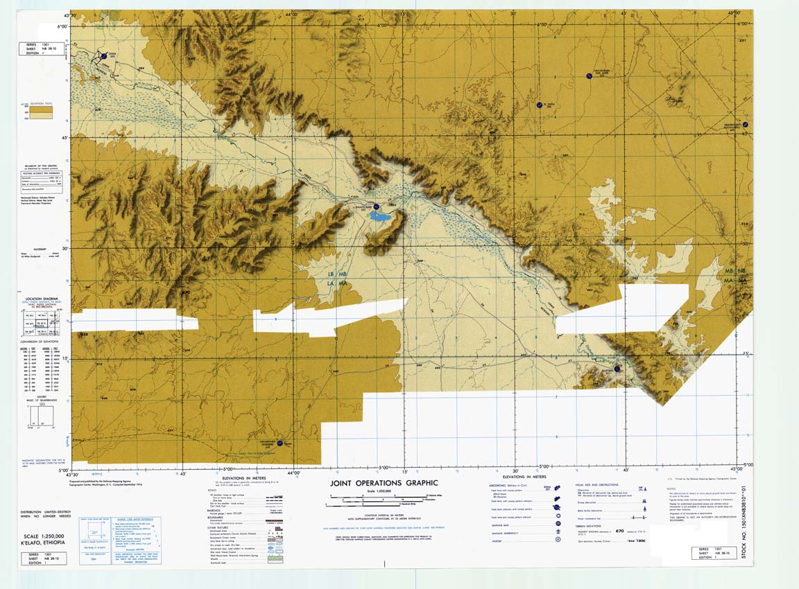
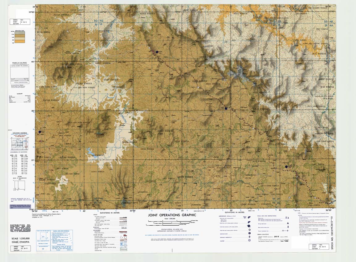
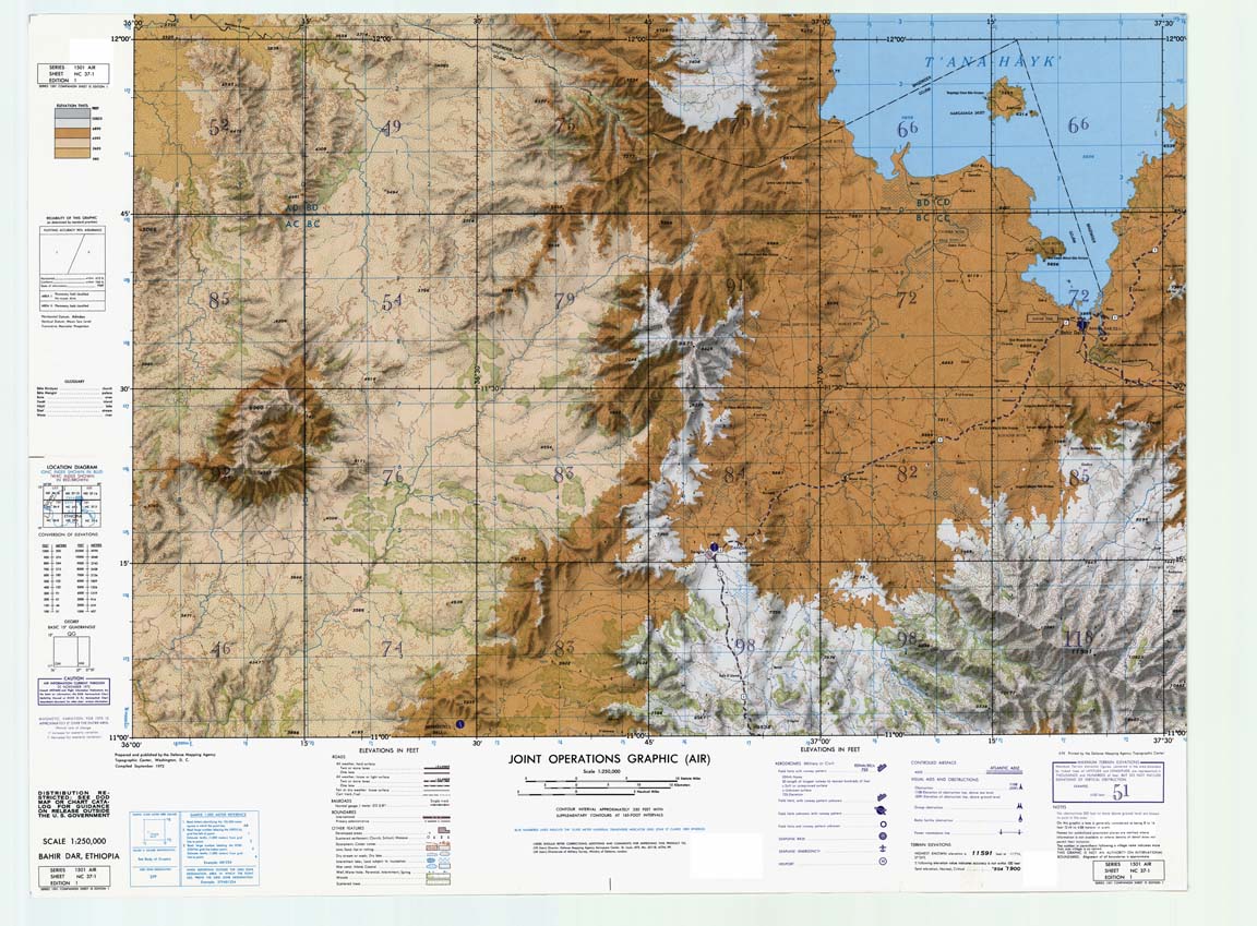
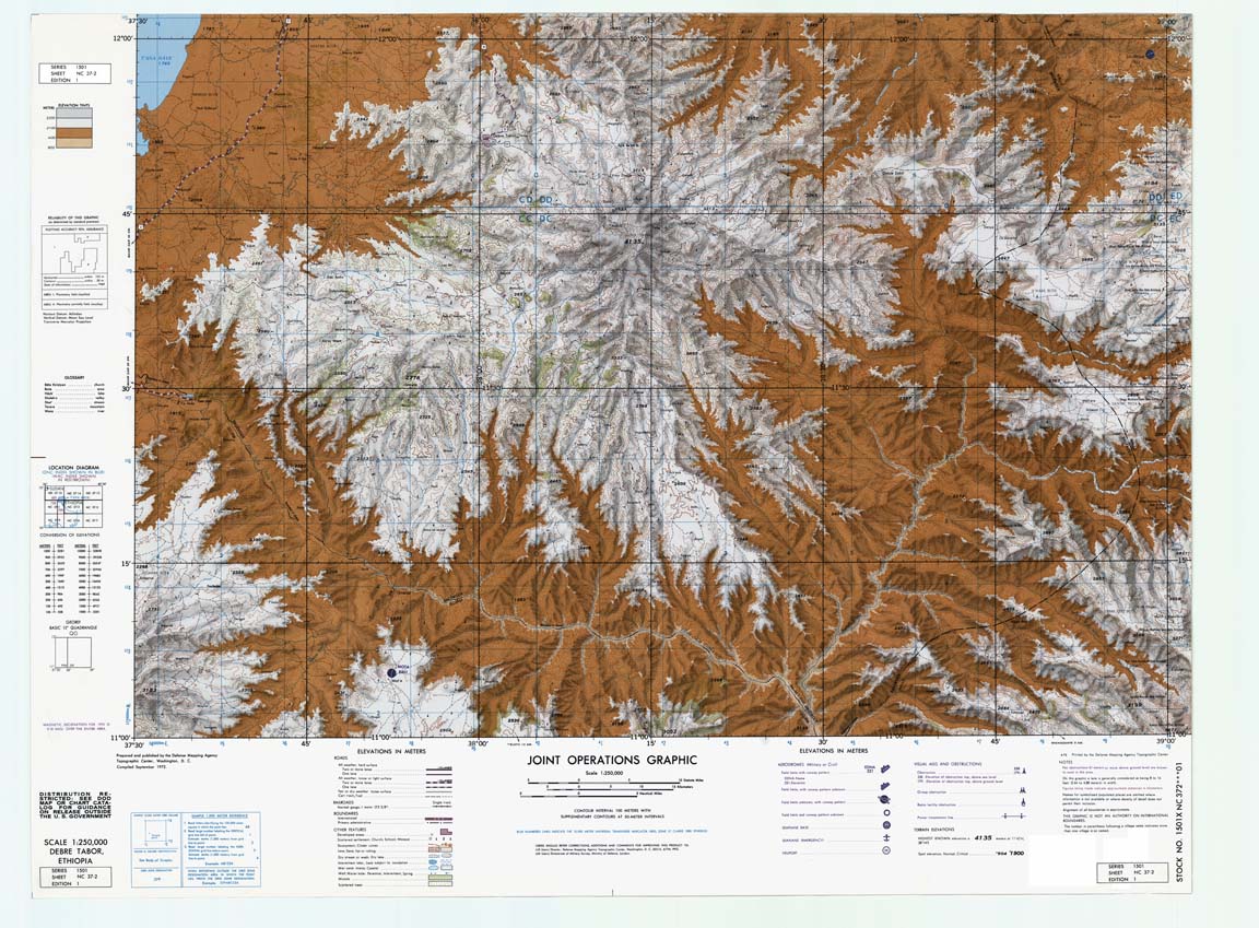
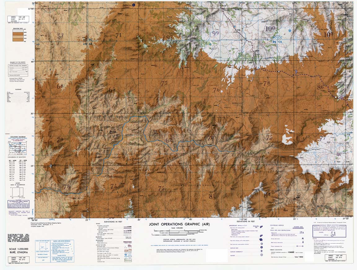
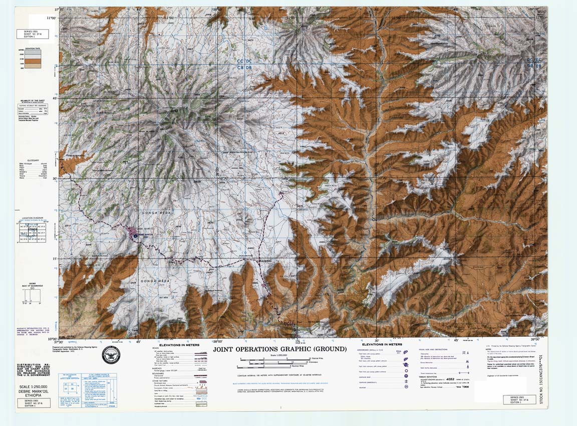
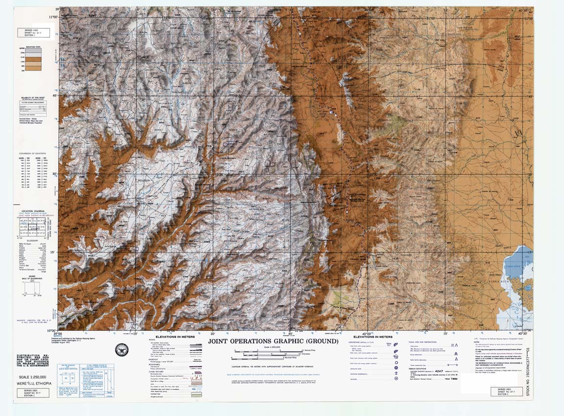
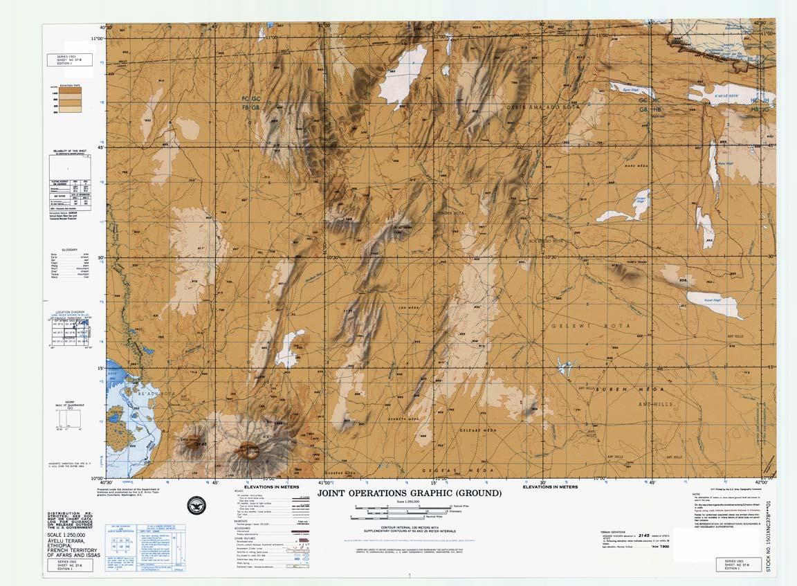
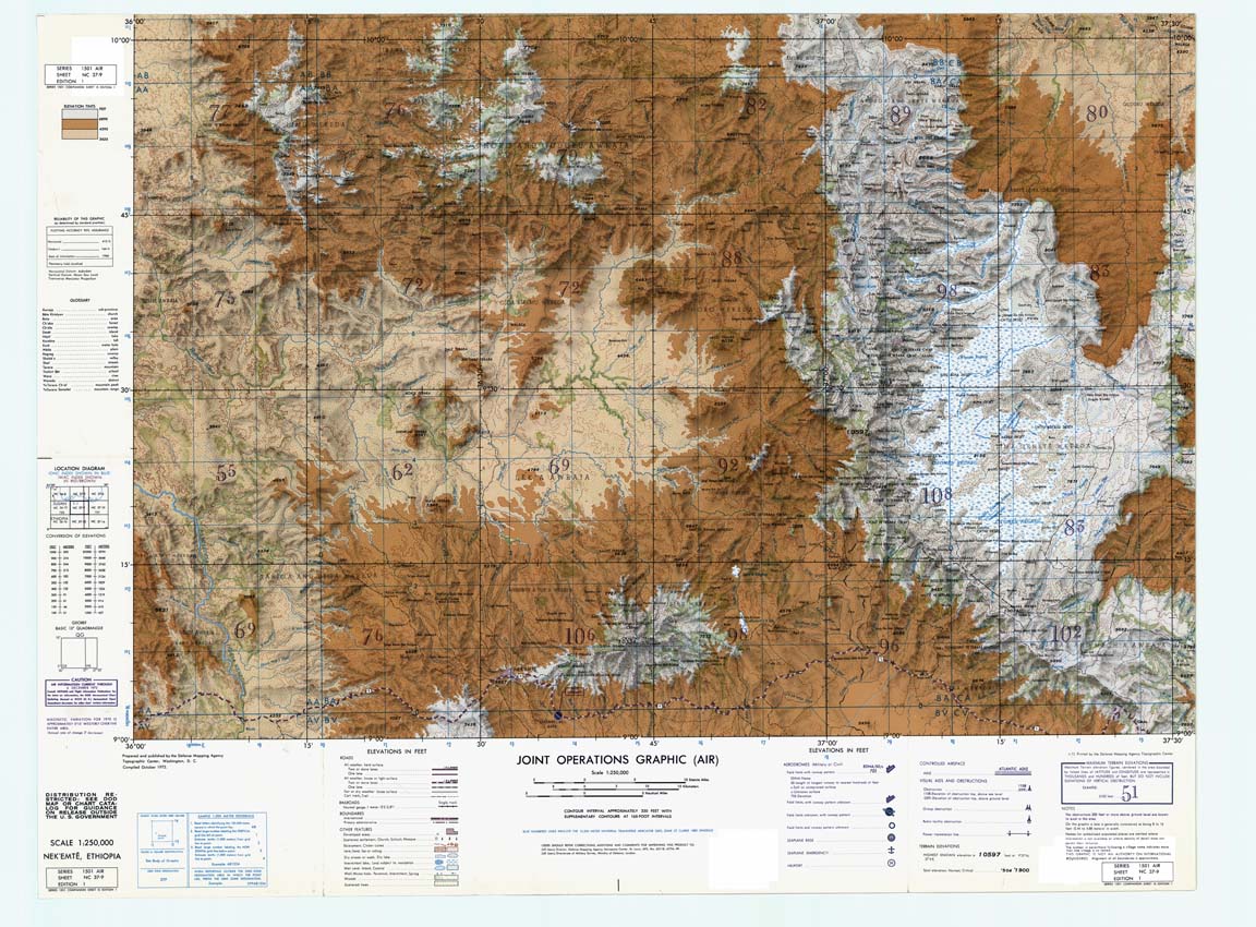
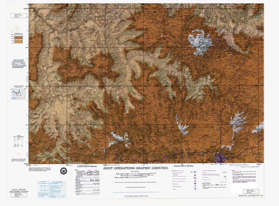
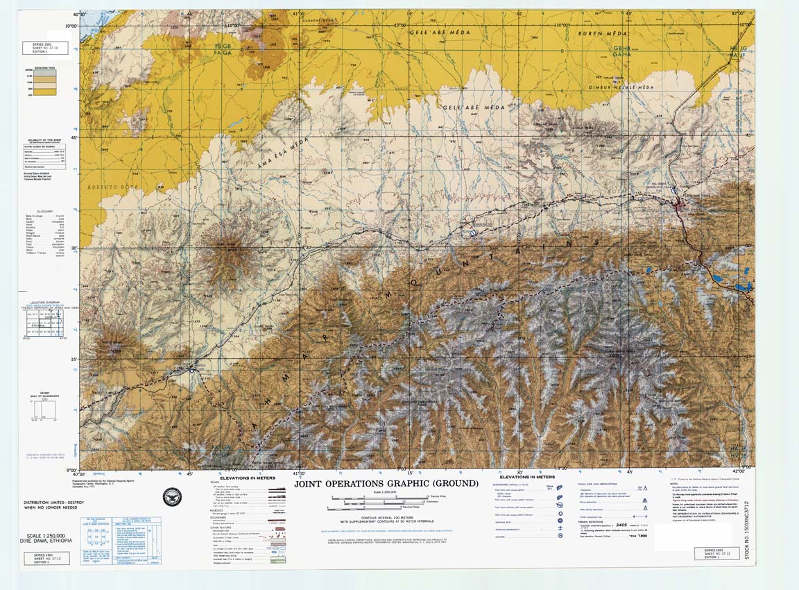
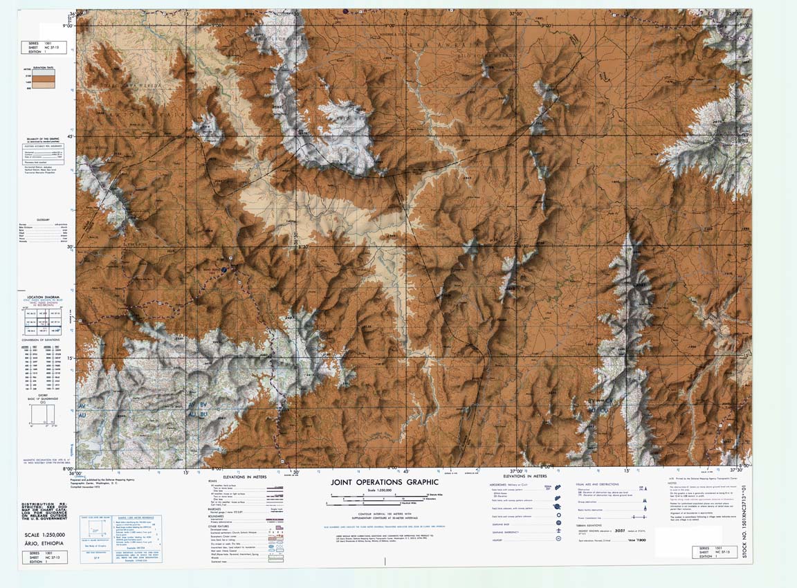
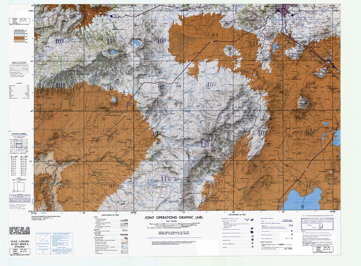
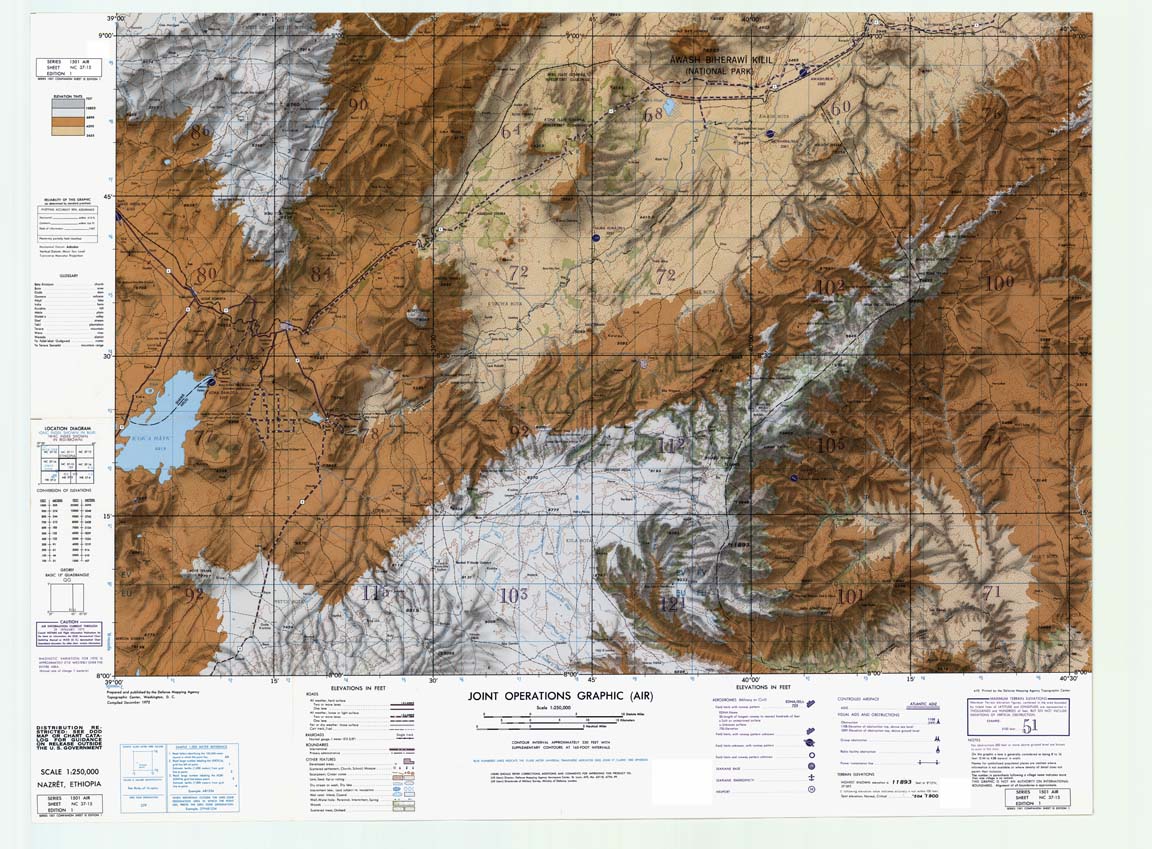
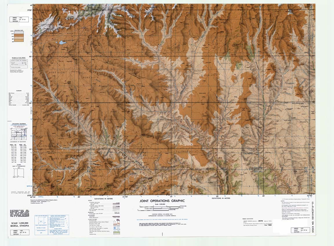
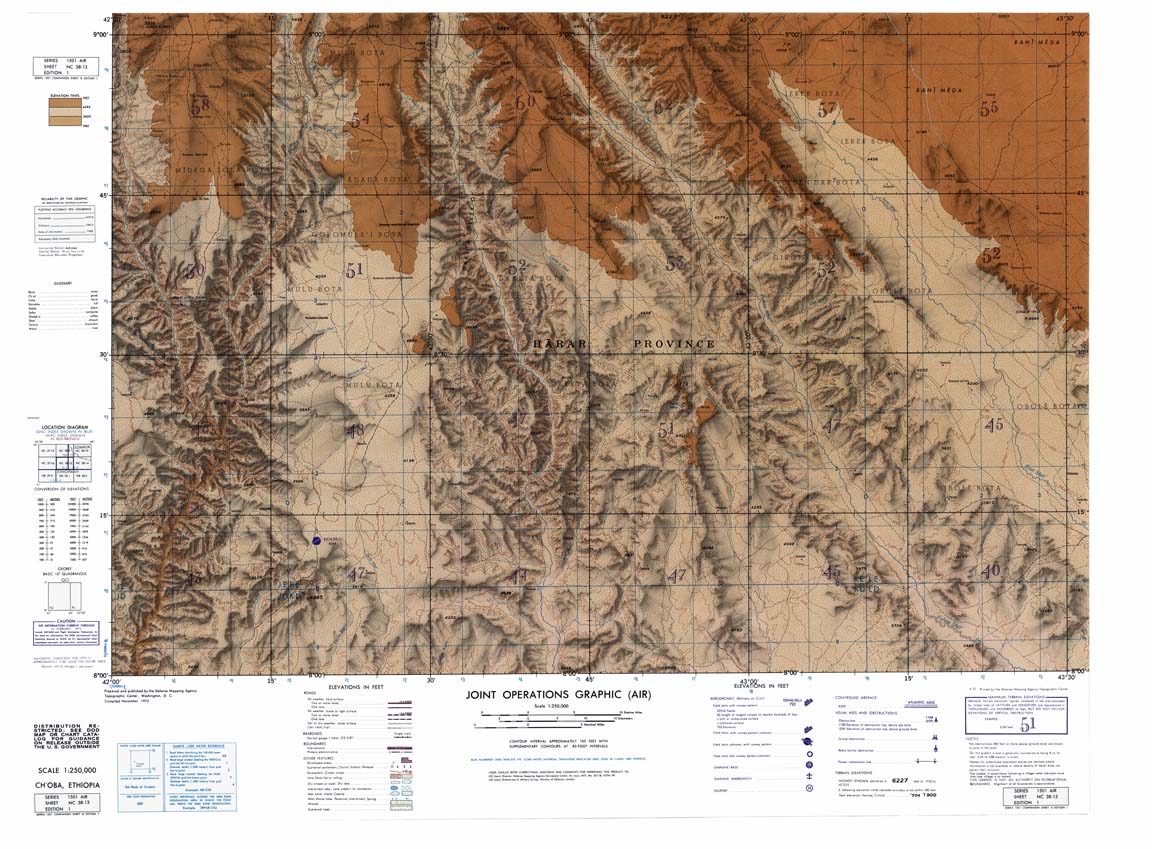
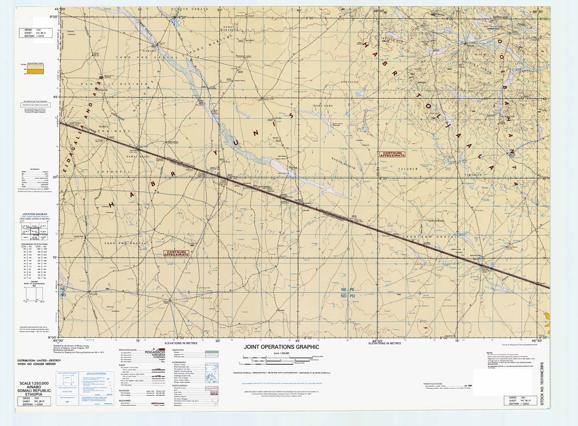
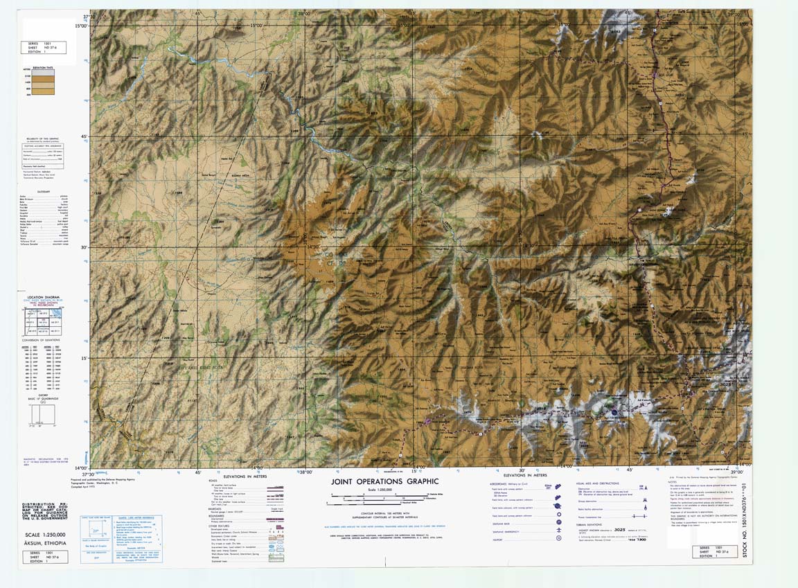
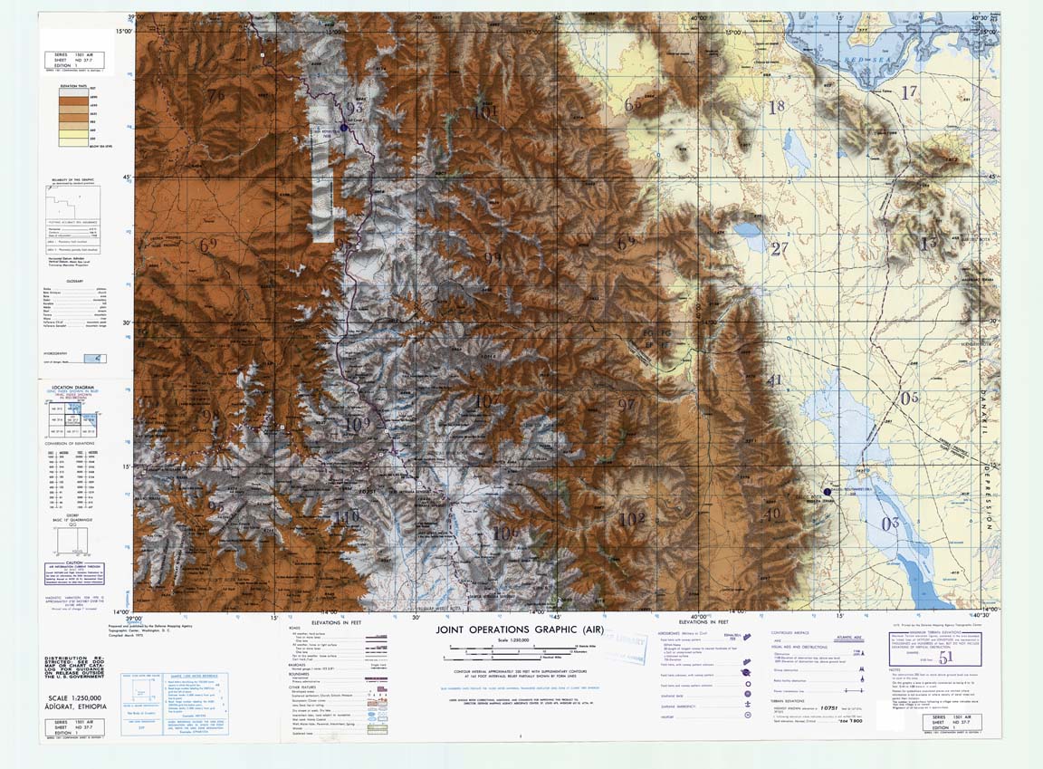
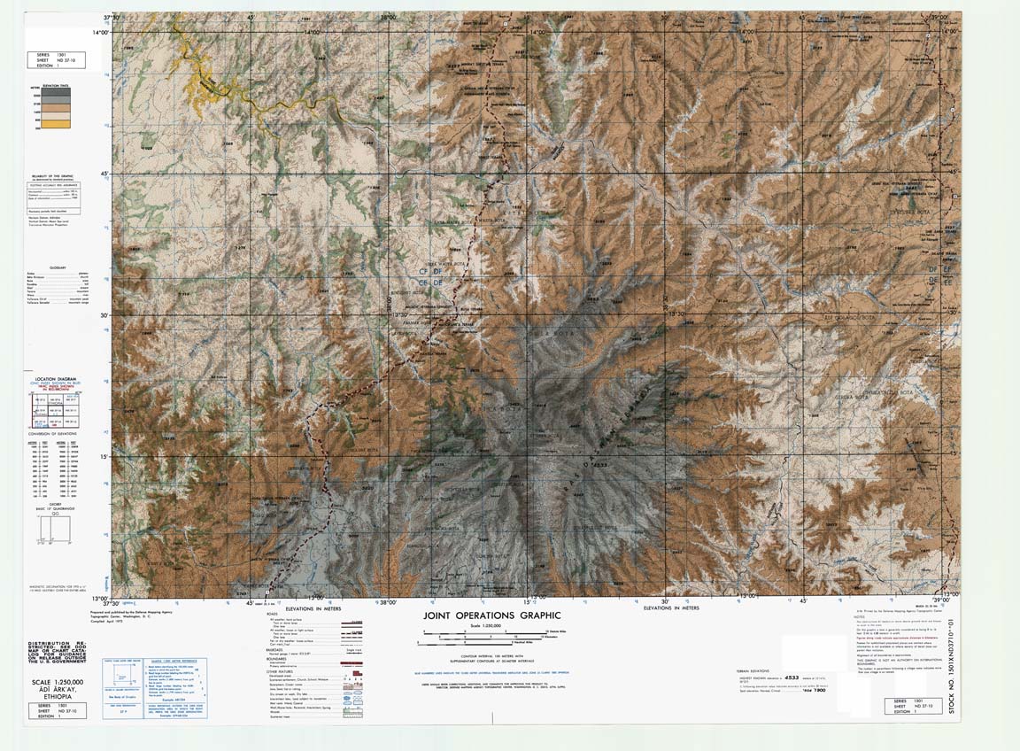
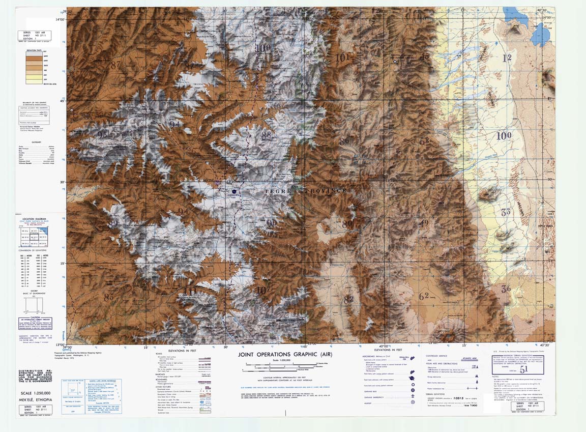
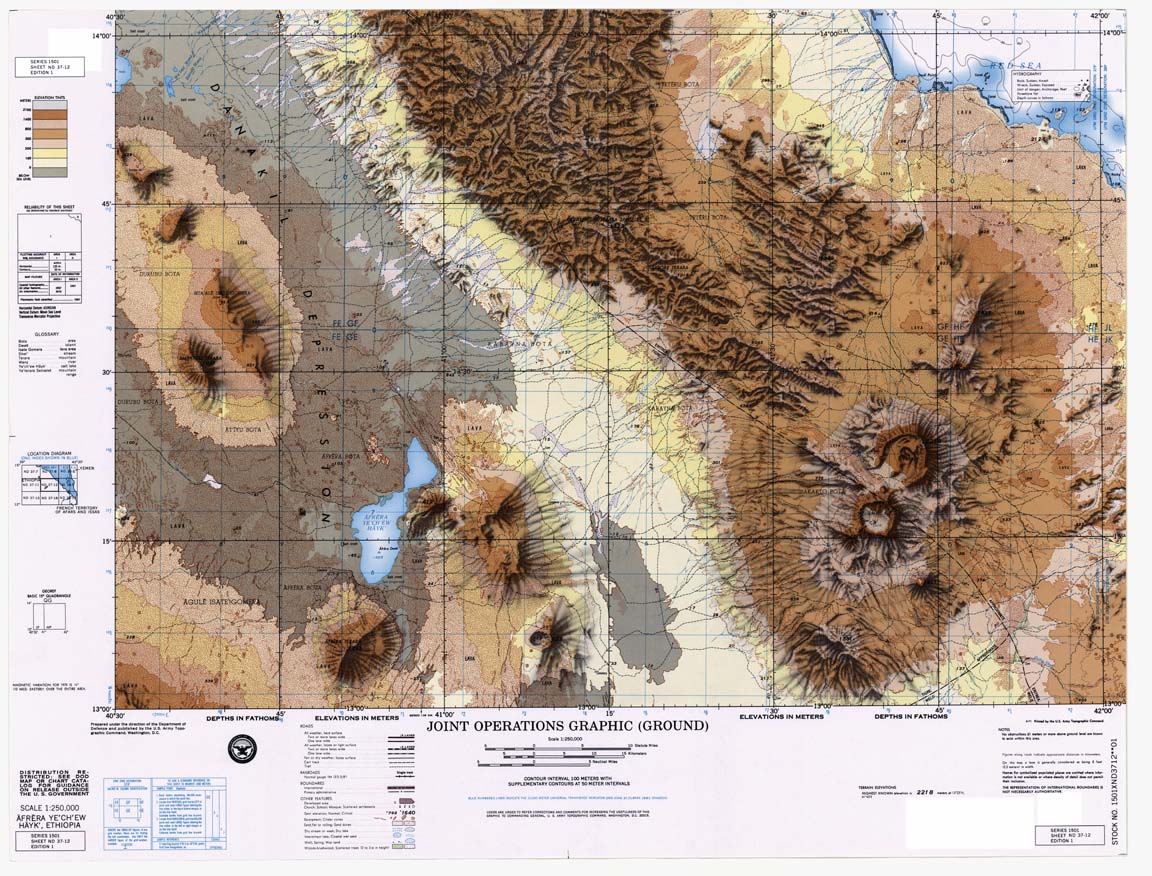
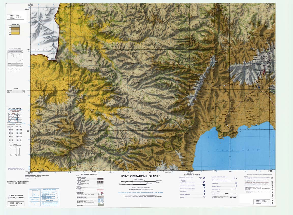
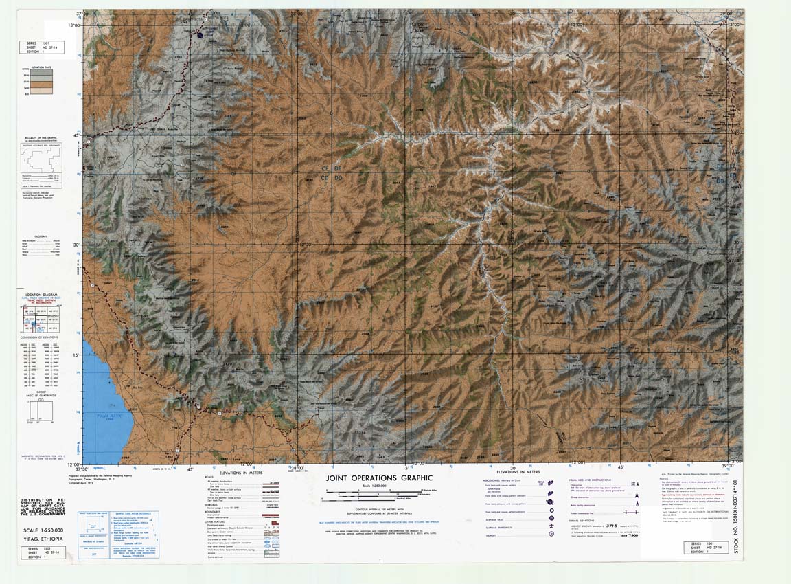
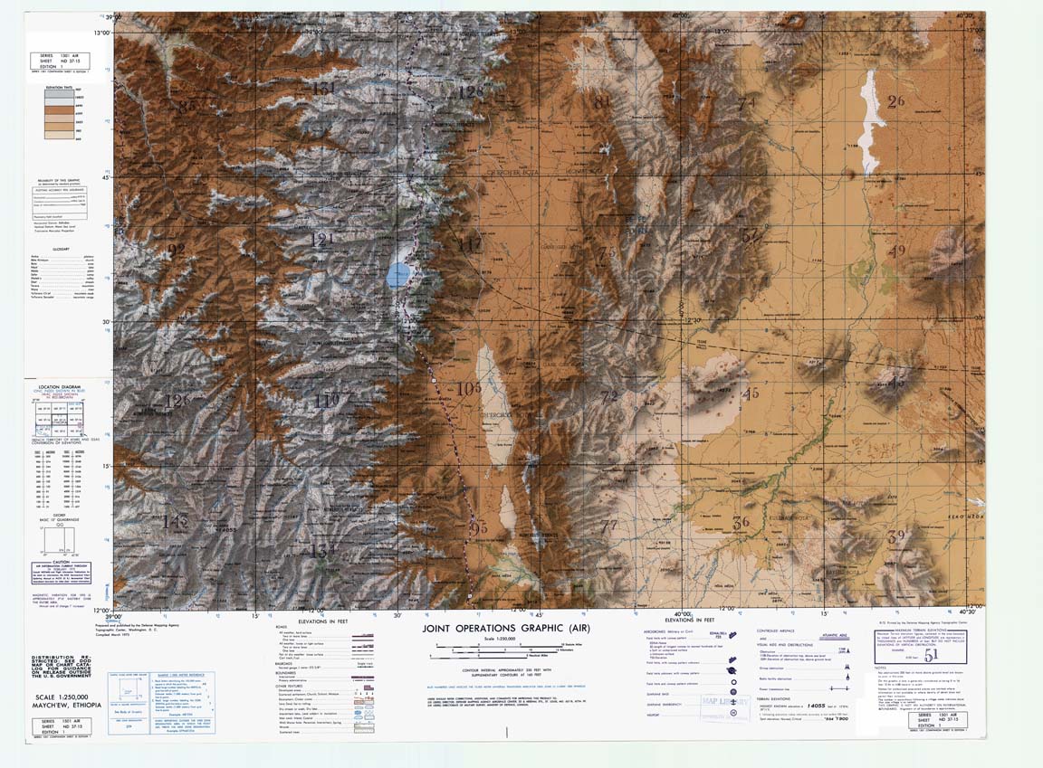
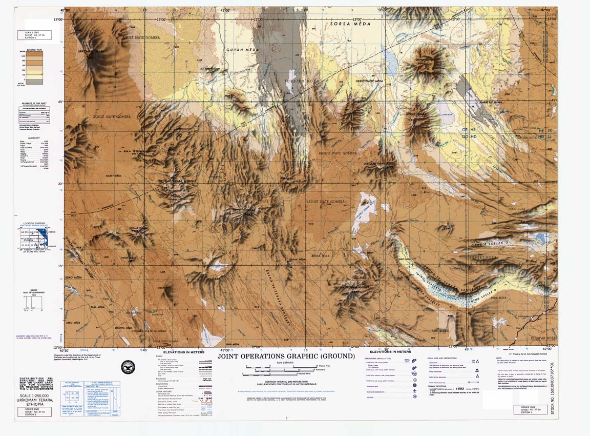
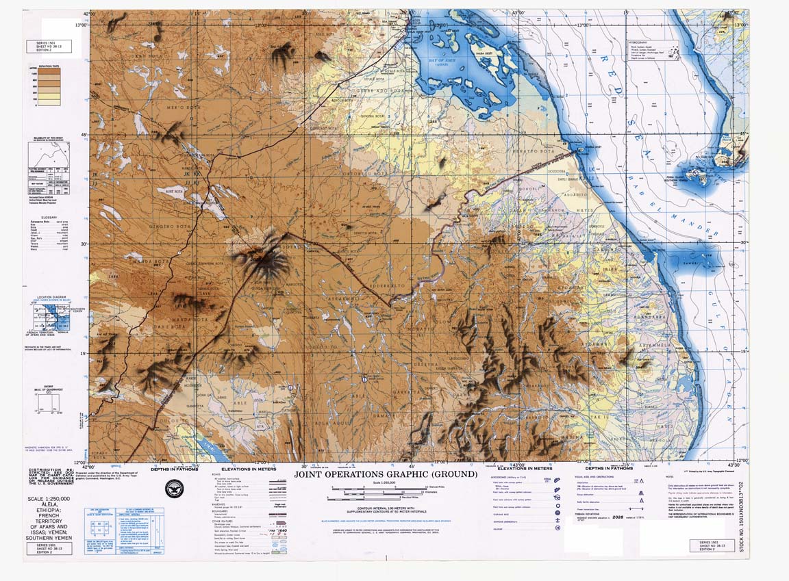
Title: Ethiopia. Prepared from 1:250,000 Joint Operations Graphic, series 1501.
Originator: YaʼItyoṗyā kārtā śerā derejet
Publication Place: Washington DC, USA
Publisher: Defense Mapping Agency. Hydrographic/Topographic Center.
Beginning Date: 1979
Extent: 58 sheets
Color: color
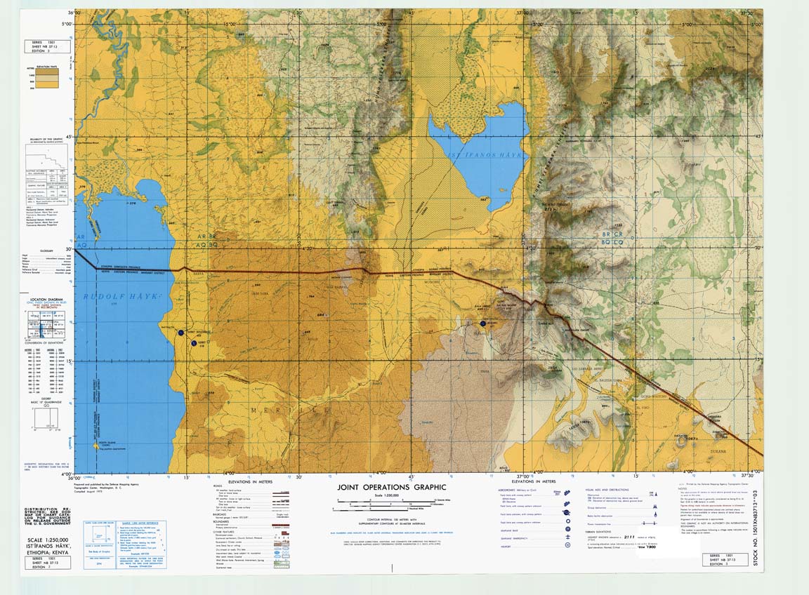
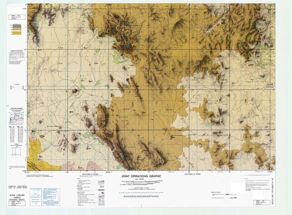
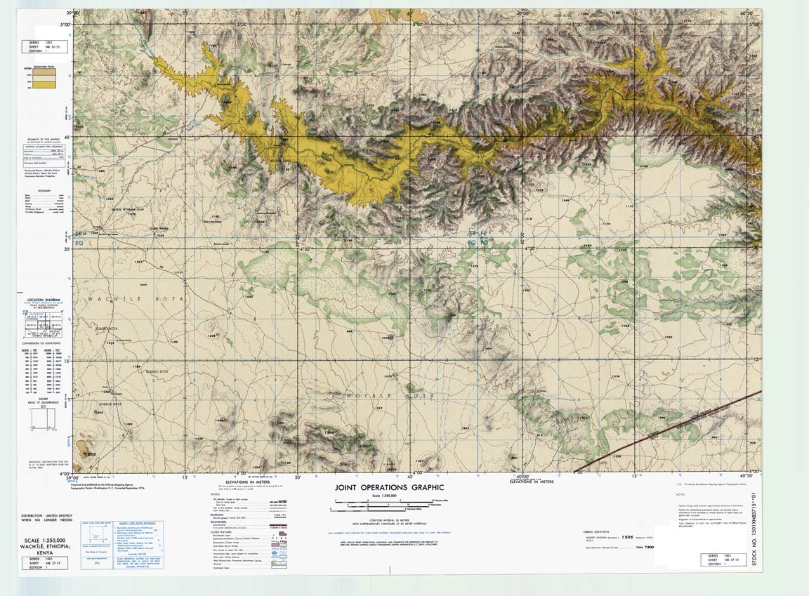
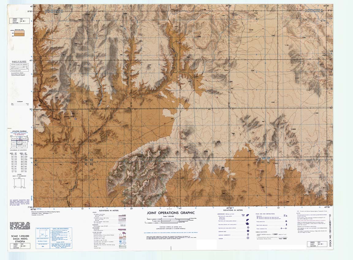
Scale: 1:250,000
Projection: Transverse Mercator
Format: Available for download in TIF and GeoTIF
Bounding Coordinate West: 34.5
Bounding Coordinate East: 48.0
Bounding Coordinate North: 15.0
Bounding Coordinate South: 3.0
Notes: Contour intervals: 25 and 50 meters and heights. Shows: grid, international and administrative boundaries, railways, roads (5 categories), tracks, trails, woods, airfields. The paper maps were scanned at 400 ppi, 8-bit (256 color). The scans were then geo-referenced using a 1st order or 2nd order polynomial transformations in Blue Marble Geographics Transformer.
Access Restriction: This resource has been licensed for use by the MSU community. For off-campus access, users must have a MSU NetID and password. Our contract with the vendor restricts off-campus access to currently enrolled MSU students and current employees. MSU Alumni are not included in these groups. Visitors to the main library may also access this resource at one of our Selected Resources computers. If your NetID and password are not working to get you into this site, please see this Guide to Off-Campus Access.