
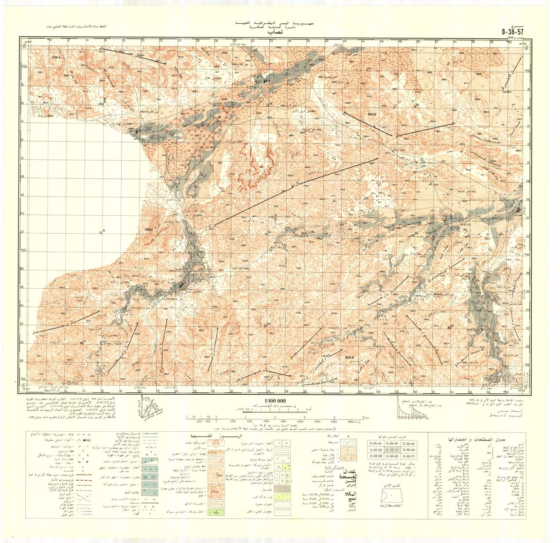
Yemen 1:100,000
Contact Information
Map Library
Main Library Building
Michigan State University
366 W. Circle Drive, Room E240
East Lansing, MI 48824
Phone: (517) 884-6467
Title: The Republic of Yemen 1:100,000, Series RY 100
Originator: Great Britain. Directorate of Overseas Surveys
Publication Place: Tolworth, United Kingdom
Publisher: [Tolworth] : Published by the Government of the United Kingdom (Ordnance Survey) for the Government of the Republic of Yemen
Edition: Ed. 1-05D
Beginning Date: 1990
Extent: 223 Sheets
Color: Color
Scale: 1:100,000
Projection: Transverse Mercator
Format: Available for download in TIF and GeoTIFF
Bounding Coordinate West: 42.25
Bounding Coordinate East: 55
Bounding Coordinate North: 19
Bounding Coordinate South: 12
Notes:
Access Restriction: This resource has been licensed for use by the MSU community. For off-campus access, users must have a MSU NetID and password. Our contract with the vendor restricts off-campus access to currently enrolled MSU students and current employees. MSU Alumni are not included in these groups. Visitors to the main library may also access this resource at one of our Selected Resources computers. If your NetID and password are not working to get you into this site, please see this Guide to Off-Campus Access.