
Footpath to Freeway: The Evolution of Michigan Road Maps
This exhibit traces how roads have been depicted on Michigan maps from the time it was a territory to the present. In addition to maps, it includes photographs, unique short-lived route guides and artifacts. Maps evolved in step with the road system and showed advances such as named roads which were in time replaced with numbered state and federal routes. Publishers include map giants Rand McNally and Gousha who also supplied oil companies with their ubiquitous freely distributed roadmaps.
Part 3: Automobile Route Guides
Click on thumbnail image to view larger image.
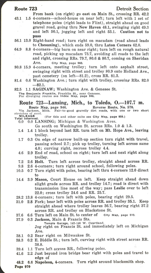
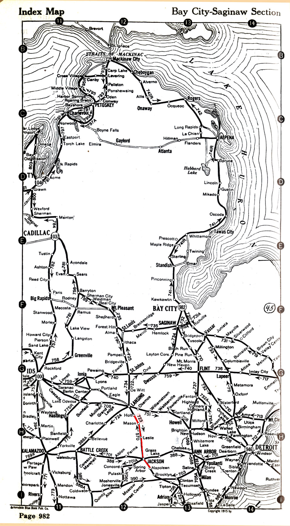
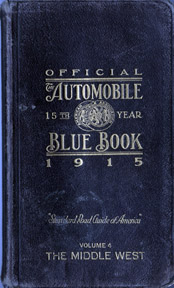
Official Automobile Blue Book, 1915. Vol. 4: Middle West
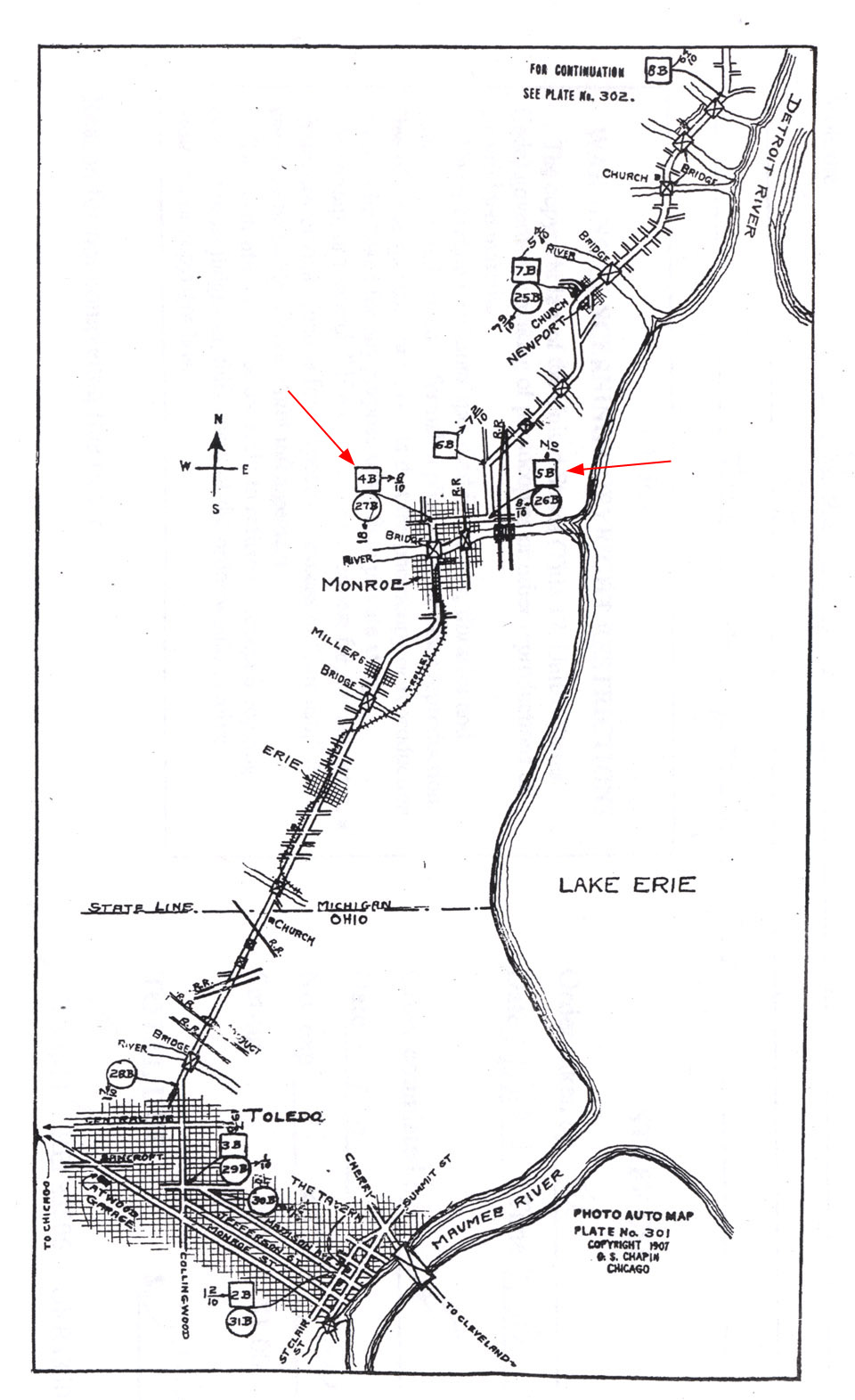
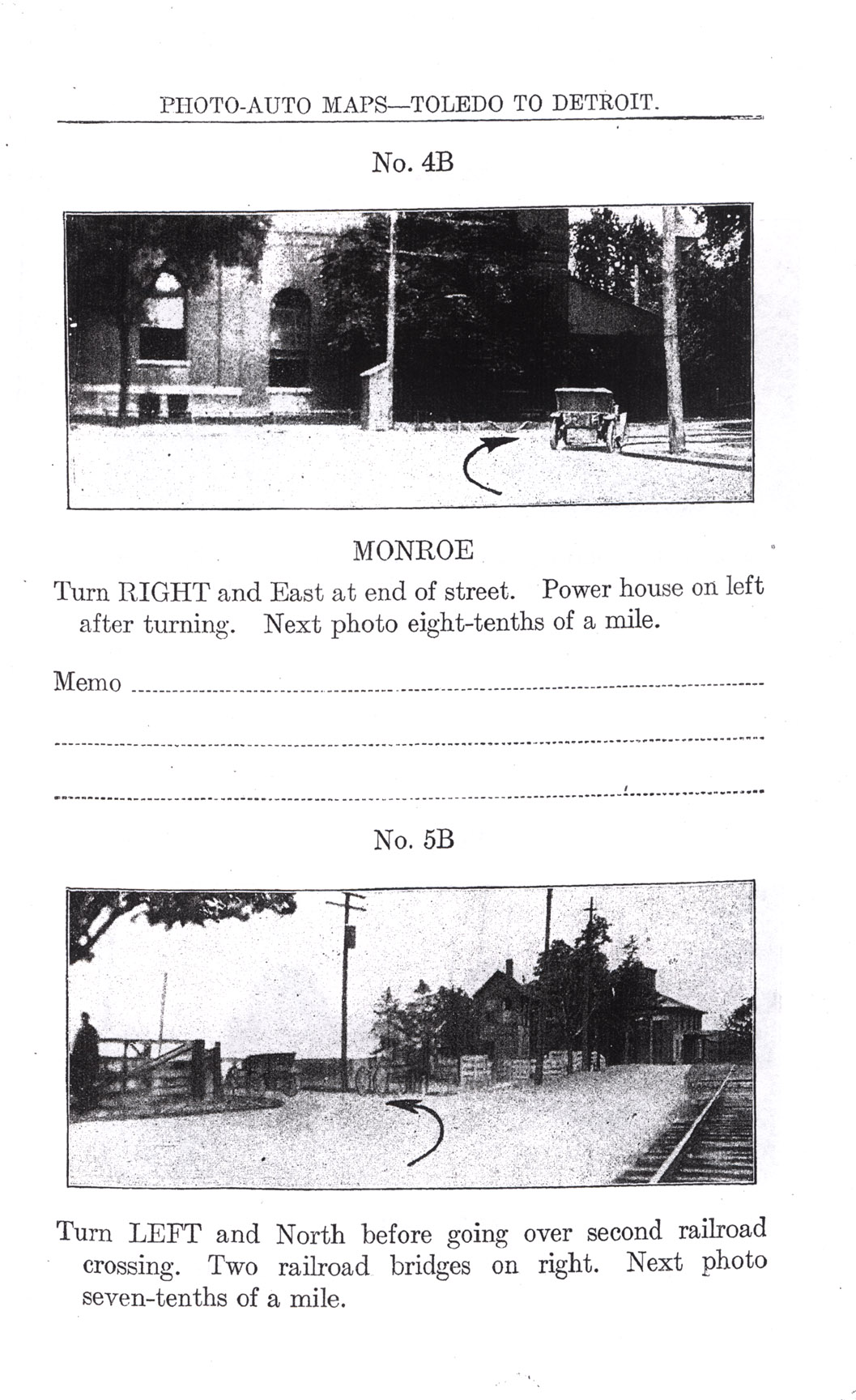
Rand McNally Photo Auto Guide
R.E. Olds test driving the curved dash Oldsmobile in Lansing, Michigan
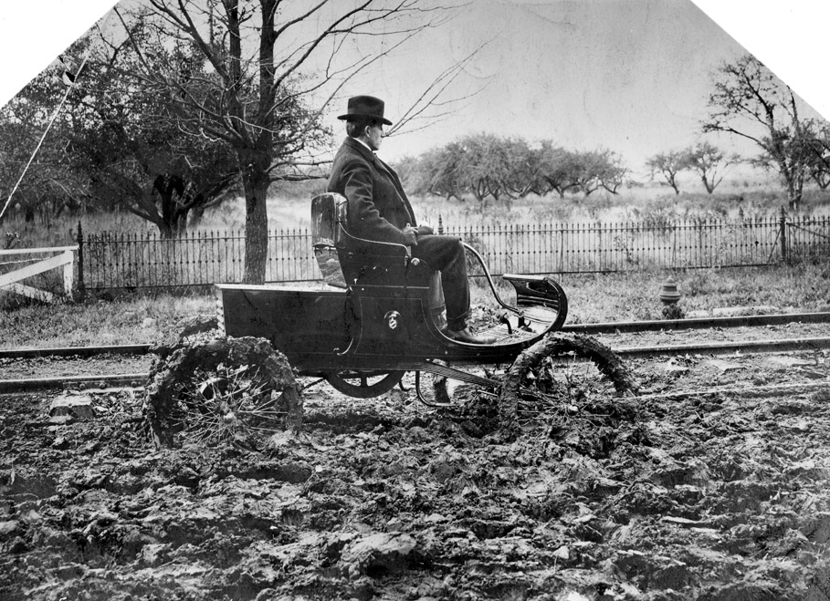
During the first decade of the twentieth century the conditions of the roads were still quite dreadful. Over 90 percent of the roads outside the cities in 1904 were still dirt, while the others were composed of only gravel, stones, or shells. Dusty when dry, filled with bottomless chuckholes when wet, and with few bridges, the roads were often impassible. They were also without signposts.
"When my father bought his first Ford roadster in 1904, he tried to drive it to Port Huron. In one ten-mile stretch between Lapeer and Imlay City he got stuck in the middle of the road eight times and each time he had to be hauled out by a farmer with a team of horses. When he got to Imlay City he had the Ford put on a railroad flatcar and sent it back home. It was seven more years before roads improved enough so that he dared try it again."E. Love. The Situation in Flushing. New York: Harper & Row, 1965, p. 184