
Vietnam 1:50,000
Contact Information
Map Library
Main Library Building
Michigan State University
366 W. Circle Drive, Room E240
East Lansing, MI 48824
Phone: (517) 884-6467
Title: Vietnam.
Originator:
Publication Place: Washington DC, USA
Publisher: Defense Mapping Agency. Hydrographic/Topographic Center.
Beginning Date: 1965
Extent: 564 sheets
Color: color
Scale: 1:50,000
Projection: Transverse Mercator
Format: Available for download in TIF and GeoTIF
Bounding Coordinate West: 103
Bounding Coordinate East: 108
Bounding Coordinate North: 23
Bounding Coordinate South: 9
Notes: Contour intervals:. Shows: Relief by contours and spot heights, depths shown by contours and soundings. Cultural features and vegetation shown by shading and symbols. In English, French and Vietnamese. Each sheet covers 15 minutes of latitude and longitude. The paper maps were scanned at 400 ppi, 8-bit (256 color). The scans were then geo-referenced using a 1st order or 2nd order polynomial transformations in Blue Marble Geographics Transformer.
Access Restriction: This resource has been licensed for use by the MSU community. For off-campus access, users must have a MSU NetID and password. Our contract with the vendor restricts off-campus access to currently enrolled MSU students and current employees. MSU Alumni are not included in these groups. Visitors to the main library may also access this resource at one of our Selected Resources computers. If your NetID and password are not working to get you into this site, please see this Guide to Off-Campus Access.
Embeded Vietnam 1:50,000
Vietnam 1:50,000 Sheet List
| Name | Sheet # | Year | Contour Interval | Publisher | Thumbnail | Tif | GeoTiff |
|---|---|---|---|---|---|---|---|
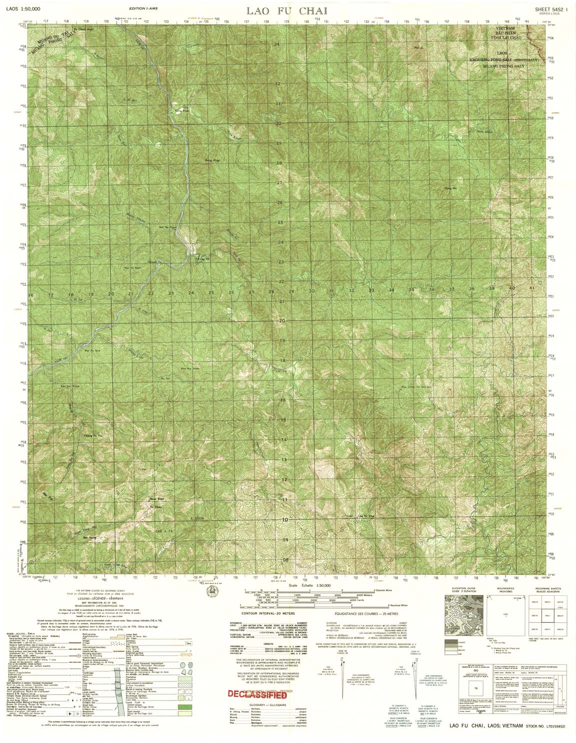
| Lao Pf Chai | 5452_1 | 1965 | 20 | US Army | 5452_1.jpg | 5452_1.tif | 5452_1.zip |
| Giang Mung Pho | 5453_1 | 1965 | 20 | NIMA | 5453_1.jpg | 5453_1.tif | 5453_1.zip |
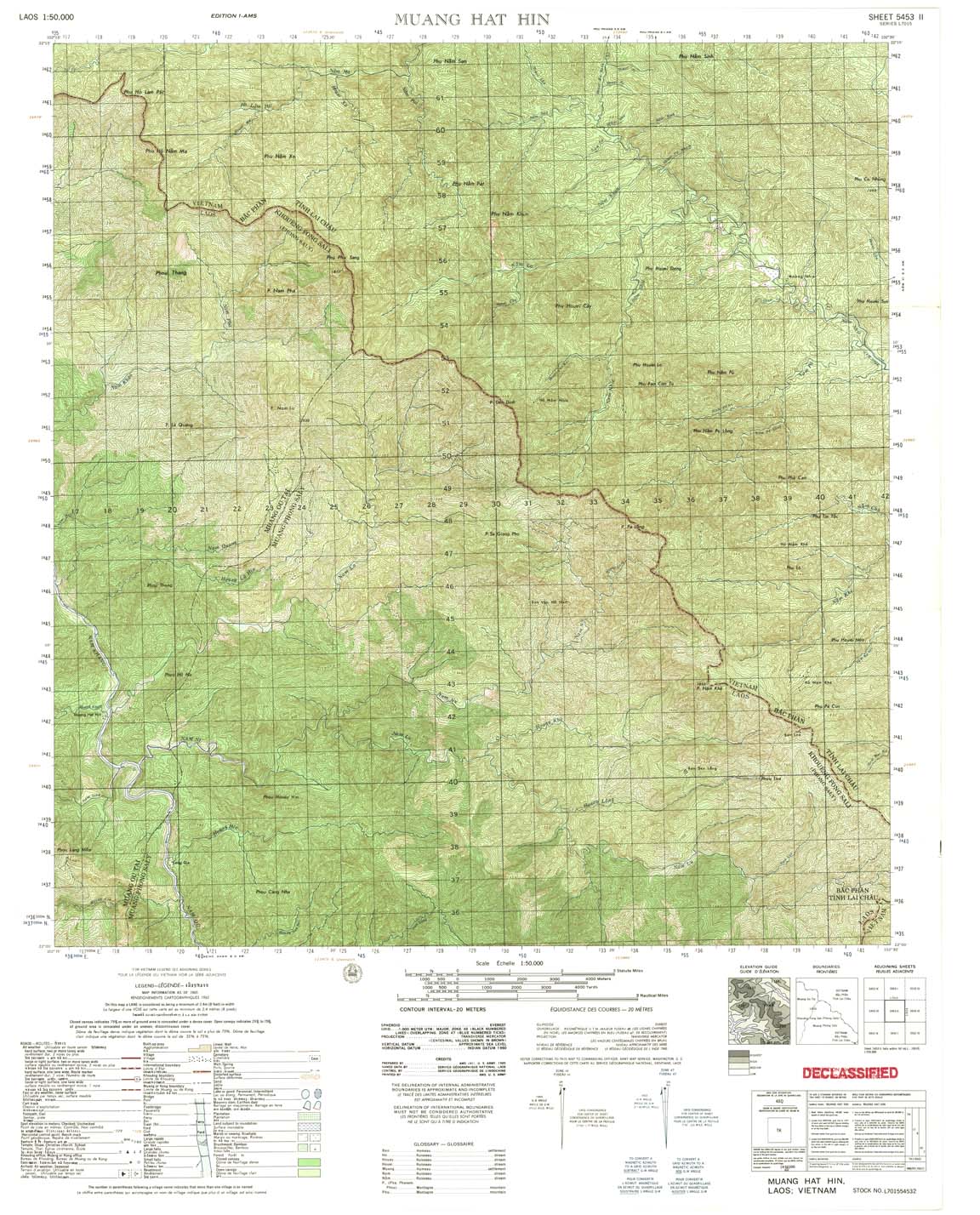
| Muang Hat Hin | 5453_2 | 1965 | 20 | US Army | 5453_2.jpg | 5453_2.tif | 5453_2.zip |
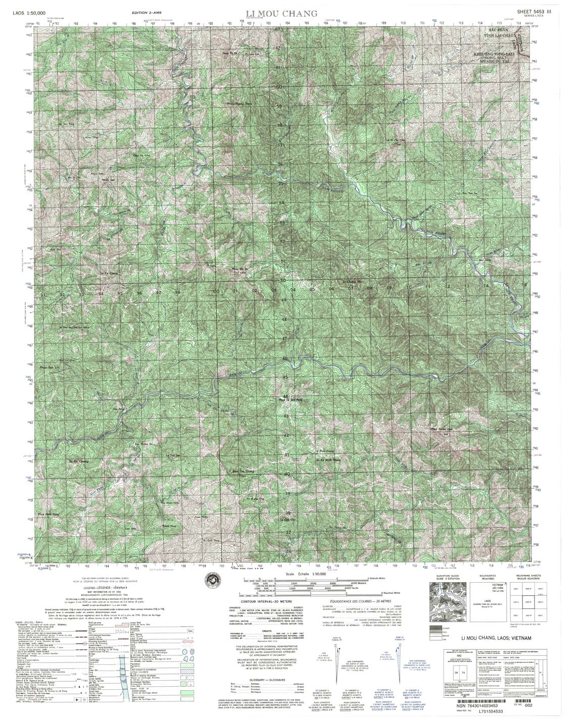
| Li Mou Chang | 5453_3 | 1966 | 20 | NIMA | 5453_3.jpg | 5453_3.tif | 5453_3.zip |
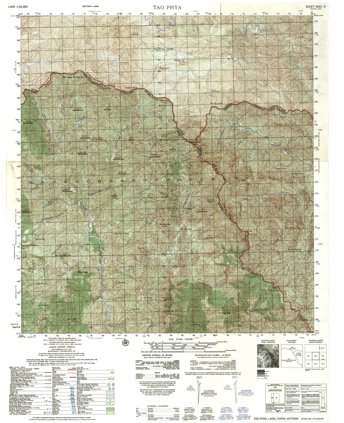
| Tao Phya | 5453_4 | 1965 | 20 | US Army | 5453_4.jpg | 5453_4.tif | 5453_4.zip |
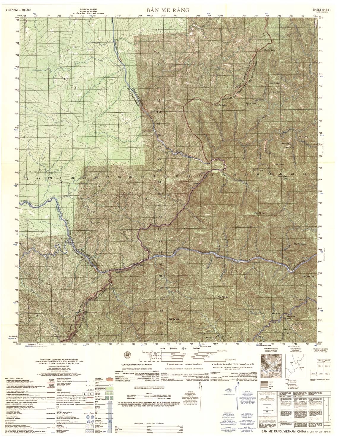
| Ban Me Rang | 5454_2 | 1965 | 20 | US Army | 5454_2.jpg | 5454_2.tif | 5454_2.zip |
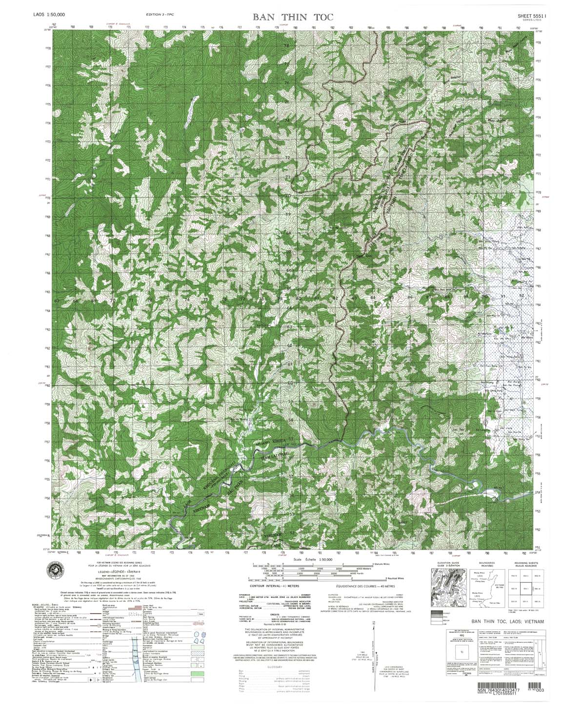
| Ban Thin Toc | 5551_1 | 1968 | 40 | NIMA | 5551_1.jpg | 5551_1.tif | 5551_1.zip |
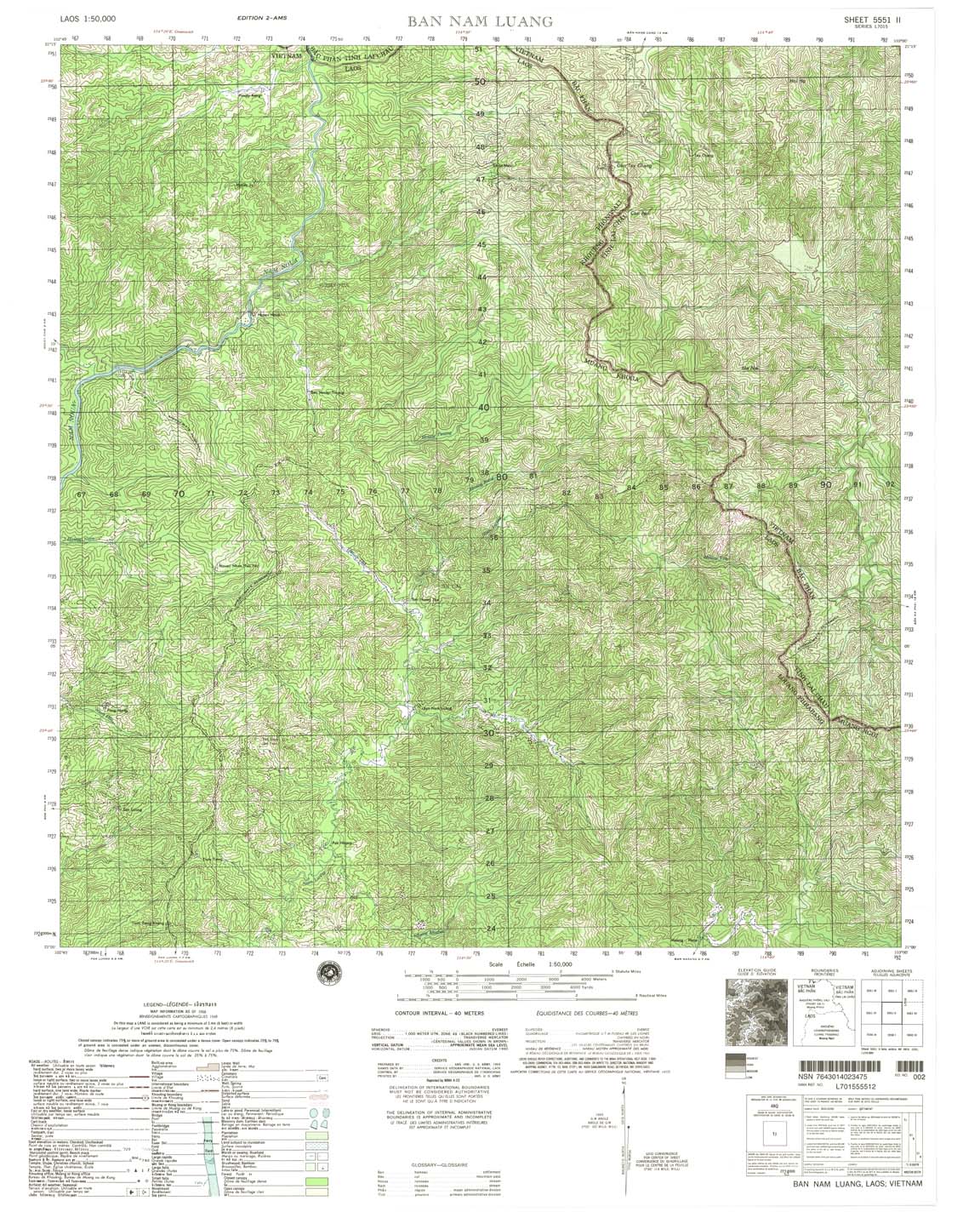
| Ban Nam Luang | 5551_2 | 1968 | 40 | NIMA | 5551_2.jpg | 5551_2.tif | 5551_2.zip |
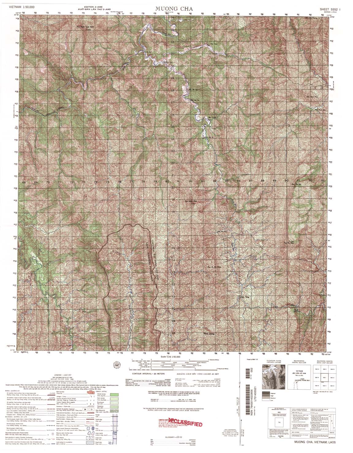
| Moung Cha | 5552_1 | 1966 | 20 | US Army | 5552_1.jpg | 5552_1.tif | 5552_1.zip |
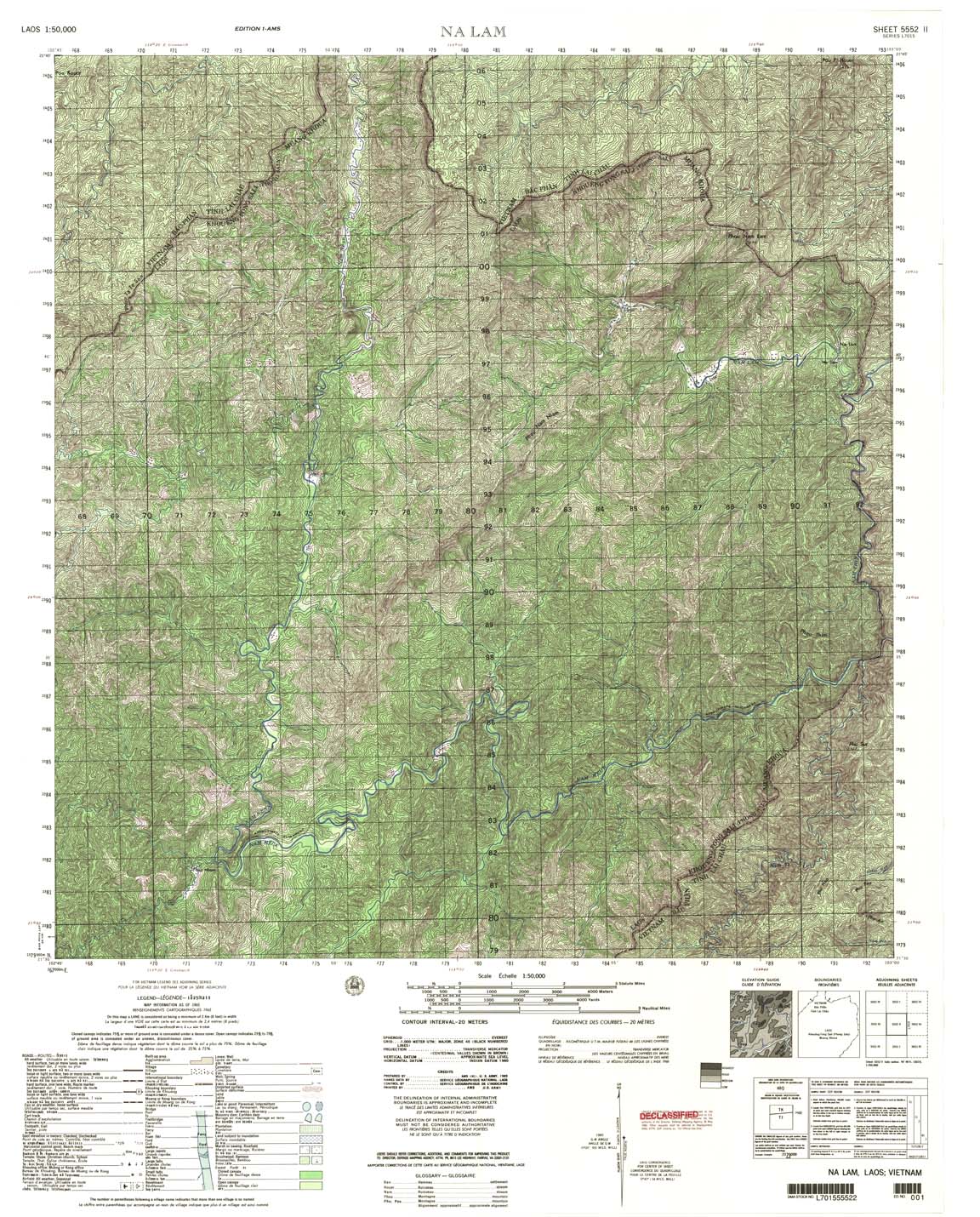
| Na Lam | 5552_2 | 1965 | 20 | US Army | 5552_2.jpg | 5552_2.tif | 5552_2.zip |
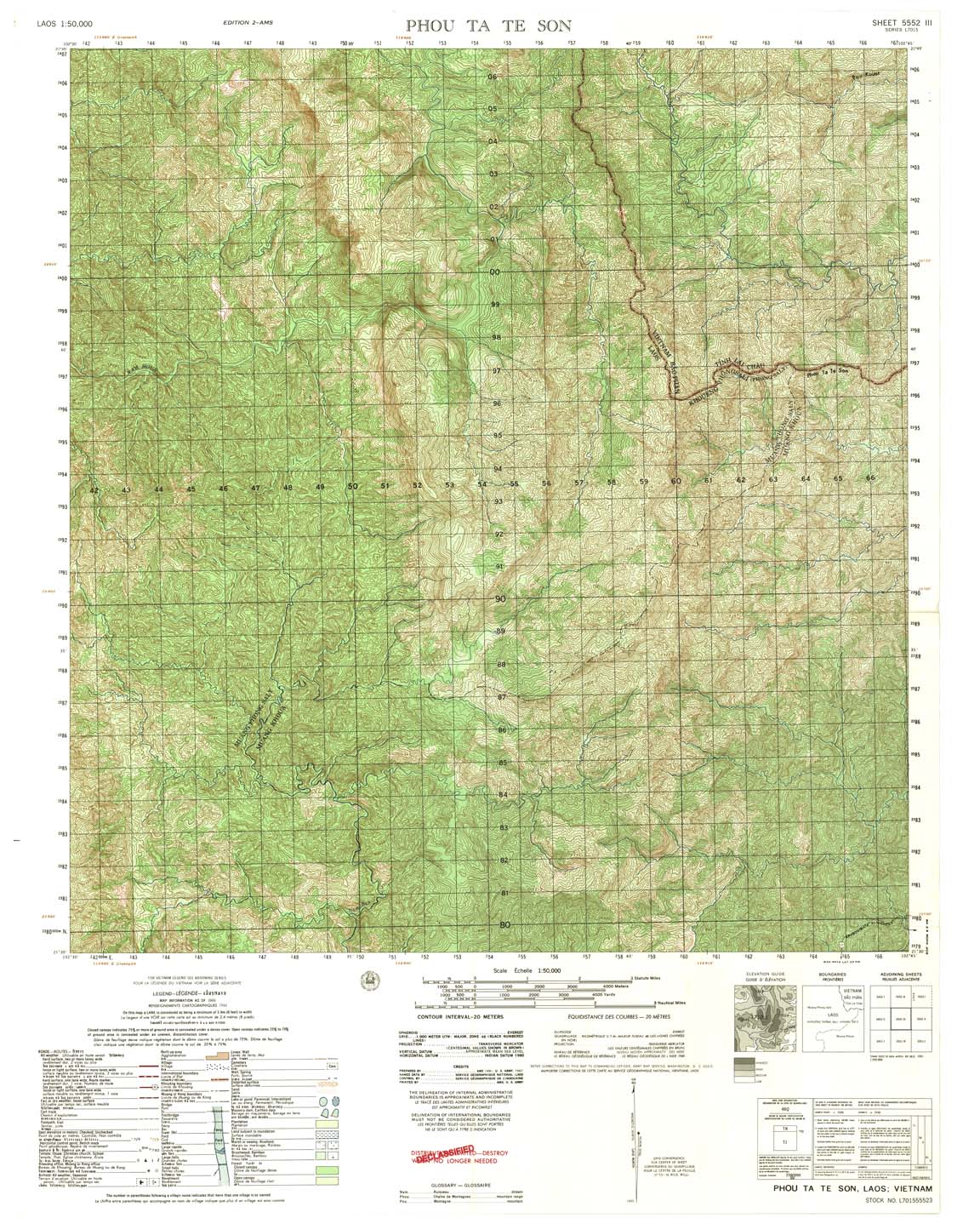
| Phou Ta Te Son | 5552_3 | 1966 | 20 | US Army | 5552_3.jpg | 5552_3.tif | 5552_3.zip |
| Pou B | 5552_4 | 1966 | 20 | US Army | 5552_4.jpg | 5552_4.tif | 5552_4.zip |
| Muong Boum | 5553_1 | 1966 | 20 | US Army | 5553_1.jpg | 5553_1.tif | 5553_1.zip |
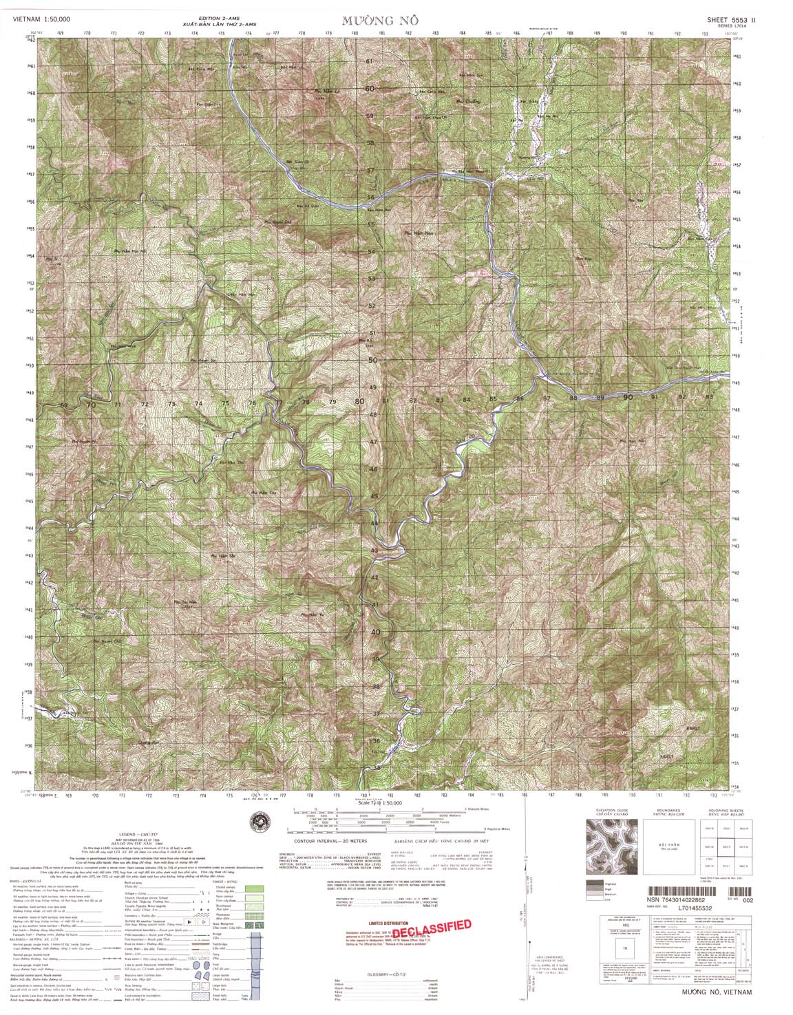
| Muong No | 5553_2 | 1966 | 20 | NIMA | 5553_2.jpg | 5553_2.tif | 5553_2.zip |
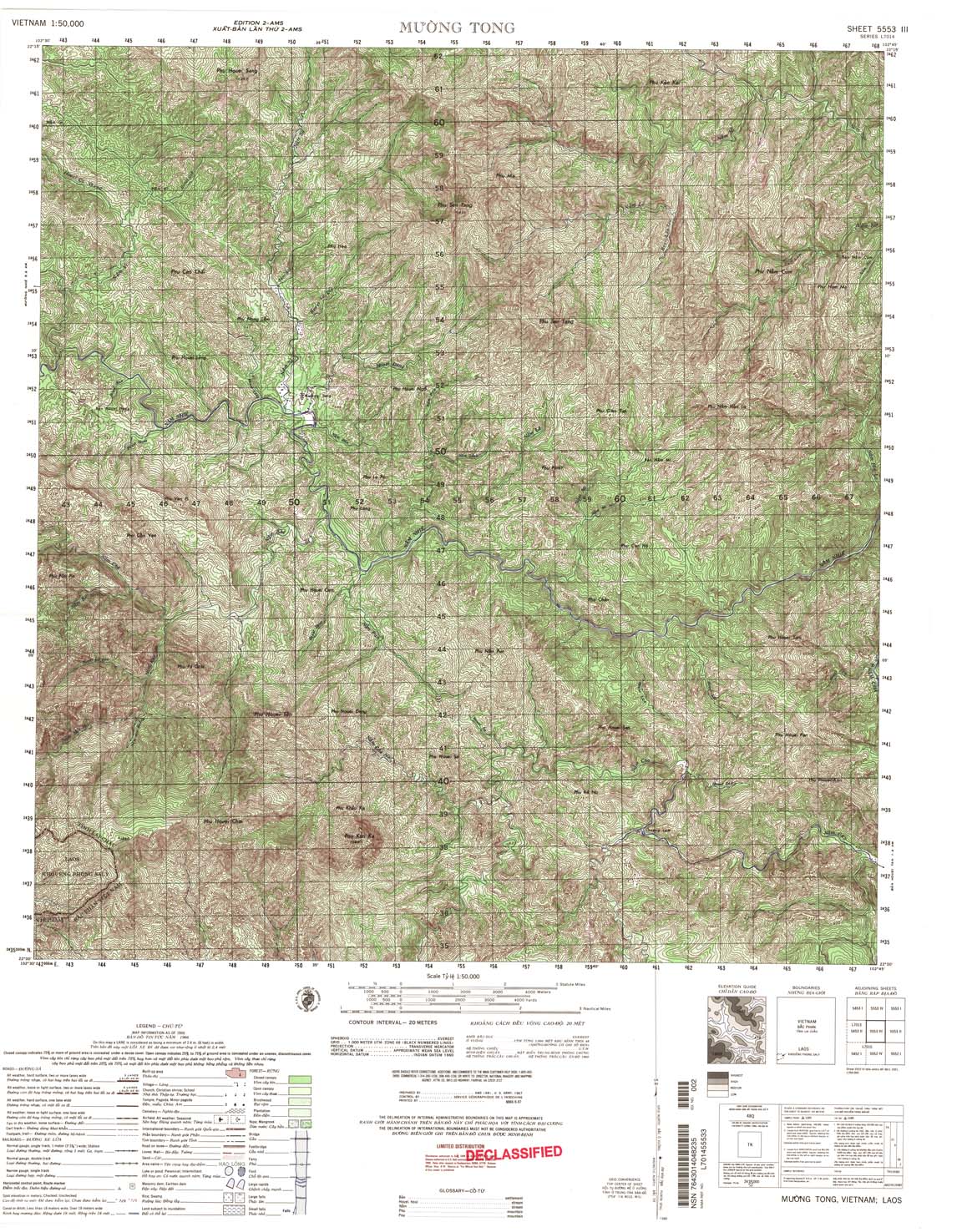
| Muong Tong | 5553_3 | 1966 | 20 | US Army | 5553_3.jpg | 5553_3.tif | 5553_3.zip |
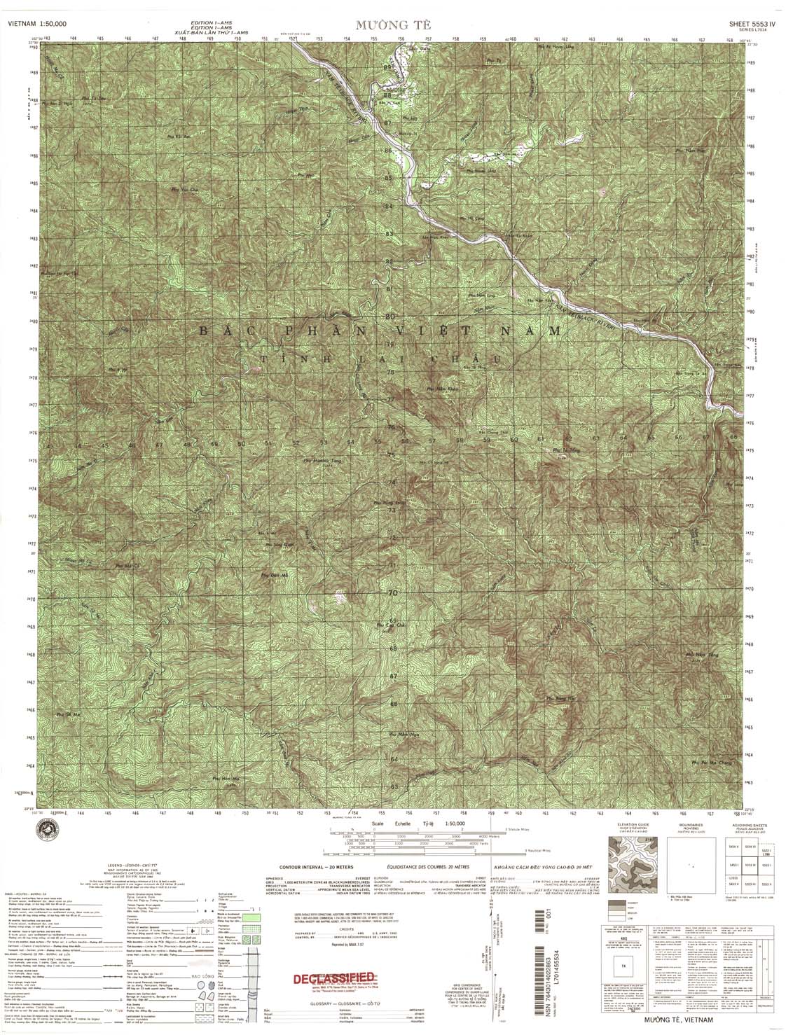
| Muong Te | 5553_4 | 1965 | 20 | NIMA | 5553_4.jpg | 5553_4.tif | 5553_4.zip |
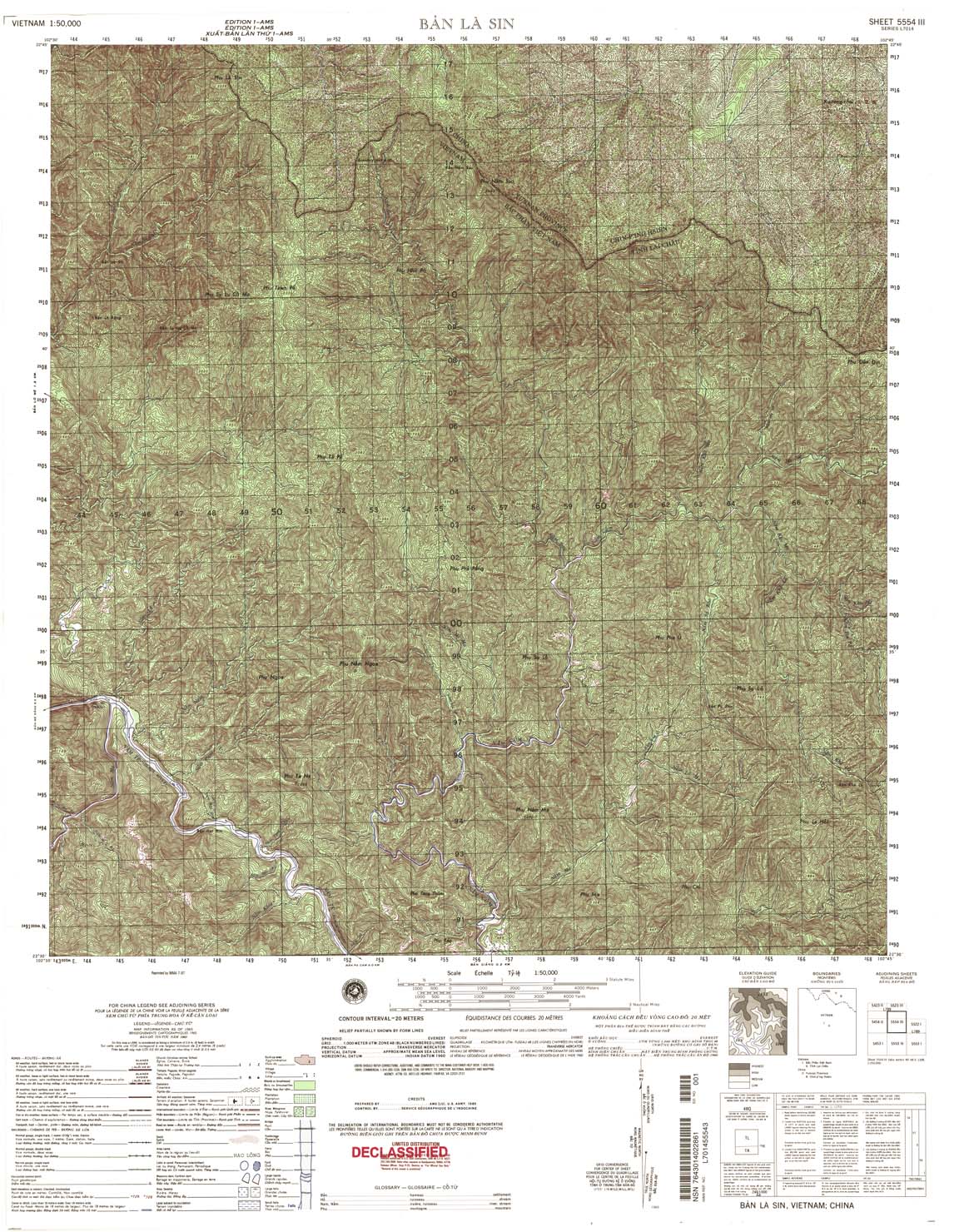
| Ban La Sin | 5554_3 | 1965 | 20 | NIMA | 5554_3.jpg | 5554_3.tif | 5554_3.zip |
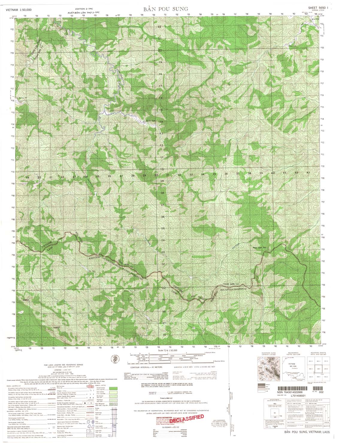
| Ban Pou Sung | 5650_1 | 1966 | 40 | US Army | 5650_1.jpg | 5650_1.tif | 5650_1.zip |
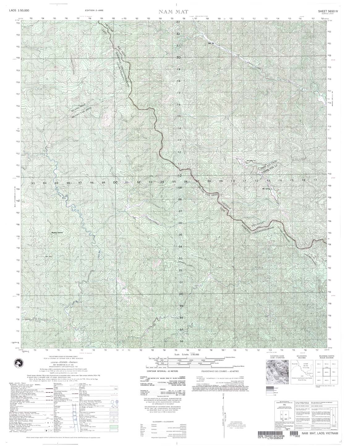
| Nam Mat | 5650_4 | 965 | 40 | US Army | 5650_4.jpg | 5650_4.tif | 5650_4.zip |
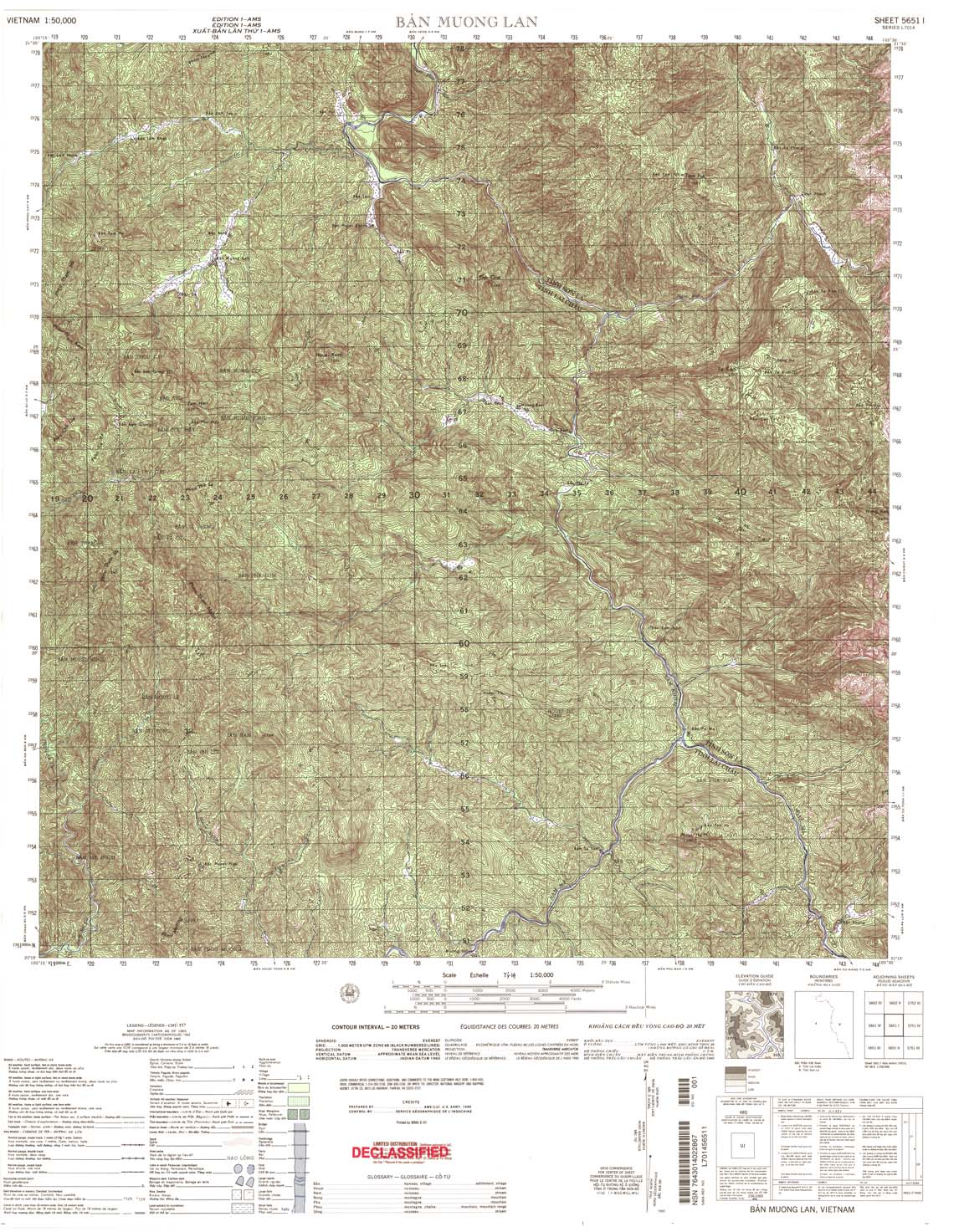
| Ban Muong Lan | 5651_1 | 1965 | 20 | US Army | 5651_1.jpg | 5651_1.tif | 5651_1.zip |
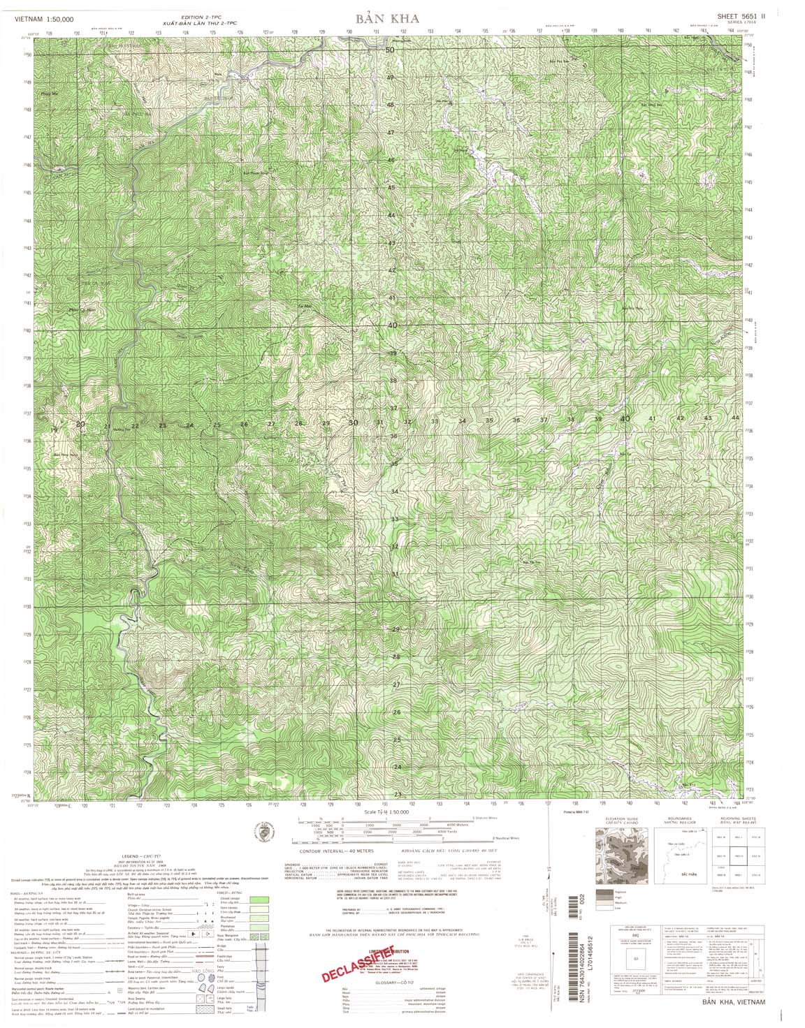
| Ban Kha | 5651_2 | 1968 | 40 | US Army | 5651_2.jpg | 5651_2.tif | 5651_2.zip |
| Ban Na Phai | 5651_3 | 1968 | 40 | NIMA | 5651_3.jpg | 5651_3.tif | 5651_3.zip |
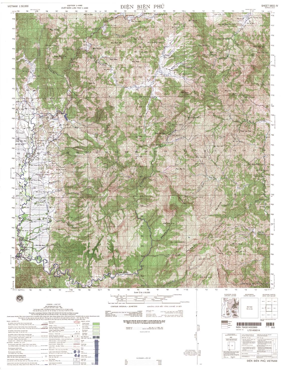
| Dien Bien Phu | 5651_4 | 1966 | 20 | NIMA | 5651_4.jpg | 5651_4.tif | 5651_4.zip |
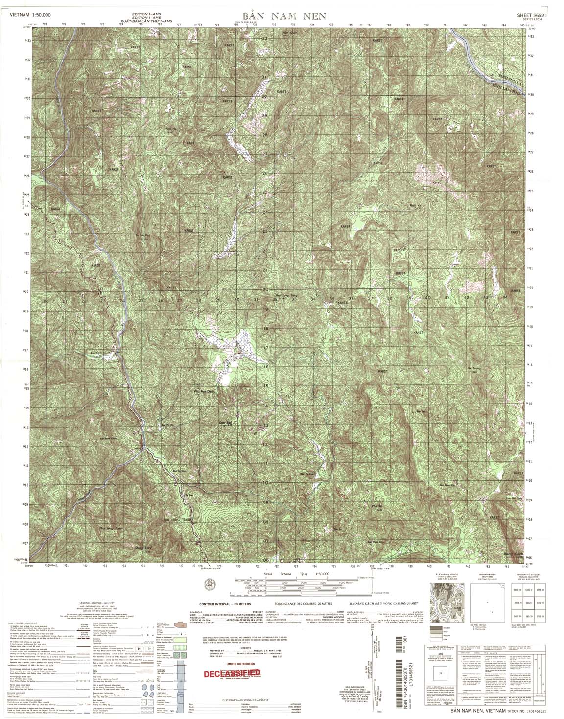
| Ban Nam Nen | 5652_1 | 1965 | 20 | US Army | 5652_1.jpg | 5652_1.tif | 5652_1.zip |
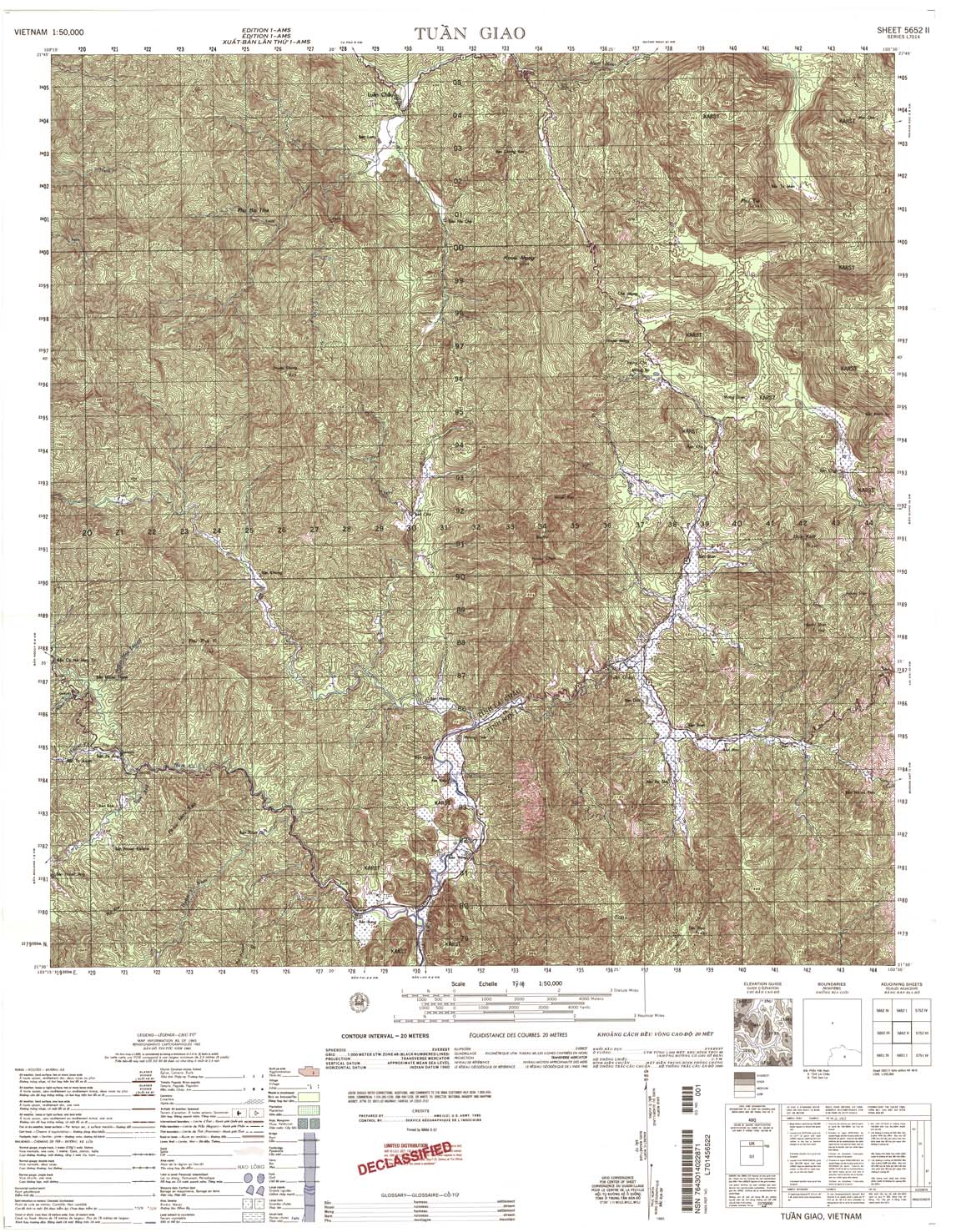
| Tuan Giao | 5652_2 | 1965 | 20 | US Army | 5652_2.jpg | 5652_2.tif | 5652_2.zip |
| Muong Ang | 5652_3 | 1965 | 20 | NIMA | 5652_3.jpg | 5652_3.tif | 5652_3.zip |
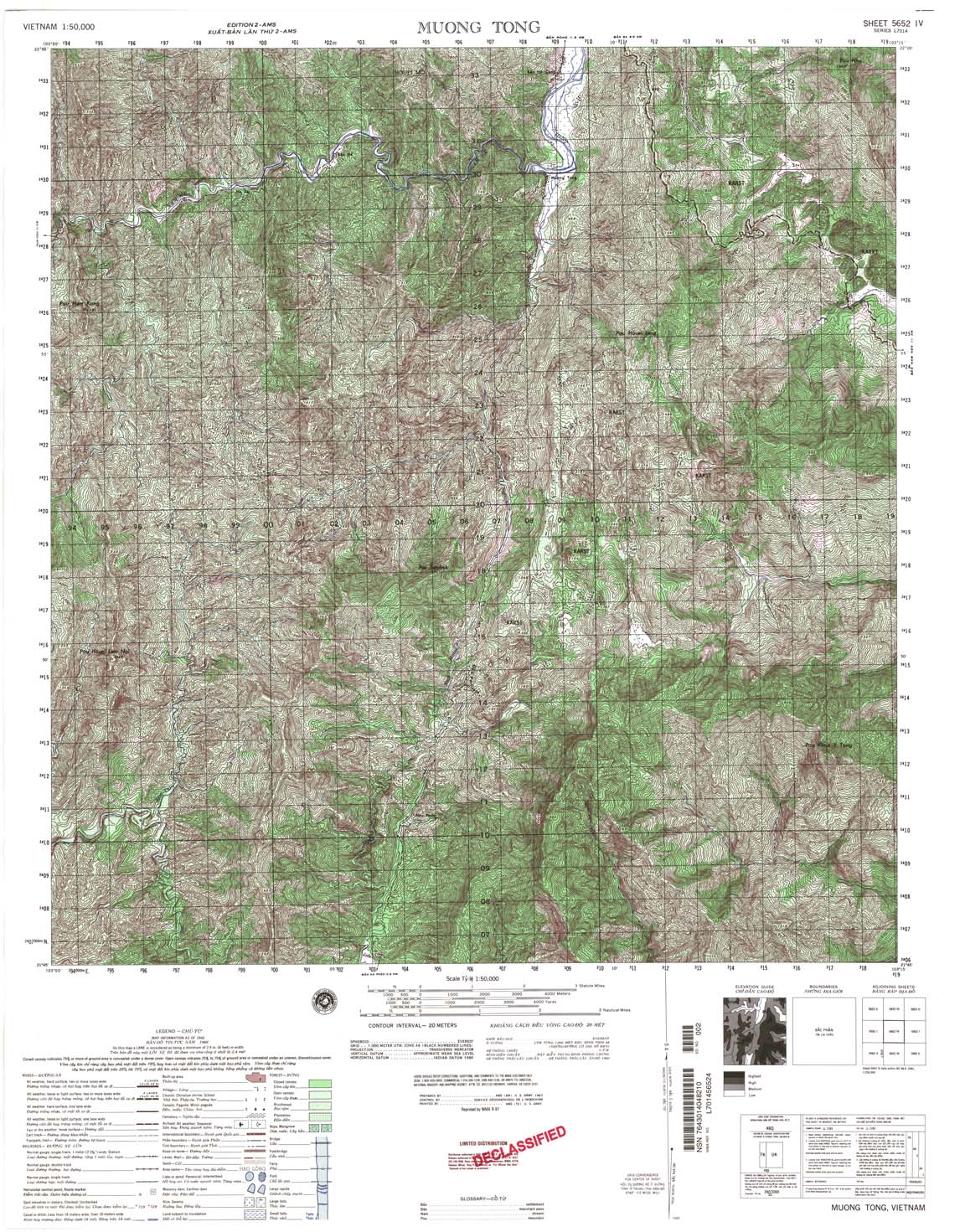
| Muong Tong | 5652_4 | 1966 | 20 | NIMA | 5652_4.jpg | 5652_4.tif | 5652_4.zip |
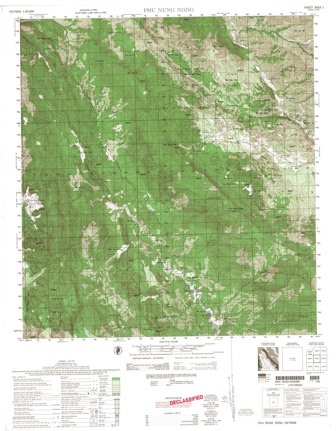
| Phu Nung Nong | 5653_1 | 1966 | 20 | US Army | 5653_1.jpg | 5653_1.tif | 5653_1.zip |
| Nam Ma | 5653_2 | 1966 | 20 | US Army | 5653_2.jpg | 5653_2.tif | 5653_2.zip |
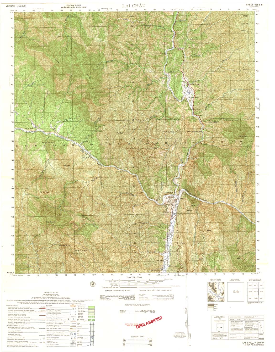
| Lai Chau | 5653_3 | 1966 | 20 | US Army | 5653_3.jpg | 5653_3.tif | 5653_3.zip |
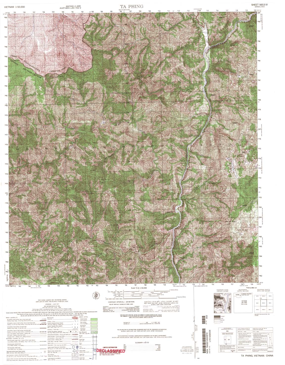
| Ta Phing | 5653_4 | 1966 | 20 | US Army | 5653_4.jpg | 5653_4.tif | 5653_4.zip |
| Phong Tho | 5654_2 | 1965 | 20 | US Army | 5654_2.jpg | 5654_2.tif | 5654_2.zip |
| Hon Thom | 5728_1 | 1957 | 20 | US Army | 5728_1.jpg | 5728_1.tif | 5728_1.zip |
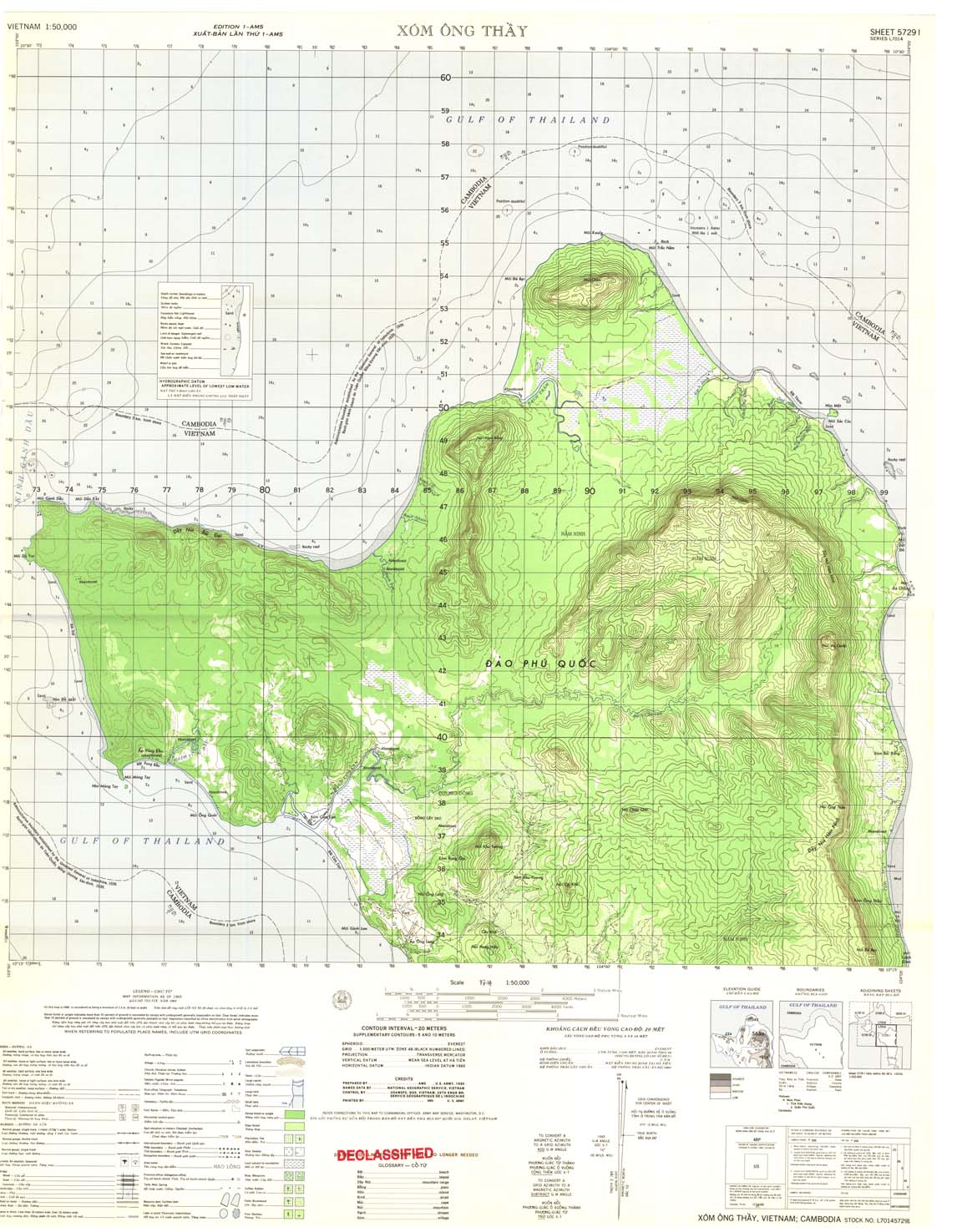
| Xom Ong Thay | 5729_1 | 1965 | 20 | US Army | 5729_1.jpg | 5729_1.tif | 5729_1.zip |
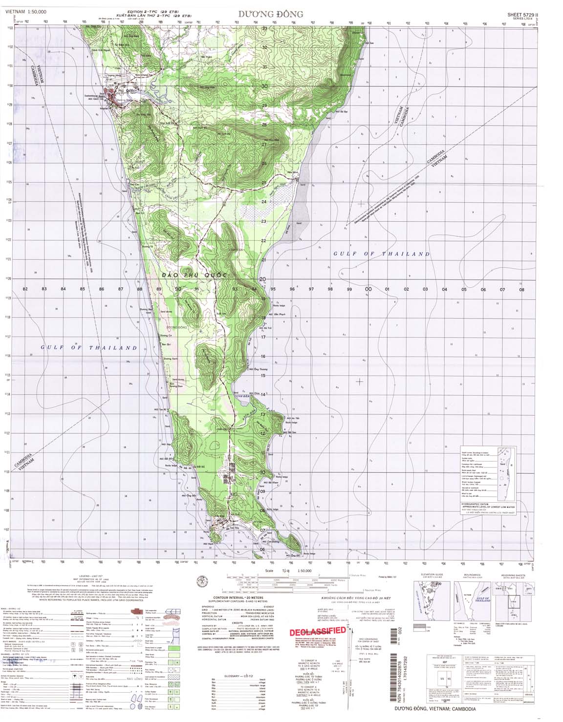
| Duong Dong | 5729_2 | 1968 | 20 | US Army | 5729_2.jpg | 5729_2.tif | 5729_2.zip |
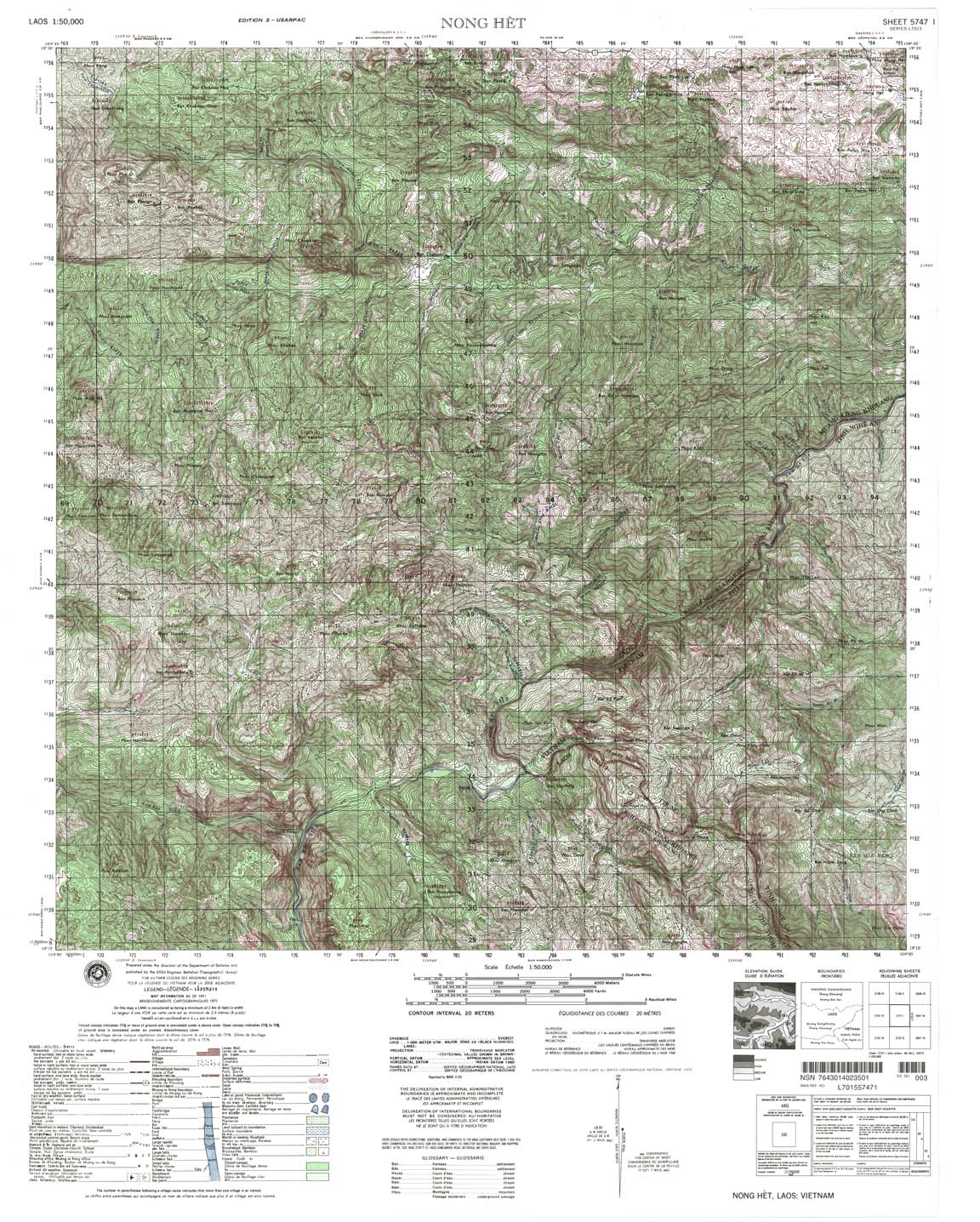
| Nong Het | 5747_1 | 1971 | 20 | NIMA | 5747_1.jpg | 5747_1.tif | 5747_1.zip |
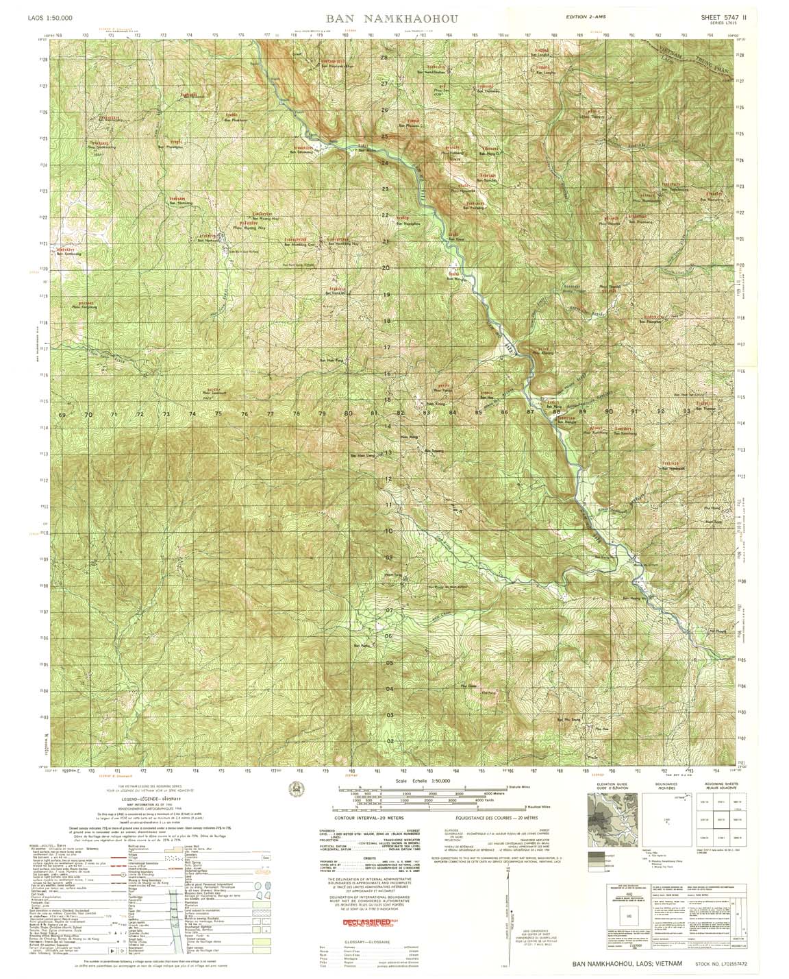
| Ban Namkhaohou | 5747_2 | 1966 | 20 | US Army | 5747_2.jpg | 5747_2.tif | 5747_2.zip |
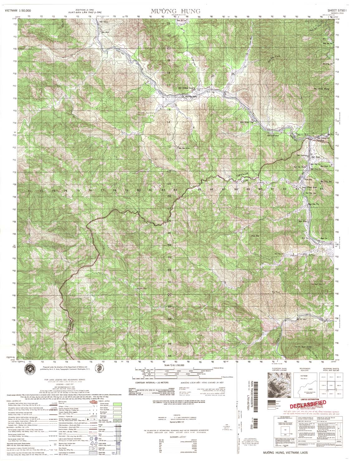
| Muong Hung | 5750_1 | 1969 | 20 | US Army | 5750_1.jpg | 5750_1.tif | 5750_1.zip |
| Ban Keng Long | 5750_2 | 1969 | 20 | US Army | 5750_2.jpg | 5750_2.tif | 5750_2.zip |
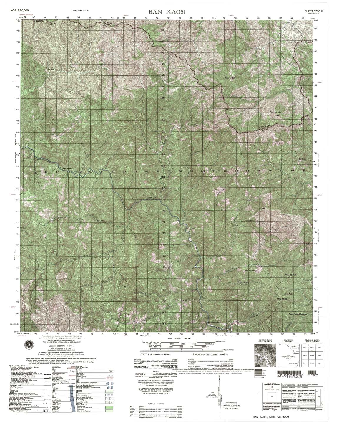
| Ban Xaosi | 5750_3 | 1969 | 20 | NIMA | 5750_3.jpg | 5750_3.tif | 5750_3.zip |
| Sop Cop | 5750_4 | 1965 | DMA | 5750_4.jpg | 5750_4.tif | 5750_4.zip | |
| Son La | 5751_1 | 1966 | 20 | US Army | 5751_1.jpg | 5751_1.tif | 5751_1.zip |
| Mai Son | 5751_2 | 1965 | 20 | NIMA | 5751_2.jpg | 5751_2.tif | 5751_2.zip |
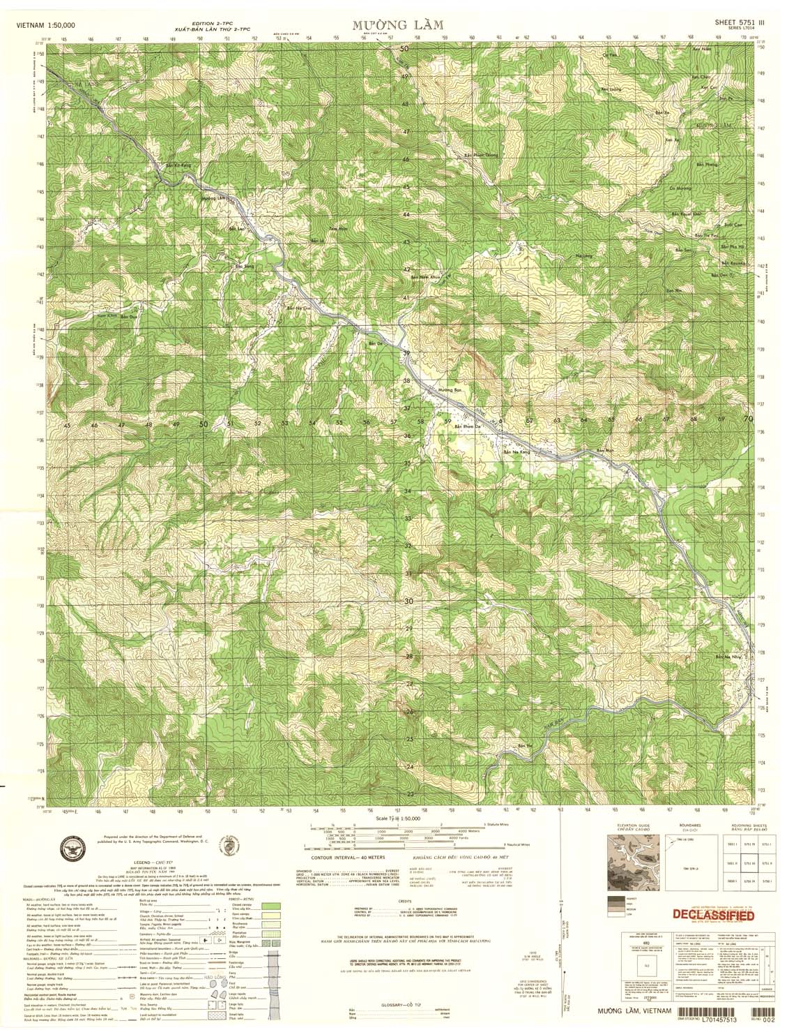
| Muong Lam | 5751_3 | 1969 | 40 | US Army | 5751_3.jpg | 5751_3.tif | 5751_3.zip |
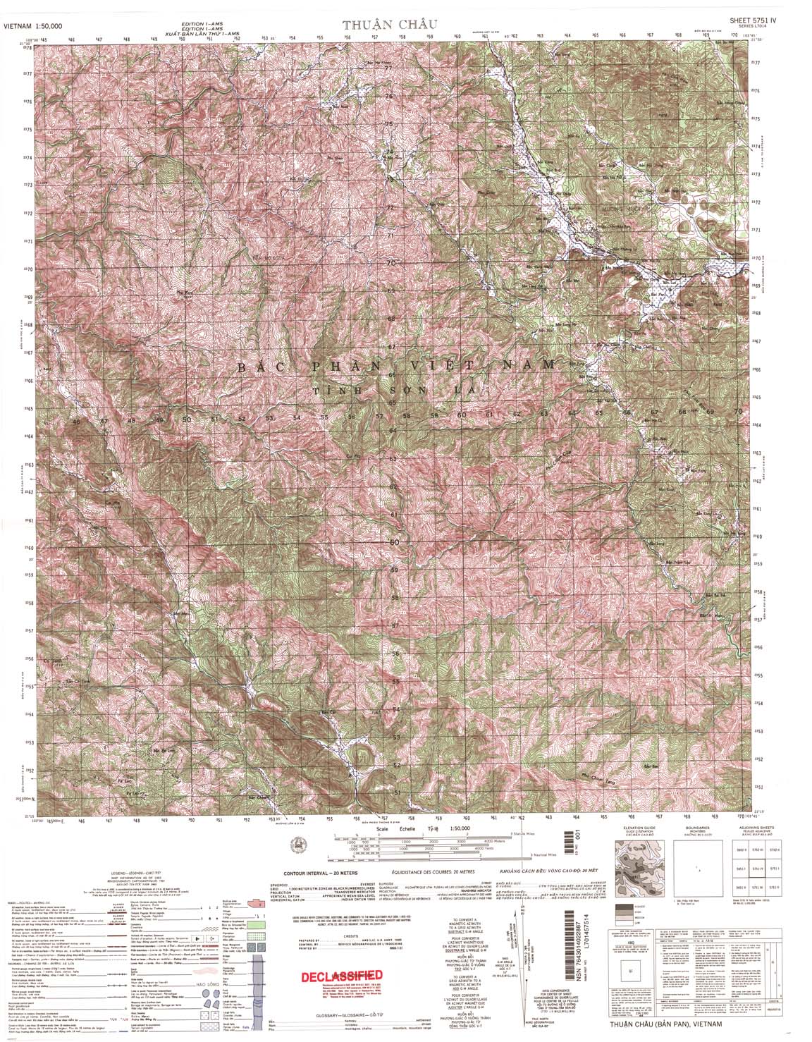
| Thuan Chau | 5751_4 | 1965 | 20 | US Army | 5751_4.jpg | 5751_4.tif | 5751_4.zip |
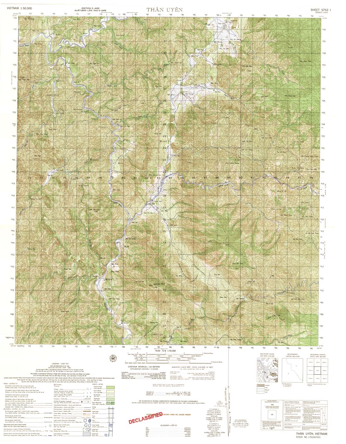
| Than Uyen | 5752_1 | 1966 | 20 | US Army | 5752_1.jpg | 5752_1.tif | 5752_1.zip |
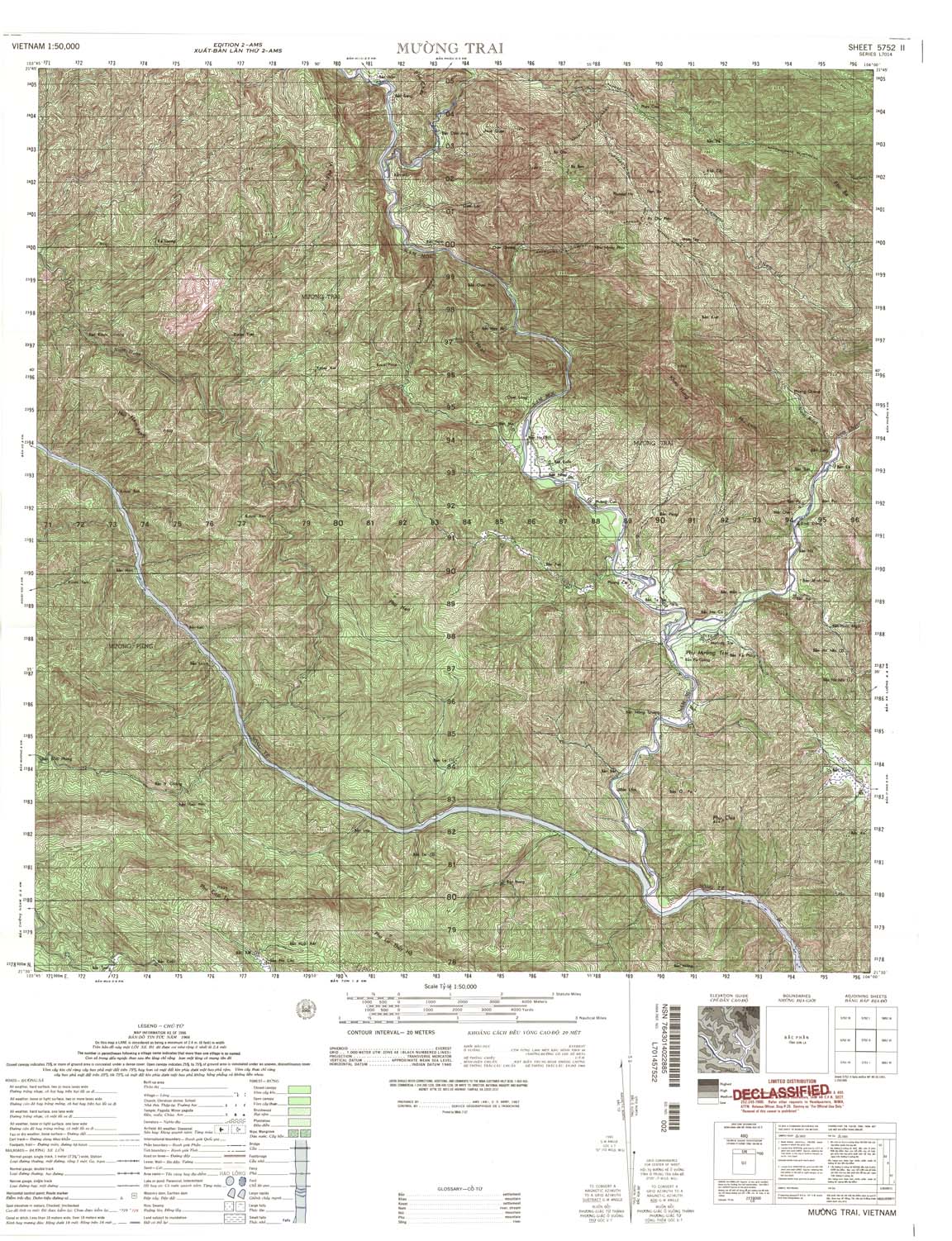
| Muong Trai | 5752_2 | 1966 | 20 | US Army | 5752_2.jpg | 5752_2.tif | 5752_2.zip |
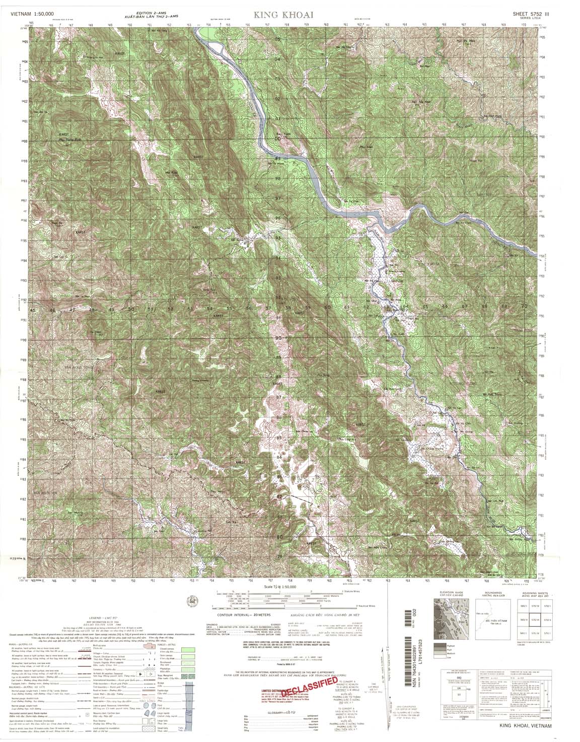
| King Khoai | 5752_3 | 1966 | 20 | US Army | 5752_3.jpg | 5752_3.tif | 5752_3.zip |
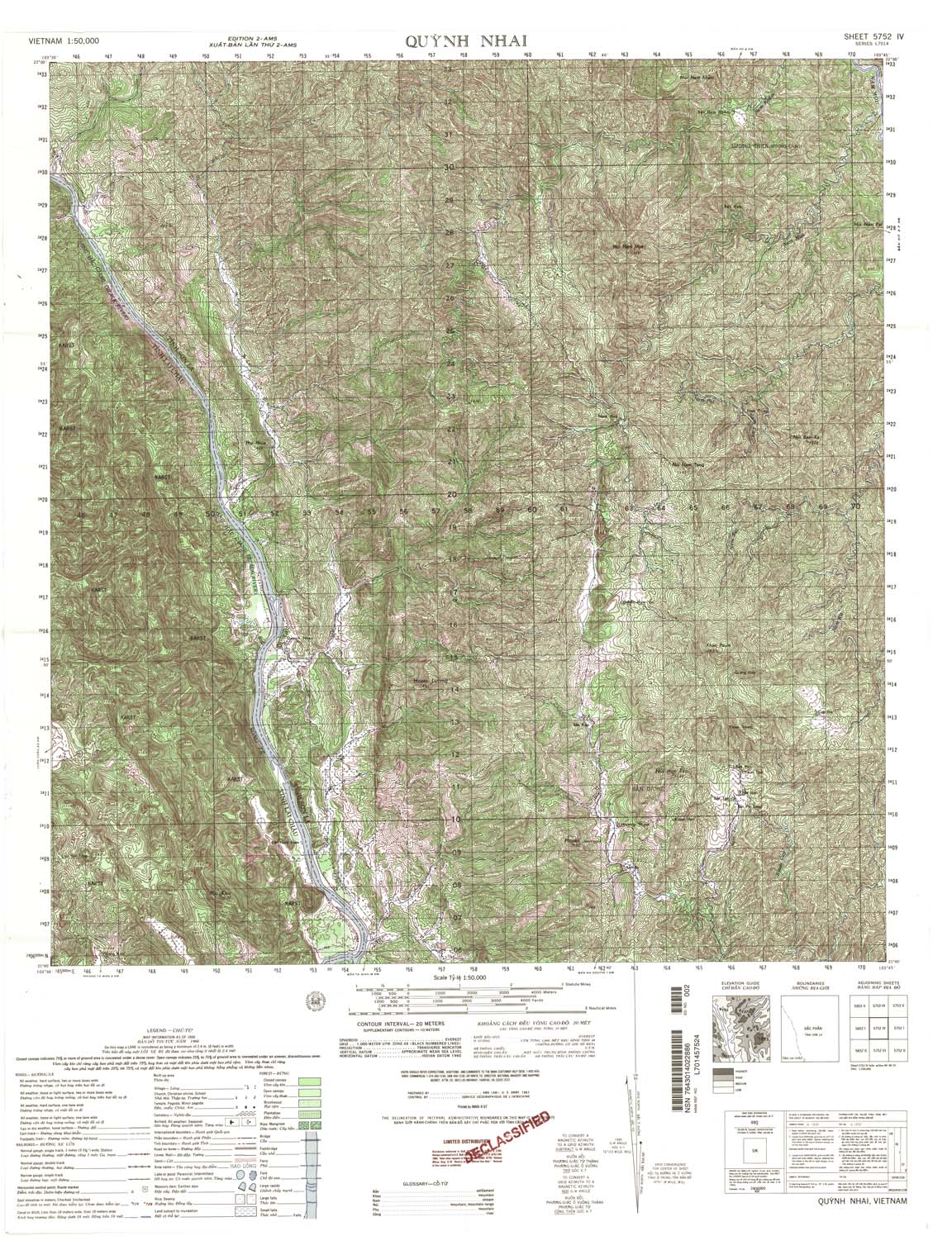
| Quynh Nhai | 5752_4 | 1966 | 20 | US Army | 5752_4.jpg | 5752_4.tif | 5752_4.zip |
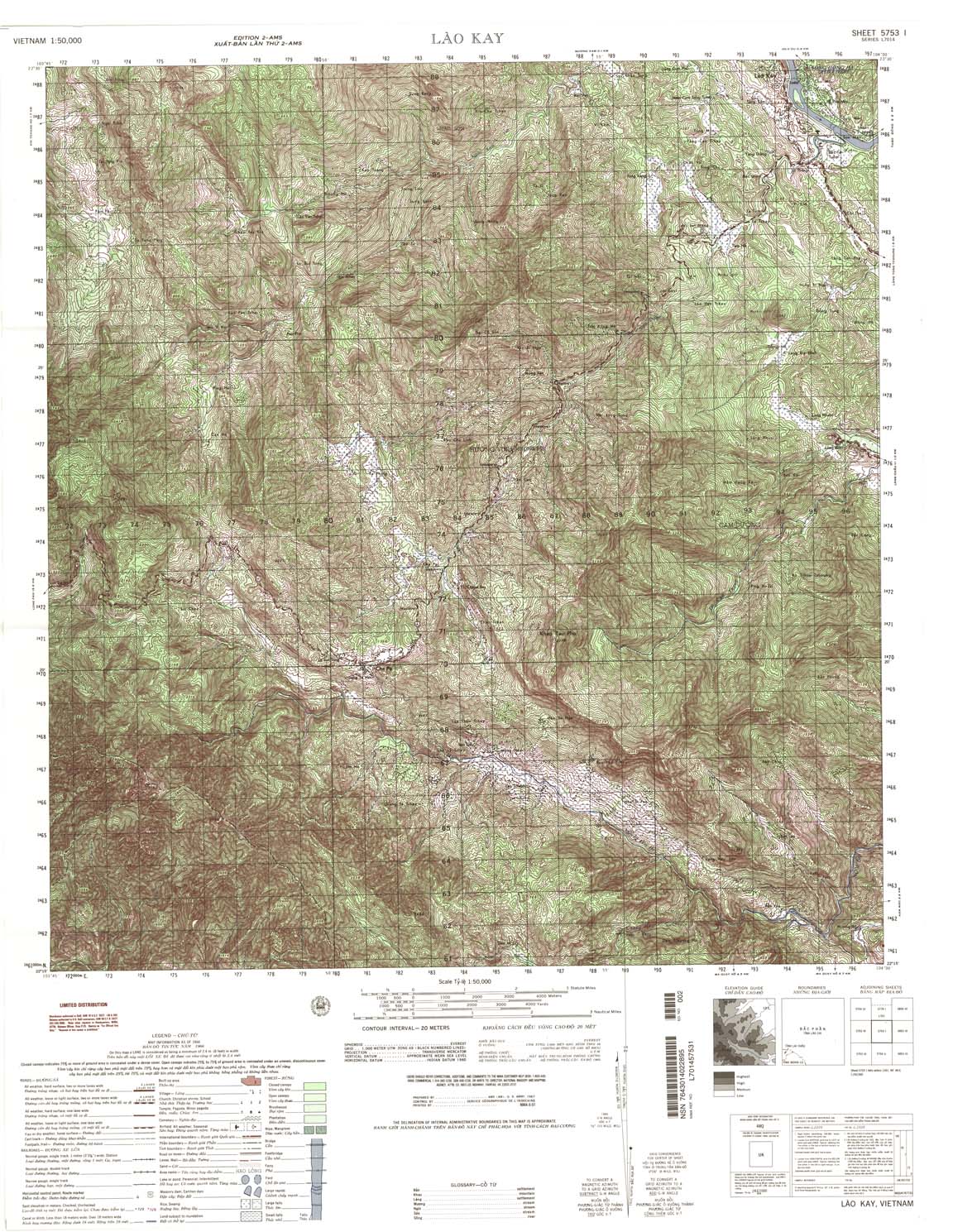
| Lao Kay | 5753_1 | 1966 | 20 | US Army | 5753_1.jpg | 5753_1.tif | 5753_1.zip |
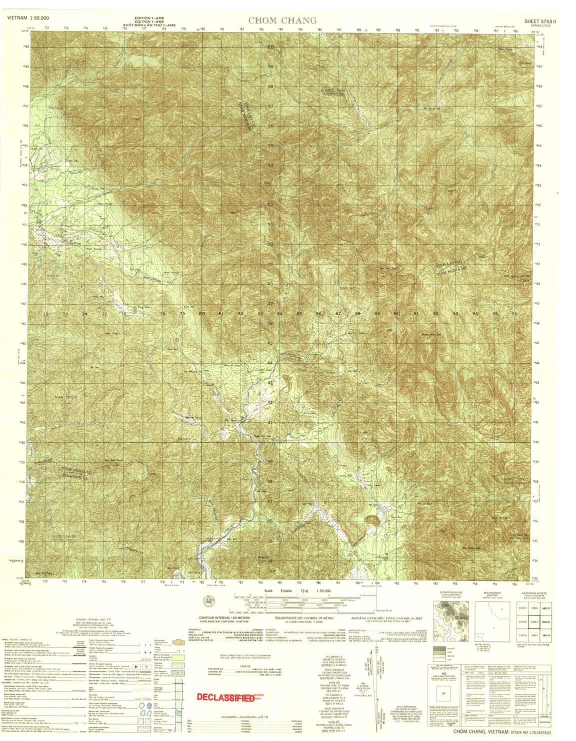
| Chom Chang | 5753_2 | 1965 | 20 | US Army | 5753_2.jpg | 5753_2.tif | 5753_2.zip |
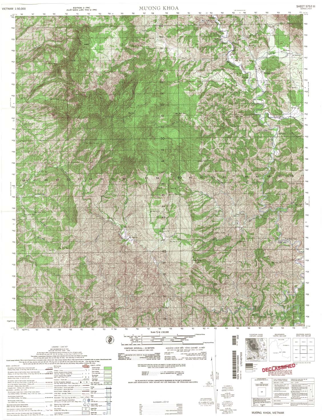
| Muong Khoa | 5753_3 | 1968 | 20 | US Army | 5753_3.jpg | 5753_3.tif | 5753_3.zip |
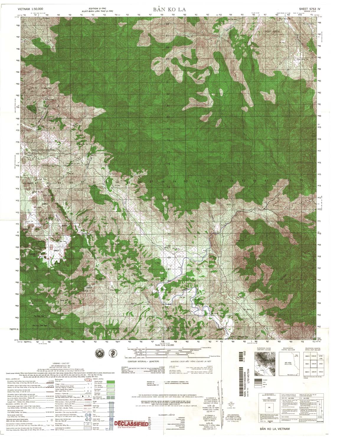
| Ban Ko La | 5753_4 | 1967 | 20 | NIMA | 5753_4.jpg | 5753_4.tif | 5753_4.zip |
| Muong Hum | 5754_3 | 1965 | 20 | NIMA | 5754_3.jpg | 5754_3.tif | 5754_3.zip |
| Krong Keb | 5829_1 | 1993 | 20 | NIMA | 5829_1.jpg | 5829_1.tif | 5829_1.zip |
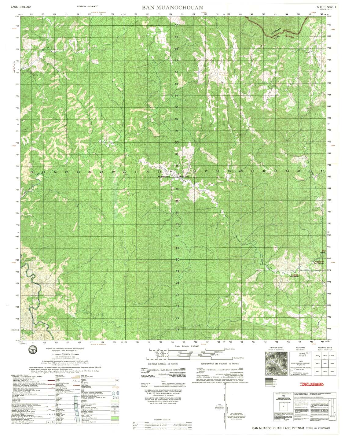
| Ban Muangchouan | 5846_1 | 1968 | 40 | DMA | 5846_1.jpg | 5846_1.tif | 5846_1.zip |
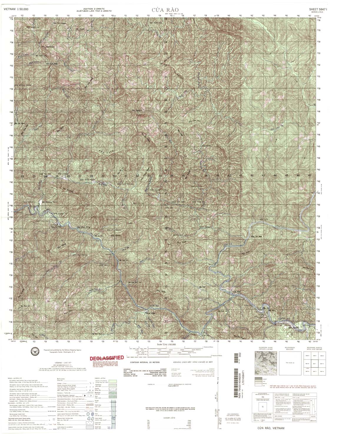
| Cua Rao | 5847_1 | 1971 | 20 | NIMA | 5847_1.jpg | 5847_1.tif | 5847_1.zip |
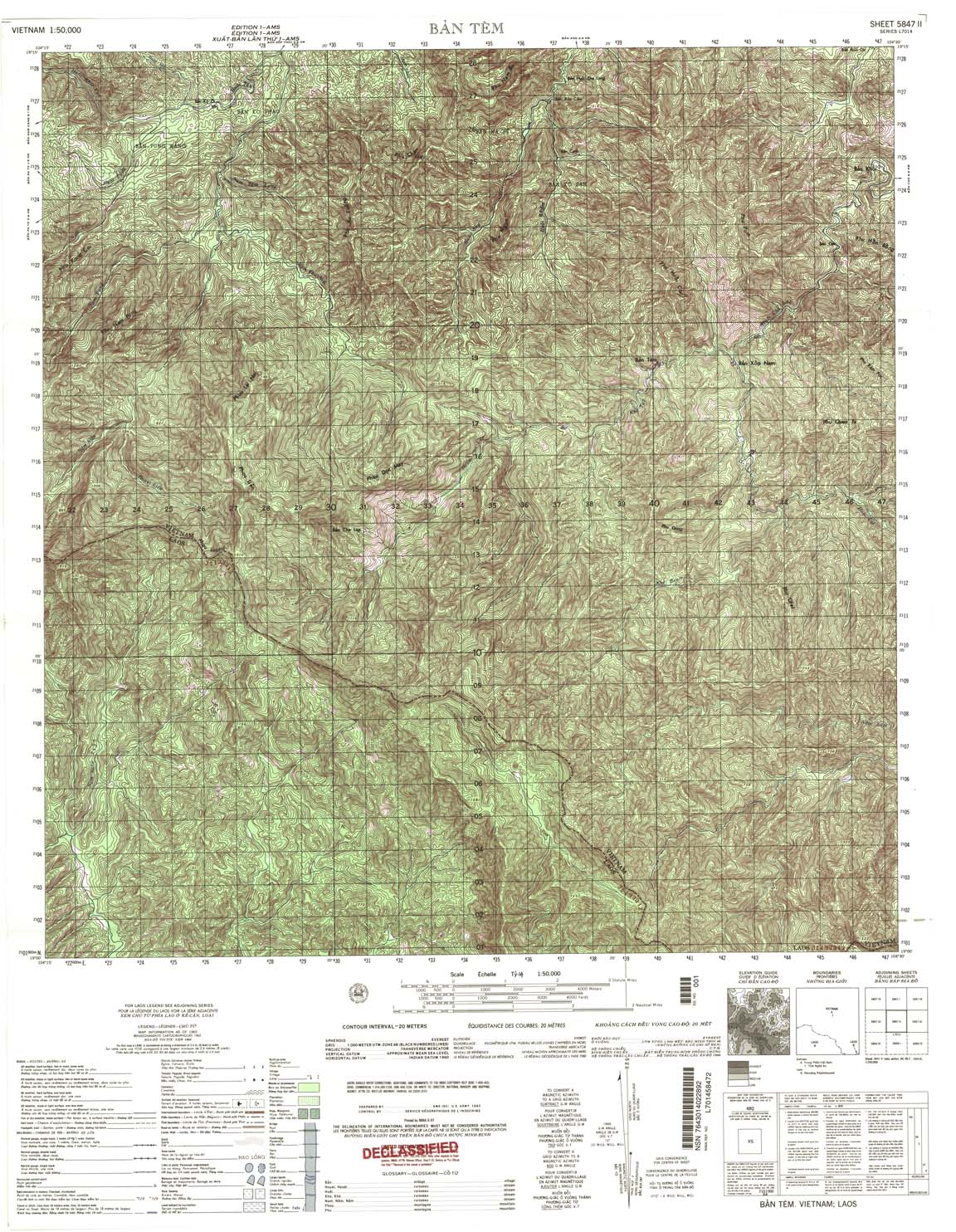
| Ban Tem | 5847_2 | 1965 | 20 | US Army | 5847_2.jpg | 5847_2.tif | 5847_2.zip |
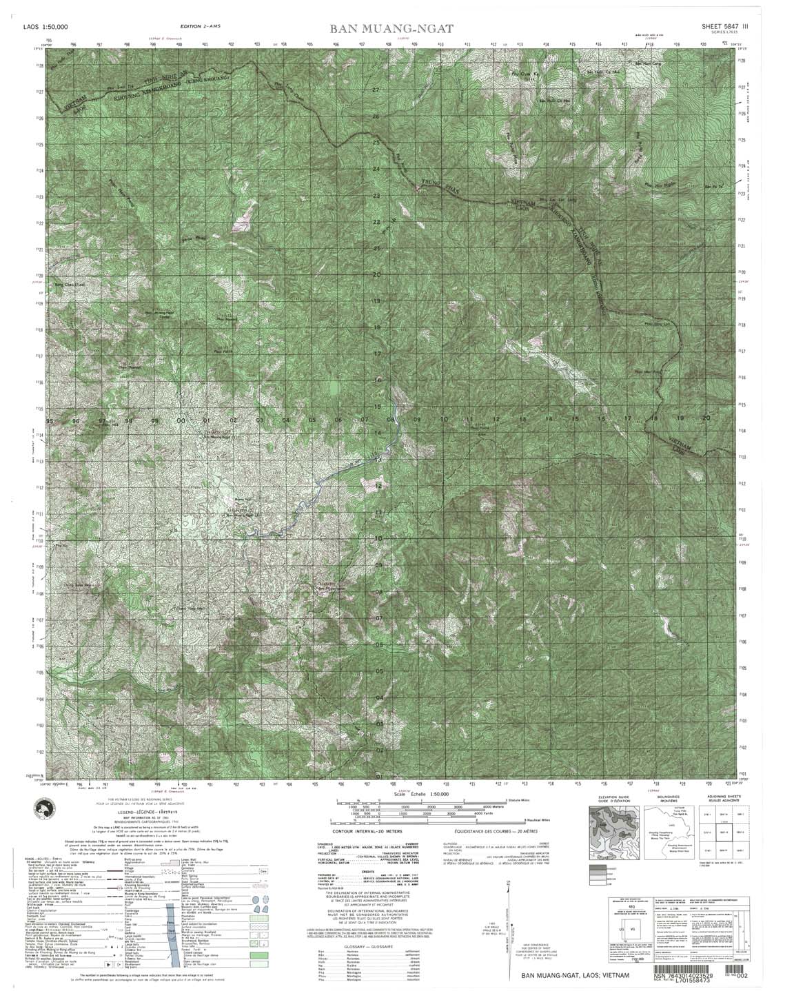
| Ban Muang Ngat | 5847_3 | 1966 | 20 | US Army | 5847_3.jpg | 5847_3.tif | 5847_3.zip |
| Muong Sen | 5847_4 | 1965 | 20 | US Army | 5847_4.jpg | 5847_4.tif | 5847_4.zip |
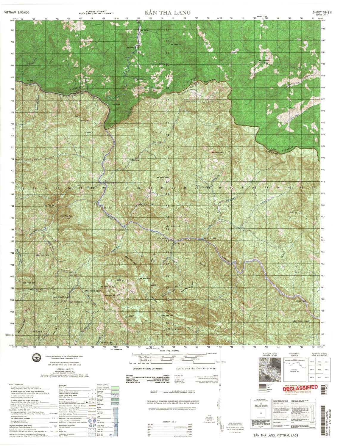
| Ban Tha Lang | 5848_2 | 1972 | 20 | DMA | 5848_2.jpg | 5848_2.tif | 5848_2.zip |
| Ban Huoi Hoe | 5848_3 | 1965 | 20 | NIMA | 5848_3.jpg | 5848_3.tif | 5848_3.zip |
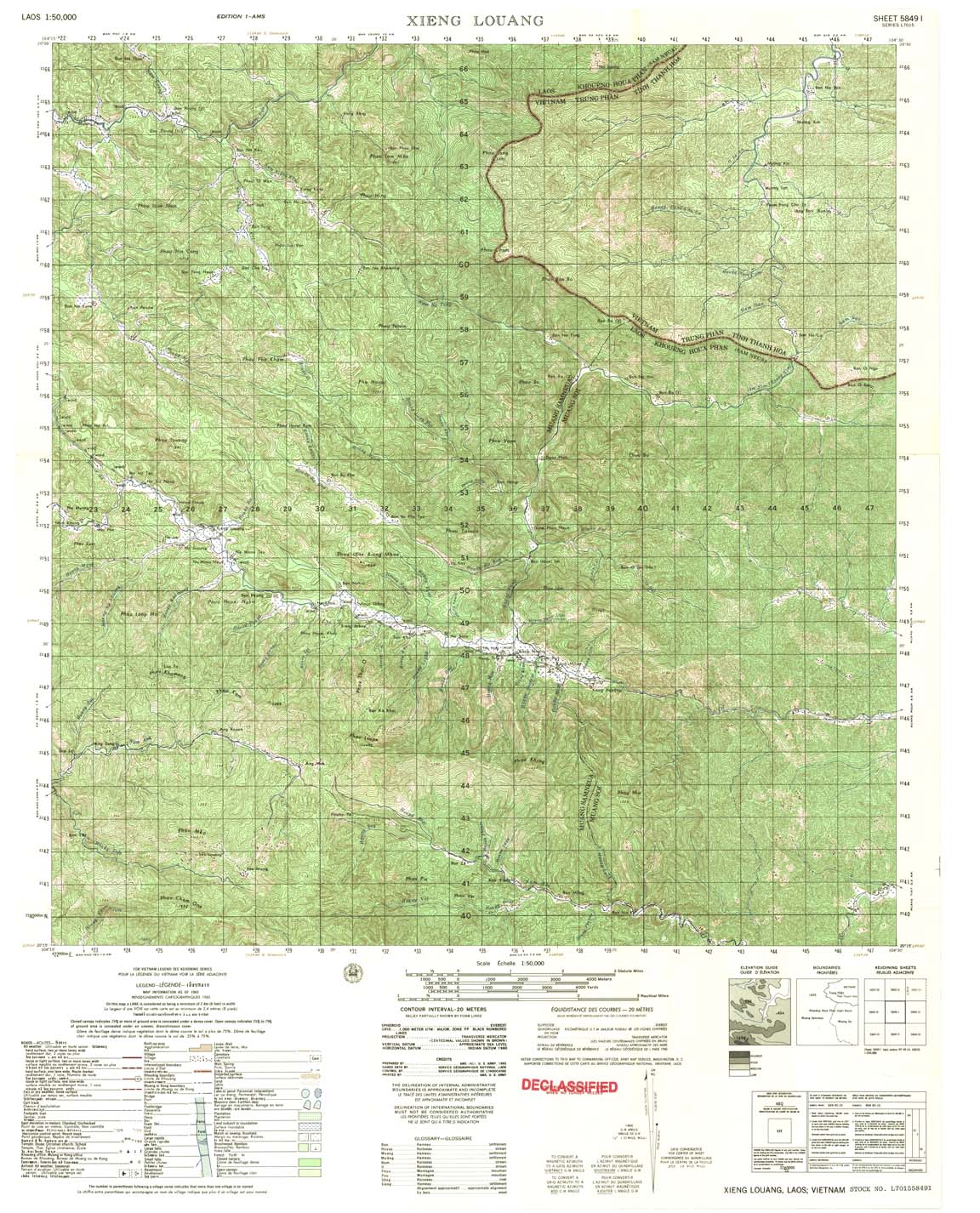
| Xieng Louang | 5849_1 | 1965 | 20 | US Army | 5849_1.jpg | 5849_1.tif | 5849_1.zip |
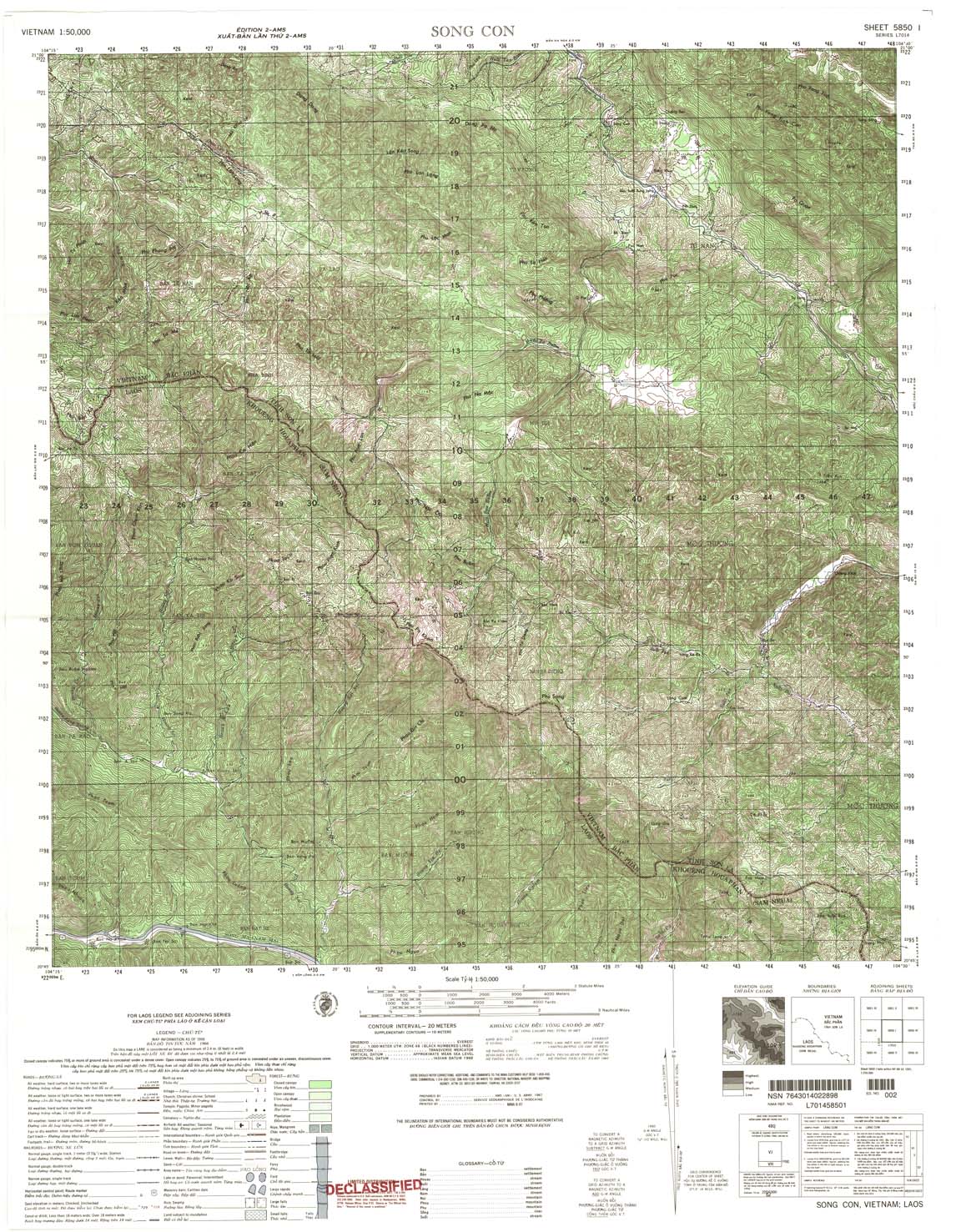
| Song Con | 5850_1 | 1966 | 20 | NIMA | 5850_1.jpg | 5850_1.tif | 5850_1.zip |
| Sop Long | 5850_2 | 1965 | 20 | US Army | 5850_2.jpg | 5850_2.tif | 5850_2.zip |
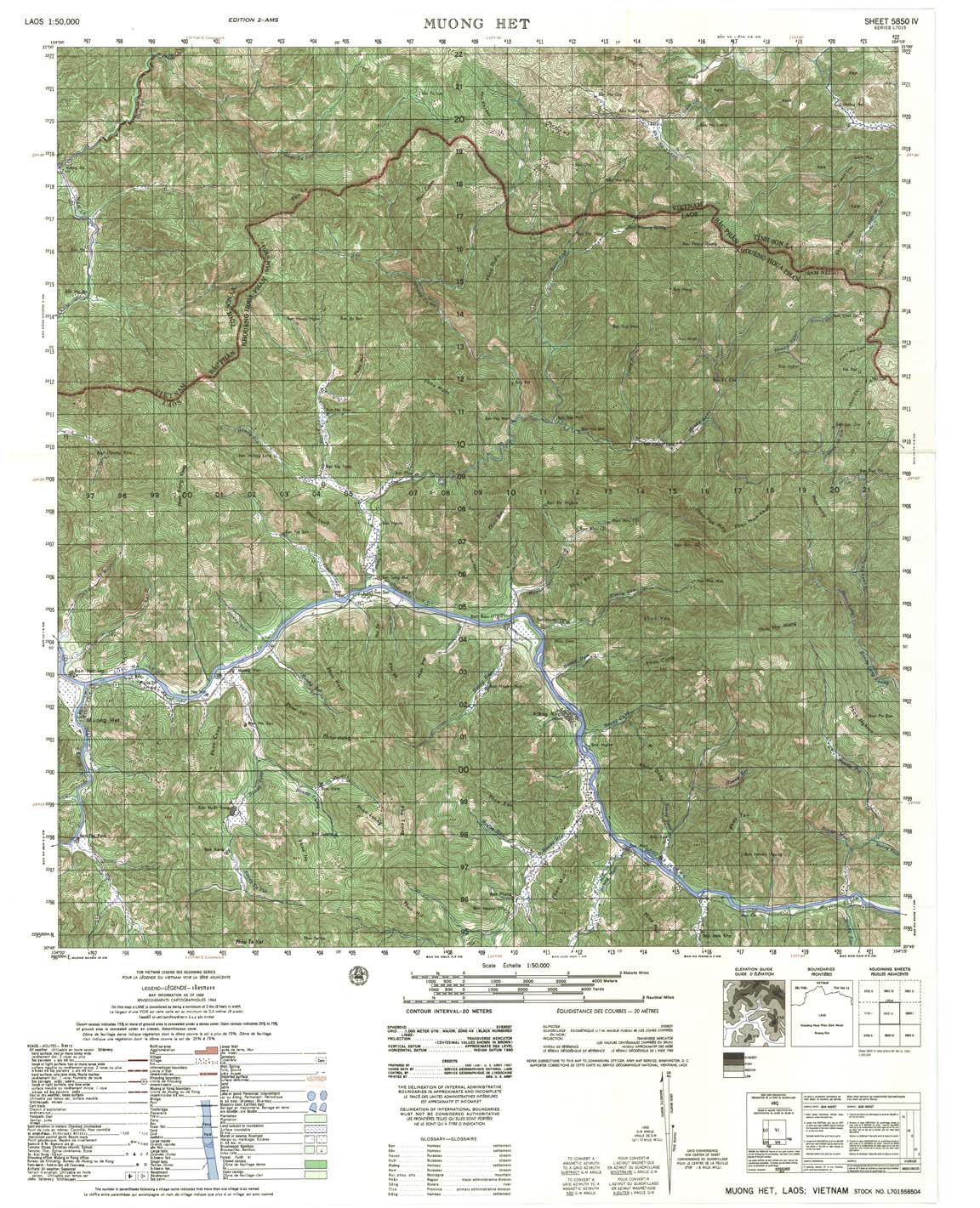
| Muong Het | 5850_4 | 1966 | 20 | US Army | 5850_4.jpg | 5850_4.tif | 5850_4.zip |
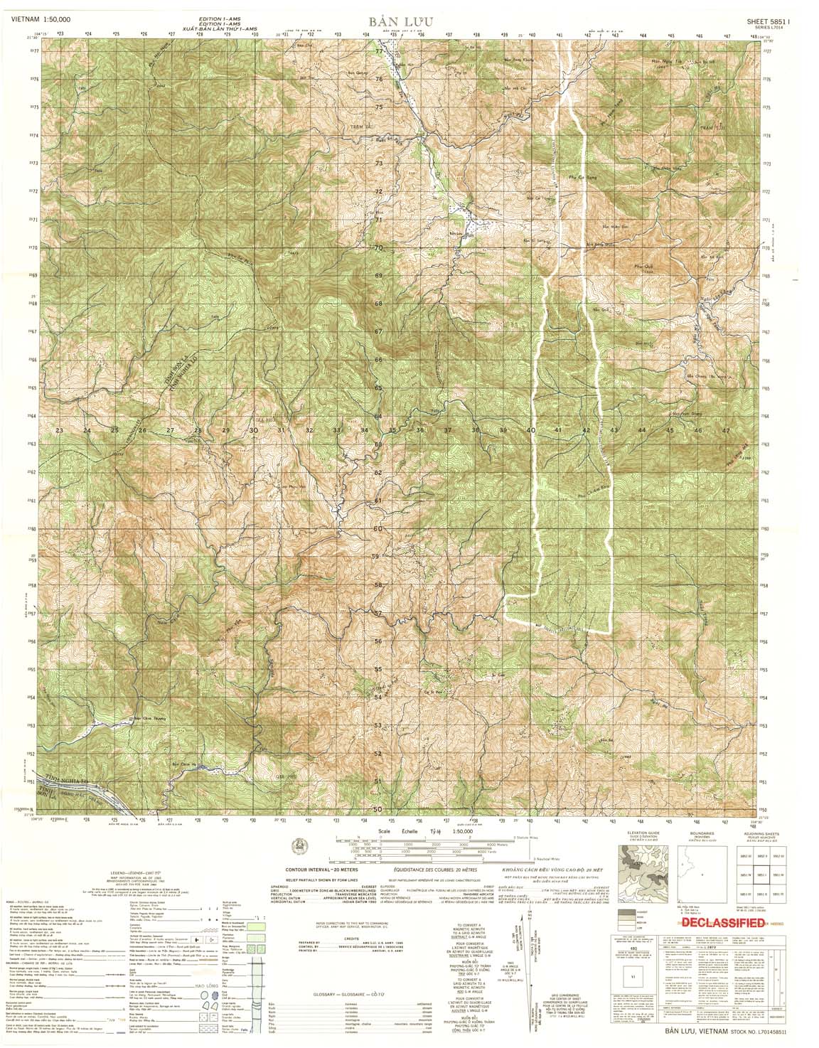
| Ban Lun | 5851_1 | 1965 | 20 | US Army | 5851_1.jpg | 5851_1.tif | 5851_1.zip |
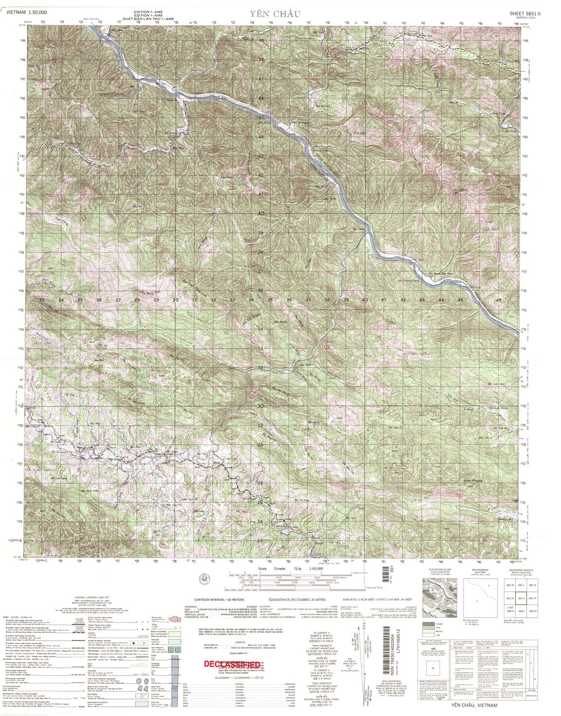
| Yen Chau | 5851_2 | 1965 | 20 | US Army | 5851_2.jpg | 5851_2.tif | 5851_2.zip |
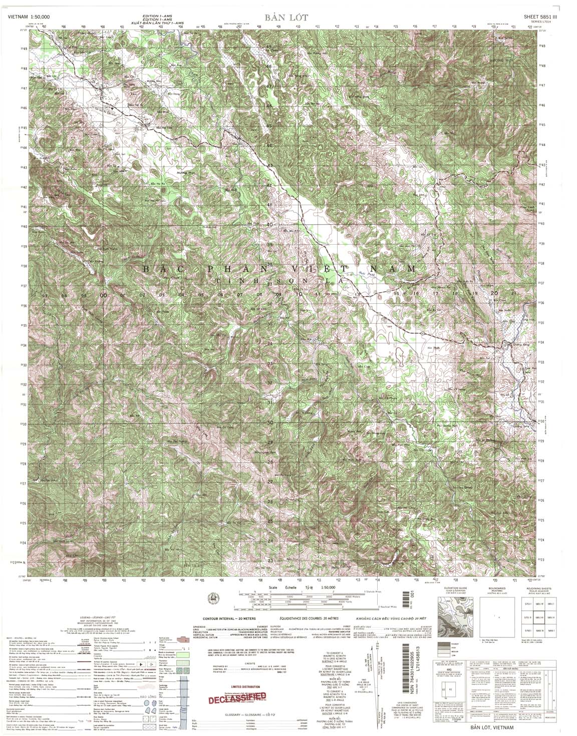
| Ban Lot | 5851_3 | 1965 | 20 | NIMA | 5851_3.jpg | 5851_3.tif | 5851_3.zip |
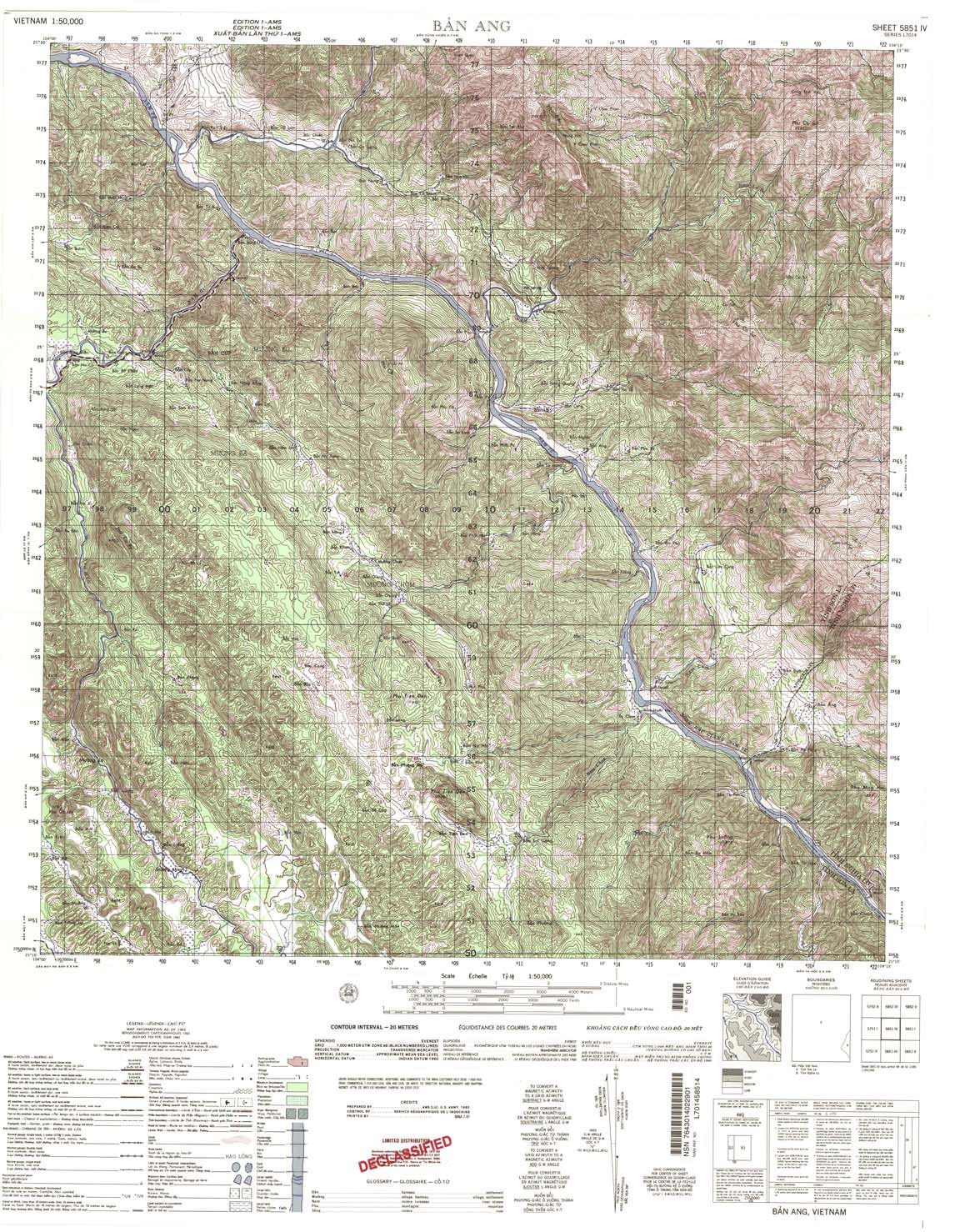
| Ban Ang | 5851_4 | 1965 | 20 | NIMA | 5851_4.jpg | 5851_4.tif | 5851_4.zip |
| Tu Le | 5852_1 | 1965 | 20 | US Army | 5852_1.jpg | 5852_1.tif | 5852_1.zip |
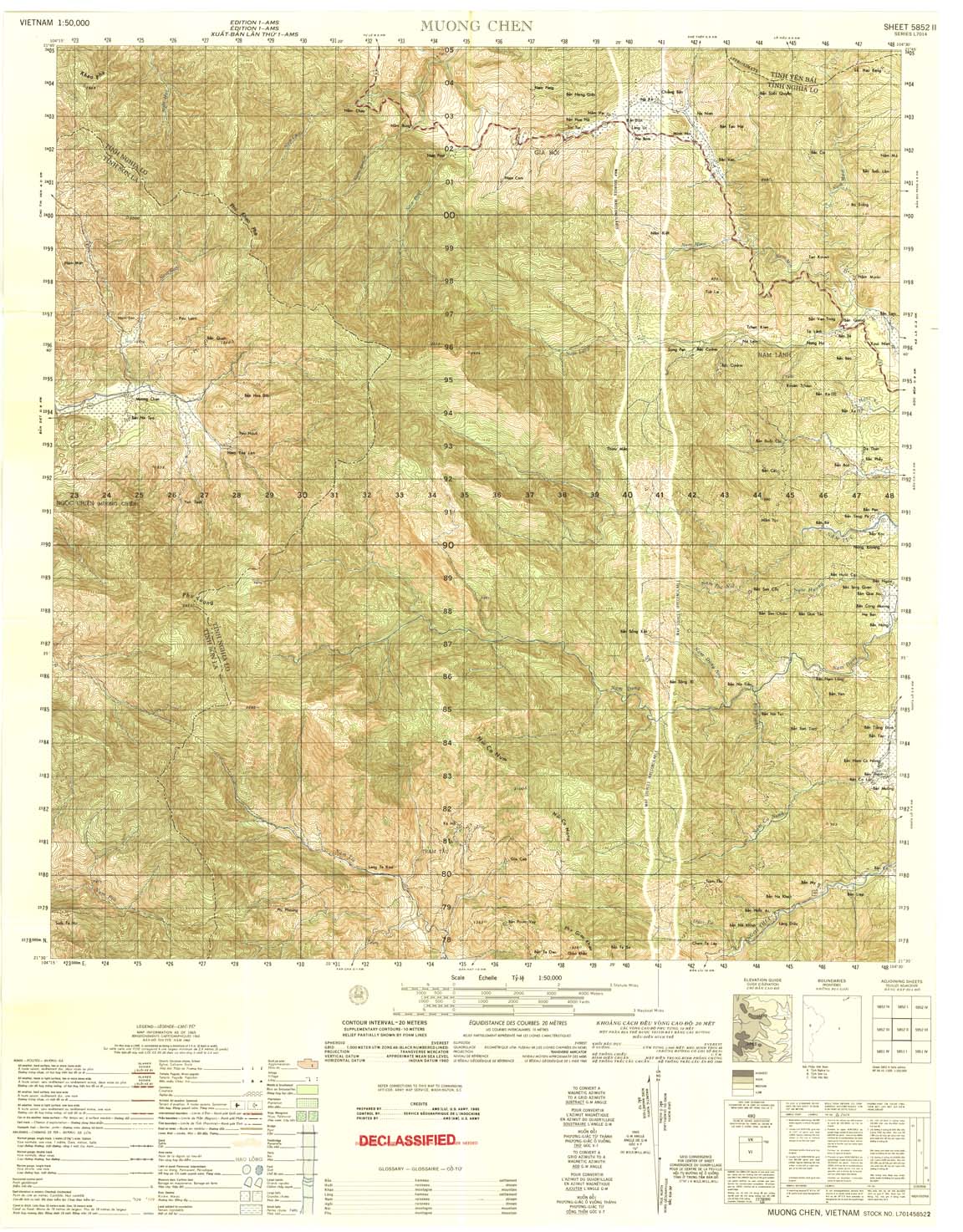
| Muong Chen | 5852_2 | 1965 | 20 | US Army | 5852_2.jpg | 5852_2.tif | 5852_2.zip |
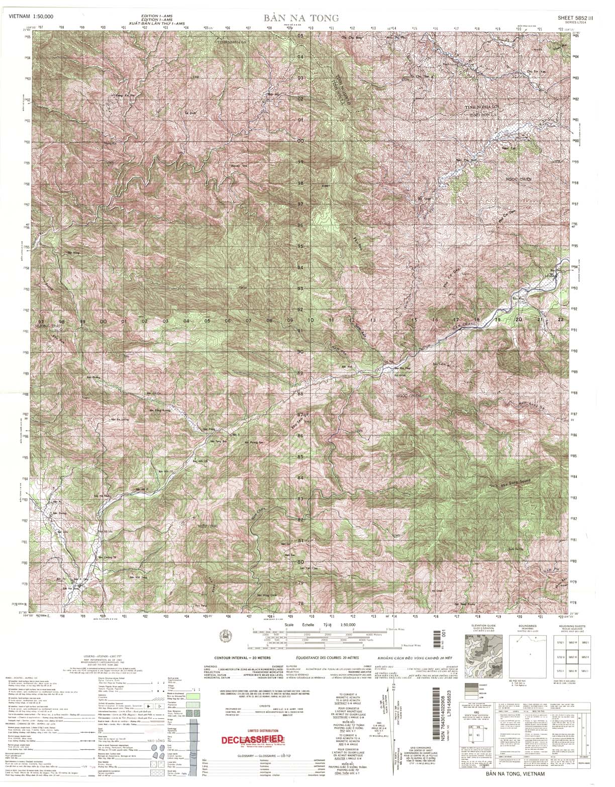
| Ban Na Tong | 5852_3 | 1965 | 20 | US Army | 5852_3.jpg | 5852_3.tif | 5852_3.zip |
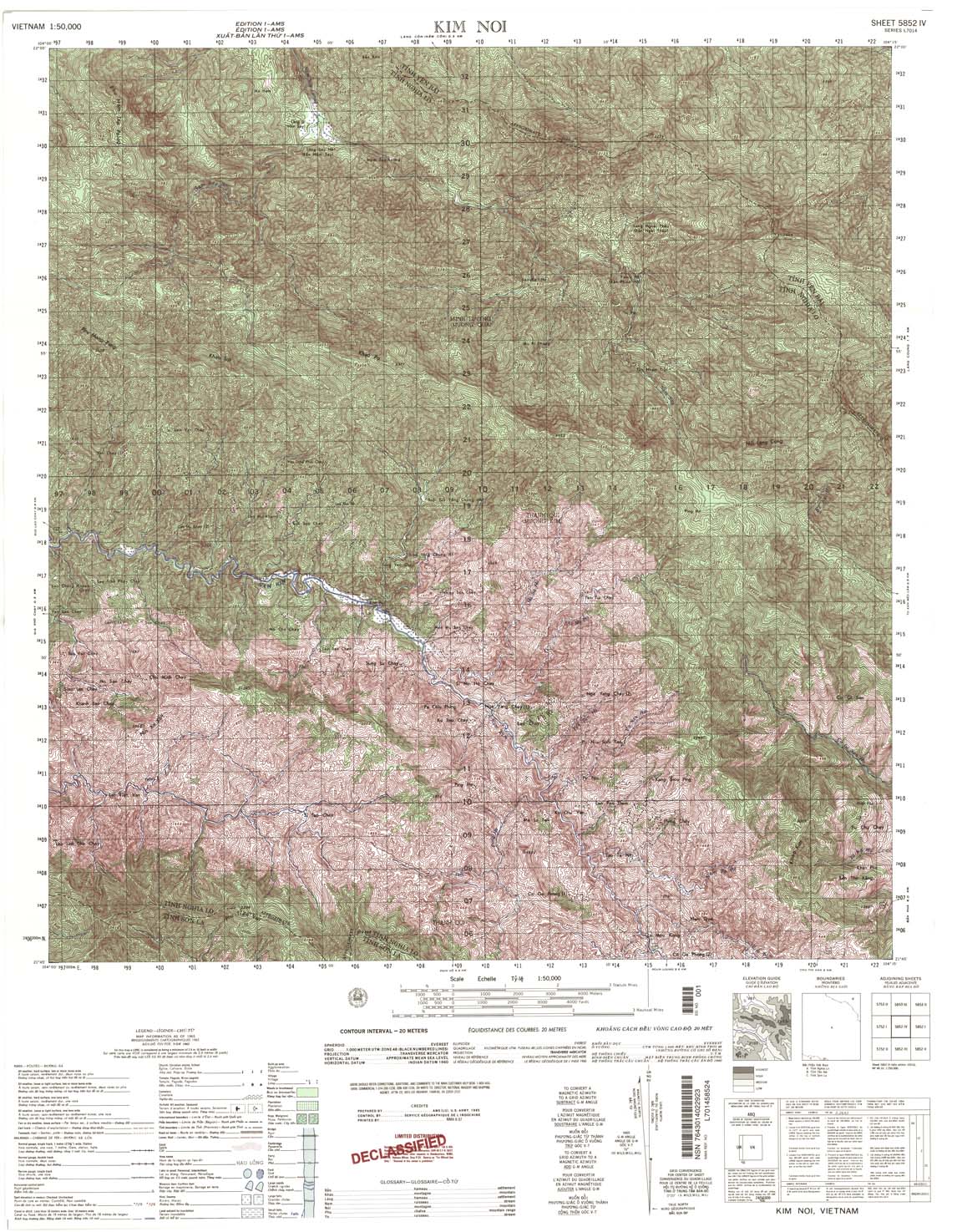
| Kim Noi | 5852_4 | 1965 | 20 | NIMA | 5852_4.jpg | 5852_4.tif | 5852_4.zip |
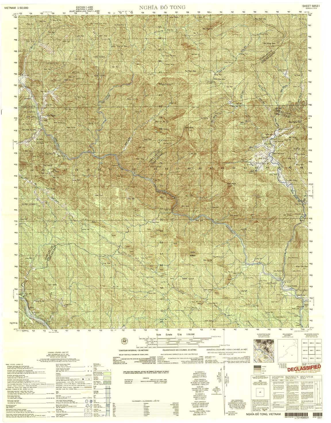
| Nghia Do Tong | 5853_1 | 1965 | 20 | US Army | 5853_1.jpg | 5853_1.tif | 5853_1.zip |
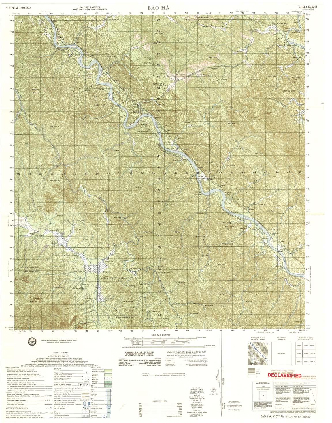
| Bao Ha | 5853_2 | 1971 | 20 | DMA | 5853_2.jpg | 5853_2.tif | 5853_2.zip |
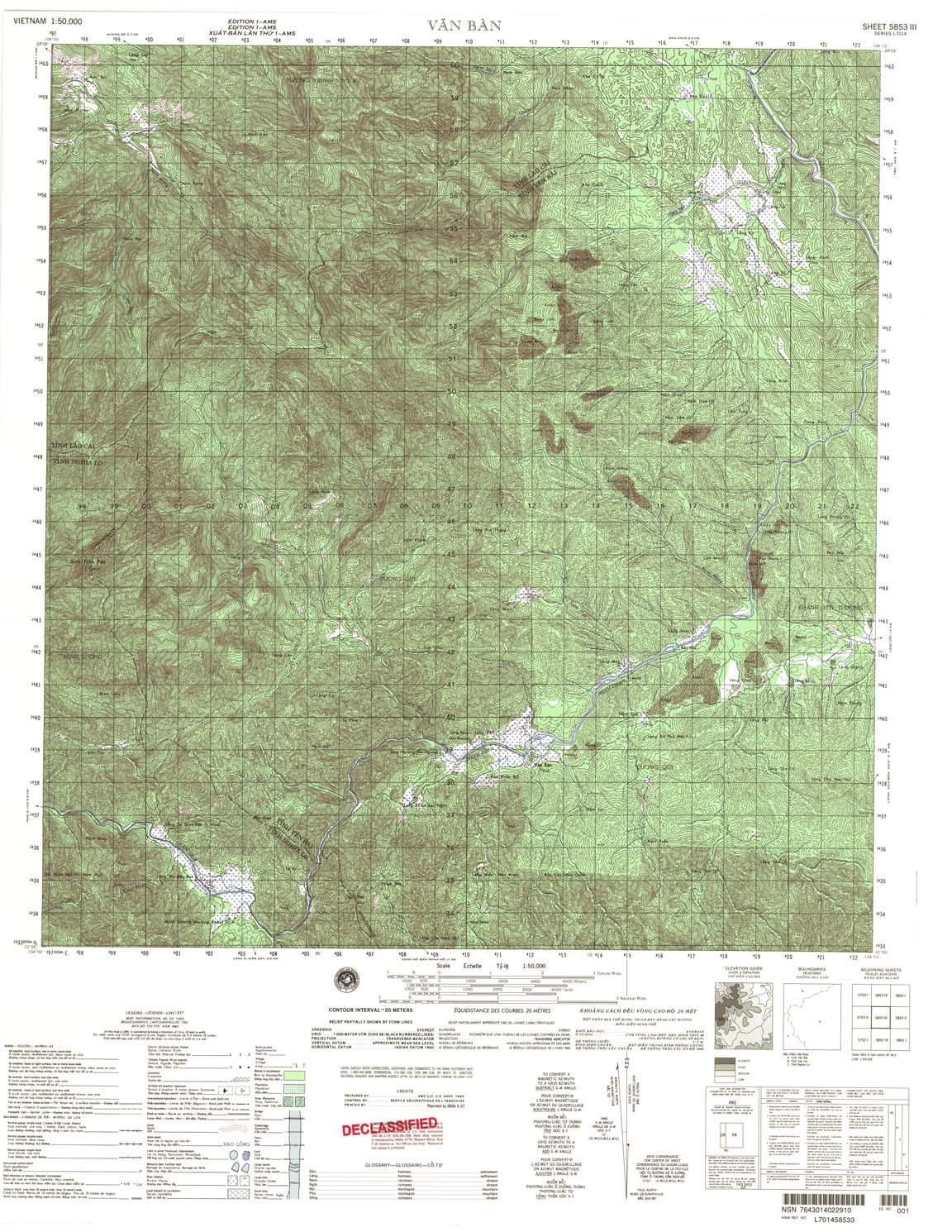
| Van Ban | 5853_3 | 1965 | 20 | NIMA | 5853_3.jpg | 5853_3.tif | 5853_3.zip |
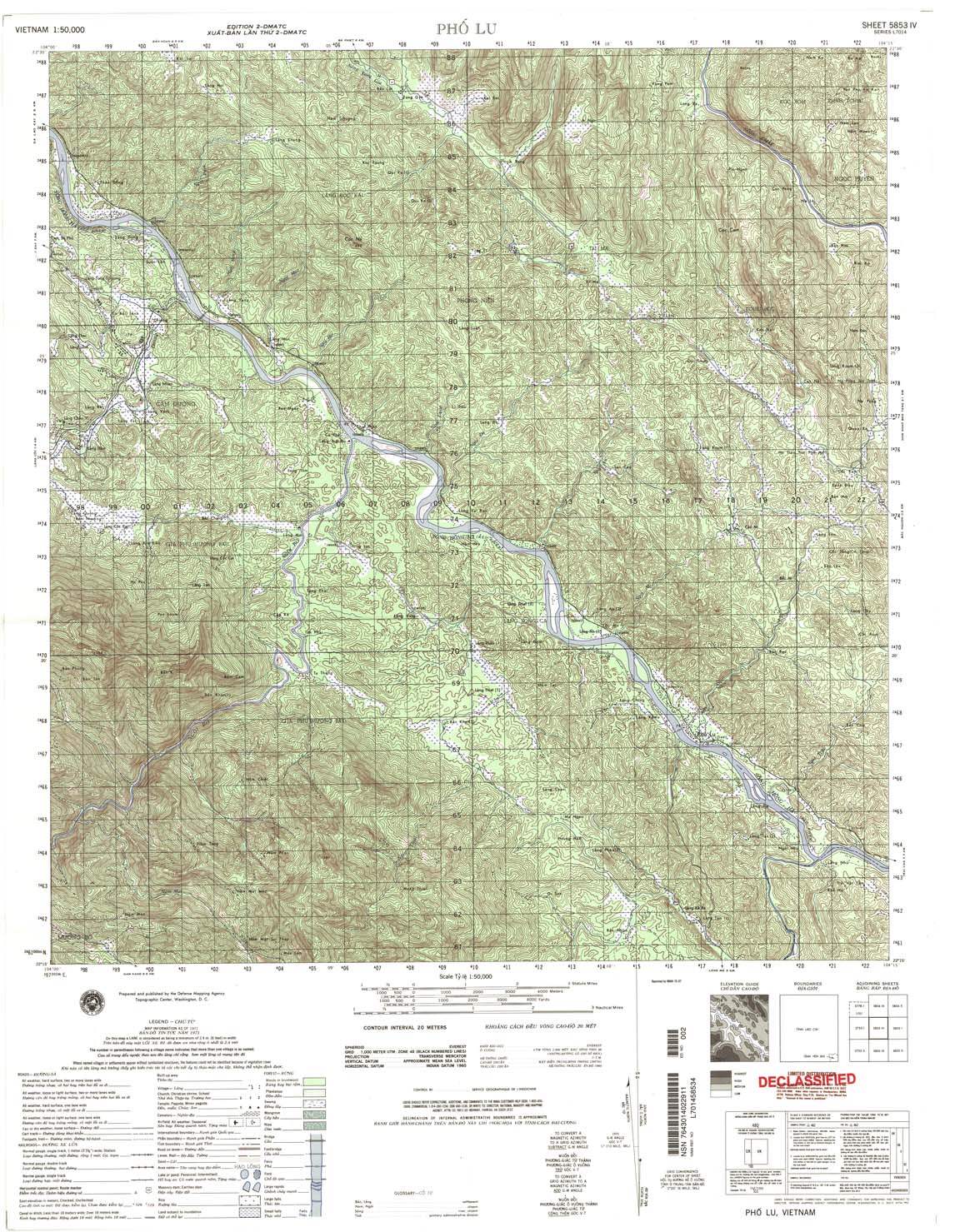
| Pho Lu | 5853_4 | 1971 | 20 | NIMA | 5853_4.jpg | 5853_4.tif | 5853_4.zip |
| Pa Kha | 5854_2 | 1965 | 20 | NIMA | 5854_2.jpg | 5854_2.tif | 5854_2.zip |
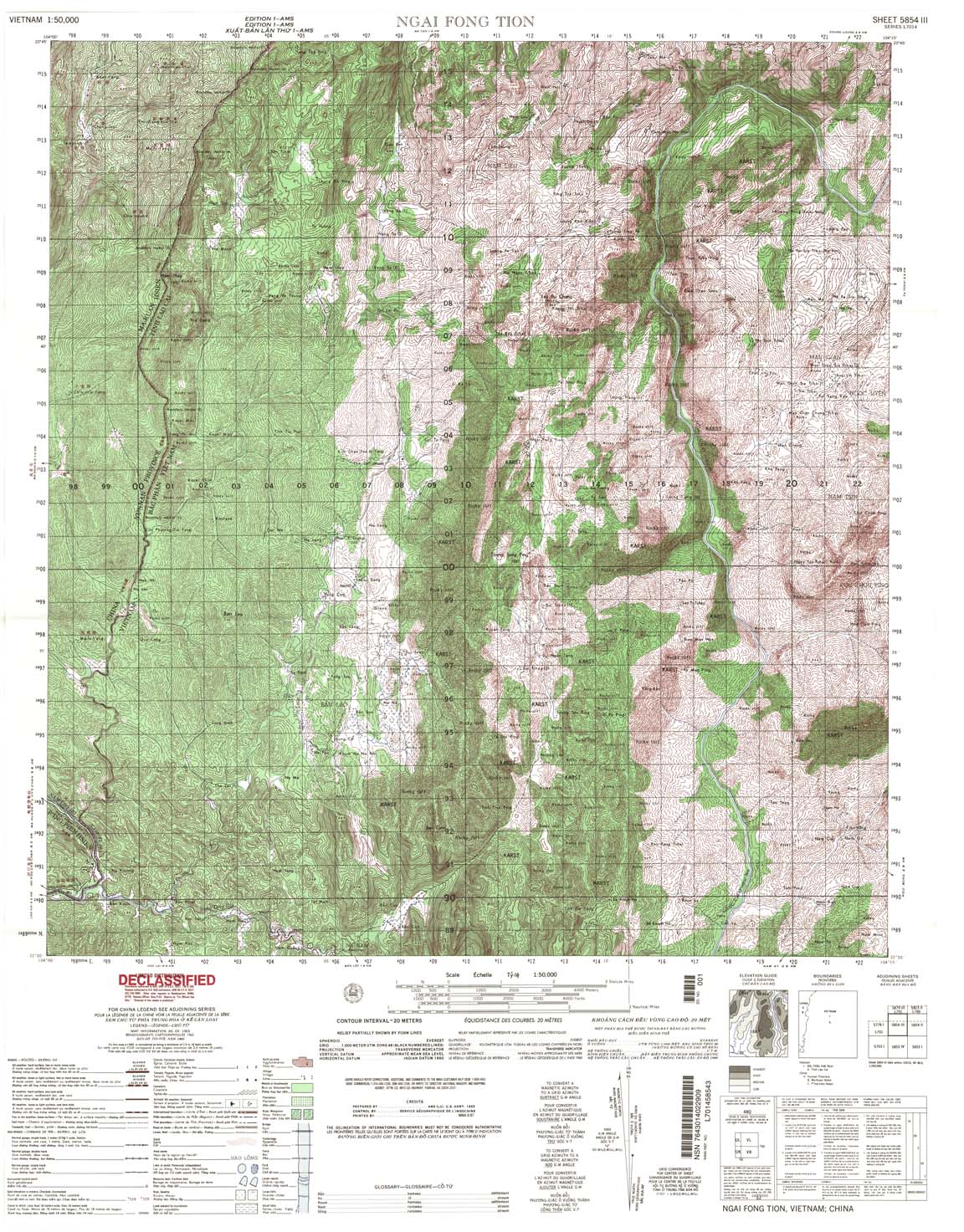
| Ngai Fong Tion | 5854_3 | 1965 | 20 | NIMA | 5854_3.jpg | 5854_3.tif | 5854_3.zip |
| Nam Can | 5926_1 | 1965 | NIMA | 5926_1.jpg | 5926_1.tif | 5926_1.zip | |
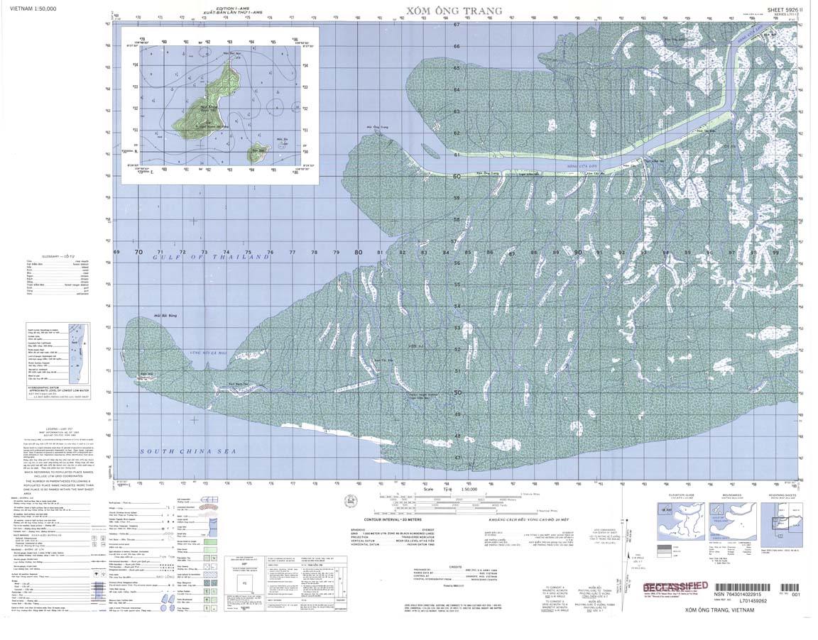
| Xom Ong Trang | 5926_2 | 1965 | 20 | US Army | 5926_2.jpg | 5926_2.tif | 5926_2.zip |
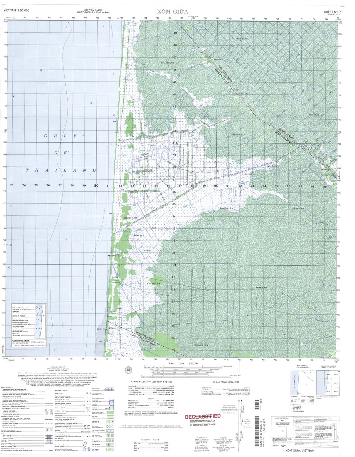
| Xom Giua | 5927_1 | 1965 | NIMA | 5927_1.jpg | 5927_1.tif | 5927_1.zip | |
| Song Ong Doc | 5927_2 | 1965 | 5 | NIMA | 5927_2.jpg | 5927_2.tif | 5927_2.zip |
| Dong Thai | 5928_1 | 1965 | 20 | NIMA | 5928_1.jpg | 5928_1.tif | 5928_1.zip |
| Dong Hung | 5928_2 | 1965 | NIMA | 5928_2.jpg | 5928_2.tif | 5928_2.zip | |
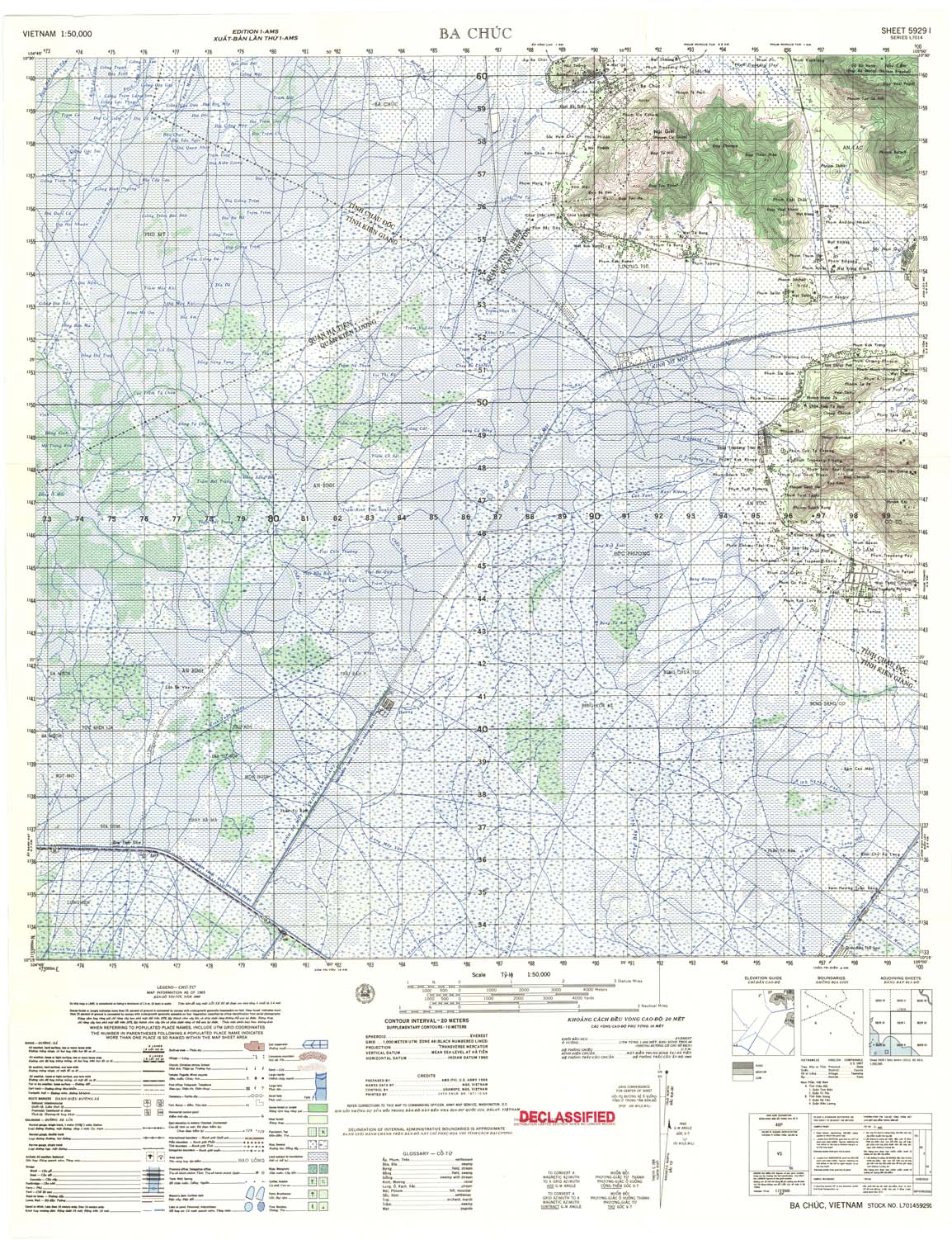
| Ba Chuc | 5929_1 | 1965 | 20 | US Army | 5929_1.jpg | 5929_1.tif | 5929_1.zip |
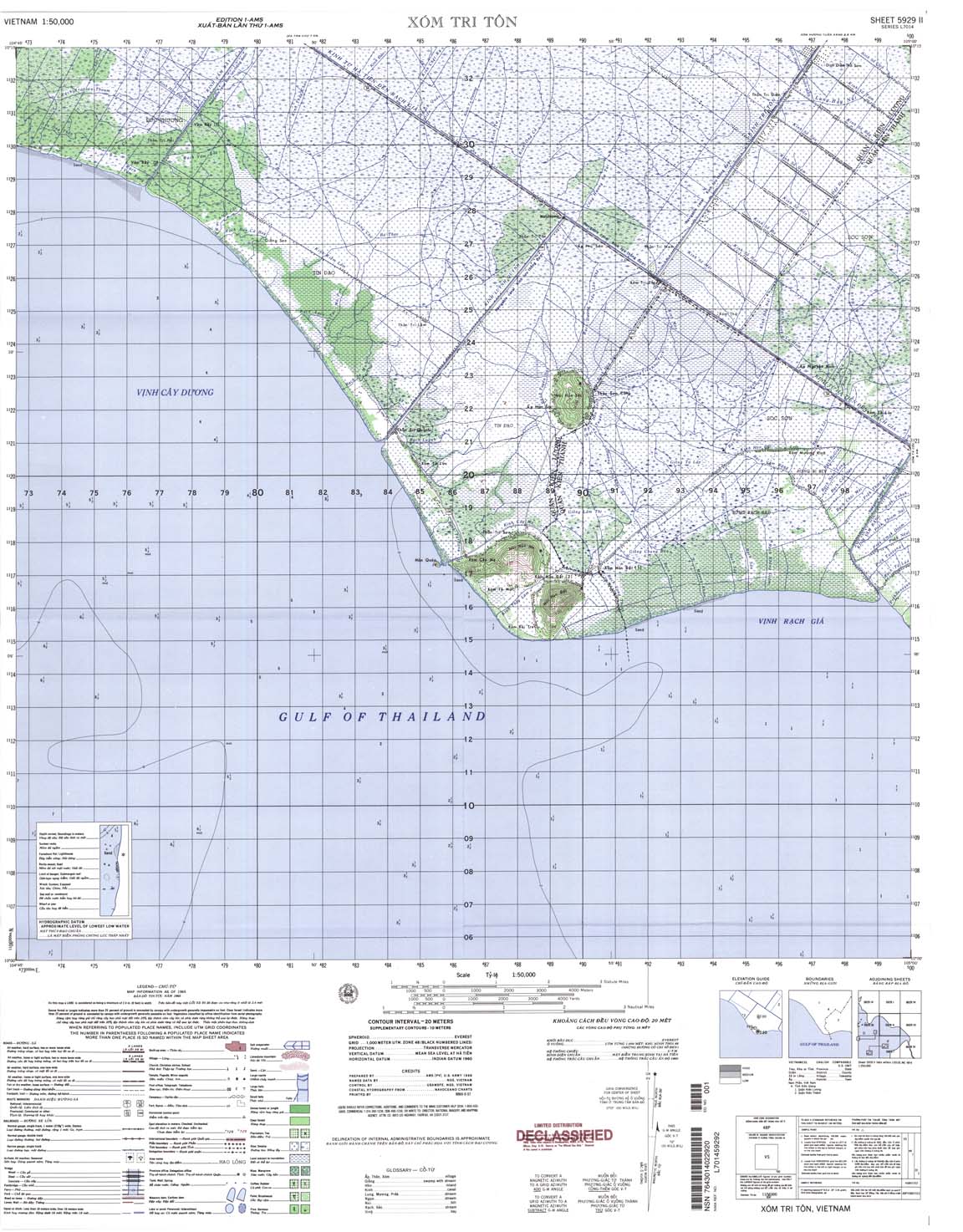
| Xom Tri Ton | 5929_2 | 1965 | 20 | NIMA | 5929_2.jpg | 5929_2.tif | 5929_2.zip |
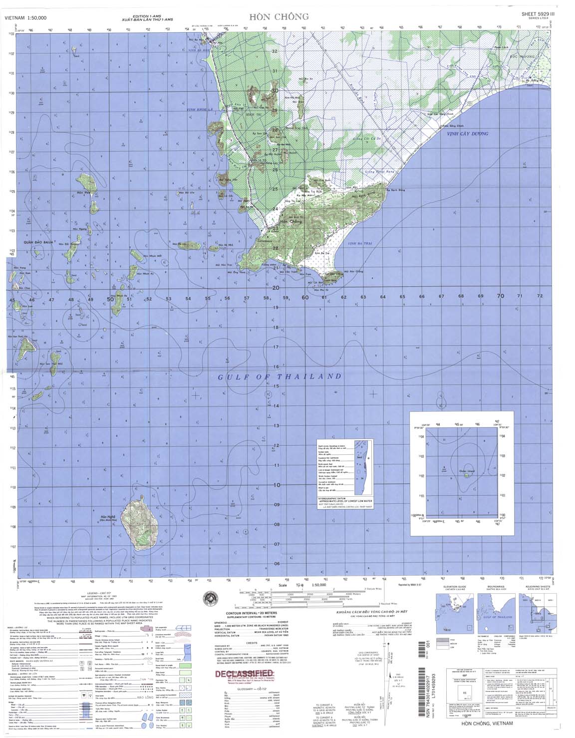
| Hon Chong | 5929_3 | 1965 | 20 | NIMA | 5929_3.jpg | 5929_3.tif | 5929_3.zip |
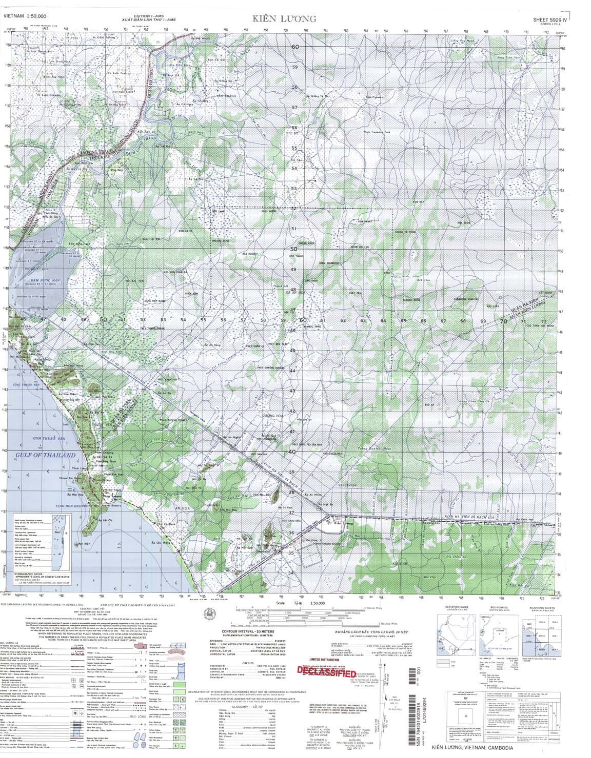
| Kien Luong | 5929_4 | 1965 | 20 | NIMA | 5929_4.jpg | 5929_4.tif | 5929_4.zip |
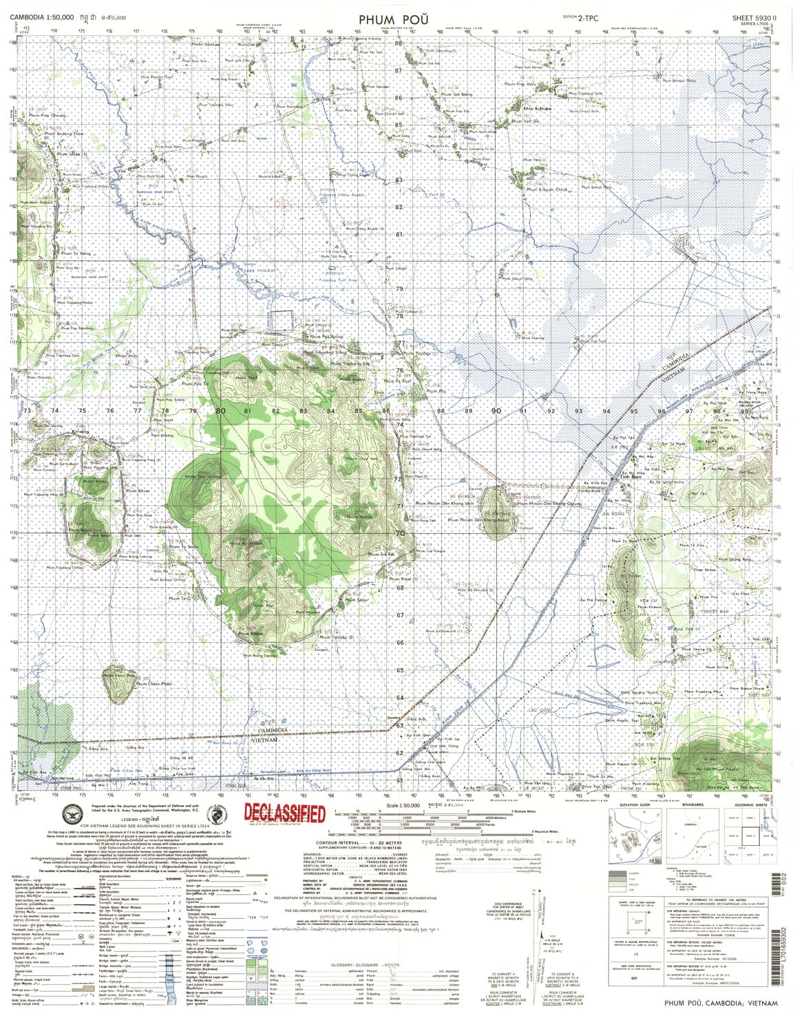
| Phum Pou | 5930_2 | 20-Oct | US Army | 5930_2.jpg | 5930_2.tif | 5930_2.zip | |
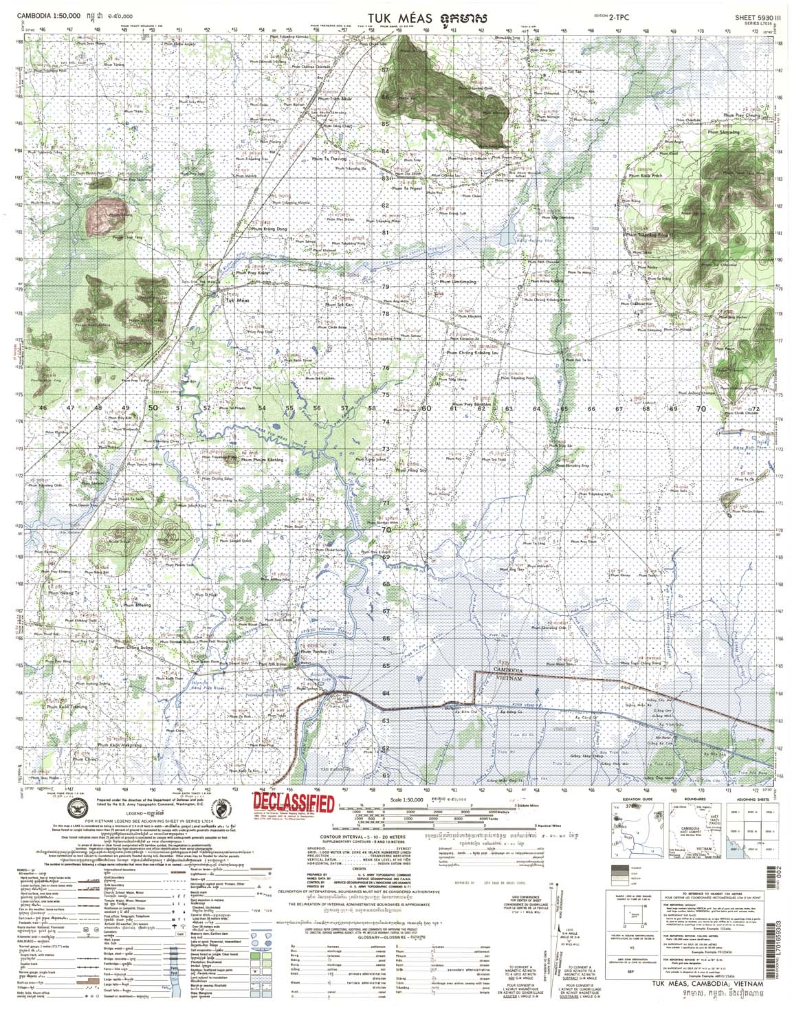
| Tuk Meas | 5930_3 | 5 | US Army | 5930_3.jpg | 5930_3.tif | 5930_3.zip | |
| Ban Tai | 5946_1 | 1965 | 20 | US Army | 5946_1.jpg | 5946_1.tif | 5946_1.zip |
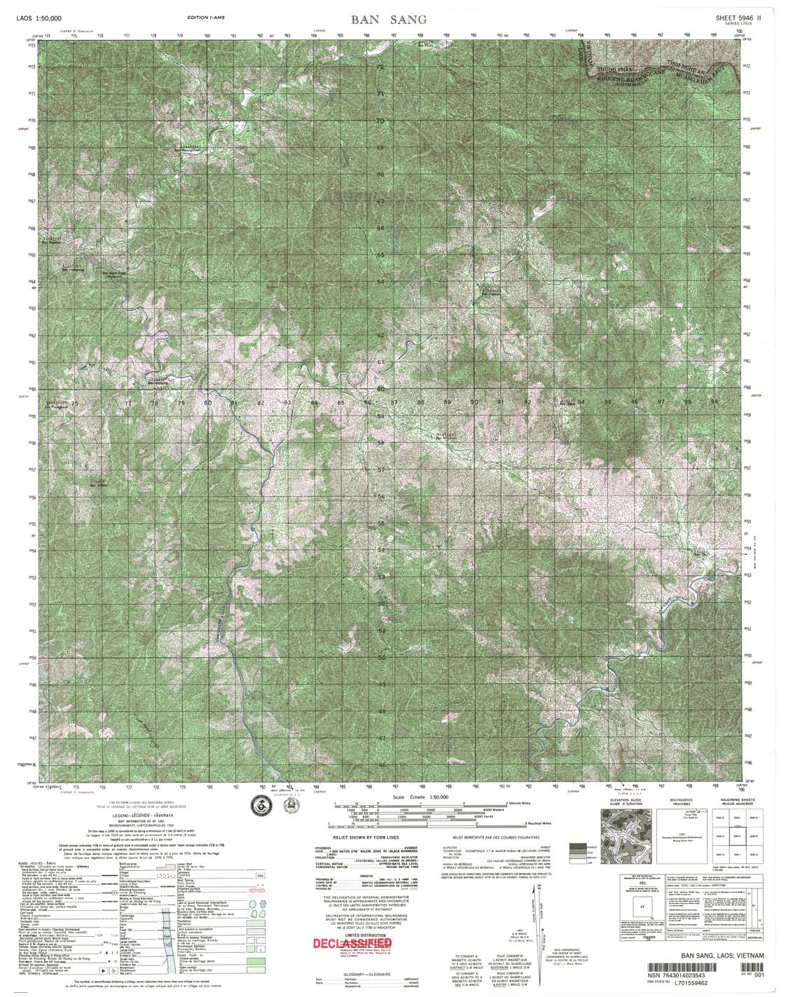
| Ban Sang | 5946_2 | 1965 | DMA | 5946_2.jpg | 5946_2.tif | 5946_2.zip | |
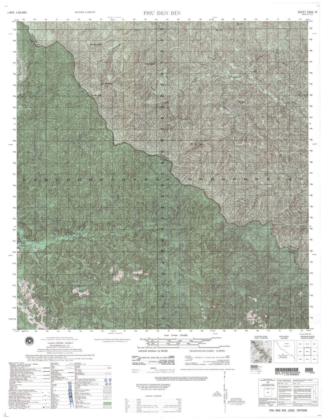
| Phu Den Din | 5946_4 | 1972 | 20 | DMA | 5946_4.jpg | 5946_4.tif | 5946_4.zip |
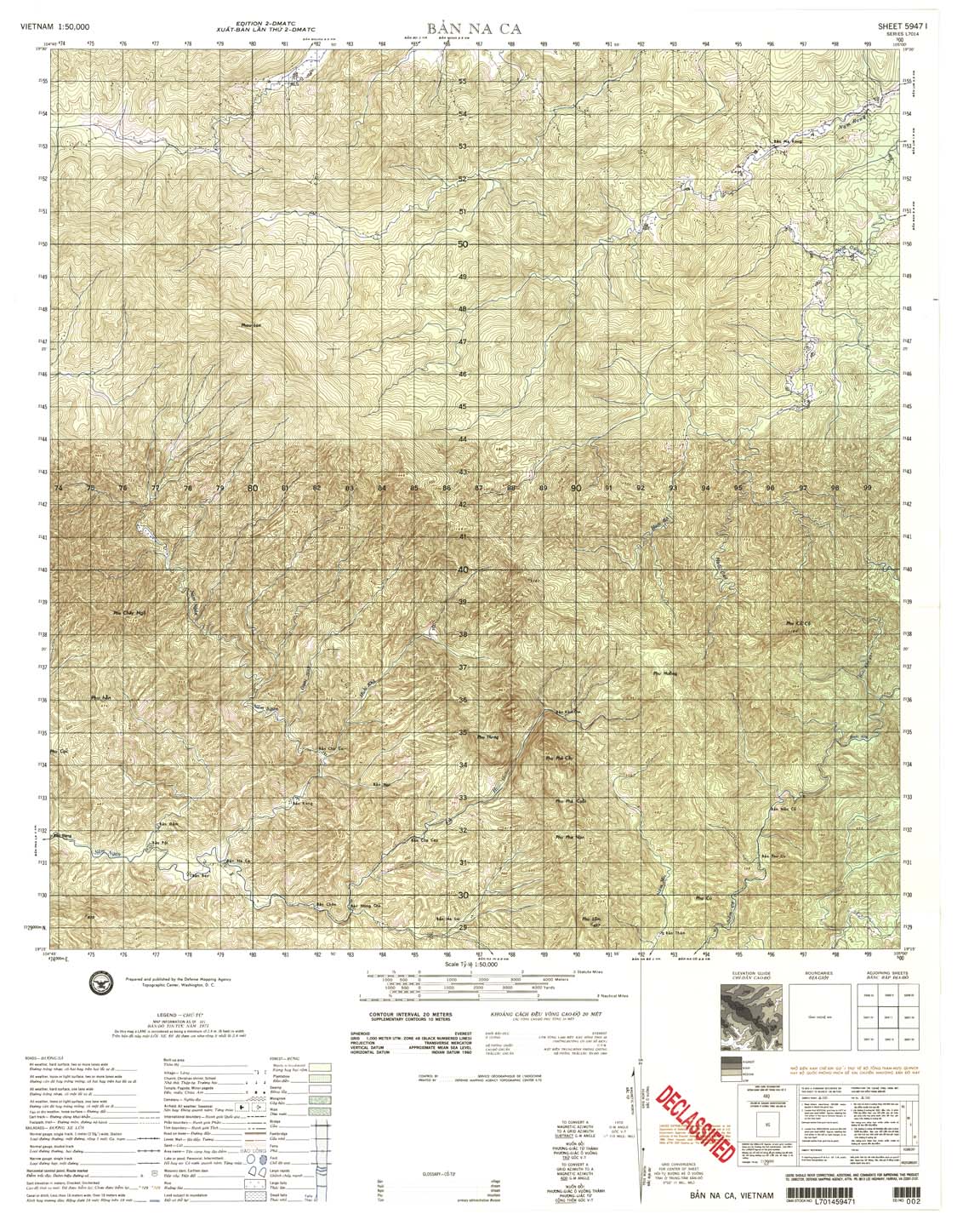
| Ban Na Ca | 5947_1 | 1971 | 20 | DMA | 5947_1.jpg | 5947_1.tif | 5947_1.zip |
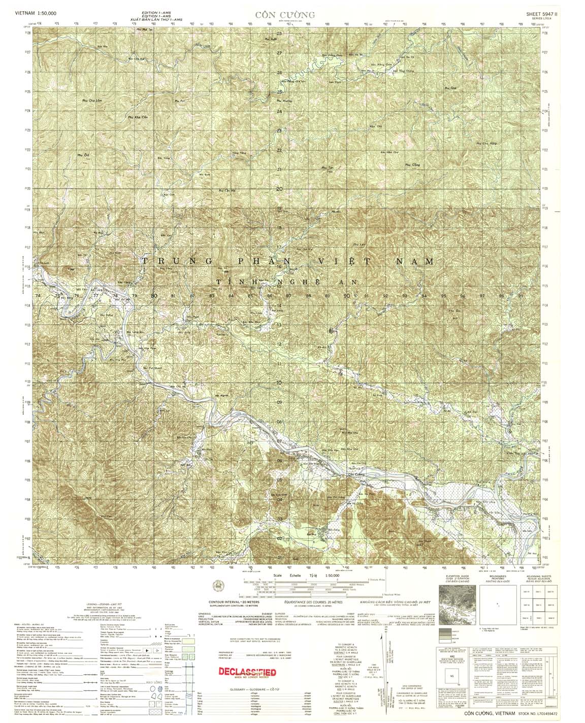
| Con Cuong | 5947_2 | 1965 | 20 | US Army | 5947_2.jpg | 5947_2.tif | 5947_2.zip |
| Khe Bo | 5947_3 | 1965 | 20 | NIMA | 5947_3.jpg | 5947_3.tif | 5947_3.zip |
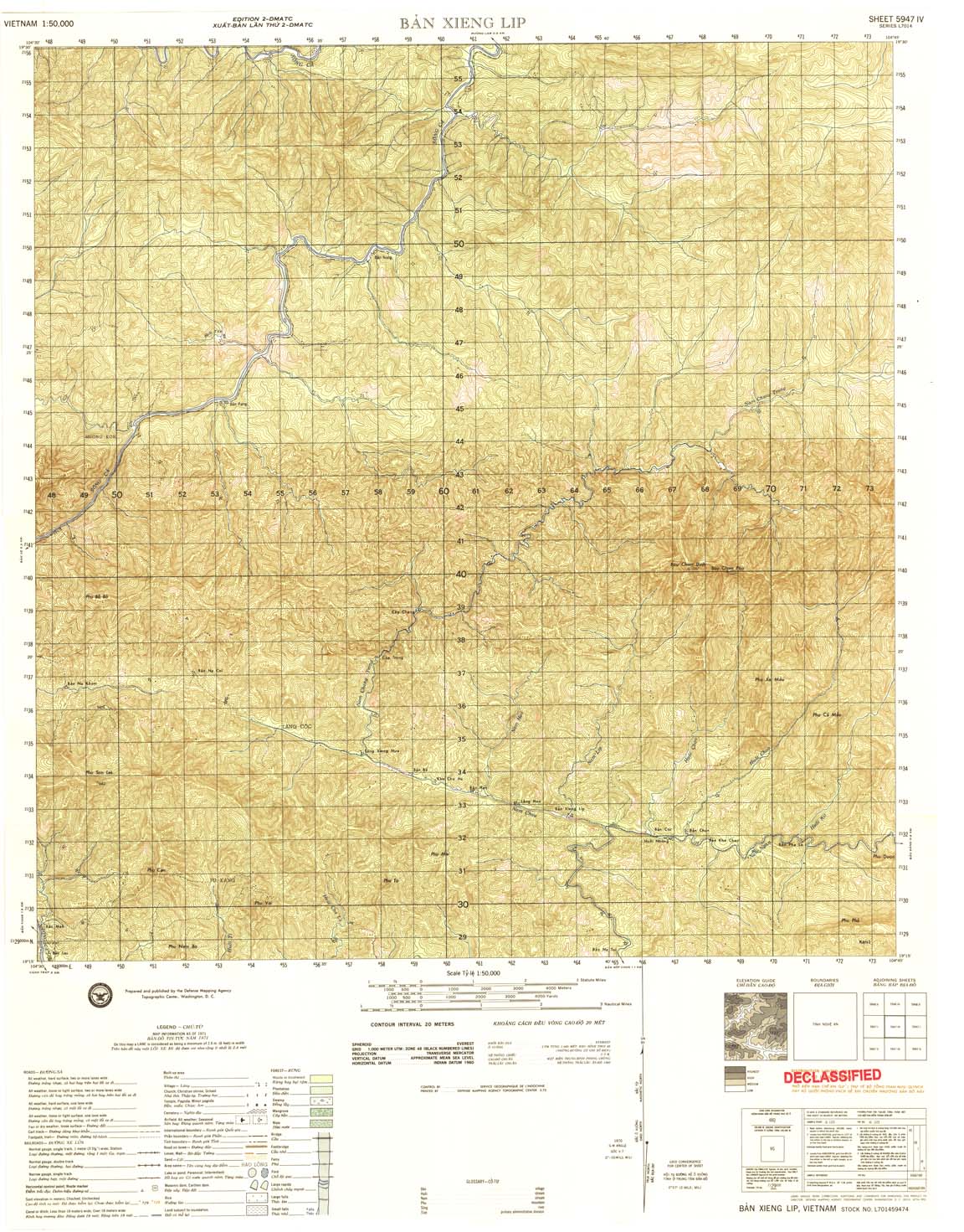
| Ban Xieng Lip | 5947_4 | 1971 | 20 | DMA | 5947_4.jpg | 5947_4.tif | 5947_4.zip |
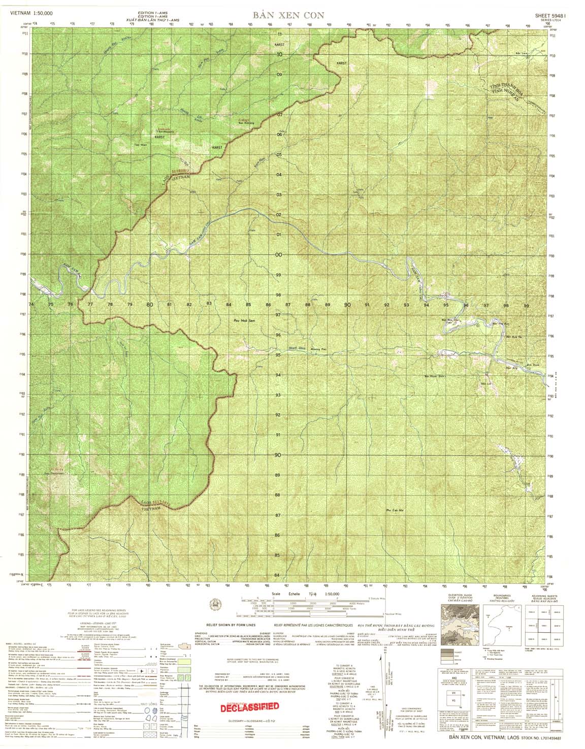
| Ban Xen Con | 5948_1 | 1965 | US Army | 5948_1.jpg | 5948_1.tif | 5948_1.zip | |
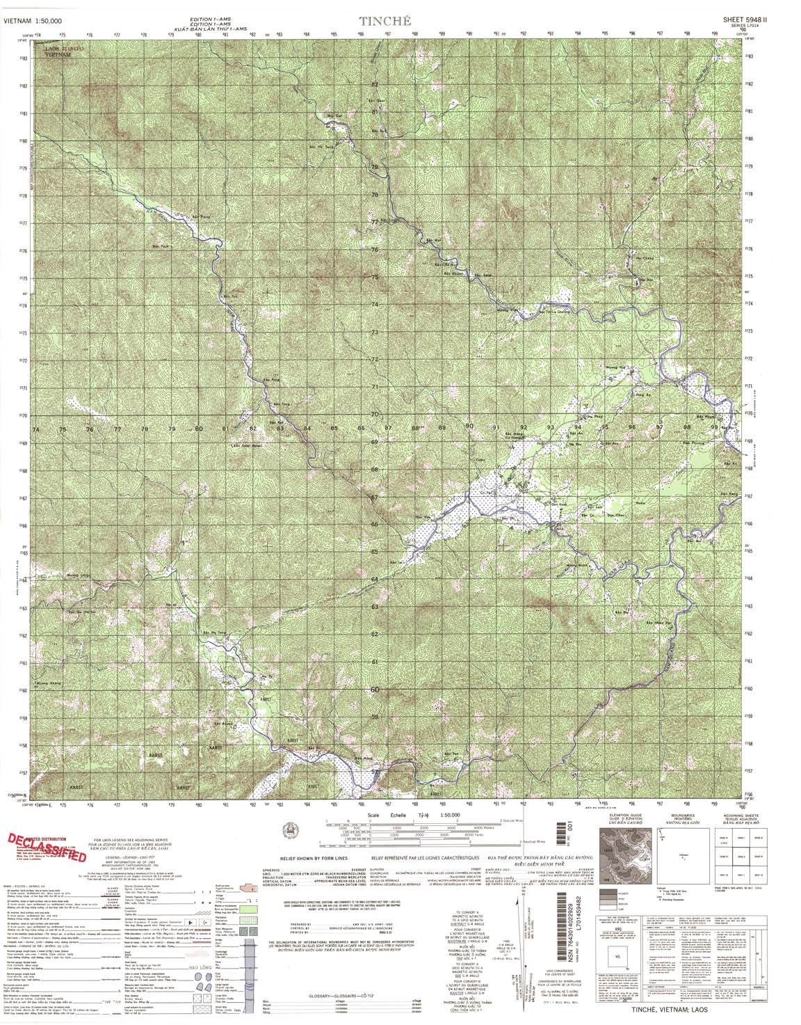
| Tinche | 5948_2 | 1965 | NIMA | 5948_2.jpg | 5948_2.tif | 5948_2.zip | |
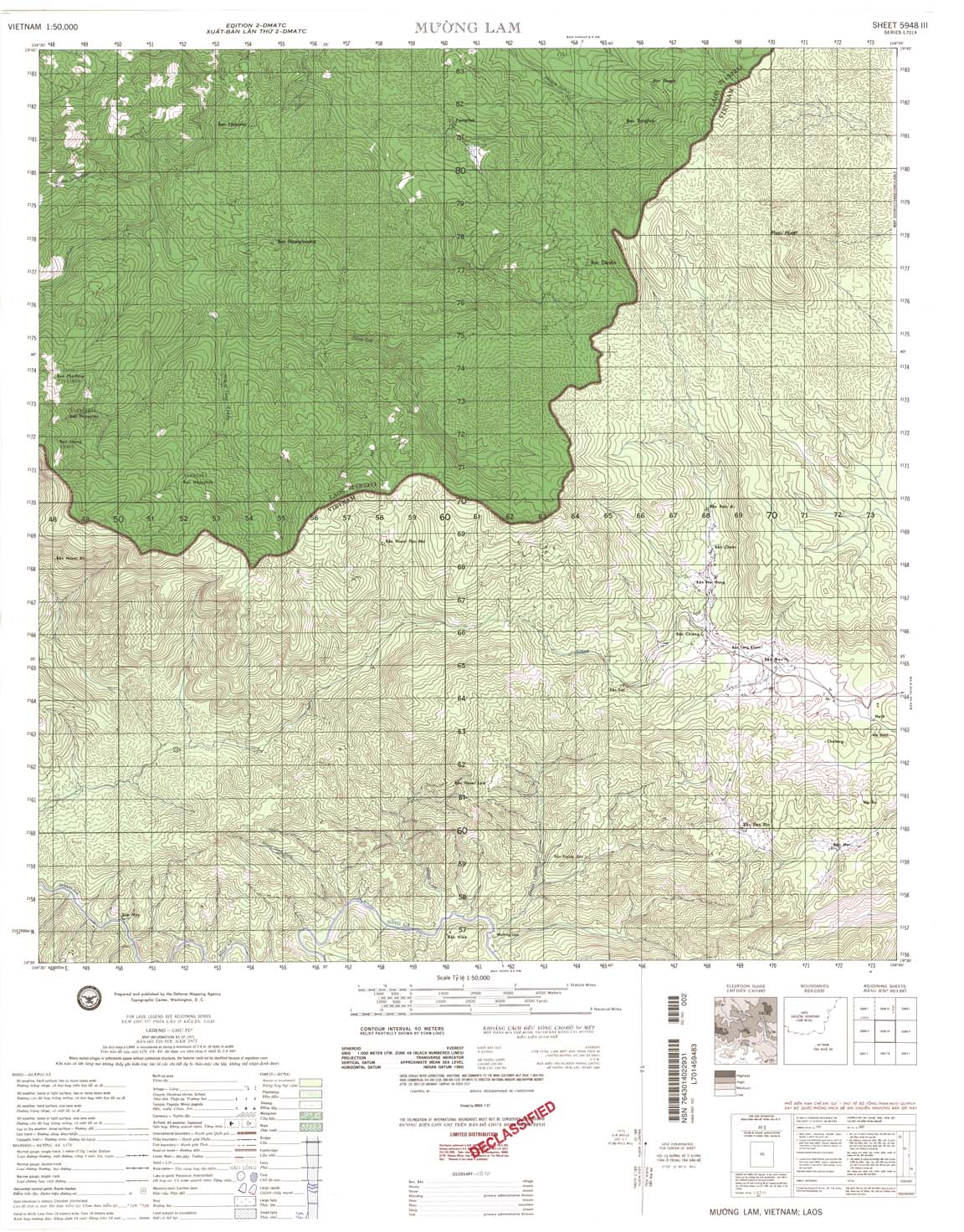
| Muong Lam | 5948_3 | 1971 | 40 | NIMA | 5948_3.jpg | 5948_3.tif | 5948_3.zip |
| Xamtai | 5948_4 | 1965 | US Army | 5948_4.jpg | 5948_4.tif | 5948_4.zip | |
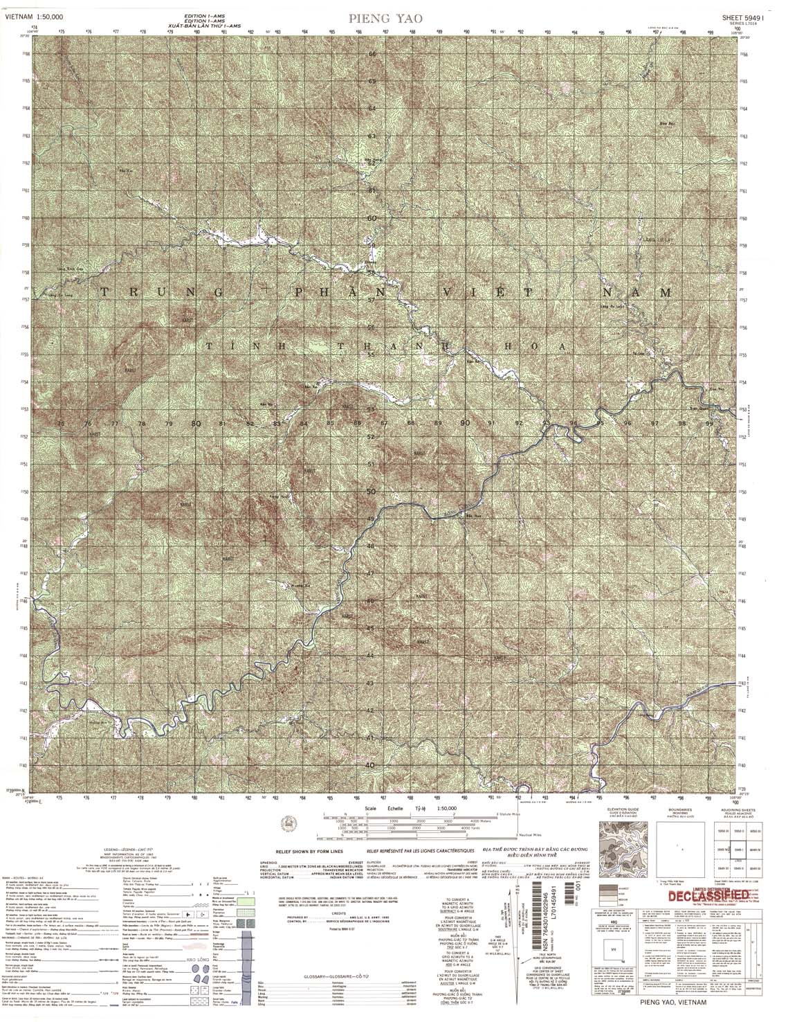
| 5949_1 | 196 | NIMA | 5949_1.jpg | 5949_1.tif | 5949_1.zip | ||
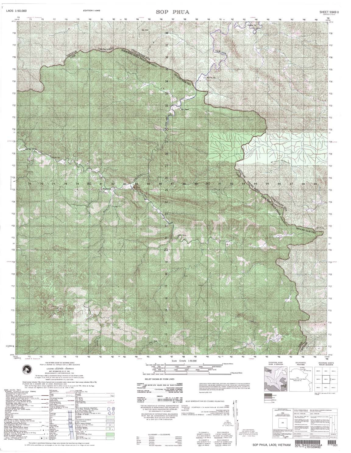
| Sop Phua | 5949_2 | 1965 | US Army | 5949_2.jpg | 5949_2.tif | 5949_2.zip | |
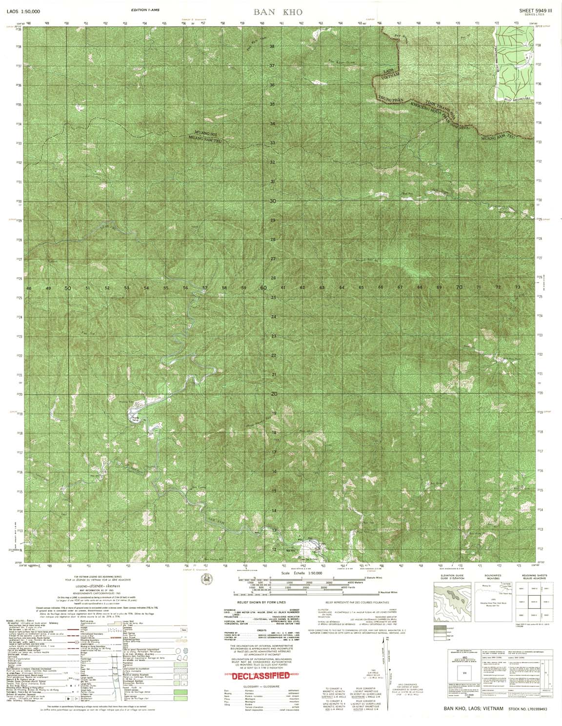
| Ban Kho | 5949_3 | 1965 | US Army | 5949_3.jpg | 5949_3.tif | 5949_3.zip | |
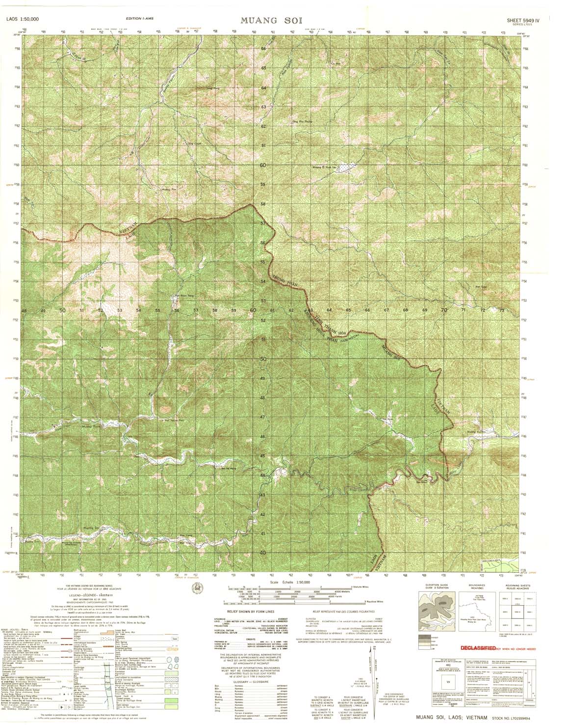
| Muang Soi | 5949_4 | 1965 | US Army | 5949_4.jpg | 5949_4.tif | 5949_4.zip | |
| Lang Chum | 5950_1 | 1966 | 20 | NIMA | 5950_1.jpg | 5950_1.tif | 5950_1.zip |
| Ban Na Sum | 5950_2 | 1965 | 40 | NIMA | 5950_2.jpg | 5950_2.tif | 5950_2.zip |
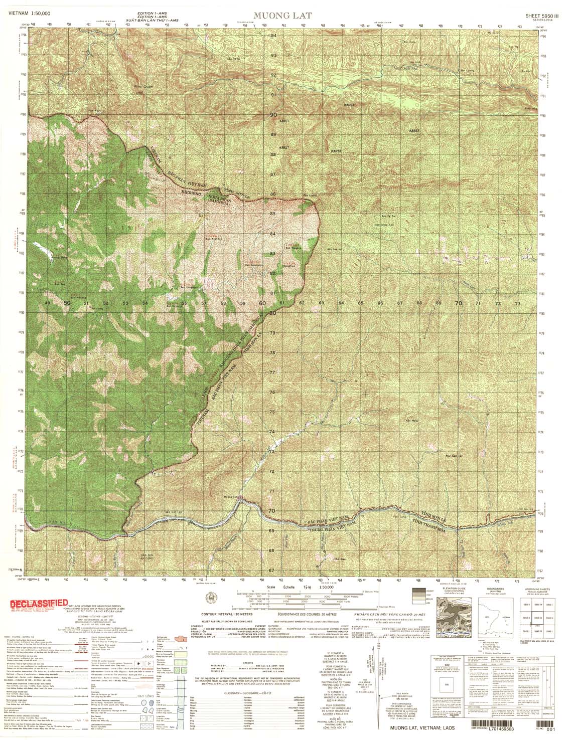
| Muong Lat | 5950_3 | 1965 | 20 | US Army | 5950_3.jpg | 5950_3.tif | 5950_3.zip |
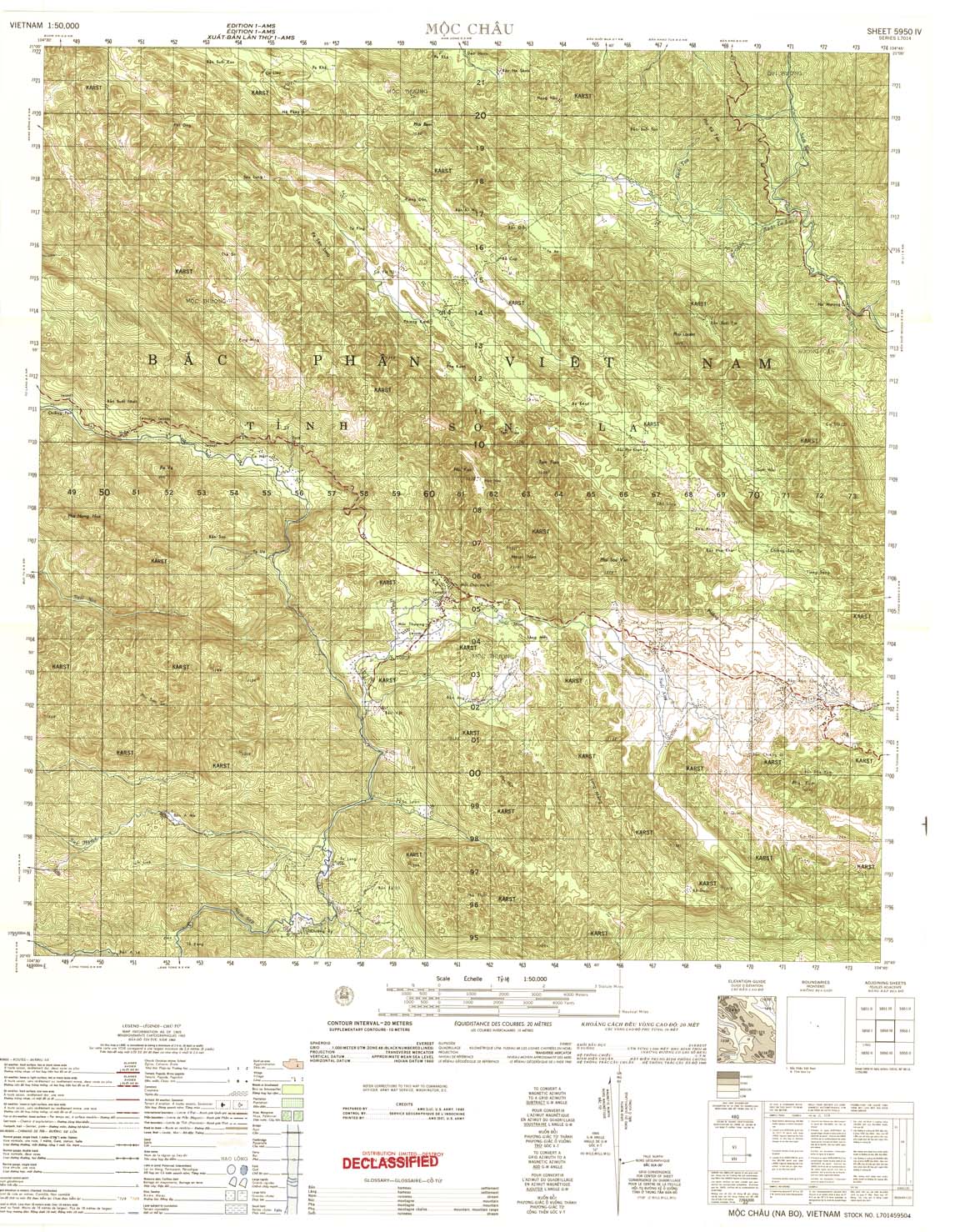
| Moc Chau | 5950_4 | 1965 | 20 | US Army | 5950_4.jpg | 5950_4.tif | 5950_4.zip |
| Ban Chua | 5951_1 | 1966 | 20 | US Army | 5951_1.jpg | 5951_1.tif | 5951_1.zip |
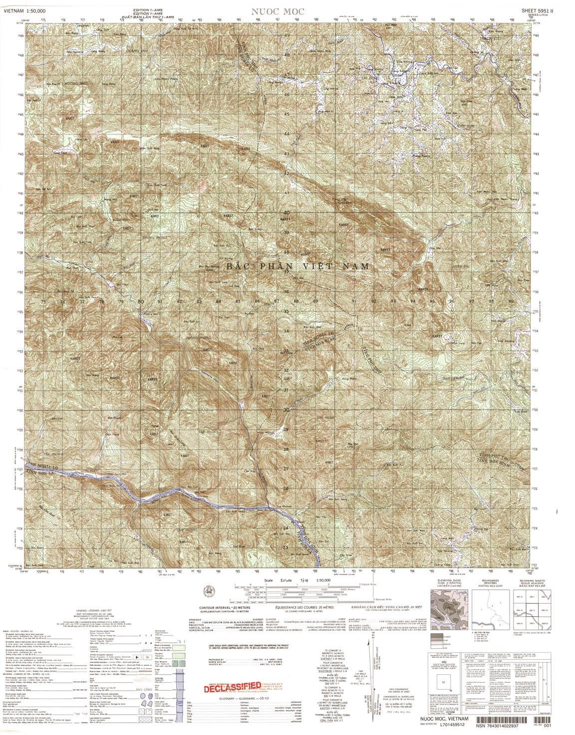
| Nuoc Moc | 5951_2 | 1964 | 20 | US Army | 5951_2.jpg | 5951_2.tif | 5951_2.zip |
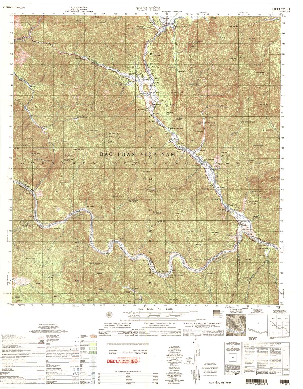
| Yan Yen | 5951_3 | 1965 | 20 | US Army | 5951_3.jpg | 5951_3.tif | 5951_3.zip |
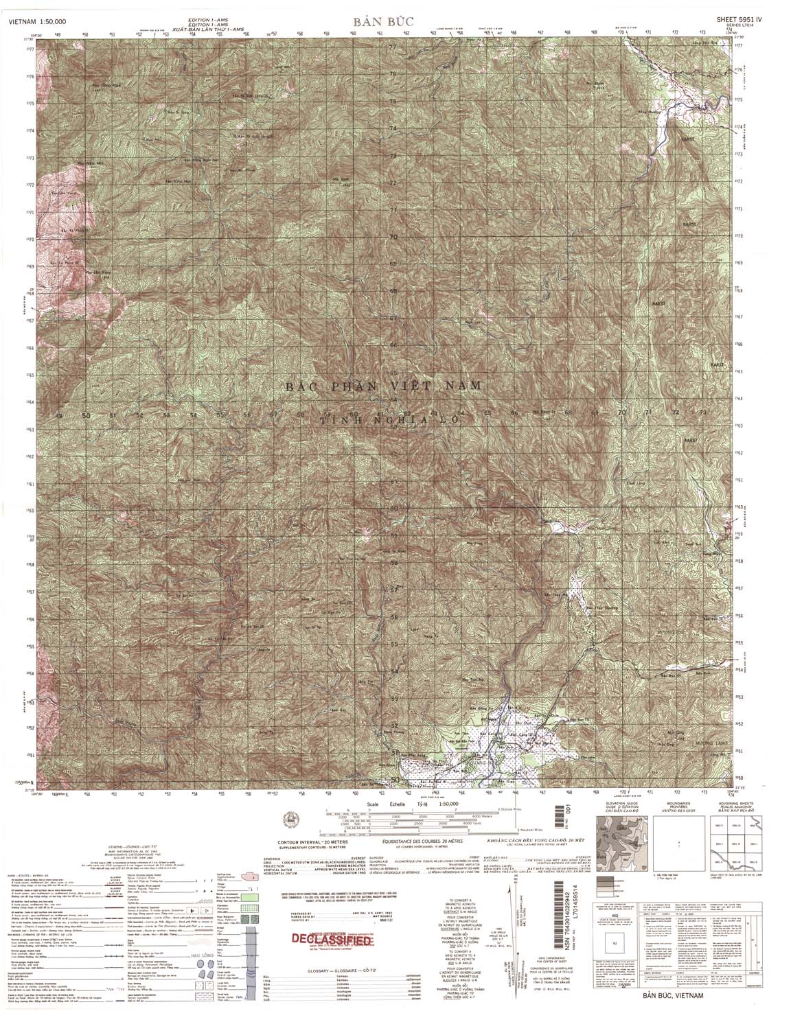
| Ban Buc | 5951_4 | 1965 | 20 | NIMA | 5951_4.jpg | 5951_4.tif | 5951_4.zip |
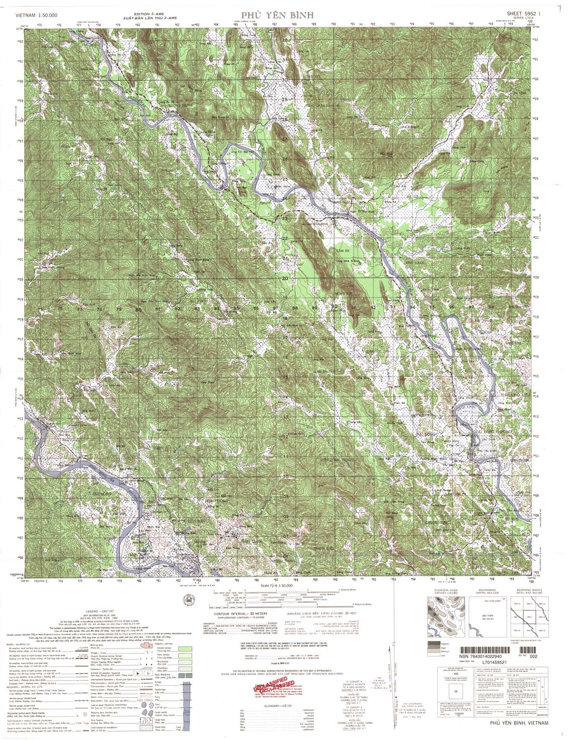
| Phu Yen Binh | 5952_1 | 1966 | 20 | NIMA | 5952_1.jpg | 5952_1.tif | 5952_1.zip |
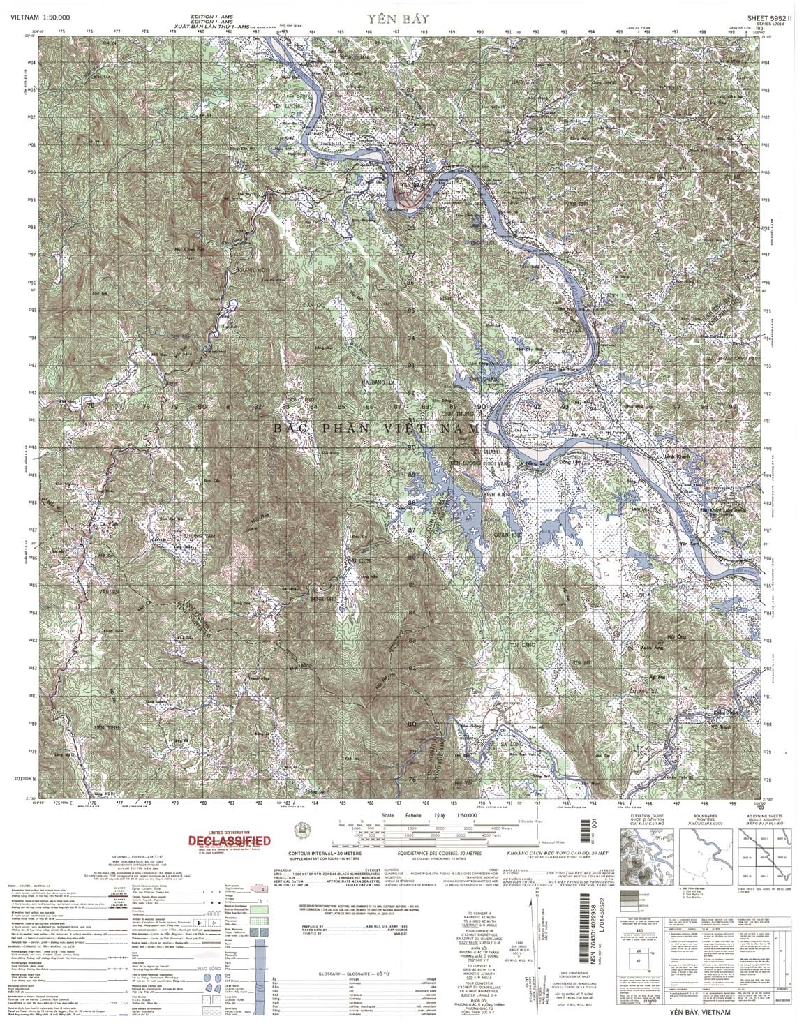
| Yen Bay | 5952_2 | 1965 | 20 | NIMA | 5952_2.jpg | 5952_2.tif | 5952_2.zip |
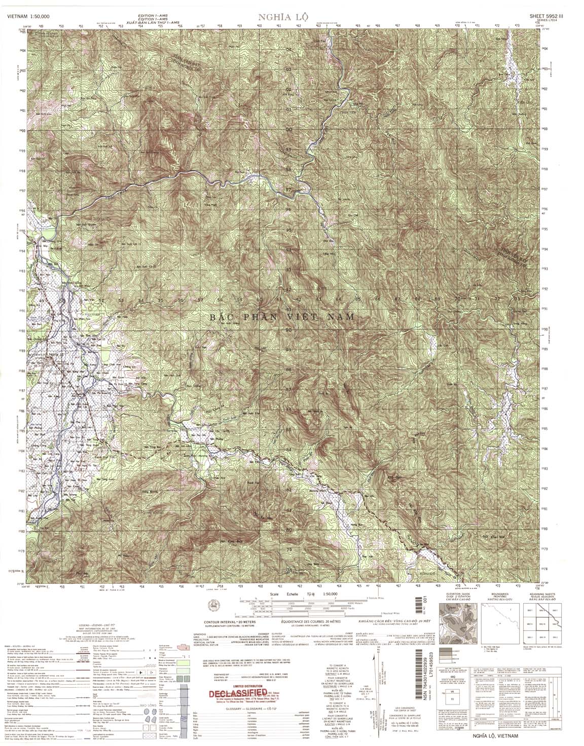
| Gnhia Lo | 5952_3 | 1965 | 20 | NIMA | 5952_3.jpg | 5952_3.tif | 5952_3.zip |
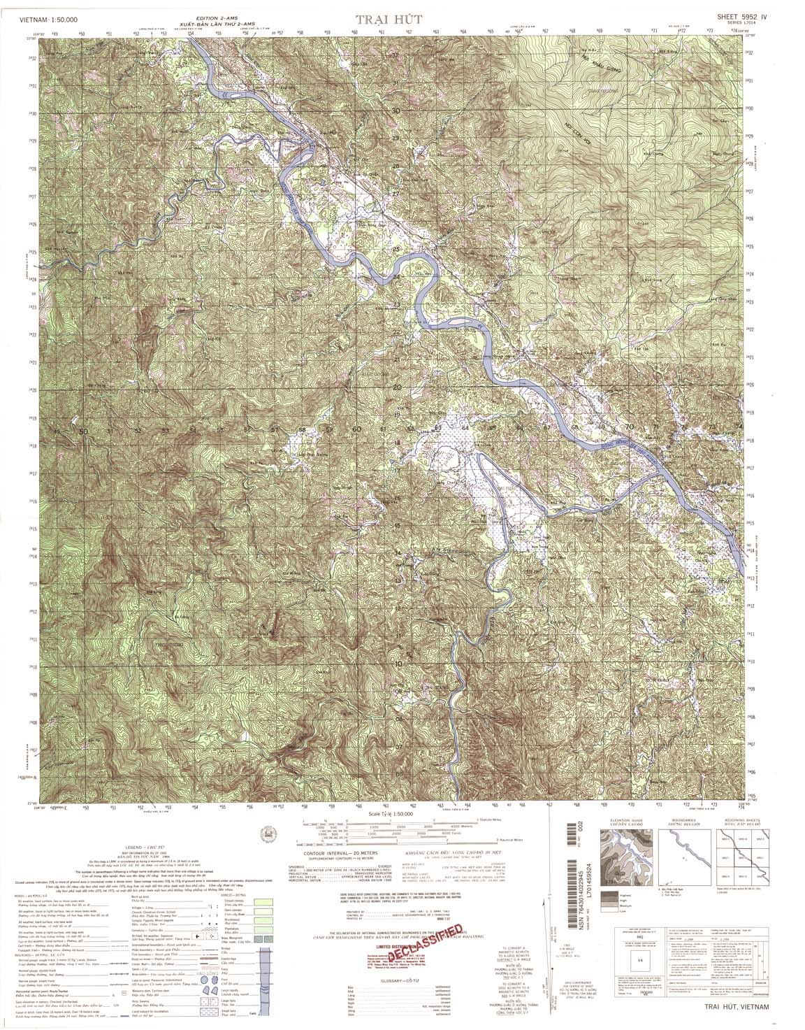
| Trai Hut | 5952_4 | 1966 | 20 | NIMA | 5952_4.jpg | 5952_4.tif | 5952_4.zip |
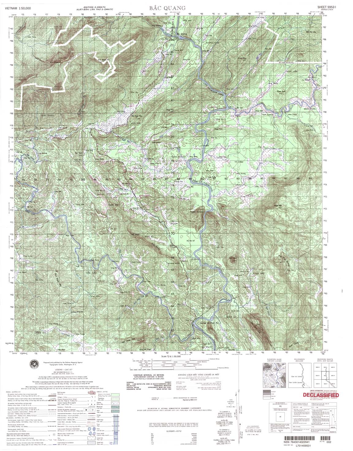
| Bac Quang | 5953_1 | 1966 | 20 | US Army | 5953_1.jpg | 5953_1.tif | 5953_1.zip |
| Lang Muong | 5953_2 | 1971 | 20 | DMA | 5953_2.jpg | 5953_2.tif | 5953_2.zip |
| Luc An Chau | 5953_3 | 1965 | 40 | NIMA | 5953_3.jpg | 5953_3.tif | 5953_3.zip |
| Yen Binh Xa | 5953_4 | 1964 | 20 | NIMA | 5953_4.jpg | 5953_4.tif | 5953_4.zip |
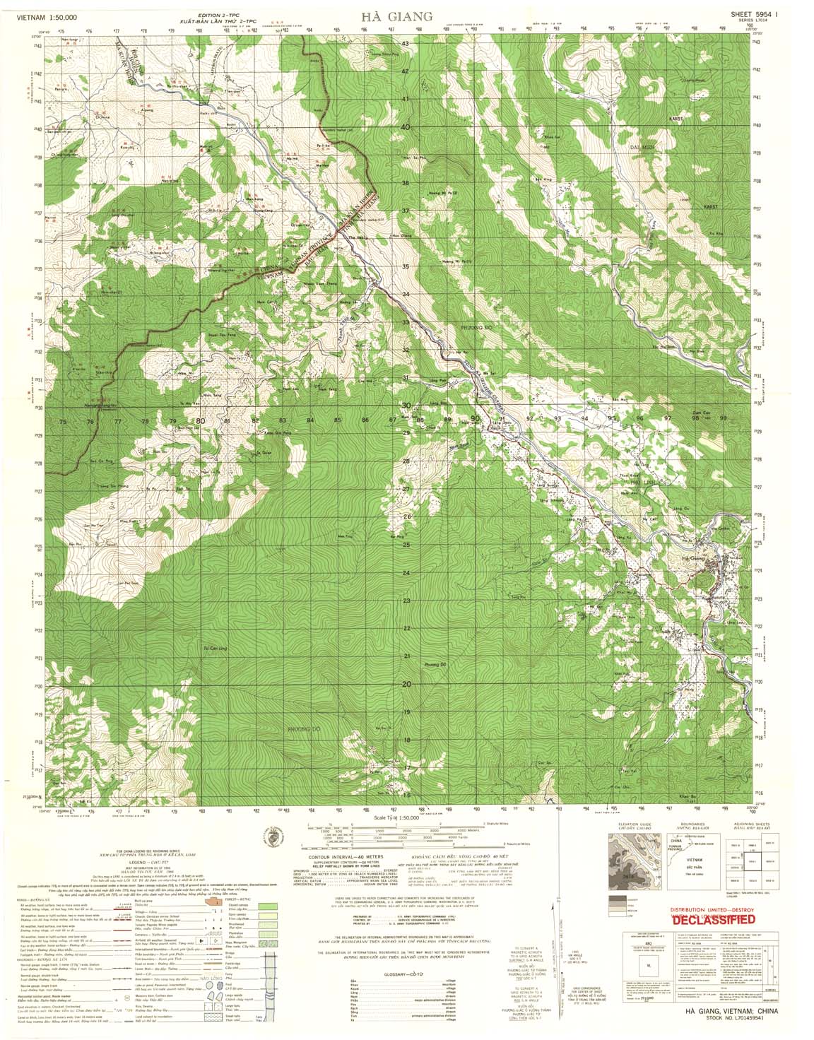
| Ha Giang | 5954_1 | 1966 | 40 | US Army | 5954_1.jpg | 5954_1.tif | 5954_1.zip |
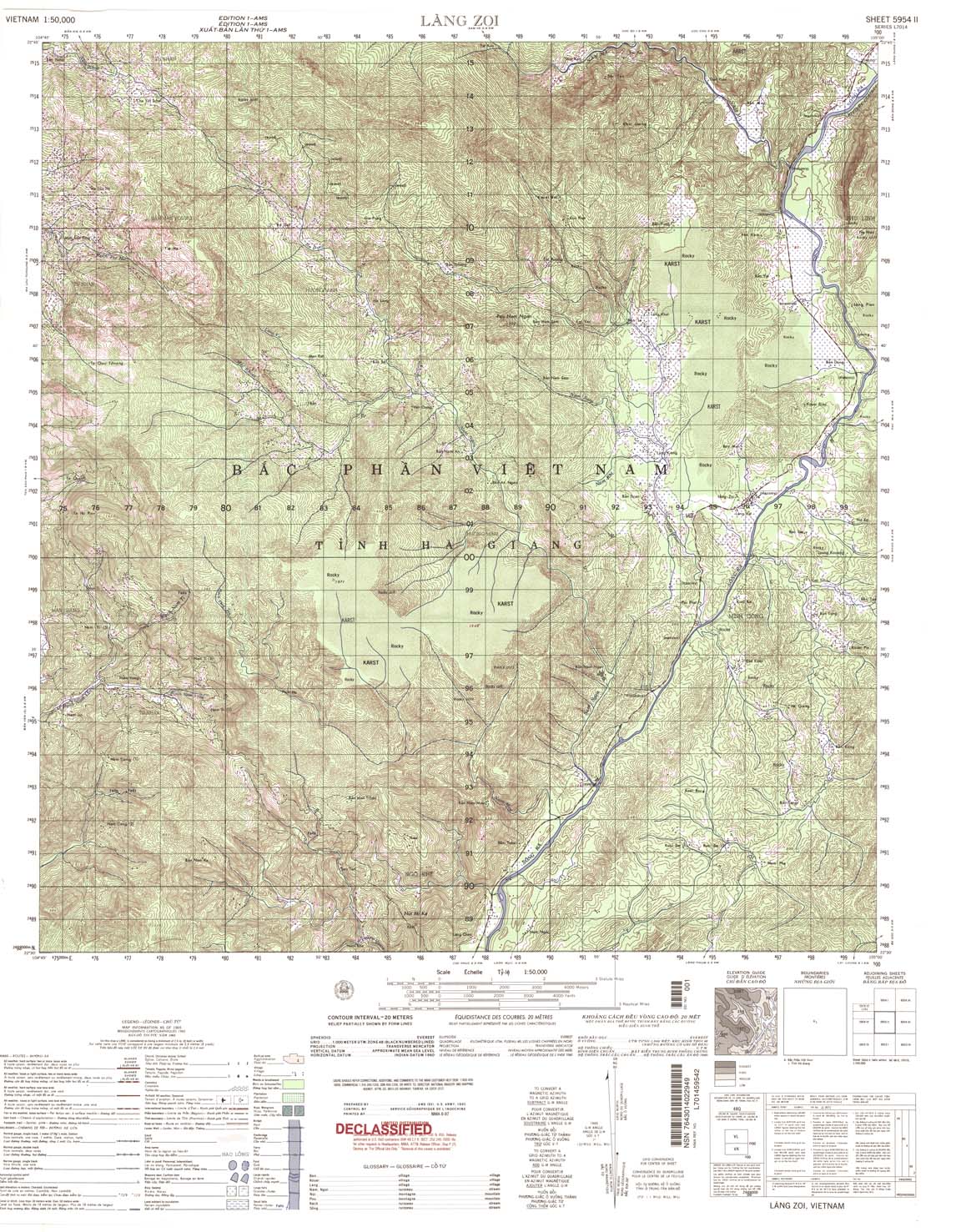
| Lang Zoi | 5954_2 | 1965 | 20 | NIMA | 5954_2.jpg | 5954_2.tif | 5954_2.zip |
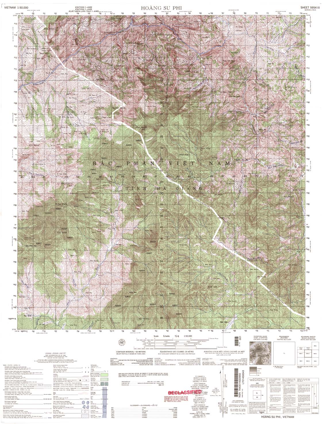
| Hoang Su Phi | 5954_3 | 1965 | 20 | NIMA | 5954_3.jpg | 5954_3.tif | 5954_3.zip |
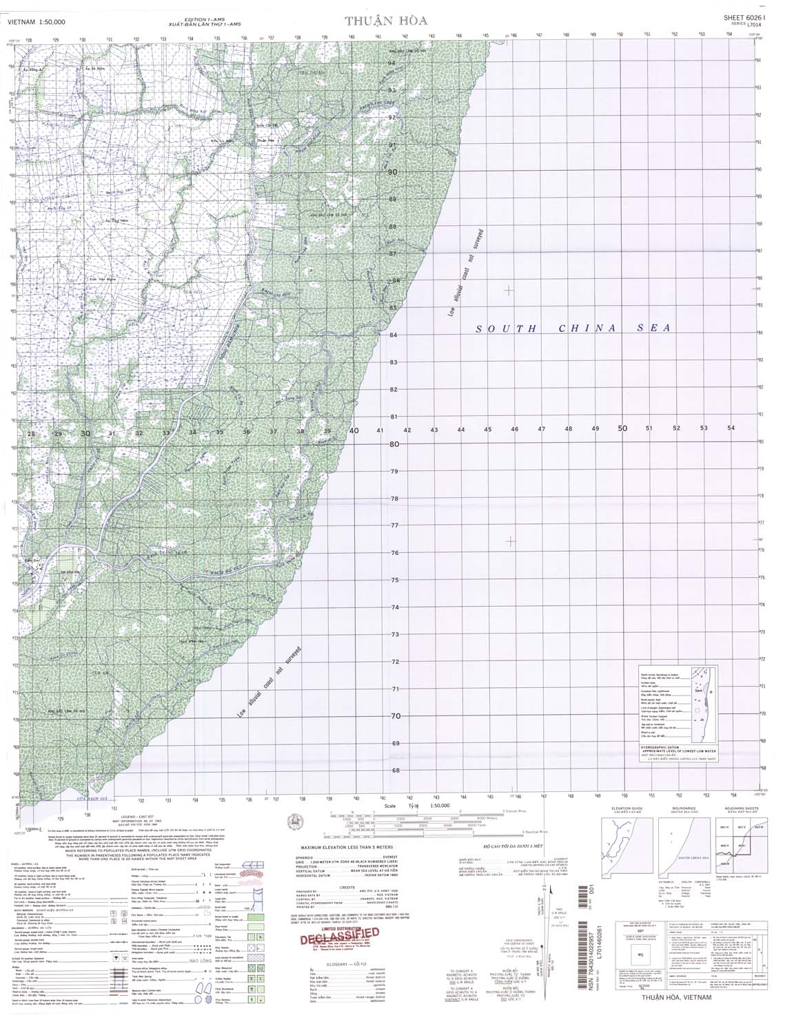
| Thuan Hoa | 6026_1 | 1965 | NIMA | 6026_1.jpg | 6026_1.tif | 6026_1.zip | |
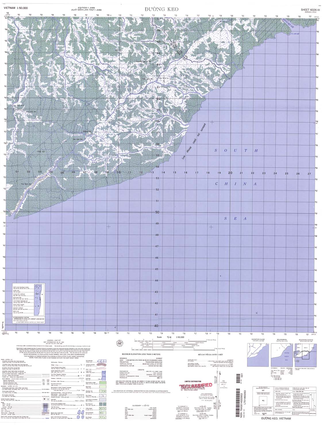
| Duong Keo | 6026_3 | 1965 | NIMA | 6026_3.jpg | 6026_3.tif | 6026_3.zip | |
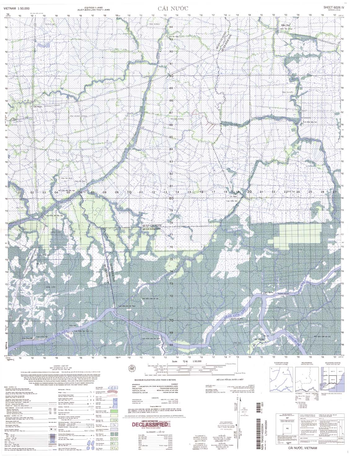
| Cai Nuoc | 6026_4 | 1965 | NIMA | 6026_4.jpg | 6026_4.tif | 6026_4.zip | |
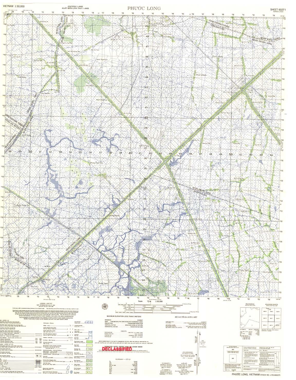
| Phuoc Long | 6027_1 | 1965 | US Army | 6027_1.jpg | 6027_1.tif | 6027_1.zip | |
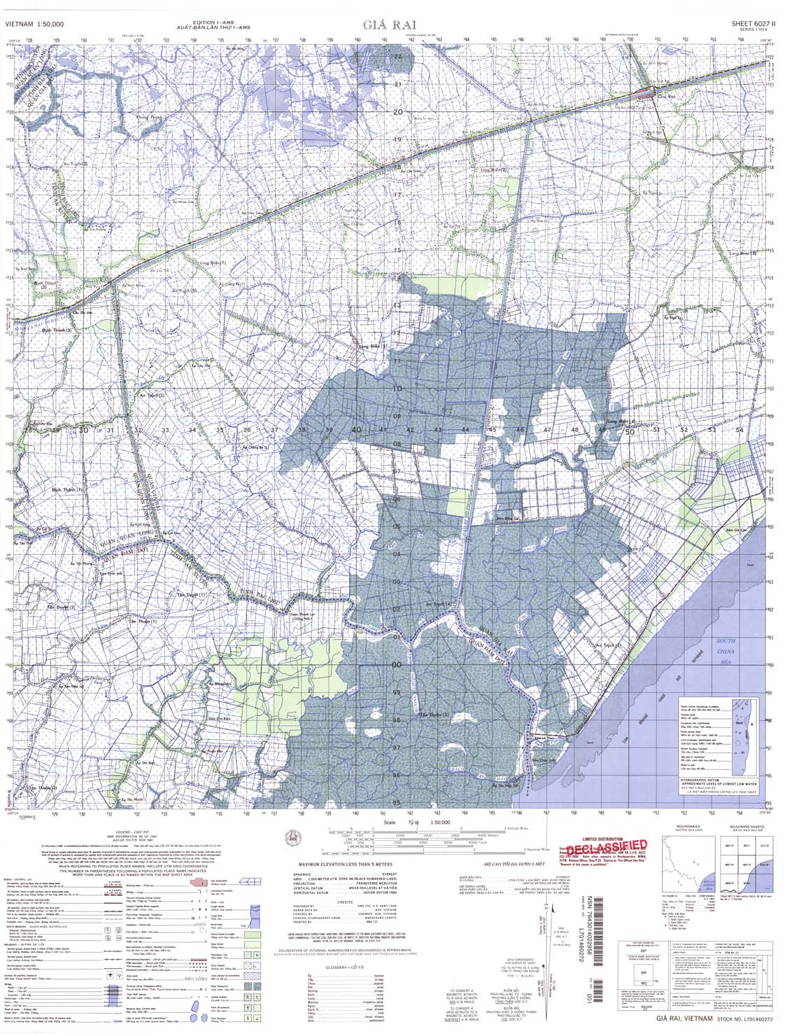
| Gia Rai | 6027_2 | 1965 | NIMA | 6027_2.jpg | 6027_2.tif | 6027_2.zip | |
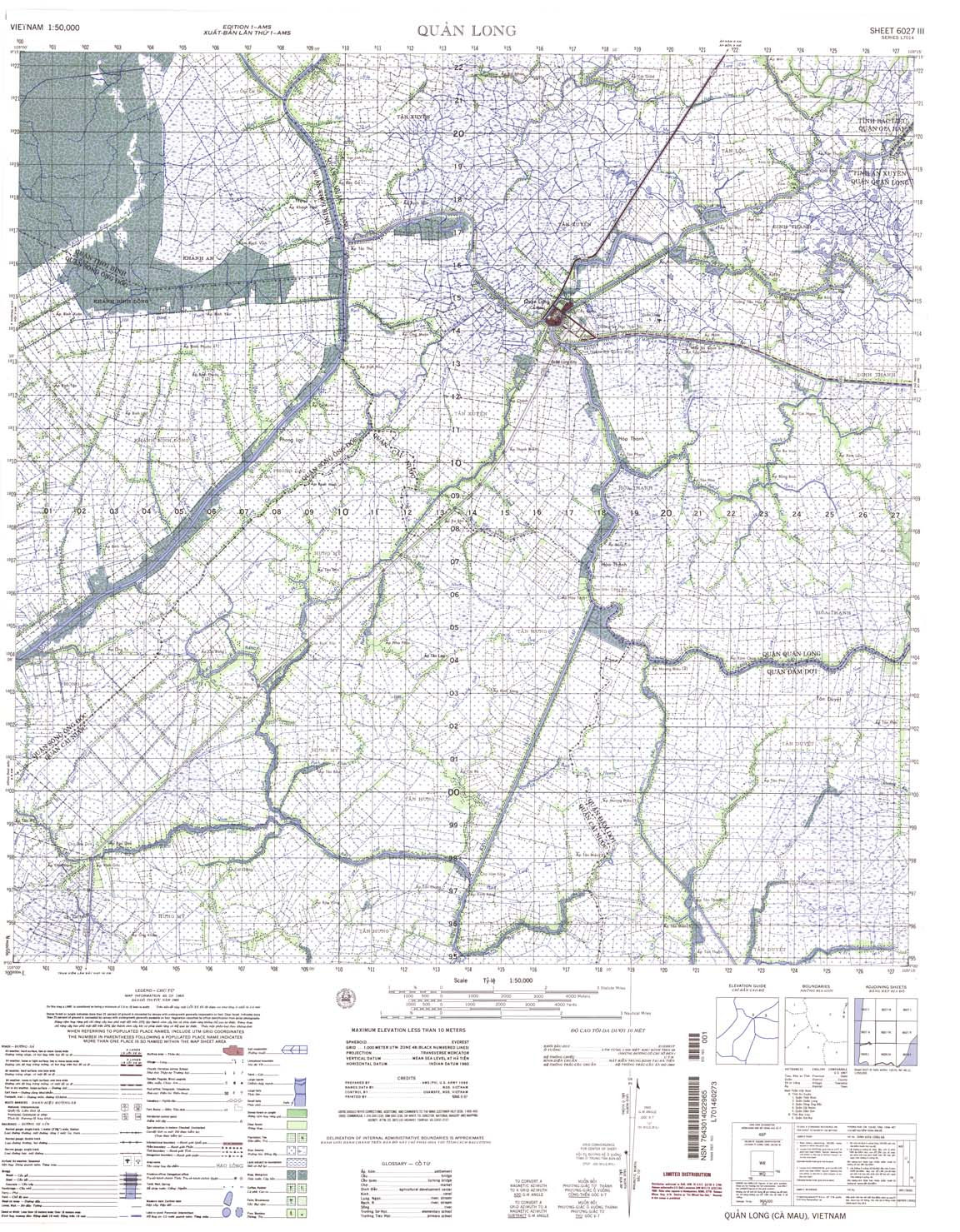
| Quan Long | 6027_3 | 1965 | NIMA | 6027_3.jpg | 6027_3.tif | 6027_3.zip | |
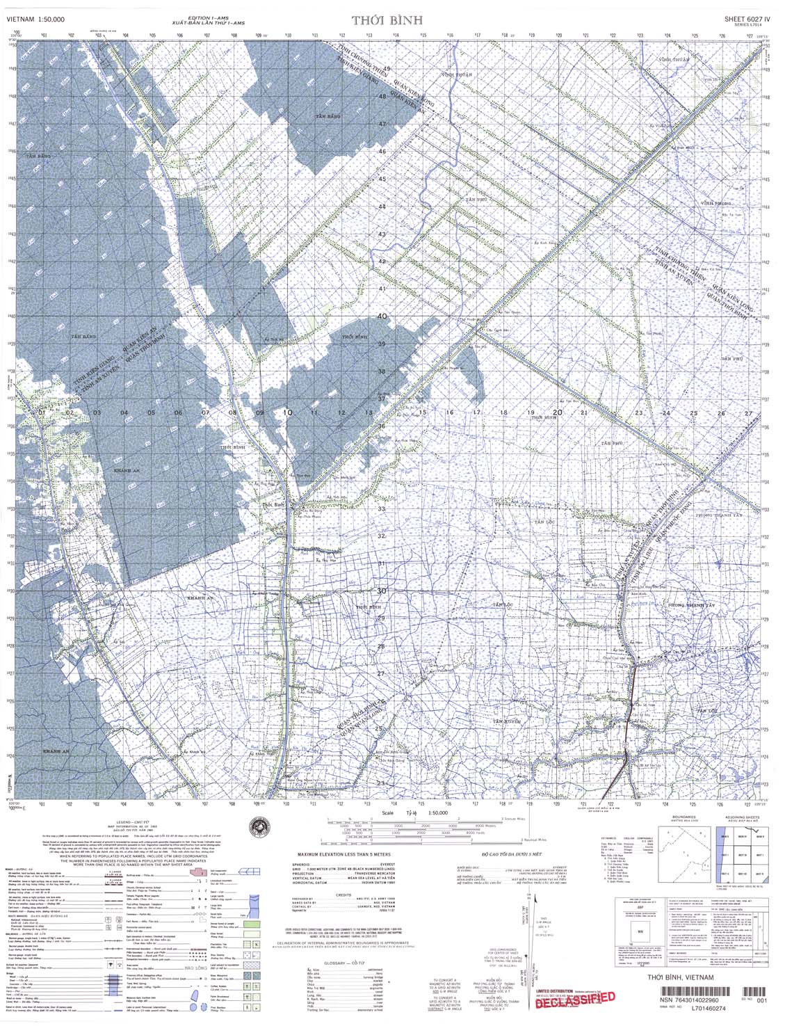
| Thoi Binh | 6027_4 | 1965 | NIMA | 6027_4.jpg | 6027_4.tif | 6027_4.zip | |
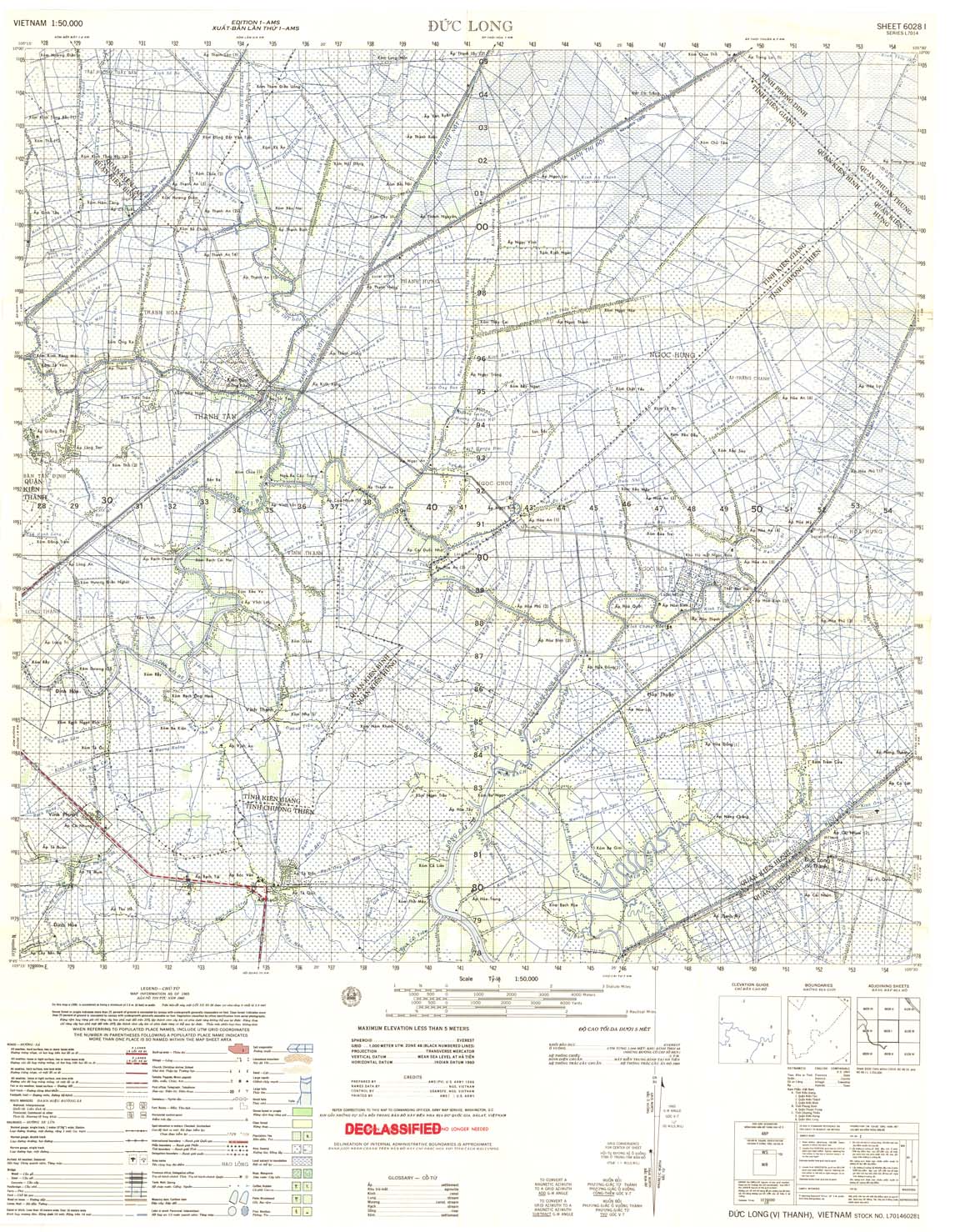
| Duc Long | 6028_1 | 1965 | US Army | 6028_1.jpg | 6028_1.tif | 6028_1.zip | |
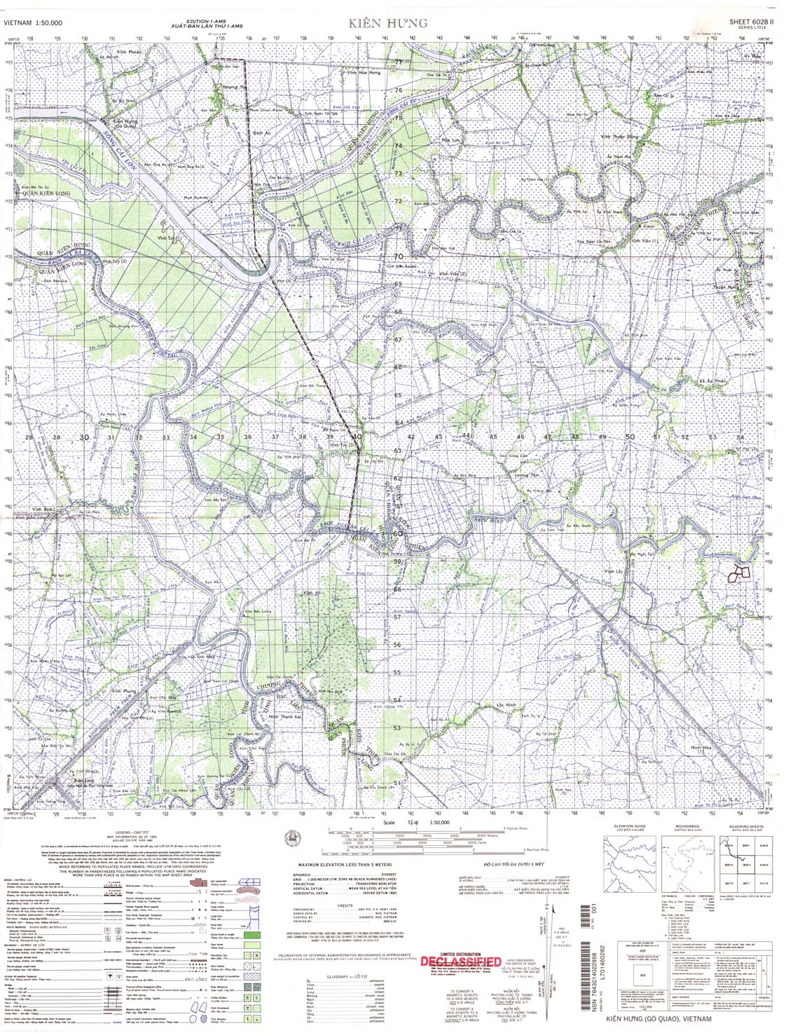
| Kien Hung | 6028_2 | 1965 | NIMA | 6028_2.jpg | 6028_2.tif | 6028_2.zip | |
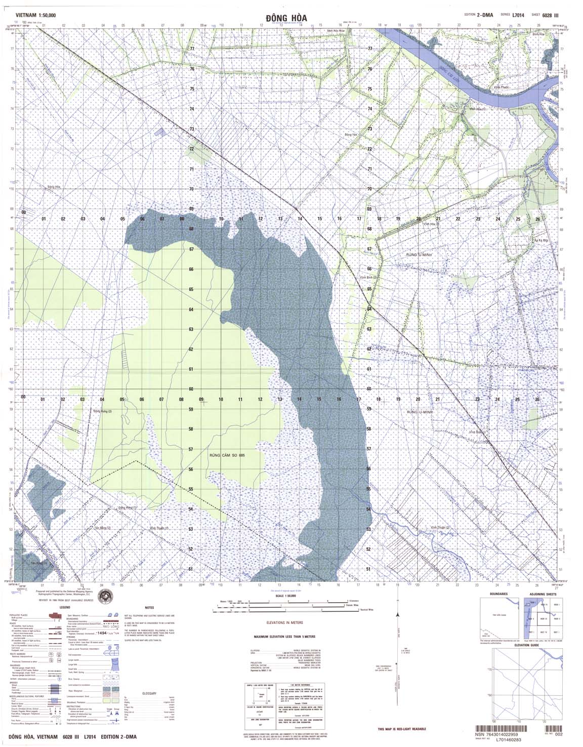
| Dong Hoa | 6028_3 | 1989 | NIMA | 6028_3.jpg | 6028_3.tif | 6028_3.zip | |
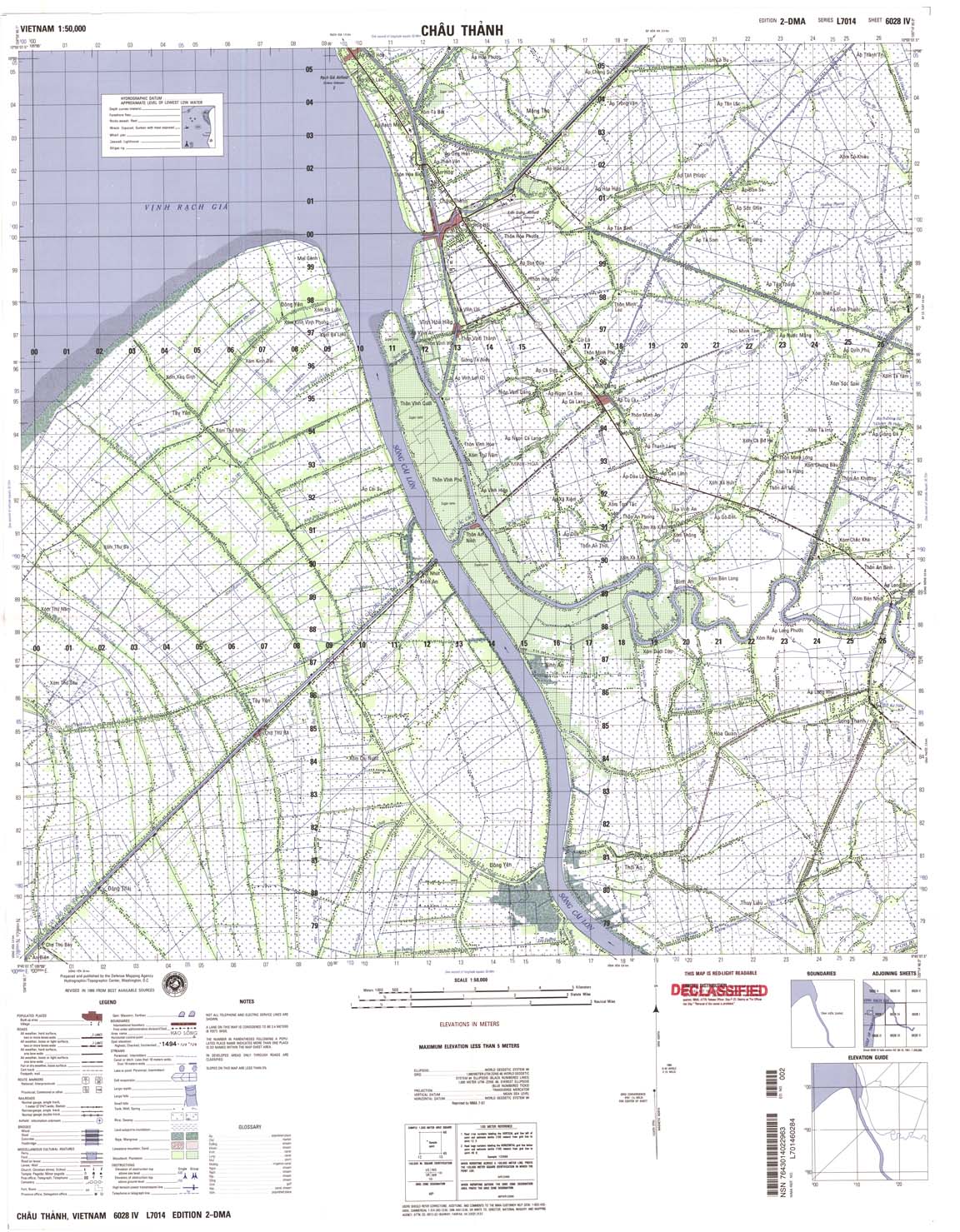
| Chau Thanh | 6028_4 | 1989 | NIMA | 6028_4.jpg | 6028_4.tif | 6028_4.zip | |
| Long Xuyen | 6029_1 | 1969 | 20 | US Army | 6029_1.jpg | 6029_1.tif | 6029_1.zip |
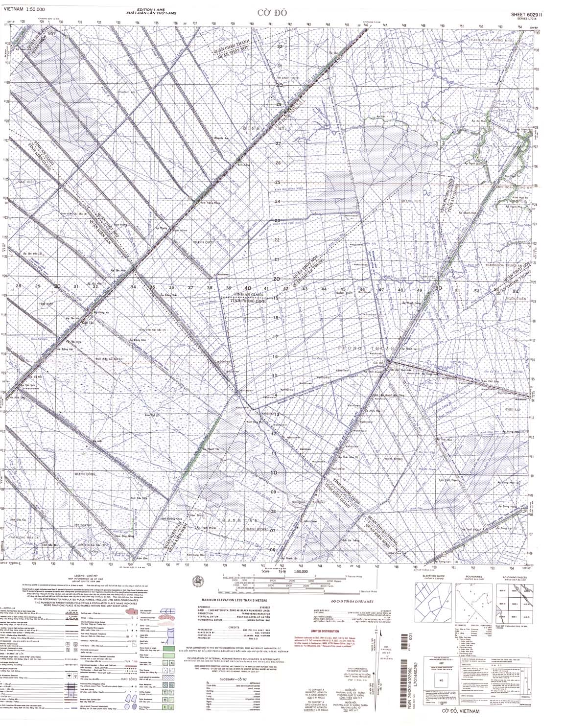
| Co Do | 6029_2 | 1965 | NIMA | 6029_2.jpg | 6029_2.tif | 6029_2.zip | |
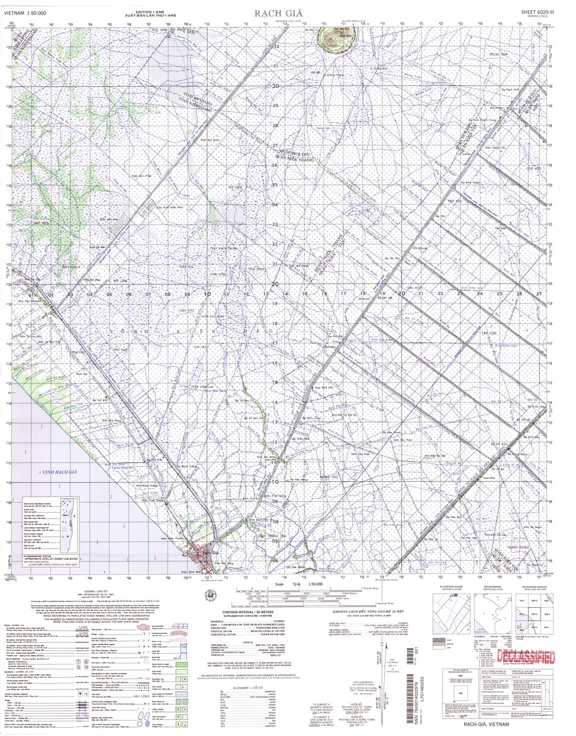
| Rach Gia | 6029_3 | 1965 | 20 | NIMA | 6029_3.jpg | 6029_3.tif | 6029_3.zip |
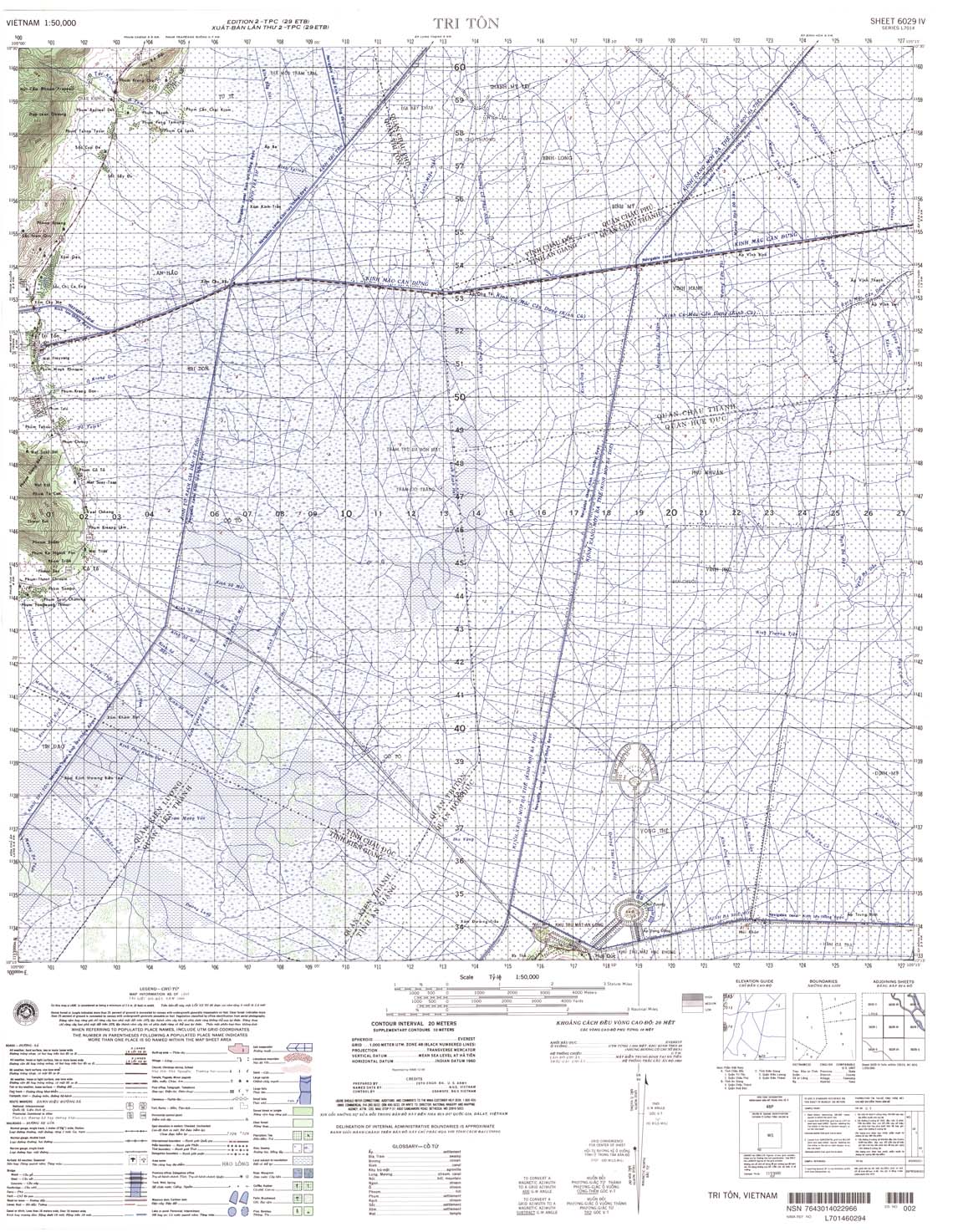
| Tri Ton | 6029_4 | 1969 | 20 | NIMA | 6029_4.jpg | 6029_4.tif | 6029_4.zip |
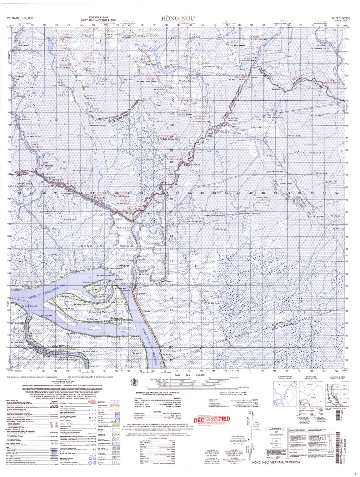
| Hong Ngu | 6030_1 | 1965 | US Army | 6030_1.jpg | 6030_1.tif | 6030_1.zip | |
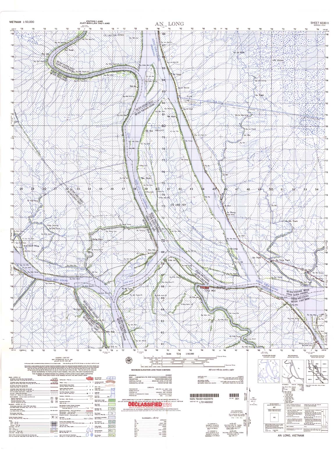
| An Long | 6030_2 | 1965 | US Army | 6030_2.jpg | 6030_2.tif | 6030_2.zip | |
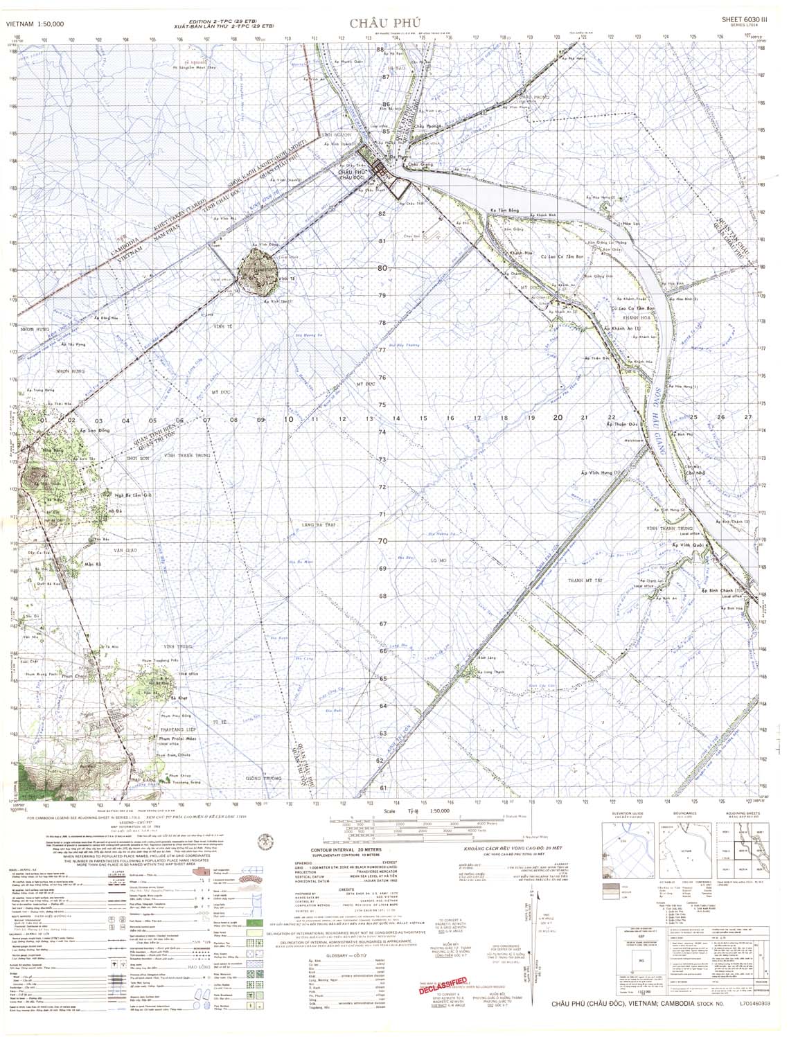
| Chau Phu | 6030_3 | 1969 | US Army | 6030_3.jpg | 6030_3.tif | 6030_3.zip | |
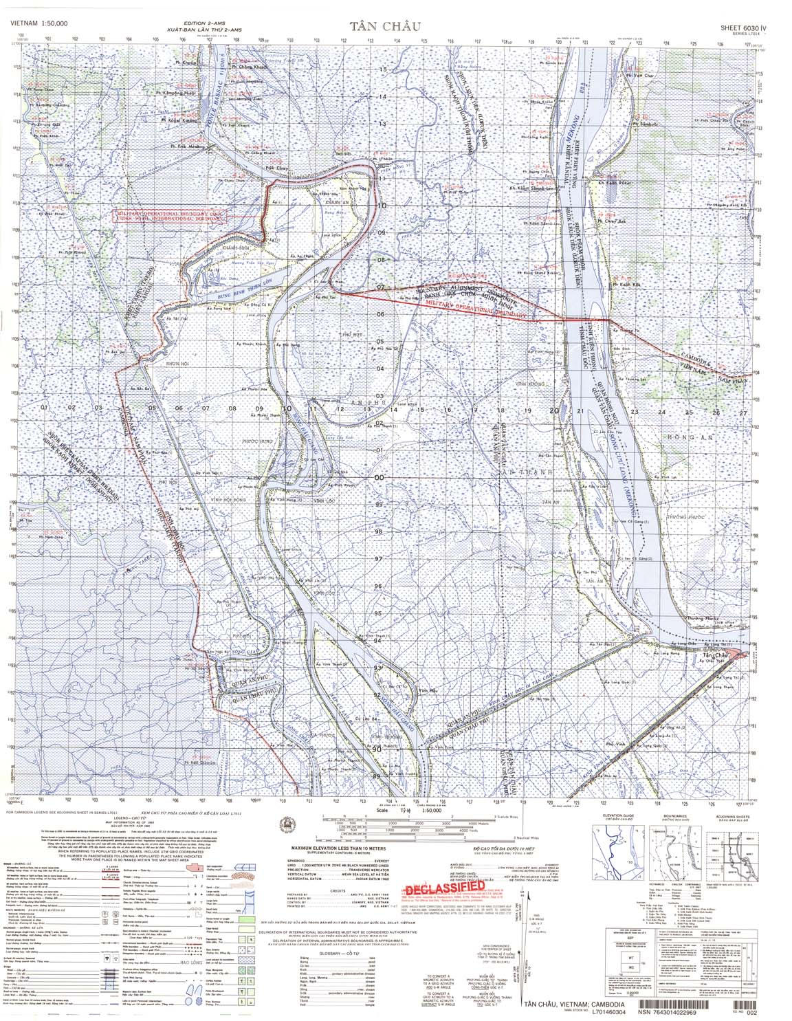
| Tan Chau | 6030_4 | 1965 | US Army | 6030_4.jpg | 6030_4.tif | 6030_4.zip | |
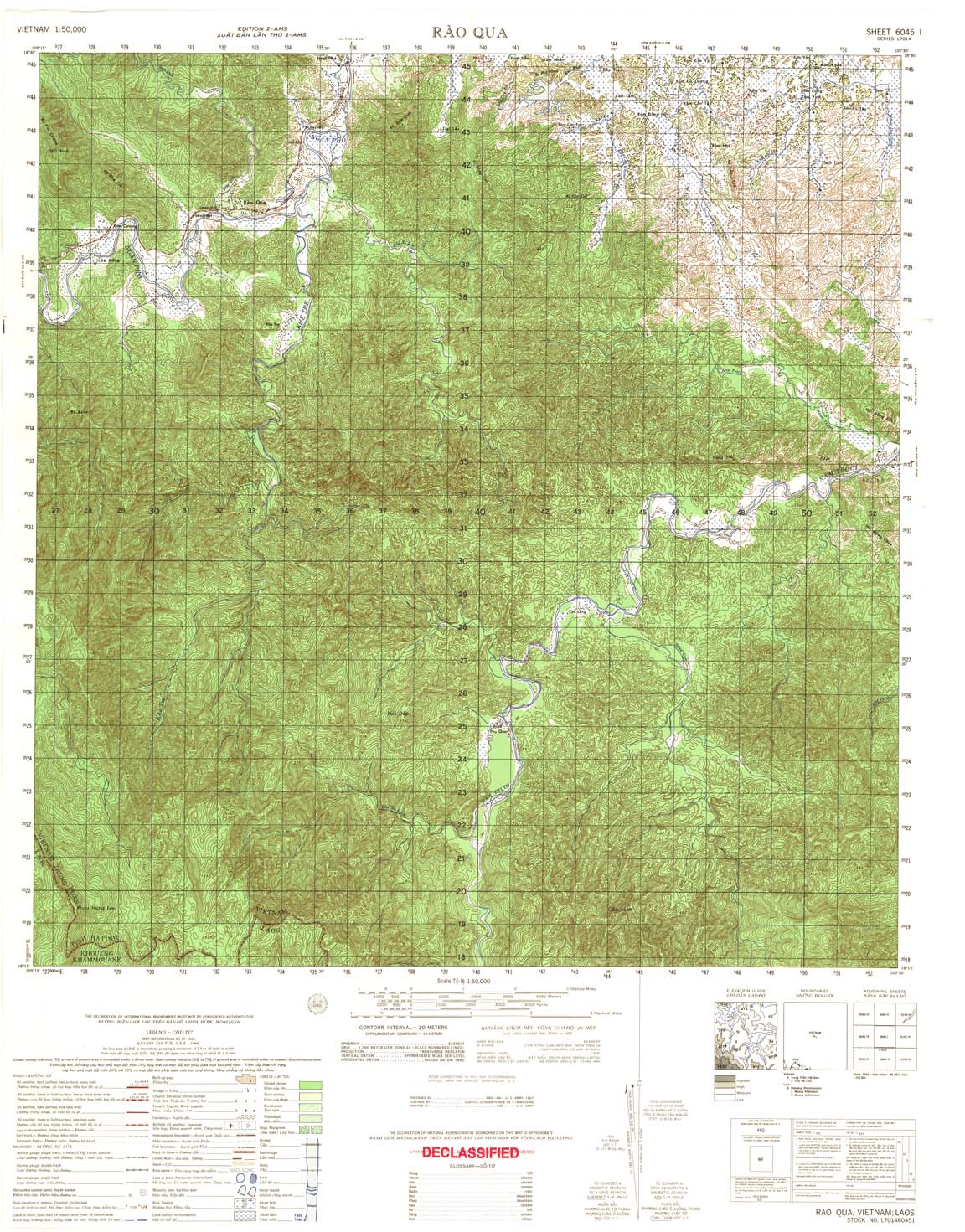
| Rao Qua | 6045_1 | 1966 | 20 | US Army | 6045_1.jpg | 6045_1.tif | 6045_1.zip |
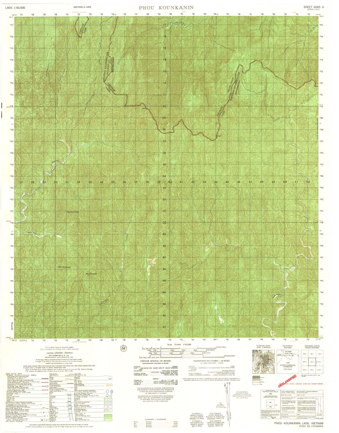
| Phou Kounkanin | 6045_2 | 1966 | 20 | NIMA | 6045_2.jpg | 6045_2.tif | 6045_2.zip |
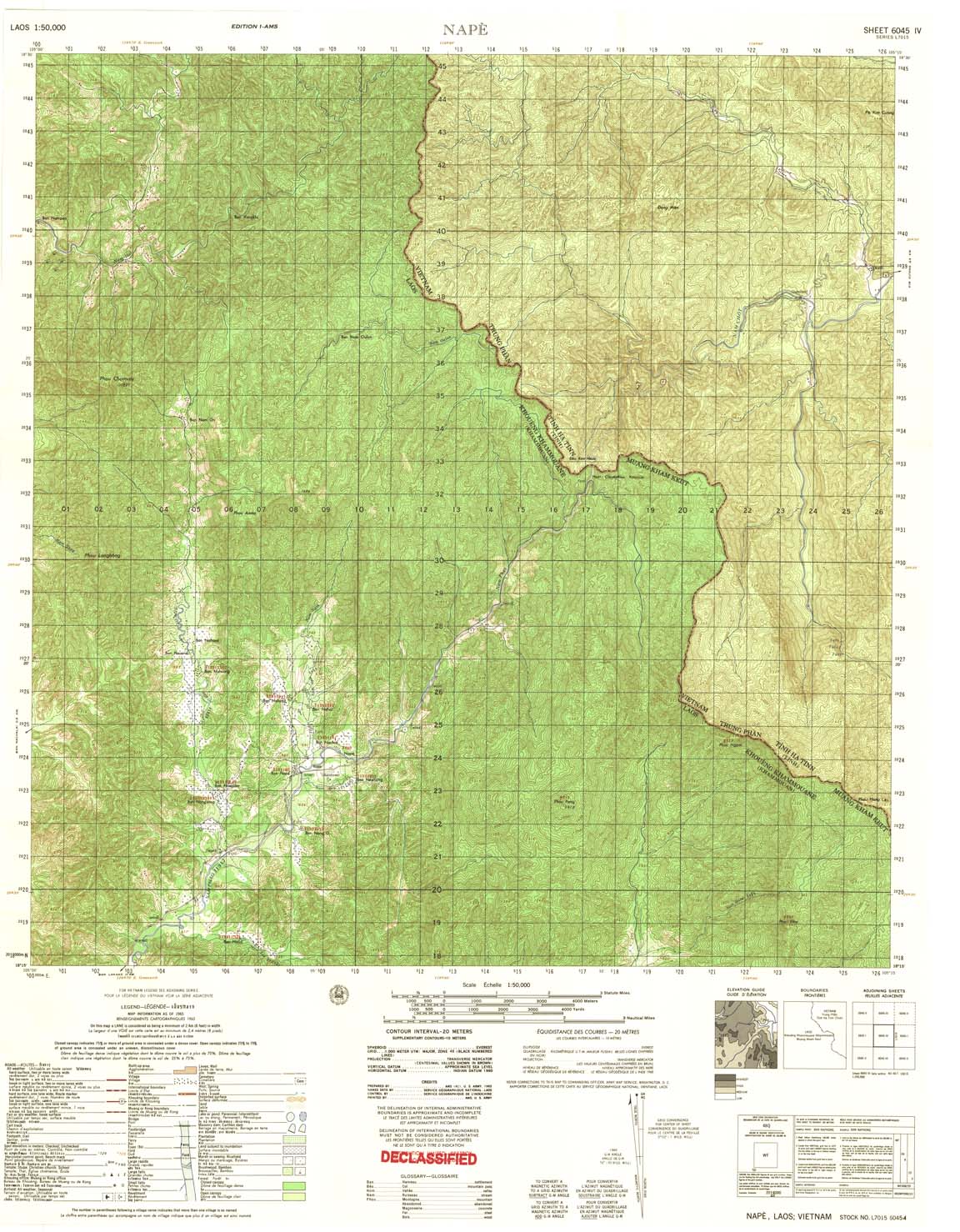
| Nape | 6045_4 | 1965 | 20 | US Army | 6045_4.jpg | 6045_4.tif | 6045_4.zip |
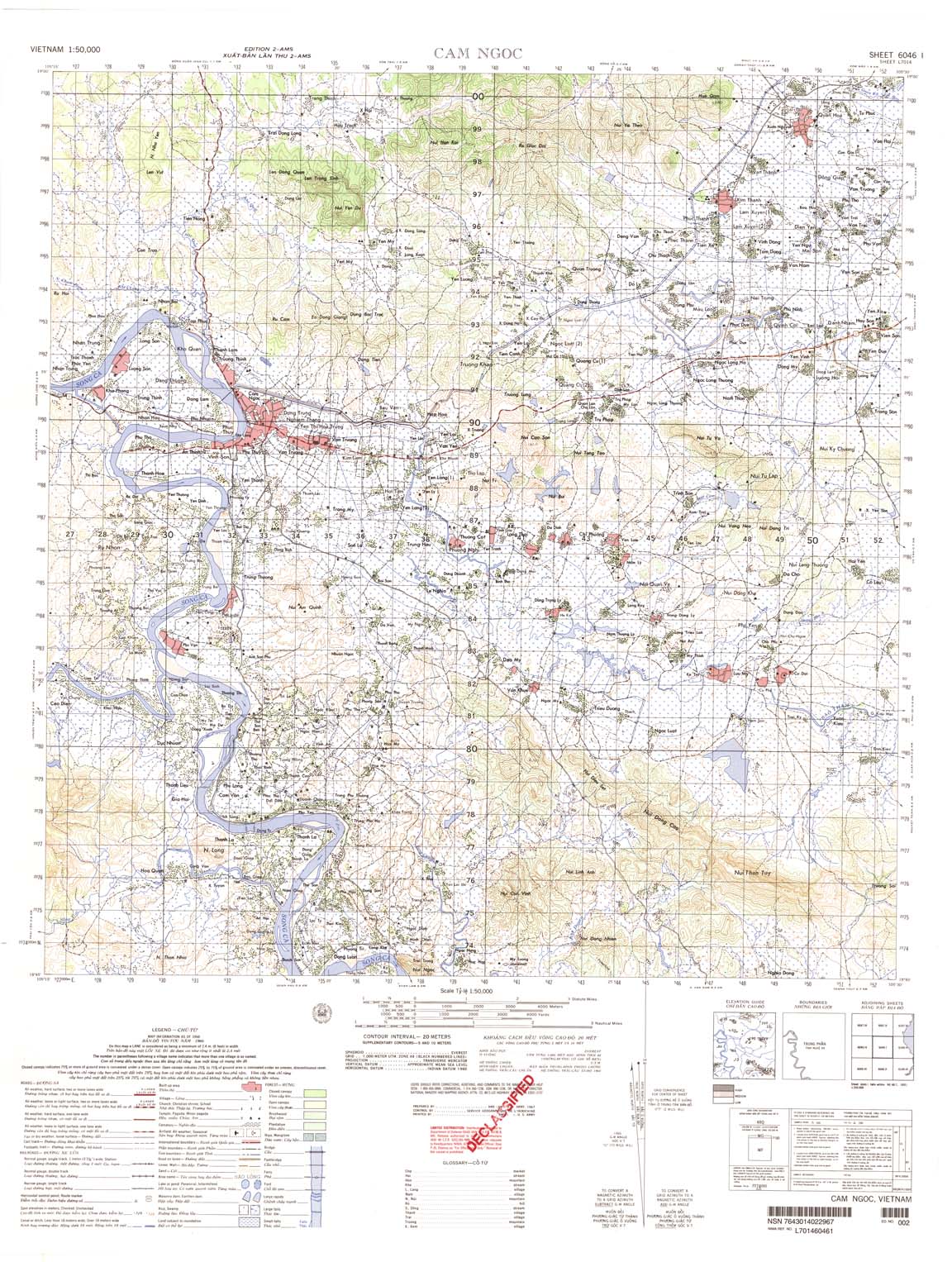
| Cam Ngoc | 6046_1 | 1966 | 20 | US Army | 6046_1.jpg | 6046_1.tif | 6046_1.zip |
| Pho Chau | 6046_2 | 1971 | 20 | DMA | 6046_2.jpg | 6046_2.tif | 6046_2.zip |
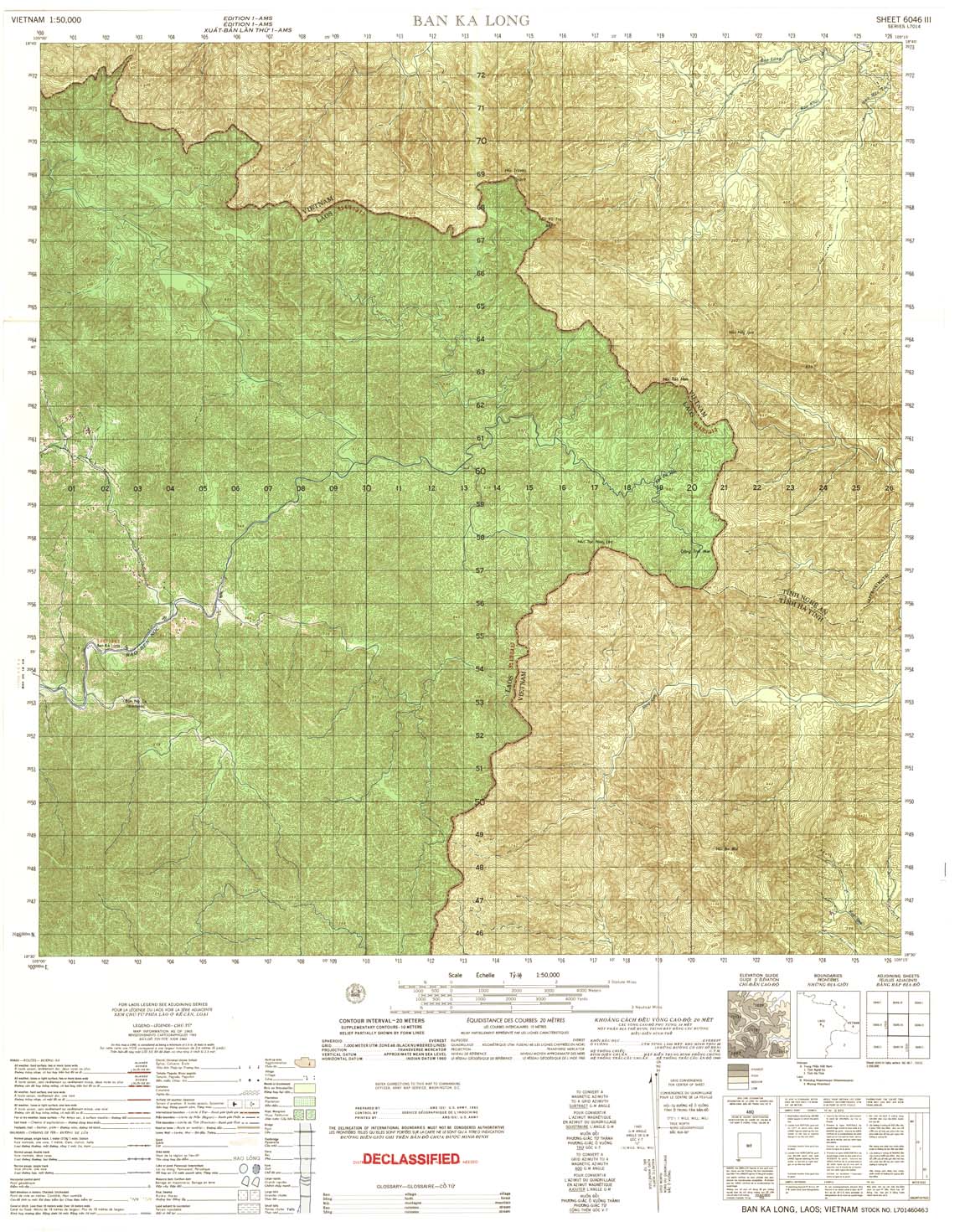
| Ban Ka Long | 6046_3 | 1965 | 20 | US Army | 6046_3.jpg | 6046_3.tif | 6046_3.zip |
| Tri Le | 6046_4 | 1965 | 20 | US Army | 6046_4.jpg | 6046_4.tif | 6046_4.zip |
| Nghia Hung | 6047_1 | 1966 | 20 | US Army | 6047_1.jpg | 6047_1.tif | 6047_1.zip |
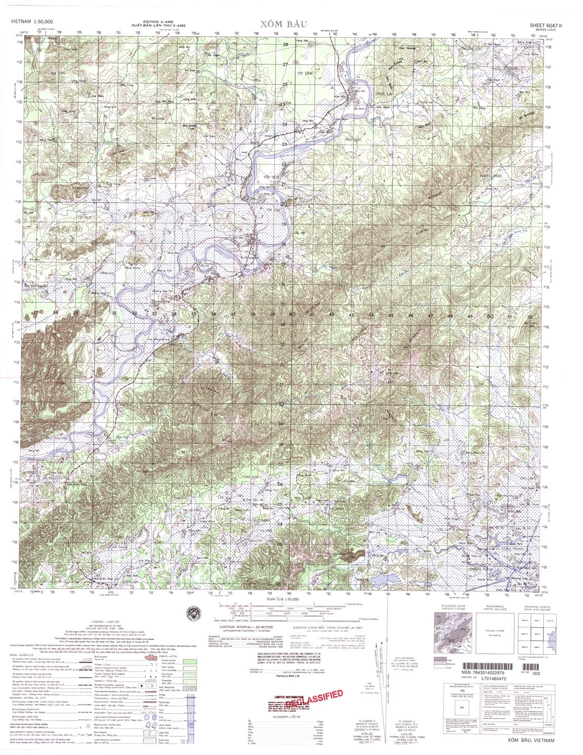
| Xom Bau | 6047_2 | 1966 | 20 | NIMA | 6047_2.jpg | 6047_2.tif | 6047_2.zip |
| Lang Rao | 6047_3 | 1965 | 20 | US Army | 6047_3.jpg | 6047_3.tif | 6047_3.zip |
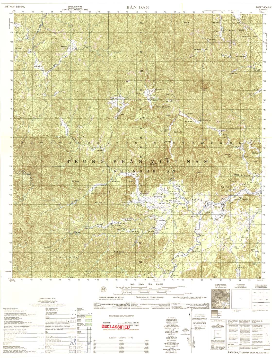
| Ban Dan | 6047_4 | 1965 | 20 | US Army | 6047_4.jpg | 6047_4.tif | 6047_4.zip |
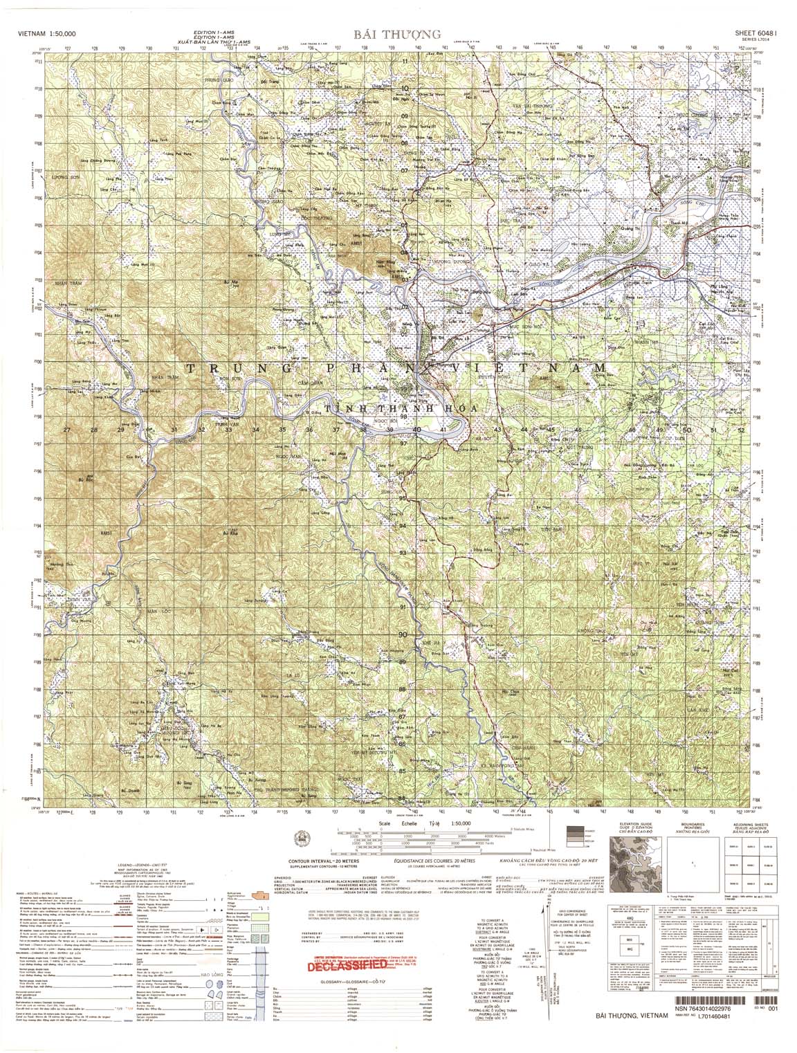
| Bai Thuong | 6048_1 | 1965 | 20 | US Army | 6048_1.jpg | 6048_1.tif | 6048_1.zip |
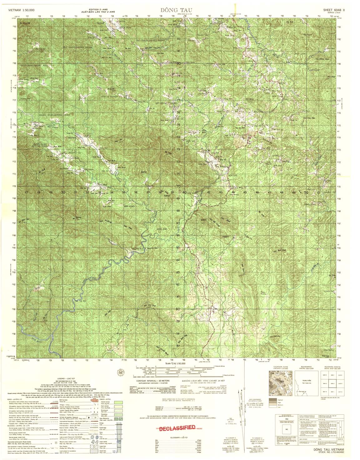
| Dong Tau | 6048_2 | 1966 | 20 | US Army | 6048_2.jpg | 6048_2.tif | 6048_2.zip |
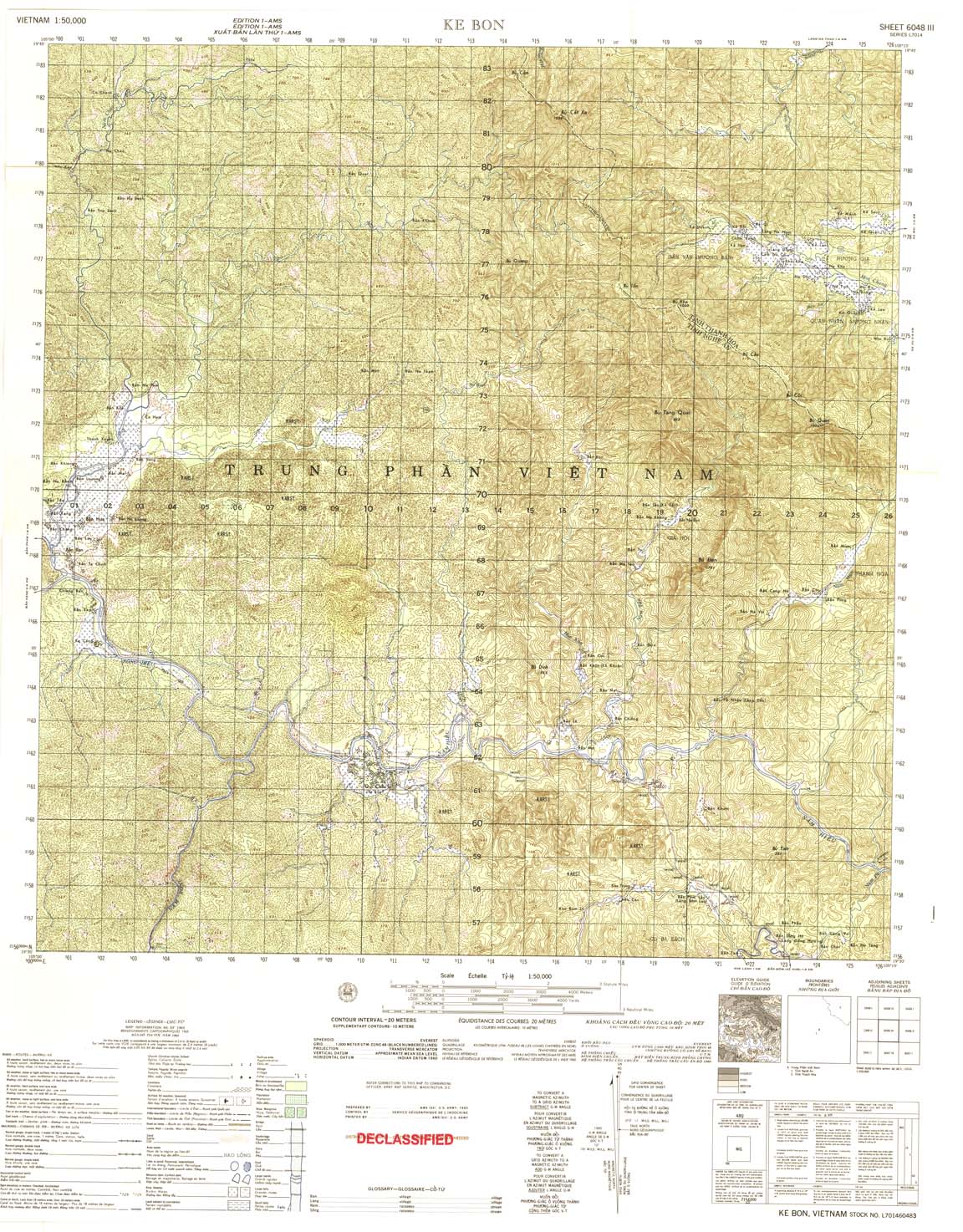
| Ke Bon | 6048_3 | 1965 | 20 | US Army | 6048_3.jpg | 6048_3.tif | 6048_3.zip |
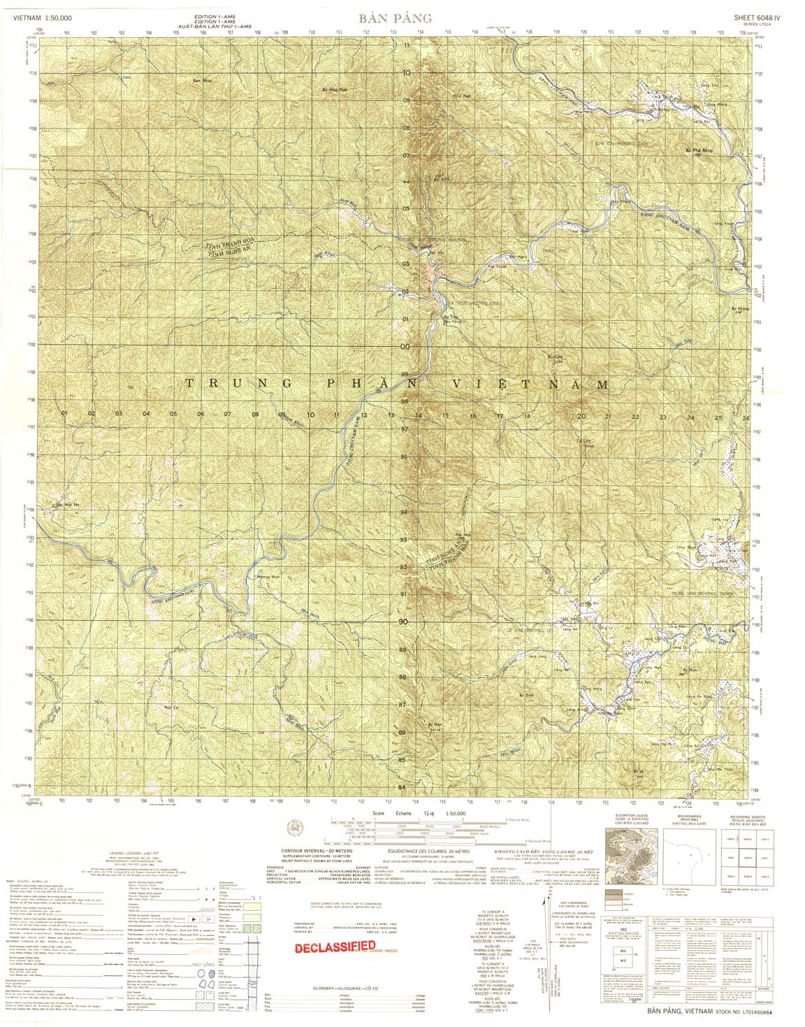
| Ban Pang | 6048_4 | 1965 | 20 | US Army | 6048_4.jpg | 6048_4.tif | 6048_4.zip |
| Lang Be | 6049_1 | 1964 | 20 | DMA | 6049_1.jpg | 6049_1.tif | 6049_1.zip |
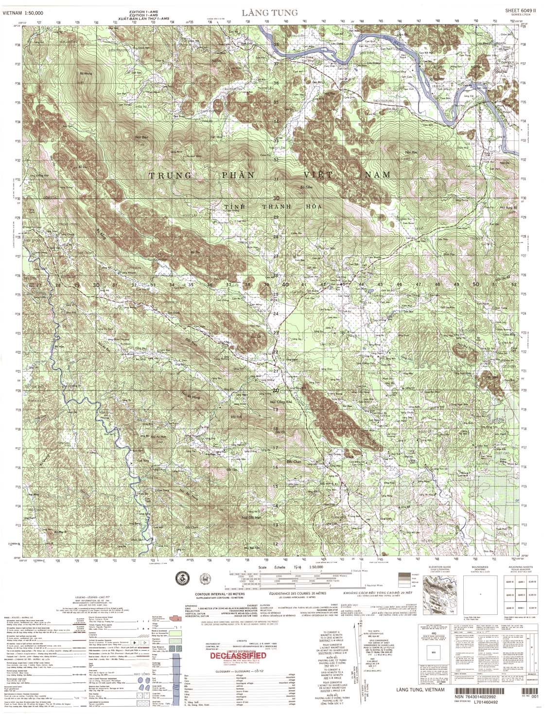
| Lang Tung | 6049_2 | 1964 | 20 | DMA | 6049_2.jpg | 6049_2.tif | 6049_2.zip |
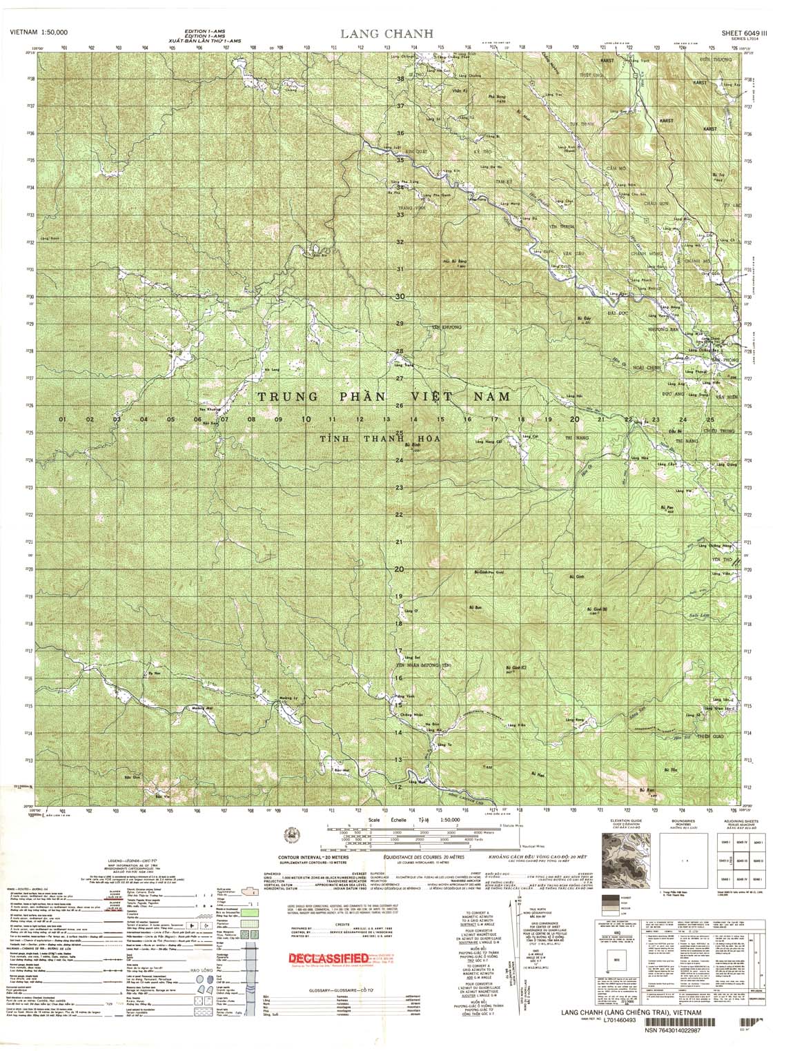
| Lang Chanh | 6049_3 | 1964 | 20 | US Army | 6049_3.jpg | 6049_3.tif | 6049_3.zip |
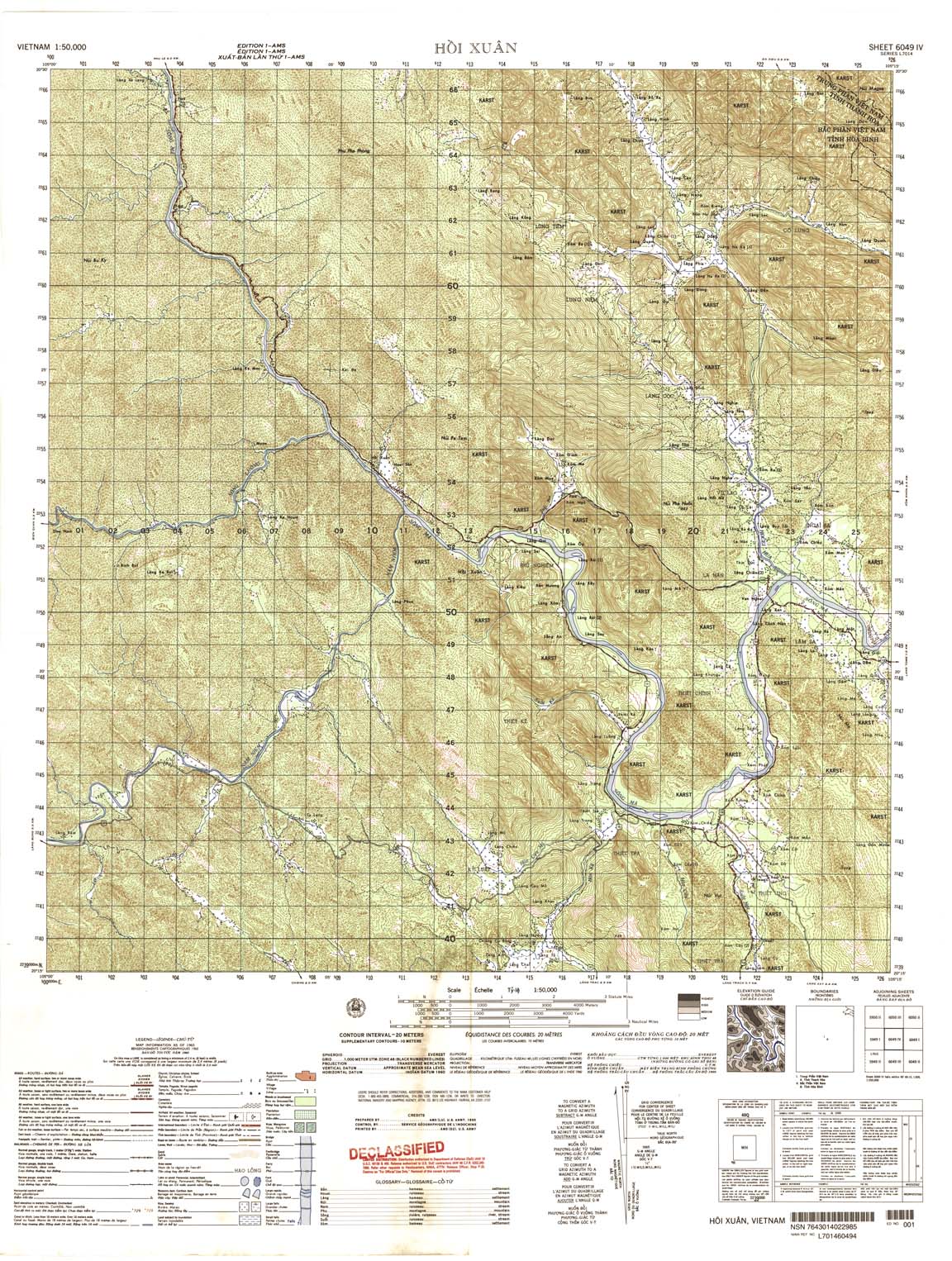
| Hoi Xuan | 6049_4 | 1965 | 20 | US Army | 6049_4.jpg | 6049_4.tif | 6049_4.zip |
| Hoa Binh | 6050_1 | 1966 | 20 | US Army | 6050_1.jpg | 6050_1.tif | 6050_1.zip |
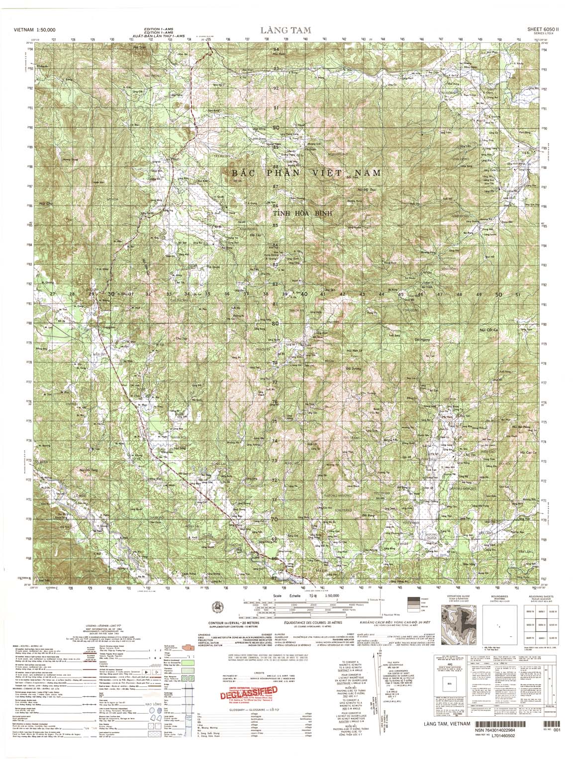
| Lang Tam | 6050_2 | 1964 | 20 | US Army | 6050_2.jpg | 6050_2.tif | 6050_2.zip |
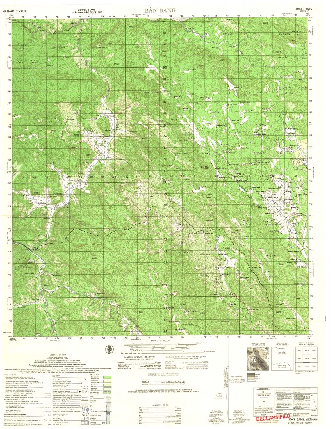
| Ban Bang | 6050_3 | 1966 | 20 | US Army | 6050_3.jpg | 6050_3.tif | 6050_3.zip |
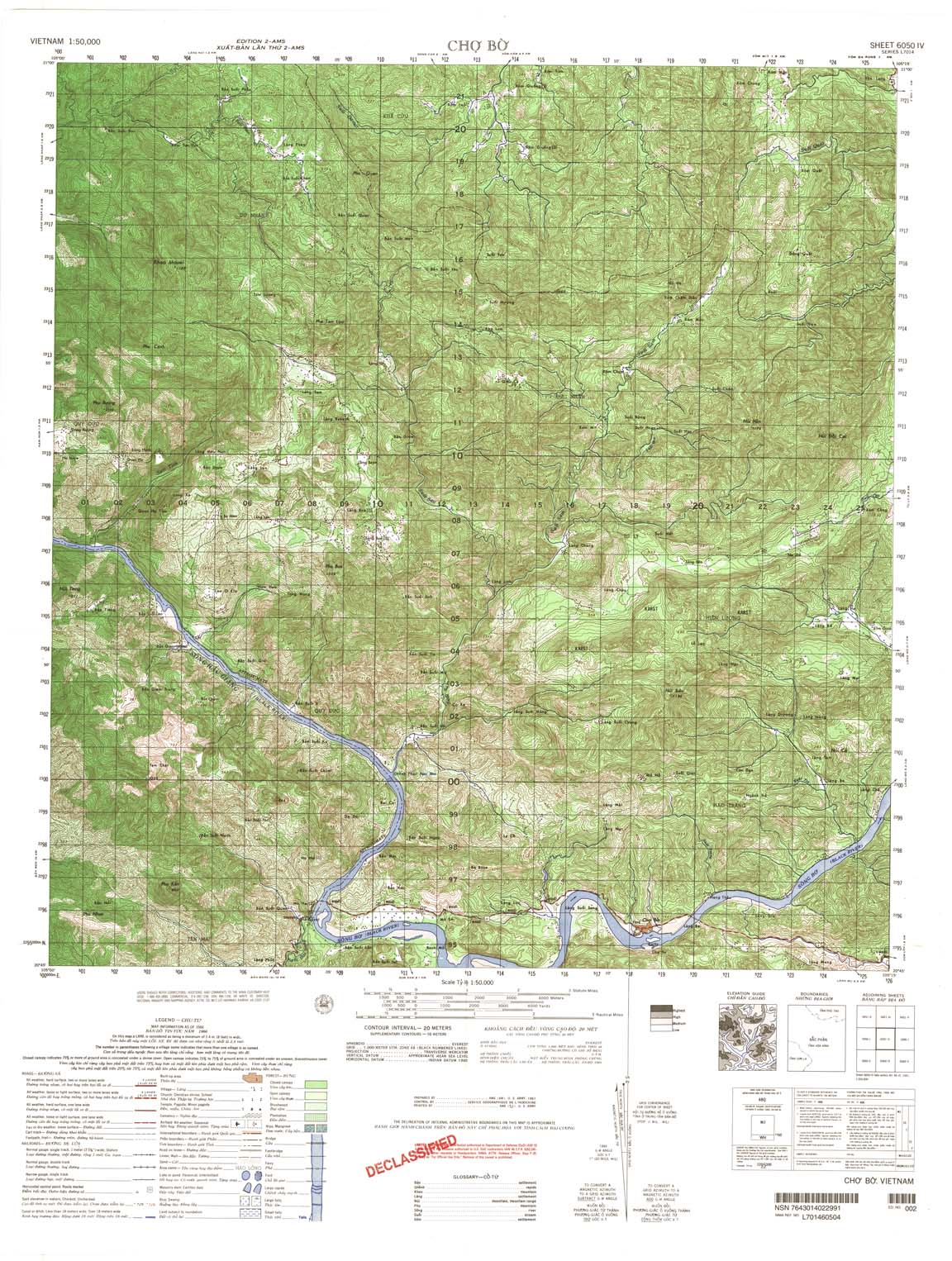
| Cho Bo | 6050_4 | 1966 | 20 | US Army | 6050_4.jpg | 6050_4.tif | 6050_4.zip |
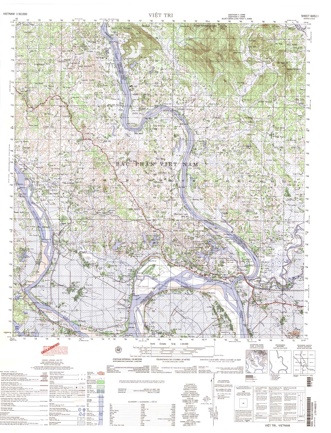
| Viet Tri | 6051_1 | 1965 | 20 | US Army | 6051_1.jpg | 6051_1.tif | 6051_1.zip |
| Hoang Xa | 6051_2 | 1965 | 20 | US Army | 6051_2.jpg | 6051_2.tif | 6051_2.zip |
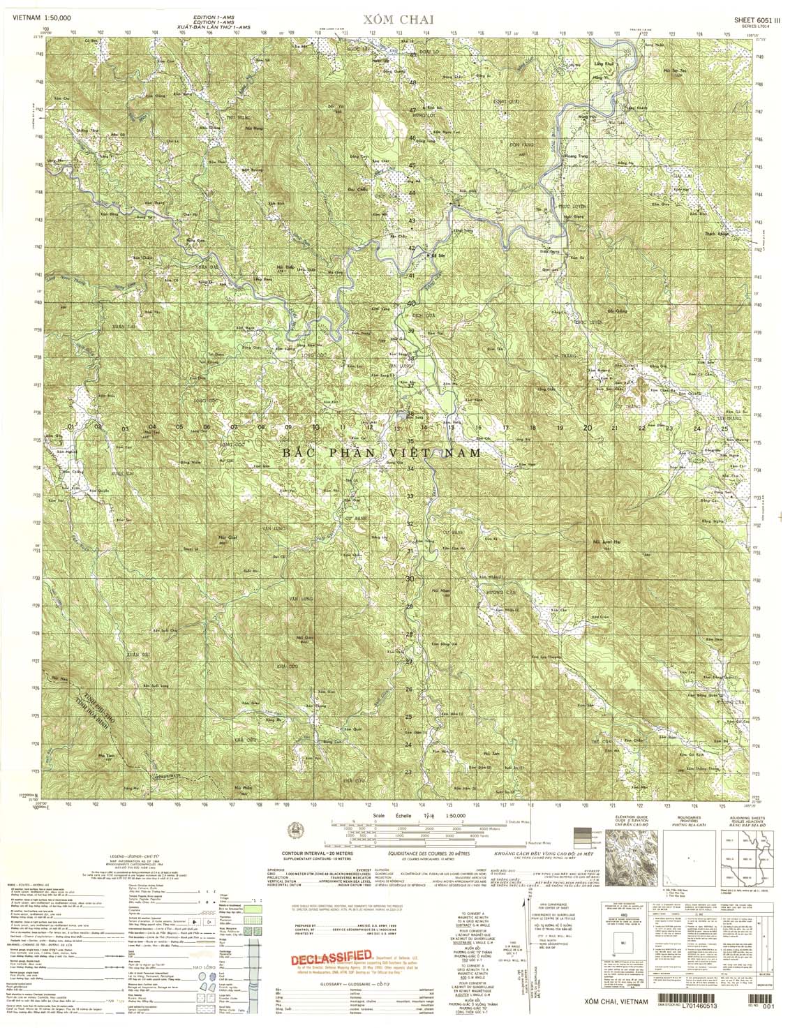
| Xom Chai | 6051_3 | 1964 | 20 | US Army | 6051_3.jpg | 6051_3.tif | 6051_3.zip |
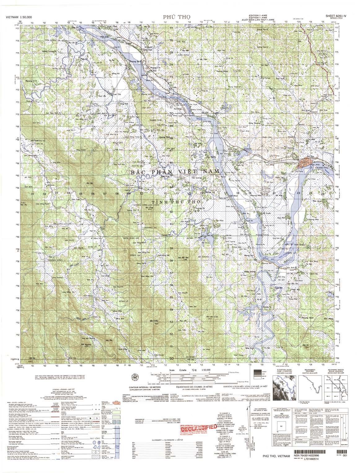
| Phu Tho | 6051_4 | 1964 | 20 | US Army | 6051_4.jpg | 6051_4.tif | 6051_4.zip |
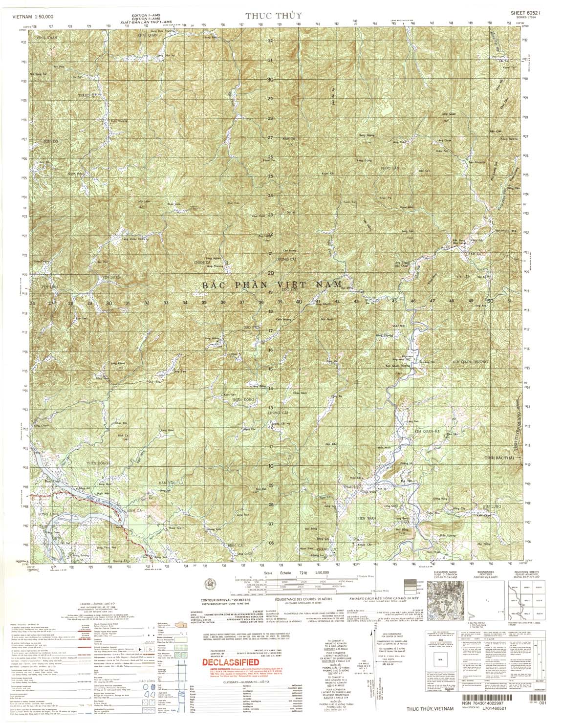
| Thuc Thuy | 6052_1 | 1964 | 20 | US Army | 6052_1.jpg | 6052_1.tif | 6052_1.zip |
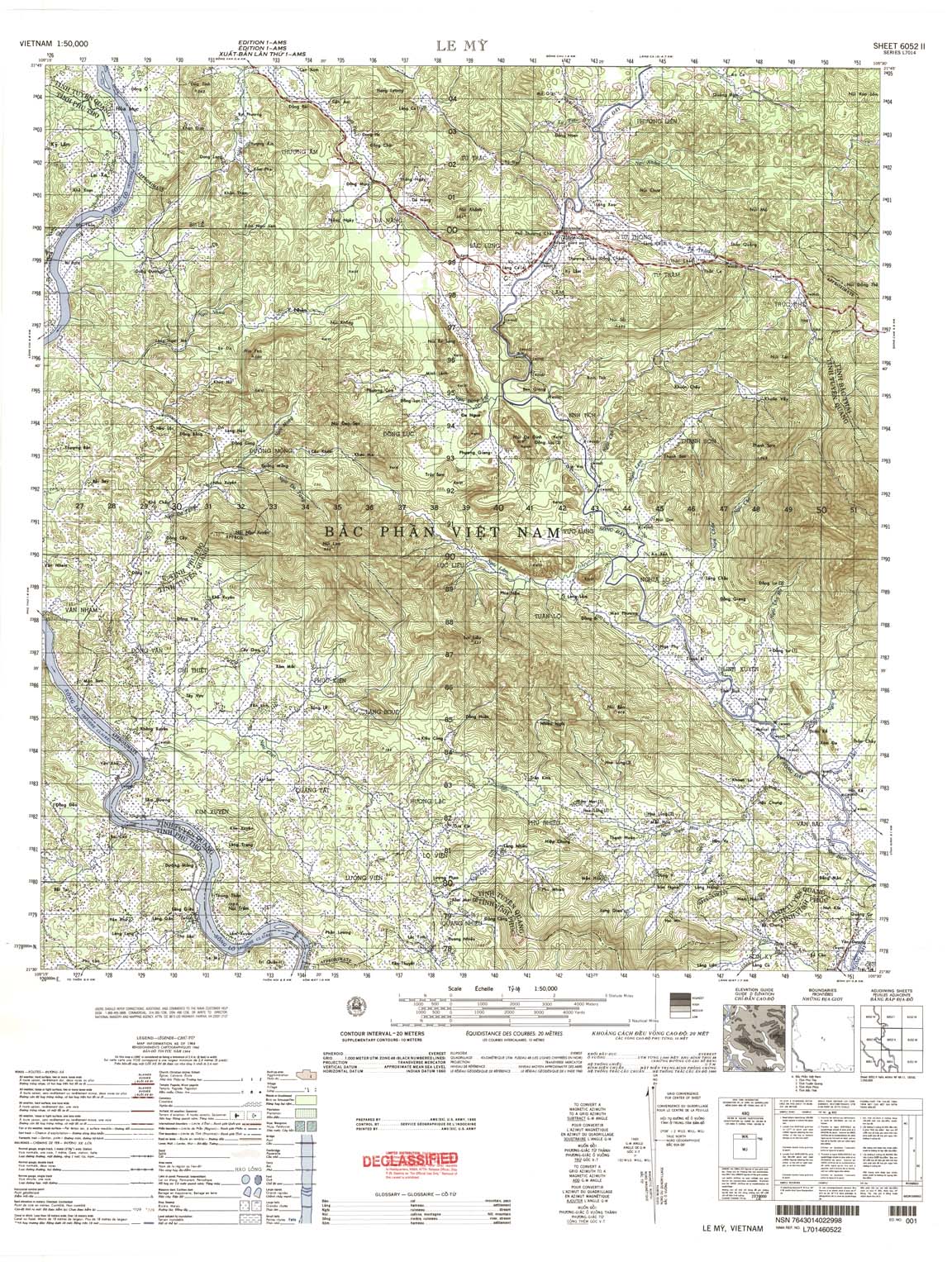
| Le My | 6052_2 | 1964 | 20 | US Army | 6052_2.jpg | 6052_2.tif | 6052_2.zip |
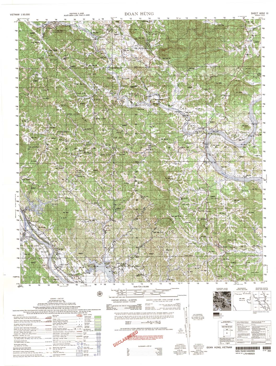
| Doan Hung | 6052_3 | 1966 | 20 | US Army | 6052_3.jpg | 6052_3.tif | 6052_3.zip |
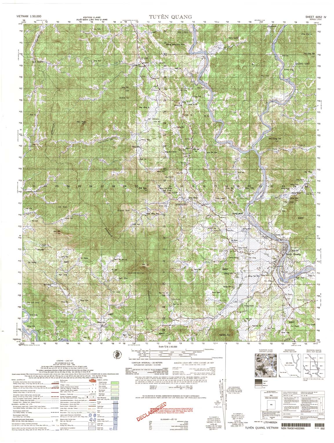
| Tuyen Quang | 6052_4 | 1966 | 20 | US Army | 6052_4.jpg | 6052_4.tif | 6052_4.zip |
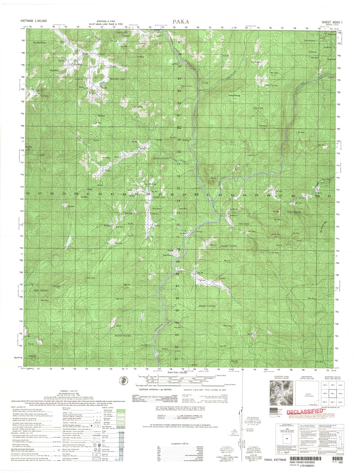
| Paka | 6053_1 | 1968 | 40 | US Army | 6053_1.jpg | 6053_1.tif | 6053_1.zip |
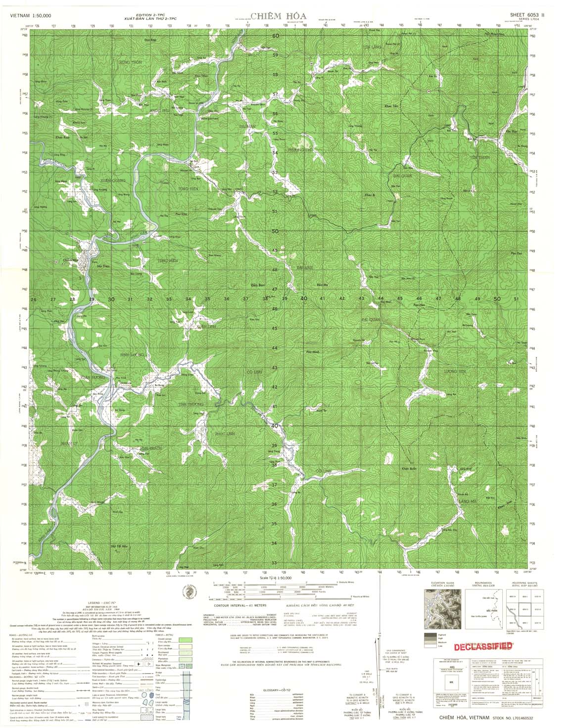
| Chiem Hoa | 6053_2 | 1968 | 40 | US Army | 6053_2.jpg | 6053_2.tif | 6053_2.zip |
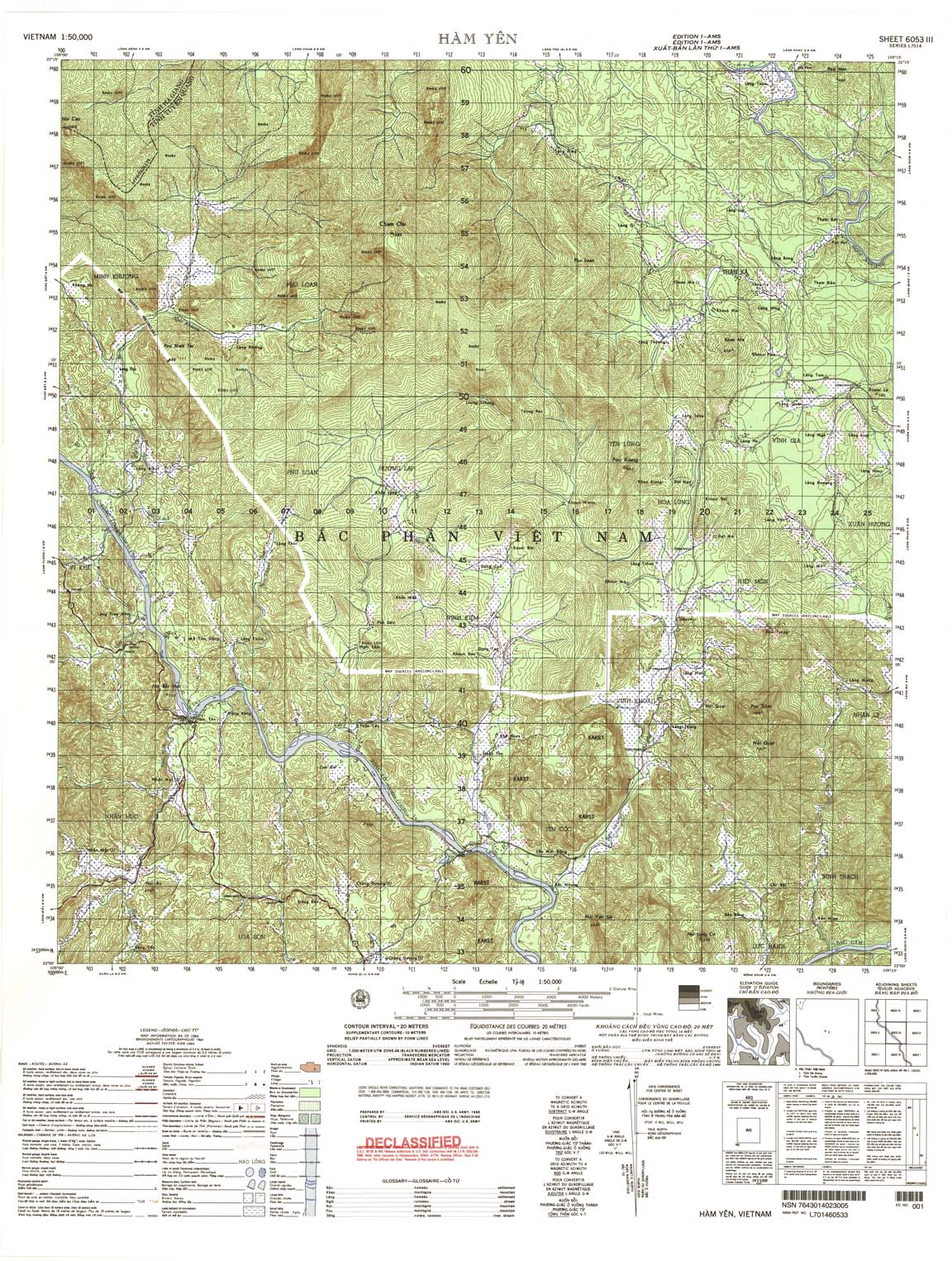
| Ham Yen | 6053_3 | 1964 | 20 | US Army | 6053_3.jpg | 6053_3.tif | 6053_3.zip |
| Lang Dat | 6053_4 | 1971 | 40 | DMA | 6053_4.jpg | 6053_4.tif | 6053_4.zip |
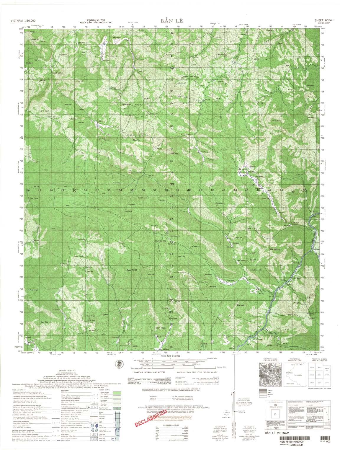
| Ban Le | 6054_1 | 1968 | 40 | US Army | 6054_1.jpg | 6054_1.tif | 6054_1.zip |
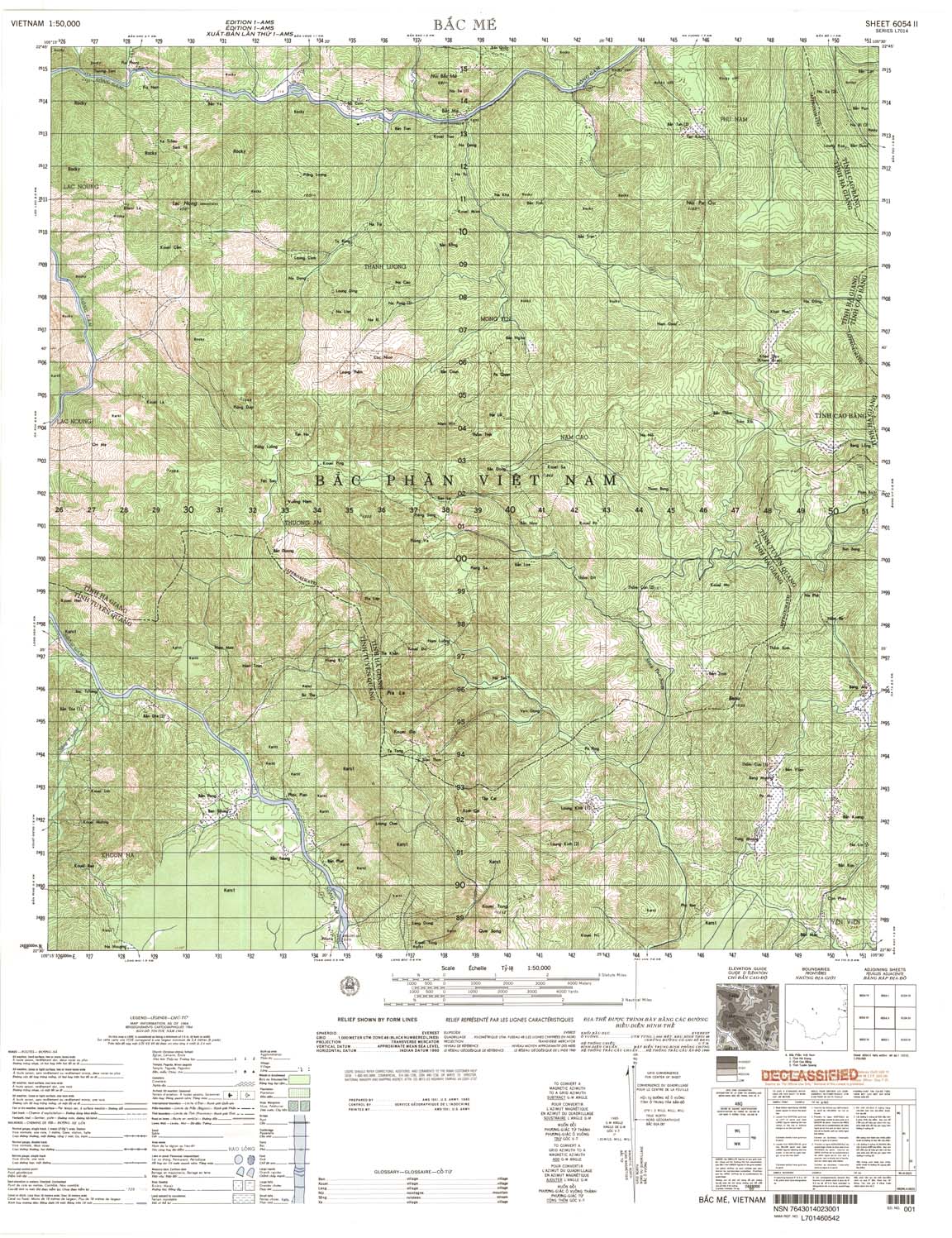
| Bac Me | 6054_2 | 1964 | US Army | 6054_2.jpg | 6054_2.tif | 6054_2.zip | |
| Na Mong | 6054_3 | 1964 | 20 | US Army | 6054_3.jpg | 6054_3.tif | 6054_3.zip |
| Muong Cha | 6054_4 | 1967 | 40 | NIMA | 6054_4.jpg | 6054_4.tif | 6054_4.zip |
| Na Kung | 6055_2 | 1968 | 40 | US Army | 6055_2.jpg | 6055_2.tif | 6055_2.zip |
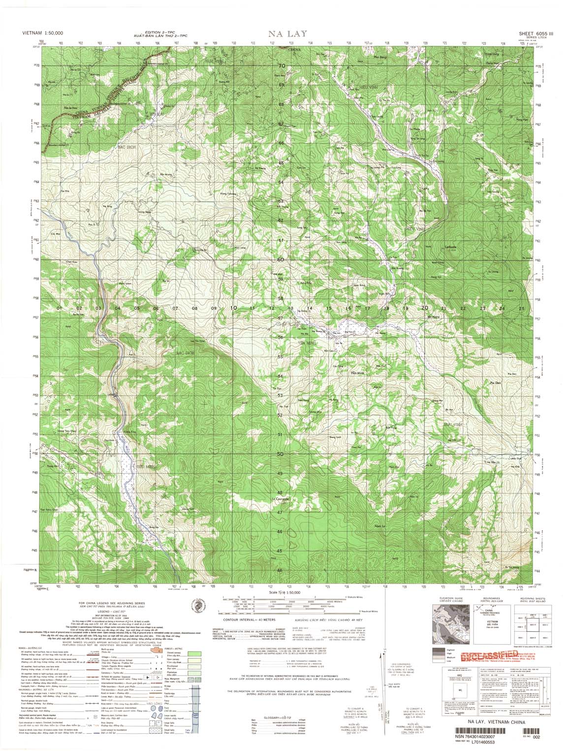
| Na Lay | 6055_3 | 1968 | 40 | US Army | 6055_3.jpg | 6055_3.tif | 6055_3.zip |
| Vinh Chau | 6127_1 | 1970 | US Army | 6127_1.jpg | 6127_1.tif | 6127_1.zip | |
| Giong Giua | 6127_2 | 1965 | US Army | 6127_2.jpg | 6127_2.tif | 6127_2.zip | |
| Vinh My | 6127_3 | 1989 | DMA | 6127_3.jpg | 6127_3.tif | 6127_3.zip | |
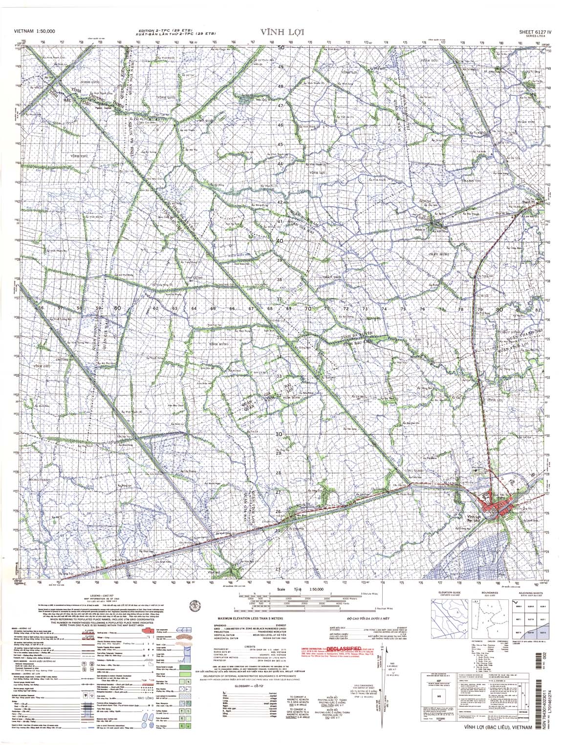
| Vinh Loi | 6127_4 | 1969 | US Army | 6127_4.jpg | 6127_4.tif | 6127_4.zip | |
| 6128_1 | 1965 | US Army | 6128_1.jpg | 6128_1.tif | 6128_1.zip | ||
| Khanh Hung | 6128_2 | 1965 | US Army | 6128_2.jpg | 6128_2.tif | 6128_2.zip | |
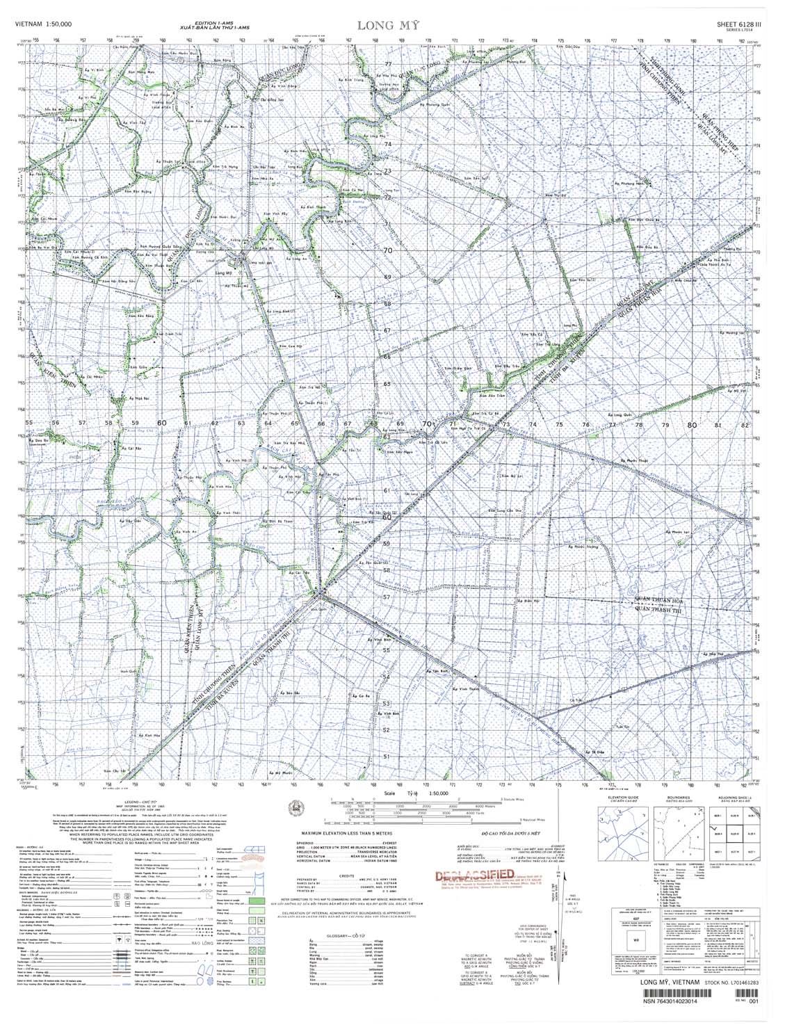
| Long My | 6128_3 | 1965 | US Army | 6128_3.jpg | 6128_3.tif | 6128_3.zip | |
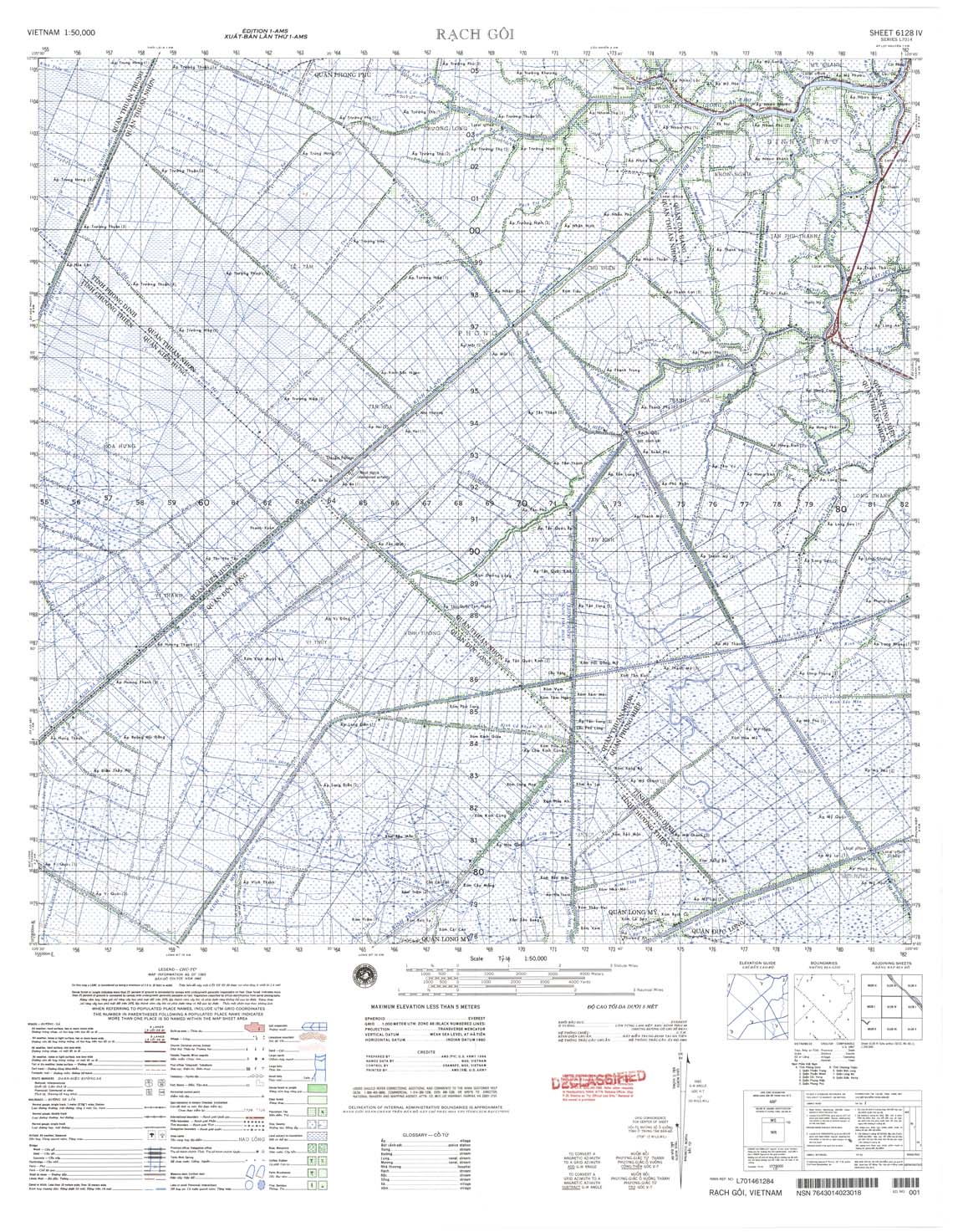
| Rach Goi | 6128_4 | 1965 | US Army | 6128_4.jpg | 6128_4.tif | 6128_4.zip | |
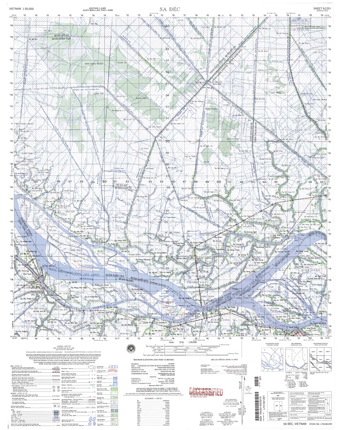
| Sa Dec | 6129_1 | 1965 | NIMA | 6129_1.jpg | 6129_1.tif | 6129_1.zip | |
| Can Tho | 6129_2 | 1969 | US Army | 6129_2.jpg | 6129_2.tif | 6129_2.zip | |
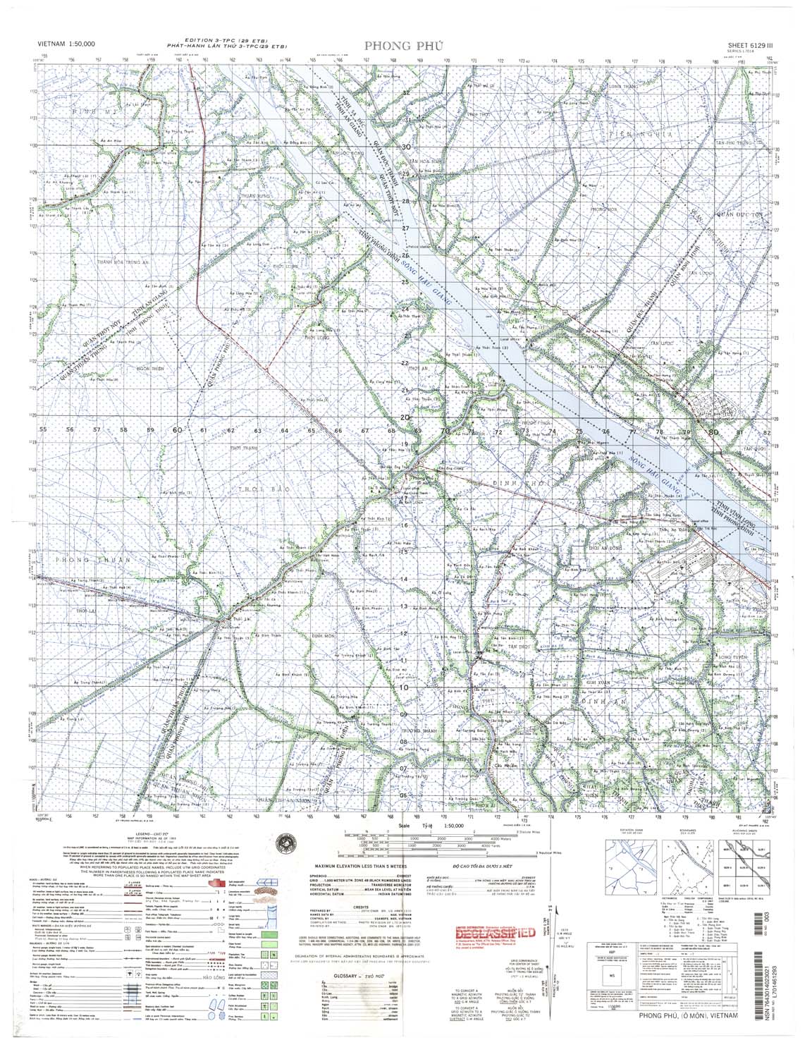
| Phong Phu | 6129_3 | 1969 | US Army | 6129_3.jpg | 6129_3.tif | 6129_3.zip | |
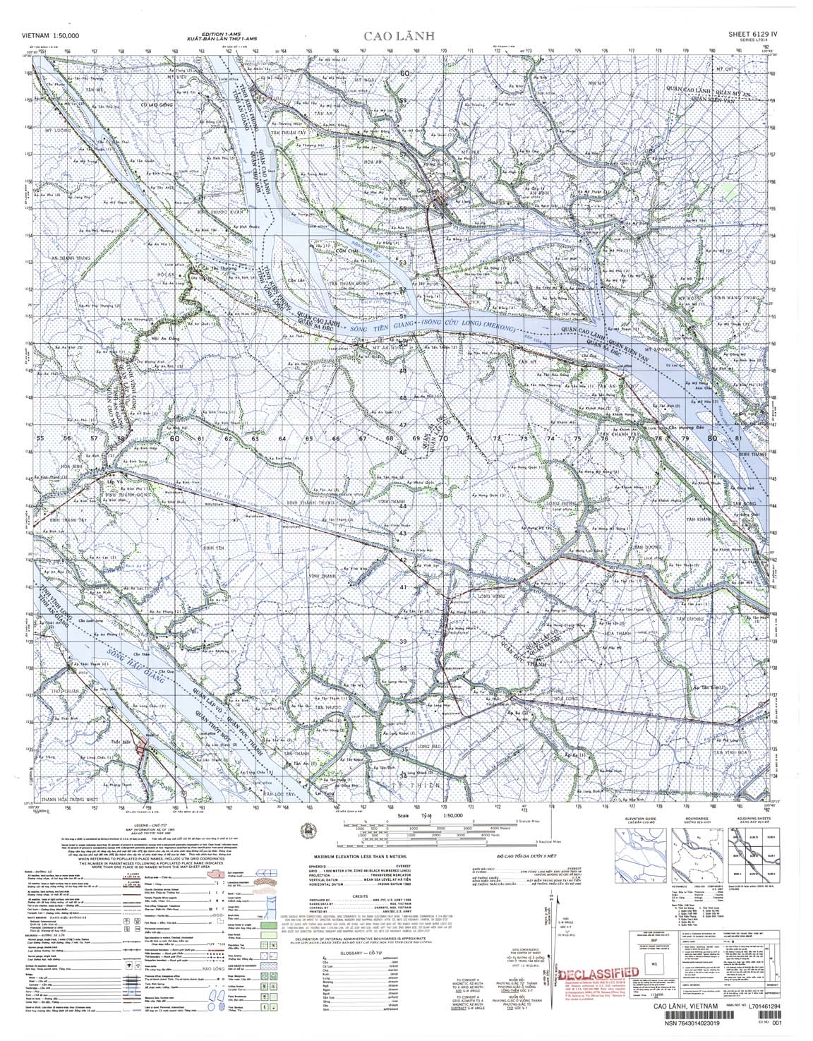
| Cao Lanh | 6129_4 | 1965 | US Army | 6129_4.jpg | 6129_4.tif | 6129_4.zip | |
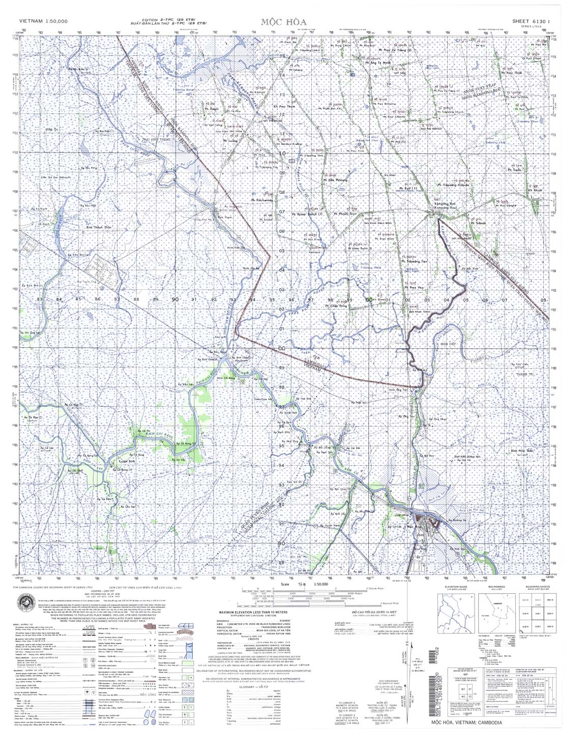
| Moc Hoa | 6130_1 | 1970 | NIMA | 6130_1.jpg | 6130_1.tif | 6130_1.zip | |
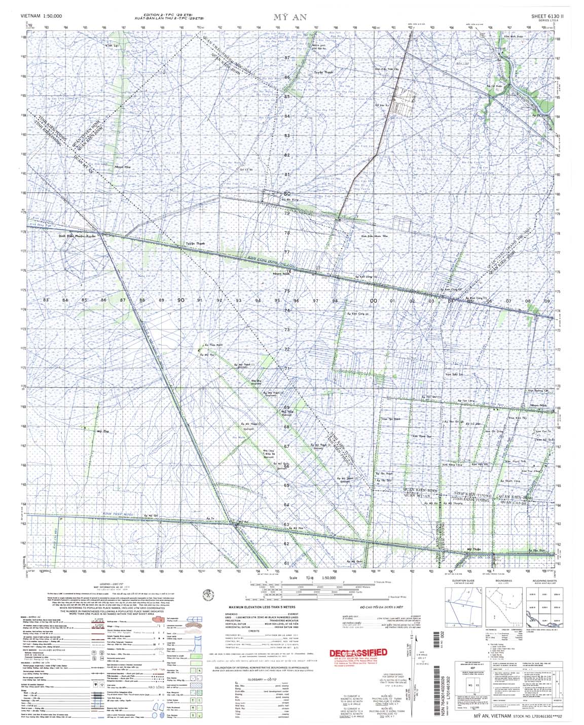
| My An | 6130_2 | 1970 | US Army | 6130_2.jpg | 6130_2.tif | 6130_2.zip | |
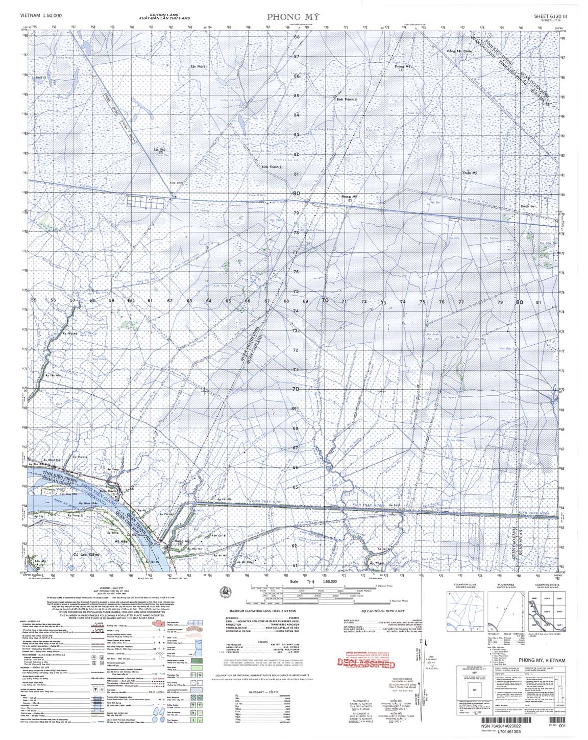
| Phong My | 6130_3 | 1966 | US Army | 6130_3.jpg | 6130_3.tif | 6130_3.zip | |
| Vinh Thanh | 6130_4 | 1965 | US Army | 6130_4.jpg | 6130_4.tif | 6130_4.zip | |
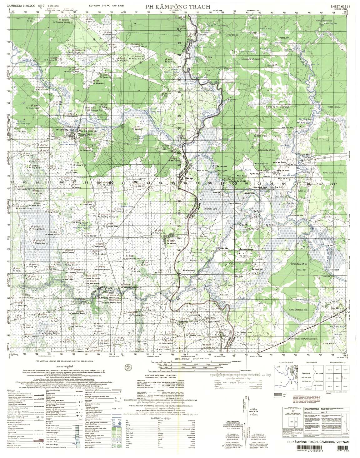
| Ph Kampong Trach | 6131_1 | 1970 | 10 | US Army | 6131_1.jpg | 6131_1.tif | 6131_1.zip |
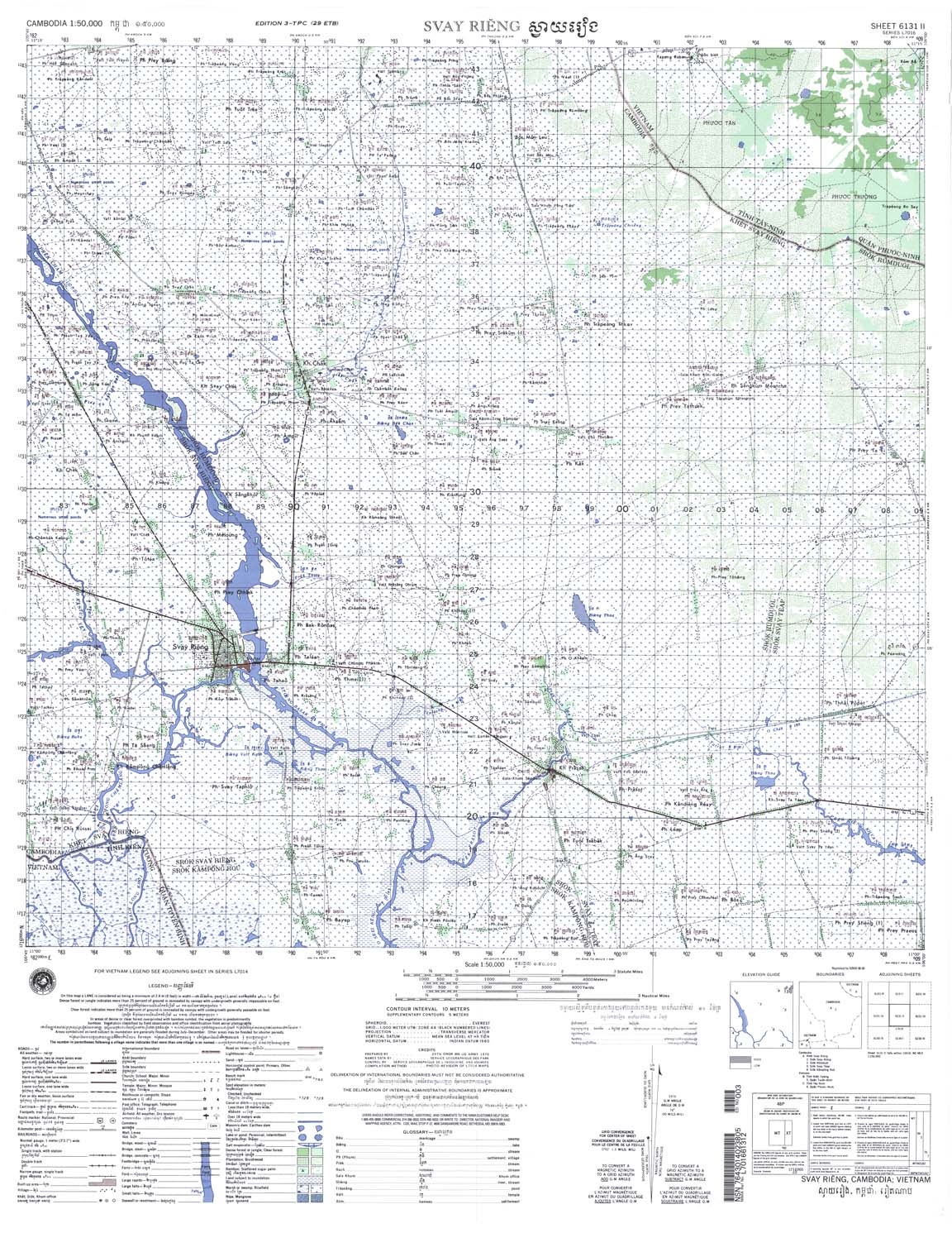
| Svay Rieng | 6131_2 | 10 | US Army | 6131_2.jpg | 6131_2.tif | 6131_2.zip | |
| Prey Nhay | 6131_3 | 1994 | 15 | NIMA | 6131_3.jpg | 6131_3.tif | 6131_3.zip |
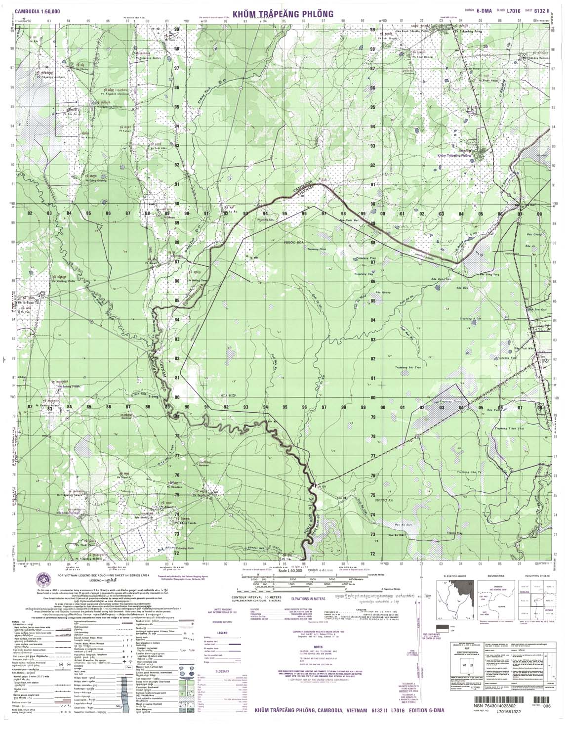
| Khum Trapeang | 6132_2 | 10 | NIMA | 6132_2.jpg | 6132_2.tif | 6132_2.zip | |
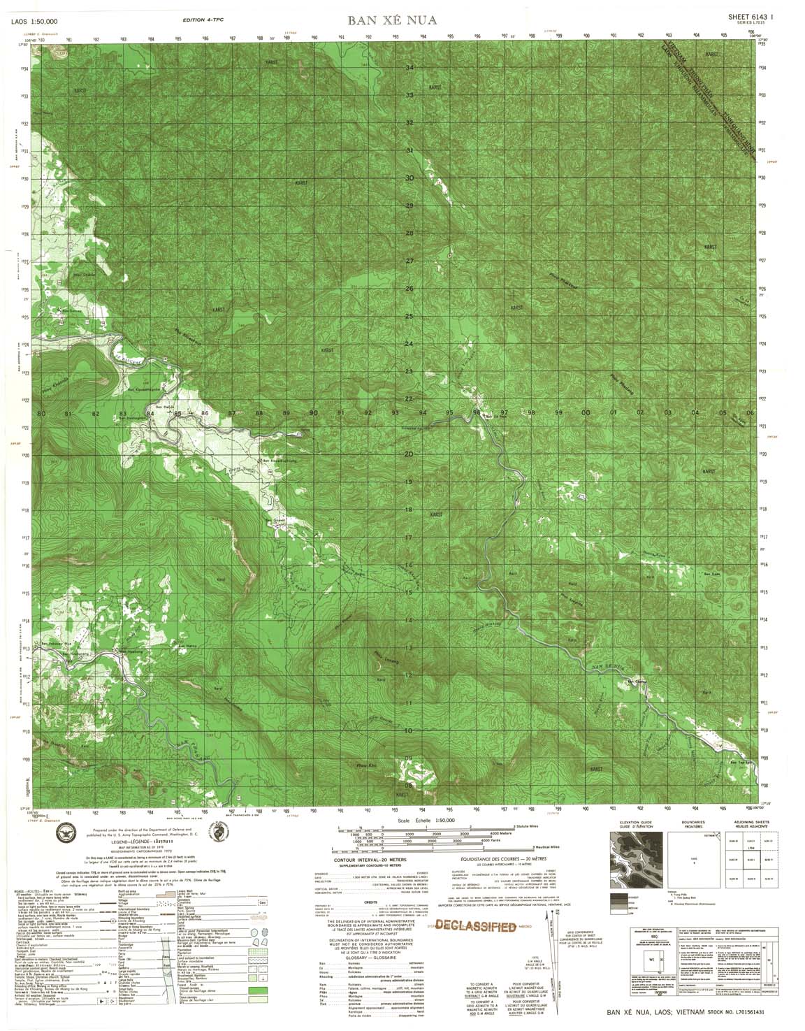
| Ban Xe Nua | 6143_1 | 1970 | 20 | US Army | 6143_1.jpg | 6143_1.tif | 6143_1.zip |
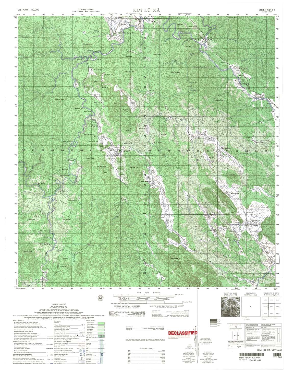
| Kim Lu Xa | 6144_1 | 1967 | 40 | US Army | 6144_1.jpg | 6144_1.tif | 6144_1.zip |
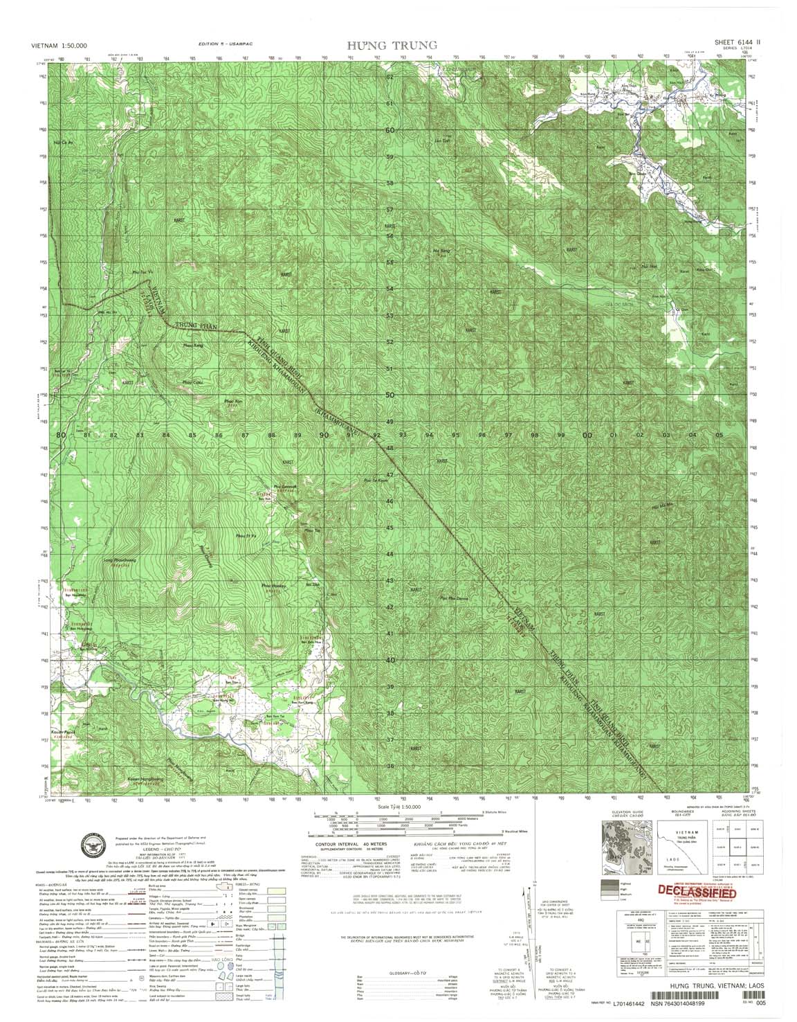
| Hung Trung | 6144_2 | 1971 | 40 | US Army | 6144_2.jpg | 6144_2.tif | 6144_2.zip |
| Ban Nathin | 6144_3 | 1970 | 20 | NIMA | 6144_3.jpg | 6144_3.tif | 6144_3.zip |
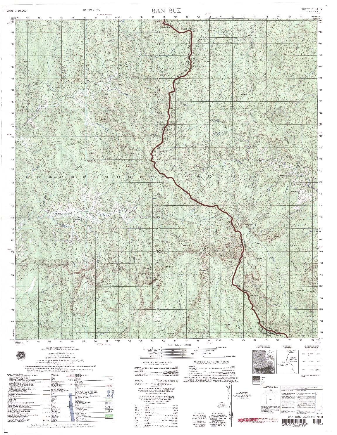
| Ban Buk | 6144_4 | 1969 | 40 | US Army | 6144_4.jpg | 6144_4.tif | 6144_4.zip |
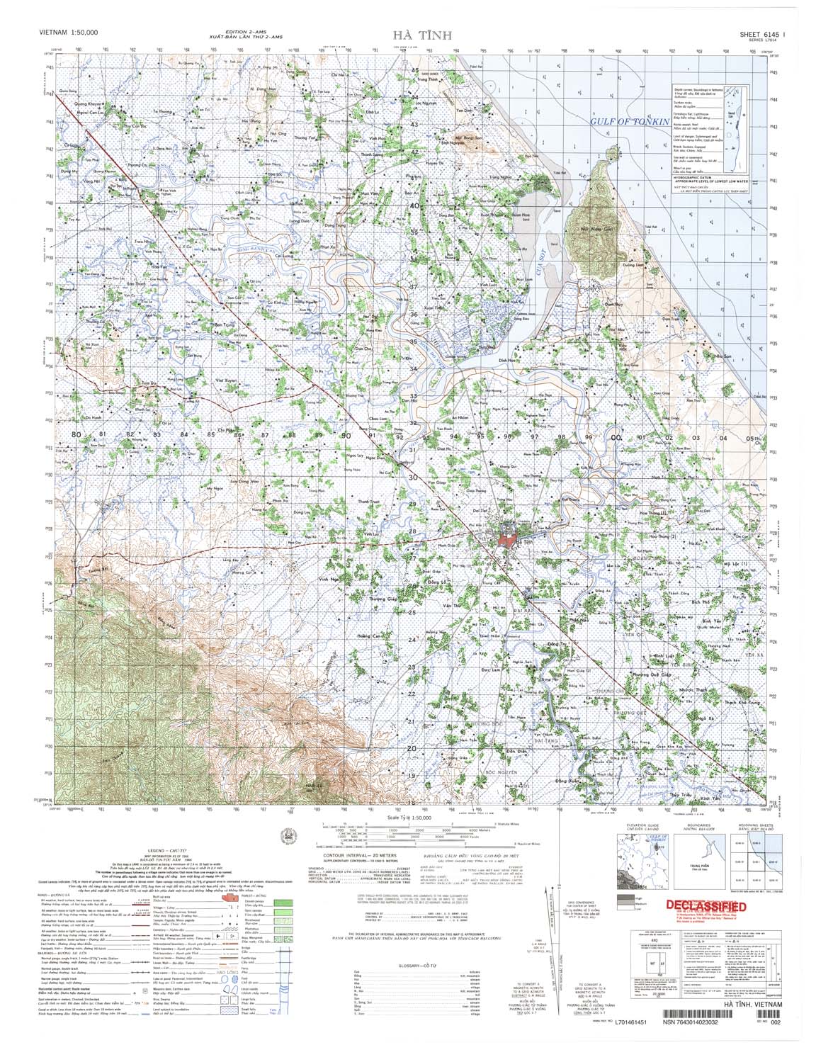
| Ha Tinh | 6145_1 | 1966 | 20 | US Army | 6145_1.jpg | 6145_1.tif | 6145_1.zip |
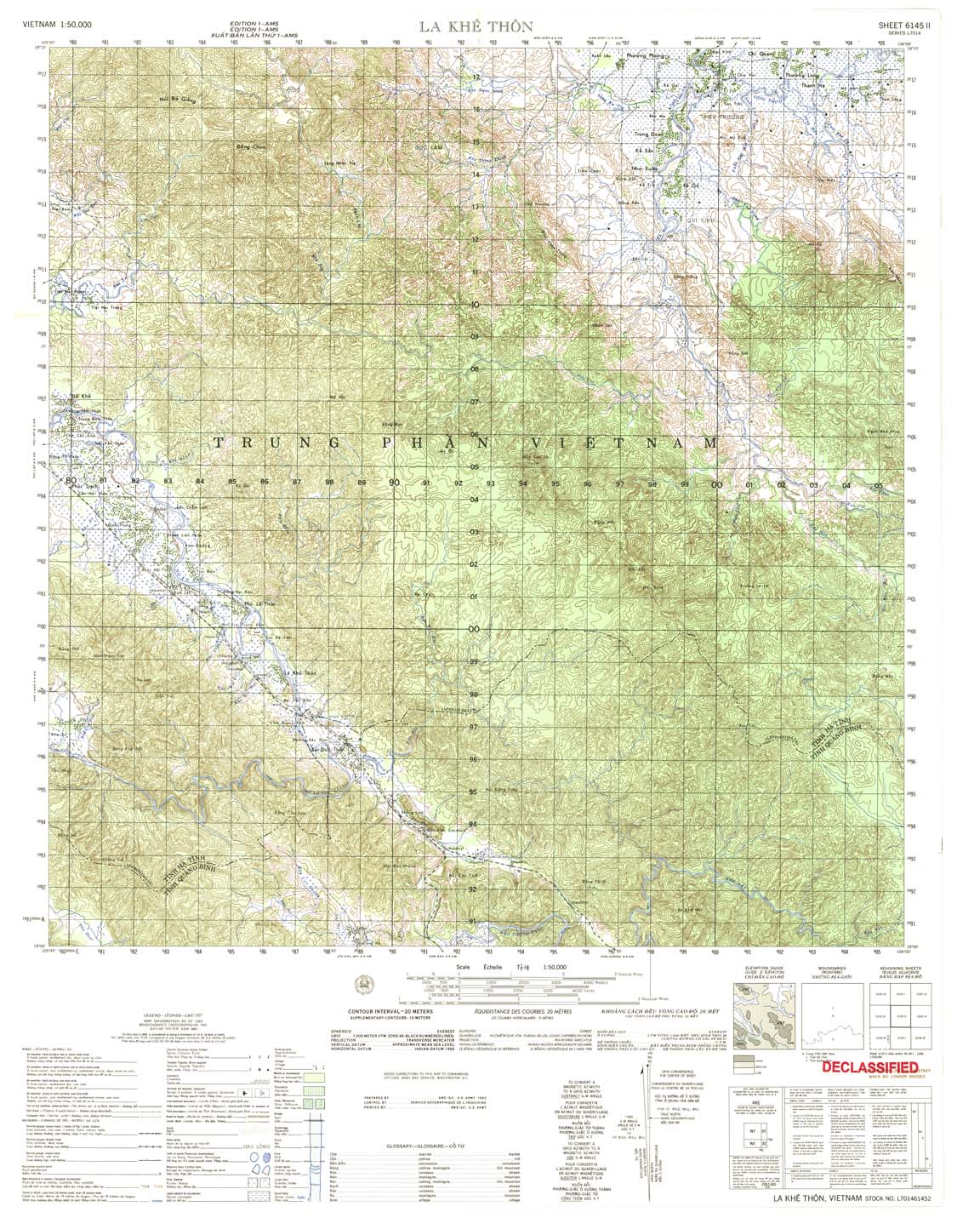
| La Khe Thon | 6145_2 | 1965 | 20 | US Army | 6145_2.jpg | 6145_2.tif | 6145_2.zip |
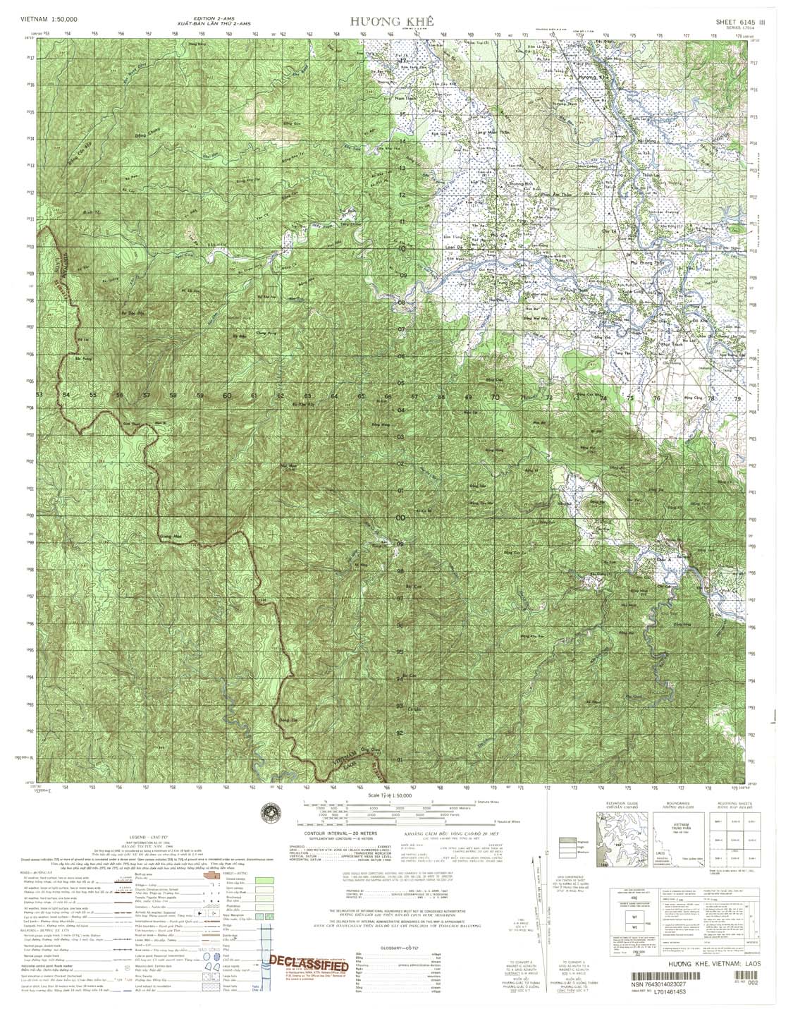
| Huong Khe | 6145_3 | 1966 | 20 | US Army | 6145_3.jpg | 6145_3.tif | 6145_3.zip |
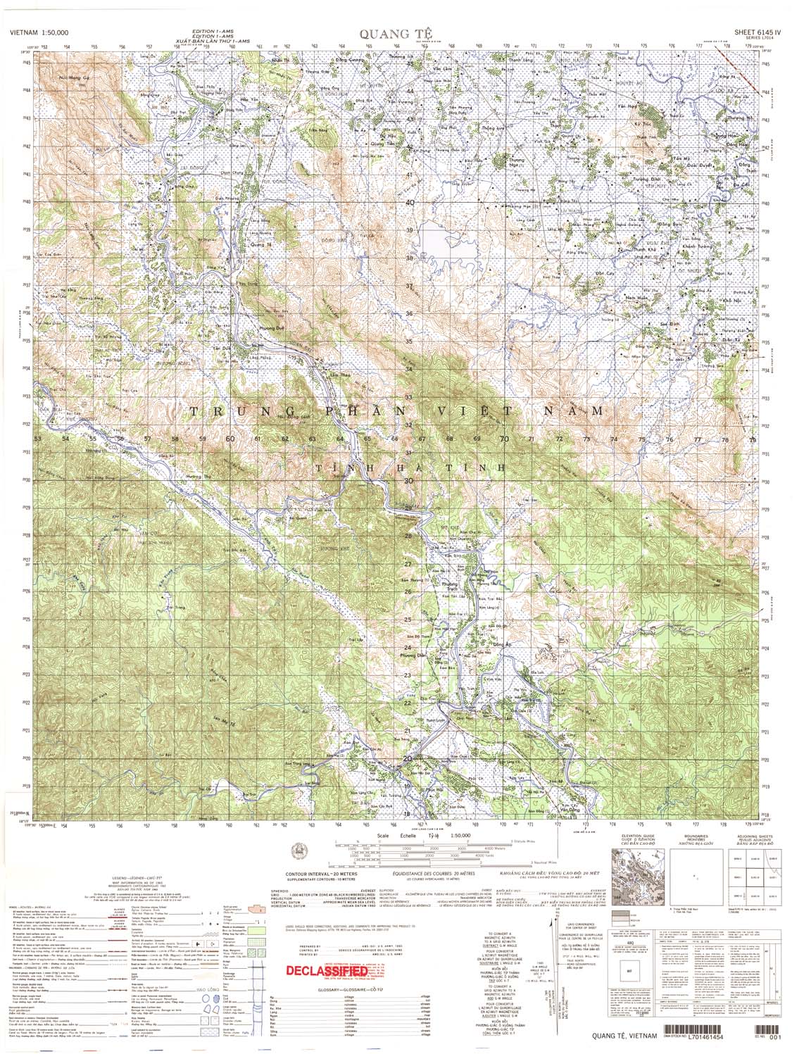
| Quang Te | 6145_4 | 1965 | 20 | US Army | 6145_4.jpg | 6145_4.tif | 6145_4.zip |
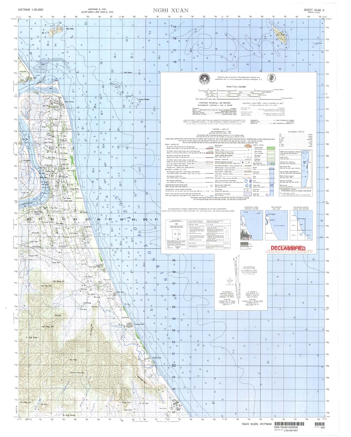
| Nghi Xuan | 6146_2 | 1966 | 20 | US Army | 6146_2.jpg | 6146_2.tif | 6146_2.zip |
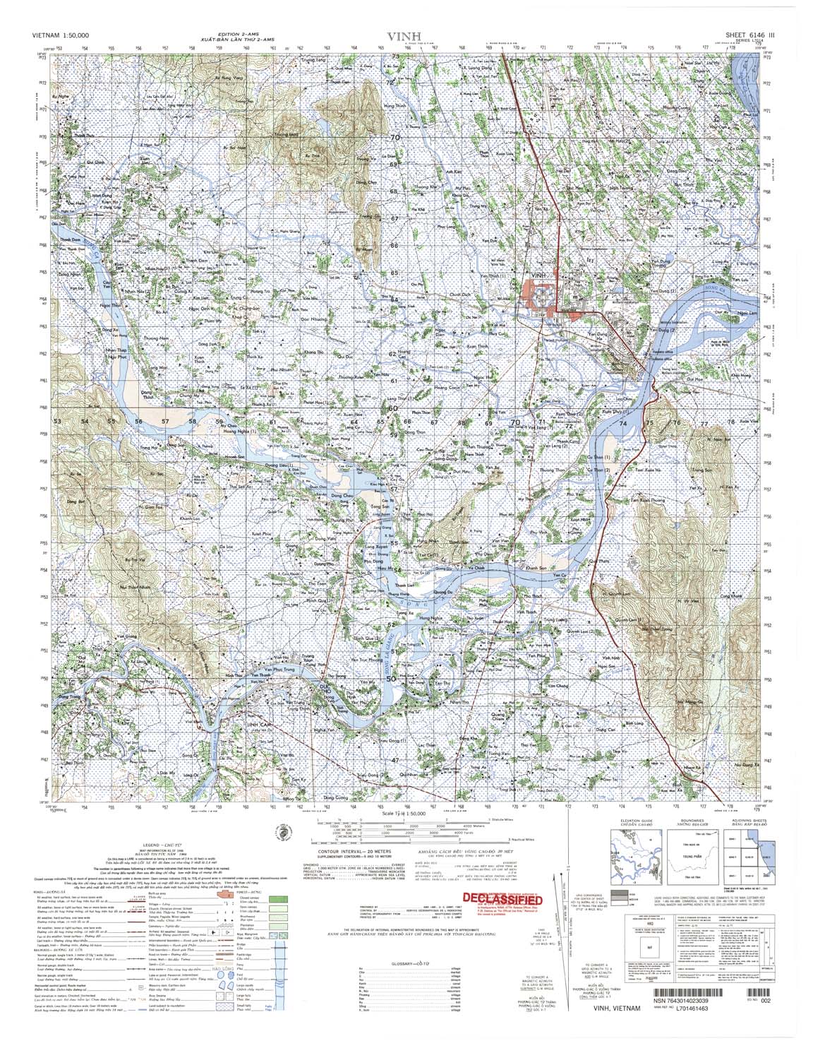
| Vinh | 6146_3 | 1966 | 20 | US Army | 6146_3.jpg | 6146_3.tif | 6146_3.zip |
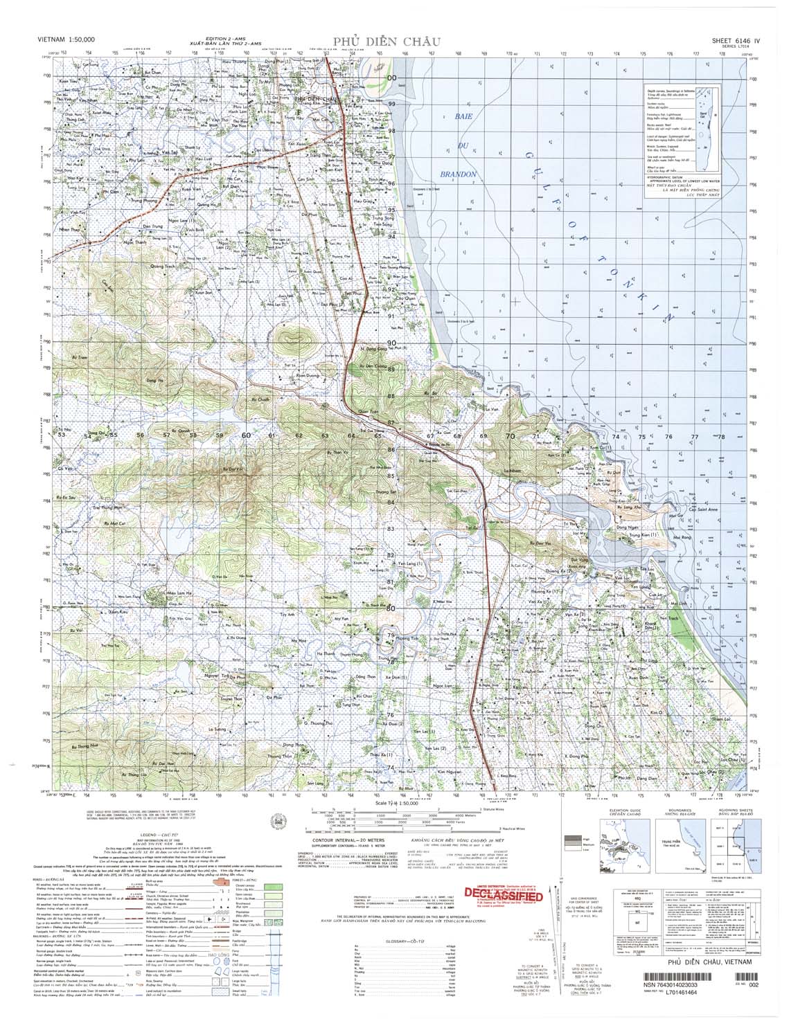
| Phu Dien Chau | 6146_4 | 1966 | 20 | US Army | 6146_4.jpg | 6146_4.tif | 6146_4.zip |
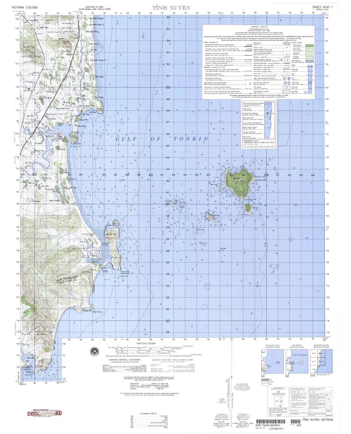
| Tinh Xuyen | 6147_1 | 20 | NIMA | 6147_1.jpg | 6147_1.tif | 6147_1.zip | |
| Cho Giat | 6147_3 | 1966 | 20 | US Army | 6147_3.jpg | 6147_3.tif | 6147_3.zip |
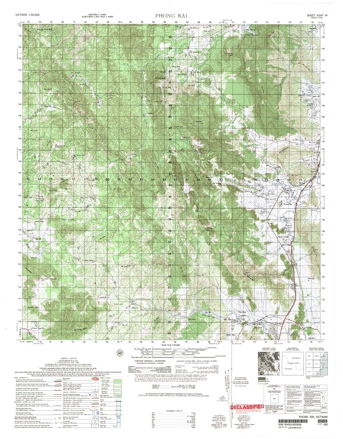
| Phong Bai | 6147_4 | 1966 | 20 | US Army | 6147_4.jpg | 6147_4.tif | 6147_4.zip |
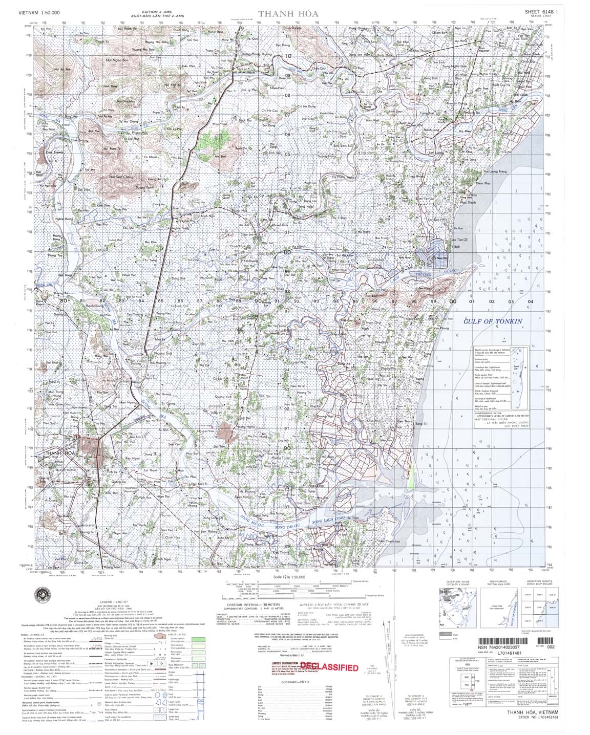
| Thanh Hoa | 6148_1 | 1966 | 20 | NIMA | 6148_1.jpg | 6148_1.tif | 6148_1.zip |
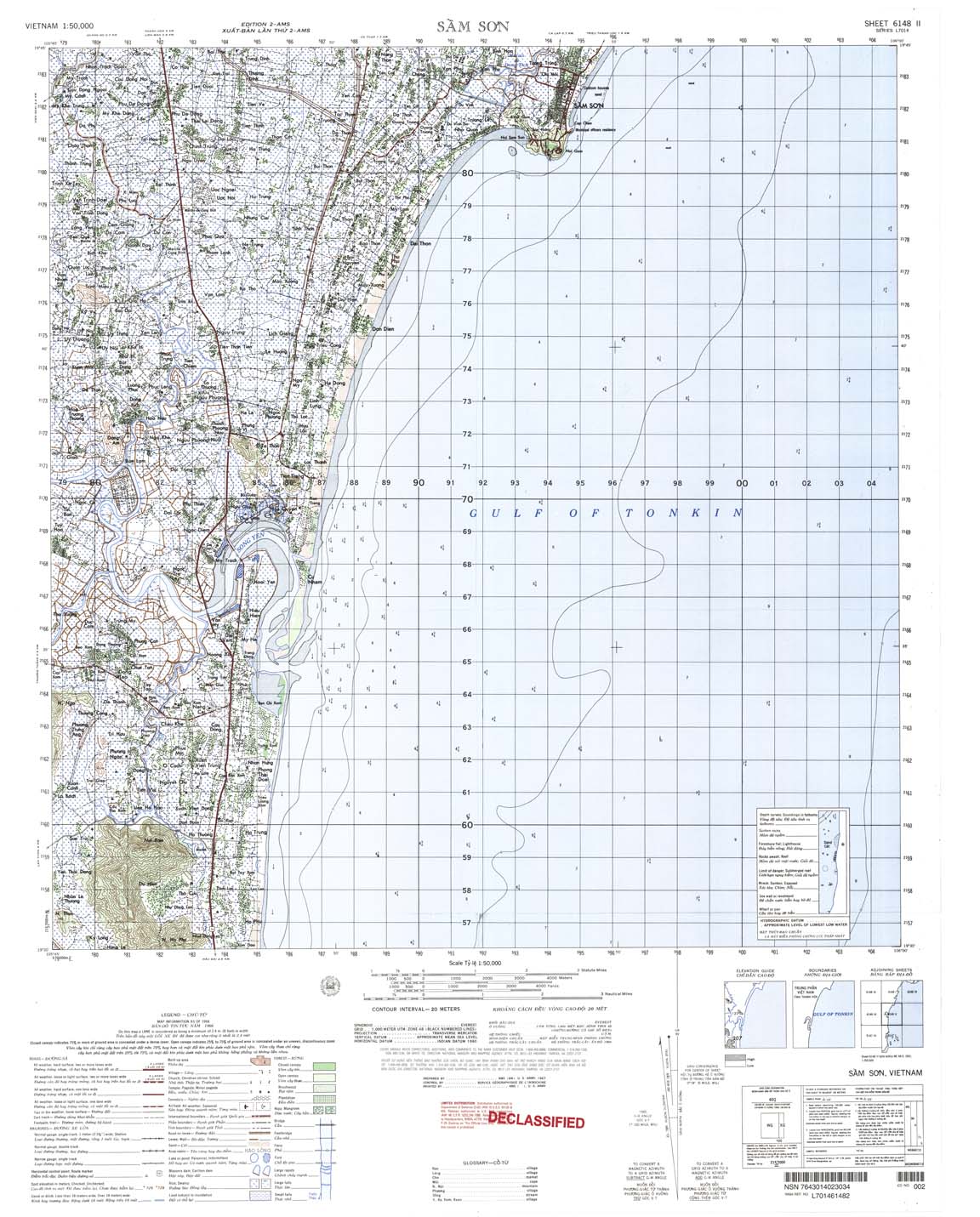
| Sam Son | 6148_2 | 1966 | 20 | US Army | 6148_2.jpg | 6148_2.tif | 6148_2.zip |
| Tong Cong | 6148_3 | 1965 | 20 | NIMA | 6148_3.jpg | 6148_3.tif | 6148_3.zip |
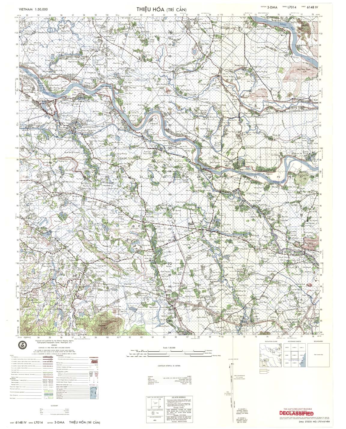
| Thieu Hoa | 6148_4 | 1984 | 20 | DMA | 6148_4.jpg | 6148_4.tif | 6148_4.zip |
| Ninh Binh | 6149_1 | 1965 | 20 | NIMA | 6149_1.jpg | 6149_1.tif | 6149_1.zip |
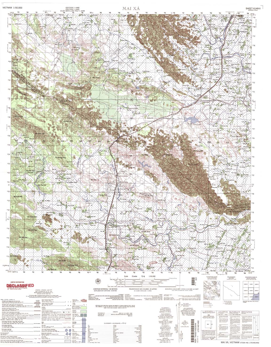
| Mai Xa | 6149_2 | 1964 | 20 | NIMA | 6149_2.jpg | 6149_2.tif | 6149_2.zip |
| Yen Dinh | 6149_3 | 1983 | 20 | NIMA | 6149_3.jpg | 6149_3.tif | 6149_3.zip |
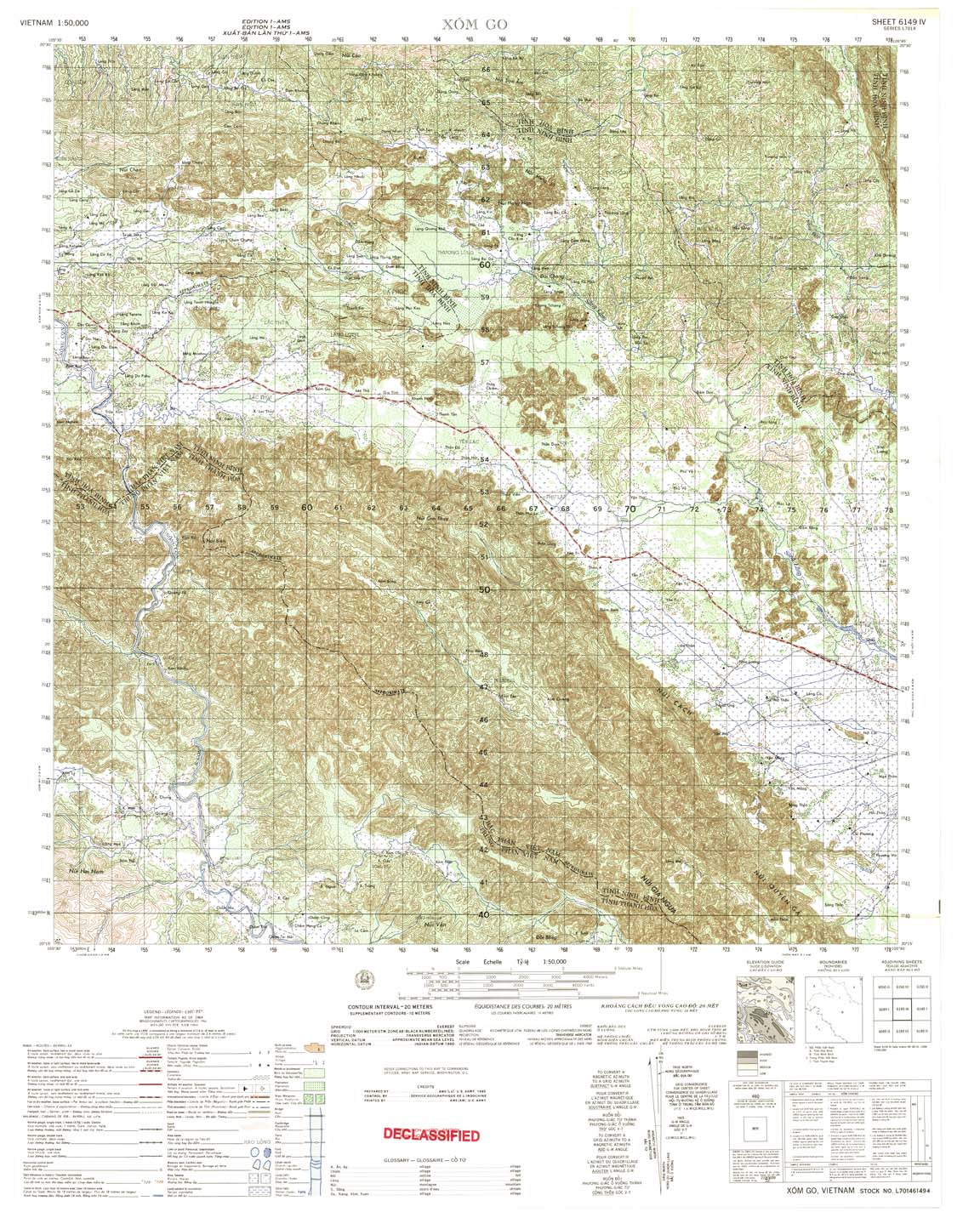
| Xom Go | 6149_4 | 1964 | 20 | US Army | 6149_4.jpg | 6149_4.tif | 6149_4.zip |
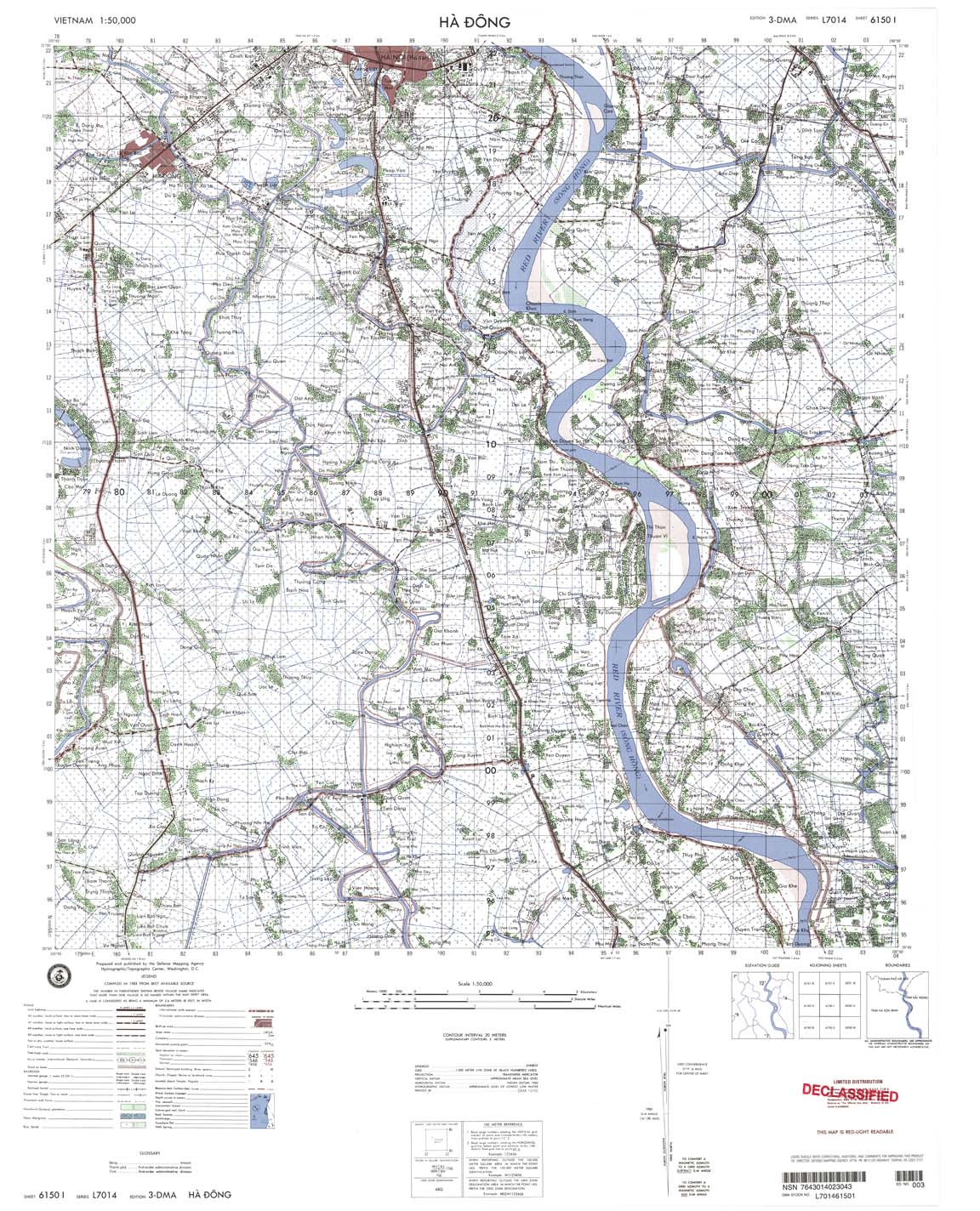
| Ha Don | 6150_1 | 1993 | 20 | DMA | 6150_1.jpg | 6150_1.tif | 6150_1.zip |
| Phu Ly | 6150_2 | 1965 | 20 | NIMA | 6150_2.jpg | 6150_2.tif | 6150_2.zip |
| Thuy Hien | 6150_3 | 1965 | 20 | US Army | 6150_3.jpg | 6150_3.tif | 6150_3.zip |
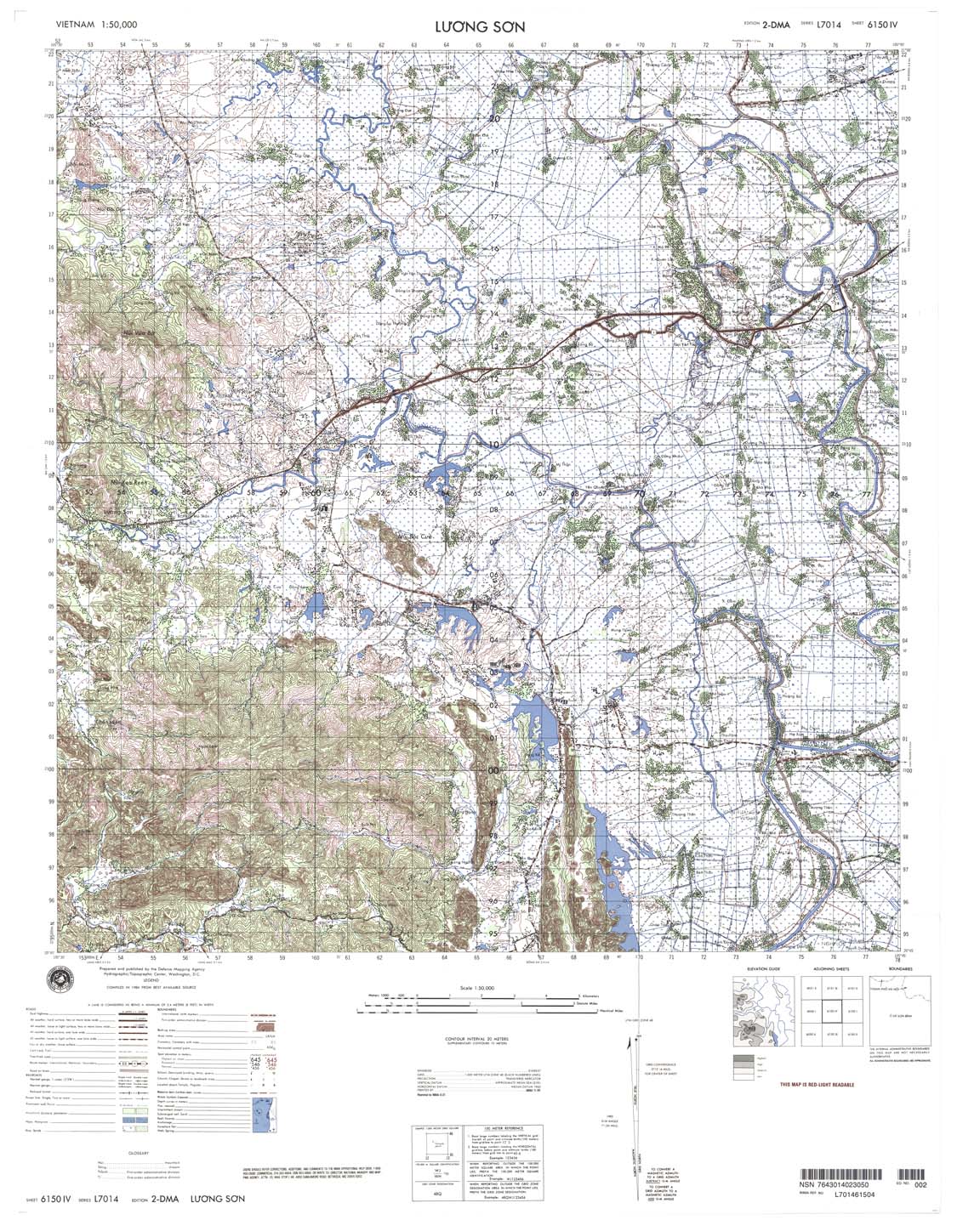
| Luong Son | 6150_4 | 1984 | 20 | NIMA | 6150_4.jpg | 6150_4.tif | 6150_4.zip |
| Pho Yen | 6151_1 | 1966 | 20 | NIMA | 6151_1.jpg | 6151_1.tif | 6151_1.zip |
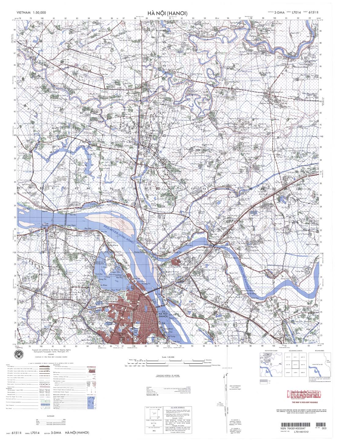
| Ha Noi (Hanoi) | 6151_2 | 1984 | 20 | NIMA | 6151_2.jpg | 6151_2.tif | 6151_2.zip |
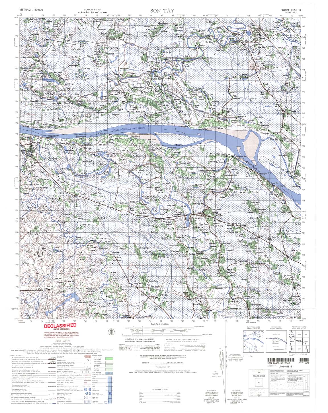
| Son Tay | 6151_3 | 1966 | 20 | NIMA | 6151_3.jpg | 6151_3.tif | 6151_3.zip |
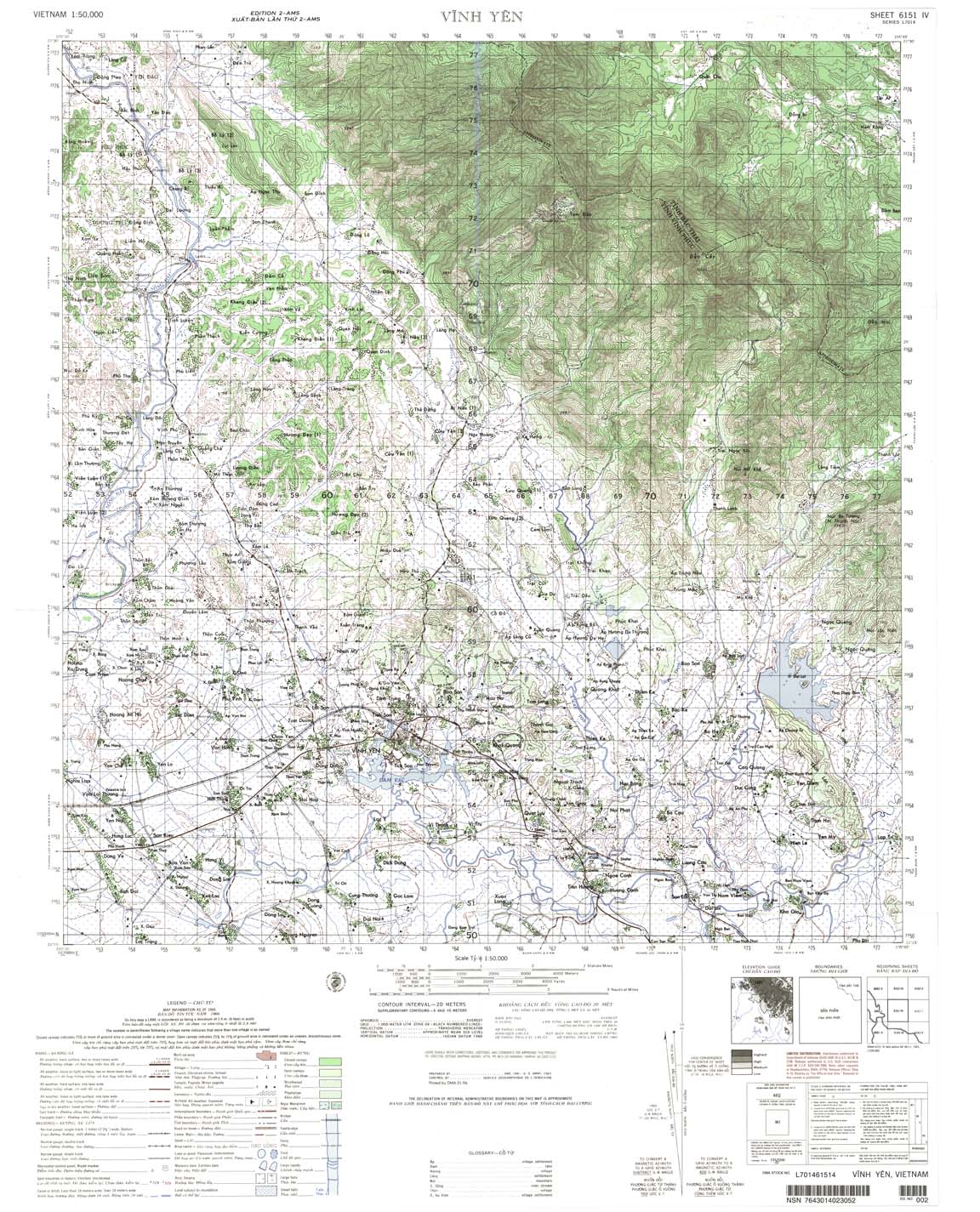
| Vinh Yen | 6151_4 | 1966 | 20 | DMA | 6151_4.jpg | 6151_4.tif | 6151_4.zip |
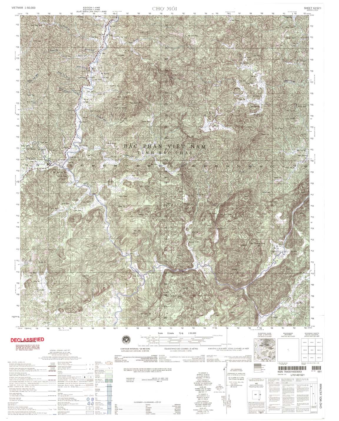
| Cho Moi | 6152_1 | 1964 | 20 | NIMA | 6152_1.jpg | 6152_1.tif | 6152_1.zip |
| Thai Nguyen | 6152_2 | 1964 | 20 | NIMA | 6152_2.jpg | 6152_2.tif | 6152_2.zip |
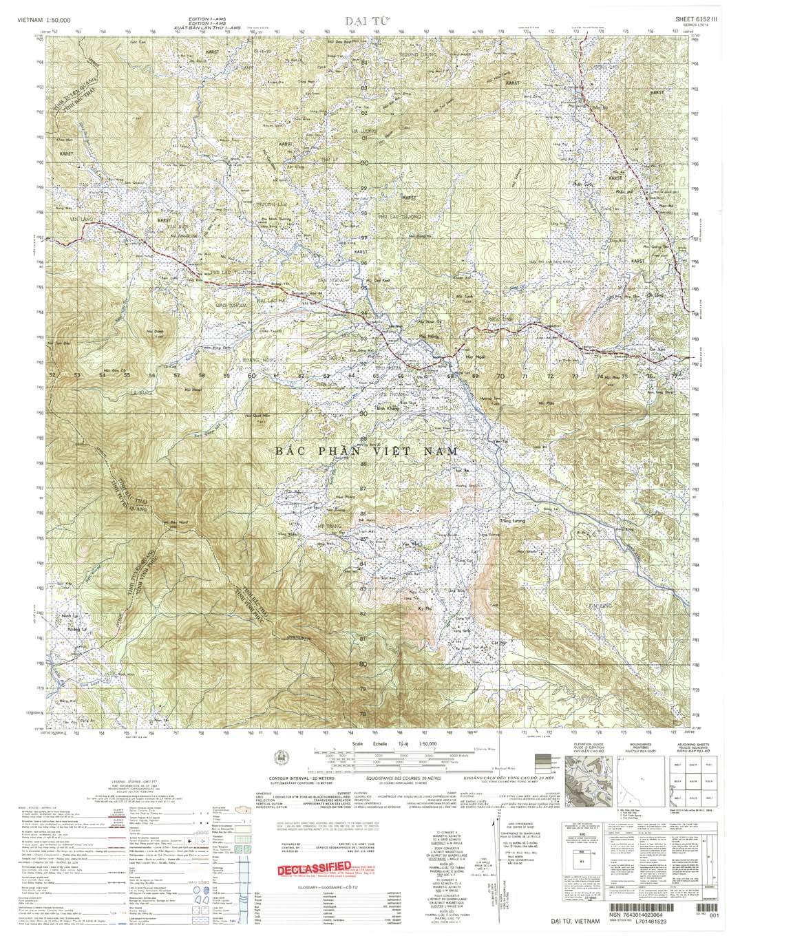
| Dai Tu | 6152_3 | 1964 | 20 | US Army | 6152_3.jpg | 6152_3.tif | 6152_3.zip |
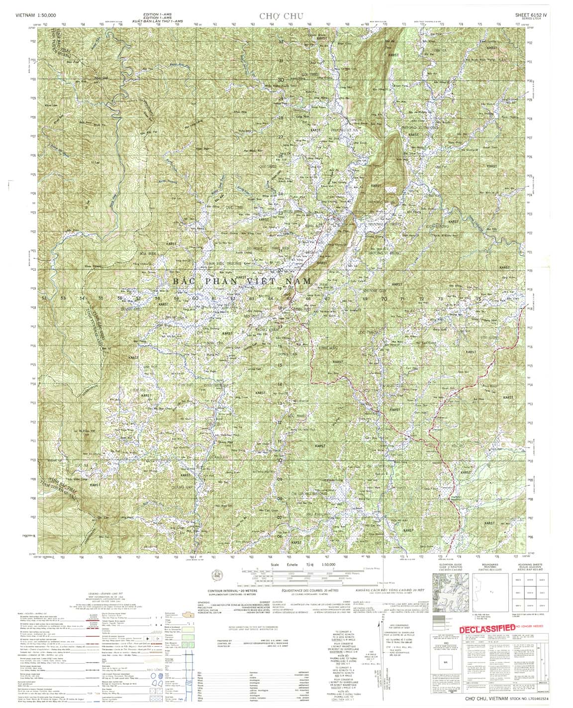
| Cho Chu | 6152_4 | 1964 | 20 | US Army | 6152_4.jpg | 6152_4.tif | 6152_4.zip |
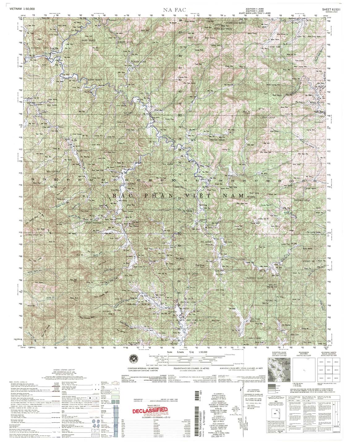
| Na ac | 6153_1 | 1964 | 20 | NIMA | 6153_1.jpg | 6153_1.tif | 6153_1.zip |
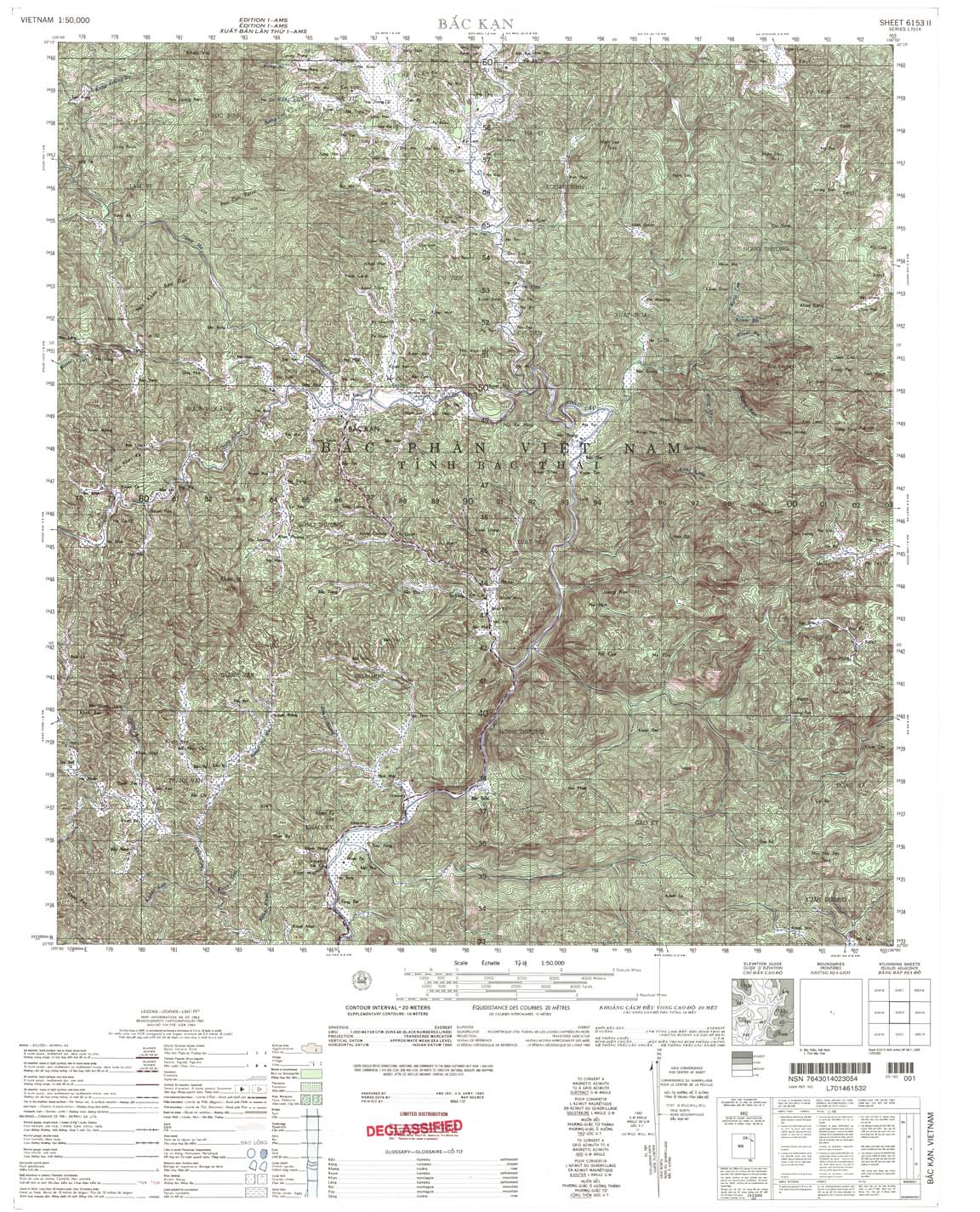
| Bac Kan | 6153_2 | 1963 | 20 | NIMA | 6153_2.jpg | 6153_2.tif | 6153_2.zip |
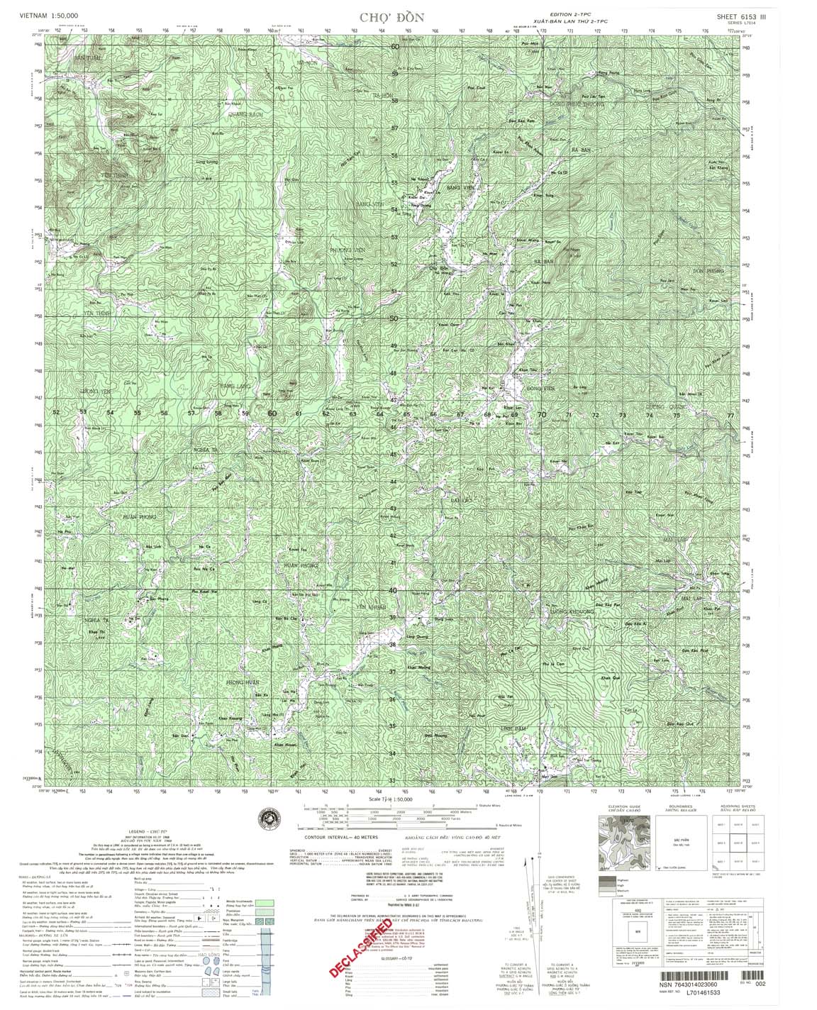
| Cho Don | 6153_3 | 1968 | 40 | NIMA | 6153_3.jpg | 6153_3.tif | 6153_3.zip |
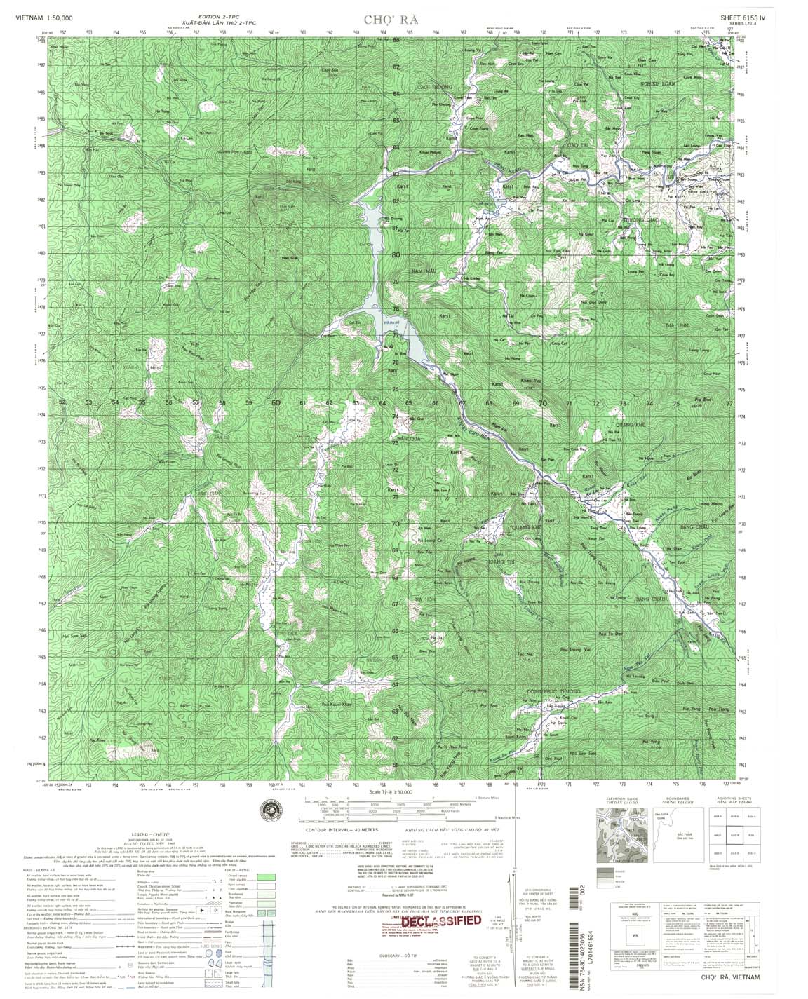
| Cho Ra | 6153_4 | 1968 | 40 | NIMA | 6153_4.jpg | 6153_4.tif | 6153_4.zip |
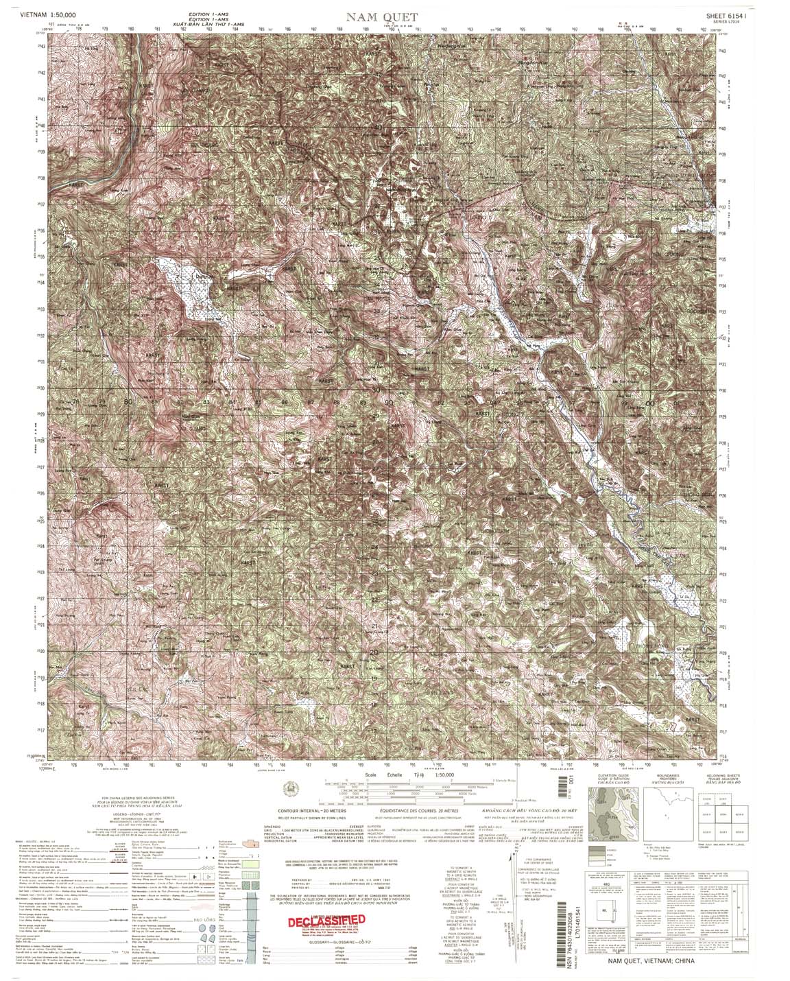
| Nam Quet | 6154_1 | 1964 | 20 | NIMA | 6154_1.jpg | 6154_1.tif | 6154_1.zip |
| Nguyen Binh | 6154_2 | 1964 | 20 | NIMA | 6154_2.jpg | 6154_2.tif | 6154_2.zip |
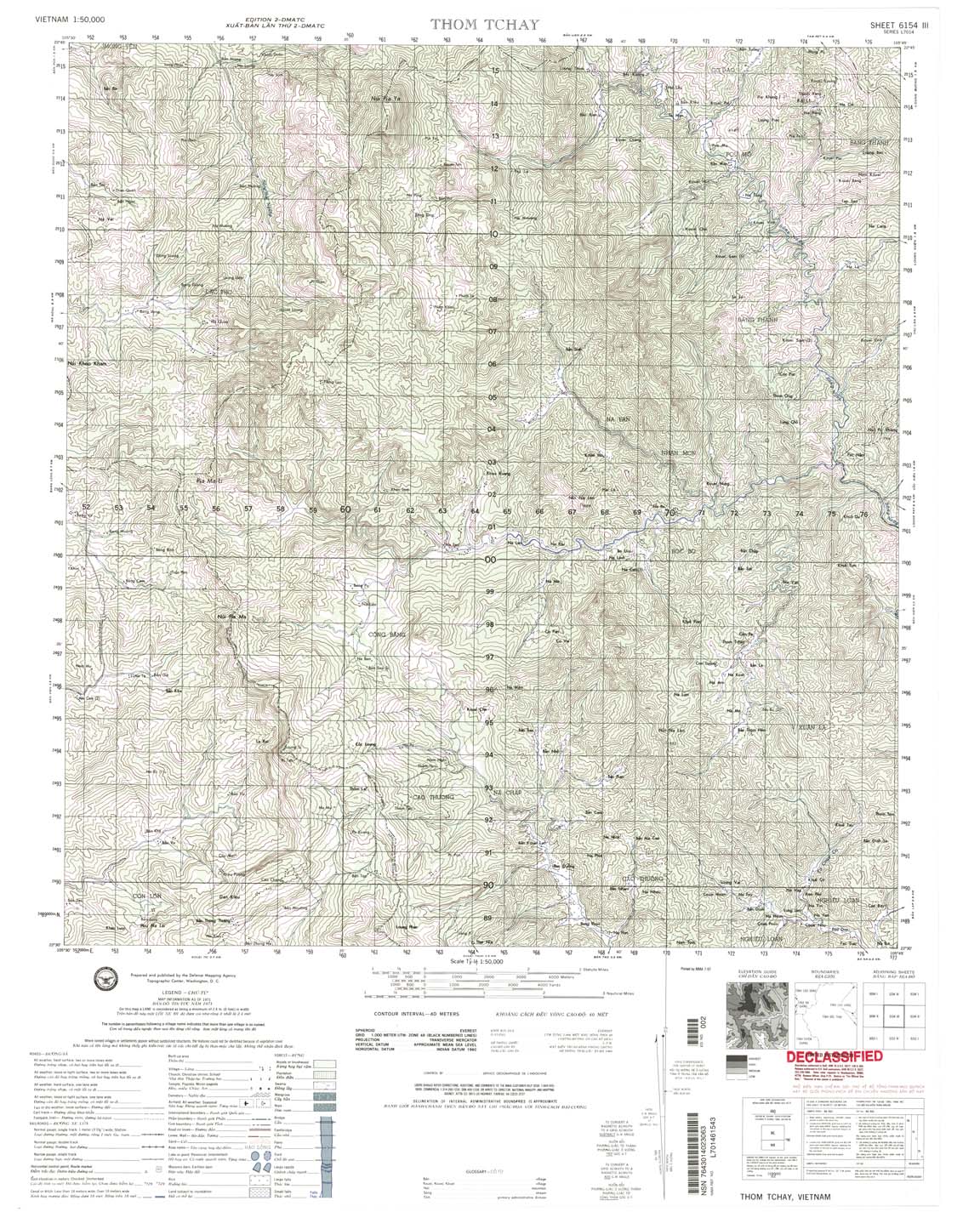
| Thom Tchay | 6154_3 | 1971 | 40 | NIMA | 6154_3.jpg | 6154_3.tif | 6154_3.zip |
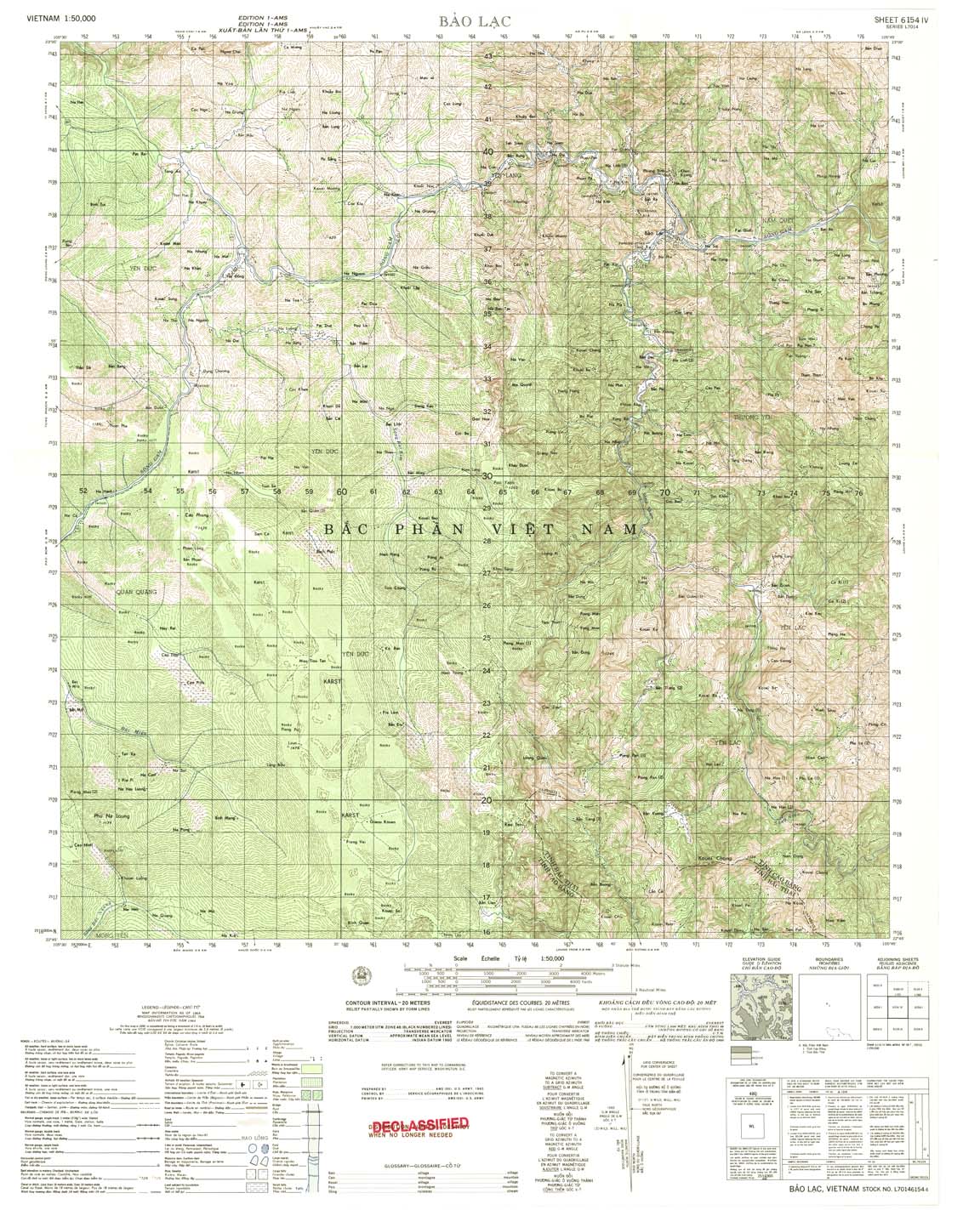
| Bao Lac | 6154_4 | 1964 | 20 | US Army | 6154_4.jpg | 6154_4.tif | 6154_4.zip |
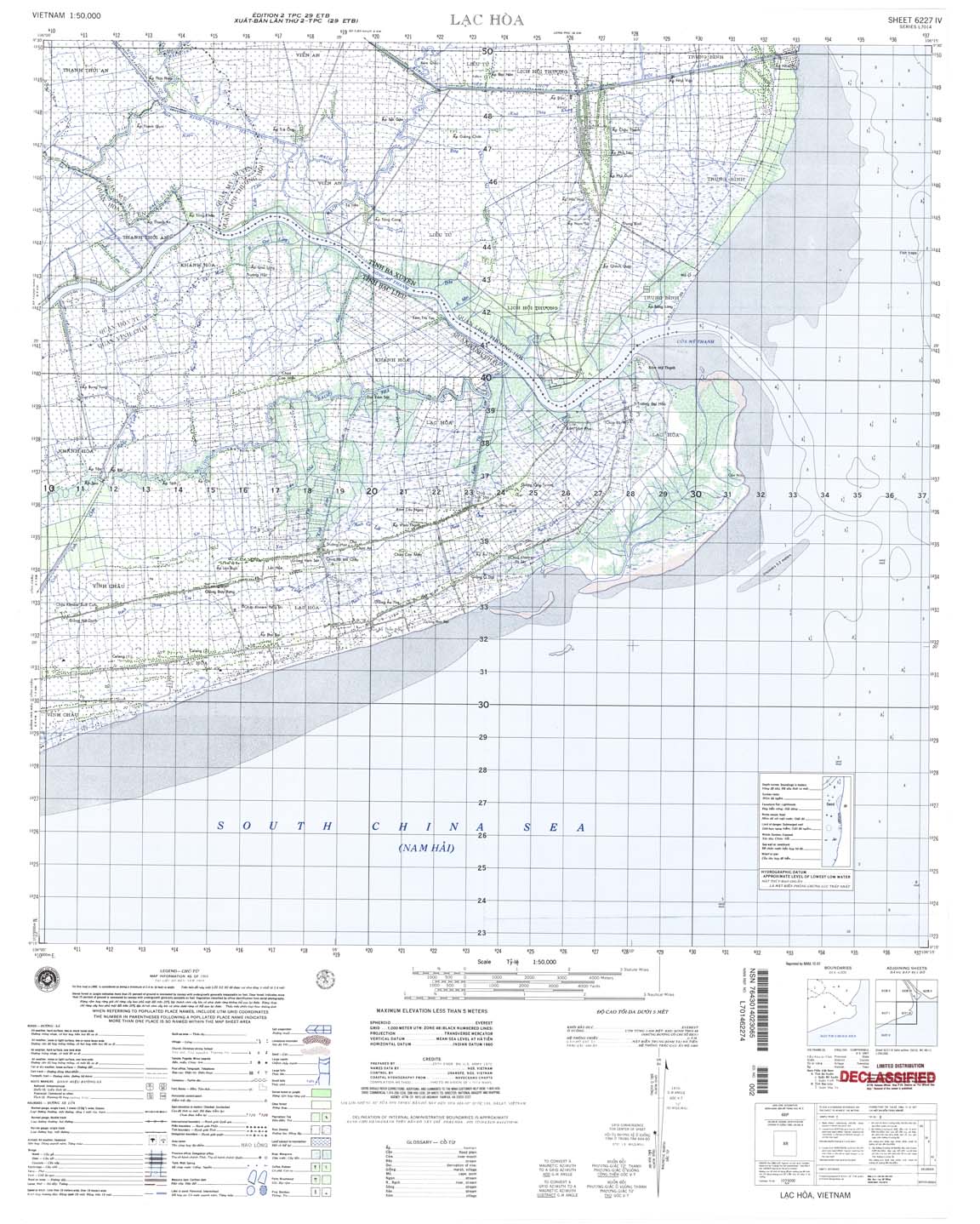
| Lac Hoa | 6227_4 | 1969 | NIMA | 6227_4.jpg | 6227_4.tif | 6227_4.zip | |
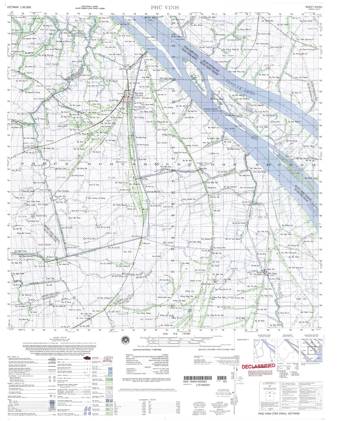
| Phu Vinh | 6228_1 | 1965 | 5 | NIMA | 6228_1.jpg | 6228_1.tif | 6228_1.zip |
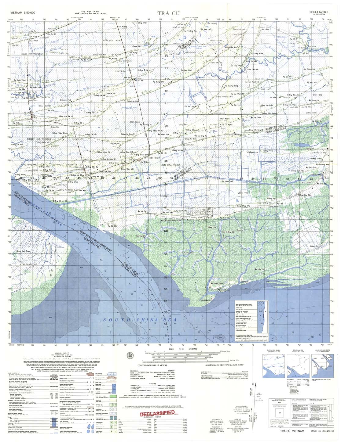
| Tra Cu | 6228_2 | 1965 | 5 | US Army | 6228_2.jpg | 6228_2.tif | 6228_2.zip |
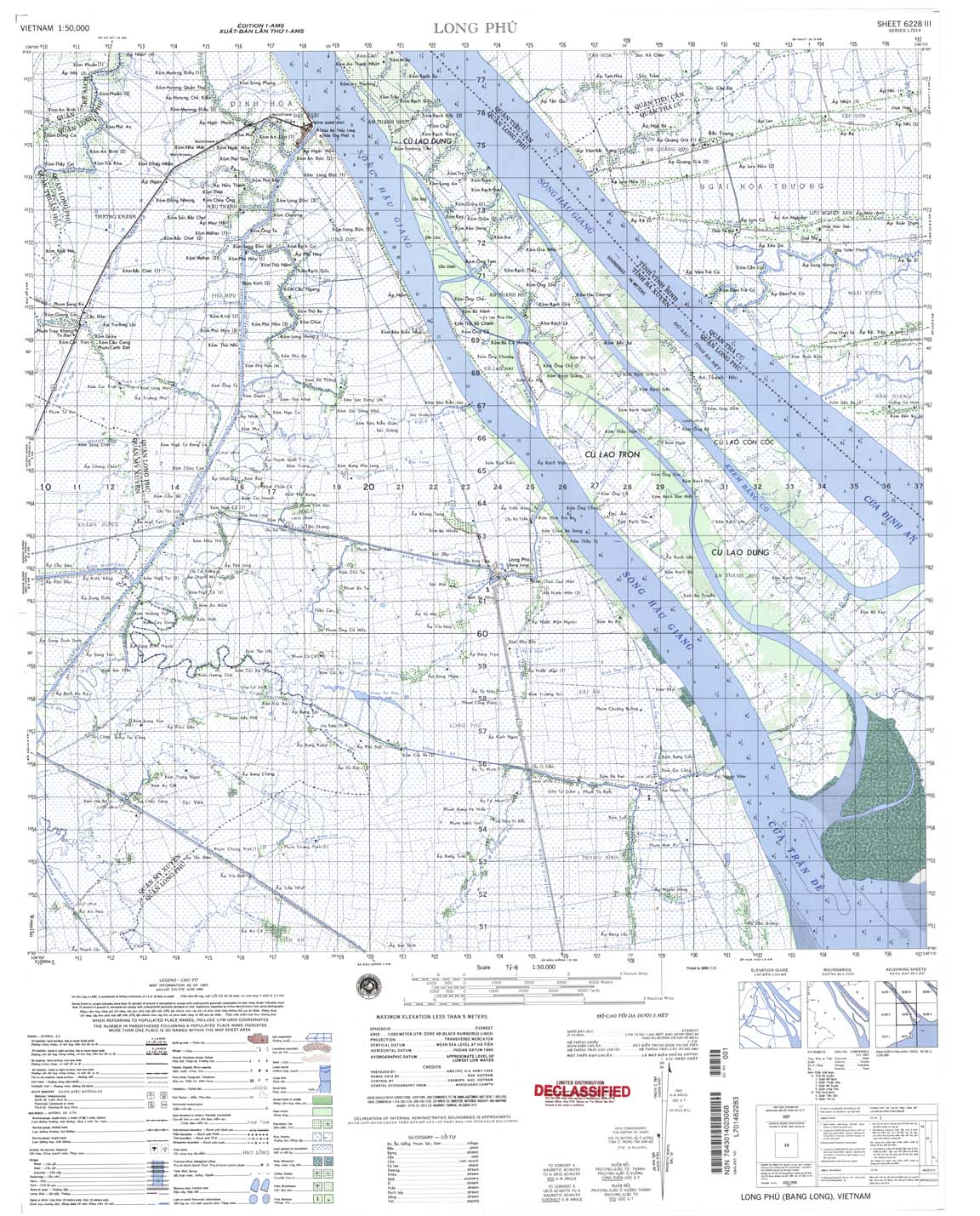
| Long Phu | 6228_3 | 1965 | NIMA | 6228_3.jpg | 6228_3.tif | 6228_3.zip | |
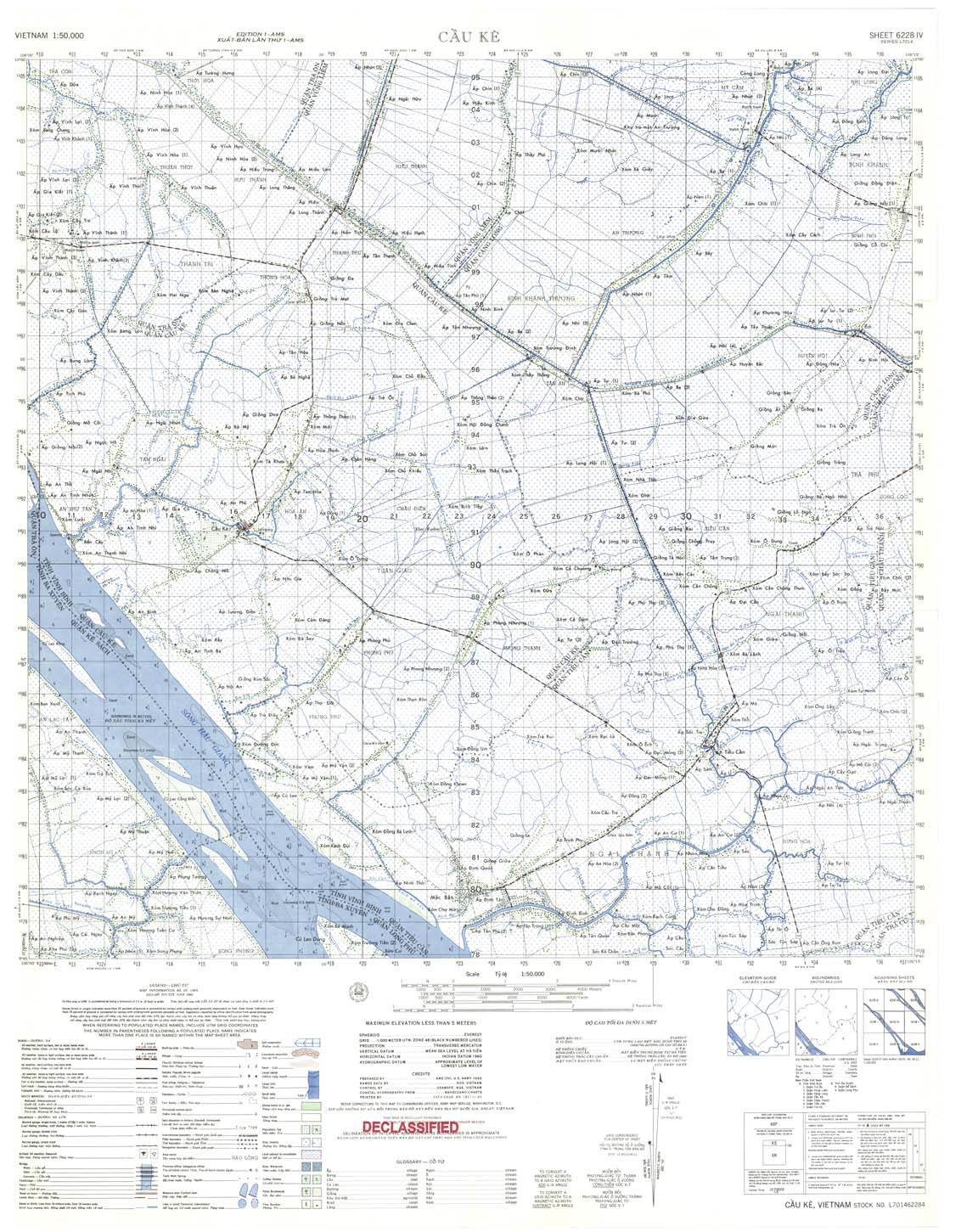
| Cau Ke | 6228_4 | 1965 | US Army | 6228_4.jpg | 6228_4.tif | 6228_4.zip | |
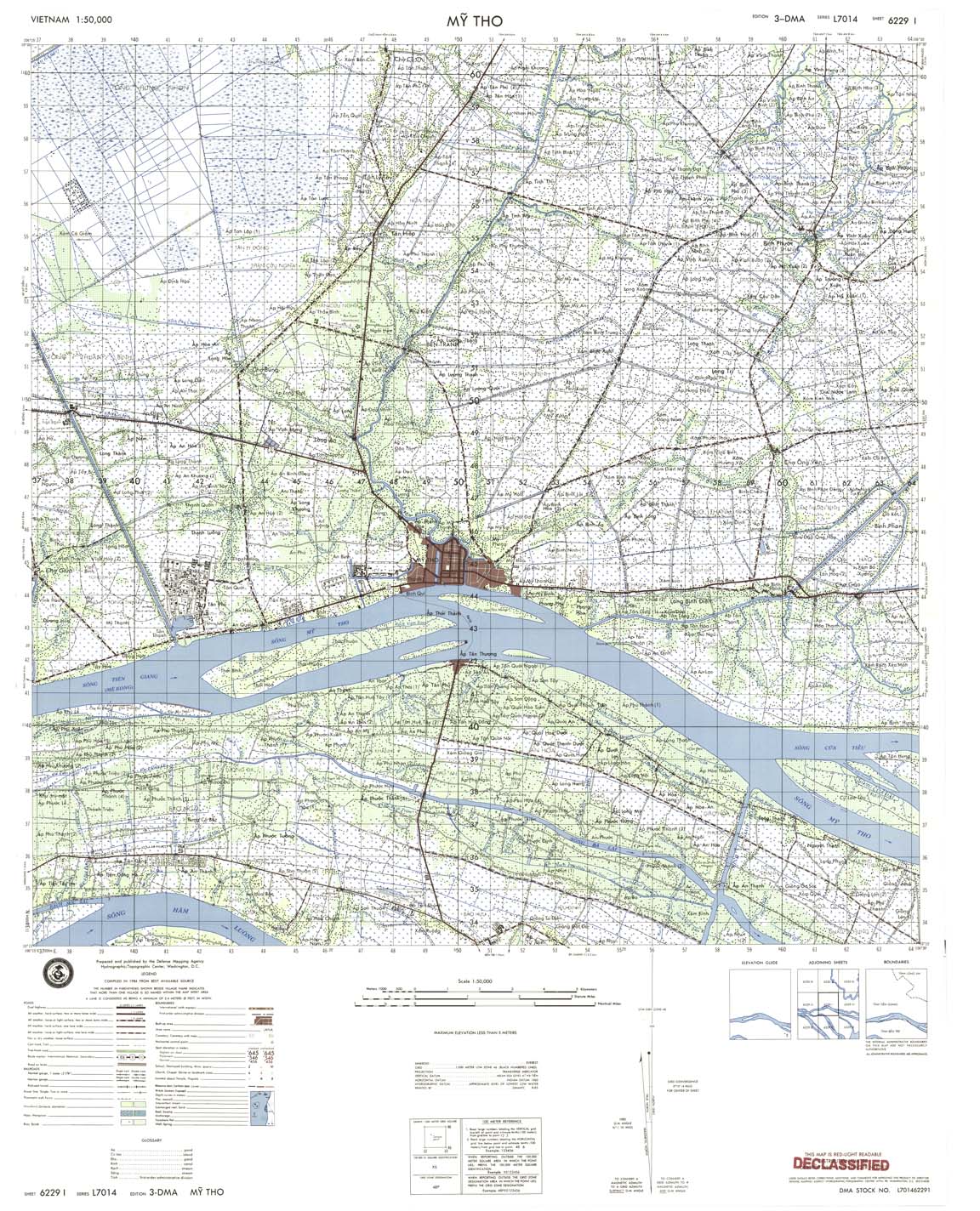
| My Tho | 6229_1 | 1984 | DMA | 6229_1.jpg | 6229_1.tif | 6229_1.zip | |
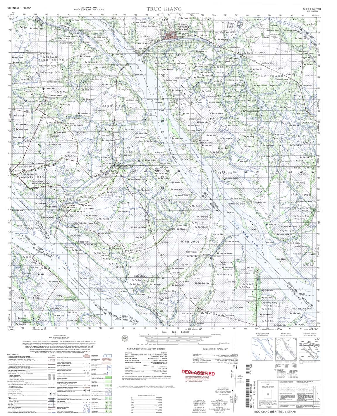
| 6229_2 | 1965 | NIMA | 6229_2.jpg | 6229_2.tif | 6229_2.zip | ||
| Vung Liem | 6229_3 | 1965 | NIMA | 6229_3.jpg | 6229_3.tif | 6229_3.zip | |
| Khiem Ich | 6229_4 | 1969 | US Army | 6229_4.jpg | 6229_4.tif | 6229_4.zip | |
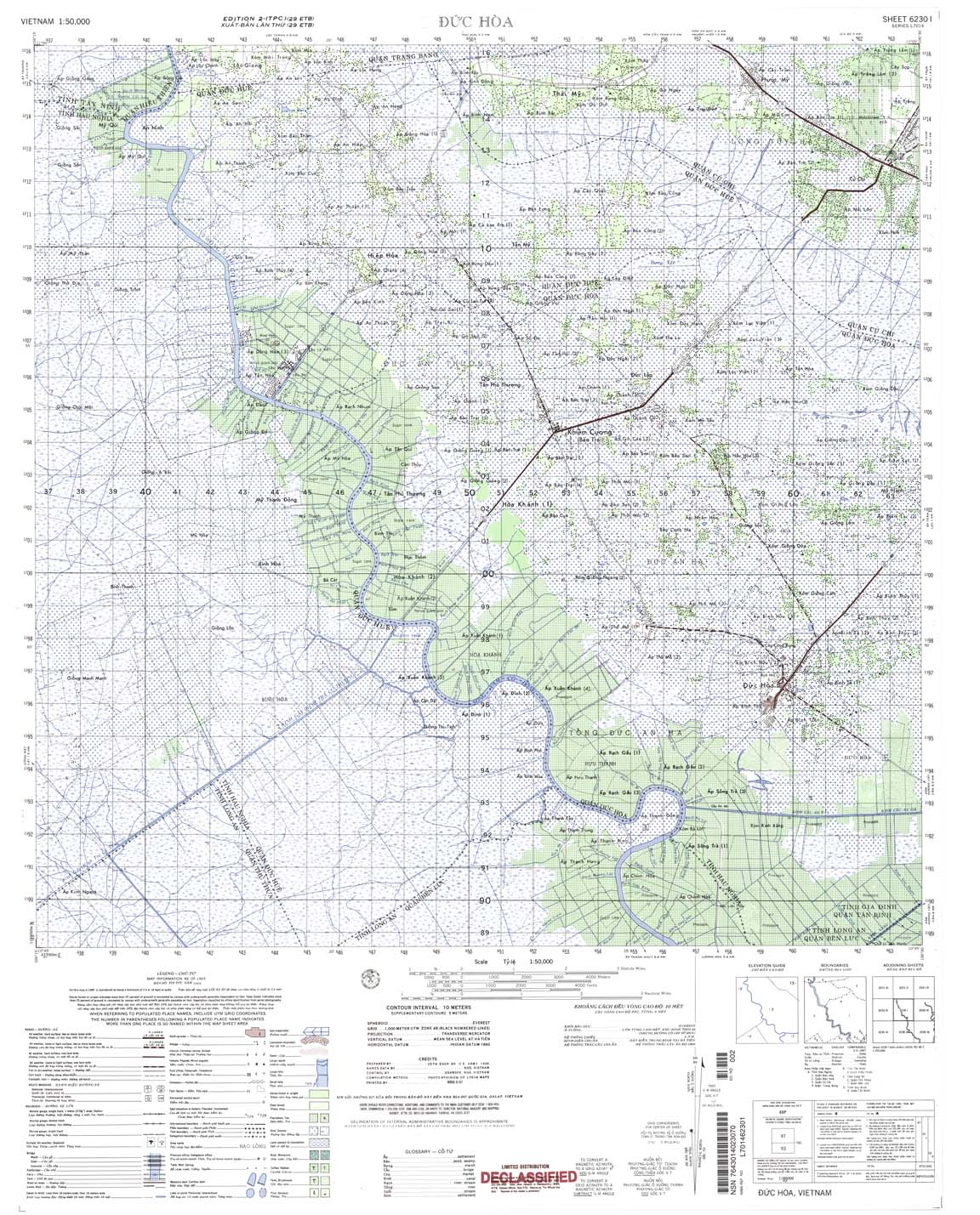
| Duc Hoa | 6230_1 | 1969 | 10 | NIMA | 6230_1.jpg | 6230_1.tif | 6230_1.zip |
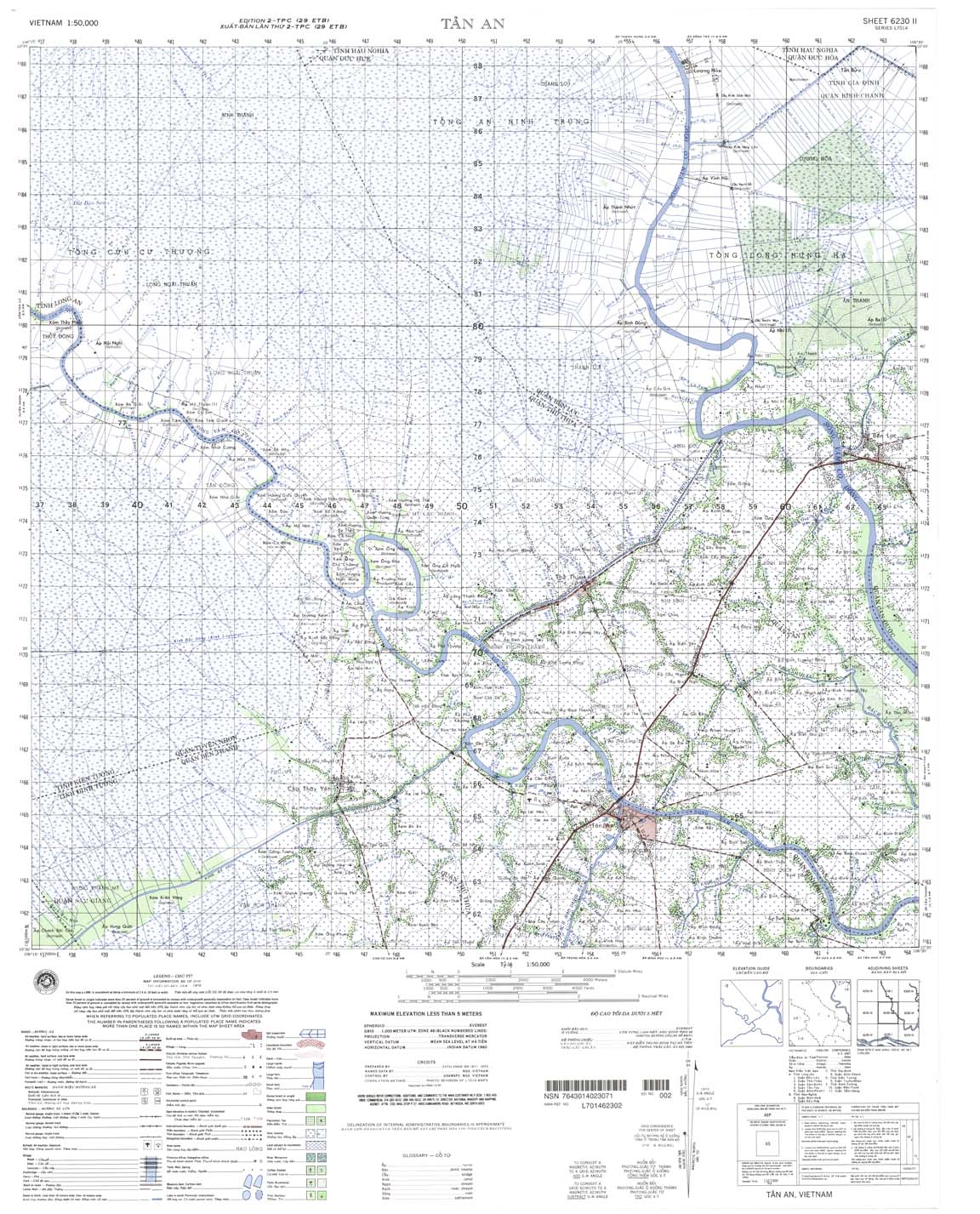
| Tan An | 6230_2 | 1970 | NIMA | 6230_2.jpg | 6230_2.tif | 6230_2.zip | |
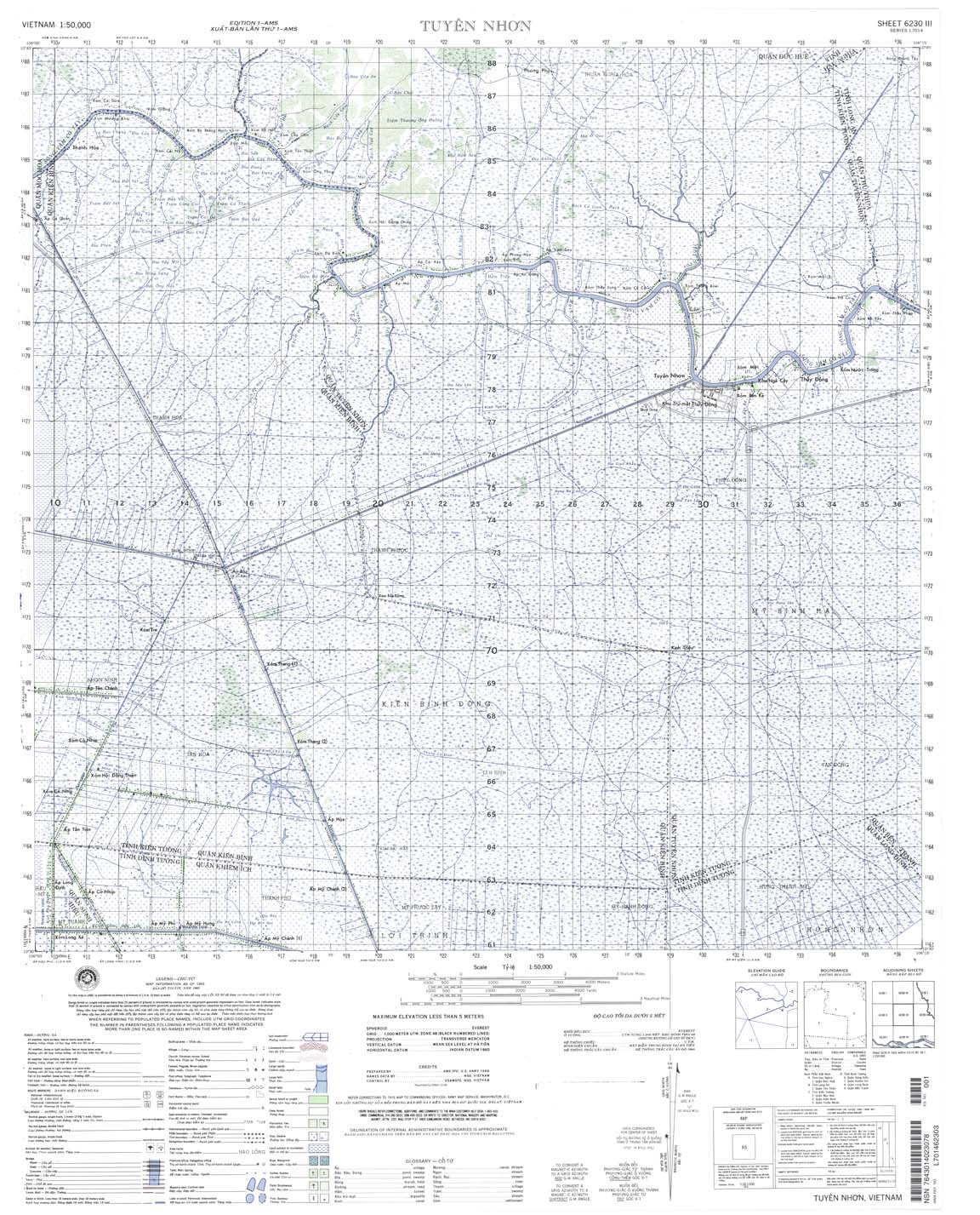
| Tuyen Nhon | 6230_3 | 1965 | NIMA | 6230_3.jpg | 6230_3.tif | 6230_3.zip | |
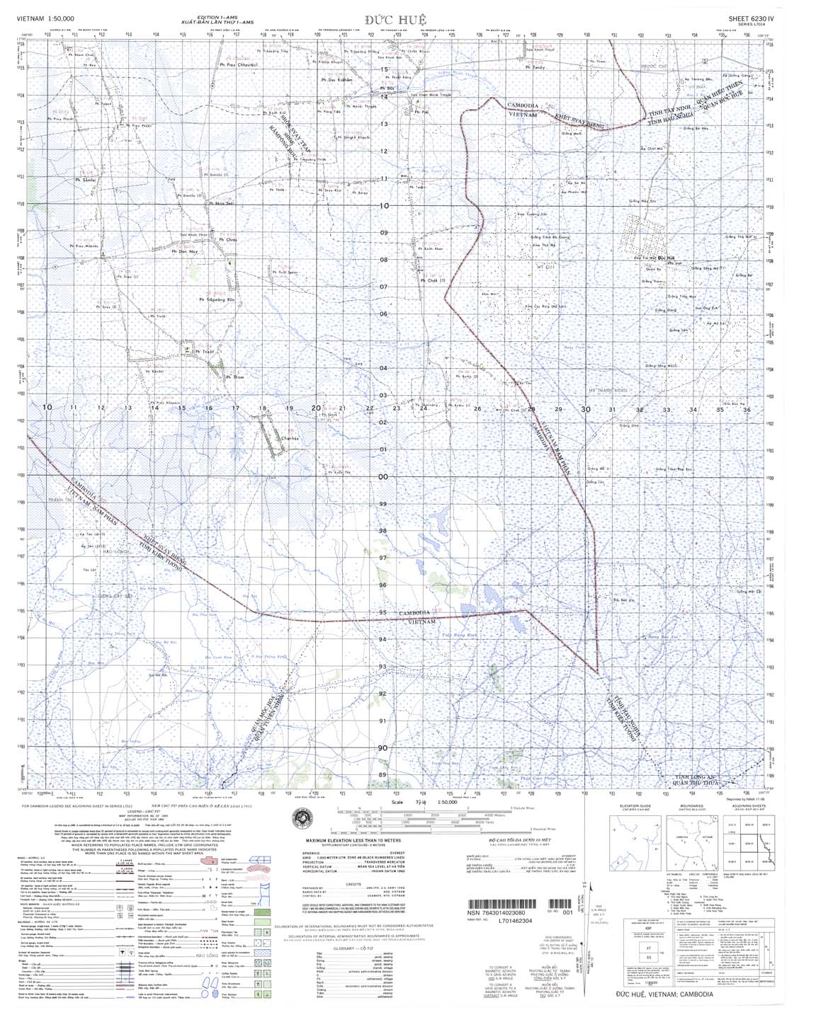
| Duc Hue | 6230_4 | 1965 | NIMA | 6230_4.jpg | 6230_4.tif | 6230_4.zip | |
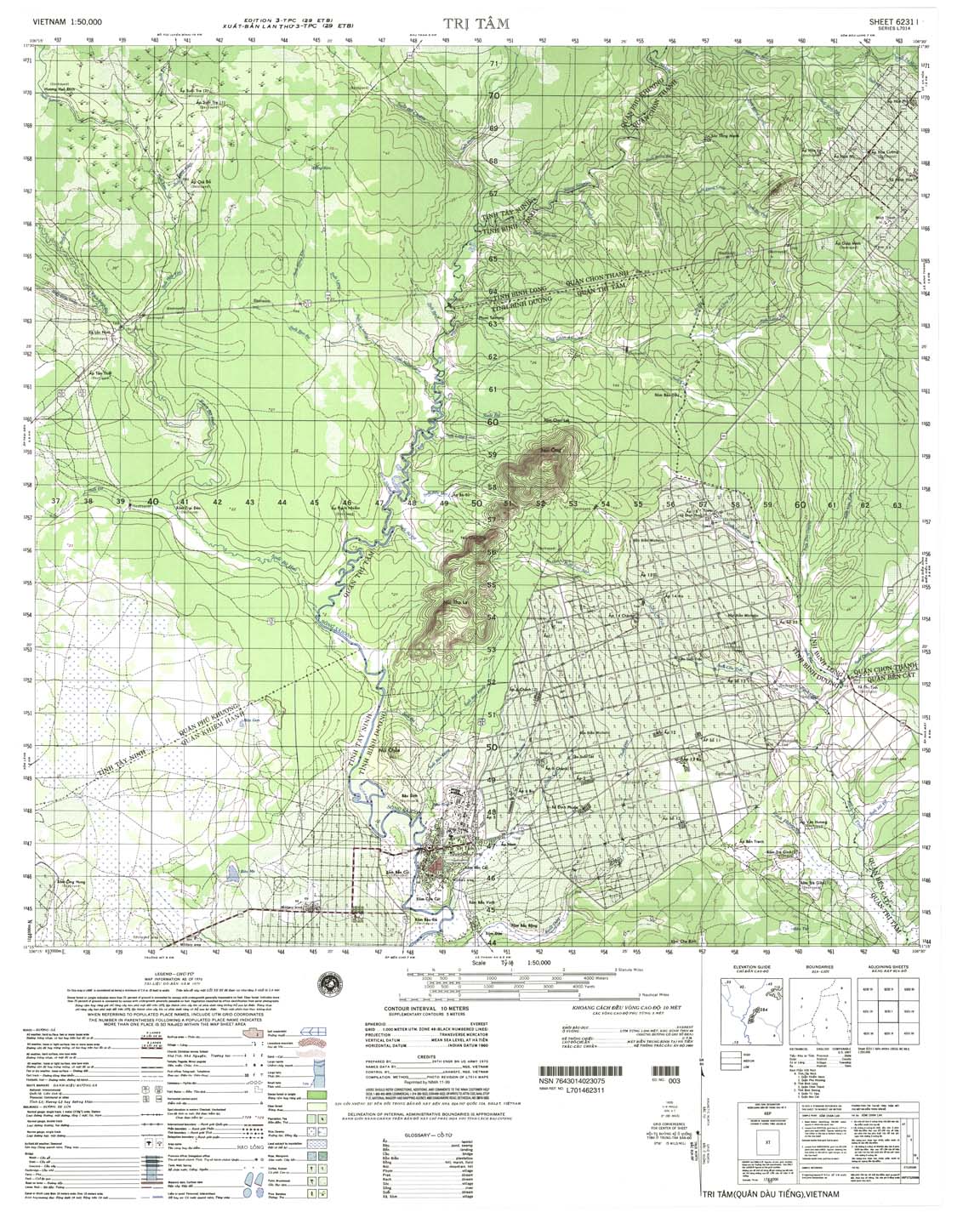
| Tri Tam | 6231_1 | 1970 | 10 | NIMA | 6231_1.jpg | 6231_1.tif | 6231_1.zip |
| Hieu Thiem | 6231_2 | 1968 | 10 | NIMA | 6231_2.jpg | 6231_2.tif | 6231_2.zip |
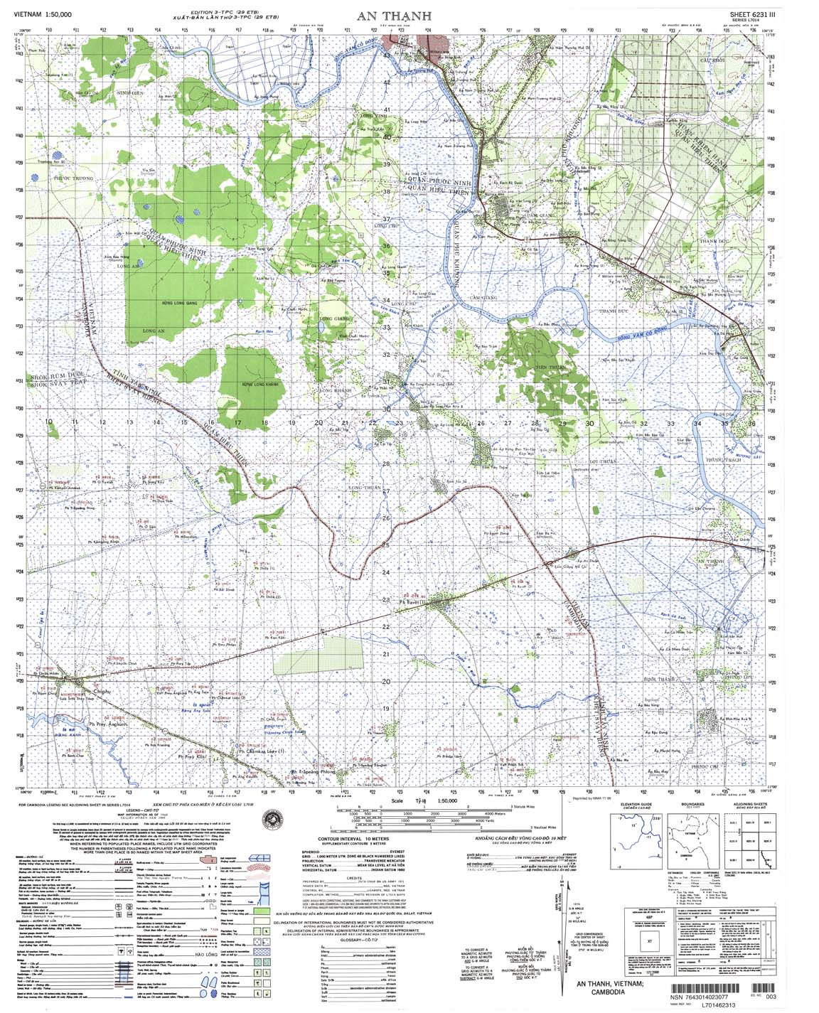
| An Thanh | 6231_3 | 1969 | 10 | NIMA | 6231_3.jpg | 6231_3.tif | 6231_3.zip |
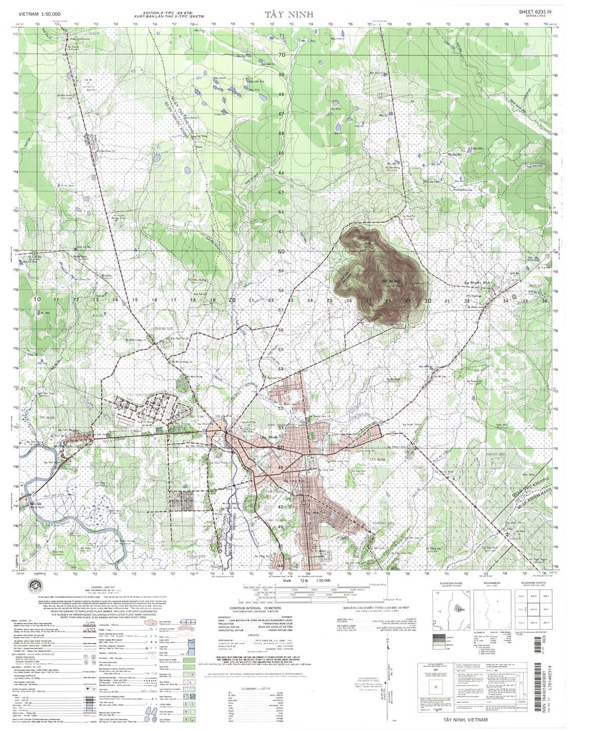
| Tay Ninh | 6231_4 | 1969 | 10 | NIMA | 6231_4.jpg | 6231_4.tif | 6231_4.zip |
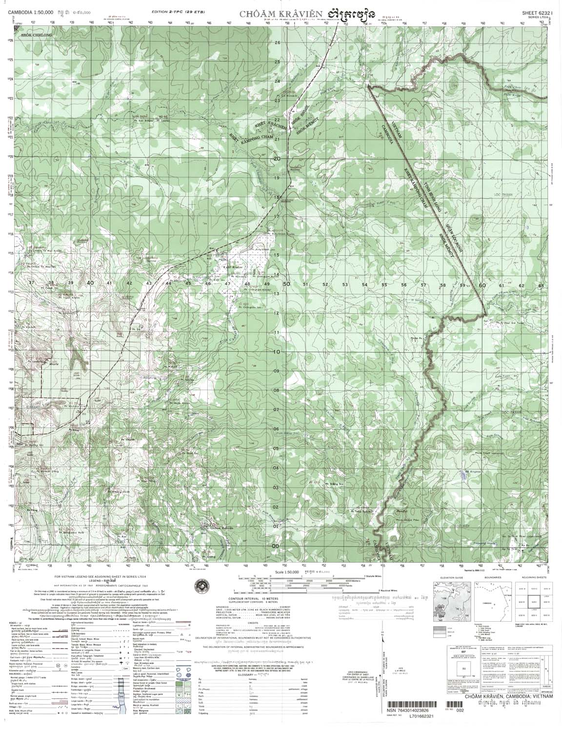
| Choam Kravien | 6232_1 | 1969 | 10 | NIMA | 6232_1.jpg | 6232_1.tif | 6232_1.zip |
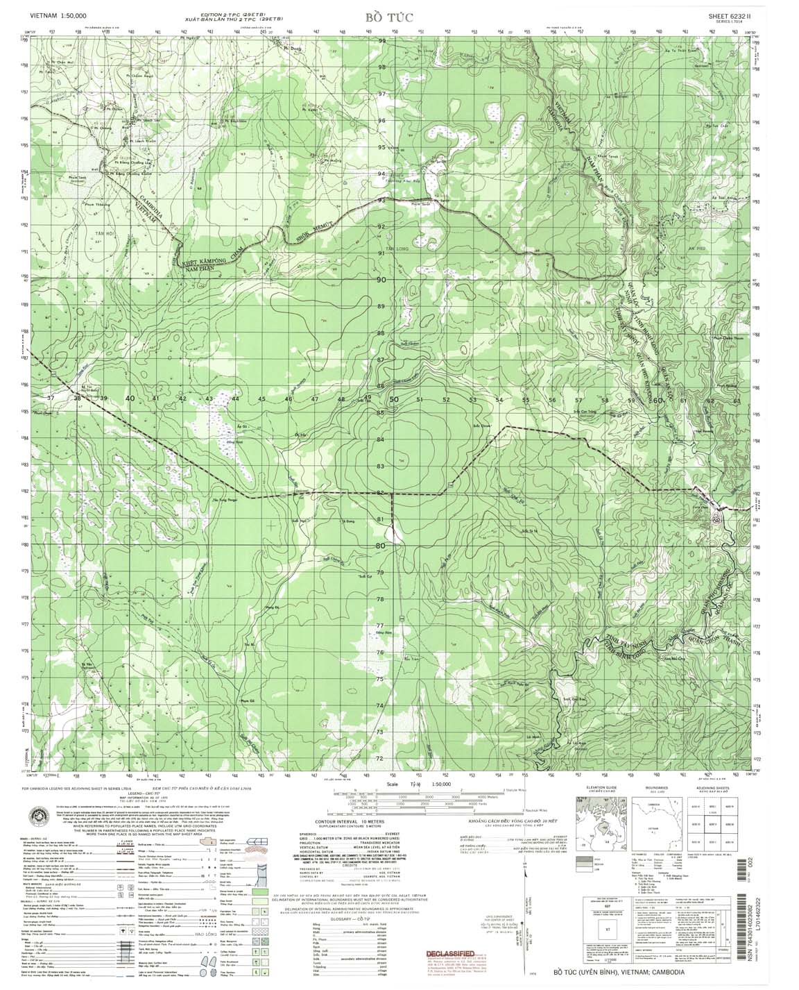
| Bo Tuc | 6232_2 | 1970 | 10 | NIMA | 6232_2.jpg | 6232_2.tif | 6232_2.zip |
| Ta Dath | 6232_3 | 1970 | 10 | NIMA | 6232_3.jpg | 6232_3.tif | 6232_3.zip |
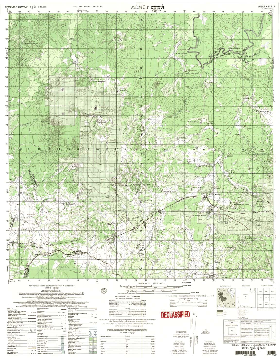
| Memut | 6232_4 | 1970 | 10 | US Army | 6232_4.jpg | 6232_4.tif | 6232_4.zip |
| Ban Nathon | 6242_1 | 1970 | 20 | US Army | 6242_1.jpg | 6242_1.tif | 6242_1.zip |
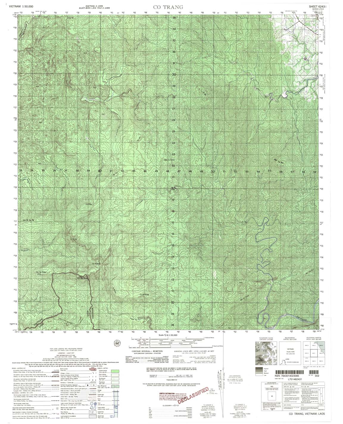
| Co Trang | 6243_1 | 1966 | 40 | US Army | 6243_1.jpg | 6243_1.tif | 6243_1.zip |
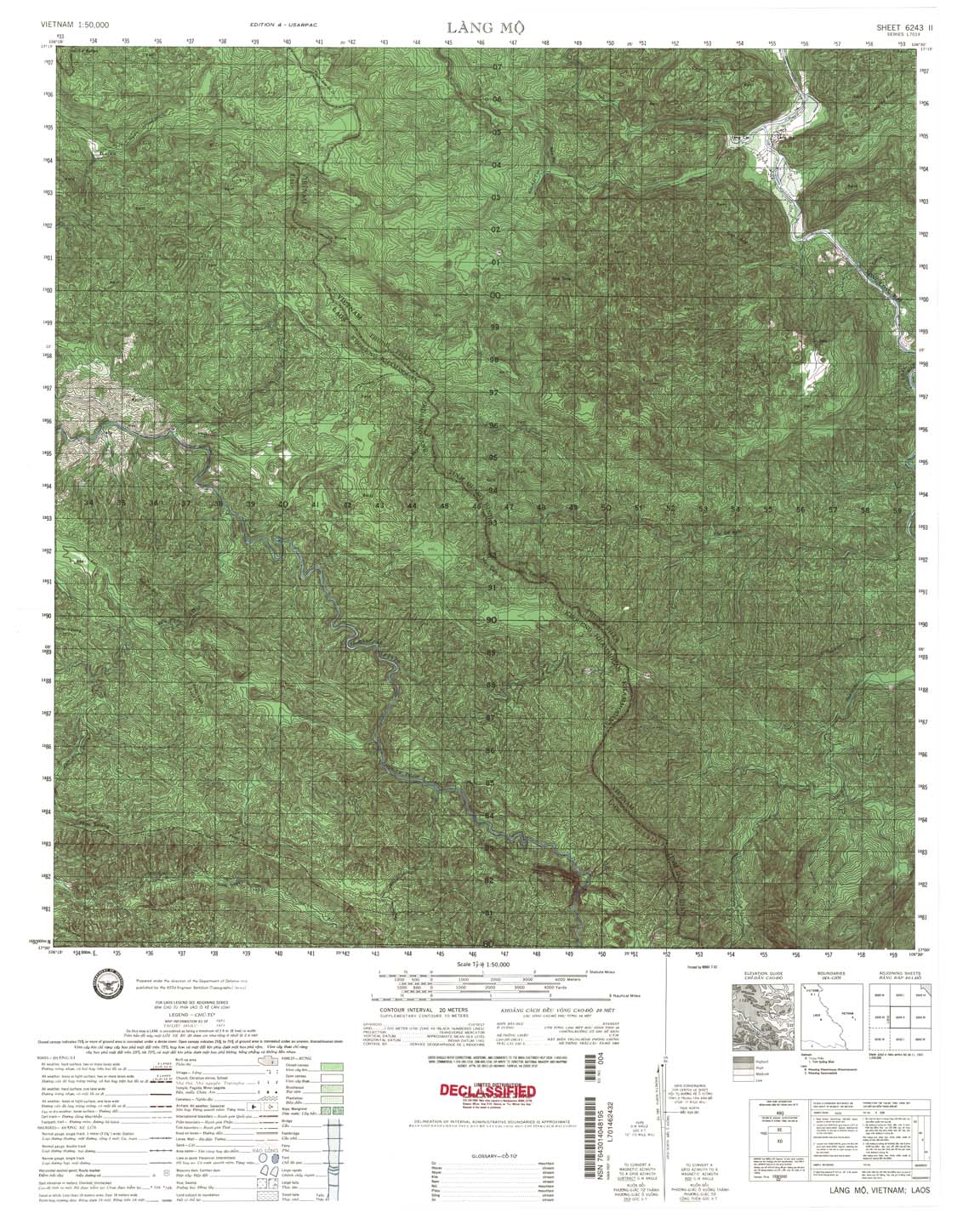
| Lang Mo | 6243_2 | 1971 | 20 | NIMA | 6243_2.jpg | 6243_2.tif | 6243_2.zip |
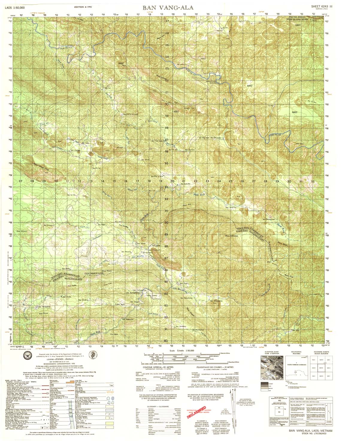
| Ban Vang-Ala | 6243_3 | 1970 | 20 | US Army | 6243_3.jpg | 6243_3.tif | 6243_3.zip |
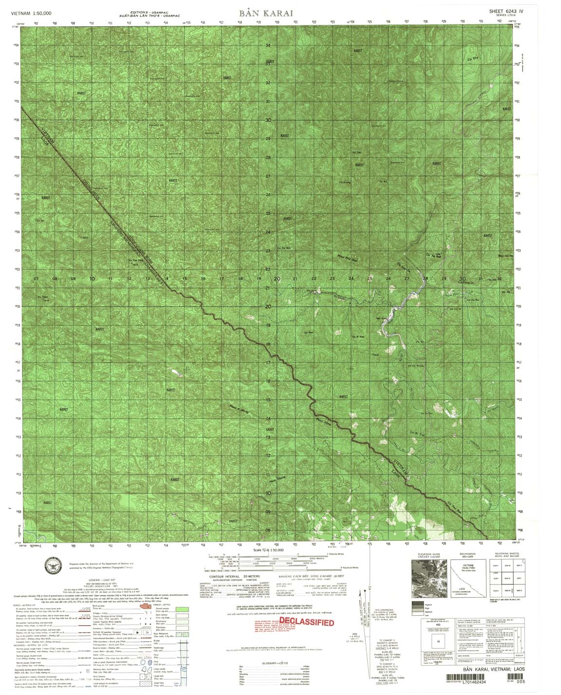
| Ban Karai | 6243_4 | 1971 | 20 | US Army | 6243_4.jpg | 6243_4.tif | 6243_4.zip |
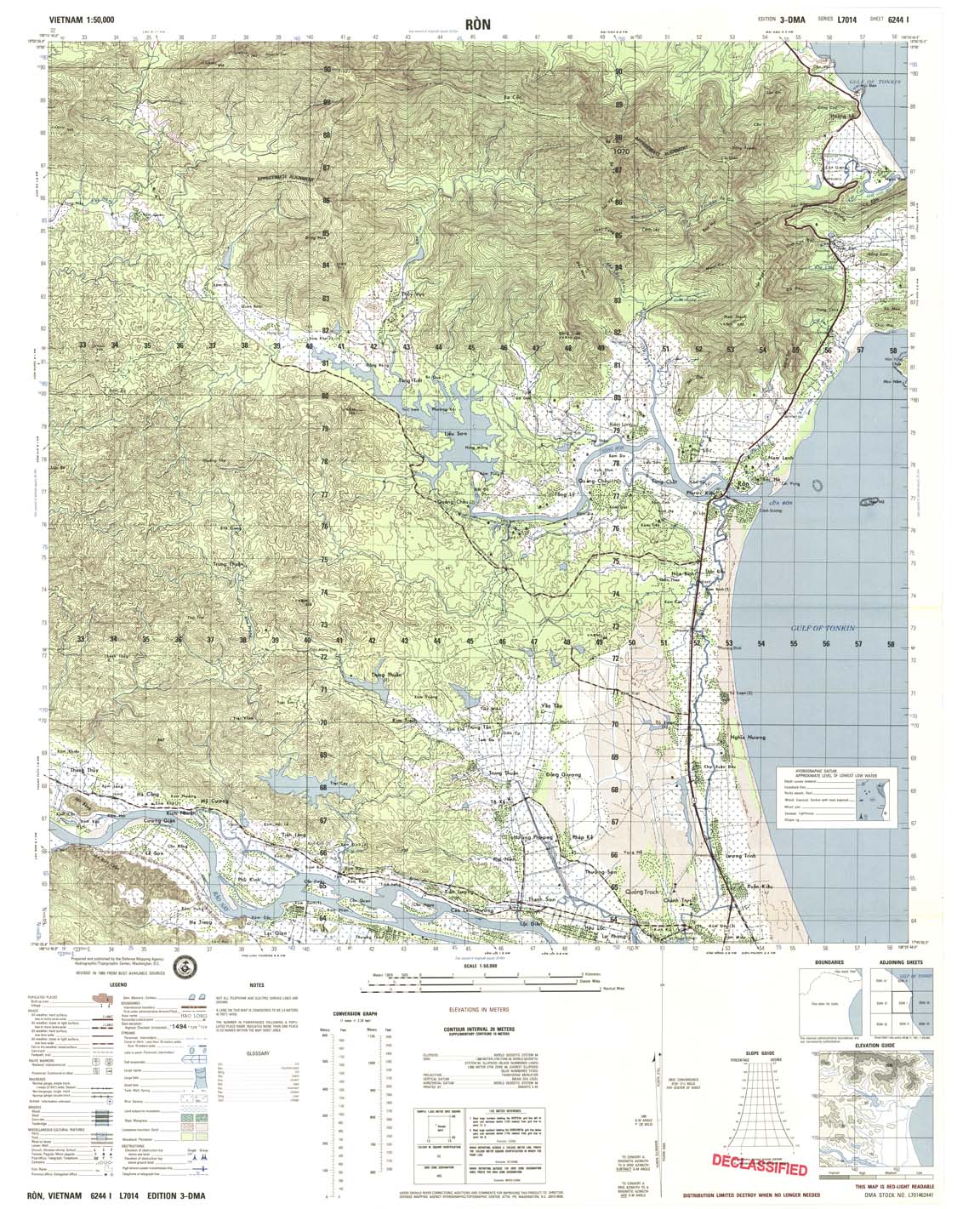
| Ron | 6244_1 | 1989 | 20 | DMA | 6244_1.jpg | 6244_1.tif | 6244_1.zip |
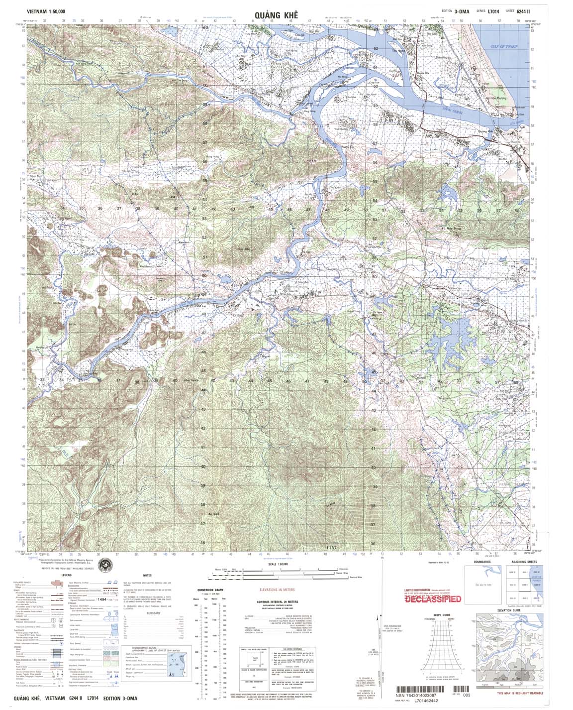
| Quang Khe | 6244_2 | 1989 | 20 | NIMA | 6244_2.jpg | 6244_2.tif | 6244_2.zip |
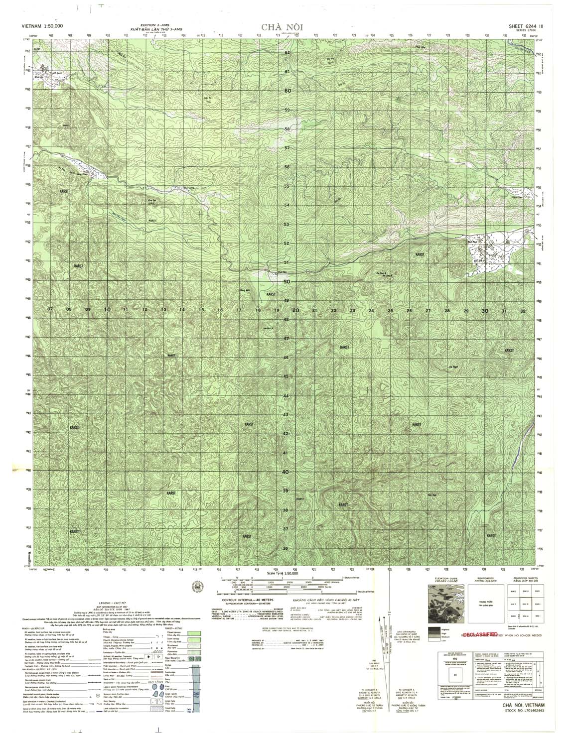
| Cha Noi | 6244_3 | 1967 | 40 | US Army | 6244_3.jpg | 6244_3.tif | 6244_3.zip |
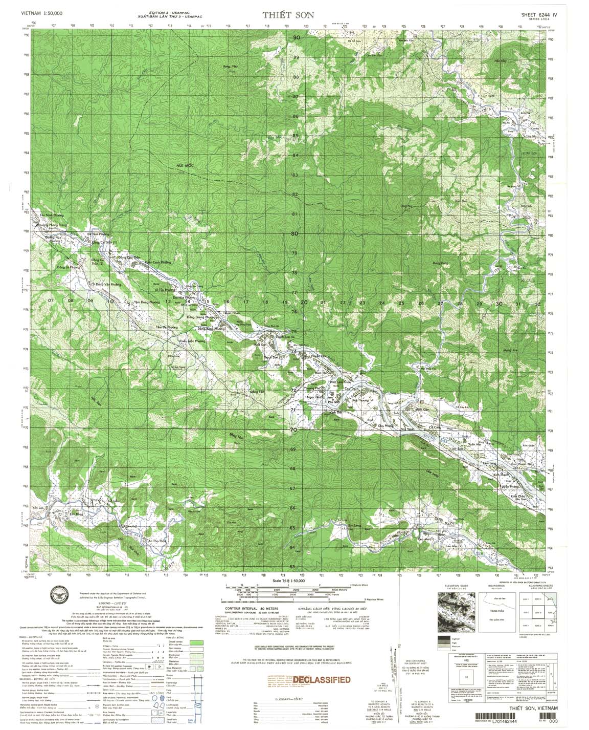
| Thiet Son | 6244_4 | 1971 | 40 | US Army | 6244_4.jpg | 6244_4.tif | 6244_4.zip |
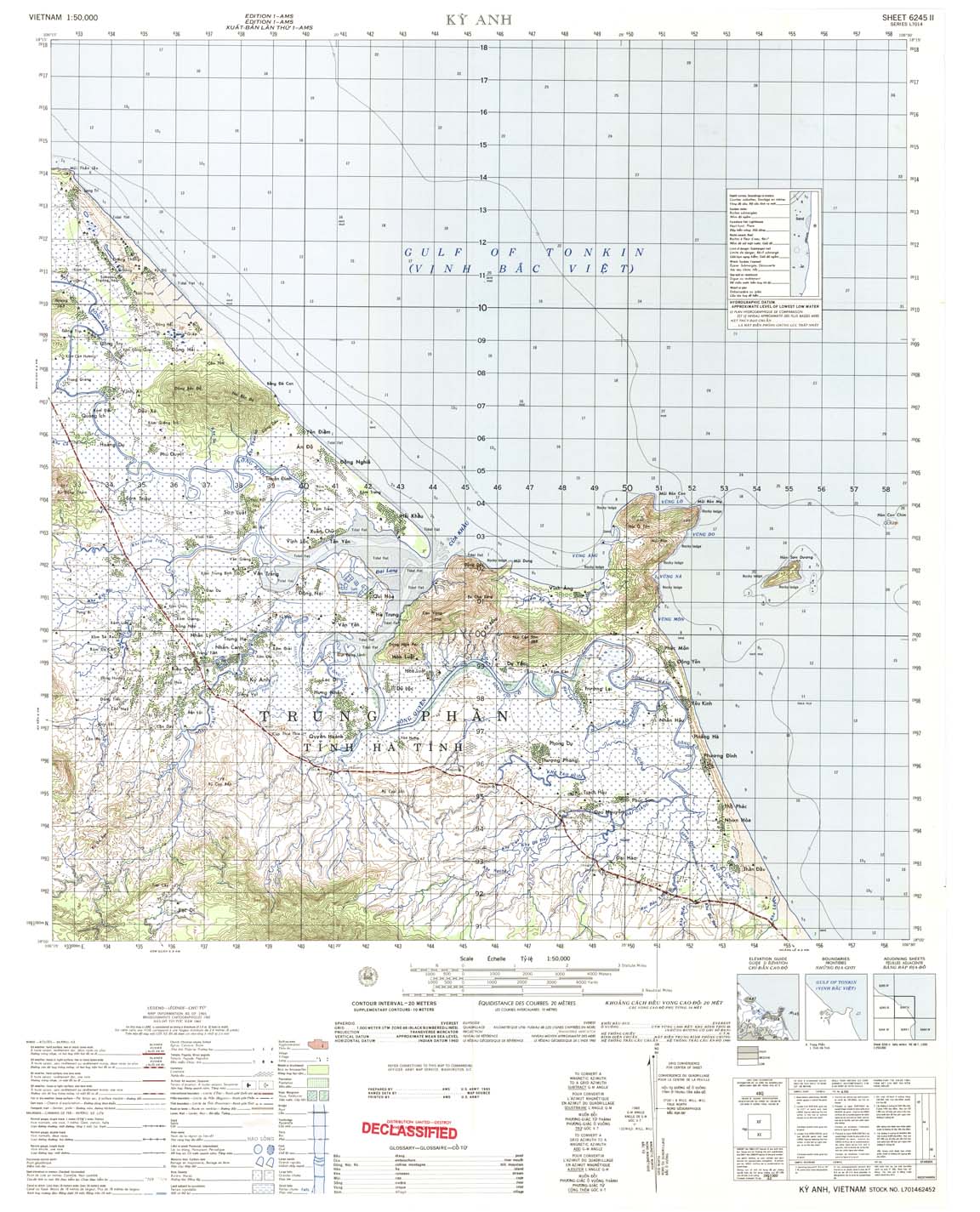
| Ky Anh | 6245_2 | 1965 | 20 | US Army | 6245_2.jpg | 6245_2.tif | 6245_2.zip |
| Tuan Tuong | 6245_3 | 1966 | 20 | NIMA | 6245_3.jpg | 6245_3.tif | 6245_3.zip |
| Nhuong Ban | 6245_4 | 1966 | 20 | US Army | 6245_4.jpg | 6245_4.tif | 6245_4.zip |
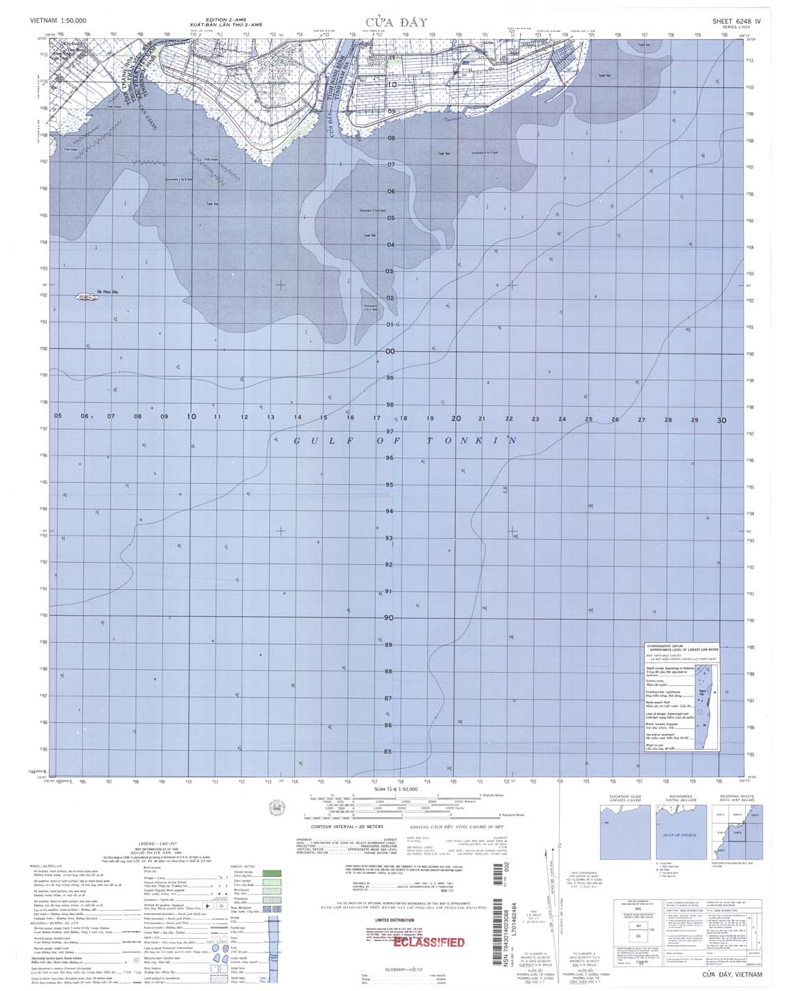
| Cua Day | 6248_4 | 1966 | 20 | NIMA | 6248_4.jpg | 6248_4.tif | 6248_4.zip |
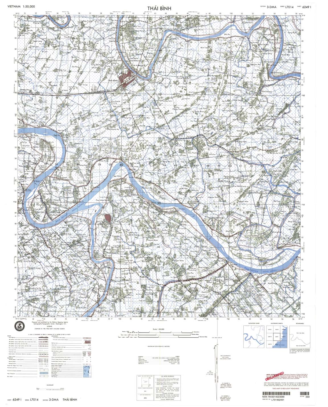
| Thai Binh | 6249_1 | 1984 | 5 | DMA | 6249_1.jpg | 6249_1.tif | 6249_1.zip |
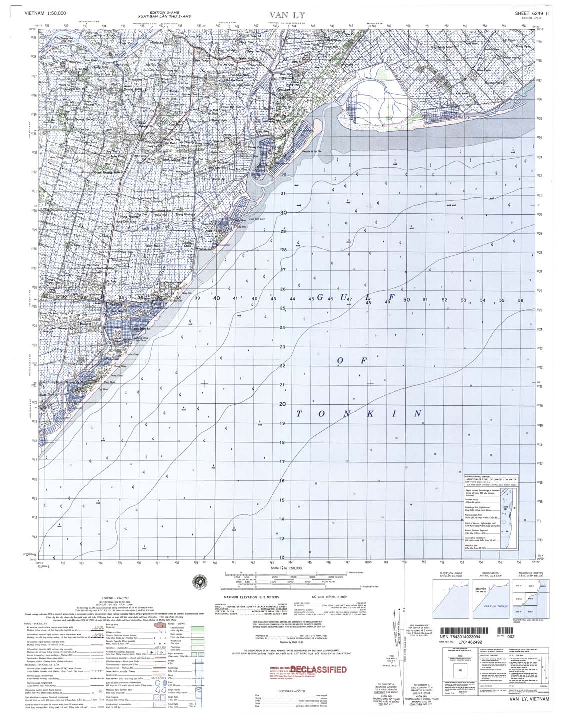
| Van Ly | 6249_2 | 1966 | 2 | NIMA | 6249_2.jpg | 6249_2.tif | 6249_2.zip |
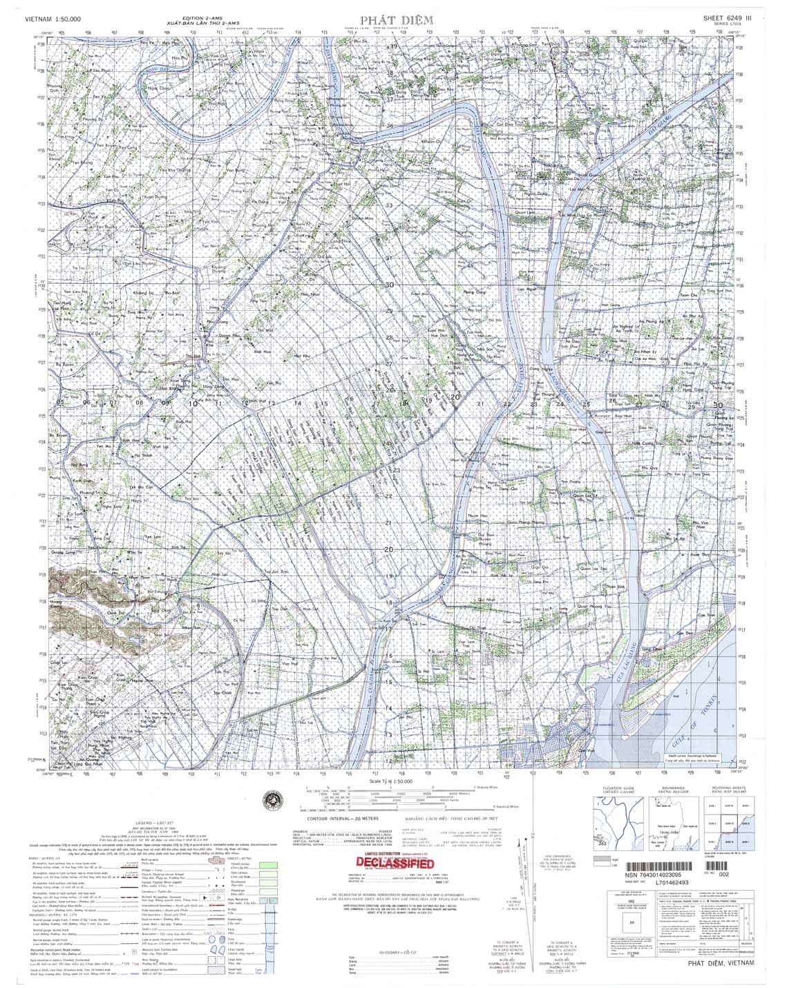
| Phat Diem | 6249_3 | 1966 | 20 | NIMA | 6249_3.jpg | 6249_3.tif | 6249_3.zip |
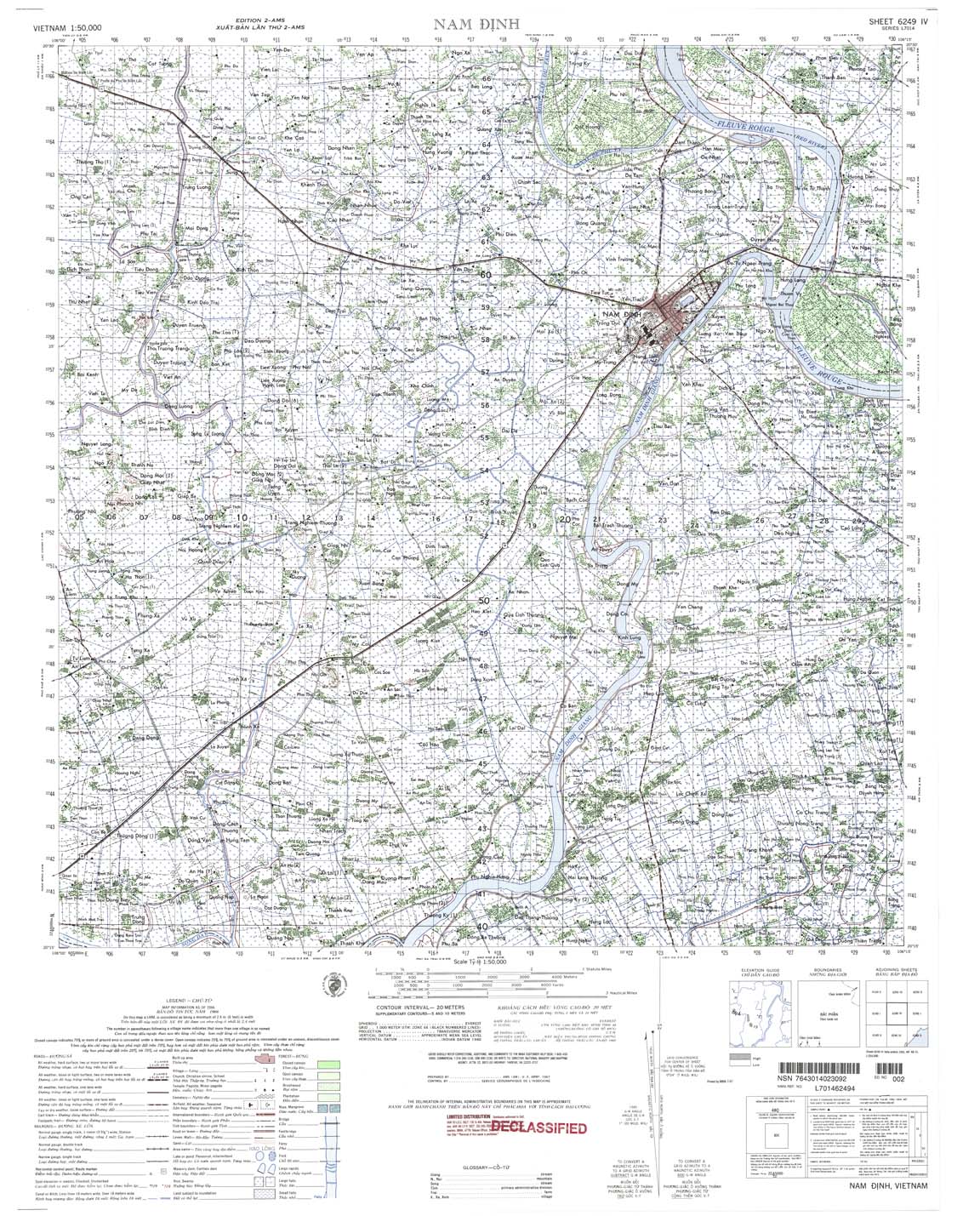
| Nam Dinh | 6249_4 | 1966 | 20 | US Army | 6249_4.jpg | 6249_4.tif | 6249_4.zip |
| Hai Duong | 6250_1 | 1984 | 10 | NIMA | 6250_1.jpg | 6250_1.tif | 6250_1.zip |
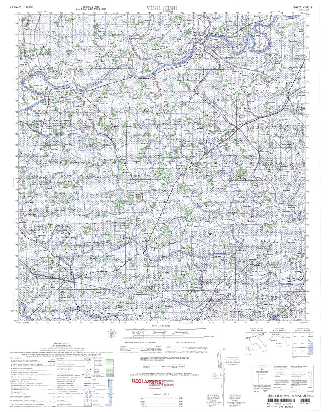
| Vinh Ninh | 6250_2 | 1966 | 5 | NIMA | 6250_2.jpg | 6250_2.tif | 6250_2.zip |
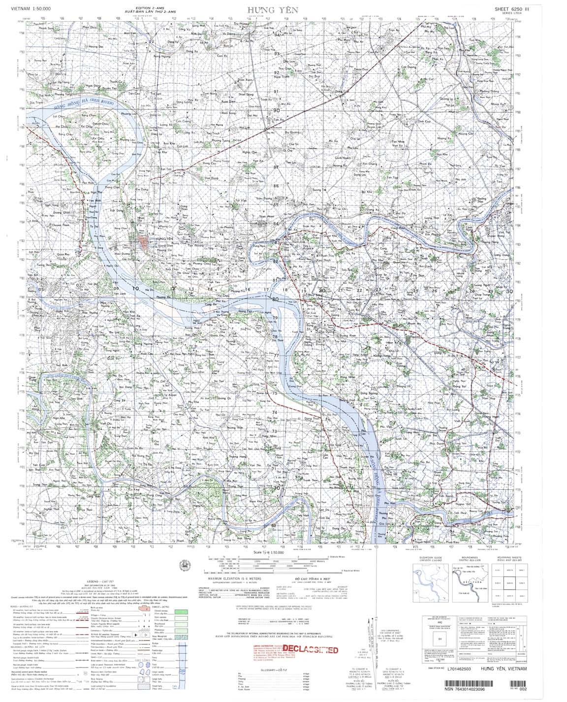
| Hung Yen | 6250_3 | 1966 | 6 | US Army | 6250_3.jpg | 6250_3.tif | 6250_3.zip |
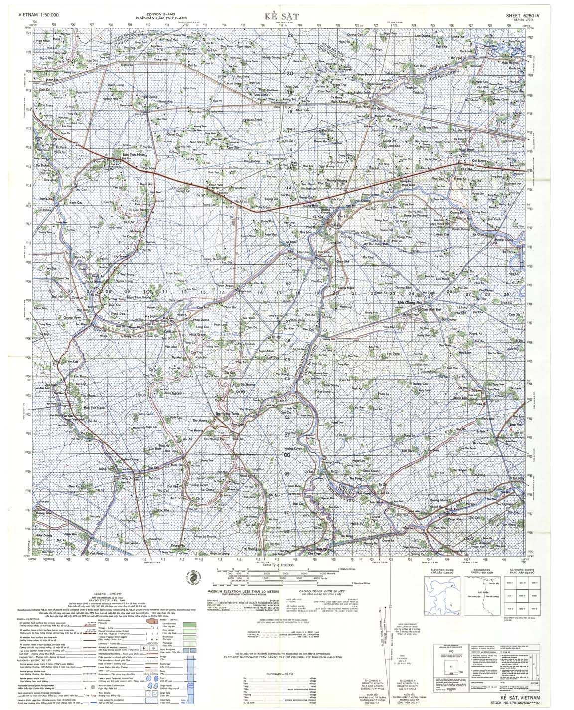
| Ke Sat | 6250_4 | 1966 | 20 | US Army | 6250_4.jpg | 6250_4.tif | 6250_4.zip |
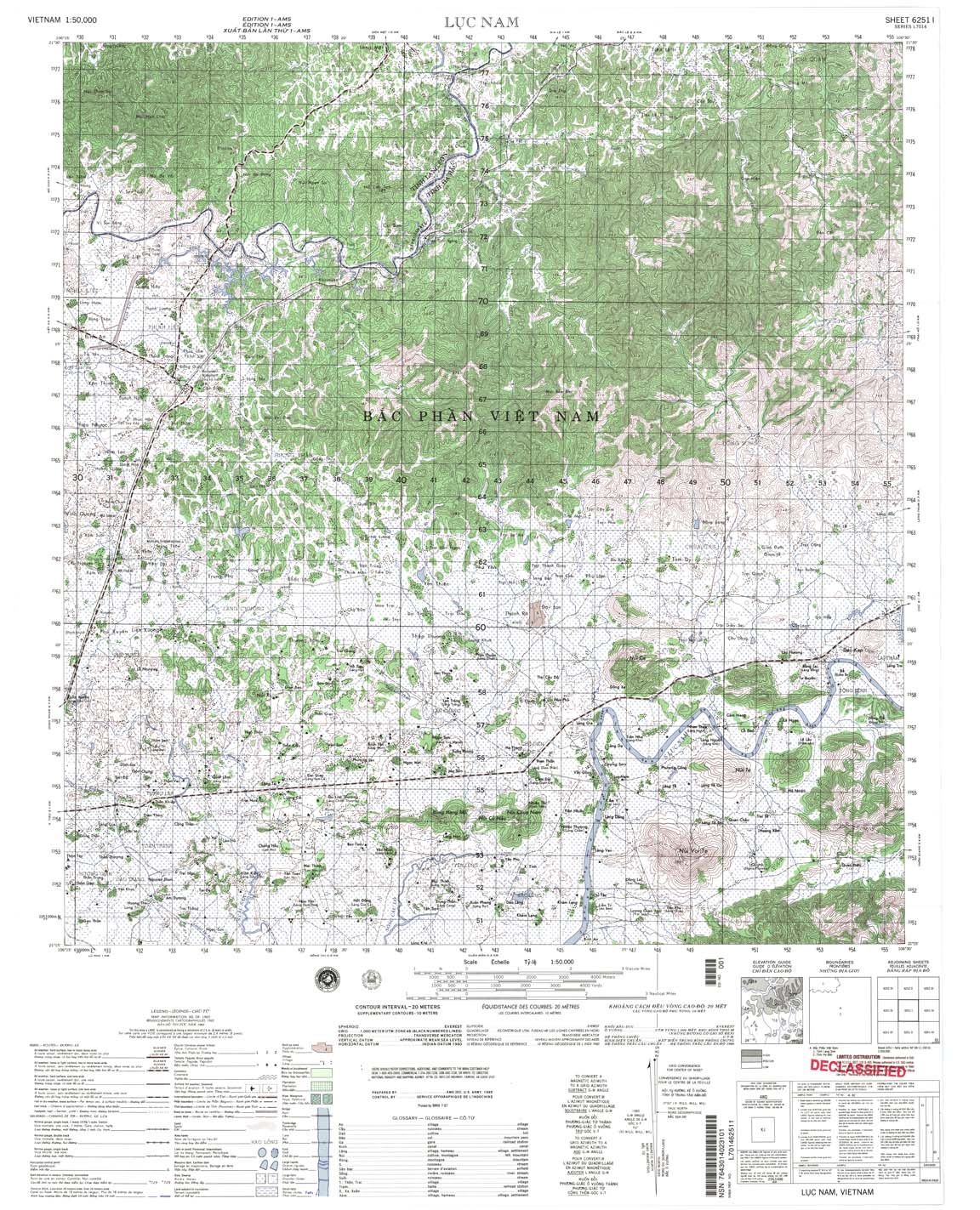
| Luc Nam | 6251_1 | 1965 | 20 | NIMA | 6251_1.jpg | 6251_1.tif | 6251_1.zip |
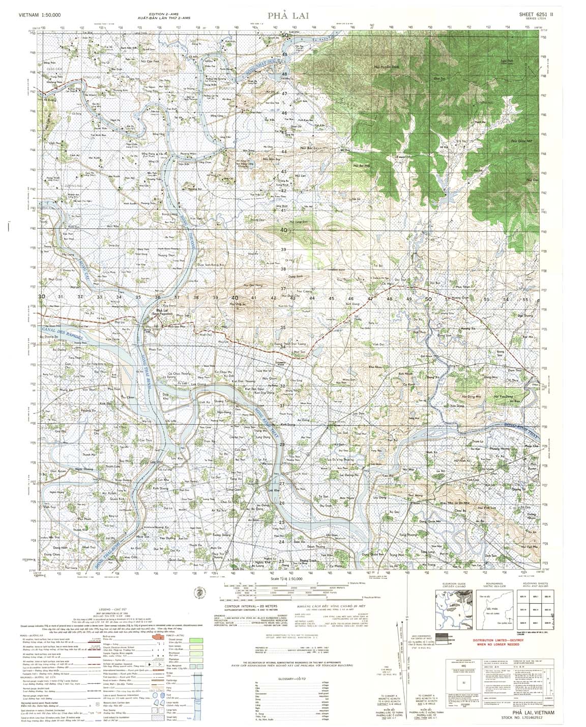
| Pha Lai | 6251_2 | 1966 | 20 | US Army | 6251_2.jpg | 6251_2.tif | 6251_2.zip |
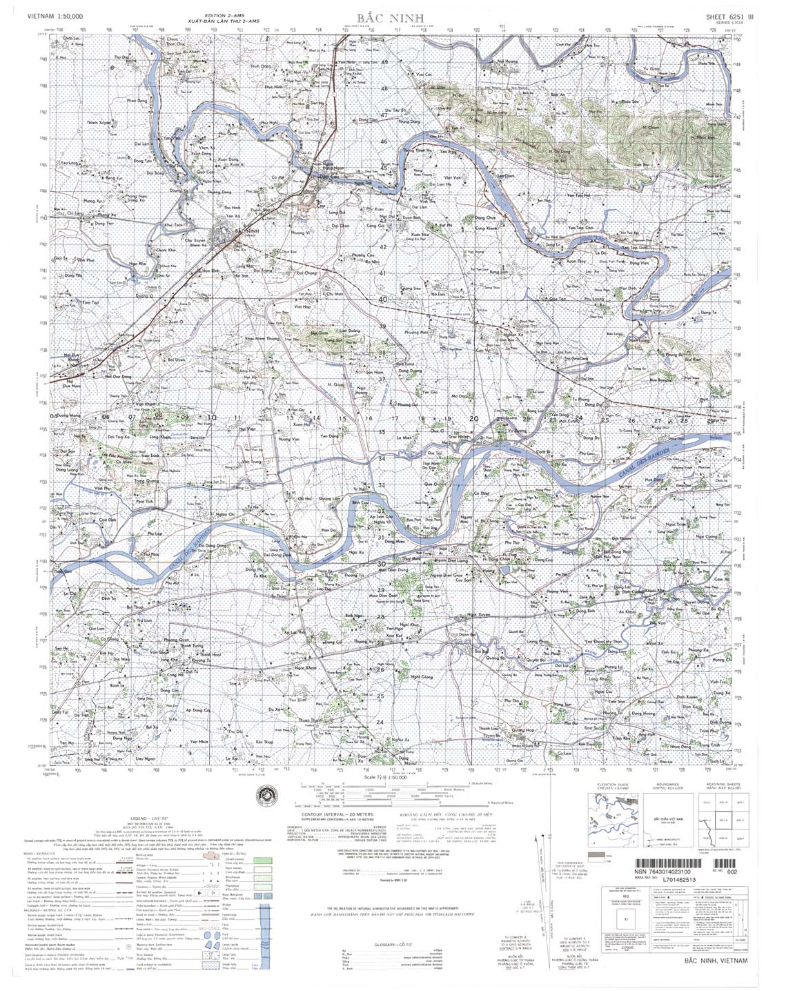
| Bac Ninh | 6251_3 | 1966 | 20 | NIMA | 6251_3.jpg | 6251_3.tif | 6251_3.zip |
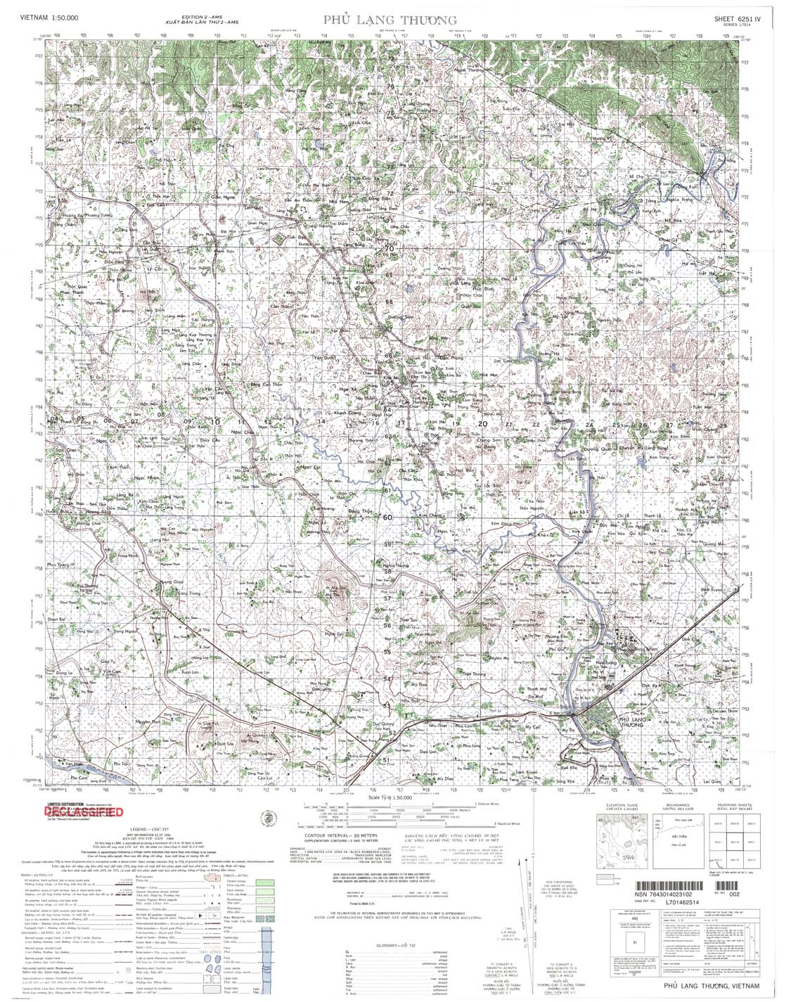
| Phu Lang Thuong | 6251_4 | 1966 | 20 | NIMA | 6251_4.jpg | 6251_4.tif | 6251_4.zip |
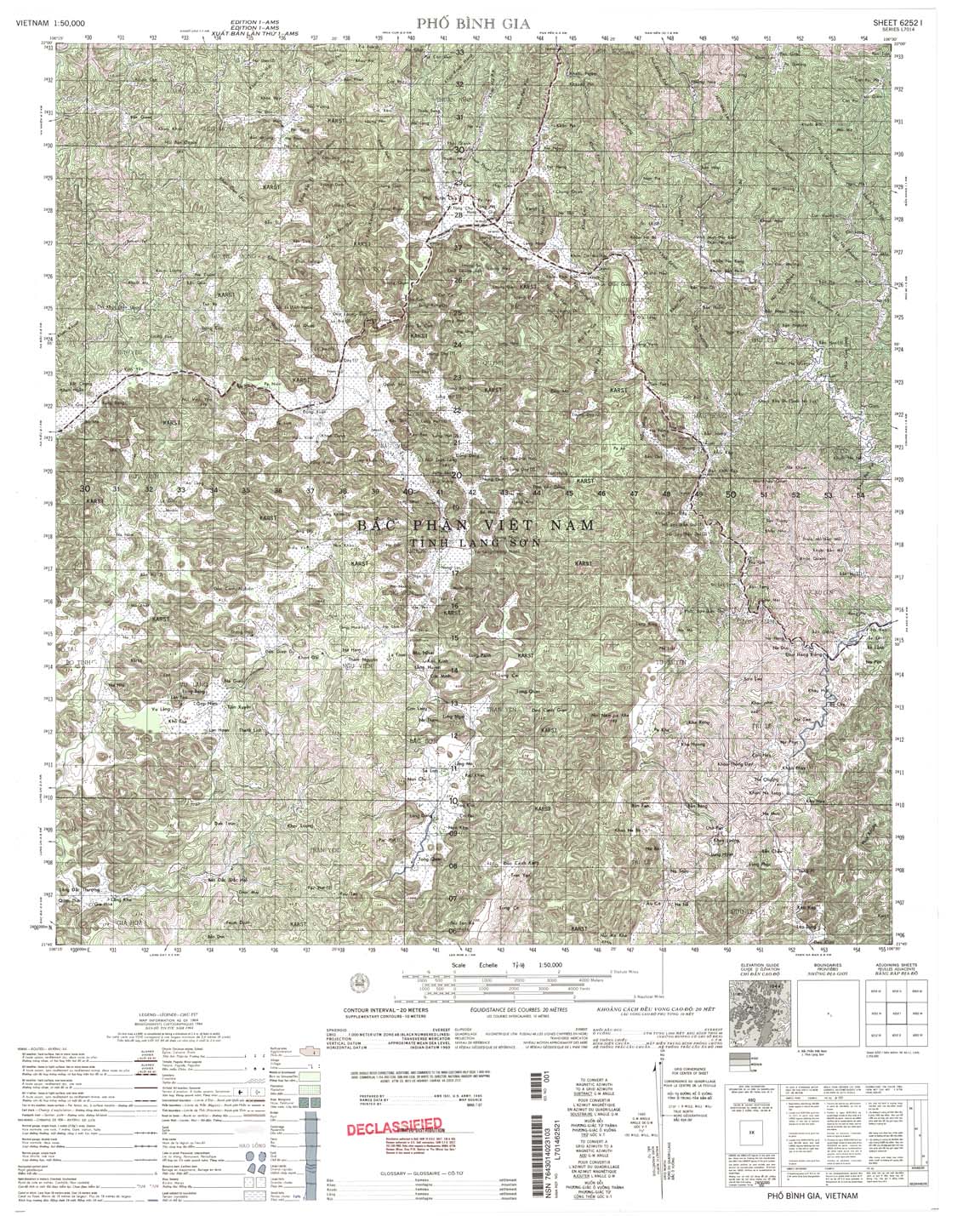
| Pho Binh Gia | 6252_1 | 1964 | 20 | NIMA | 6252_1.jpg | 6252_1.tif | 6252_1.zip |
| Lang Met | 6252_2 | 1964 | 20 | NIMA | 6252_2.jpg | 6252_2.tif | 6252_2.zip |
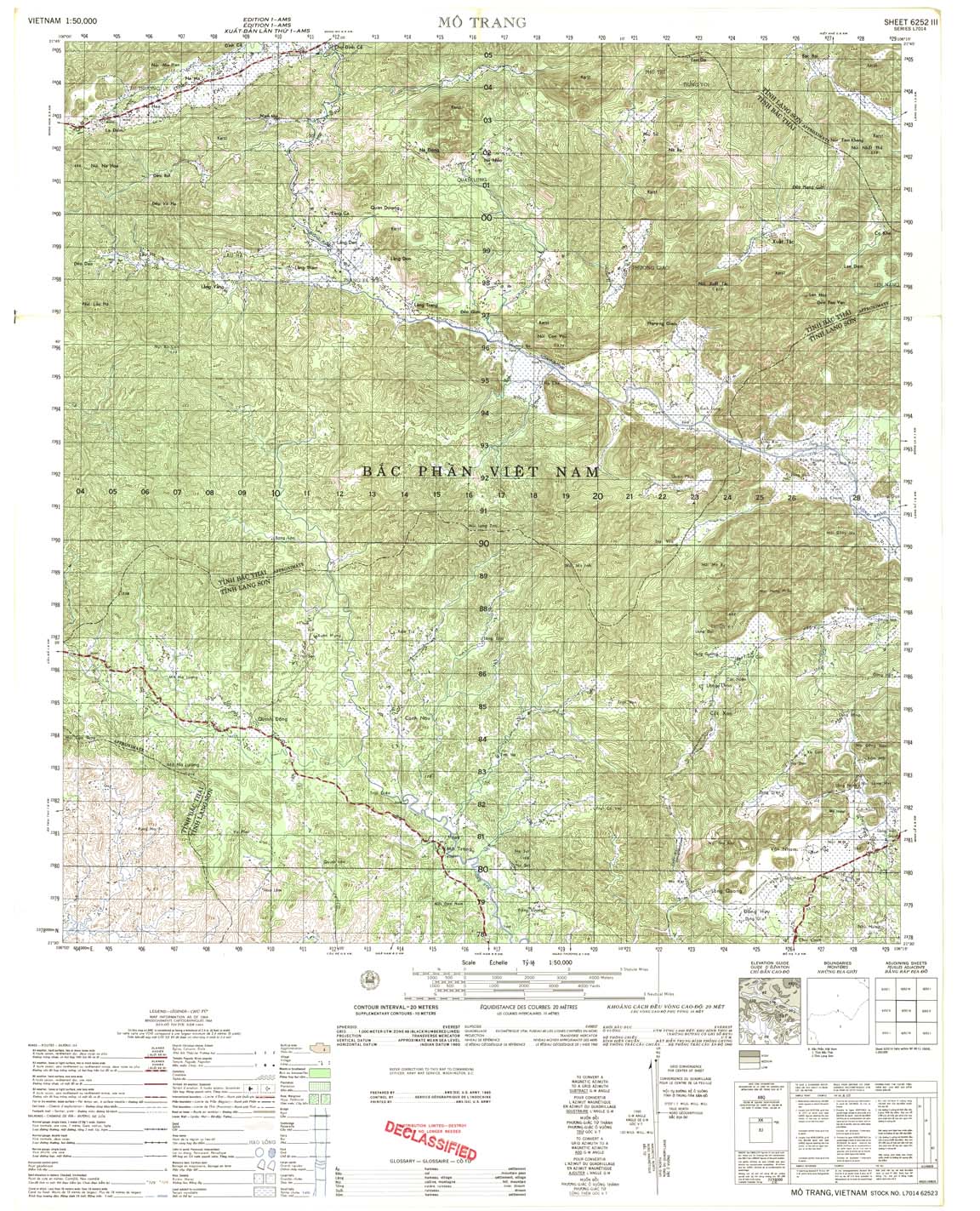
| Mo Trang | 6252_3 | 1964 | 20 | US Army | 6252_3.jpg | 6252_3.tif | 6252_3.zip |
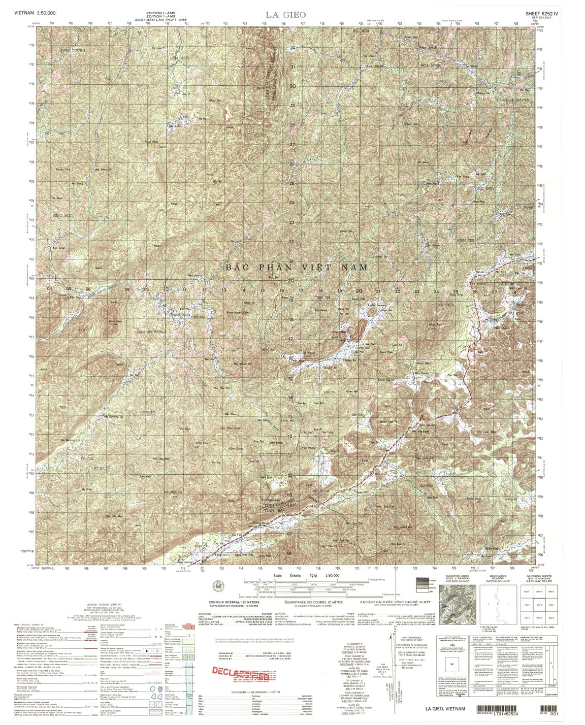
| La Gieo | 6252_4 | 1964 | 20 | US Army | 6252_4.jpg | 6252_4.tif | 6252_4.zip |
| That Khe | 6253_1 | 1966 | 20 | US Army | 6253_1.jpg | 6253_1.tif | 6253_1.zip |
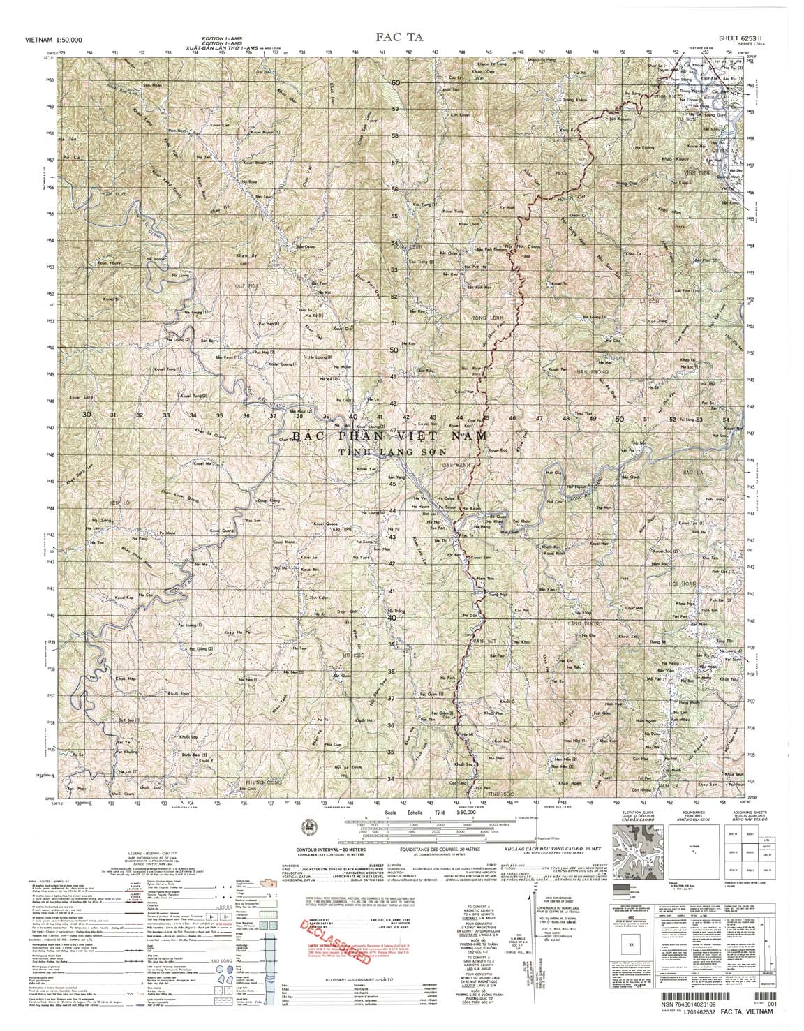
| Faz Ta | 6253_2 | 1964 | 20 | US Army | 6253_2.jpg | 6253_2.tif | 6253_2.zip |
| Yen Lac | 6253_3 | 1964 | 20 | US Army | 6253_3.jpg | 6253_3.tif | 6253_3.zip |
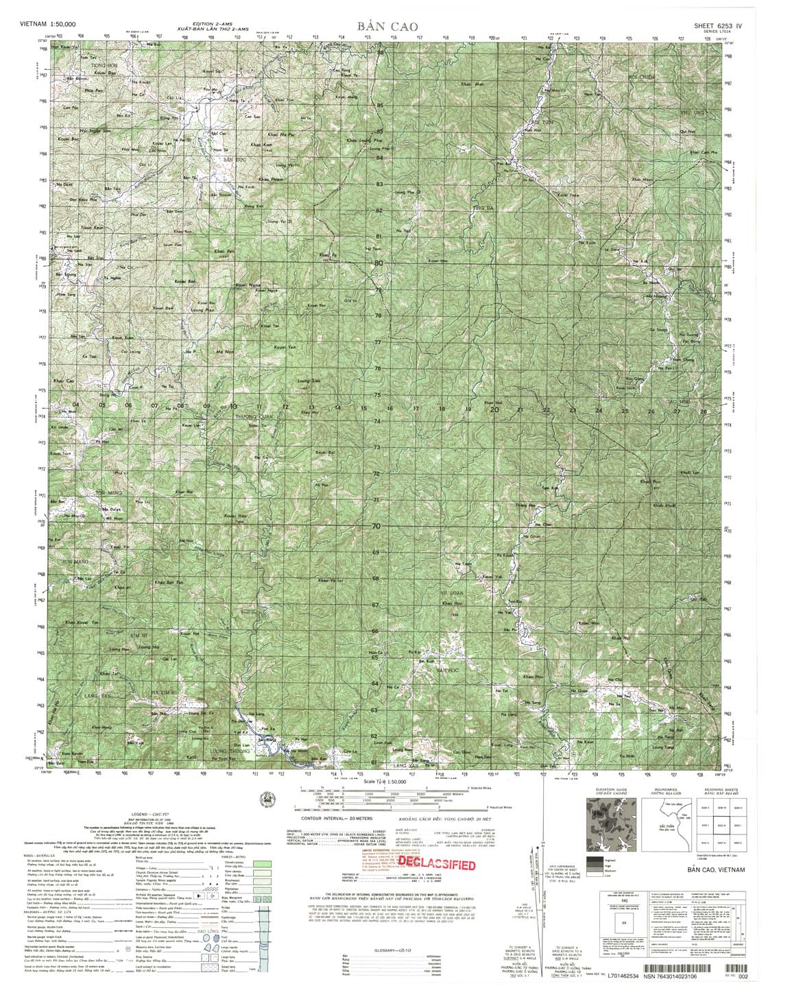
| Ban Cao | 6253_4 | 1966 | 20 | US Army | 6253_4.jpg | 6253_4.tif | 6253_4.zip |
| Tra Linh | 6254_1 | 1963 | 20 | US Army | 6254_1.jpg | 6254_1.tif | 6254_1.zip |
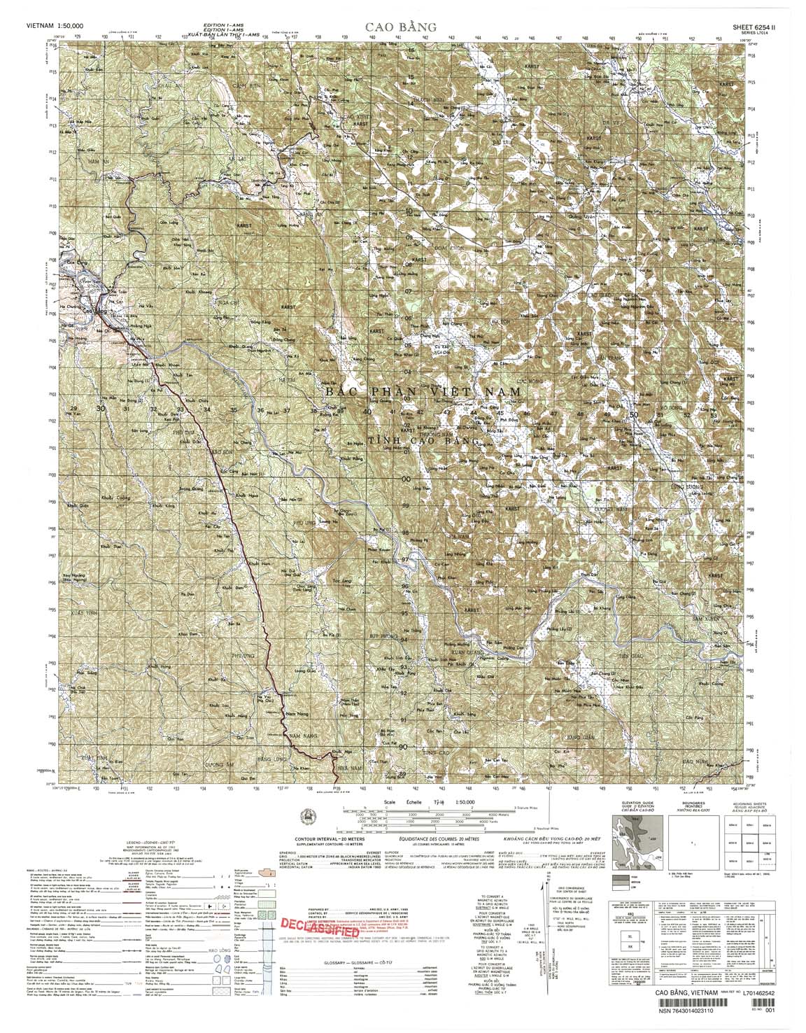
| Cao Bang | 6254_2 | 1963 | 20 | US Army | 6254_2.jpg | 6254_2.tif | 6254_2.zip |
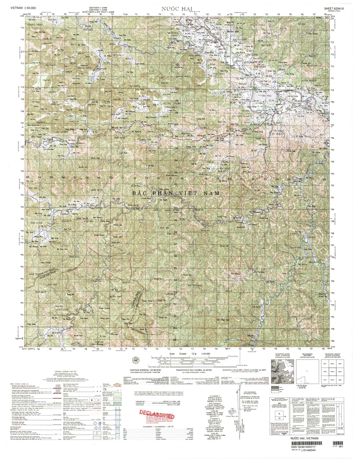
| Nuoc Hai | 6254_3 | 1964 | 20 | US Army | 6254_3.jpg | 6254_3.tif | 6254_3.zip |
| Soc Giang | 6254_4 | 1966 | 20 | US Army | 6254_4.jpg | 6254_4.tif | 6254_4.zip |
| Ba Dong | 6328_3 | 1965 | 5 | US Army | 6328_3.jpg | 6328_3.tif | 6328_3.zip |
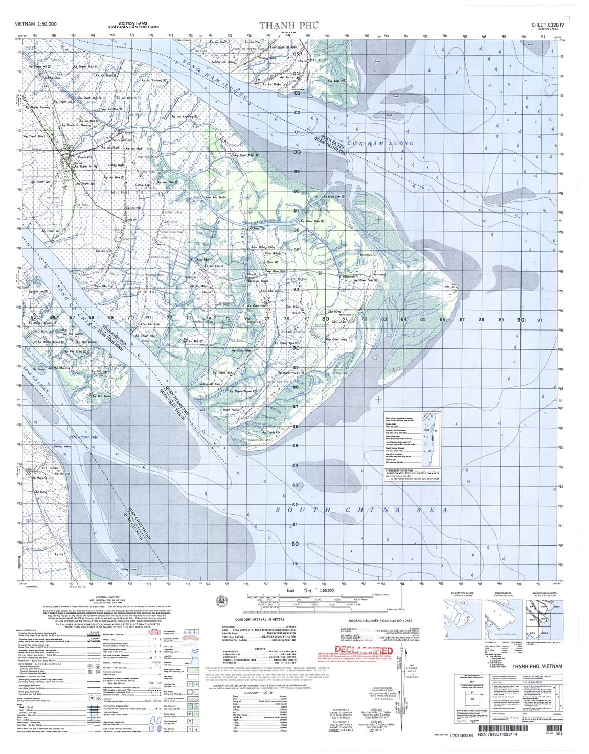
| Thanh Phu | 6328_4 | 1965 | 5 | US Army | 6328_4.jpg | 6328_4.tif | 6328_4.zip |
| Can Gio | 6329_1 | 1983 | 5 | DMA | 6329_1.jpg | 6329_1.tif | 6329_1.zip |
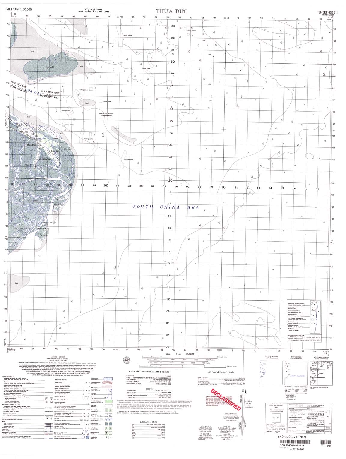
| Thua Duc | 6329_2 | 1965 | 5 | US Army | 6329_2.jpg | 6329_2.tif | 6329_2.zip |
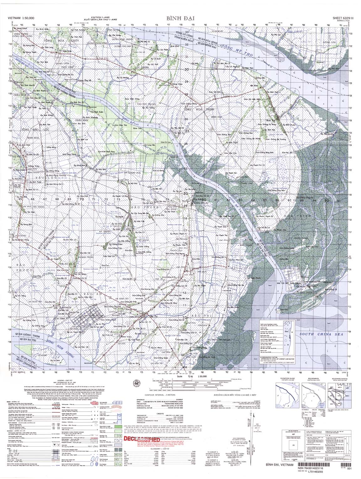
| Binh Dai | 6329_3 | 1965 | 5 merters | US Army | 6329_3.jpg | 6329_3.tif | 6329_3.zip |
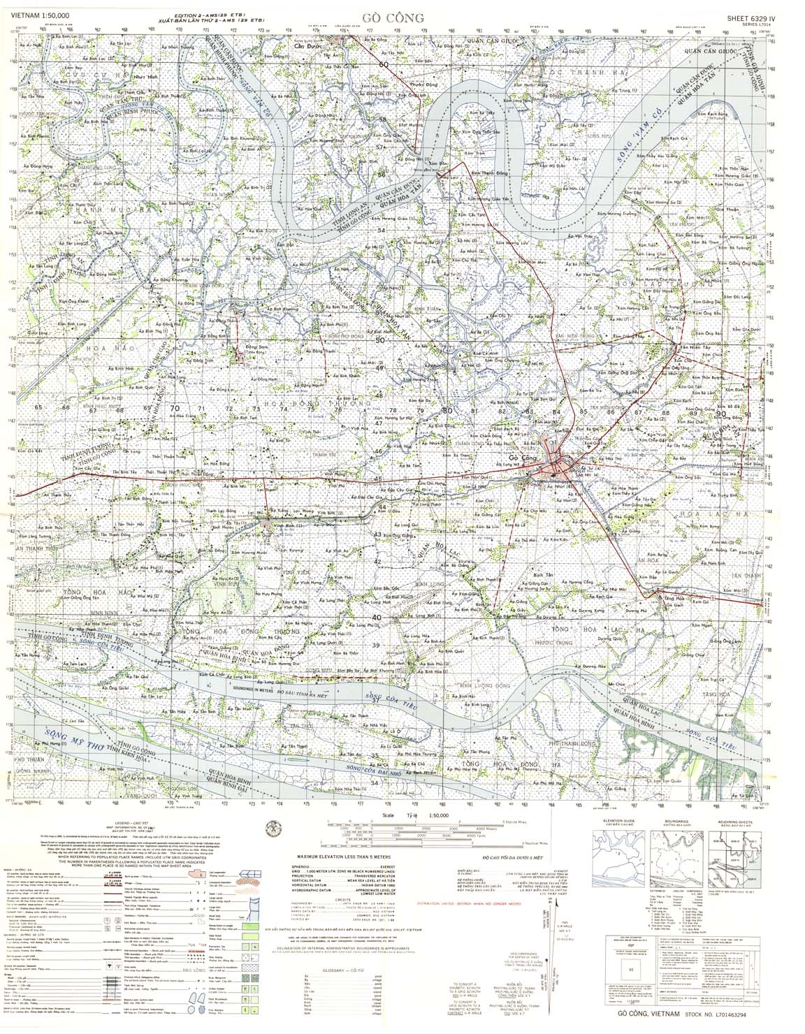
| Go Cong | 6329_4 | 1967 | 5 | NIMA | 6329_4.jpg | 6329_4.tif | 6329_4.zip |
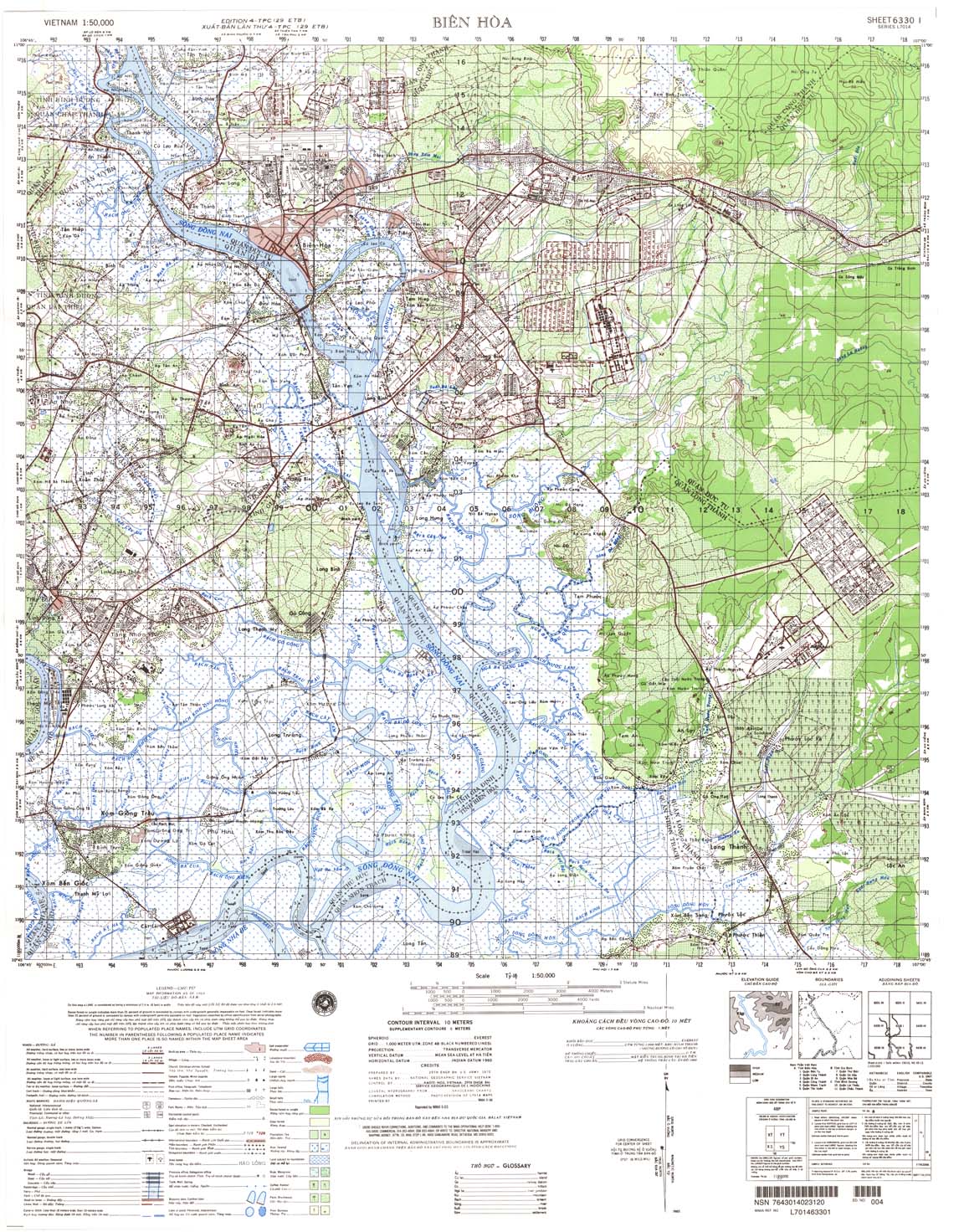
| Bien Hoa | 6330_1 | 1969 | 10 | NIMA | 6330_1.jpg | 6330_1.tif | 6330_1.zip |
| Nhon Trach | 6330_2 | 1969 | 10-May | NIMA | 6330_2.jpg | 6330_2.tif | 6330_2.zip |
| Can Giuoc | 6330_3 | 1970 | 10 | NIMA | 6330_3.jpg | 6330_3.tif | 6330_3.zip |
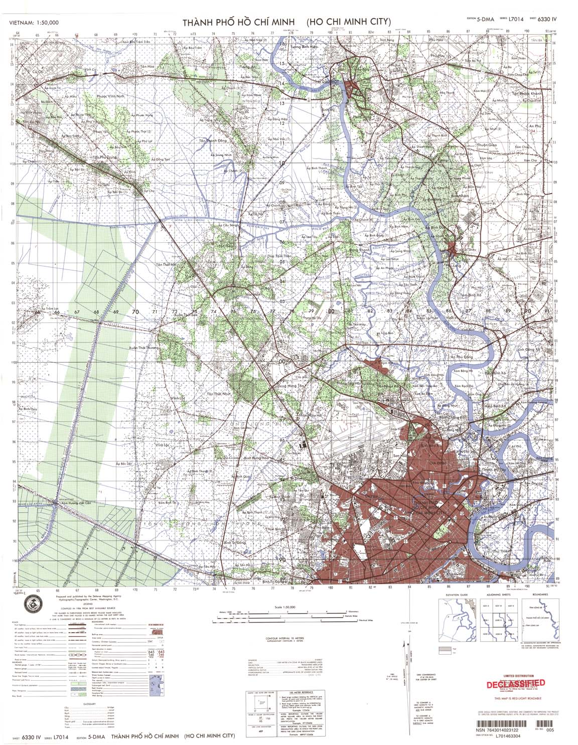
| Thanh Pho Ho Chi Minh | 6330_4 | 1984 | 10 | DMA | 6330_4.jpg | 6330_4.tif | 6330_4.zip |
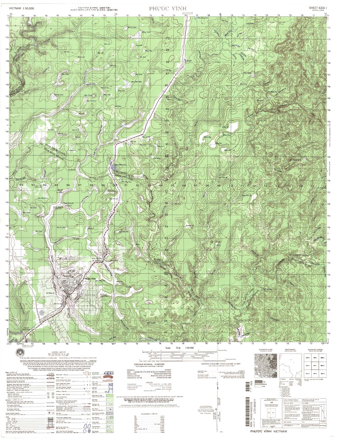
| Phuoc Vinh | 6331_1 | 1969 | 10 | NIMA | 6331_1.jpg | 6331_1.tif | 6331_1.zip |
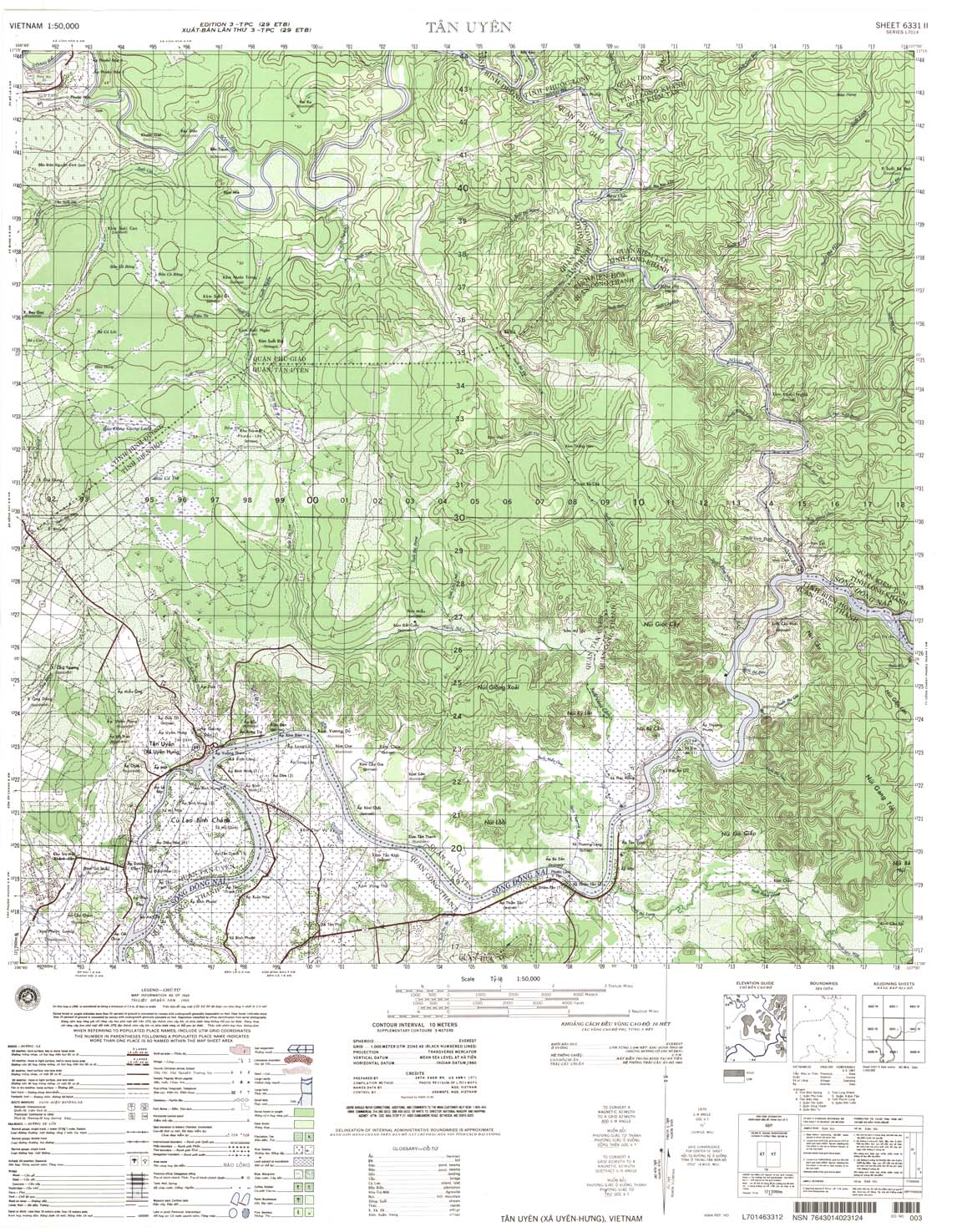
| Tan Uyen | 6331_2 | 1969 | 10 | NIMA | 6331_2.jpg | 6331_2.tif | 6331_2.zip |
| Ben Cat | 6331_3 | 1968 | 10 | NIMA | 6331_3.jpg | 6331_3.tif | 6331_3.zip |
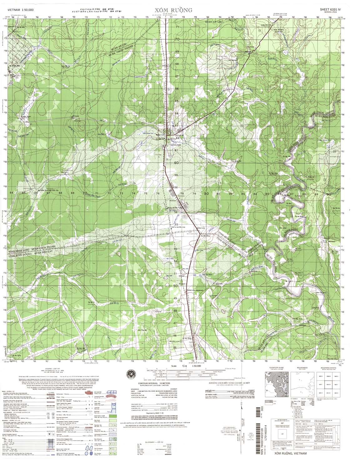
| Xom Ruong | 6331_4 | 1970 | 10 | NIMA | 6331_4.jpg | 6331_4.tif | 6331_4.zip |
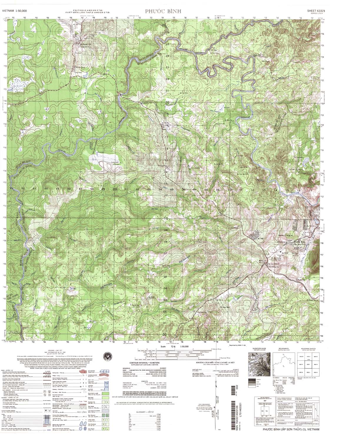
| Phuoc Binh | 6332_1 | 1968 | 10 | NIMA | 6332_1.jpg | 6332_1.tif | 6332_1.zip |
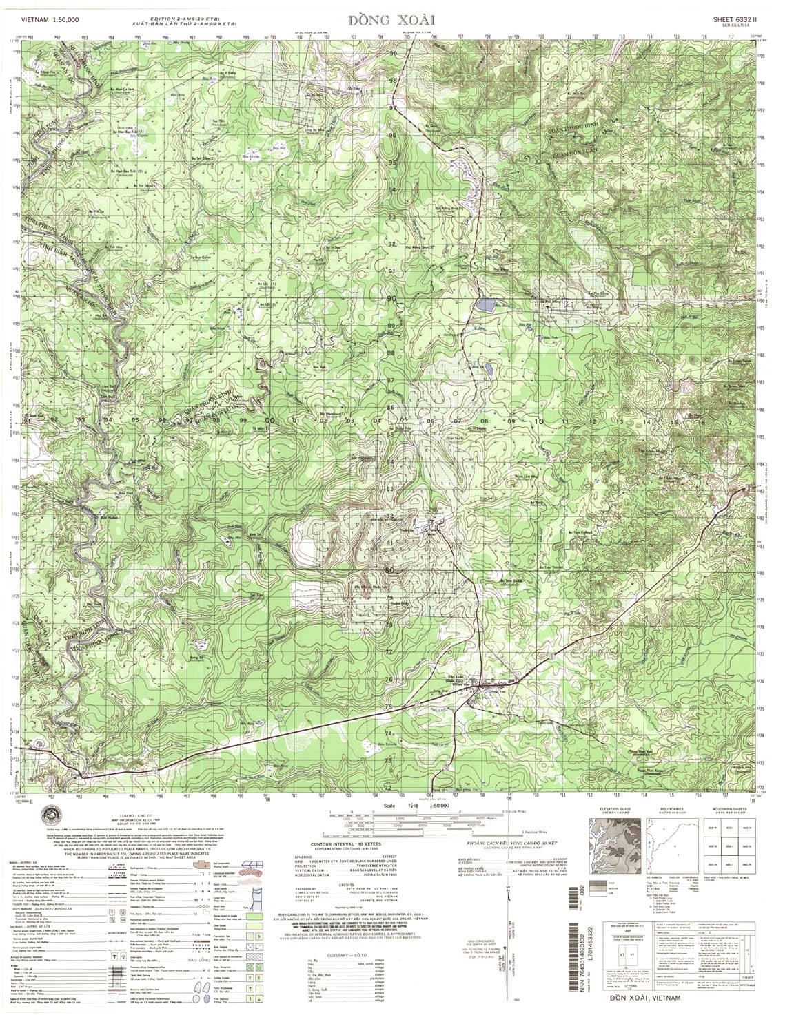
| Dong Xoai | 6332_2 | 1968 | 10 | US Army | 6332_2.jpg | 6332_2.tif | 6332_2.zip |
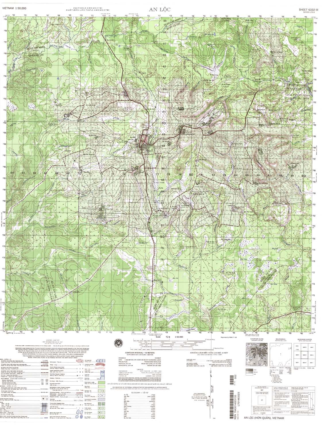
| An Loc | 6332_3 | 1967 | 10 | NIMA | 6332_3.jpg | 6332_3.tif | 6332_3.zip |
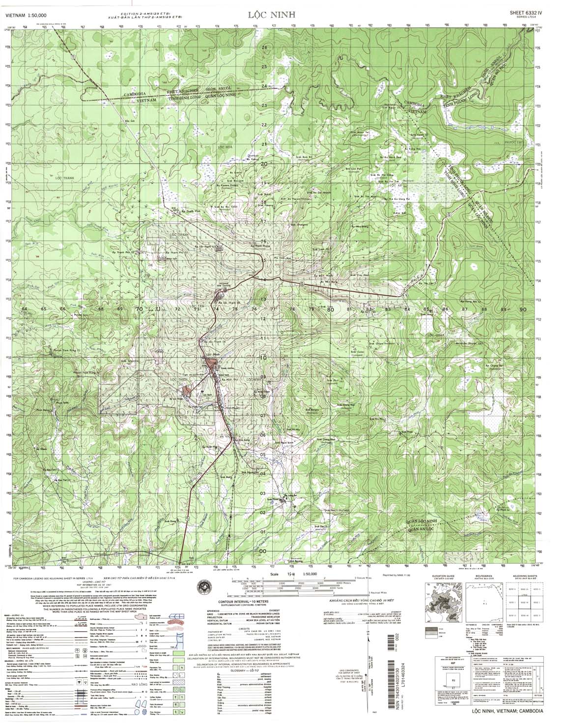
| Loc Ninh | 6332_4 | 1967 | 10 | US Army | 6332_4.jpg | 6332_4.tif | 6332_4.zip |
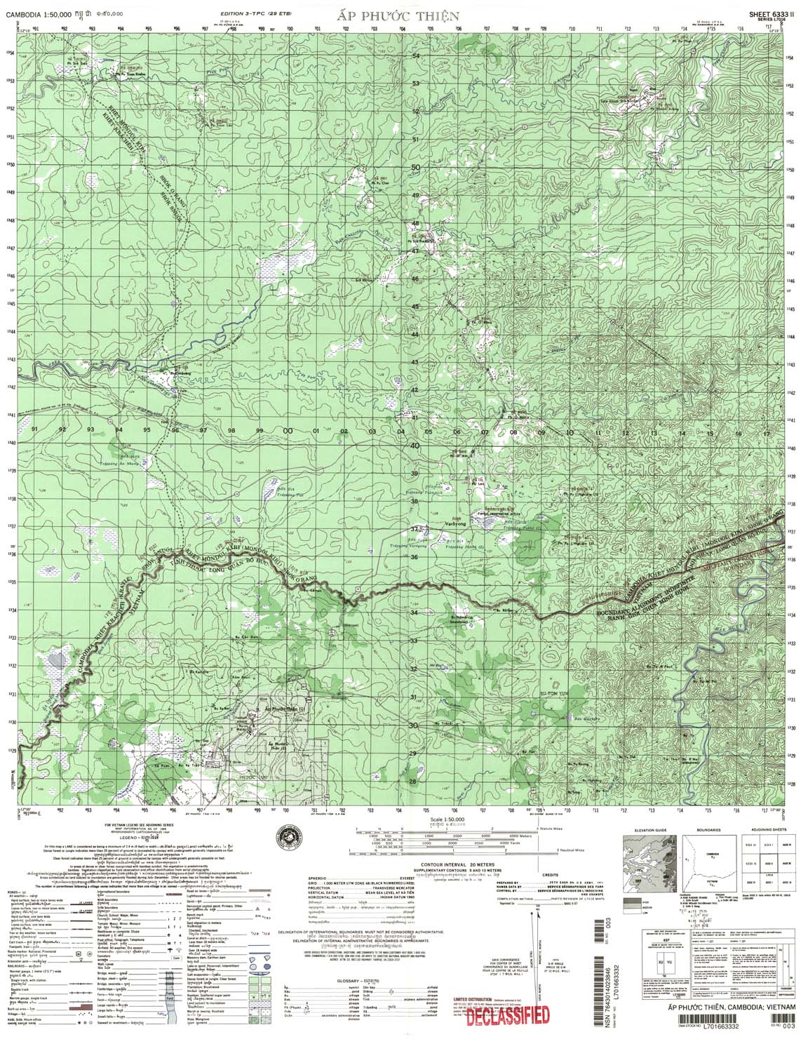
| Ap Phuoc Thien | 6333_2 | 1969 | 20 | NIMA | 6333_2.jpg | 6333_2.tif | 6333_2.zip |
| Meak Say | 6333_3 | 20 | US Army | 6333_3.jpg | 6333_3.tif | 6333_3.zip | |
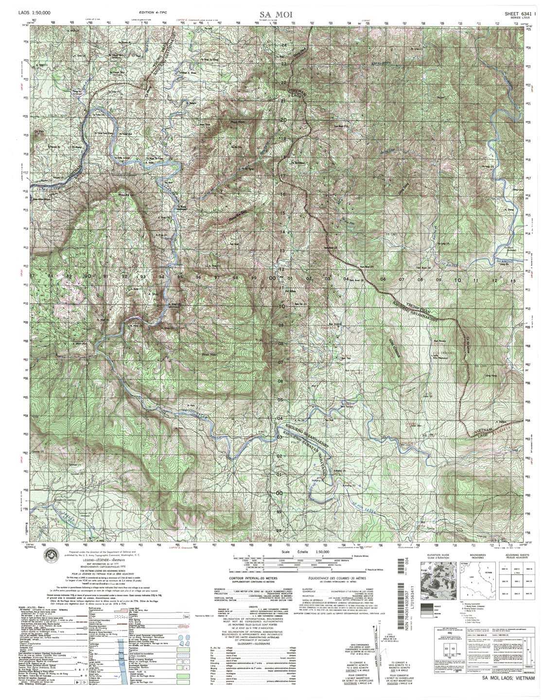
| Sa Moi | 6341_1 | 1970 | 20 | US Army | 6341_1.jpg | 6341_1.tif | 6341_1.zip |
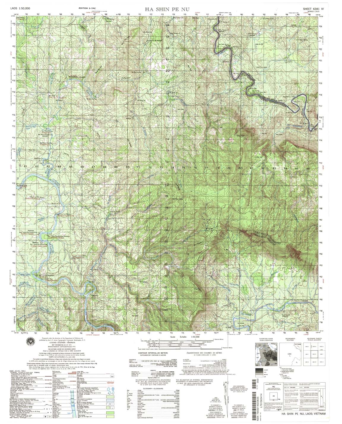
| Ha Shin Pe Nu | 6341_4 | 1970 | 20 | NIMA | 6341_4.jpg | 6341_4.tif | 6341_4.zip |
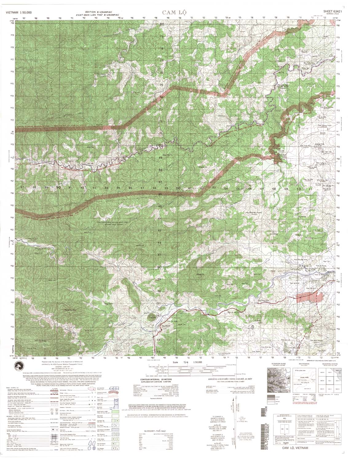
| Cam Lo | 6342_1 | 1971 | 20 | NGA | 6342_1.jpg | 6342_1.tif | 6342_1.zip |
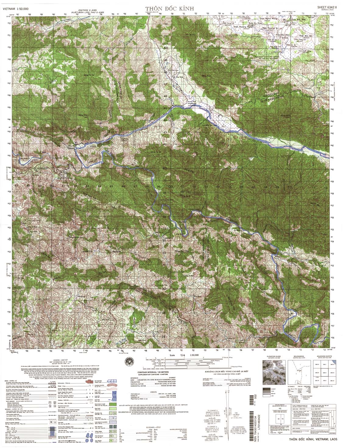
| Thon Doc Kinh | 6342_2 | 1968 | 20 | US Army | 6342_2.jpg | 6342_2.tif | 6342_2.zip |
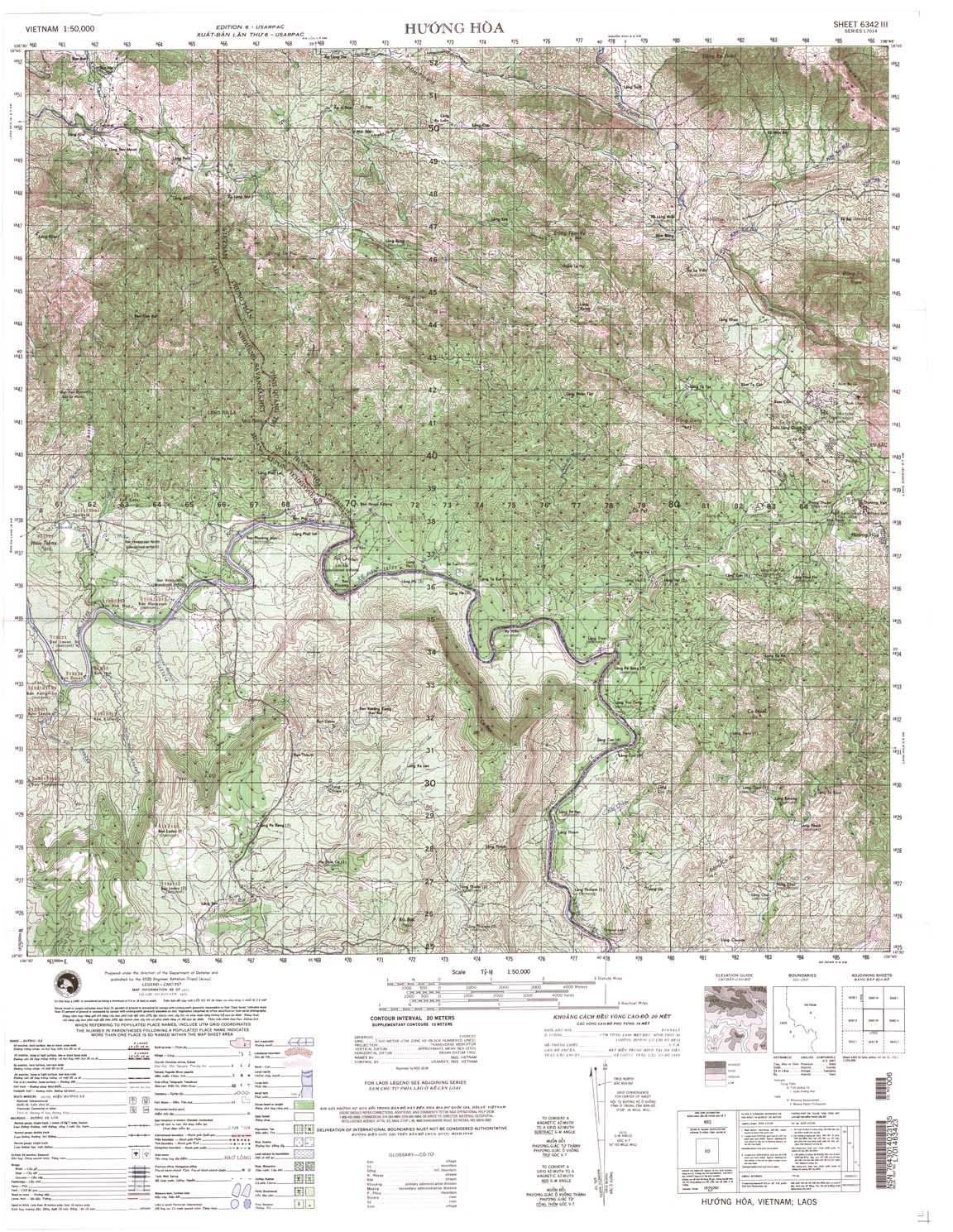
| Huong Hoa | 6342_3 | 1971 | 20 | NGA | 6342_3.jpg | 6342_3.tif | 6342_3.zip |
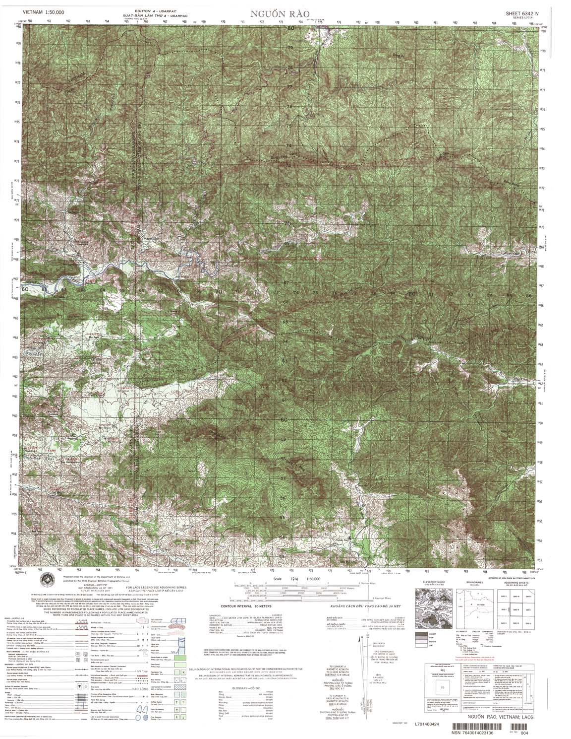
| Nguon Rao | 6342_4 | 1971 | 20 | NIMA | 6342_4.jpg | 6342_4.tif | 6342_4.zip |
| An Dinh | 6343_1 | 1965 | 20 | NIMA | 6343_1.jpg | 6343_1.tif | 6343_1.zip |
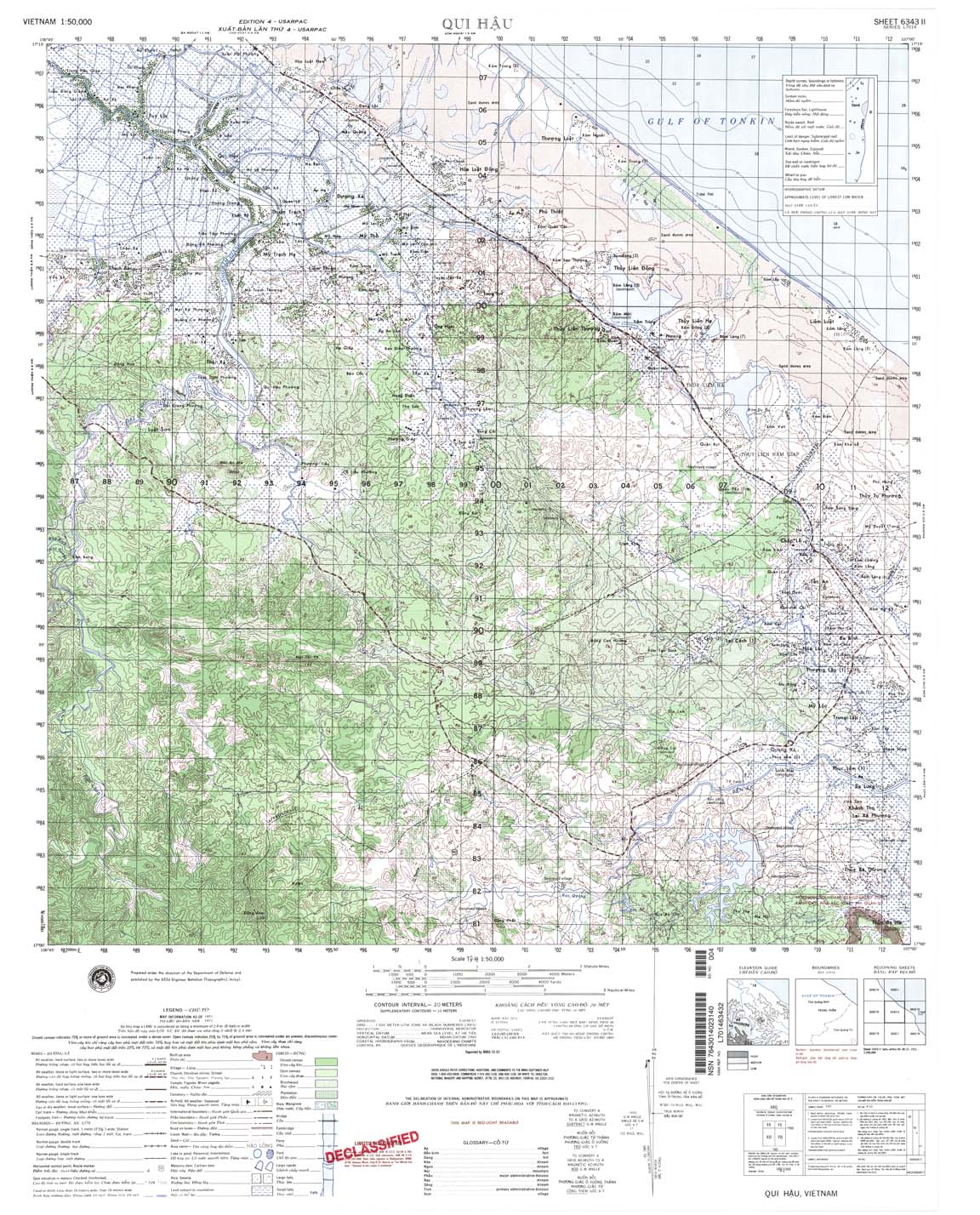
| Qui Hau | 6343_2 | 1971 | 20 | NIMA | 6343_2.jpg | 6343_2.tif | 6343_2.zip |
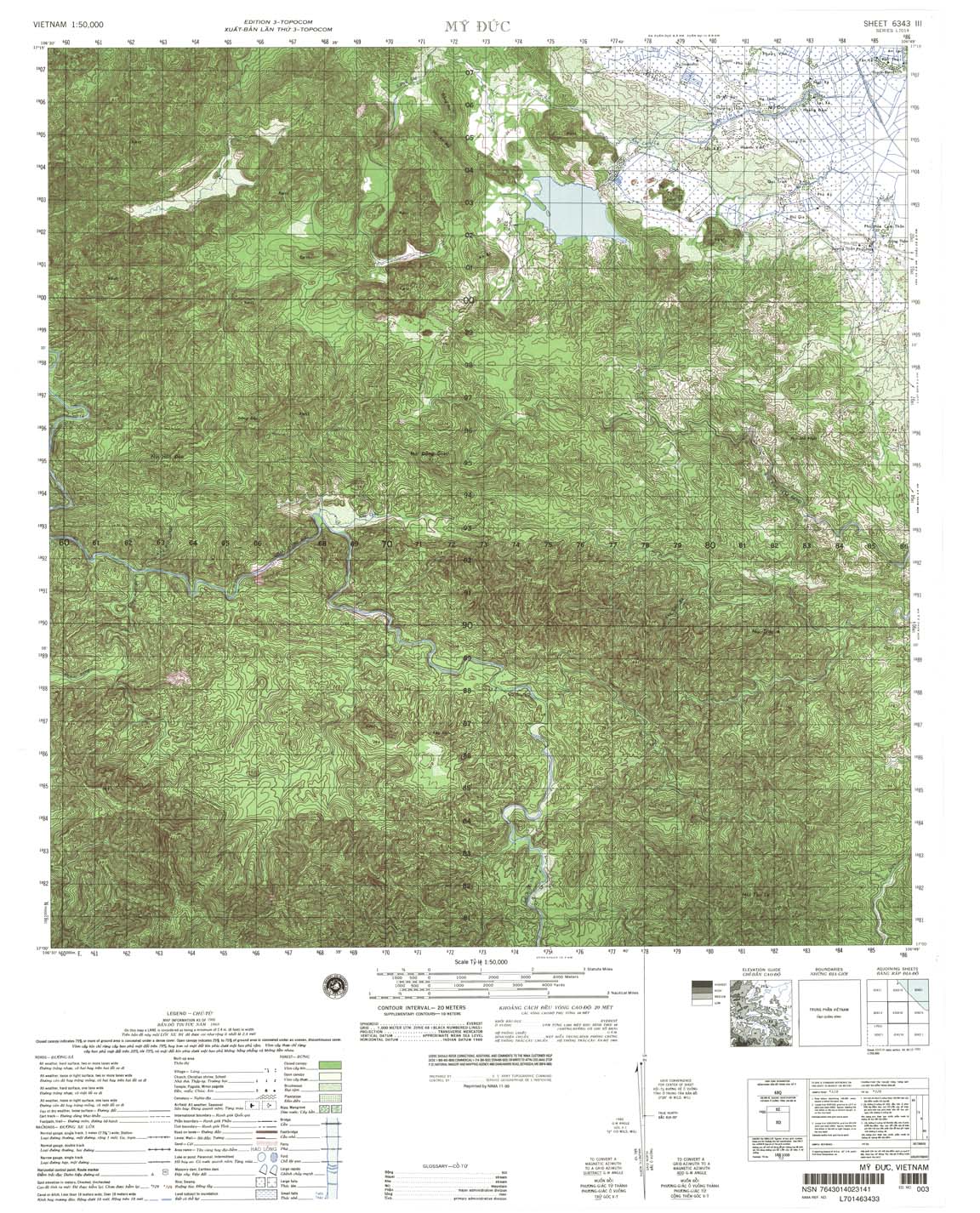
| My Duc | 6343_3 | 1968 | 20 | NIMA | 6343_3.jpg | 6343_3.tif | 6343_3.zip |
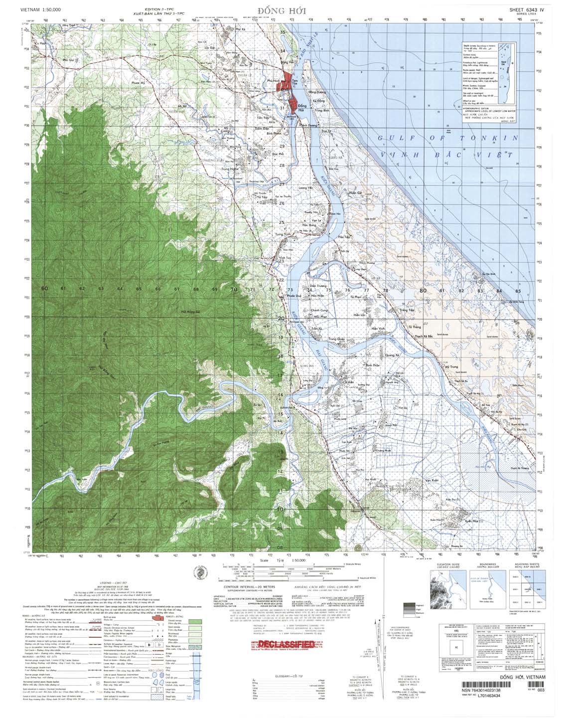
| Dong Hoi | 6343_4 | 1968 | 20 | US Army | 6343_4.jpg | 6343_4.tif | 6343_4.zip |
| Ly Hoa | 6344_3 | 1966 | 20 | US Army | 6344_3.jpg | 6344_3.tif | 6344_3.zip |
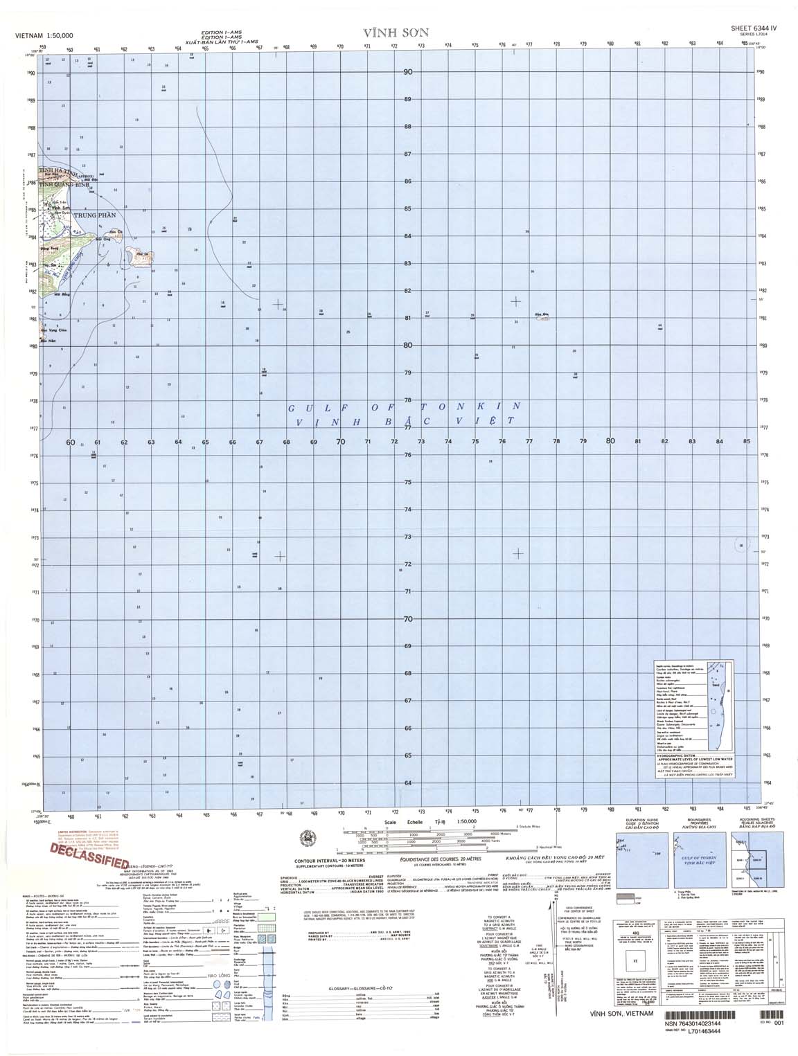
| Vinh Son | 6344_4 | 1965 | 20 | US Army | 6344_4.jpg | 6344_4.tif | 6344_4.zip |
| Cua Tra Ly | 6349_4 | 1967 | 10 | US Army | 6349_4.jpg | 6349_4.tif | 6349_4.zip |
| Quang Yen | 6350_1 | 1983 | 20 | DMA | 6350_1.jpg | 6350_1.tif | 6350_1.zip |
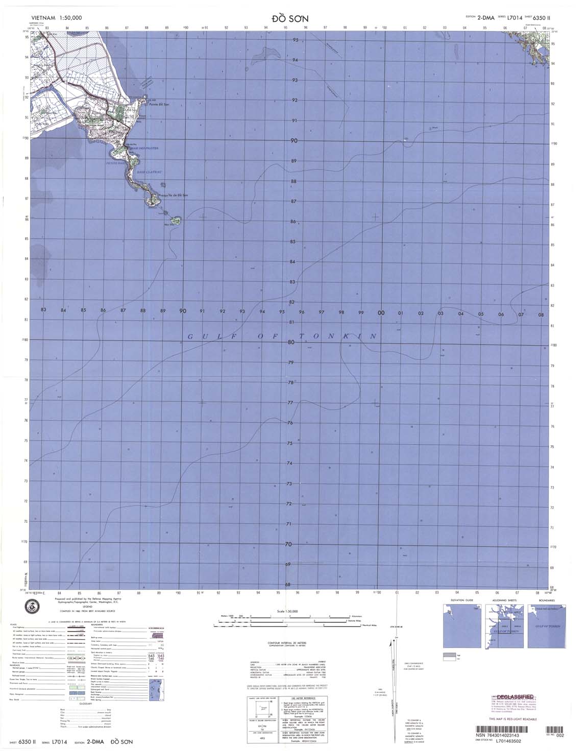
| Do Son | 6350_2 | 1983 | 20 | DMA | 6350_2.jpg | 6350_2.tif | 6350_2.zip |
| Thai Thuy | 6350_3 | 1984 | 20 | DMA | 6350_3.jpg | 6350_3.tif | 6350_3.zip |
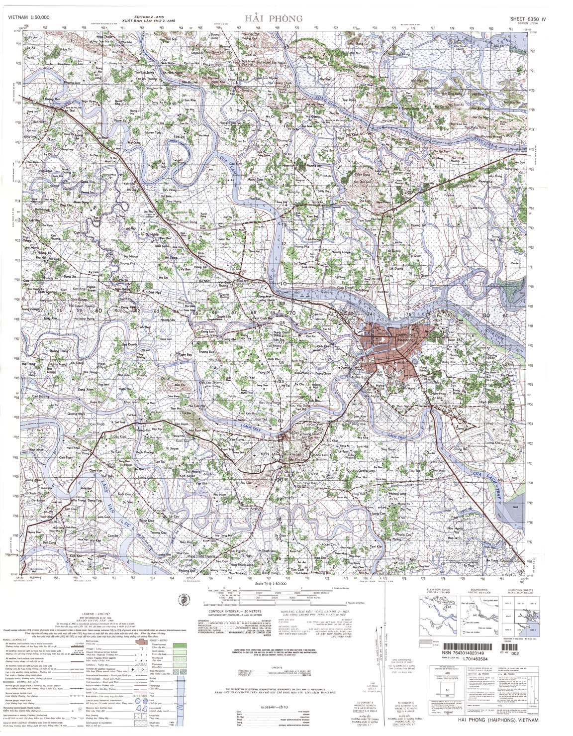
| Hai Phong | 6350_4 | 1966 | 20 | NIMA | 6350_4.jpg | 6350_4.tif | 6350_4.zip |
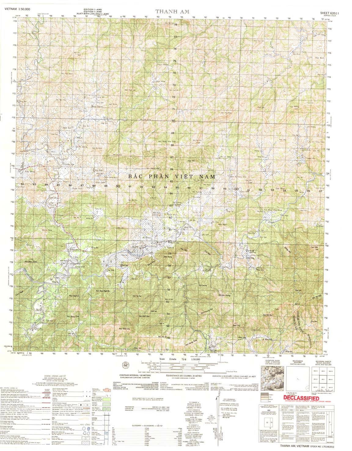
| Thanh Am | 6351_1 | 1965 | 20 | US Army | 6351_1.jpg | 6351_1.tif | 6351_1.zip |
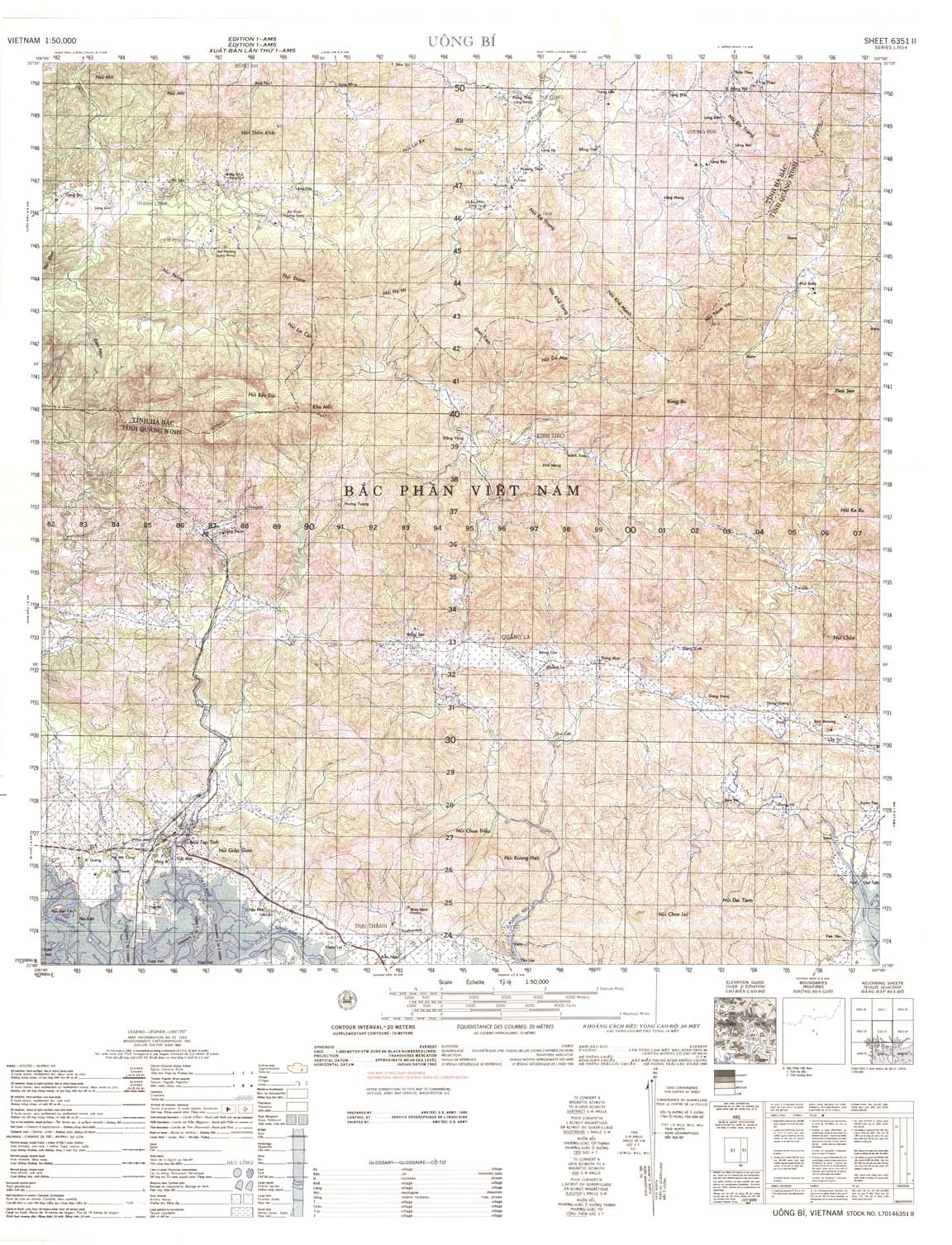
| Uong Bi | 6351_2 | 1965 | 20 | US Army | 6351_2.jpg | 6351_2.tif | 6351_2.zip |
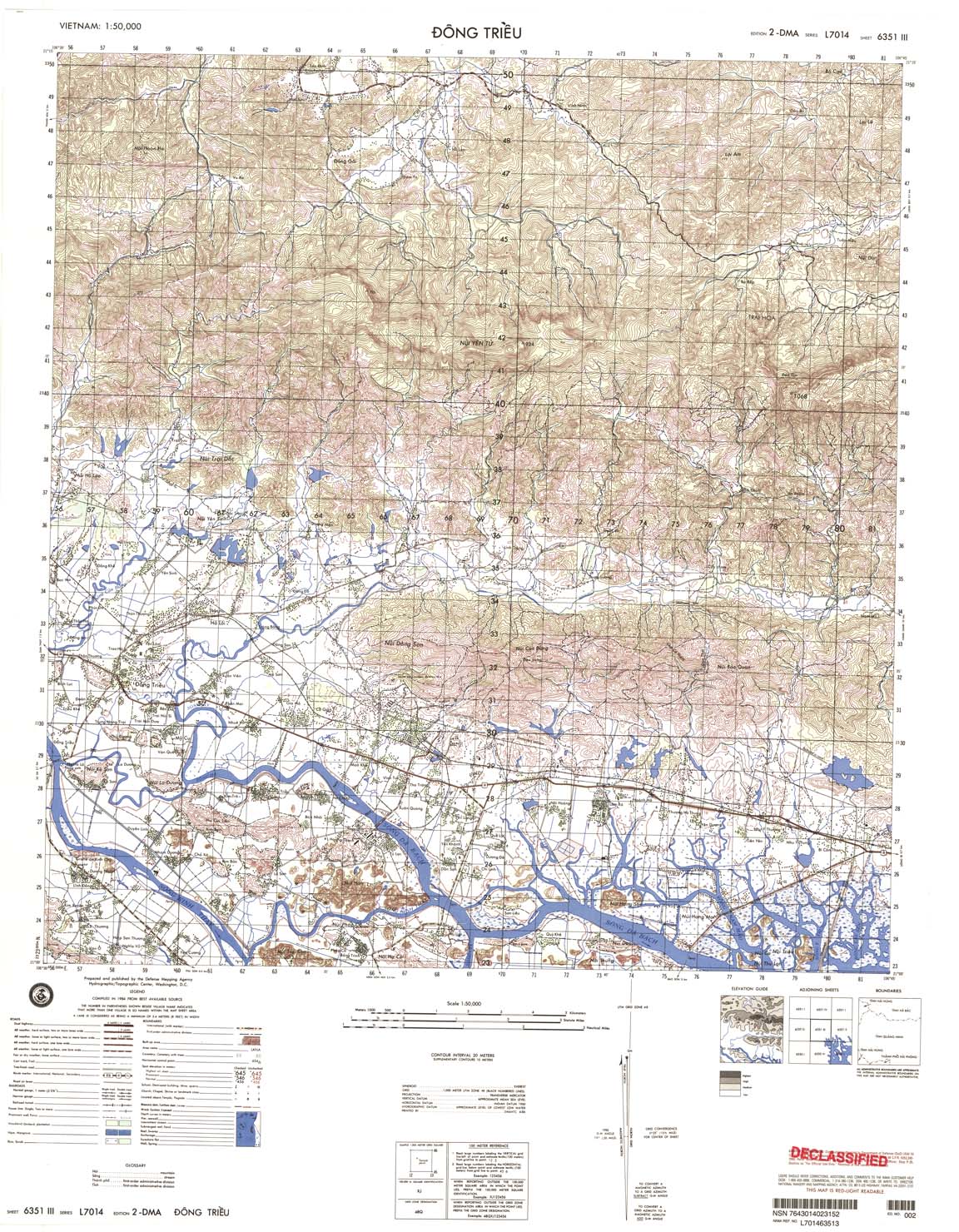
| Dong Trieu | 6351_3 | 1984 | 20 | DMA | 6351_3.jpg | 6351_3.tif | 6351_3.zip |
| Chu | 6351_4 | 1965 | 20 | NIMA | 6351_4.jpg | 6351_4.tif | 6351_4.zip |
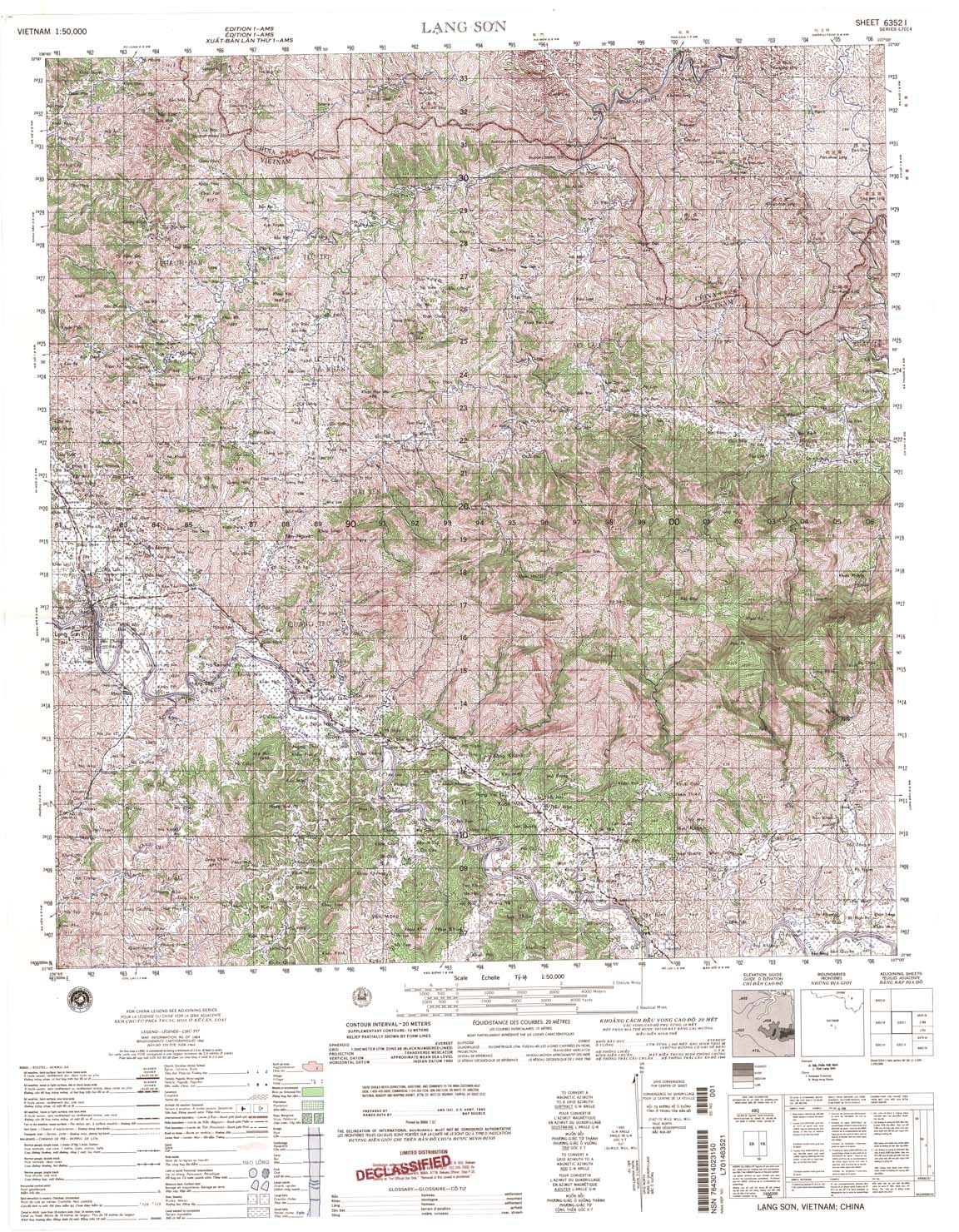
| Lang Son | 6352_1 | 1964 | 20 | NIMA | 6352_1.jpg | 6352_1.tif | 6352_1.zip |
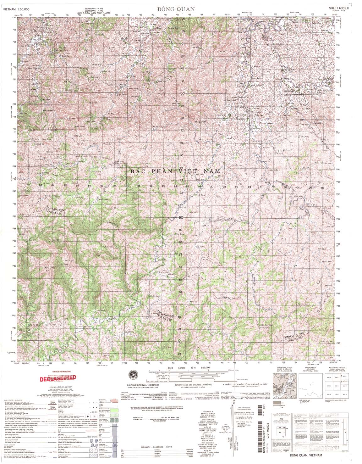
| Dong Quan | 6352_2 | 1964 | 20 | NIMA | 6352_2.jpg | 6352_2.tif | 6352_2.zip |
| On | 6352_3 | 1965 | 20 | NIMA | 6352_3.jpg | 6352_3.tif | 6352_3.zip |
| Dong Dang | 6352_4 | 1964 | 20 | US Army | 6352_4.jpg | 6352_4.tif | 6352_4.zip |
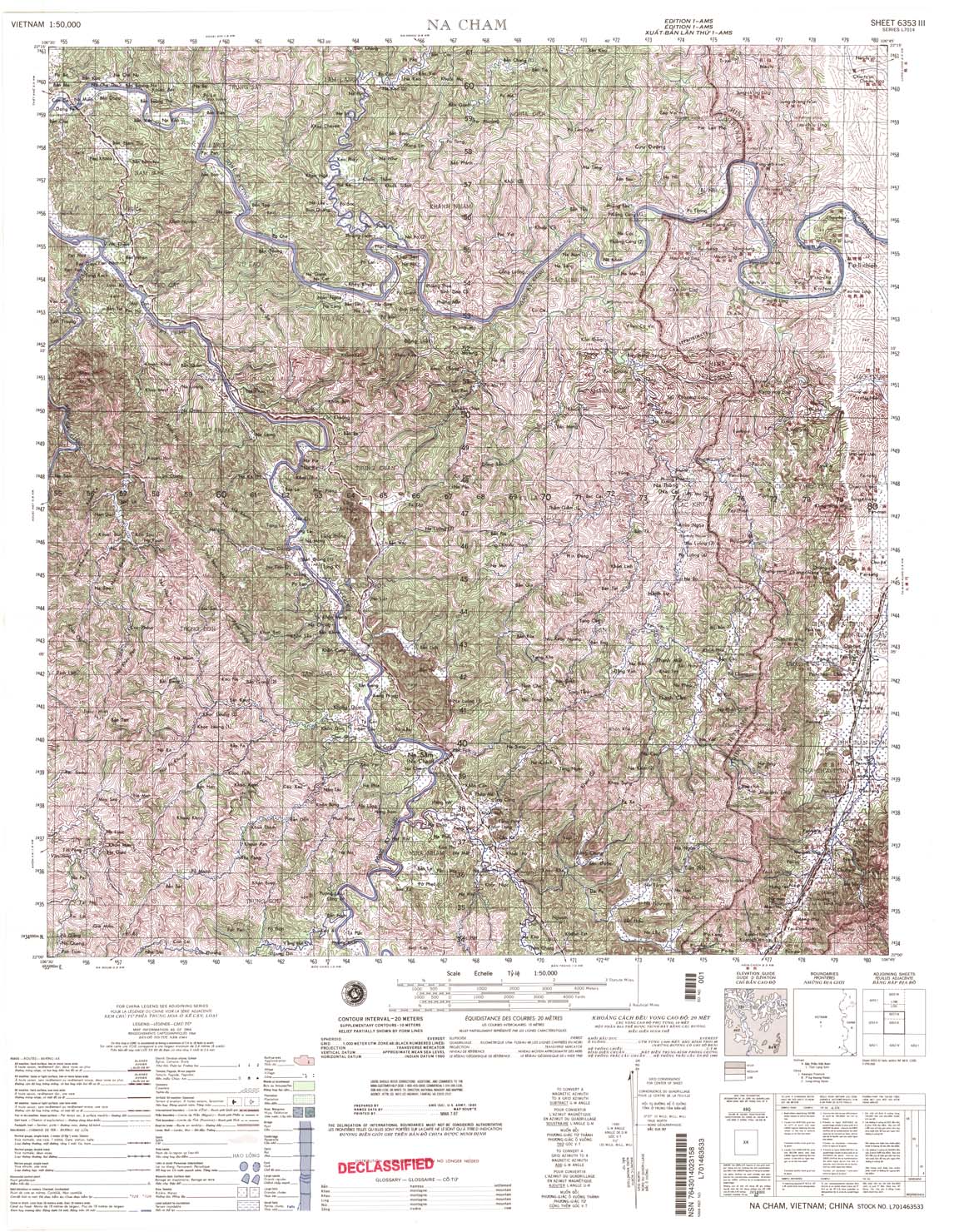
| Na Cham | 6353_3 | 1964 | 20 | NIMA | 6353_3.jpg | 6353_3.tif | 6353_3.zip |
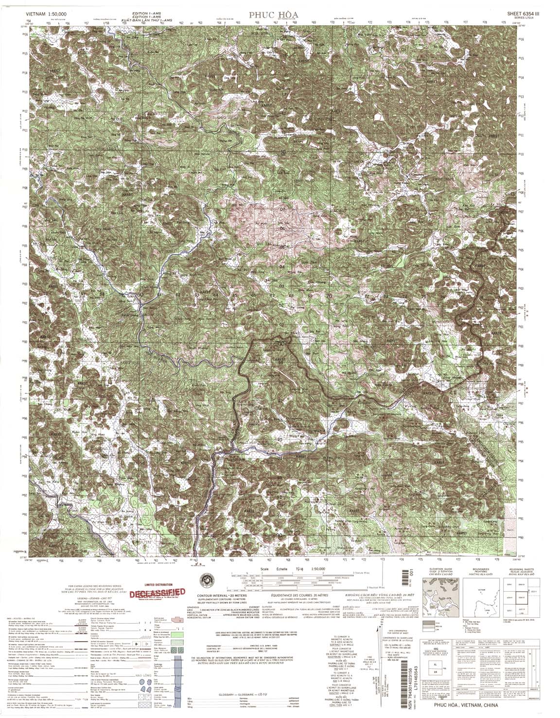
| Phuc Hoa | 6354_3 | 1964 | 20 | NIMA | 6354_3.jpg | 6354_3.tif | 6354_3.zip |
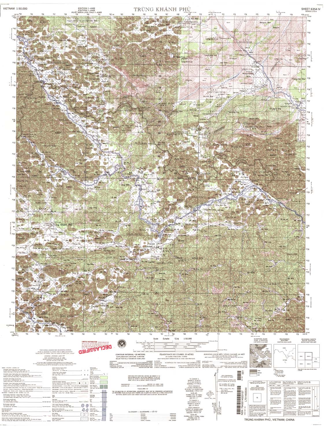
| Trung Khanh Phu | 6354_4 | 1964 | 20 | NIMA | 6354_4.jpg | 6354_4.tif | 6354_4.zip |
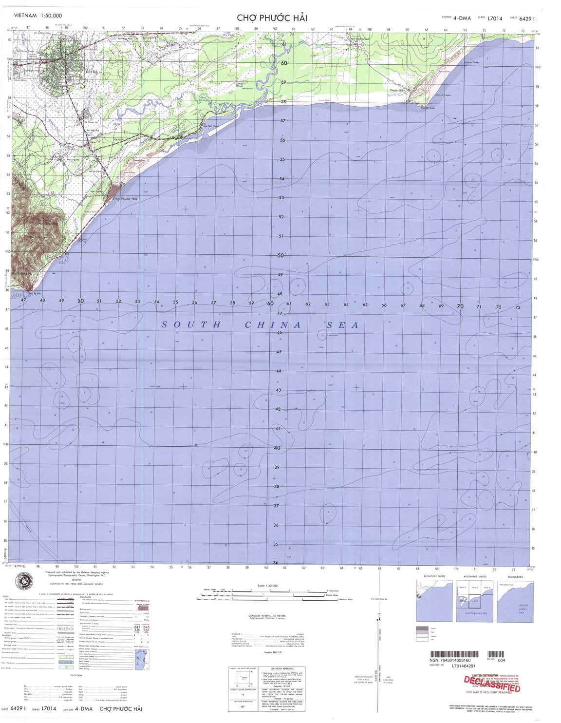
| Cho Phuoc Hai | 6429_1 | 1984 | 10 | NIMA | 6429_1.jpg | 6429_1.tif | 6429_1.zip |
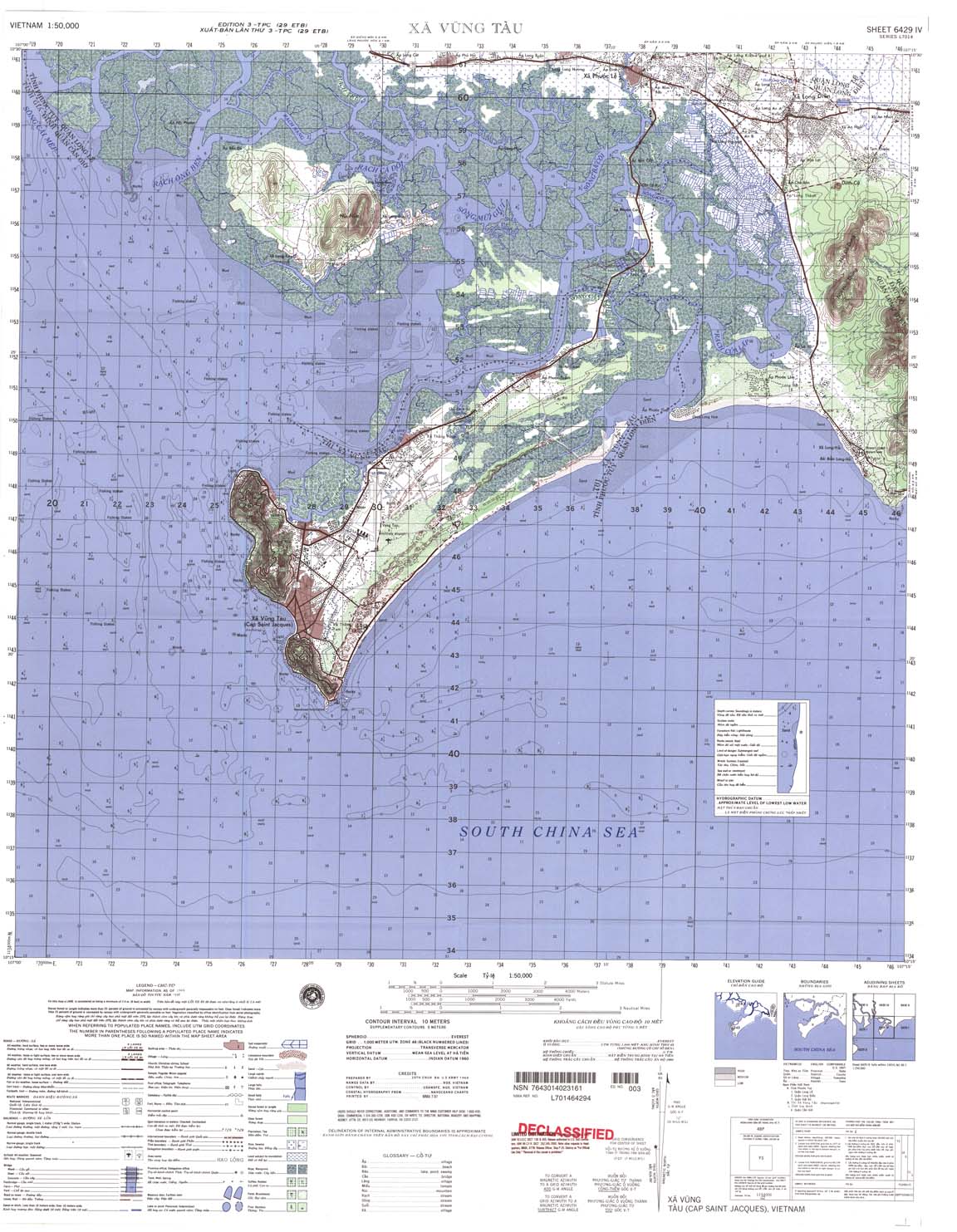
| Xa Vung Tau | 6429_4 | 1968 | 10 | NIMA | 6429_4.jpg | 6429_4.tif | 6429_4.zip |
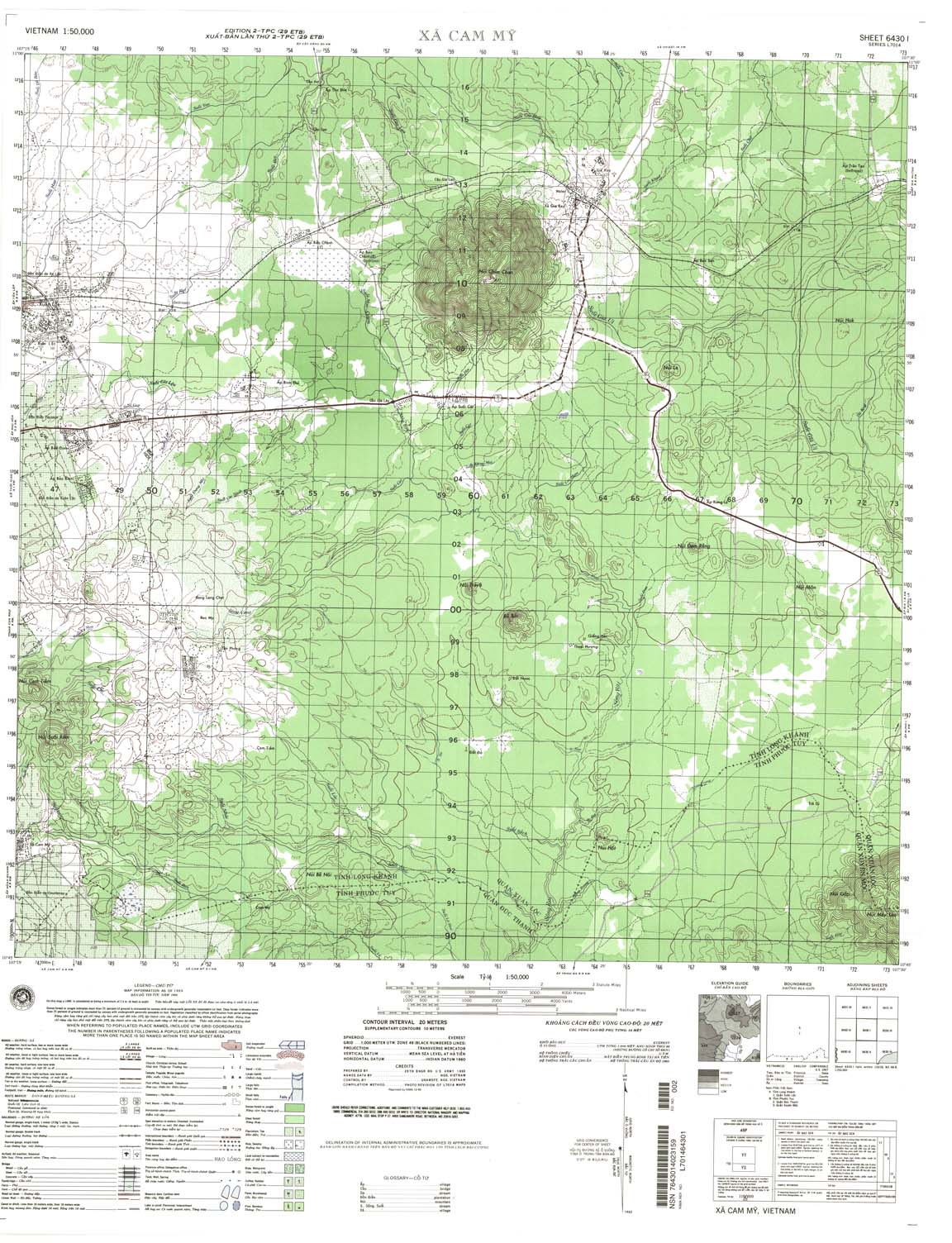
| Xa Cam My | 6430_1 | 1969 | 20 | NIMA | 6430_1.jpg | 6430_1.tif | 6430_1.zip |
| Xuyen Moc | 6430_2 | 1968 | 20 | NIMA | 6430_2.jpg | 6430_2.tif | 6430_2.zip |
| a Binh Ba | 6430_3 | 1969 | 20 | NIMA | 6430_3.jpg | 6430_3.tif | 6430_3.zip |
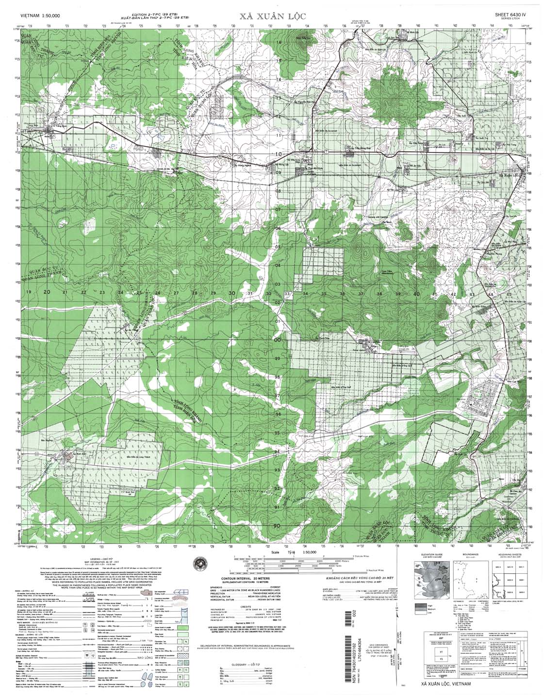
| Xa Xuan Loc | 6430_4 | 1969 | 20 | NIMA | 6430_4.jpg | 6430_4.tif | 6430_4.zip |
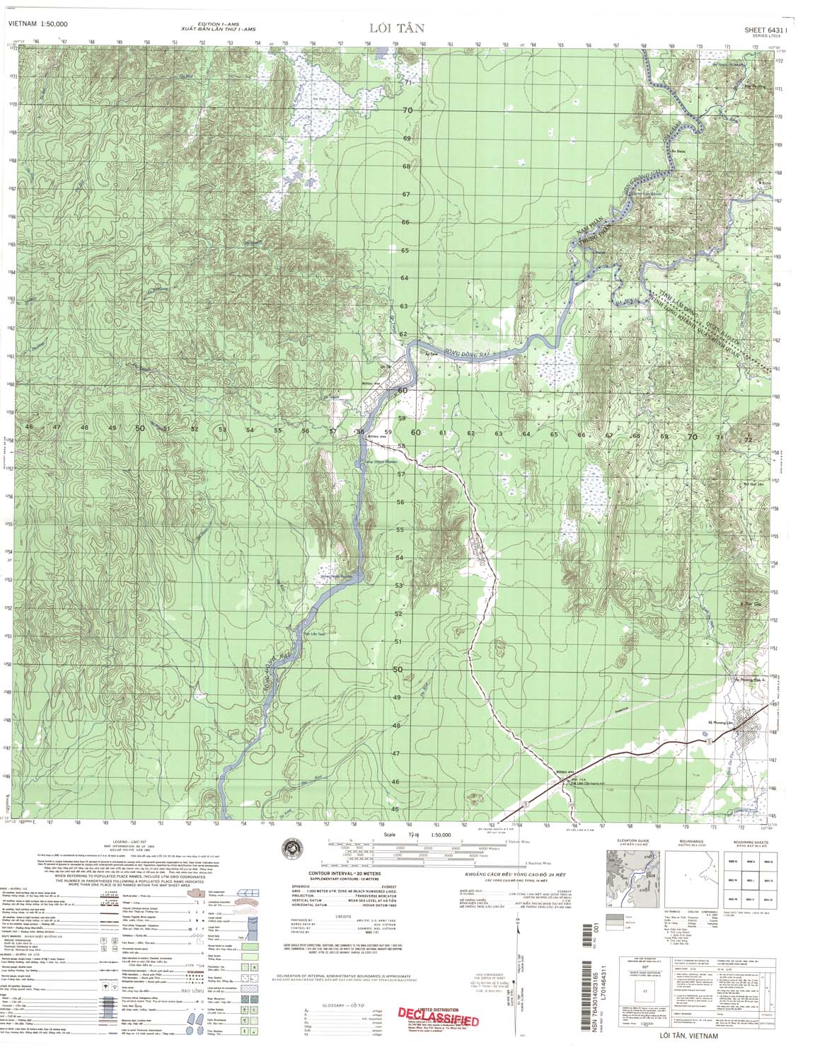
| Loa tan | 6431_1 | 1965 | 20 | NIMA | 6431_1.jpg | 6431_1.tif | 6431_1.zip |
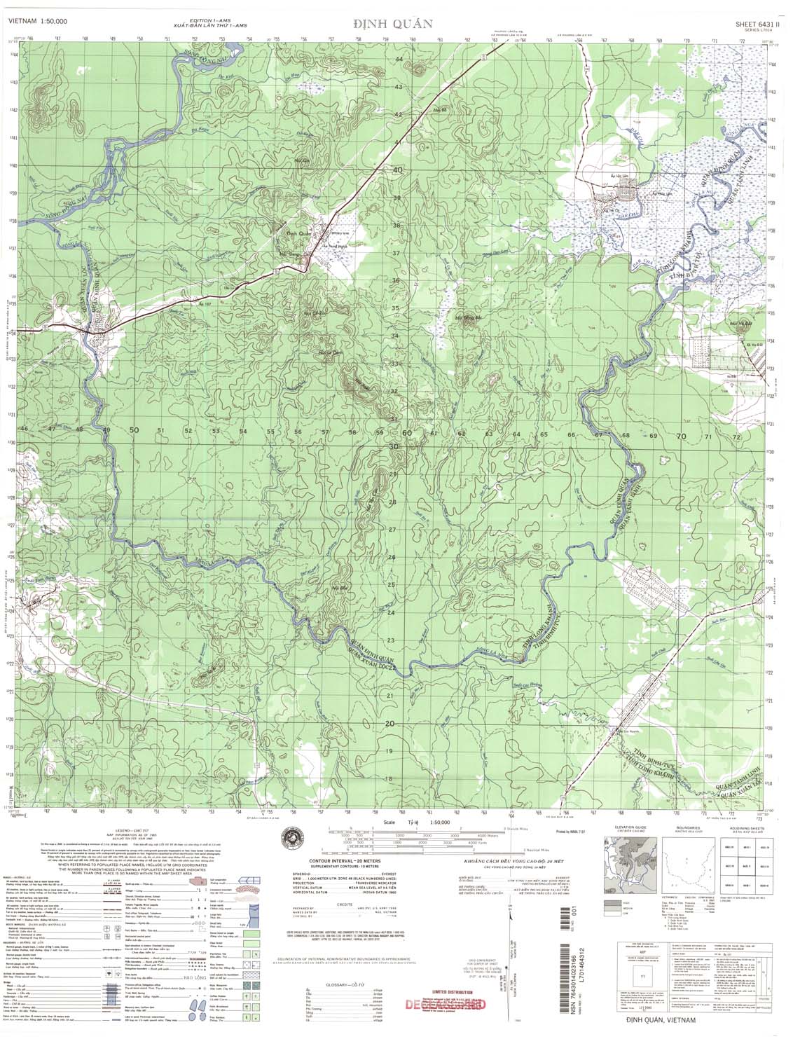
| Dinh Quan | 6431_2 | 1965 | 20 | US Army | 6431_2.jpg | 6431_2.tif | 6431_2.zip |
| Xa Gia Kiem | 6431_3 | 1968 | 20 | NIMA | 6431_3.jpg | 6431_3.tif | 6431_3.zip |
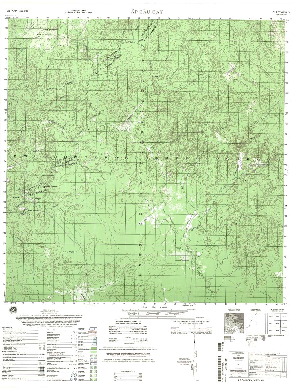
| Ap Cau Cay | 6431_4 | 1965 | 20 | NIMA | 6431_4.jpg | 6431_4.tif | 6431_4.zip |
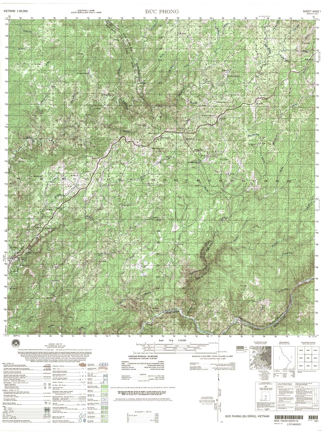
| Duc Phing | 6432_1 | 1965 | 20 | NIMA | 6432_1.jpg | 6432_1.tif | 6432_1.zip |
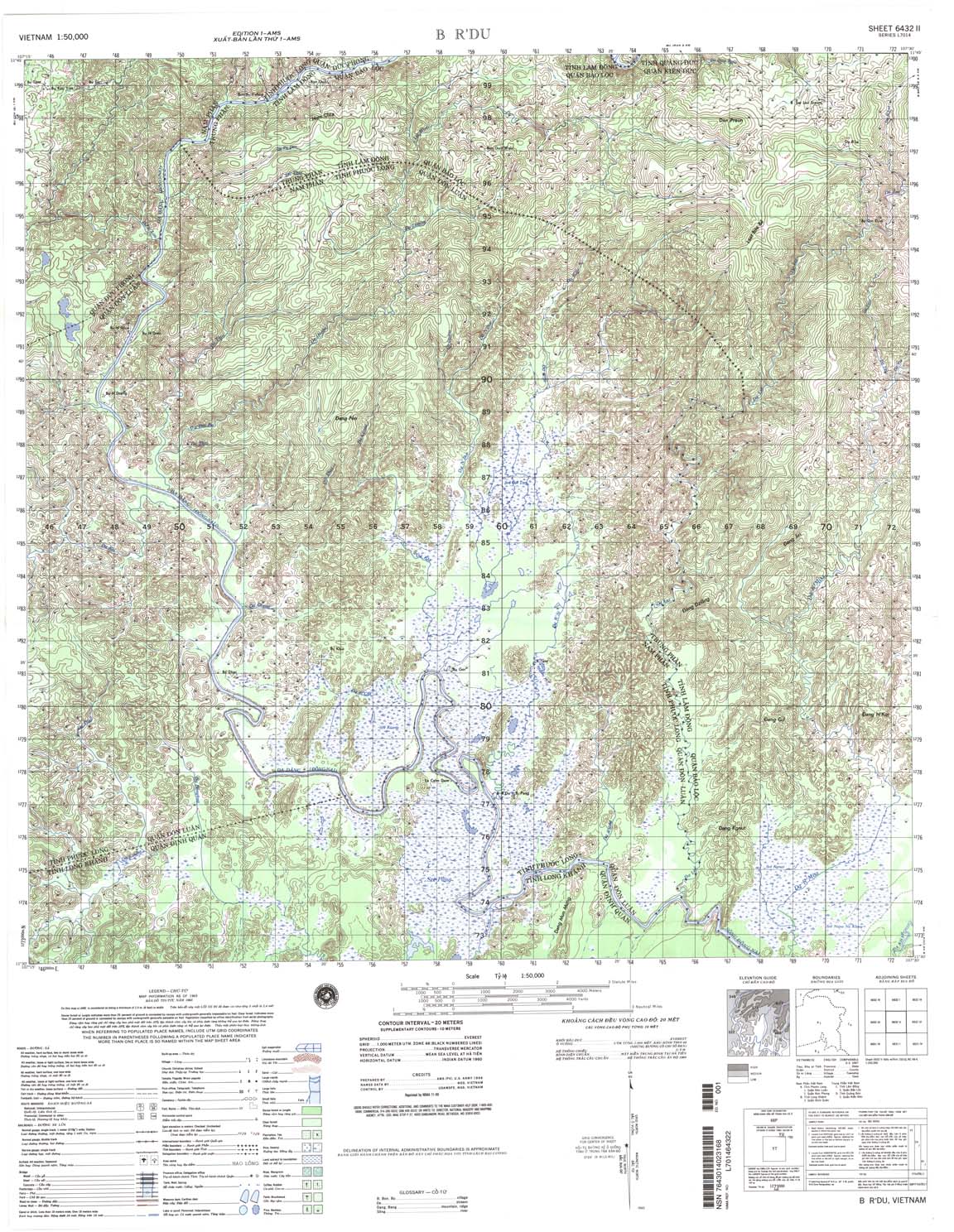
| B R'du | 6432_2 | 1965 | 20 | NIMA | 6432_2.jpg | 6432_2.tif | 6432_2.zip |
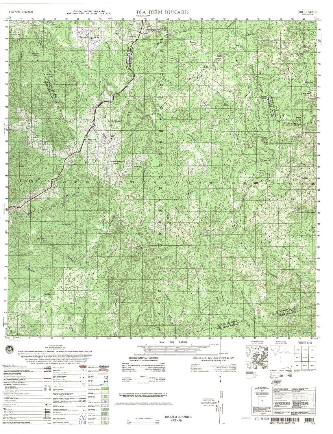
| Dia Diem Bunard | 6432_3 | 1968 | 20 | NIMA | 6432_3.jpg | 6432_3.tif | 6432_3.zip |
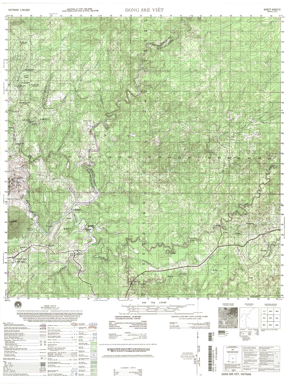
| Dong Sre Viet | 6432_4 | 1969 | 20 | NIMA | 6432_4.jpg | 6432_4.tif | 6432_4.zip |
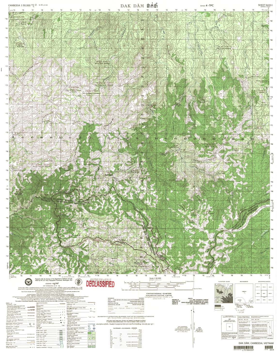
| Dak dam | 6433_1 | 1970 | 20 | US Army | 6433_1.jpg | 6433_1.tif | 6433_1.zip |
| Ap Doan Van | 6433_2 | 1965 | 20 | US Army | 6433_2.jpg | 6433_2.tif | 6433_2.zip |
| Bu Gia Map | 6433_3 | 1970 | 20 | US Army | 6433_3.jpg | 6433_3.tif | 6433_3.zip |
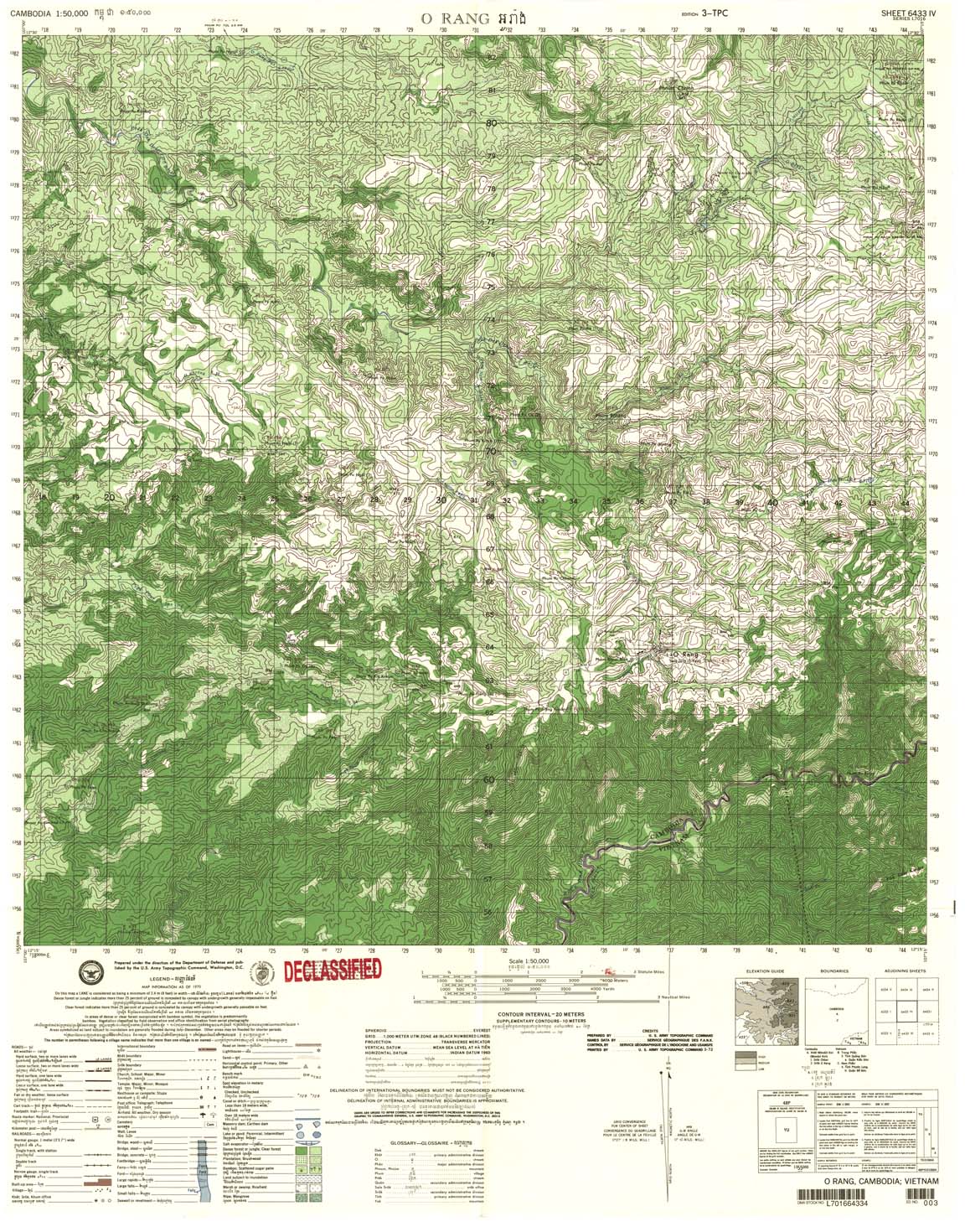
| O rang | 6433_4 | 1972 | 20 | US Army | 6433_4.jpg | 6433_4.tif | 6433_4.zip |
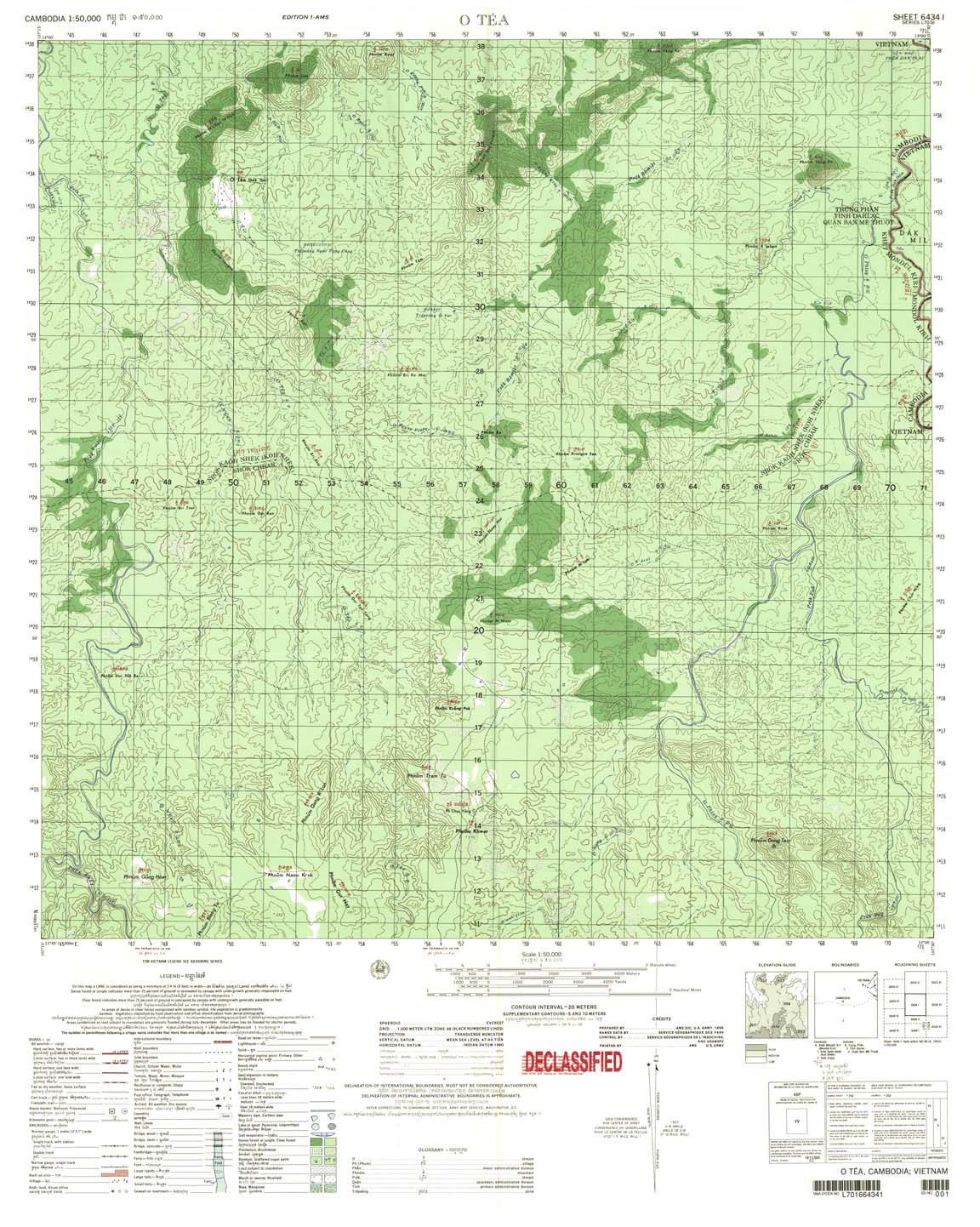
| O Tea | 6434_1 | 1966 | 20 | US Army | 6434_1.jpg | 6434_1.tif | 6434_1.zip |
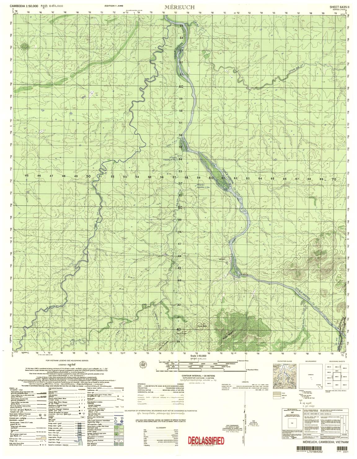
| Mereuch | 6435_2 | 1966 | 20 | US Army | 6435_2.jpg | 6435_2.tif | 6435_2.zip |
| Ph Thong | 6436_1 | 1966 | 20 | US Army | 6436_1.jpg | 6436_1.tif | 6436_1.zip |
| Phum Kham Dorang | 6437_1 | 1997 | 10 meter | NIMA | 6437_1.jpg | 6437_1.tif | 6437_1.zip |
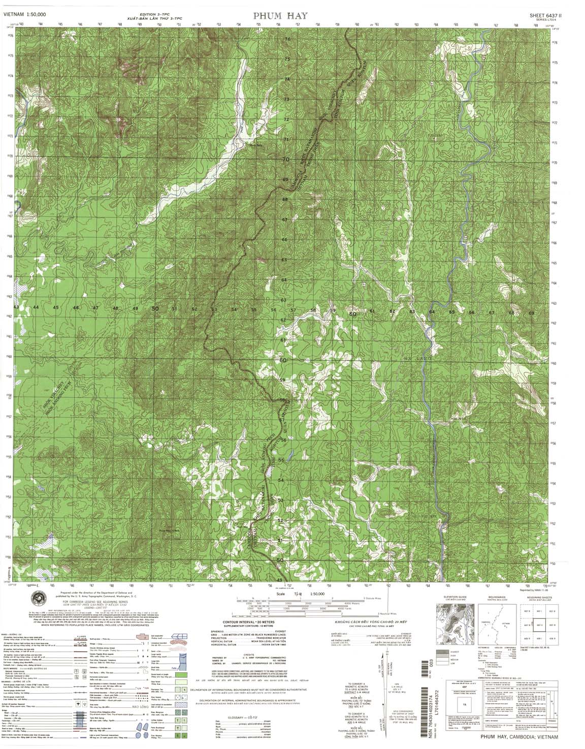
| Phum Hay | 6437_2 | 1970 | 20 | NIMA | 6437_2.jpg | 6437_2.tif | 6437_2.zip |
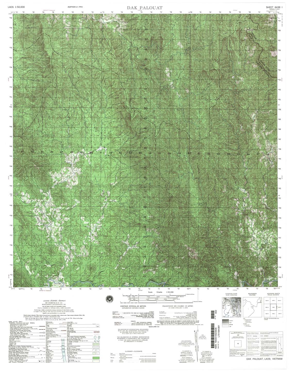
| Dak Palouat | 6438_1 | 1968 | 20 | US Army | 6438_1.jpg | 6438_1.tif | 6438_1.zip |
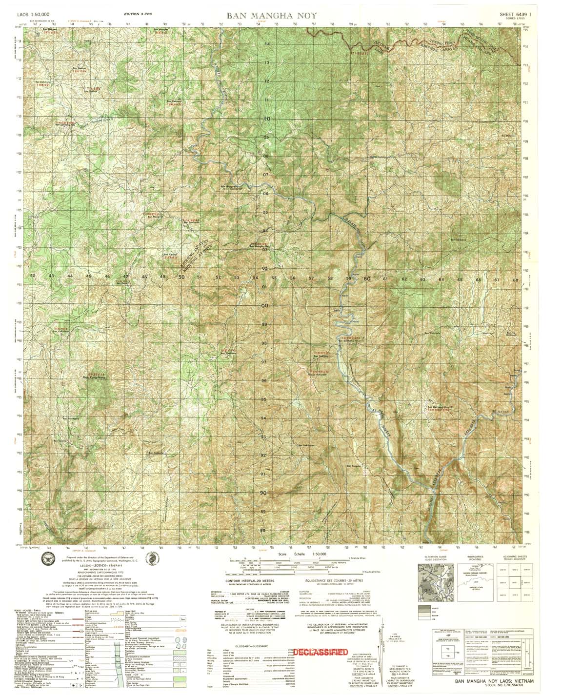
| Ban Mangha Noy | 6439_1 | 1970 | 20 | US Army | 6439_1.jpg | 6439_1.tif | 6439_1.zip |
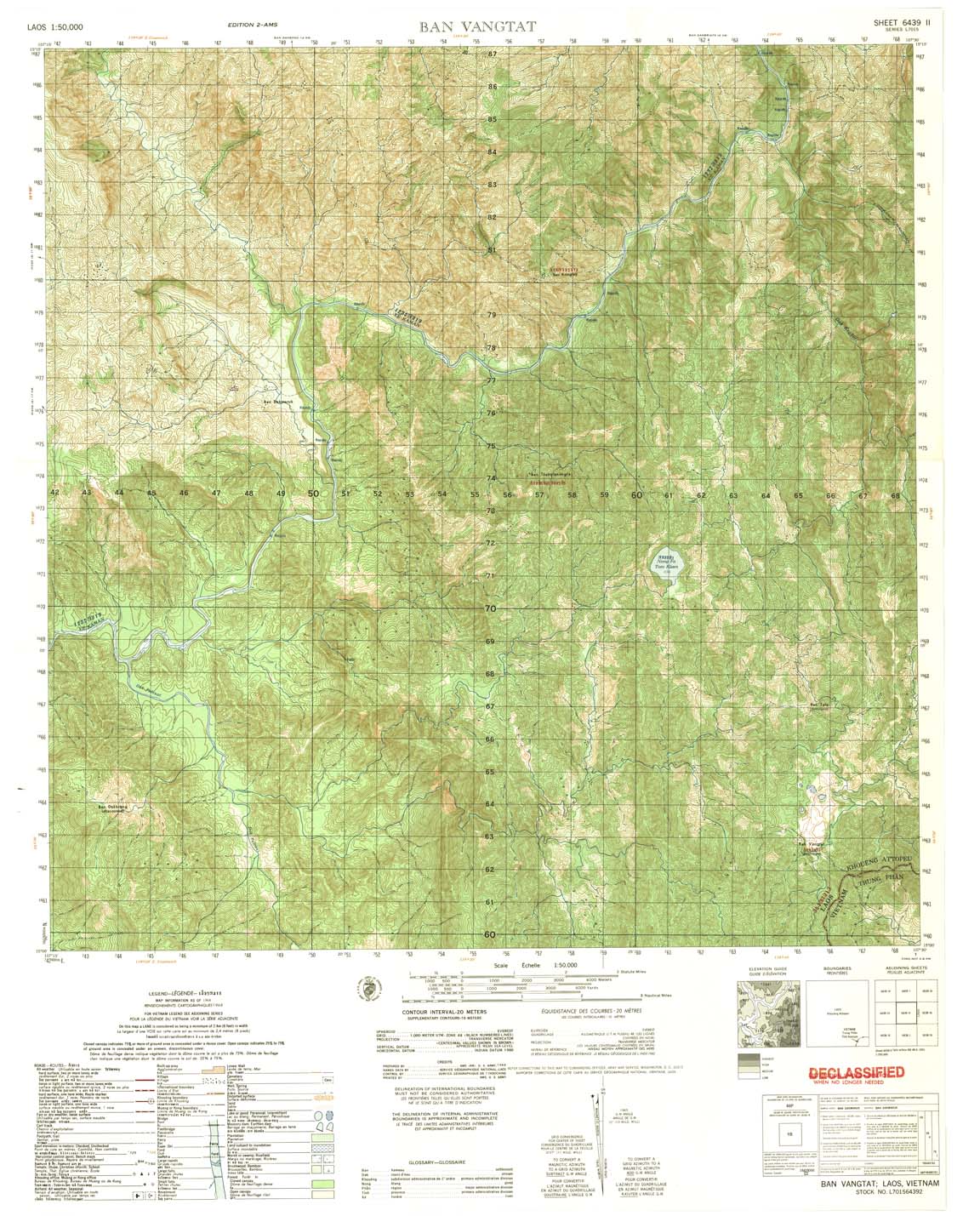
| an Vangtat | 6439_2 | 1968 | 20 | US Army | 6439_2.jpg | 6439_2.tif | 6439_2.zip |
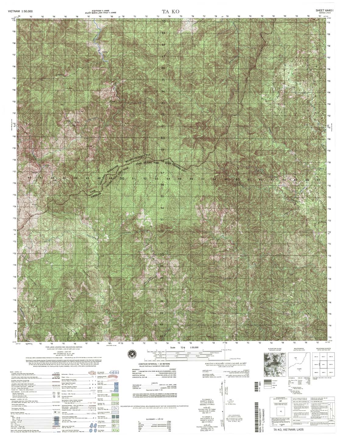
| Ta Ko | 6440_1 | 1965 | 20 | NIMA | 6440_1.jpg | 6440_1.tif | 6440_1.zip |
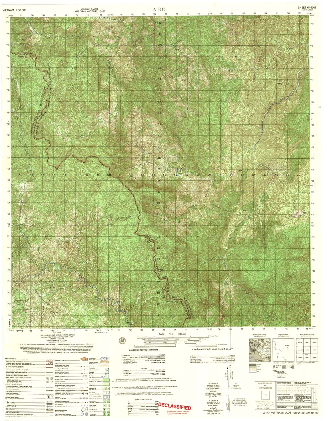
| A Ro | 6440_2 | 1965 | 20 | US Army | 6440_2.jpg | 6440_2.tif | 6440_2.zip |
| an Tangyoun | 6440_3 | 1965 | 20 | US Army | 6440_3.jpg | 6440_3.tif | 6440_3.zip |
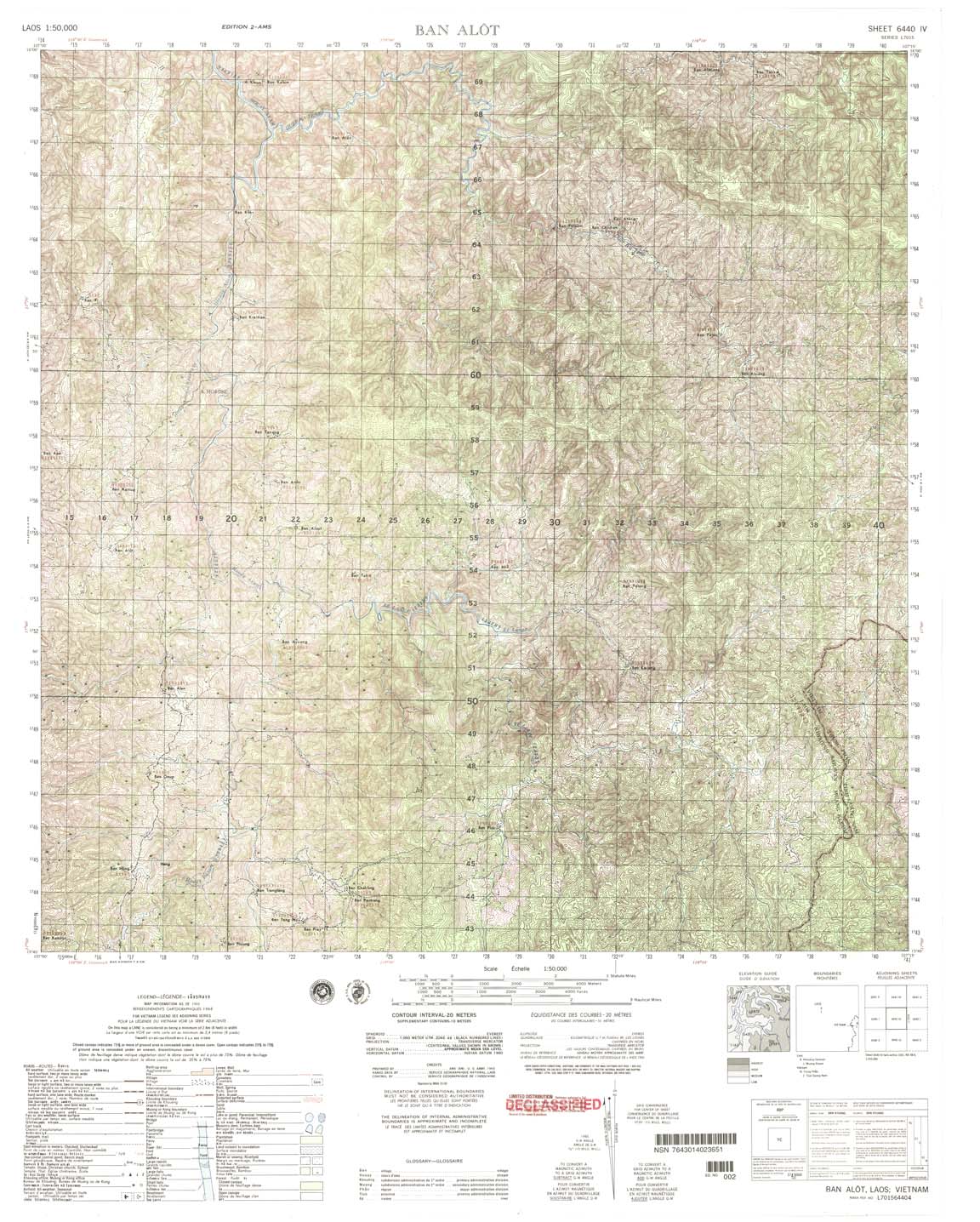
| Ban A lot | 6440_4 | 1968 | 20 | NIMA | 6440_4.jpg | 6440_4.tif | 6440_4.zip |
| Ap Lai Bang | 6441_1 | 1965 | 20 | US Army | 6441_1.jpg | 6441_1.tif | 6441_1.zip |
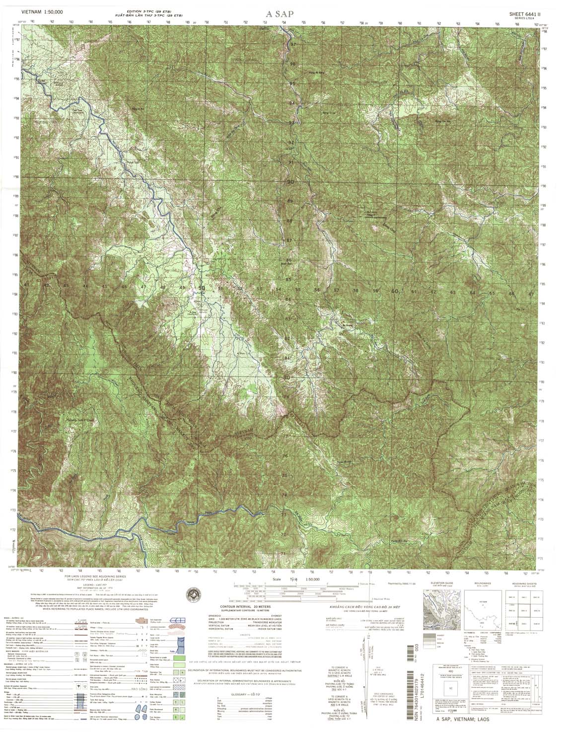
| A Sap | 6441_2 | 1970 | 20 | US Army | 6441_2.jpg | 6441_2.tif | 6441_2.zip |
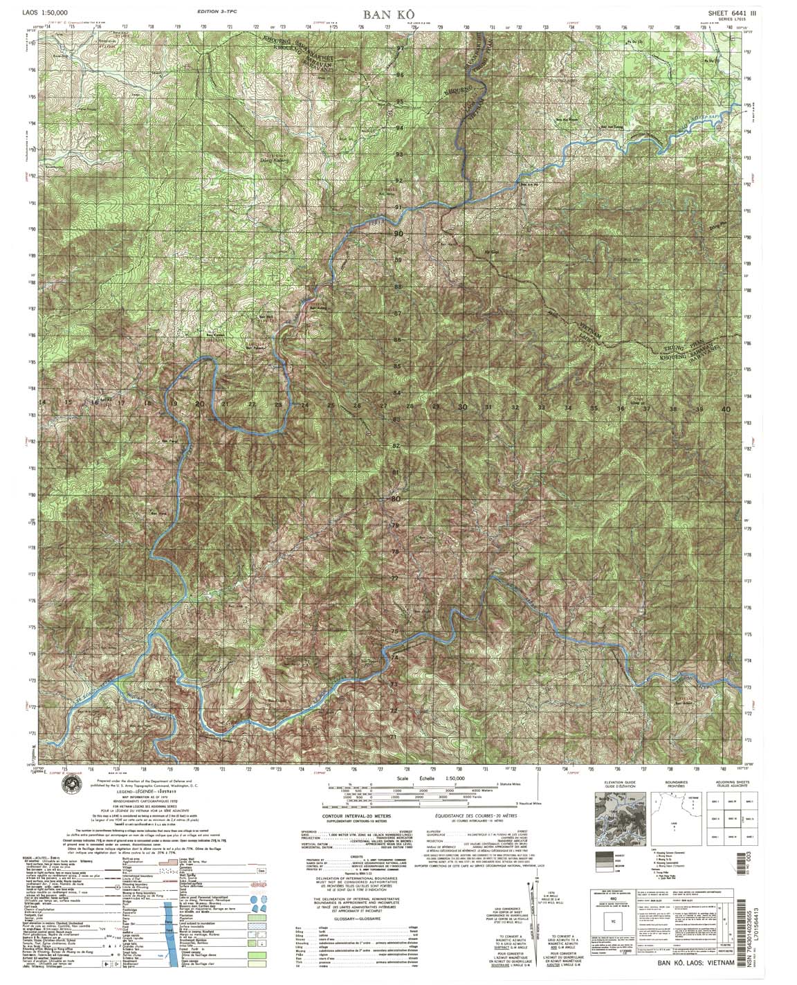
| Ban Ko | 6441_3 | 1970 | 20 | NIMA | 6441_3.jpg | 6441_3.tif | 6441_3.zip |
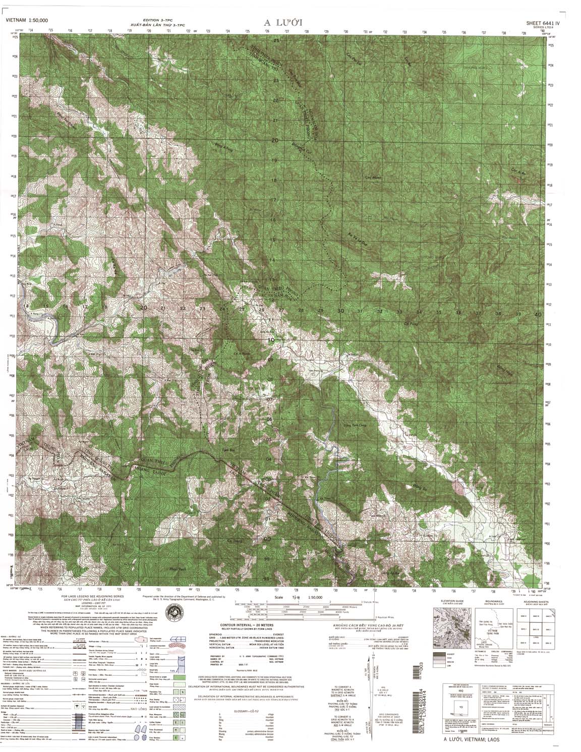
| A Luoi | 6441_4 | 1970 | 20 | NIMA | 6441_4.jpg | 6441_4.tif | 6441_4.zip |
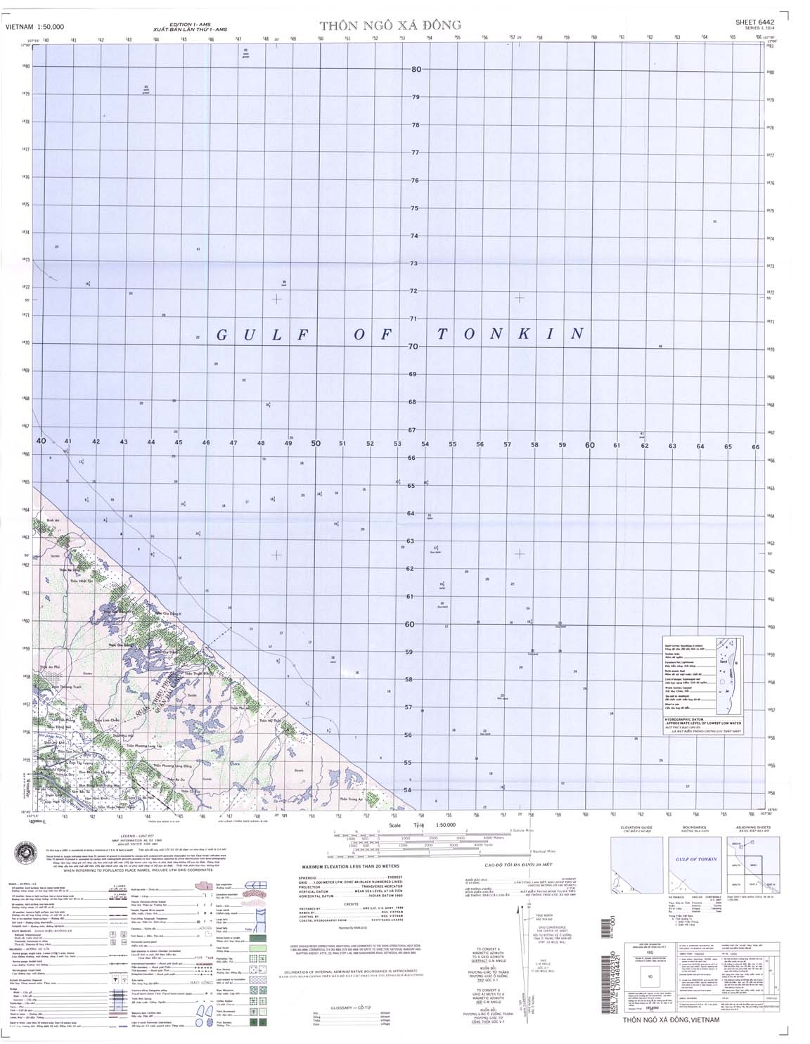
| Thon Ngo Xa Dong | 6442_1 | 1965 | 20 | NIMA | 6442_1.jpg | 6442_1.tif | 6442_1.zip |
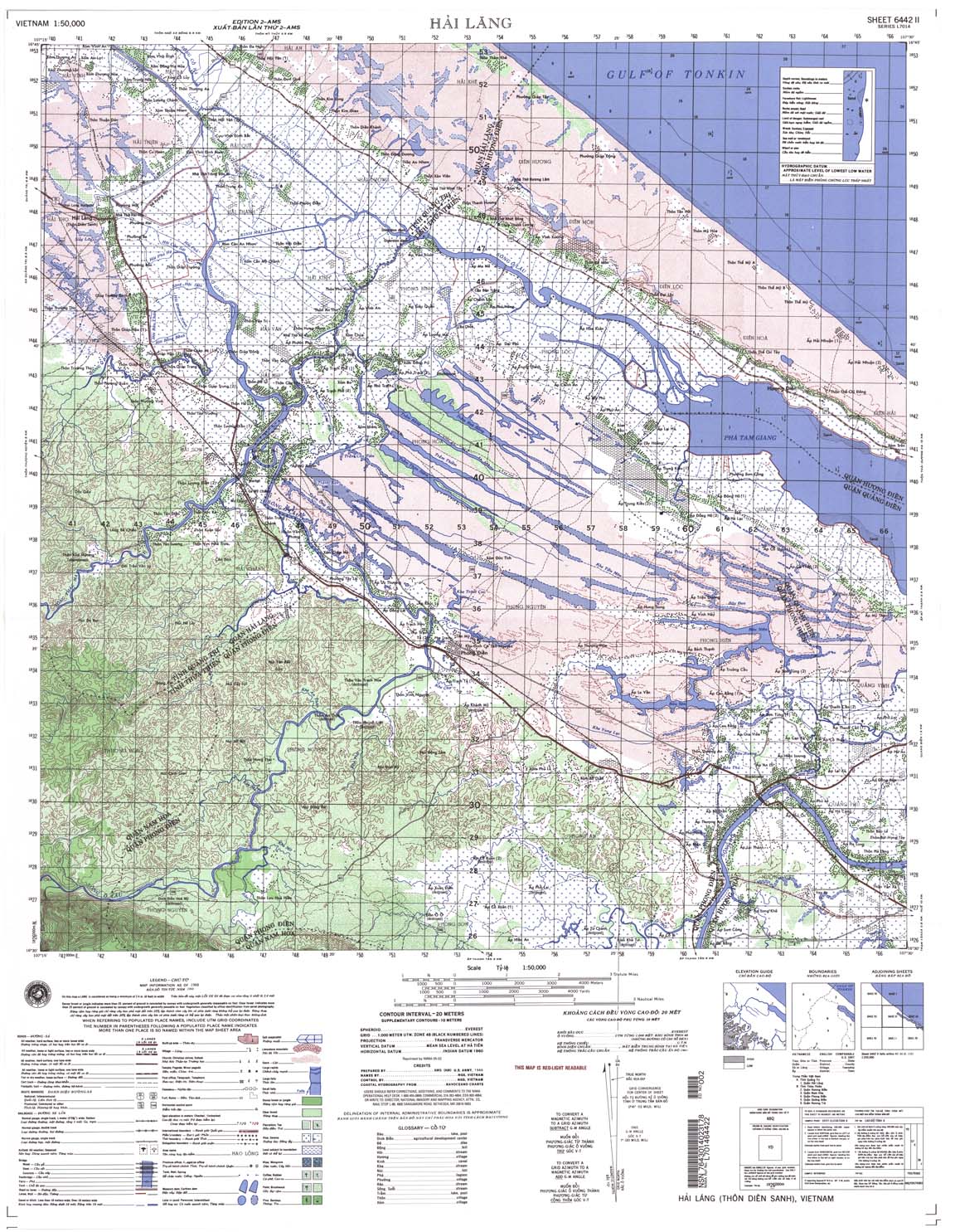
| Hai Lang | 6442_2 | 1968 | 20 | US Army | 6442_2.jpg | 6442_2.tif | 6442_2.zip |
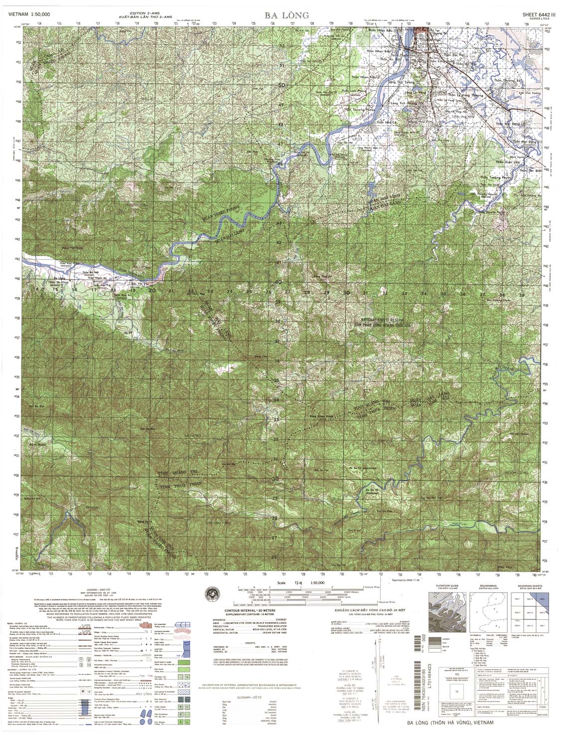
| Ba Long | 6442_3 | 1968 | 20 | US Army | 6442_3.jpg | 6442_3.tif | 6442_3.zip |
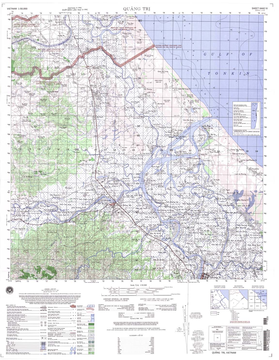
| Quang Tri | 6442_4 | 1969 | 20 | NIMA | 6442_4.jpg | 6442_4.tif | 6442_4.zip |
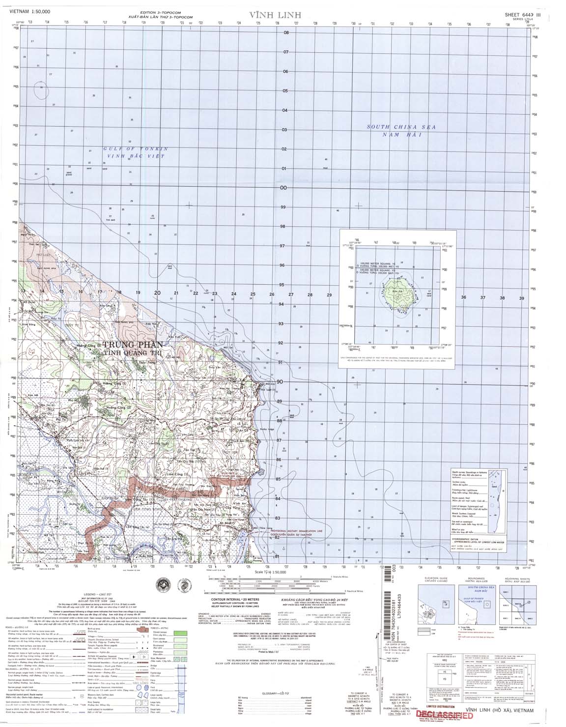
| Vinh Linh | 6443_3 | 1968 | 20 | NIMA | 6443_3.jpg | 6443_3.tif | 6443_3.zip |
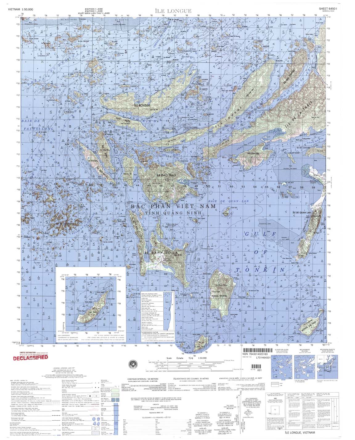
| Ile Longue | 6450_1 | 1965 | 20 | US Army | 6450_1.jpg | 6450_1.tif | 6450_1.zip |
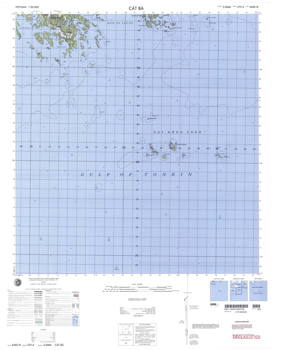
| Cat Ba | 6450_3 | 1983 | 20 | NIMA | 6450_3.jpg | 6450_3.tif | 6450_3.zip |
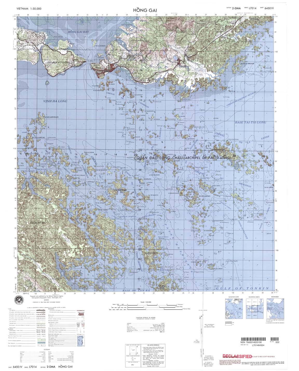
| Hong Gai | 6450_4 | 1983 | 20 | NIMA | 6450_4.jpg | 6450_4.tif | 6450_4.zip |
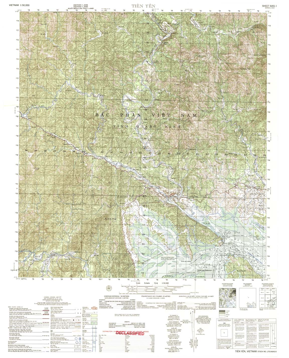
| Tien Yen | 6451_1 | 1965 | 20 | US Army | 6451_1.jpg | 6451_1.tif | 6451_1.zip |
| Cam Pha | 6451_2 | 1966 | 20 | US Army | 6451_2.jpg | 6451_2.tif | 6451_2.zip |
| Lang Troi | 6451_3 | 1965 | 20 | US Army | 6451_3.jpg | 6451_3.tif | 6451_3.zip |
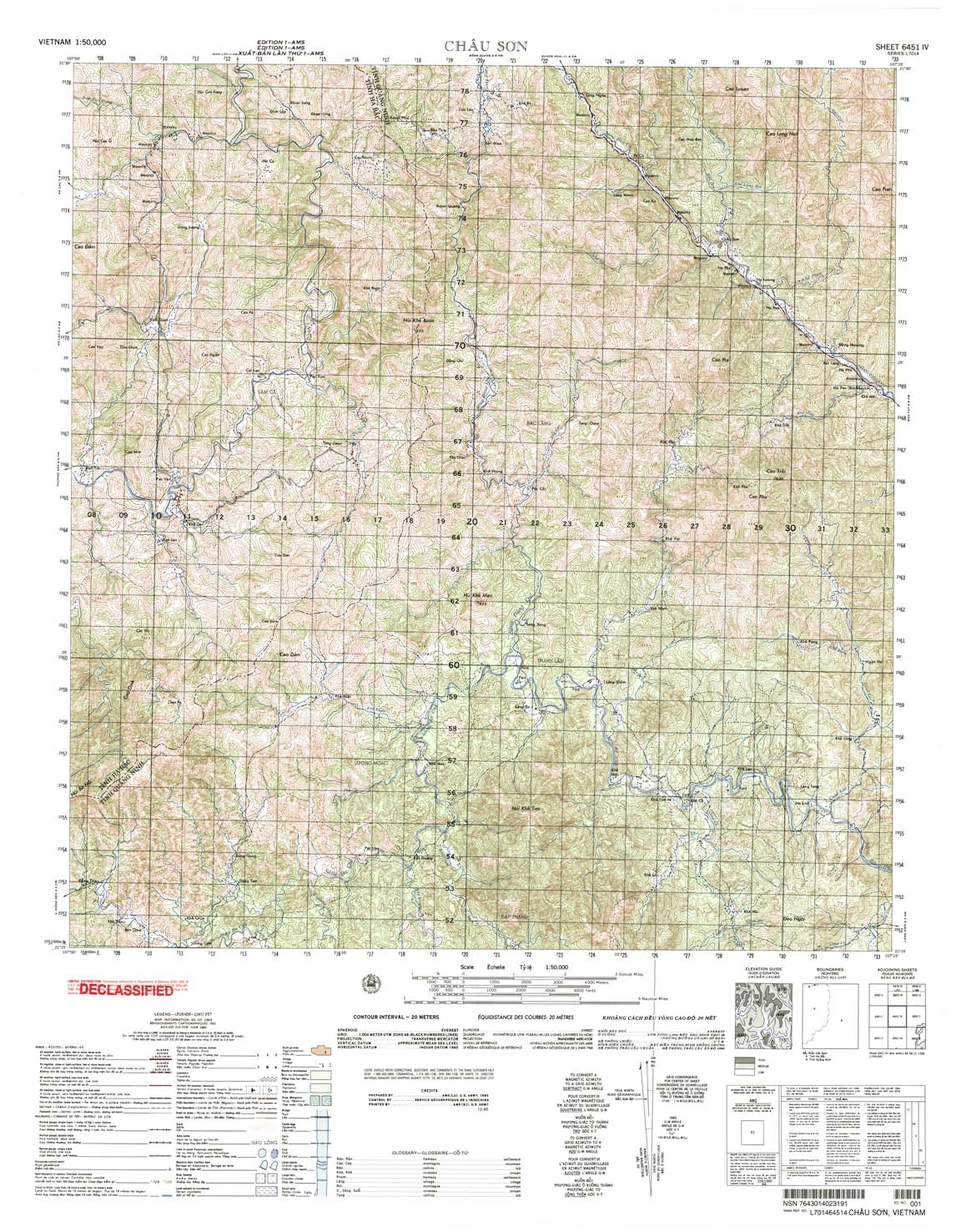
| Chau Son | 6451_4 | 1965 | 20 | US Army | 6451_4.jpg | 6451_4.tif | 6451_4.zip |
| Binh Lieu | 6452_2 | 1965 | 20 | NIMA | 6452_2.jpg | 6452_2.tif | 6452_2.zip |
| Dinh lap | 6452_3 | 1964 | 20 | US Army | 6452_3.jpg | 6452_3.tif | 6452_3.zip |
| Ap Dinh Ba | 6530_1 | 1983 | 20 | NIMA | 6530_1.jpg | 6530_1.tif | 6530_1.zip |
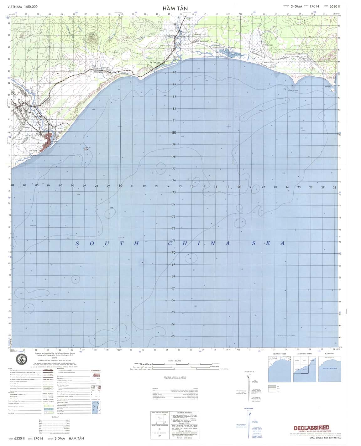
| Ham Tan | 6530_2 | 1983 | 20 | DMA | 6530_2.jpg | 6530_2.tif | 6530_2.zip |
| Tan Tao | 6530_3 | 1983 | 20 | DMA | 6530_3.jpg | 6530_3.tif | 6530_3.zip |
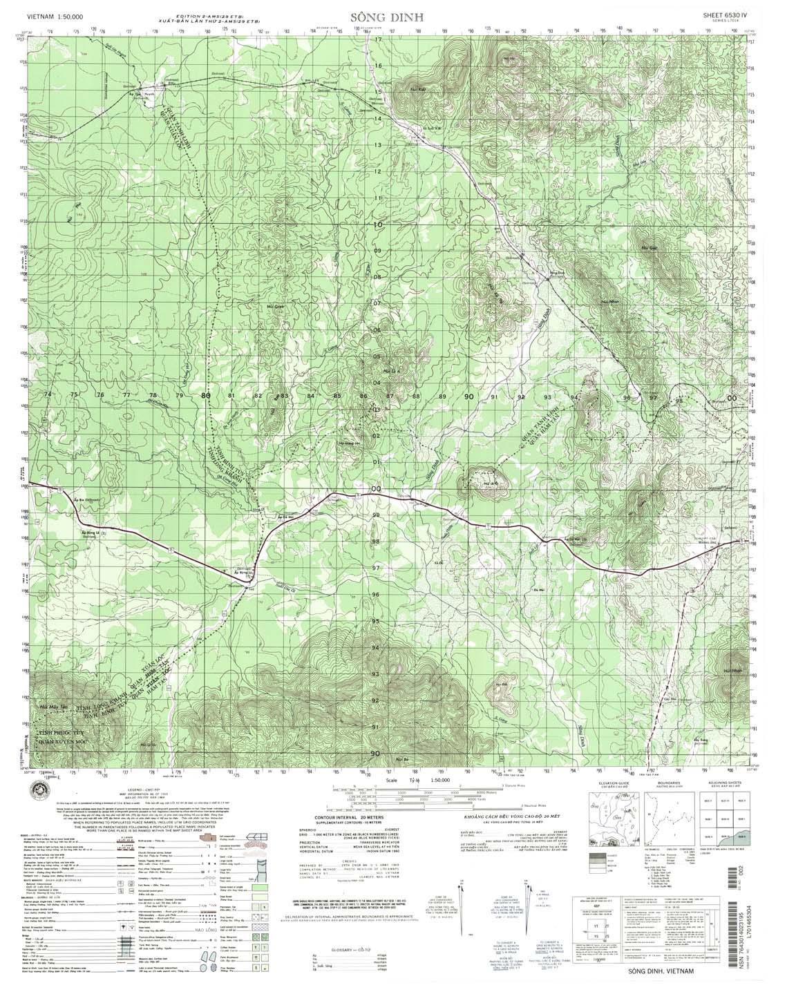
| Song Dinh | 6530_4 | 1968 | 20 | NIMA | 6530_4.jpg | 6530_4.tif | 6530_4.zip |
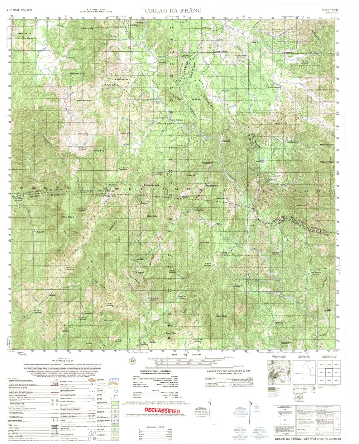
| Cirlao Da Srang | 6531_1 | 1965 | 20 | US Army | 6531_1.jpg | 6531_1.tif | 6531_1.zip |
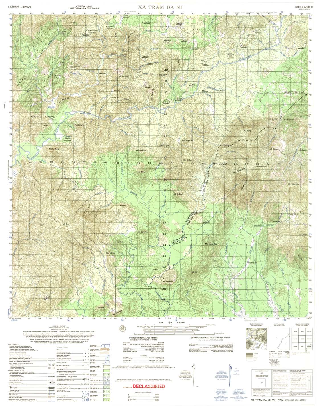
| Xa Tram Da Mi | 6531_2 | 1965 | 20 | US Army | 6531_2.jpg | 6531_2.tif | 6531_2.zip |
| Tanh Linh | 6531_3 | 1968 | 20 | NIMA | 6531_3.jpg | 6531_3.tif | 6531_3.zip |
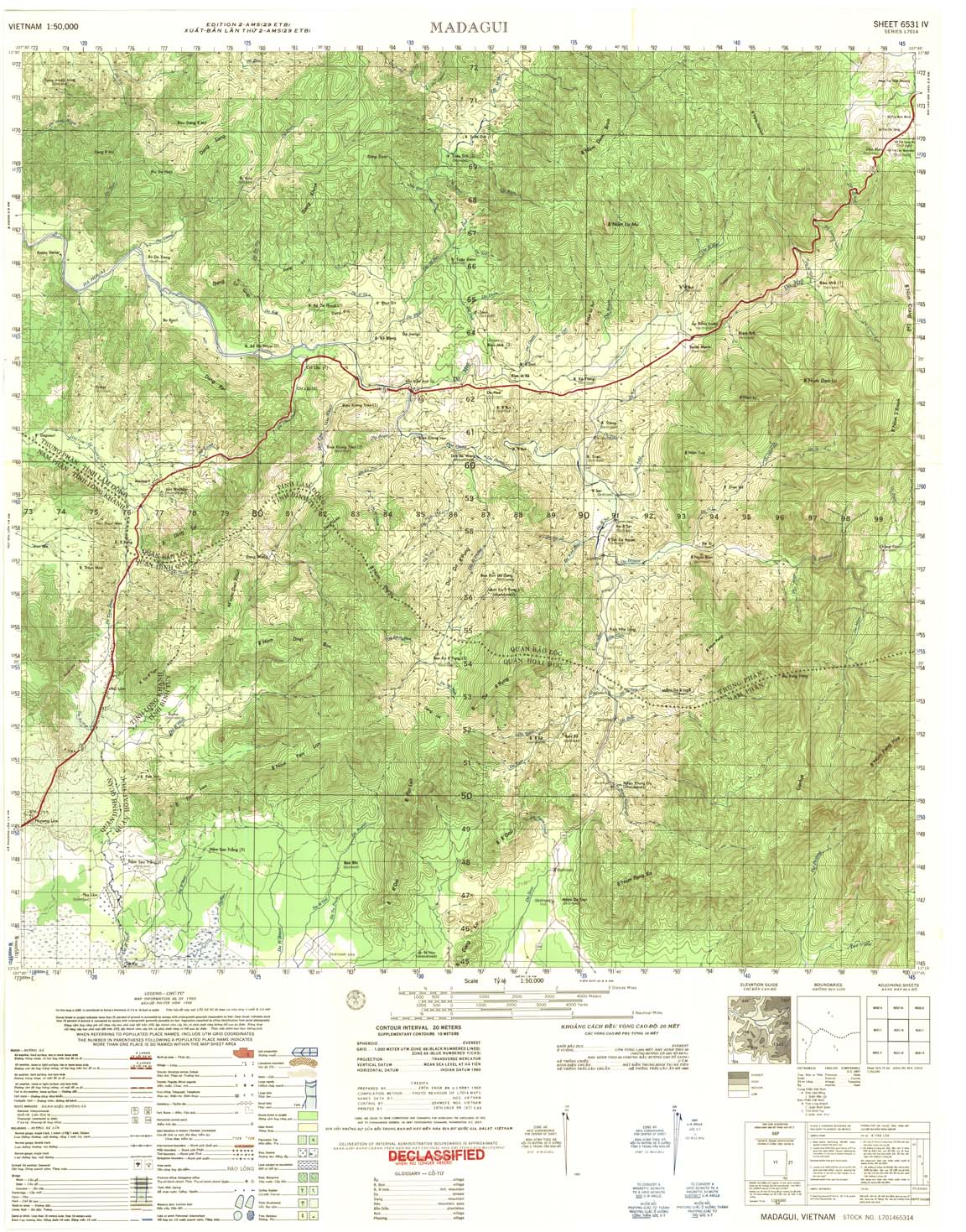
| Madagui | 6531_4 | 1968 | 20 | US Army | 6531_4.jpg | 6531_4.tif | 6531_4.zip |
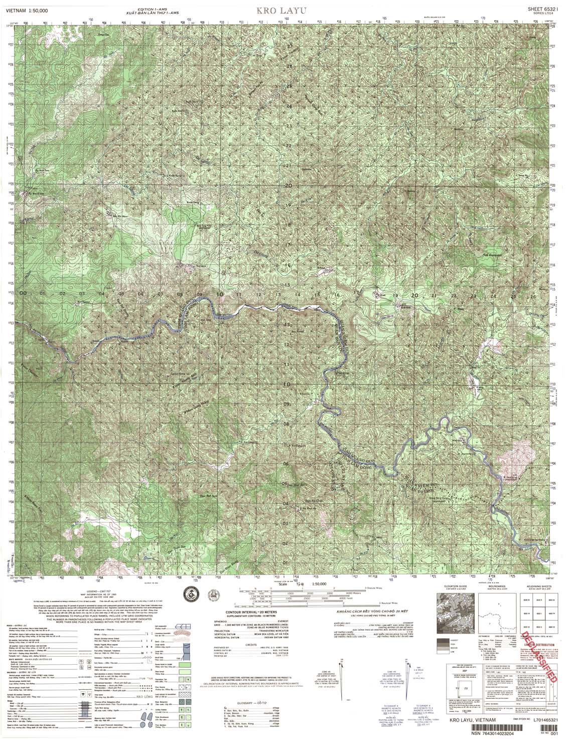
| Kro Layu | 6532_1 | 1965 | 20 | DMA | 6532_1.jpg | 6532_1.tif | 6532_1.zip |
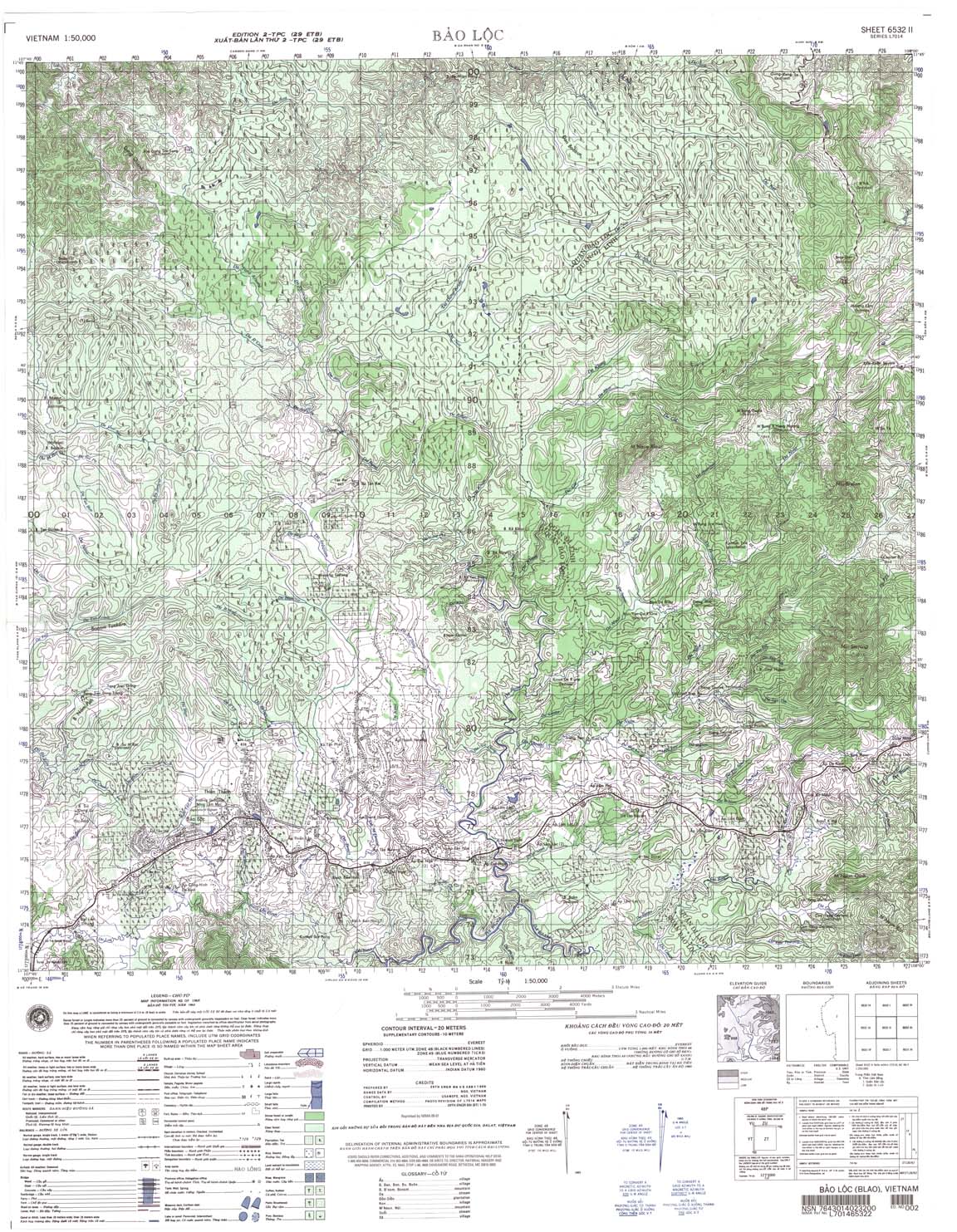
| Bao Loc | 6532_2 | 1968 | 20 | NIMA | 6532_2.jpg | 6532_2.tif | 6532_2.zip |
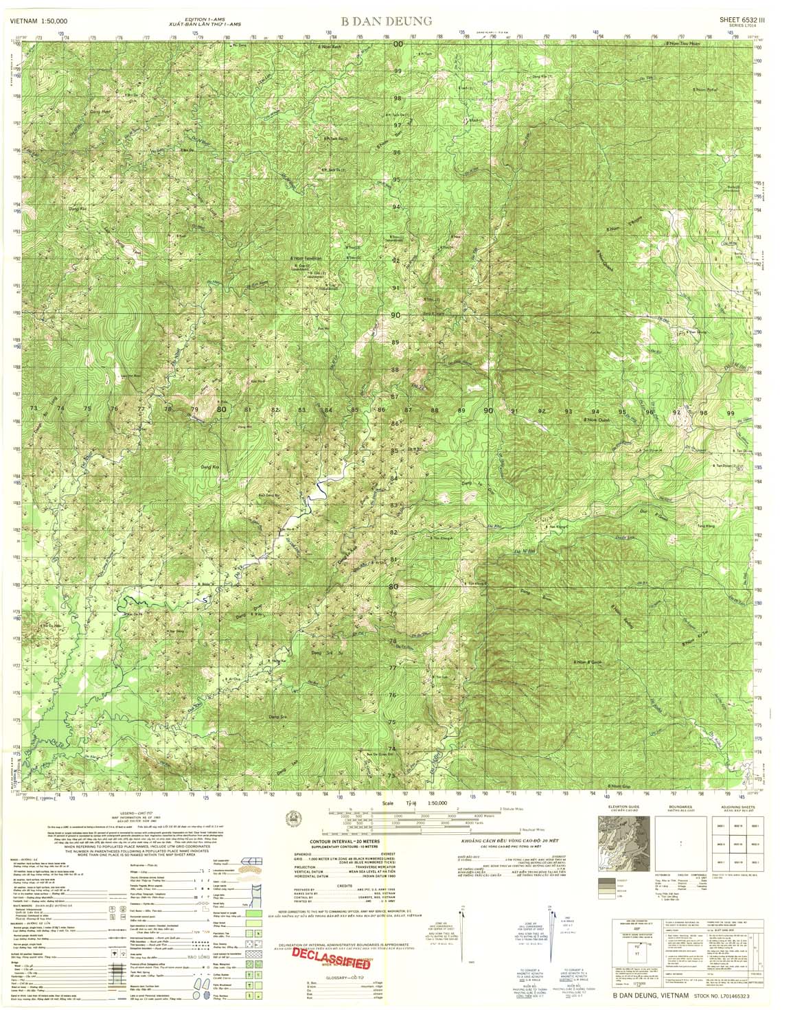
| B Dan Deung | 6532_3 | 1965 | 20 | US Army | 6532_3.jpg | 6532_3.tif | 6532_3.zip |
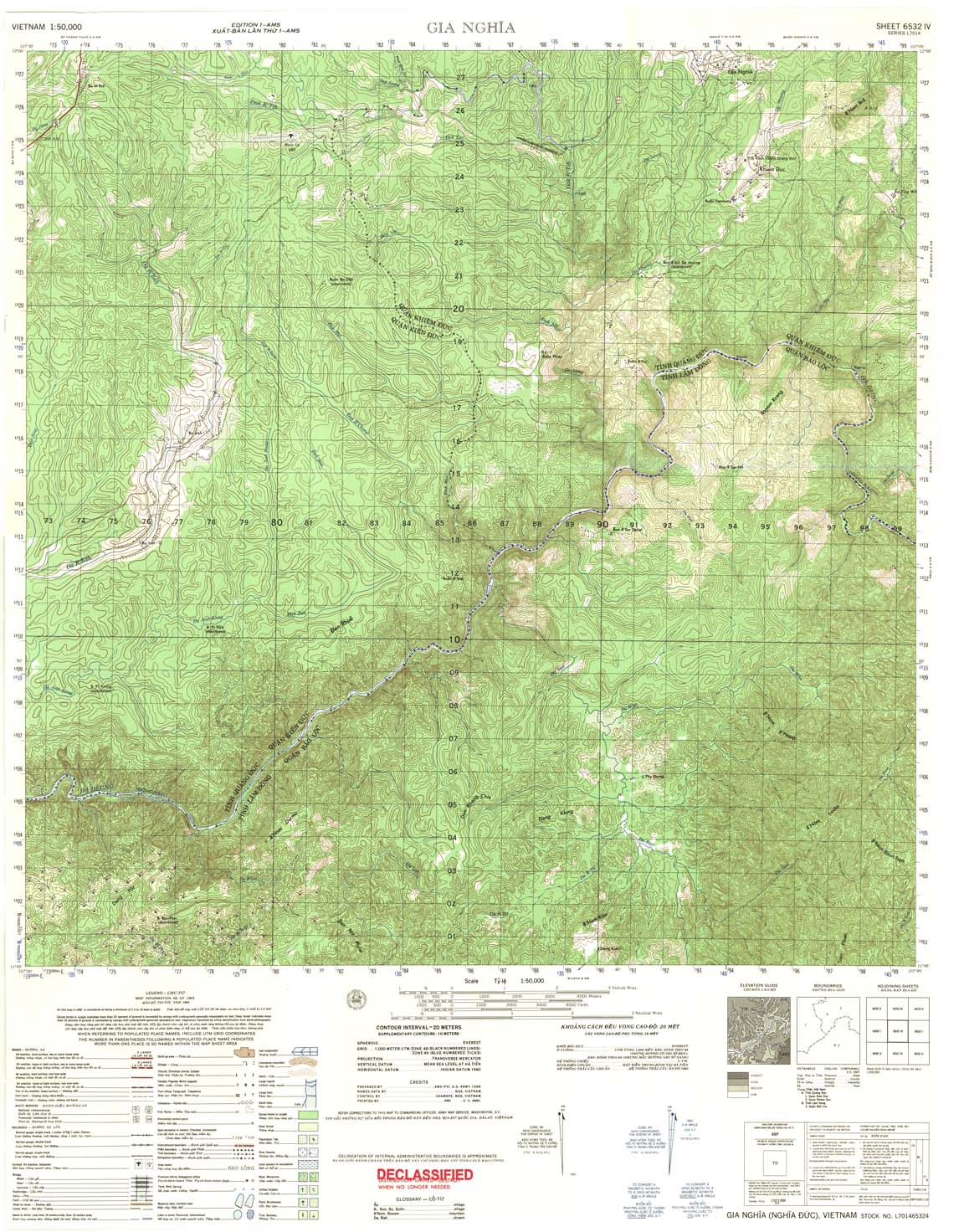
| Gia Nghia | 6532_4 | 1965 | 20 | US Army | 6532_4.jpg | 6532_4.tif | 6532_4.zip |
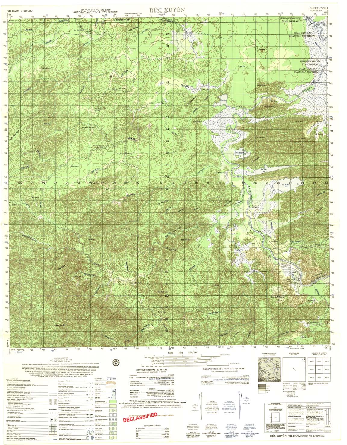
| Duc Xuyen | 6533_1 | 1969 | 20 | US Army | 6533_1.jpg | 6533_1.tif | 6533_1.zip |
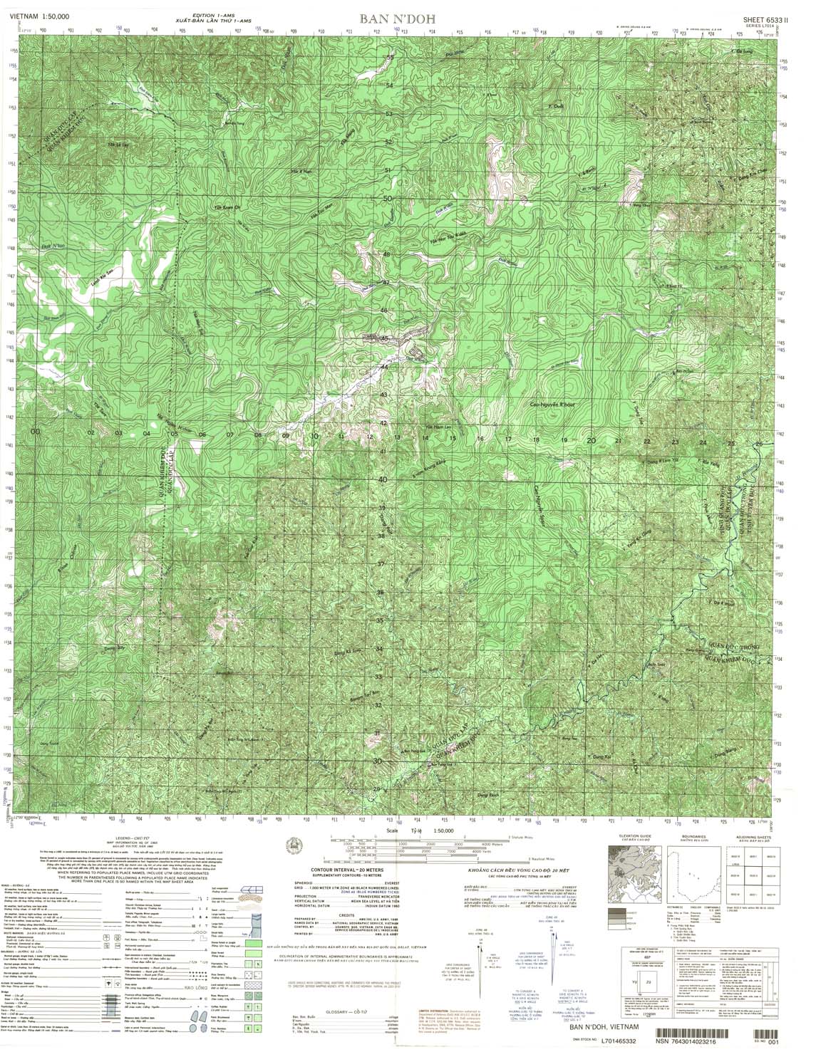
| Ban N'Doh | 6533_2 | 1965 | 20 | US Army | 6533_2.jpg | 6533_2.tif | 6533_2.zip |
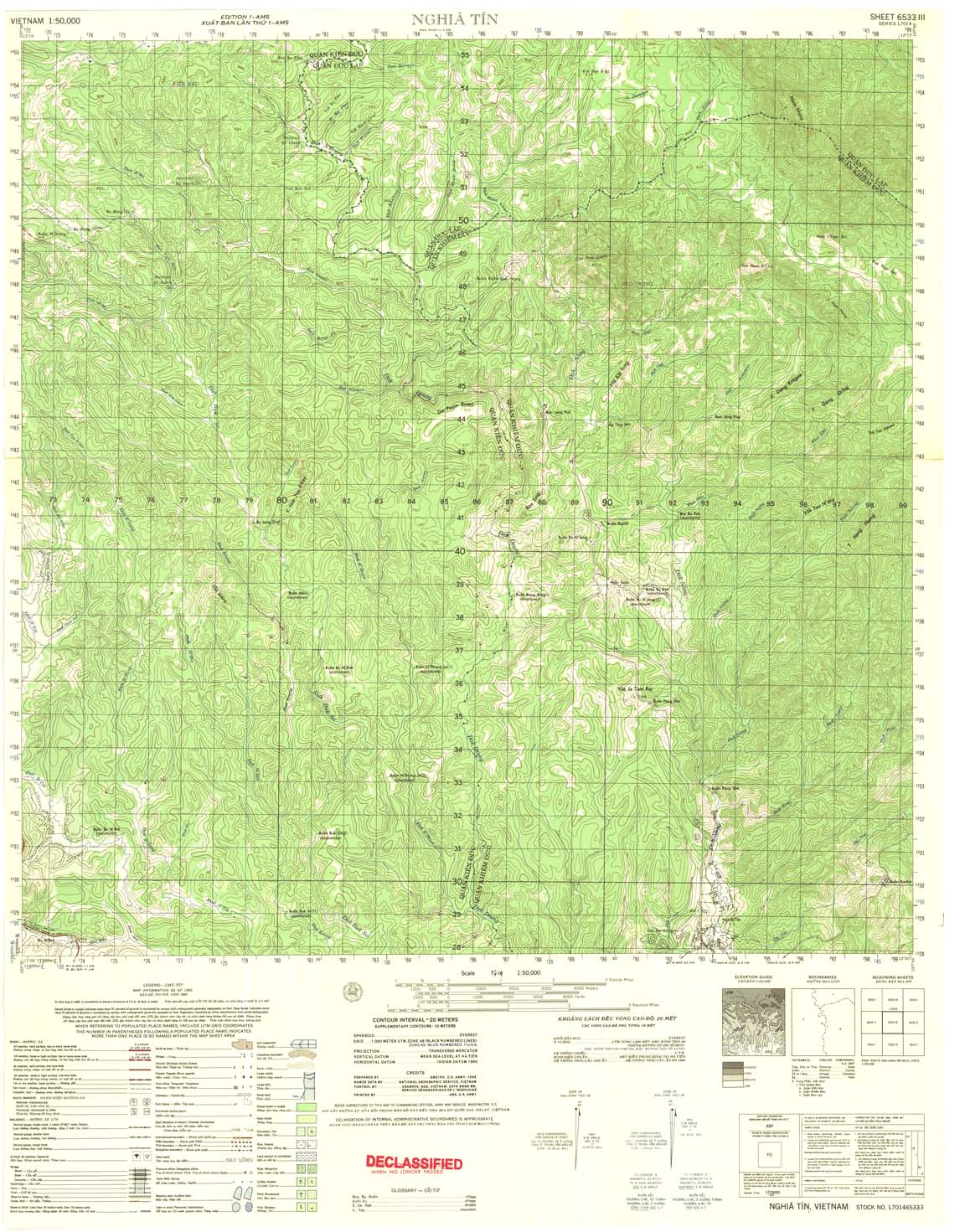
| Nghia Tin | 6533_3 | 1965 | 20 | US Army | 6533_3.jpg | 6533_3.tif | 6533_3.zip |
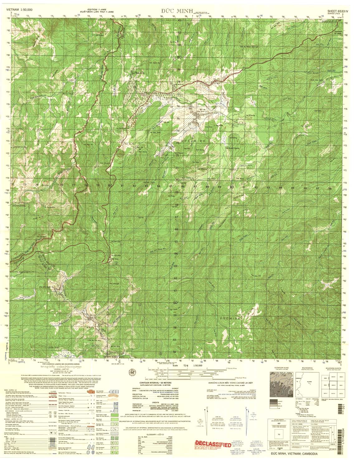
| Duc Minh | 6533_4 | 1965 | 20 | US Army | 6533_4.jpg | 6533_4.tif | 6533_4.zip |
| Ban Don | 6534_1 | 1965 | 20 | US Army | 6534_1.jpg | 6534_1.tif | 6534_1.zip |
| Xa Tho Thanh | 6534_2 | 1965 | 20 | NIMA | 6534_2.jpg | 6534_2.tif | 6534_2.zip |
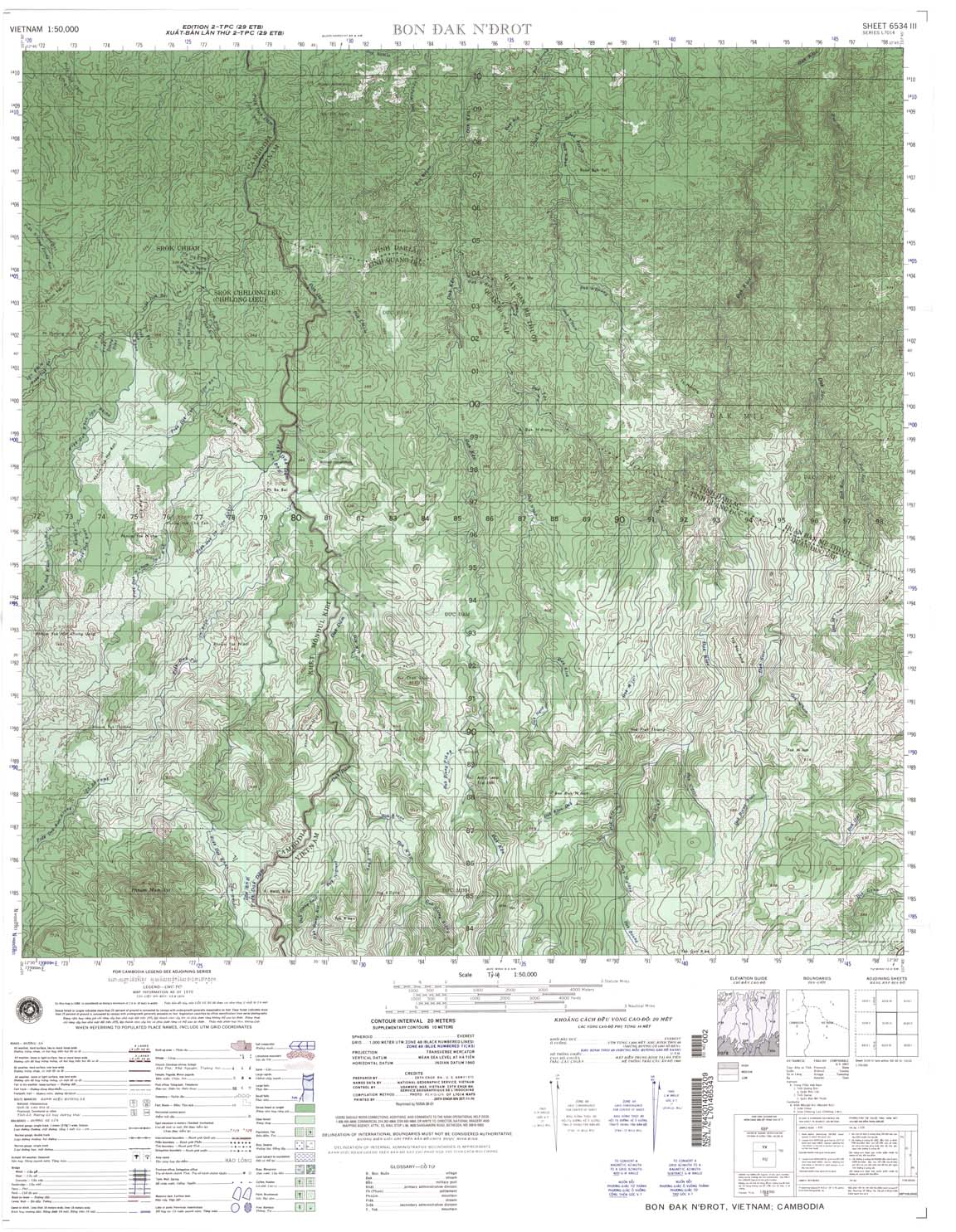
| Bon Dak N'Drot | 6534_3 | 1970 | 20 | NIMA | 6534_3.jpg | 6534_3.tif | 6534_3.zip |
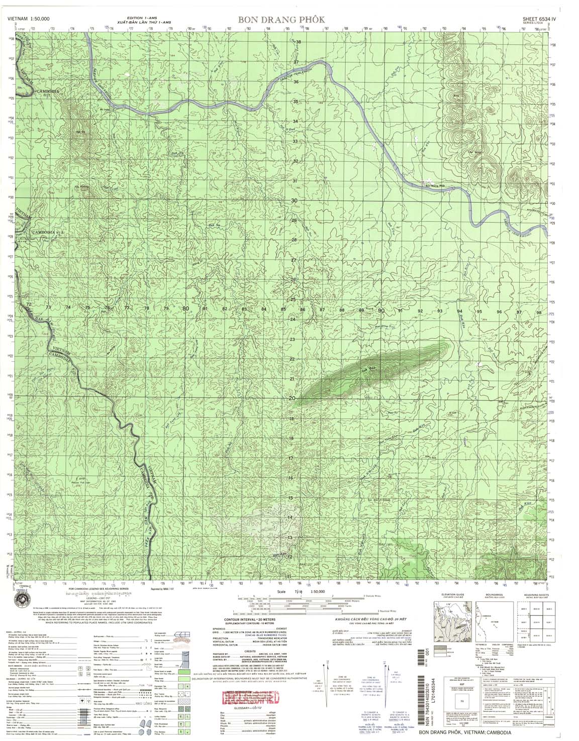
| Bon Drang Phok | 6534_4 | 1965 | 20 | US Army | 6534_4.jpg | 6534_4.tif | 6534_4.zip |
| Tieu Teo | 6535_1 | 1965 | 20 | NIMA | 6535_1.jpg | 6535_1.tif | 6535_1.zip |
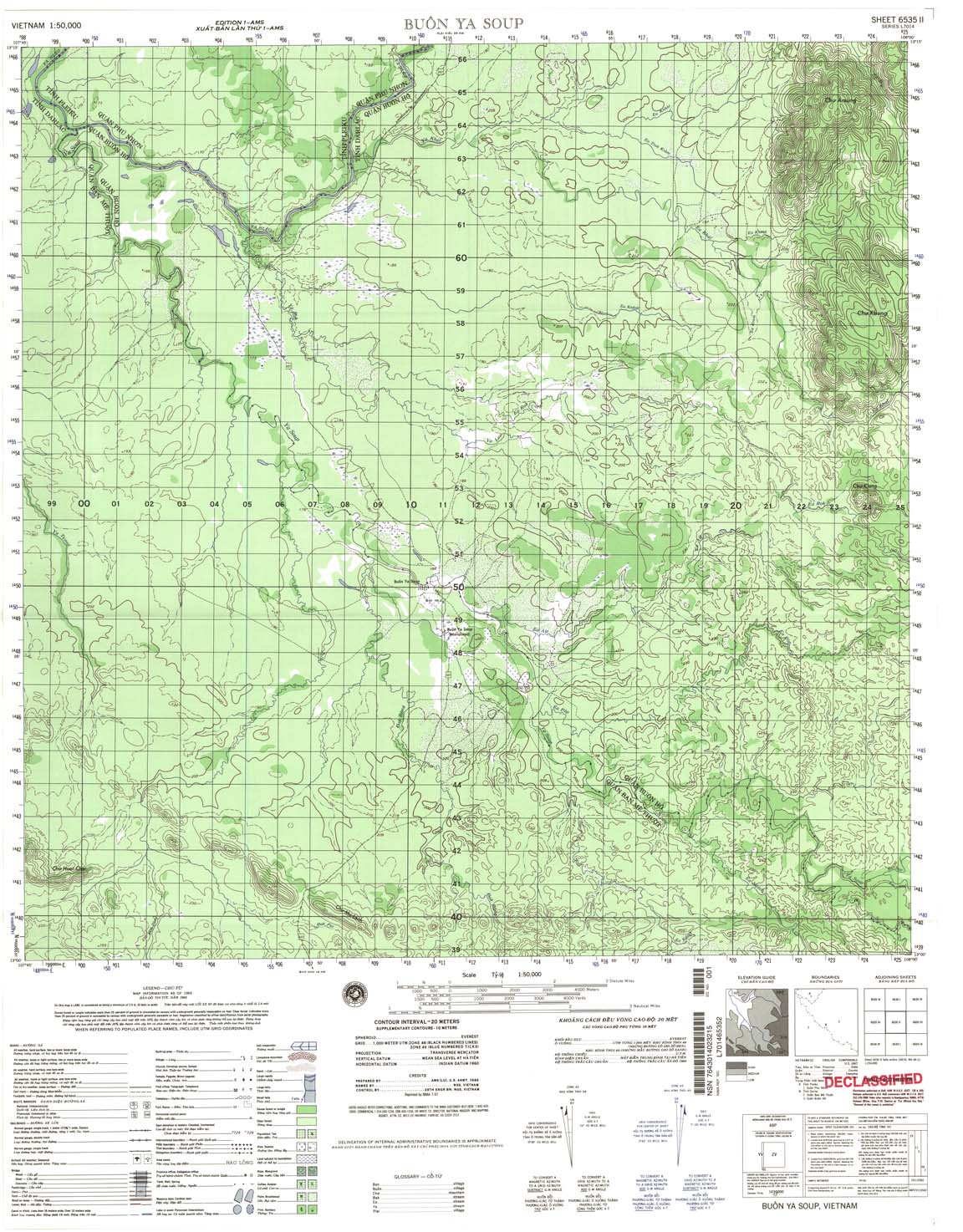
| Buon Ya Soup | 6535_2 | 1965 | 20 | NIMA | 6535_2.jpg | 6535_2.tif | 6535_2.zip |
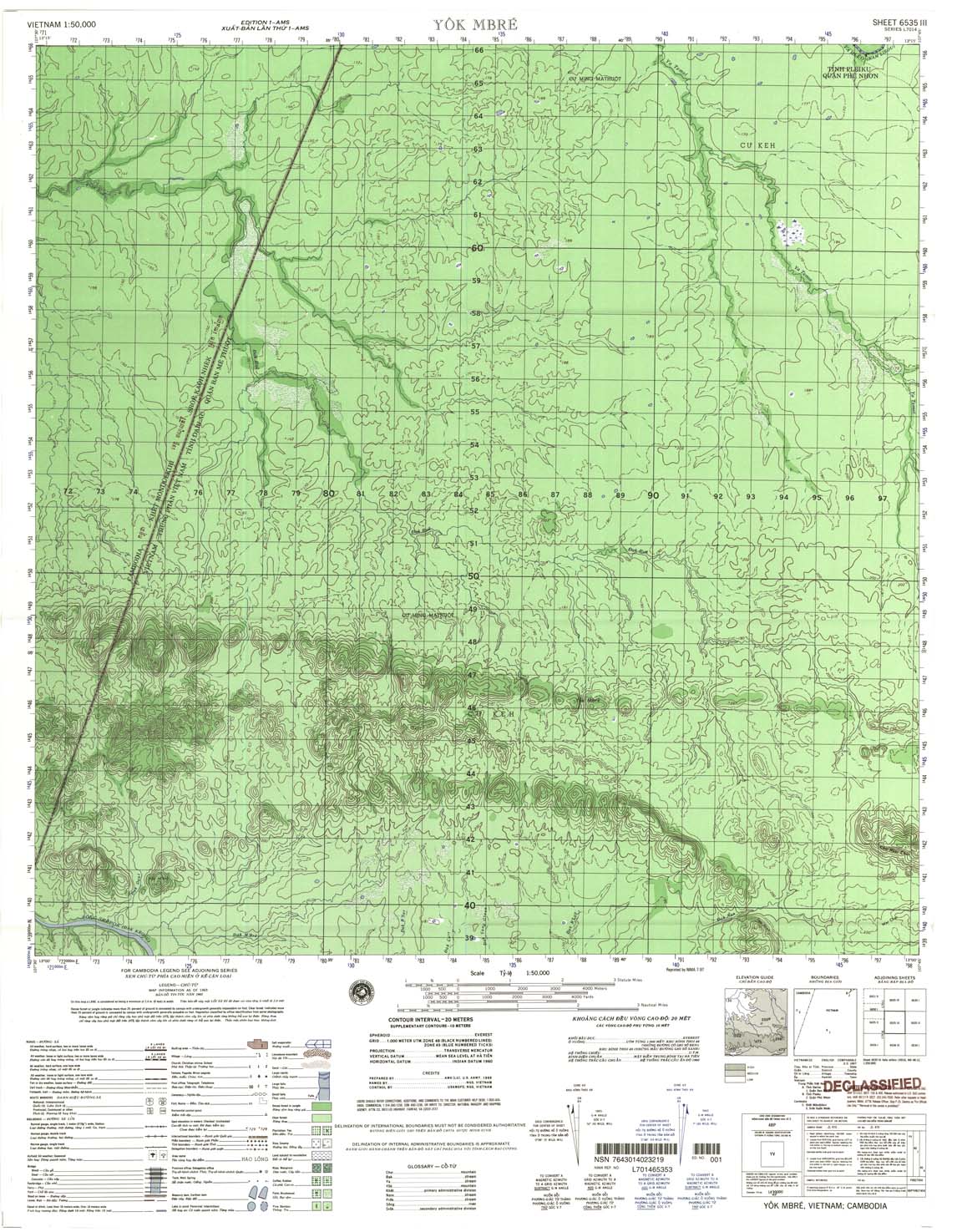
| Yok Mbre | 6535_3 | 1965 | 20 | US Army | 6535_3.jpg | 6535_3.tif | 6535_3.zip |
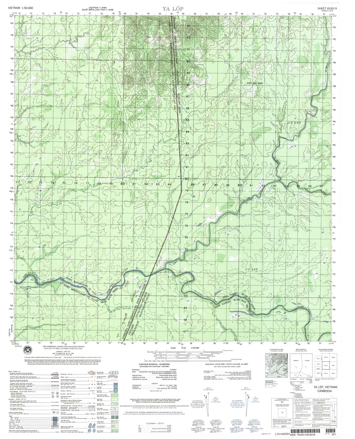
| Ya Lop | 6535_4 | 1965 | 20 | NIMA | 6535_4.jpg | 6535_4.tif | 6535_4.zip |
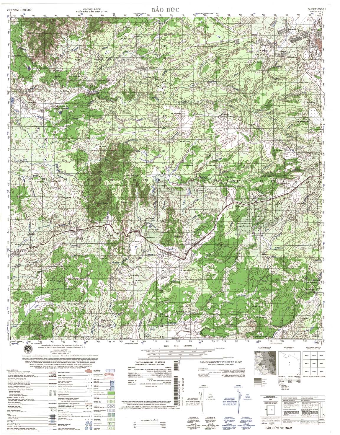
| Bao Duc | 6536_1 | 1970 | 20 | NIMA | 6536_1.jpg | 6536_1.tif | 6536_1.zip |
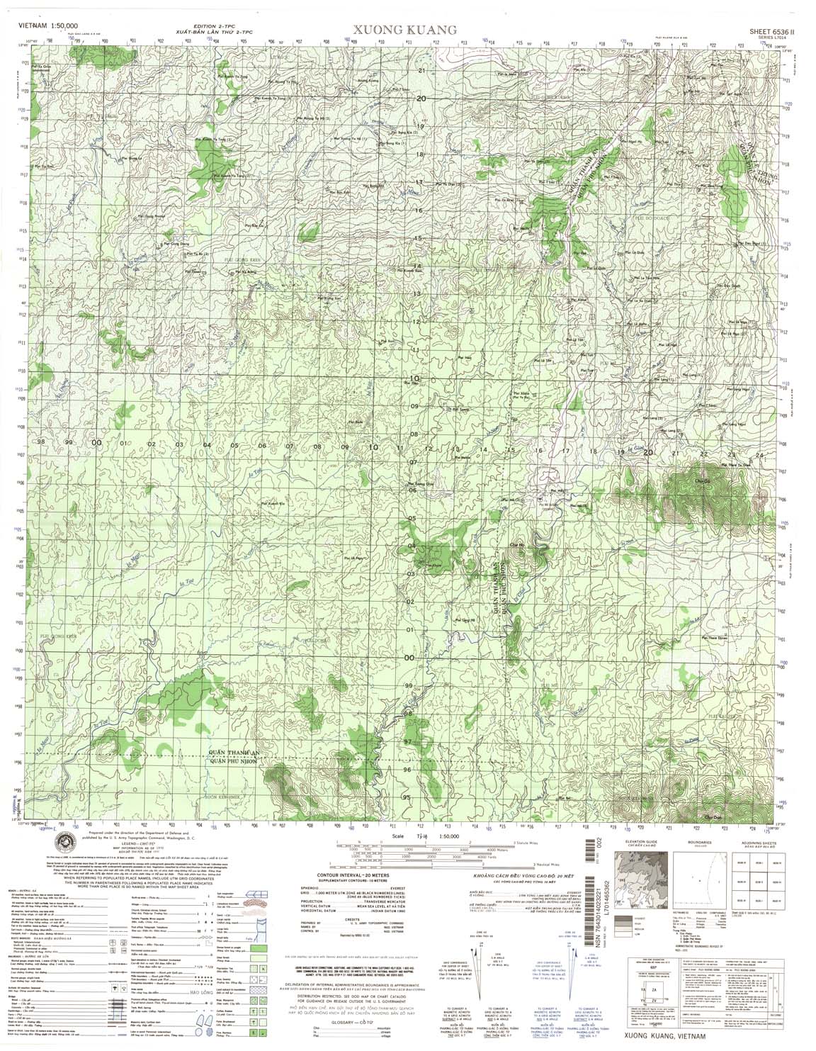
| Xuong Kuang | 6536_2 | 1970 | 20 | NIMA | 6536_2.jpg | 6536_2.tif | 6536_2.zip |
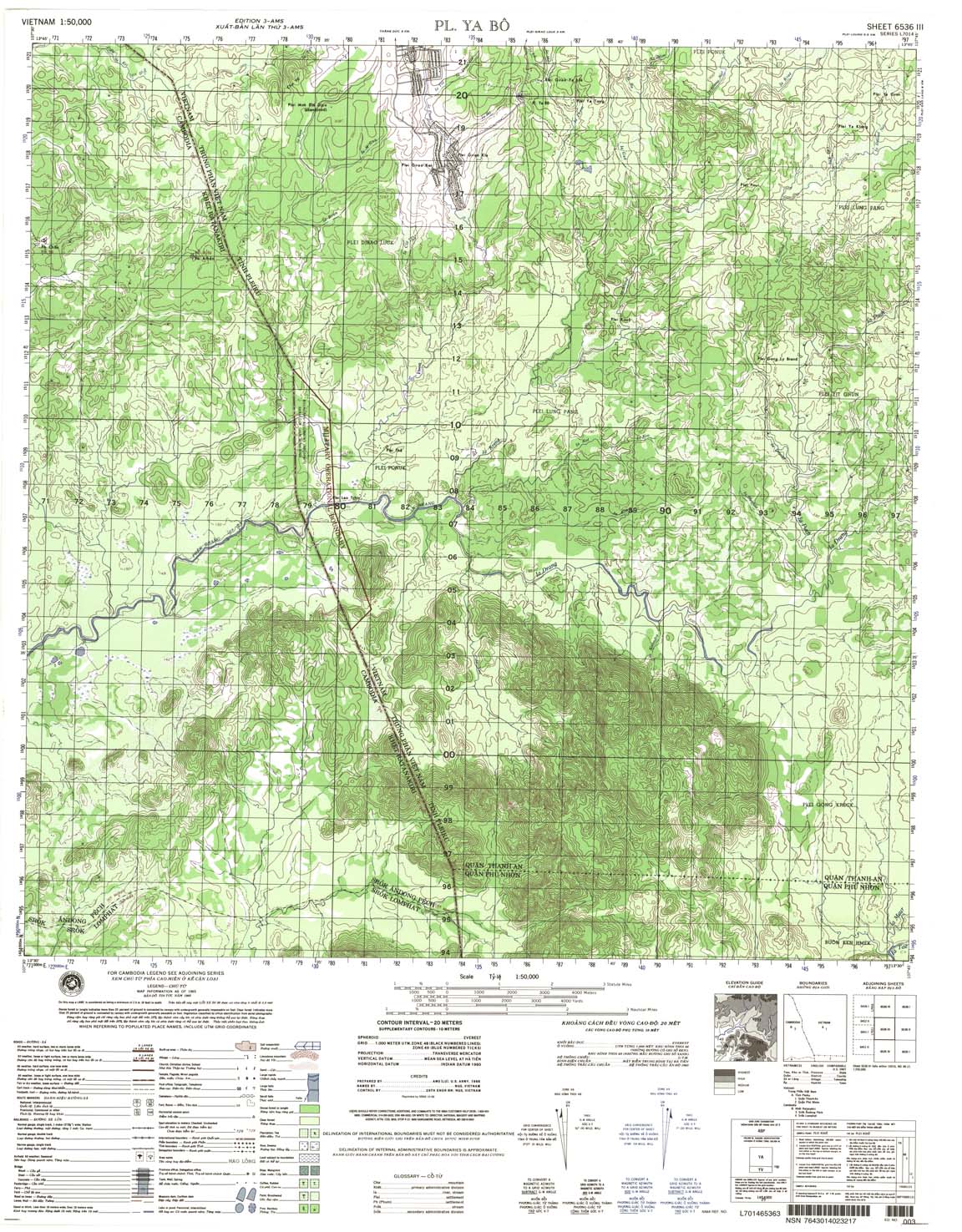
| Pl Ya Bo | 6536_3 | 1965 | 20 | NIMA | 6536_3.jpg | 6536_3.tif | 6536_3.zip |
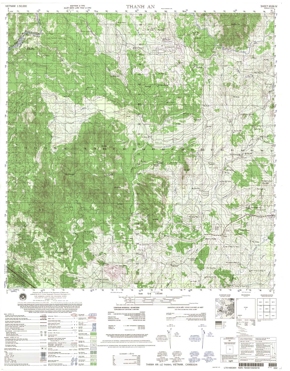
| Thanh An | 6536_4 | 1970 | 20 | NIMA | 6536_4.jpg | 6536_4.tif | 6536_4.zip |
| Polei Breng | 6537_1 | 1970 | 20 | NIMA | 6537_1.jpg | 6537_1.tif | 6537_1.zip |
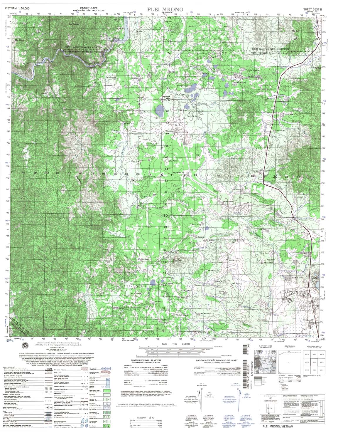
| Plei Mrong | 6537_2 | 1970 | 20 | NIMA | 6537_2.jpg | 6537_2.tif | 6537_2.zip |
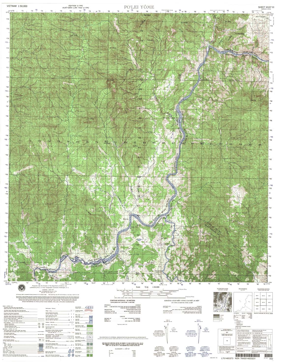
| Po Lei Yome | 6537_3 | 1970 | 20 | NIMA | 6537_3.jpg | 6537_3.tif | 6537_3.zip |
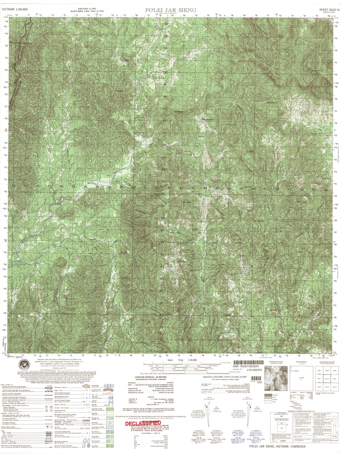
| Polei Jar Sieng | 6537_4 | 1970 | 20 | NIMA | 6537_4.jpg | 6537_4.tif | 6537_4.zip |
| Kon Honong | 6538_1 | 1965 | 20 | NIMA | 6538_1.jpg | 6538_1.tif | 6538_1.zip |
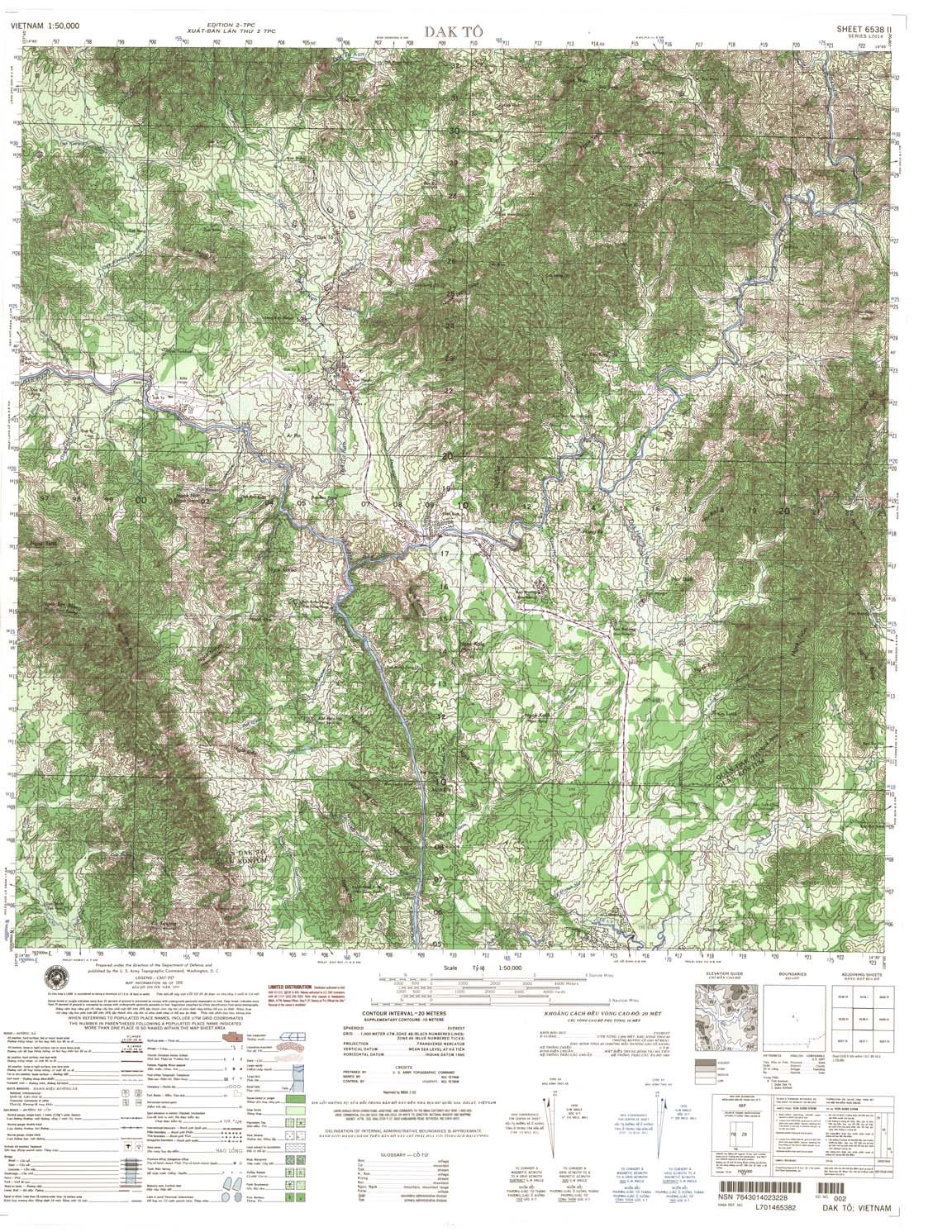
| Dak To | 6538_2 | 1970 | 20 | NIMA | 6538_2.jpg | 6538_2.tif | 6538_2.zip |
| Dak Mot Lop | 6538_3 | 1968 | 20 | NIMA | 6538_3.jpg | 6538_3.tif | 6538_3.zip |
| Dak Sut | 6538_4 | 1968 | 20 | NIMA | 6538_4.jpg | 6538_4.tif | 6538_4.zip |
| Kason Mai | 6539_1 | 1965 | 20 | US Army | 6539_1.jpg | 6539_1.tif | 6539_1.zip |
| G Rieng | 6539_2 | 1965 | 20 | NIMA | 6539_2.jpg | 6539_2.tif | 6539_2.zip |
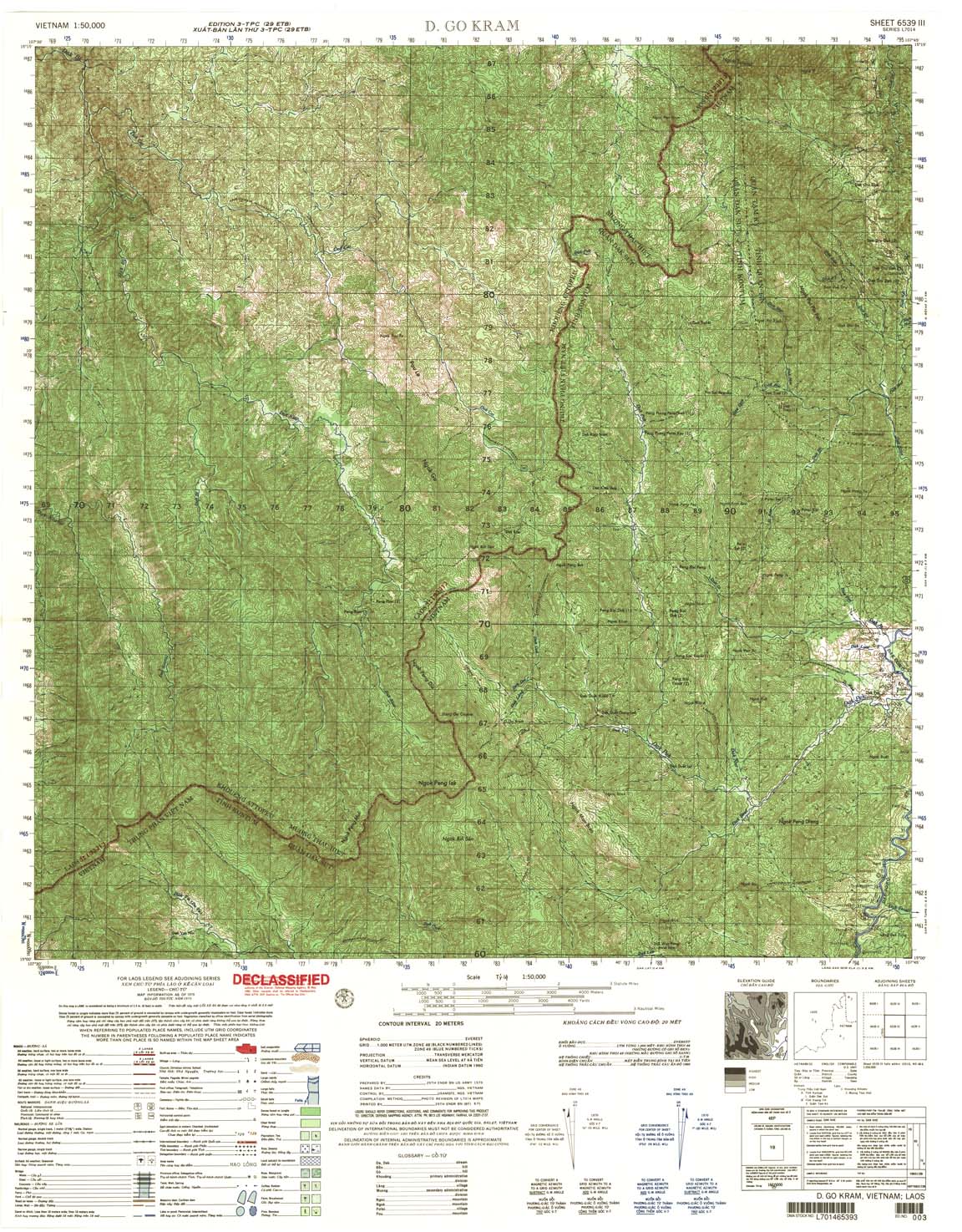
| D Go Kram | 6539_3 | 1970 | 20 | US Army | 6539_3.jpg | 6539_3.tif | 6539_3.zip |
| Peta {ac | 6539_4 | 1970 | 20 | NIMA | 6539_4.jpg | 6539_4.tif | 6539_4.zip |
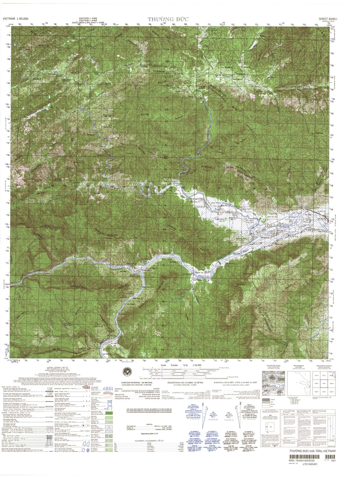
| Thuong Duc | 6540_1 | 1965 | 20 | NIMA | 6540_1.jpg | 6540_1.tif | 6540_1.zip |
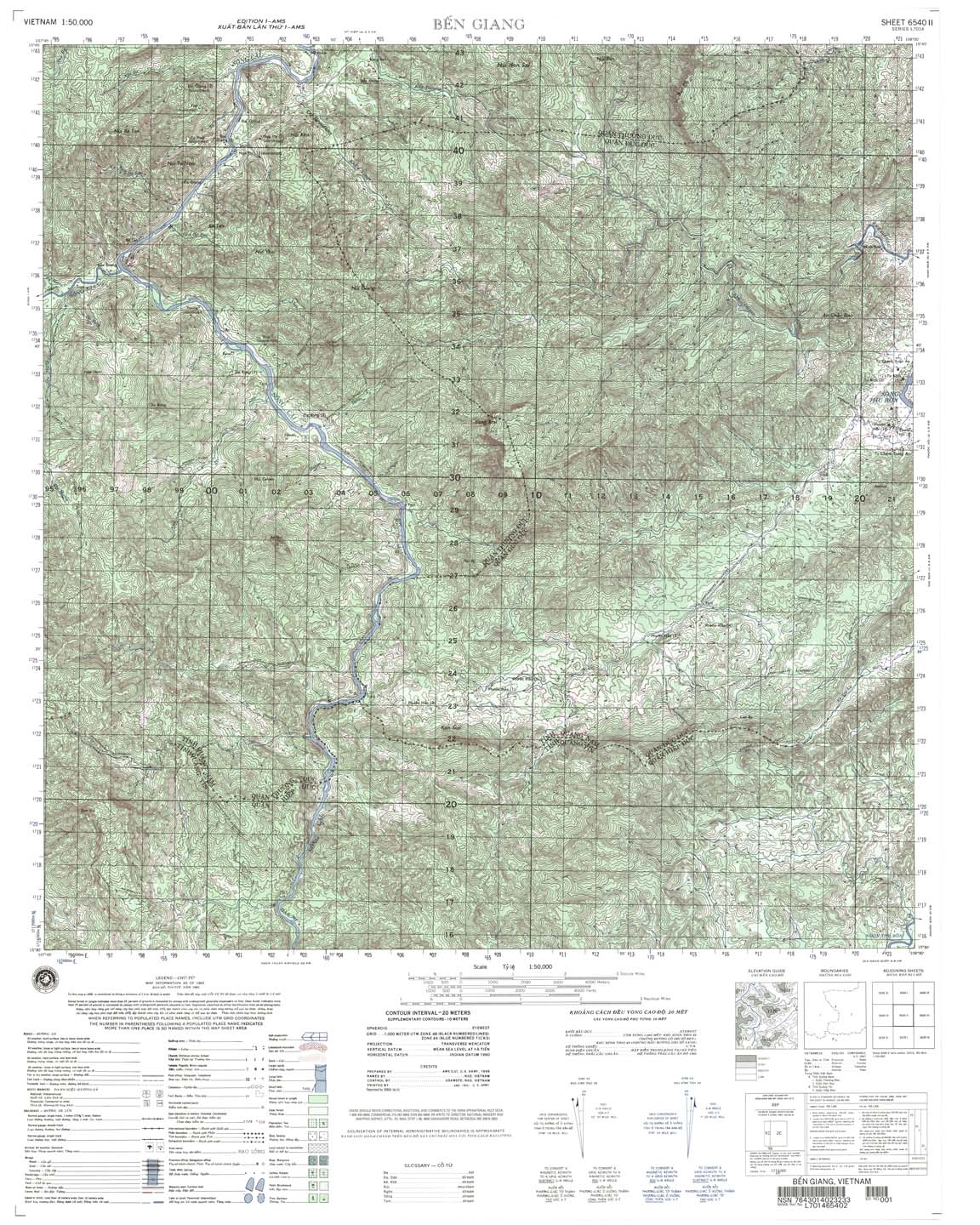
| Ben Giang | 6540_2 | 1965 | 20 | NIMA | 6540_2.jpg | 6540_2.tif | 6540_2.zip |
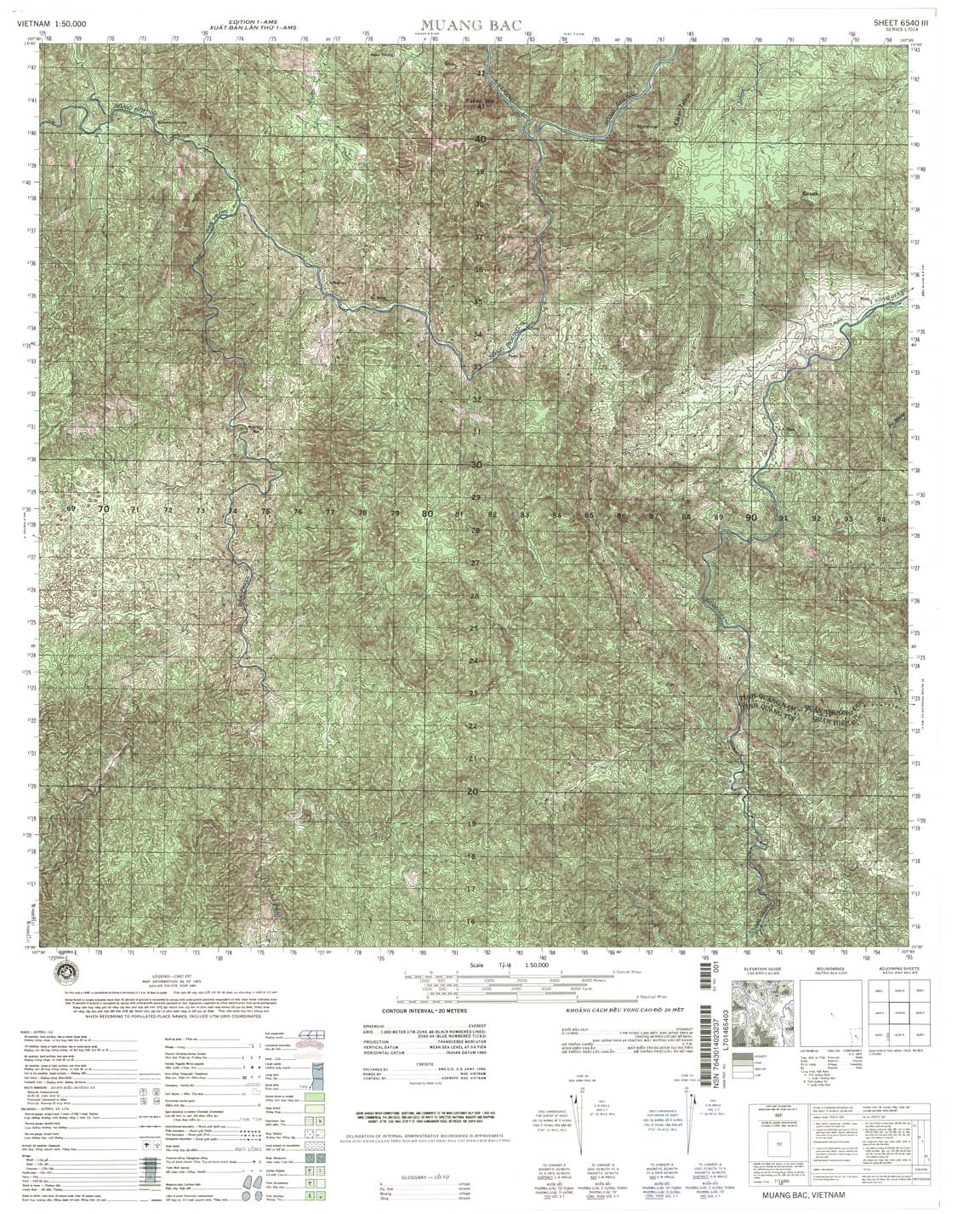
| Muang Bac | 6540_3 | 1965 | 20 | NIMA | 6540_3.jpg | 6540_3.tif | 6540_3.zip |
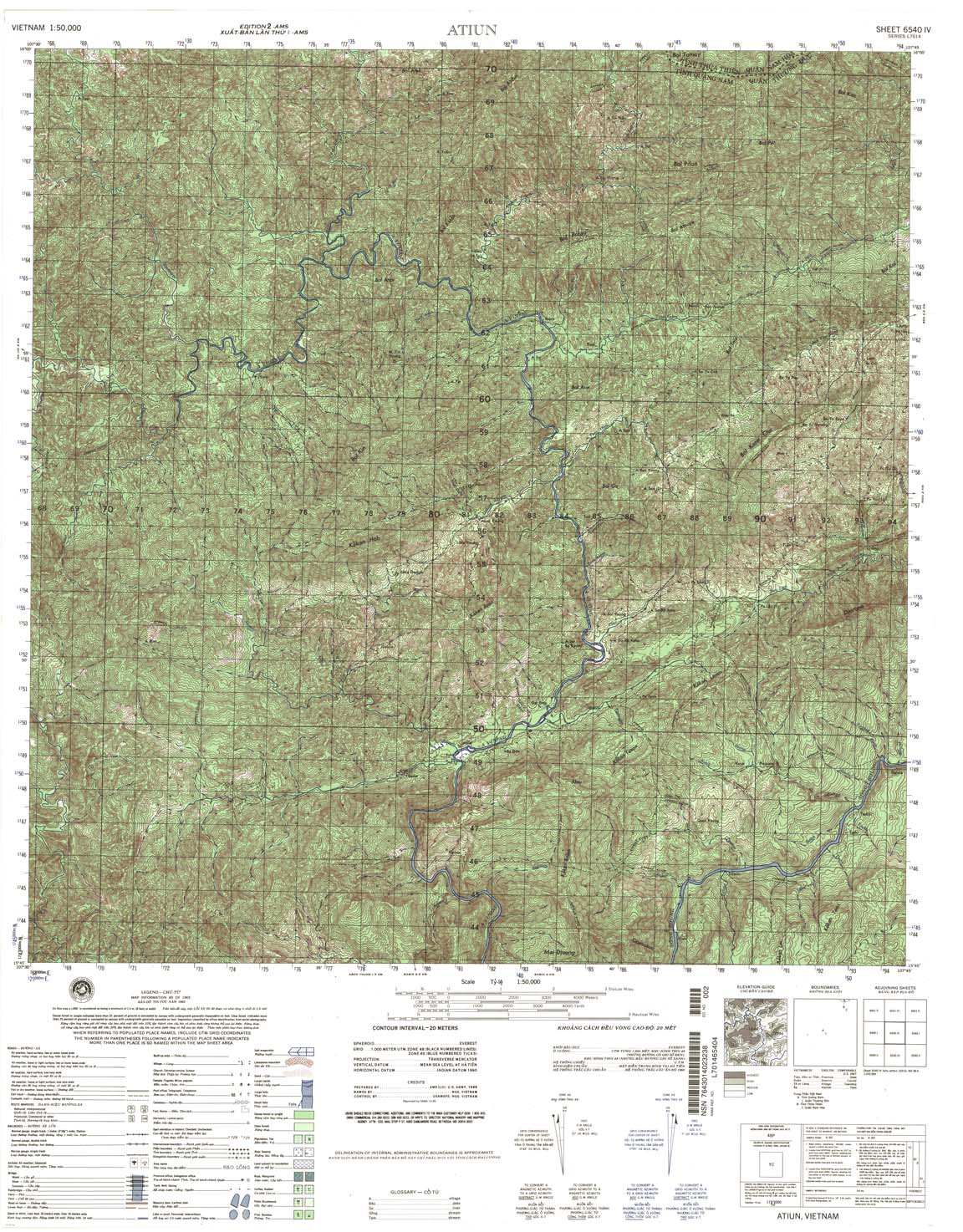
| Atiun | 6540_4 | 1965 | 20 | NIMA | 6540_4.jpg | 6540_4.tif | 6540_4.zip |
| Q Phu Loc | 6541_1 | 1970 | 20 | NIMA | 6541_1.jpg | 6541_1.tif | 6541_1.zip |
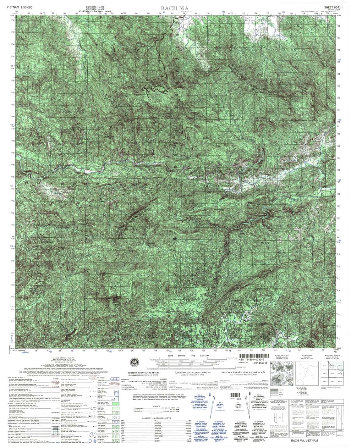
| Bach Ma | 6541_2 | 1965 | 20 | NIMA | 6541_2.jpg | 6541_2.tif | 6541_2.zip |
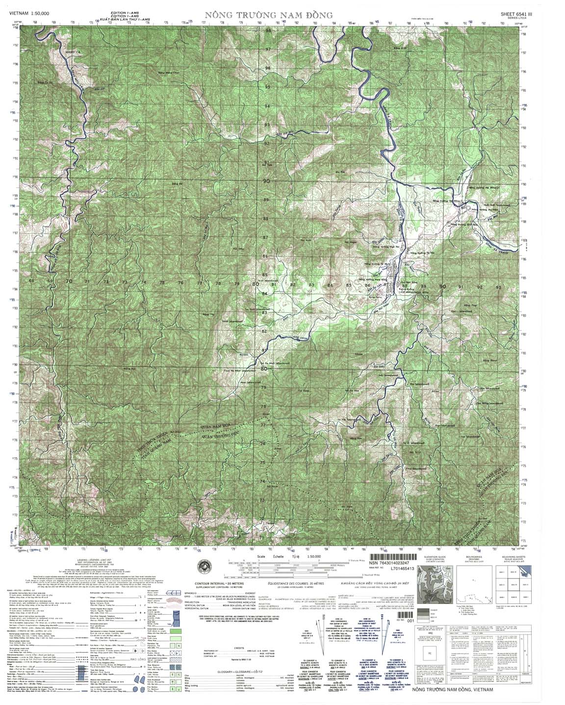
| Nong Truong Nam Dong | 6541_3 | 1965 | 20 | NIMA | 6541_3.jpg | 6541_3.tif | 6541_3.zip |
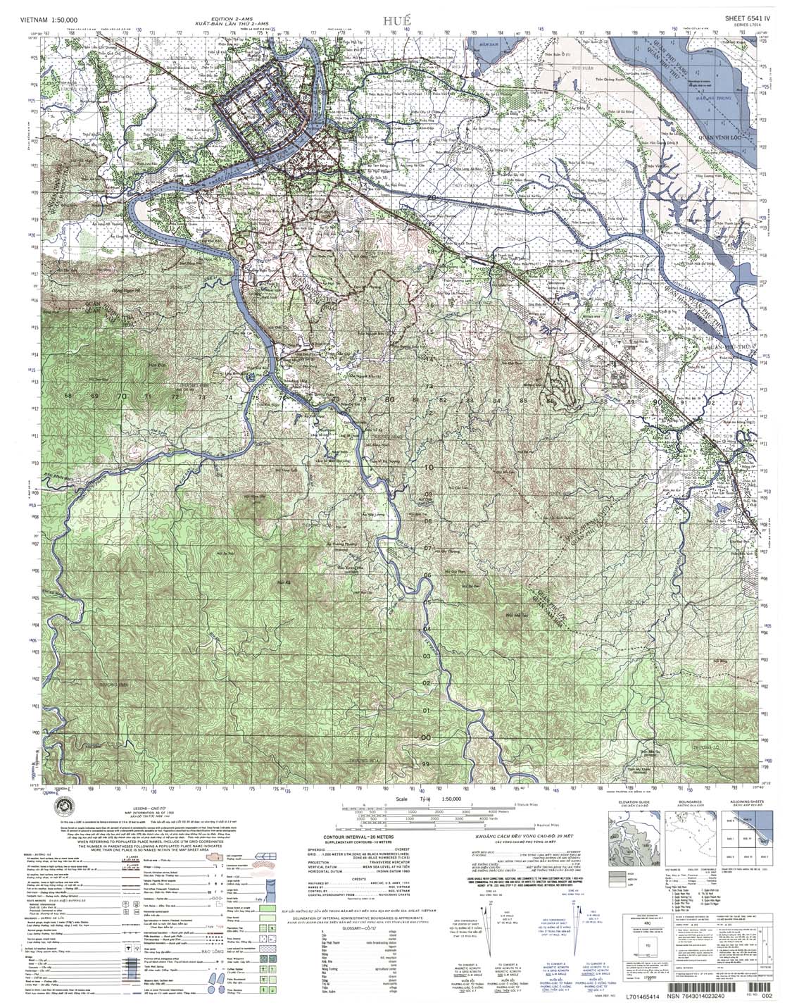
| Hue | 6541_4 | 1965 | 20 | NIMA | 6541_4.jpg | 6541_4.tif | 6541_4.zip |
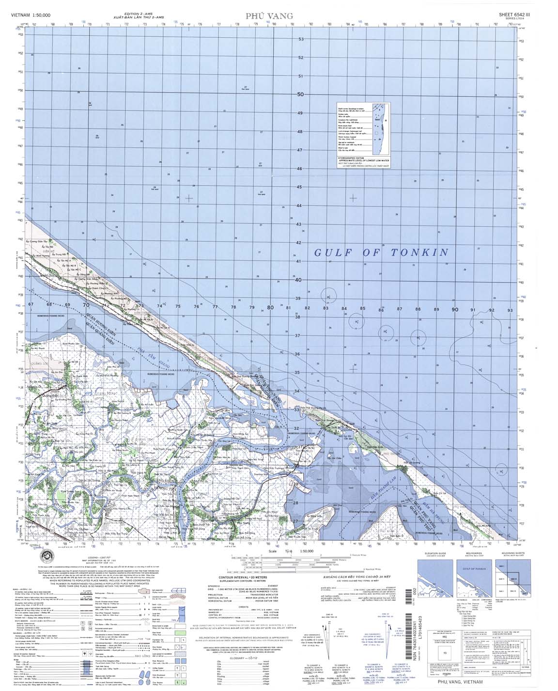
| Phu Vang | 6542_3 | 1965 | 20 | NIMA | 6542_3.jpg | 6542_3.tif | 6542_3.zip |
| I;e Cu Xu | 6550_1 | 1965 | 20 | US Army | 6550_1.jpg | 6550_1.tif | 6550_1.zip |
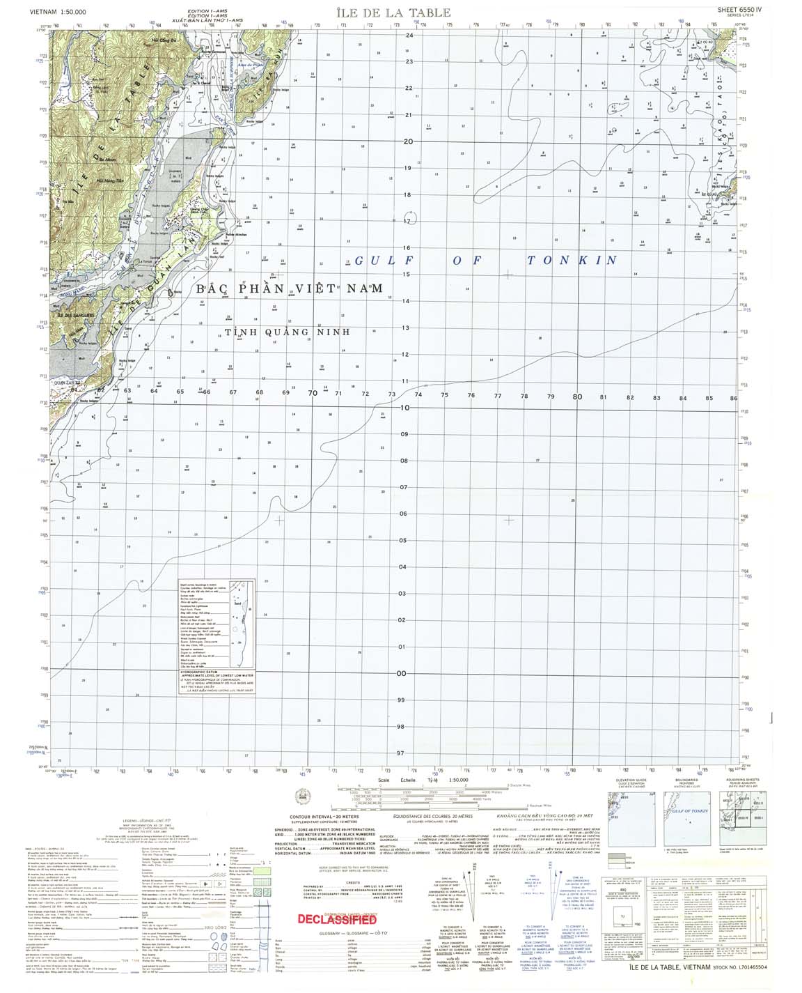
| Ile De La Table | 6550_4 | 1965 | 20 | US Army | 6550_4.jpg | 6550_4.tif | 6550_4.zip |
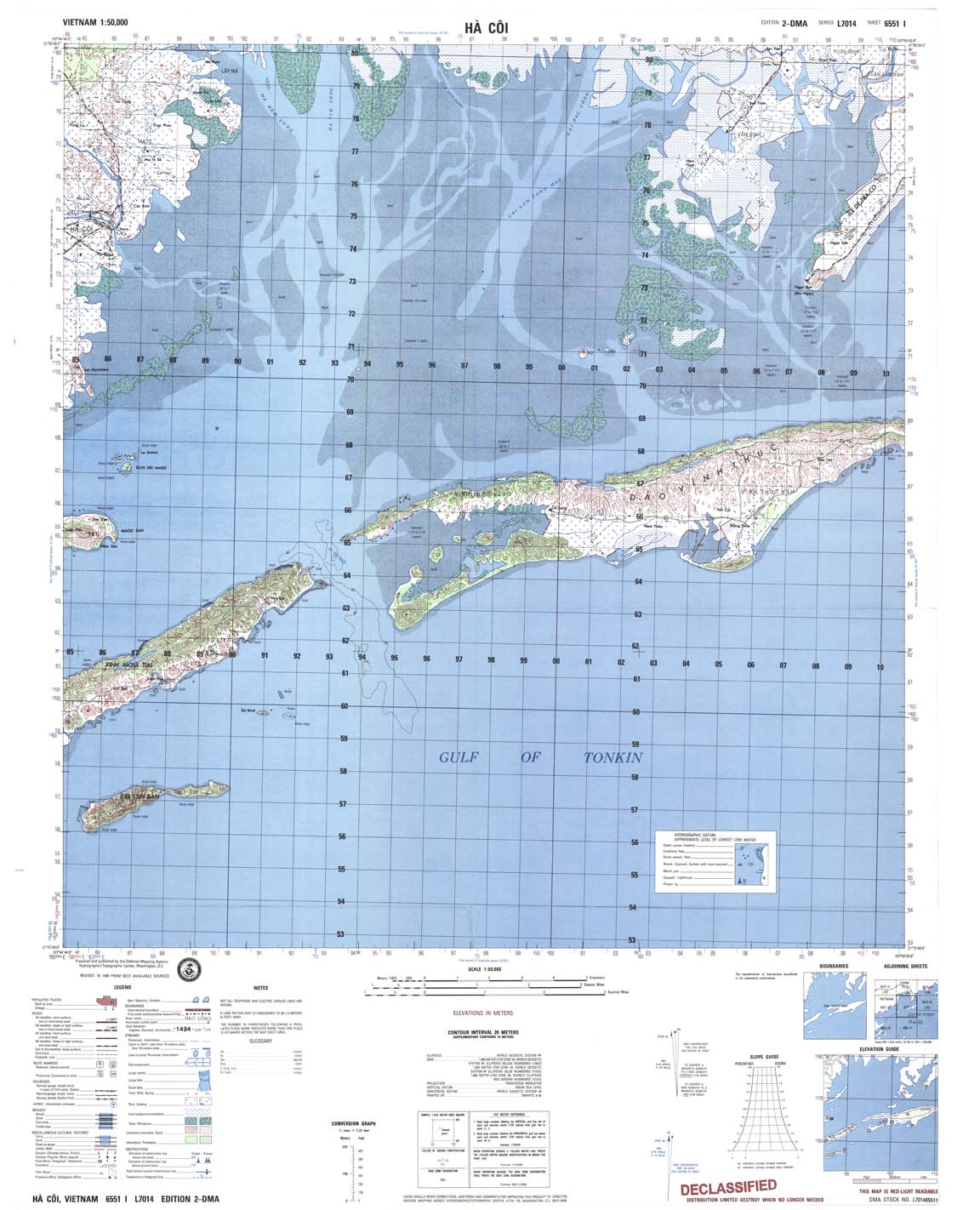
| Ha Coi | 6551_1 | 1989 | 20 | DMA | 6551_1.jpg | 6551_1.tif | 6551_1.zip |
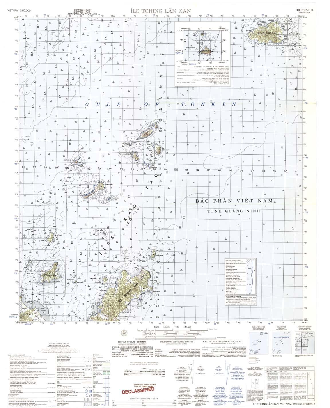
| Ile Tching Lan Xan | 6551_2 | 1965 | 20 | US Army | 6551_2.jpg | 6551_2.tif | 6551_2.zip |
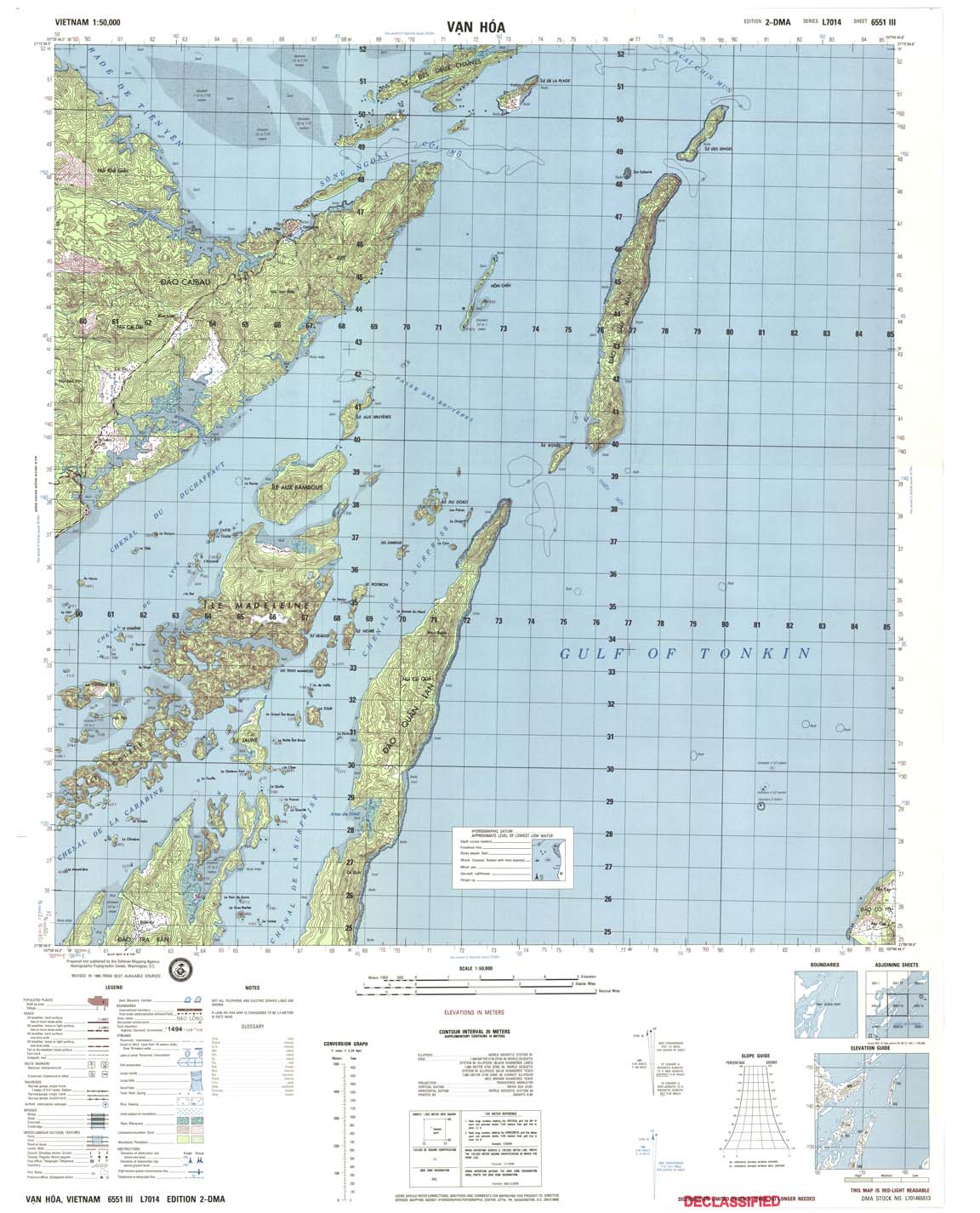
| Van Hoa | 6551_3 | 1989 | 20 | DMA | 6551_3.jpg | 6551_3.tif | 6551_3.zip |
| Dam Ha | 6551_4 | 1965 | 20 | US Army | 6551_4.jpg | 6551_4.tif | 6551_4.zip |
| Hai Long | 6630_1 | 1965 | 20 | US Army | 6630_1.jpg | 6630_1.tif | 6630_1.zip |
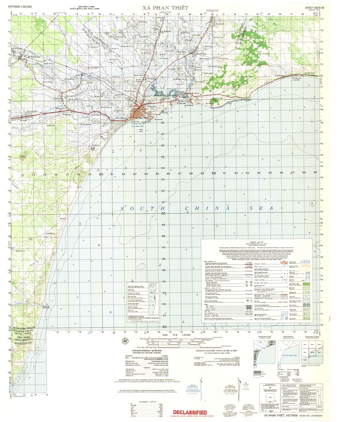
| Xa Phan Thiet | 6630_4 | 1966 | 20 | US Army | 6630_4.jpg | 6630_4.tif | 6630_4.zip |
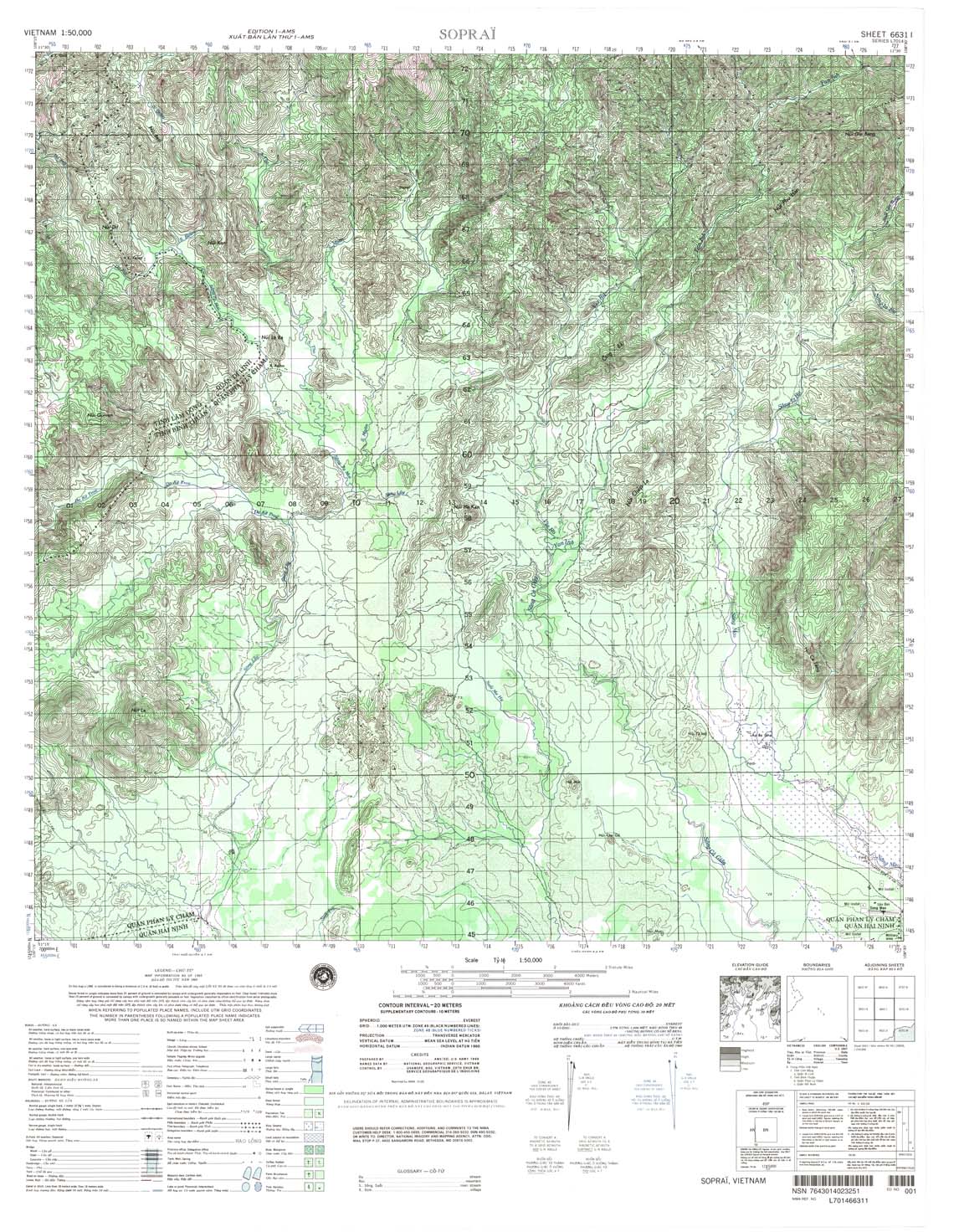
| Soprai | 6631_1 | 1965 | 20 | NIMA | 6631_1.jpg | 6631_1.tif | 6631_1.zip |
| Ap Luong Tay | 6631_2 | 1984 | 20 | DMA | 6631_2.jpg | 6631_2.tif | 6631_2.zip |
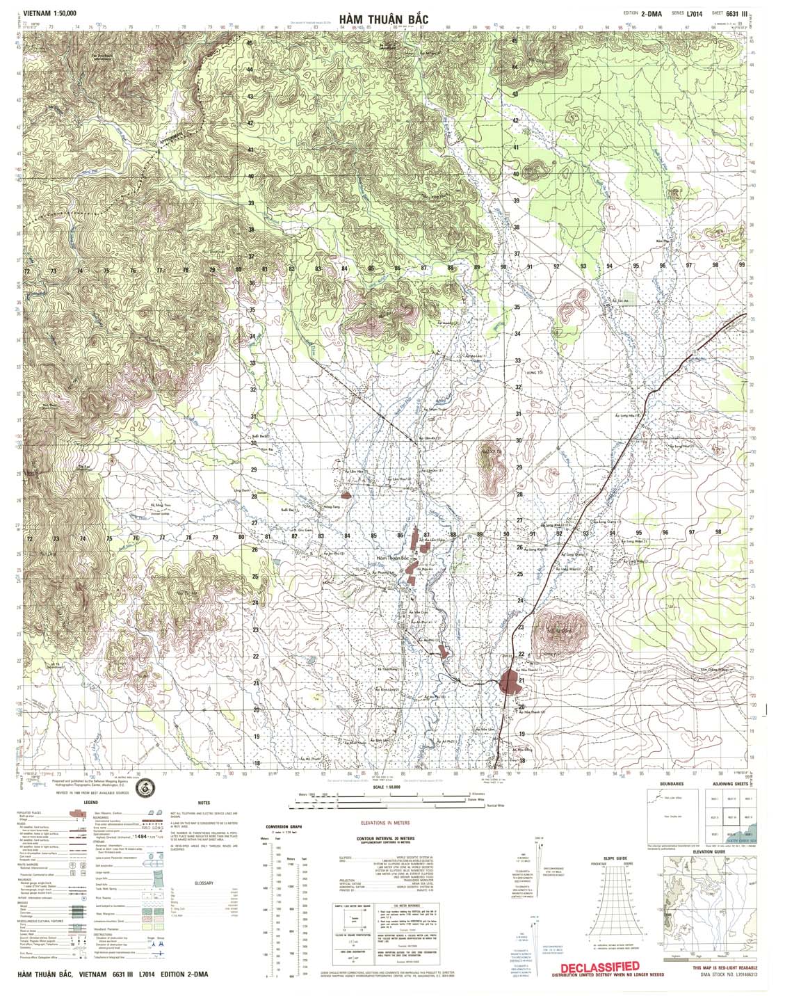
| Ham Thuan Bac | 6631_3 | 1989 | 20 | DMA | 6631_3.jpg | 6631_3.tif | 6631_3.zip |
| Ap Gia-Bac | 6631_4 | 1965 | 20 | US Army | 6631_4.jpg | 6631_4.tif | 6631_4.zip |
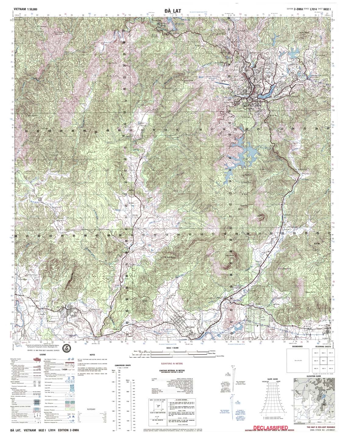
| Da Lat | 6632_1 | 1989 | 20 | DMA | 6632_1.jpg | 6632_1.tif | 6632_1.zip |
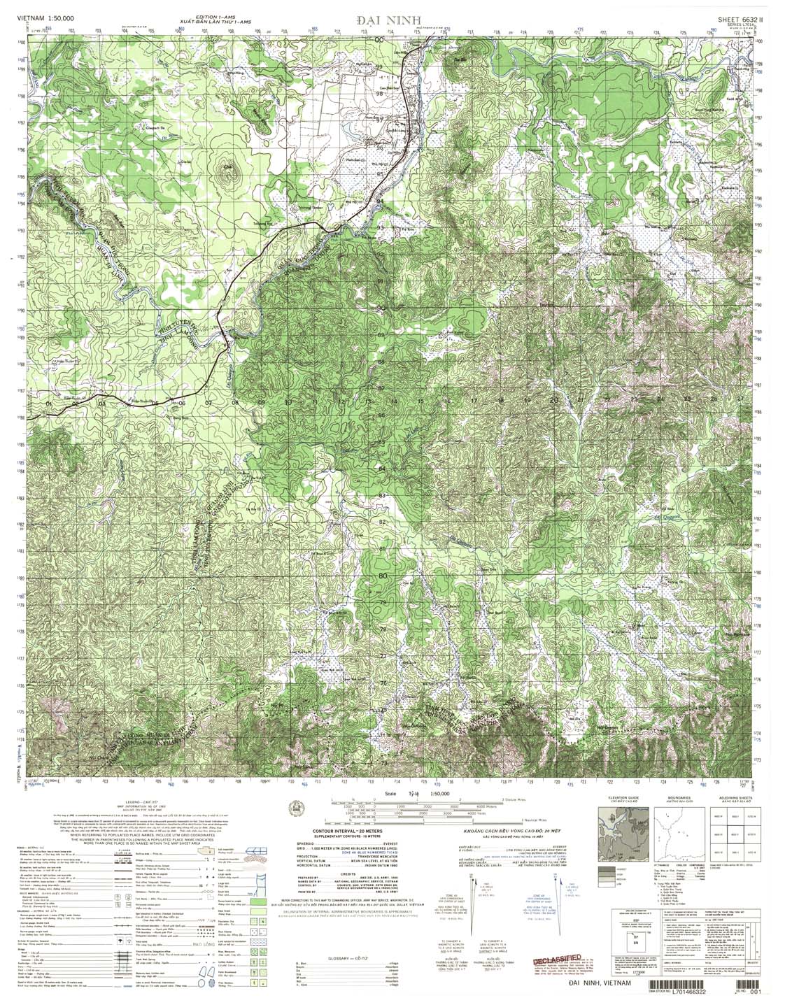
| Dai Ninh | 6632_2 | 1965 | 20 | US Army | 6632_2.jpg | 6632_2.tif | 6632_2.zip |
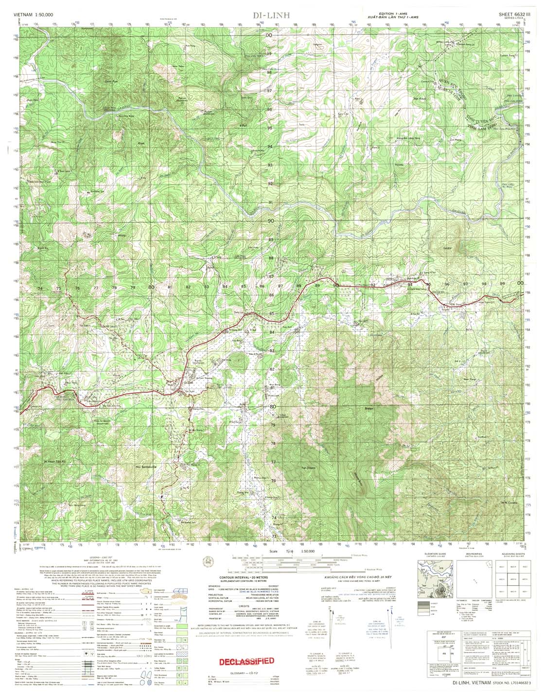
| Di - Linh | 6632_3 | 1965 | 20 | US Army | 6632_3.jpg | 6632_3.tif | 6632_3.zip |
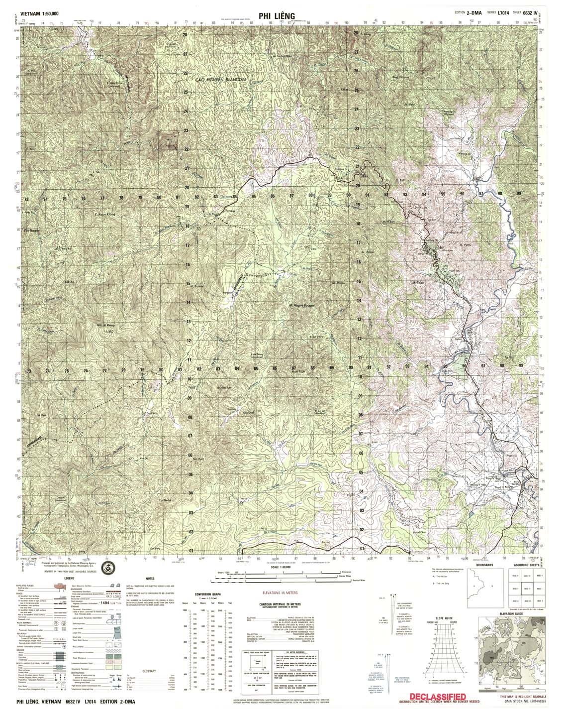
| Phi Lieng | 6632_4 | 1989 | 20 | DMA | 6632_4.jpg | 6632_4.tif | 6632_4.zip |
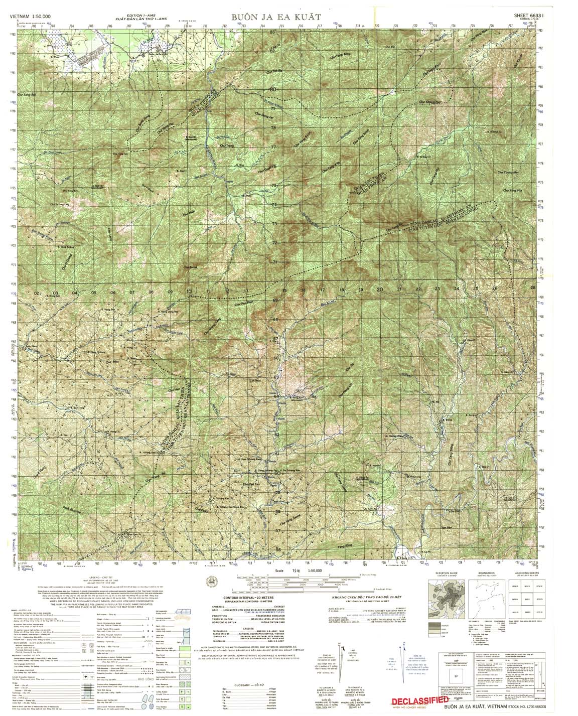
| Buon Ja Ea Kuat | 6633_1 | 1965 | 20 | US Army | 6633_1.jpg | 6633_1.tif | 6633_1.zip |
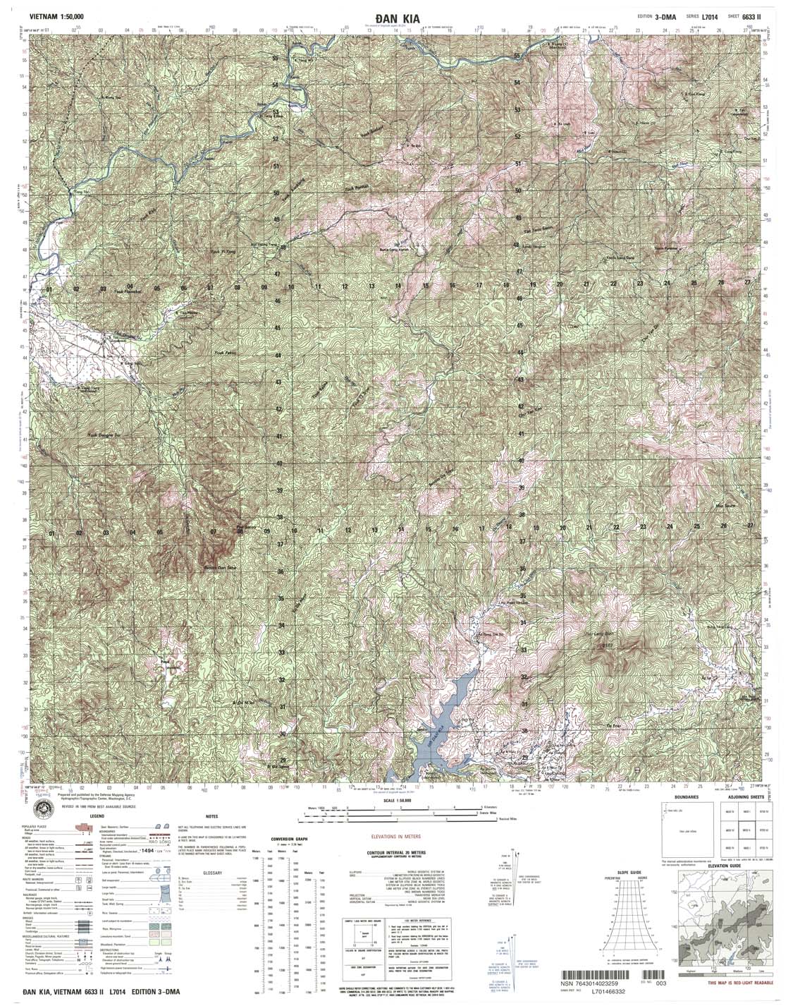
| Dan Kia | 6633_2 | 1999 | 20 | NIMA | 6633_2.jpg | 6633_2.tif | 6633_2.zip |
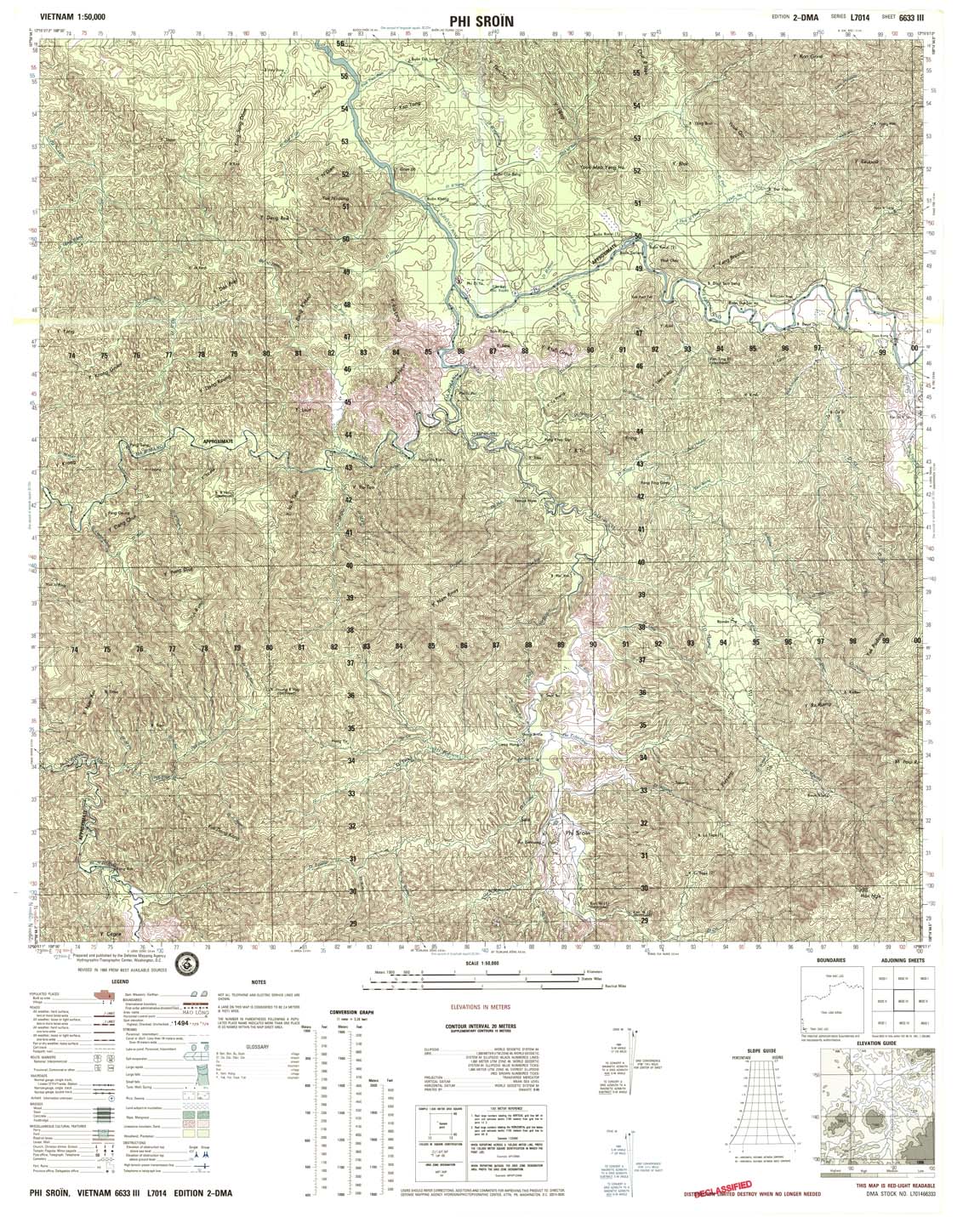
| Phi Sroin | 6633_3 | 1989 | 20 | DMA | 6633_3.jpg | 6633_3.tif | 6633_3.zip |
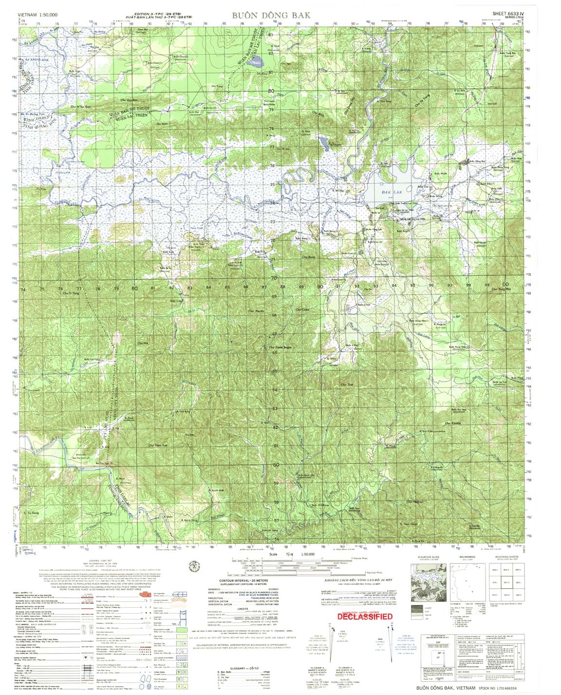
| Buon Dong Bak | 6633_4 | 1971 | 20 | US Army | 6633_4.jpg | 6633_4.tif | 6633_4.zip |
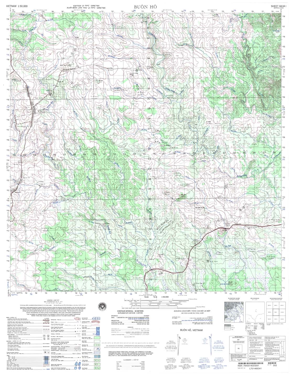
| Buon Ho | 6634_1 | 1970 | 20 | NIMA | 6634_1.jpg | 6634_1.tif | 6634_1.zip |
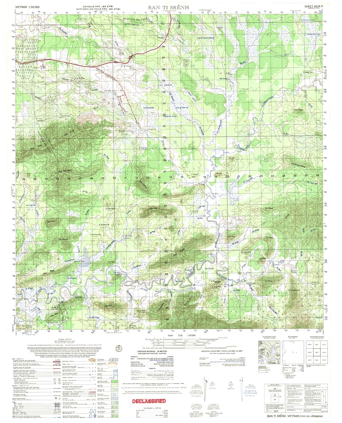
| Ban Ti Srenh | 6634_2 | 1970 | 20 | US Army | 6634_2.jpg | 6634_2.tif | 6634_2.zip |
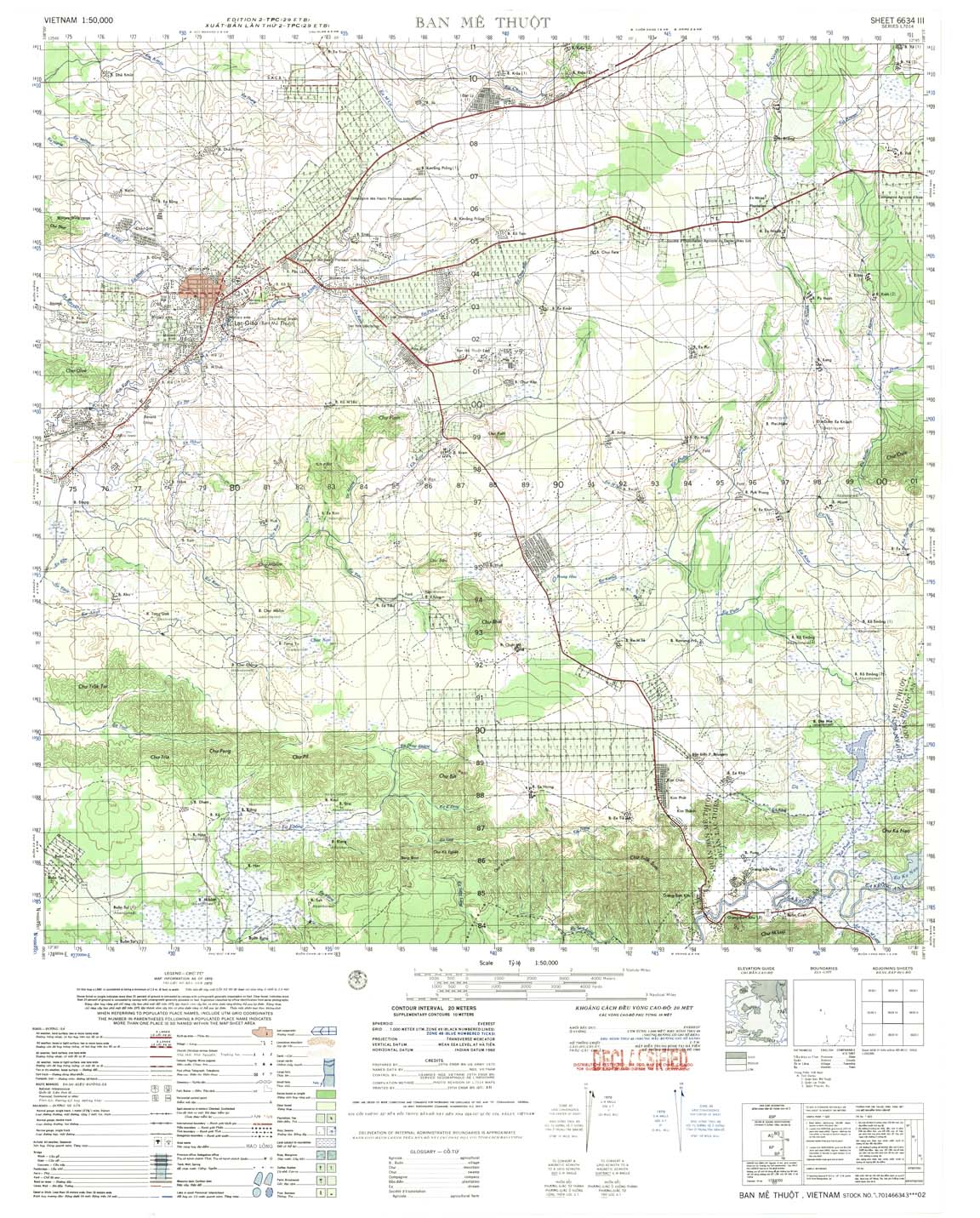
| Ban Me Thuot | 6634_3 | 1970 | 20 | US Army | 6634_3.jpg | 6634_3.tif | 6634_3.zip |
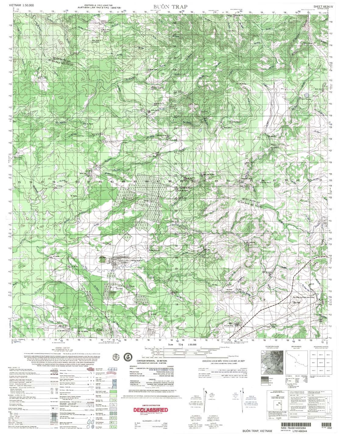
| Buon Trap | 6634_4 | 1970 | 20 | DMA | 6634_4.jpg | 6634_4.tif | 6634_4.zip |
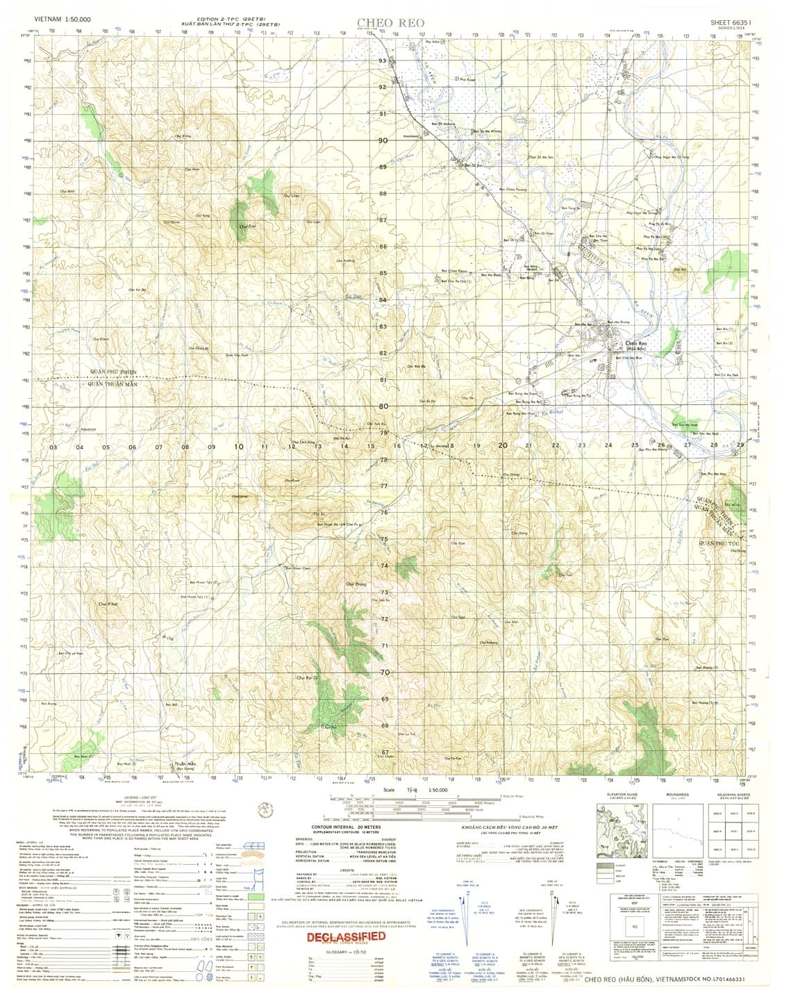
| Cheo Reo | 6635_1 | 1969 | 20 | US Army | 6635_1.jpg | 6635_1.tif | 6635_1.zip |
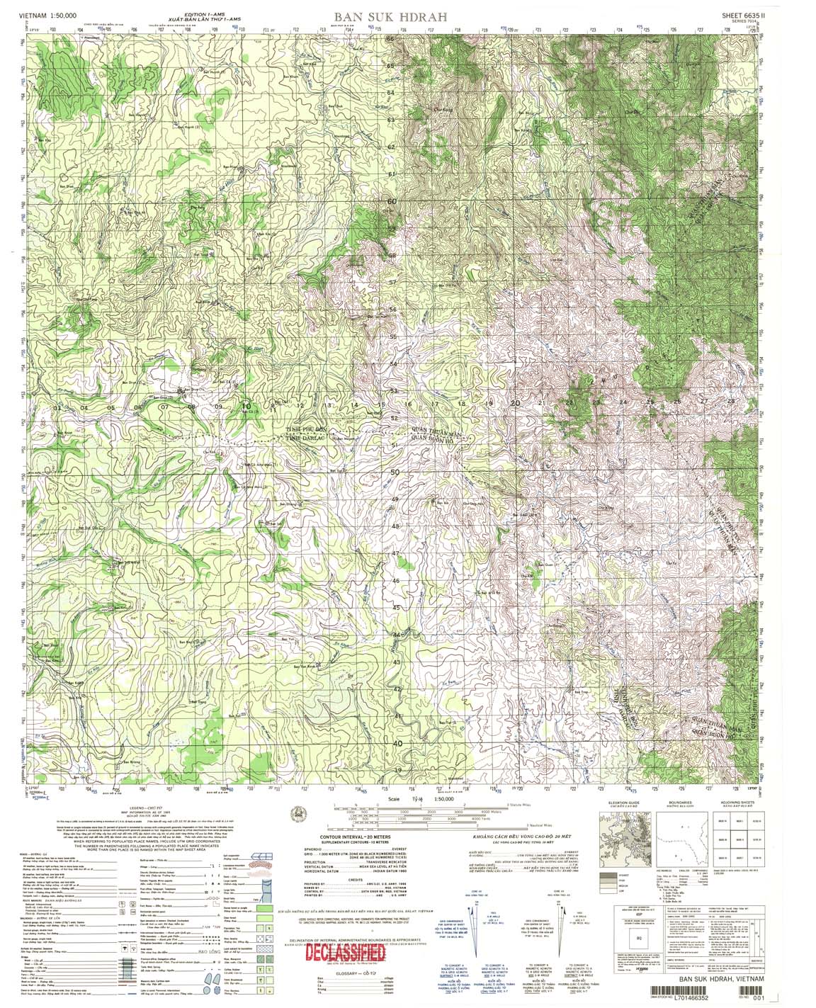
| Ban Suk Hdrah | 6635_2 | 1965 | 20 | US Army | 6635_2.jpg | 6635_2.tif | 6635_2.zip |
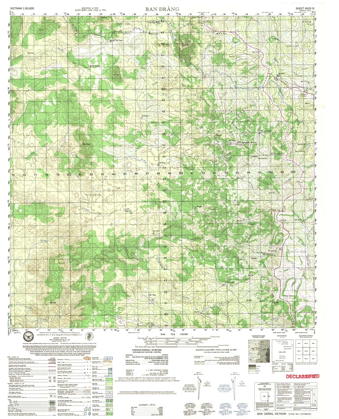
| Ban Drang | 6635_3 | 1970 | 20 | US Army | 6635_3.jpg | 6635_3.tif | 6635_3.zip |
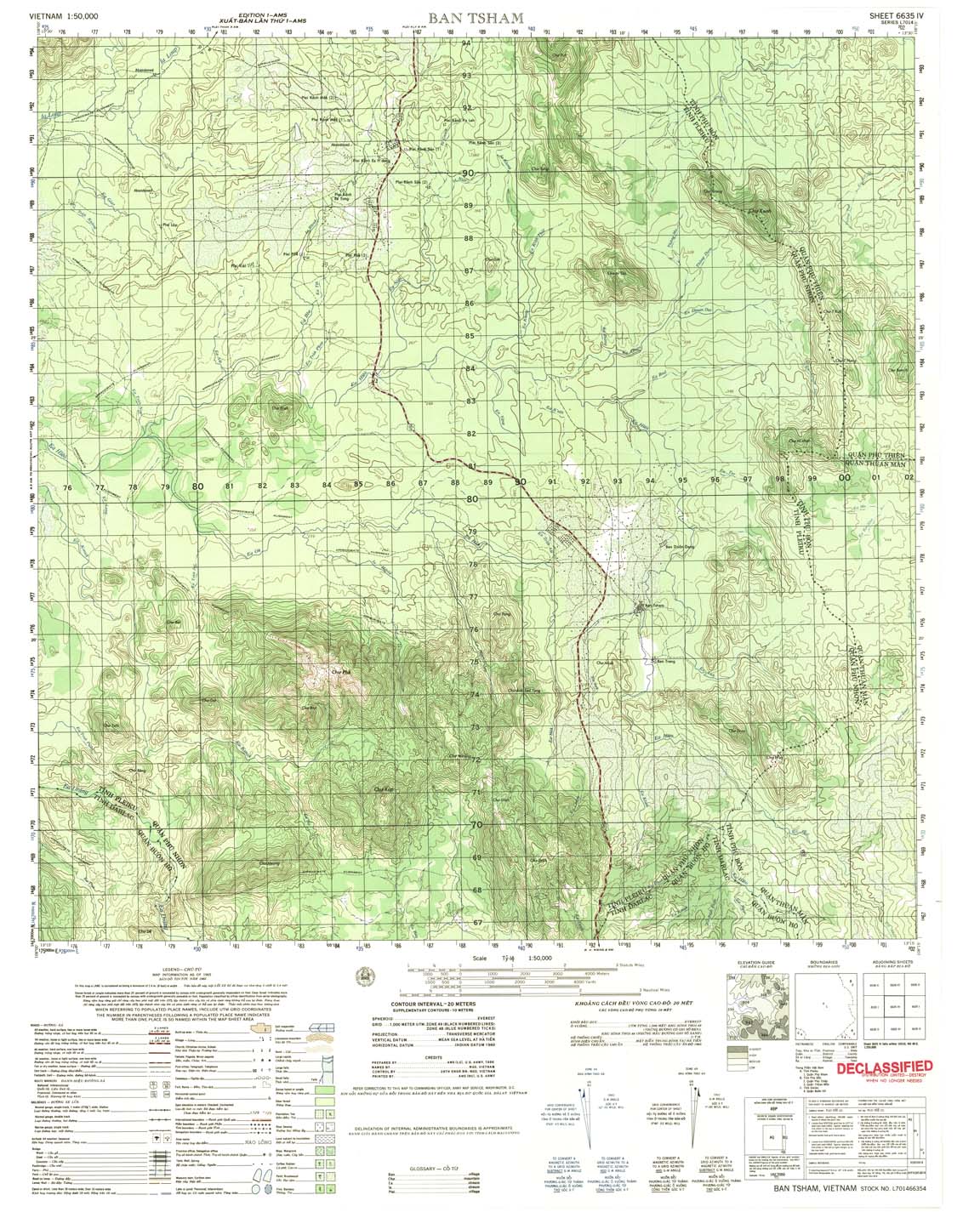
| Ban Tsham | 6635_4 | 1965 | 20 | US Army | 6635_4.jpg | 6635_4.tif | 6635_4.zip |
| Chu Rpan | 6636_1 | 1970 | 20 | NIMA | 6636_1.jpg | 6636_1.tif | 6636_1.zip |
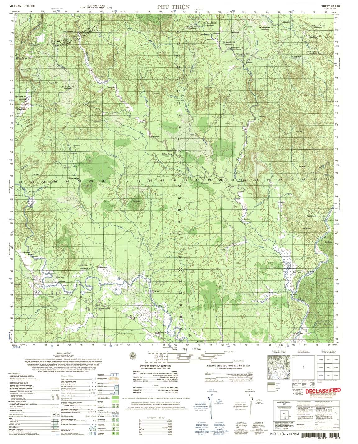
| Phu Thien | 6636_2 | 1965 | 20 | US Army | 6636_2.jpg | 6636_2.tif | 6636_2.zip |
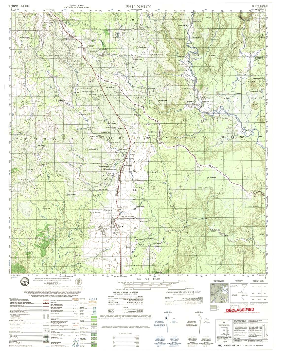
| Phu Nhon | 6636_3 | 1971 | 20 | US Army | 6636_3.jpg | 6636_3.tif | 6636_3.zip |
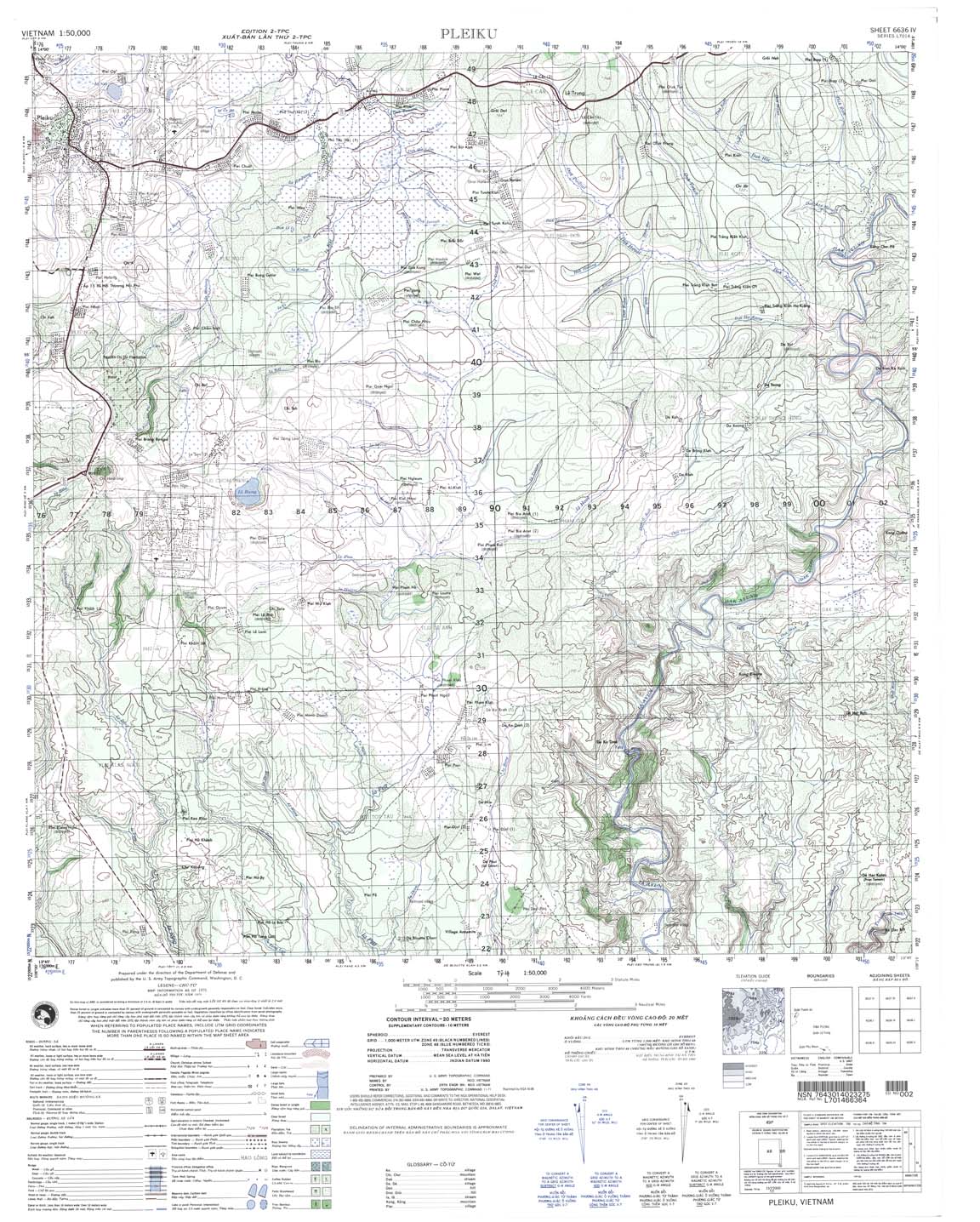
| Pleiku | 6636_4 | 1970 | 20 | US Army | 6636_4.jpg | 6636_4.tif | 6636_4.zip |
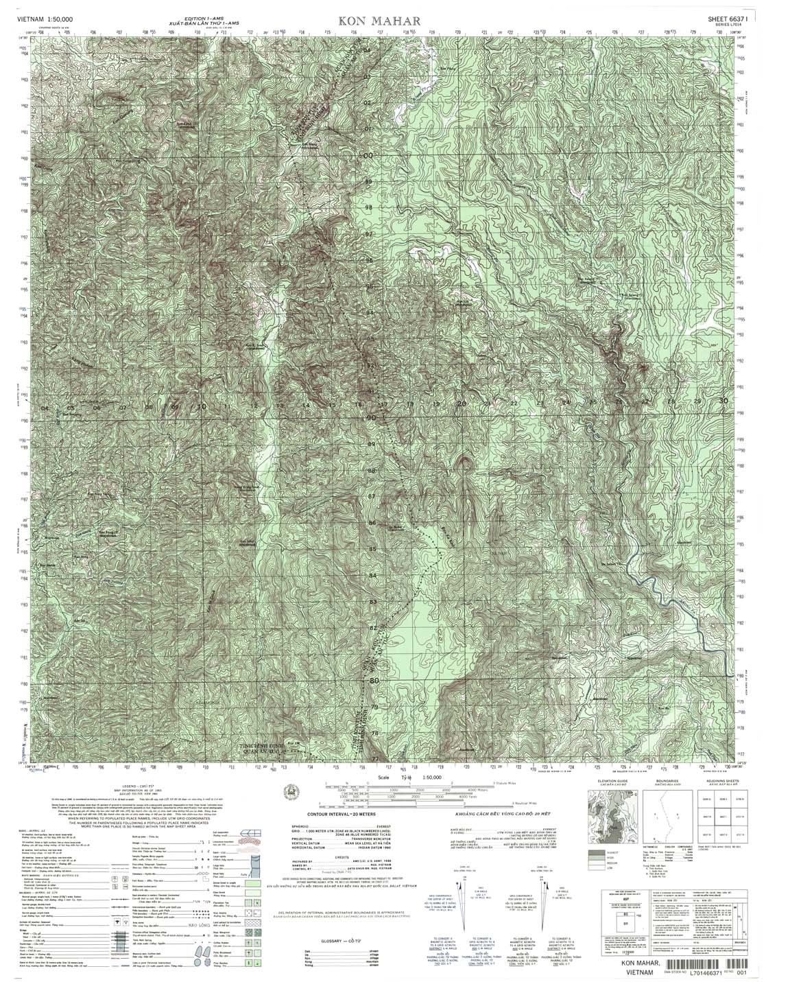
| Kon Mahar | 6637_1 | 1965 | 20 | DMA | 6637_1.jpg | 6637_1.tif | 6637_1.zip |
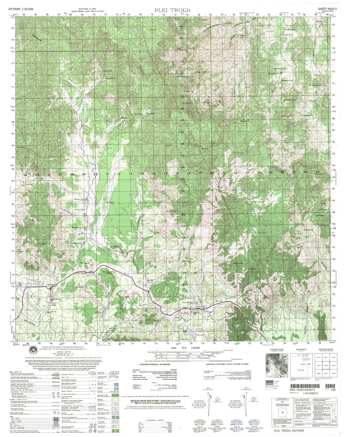
| Plei Troeh | 6637_2 | 1970 | 20 | NIMA | 6637_2.jpg | 6637_2.tif | 6637_2.zip |
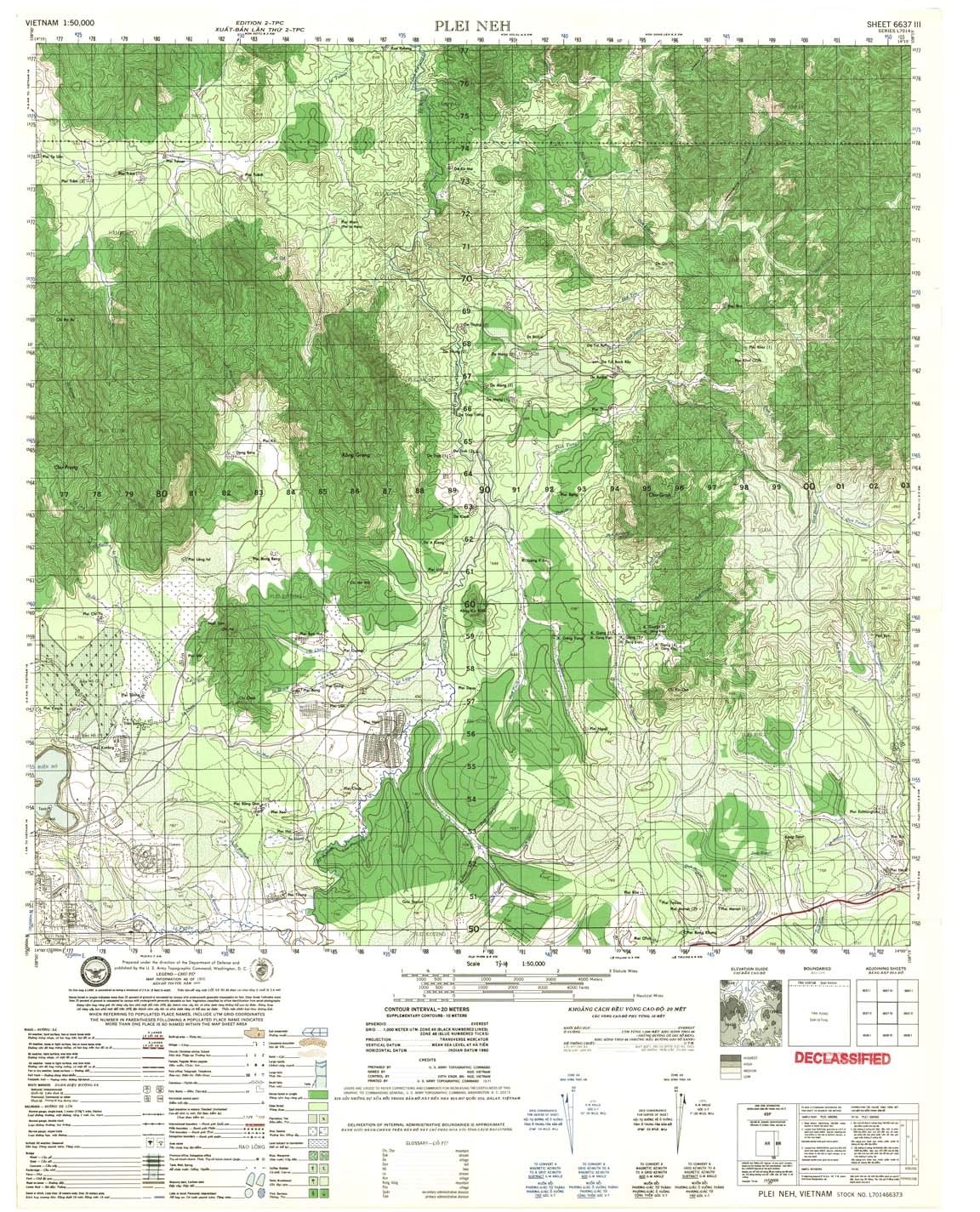
| Plei Neh | 6637_3 | 1971 | 20 | US Army | 6637_3.jpg | 6637_3.tif | 6637_3.zip |
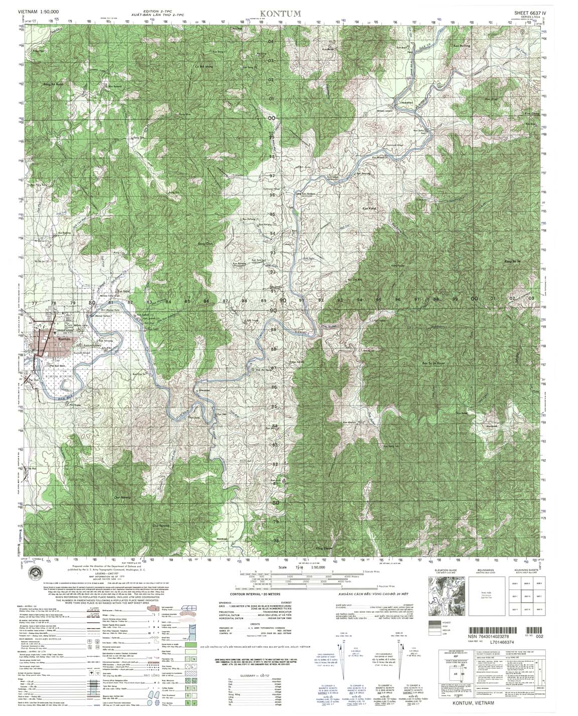
| Kontum | 6637_4 | 1970 | 20 | NIMA | 6637_4.jpg | 6637_4.tif | 6637_4.zip |
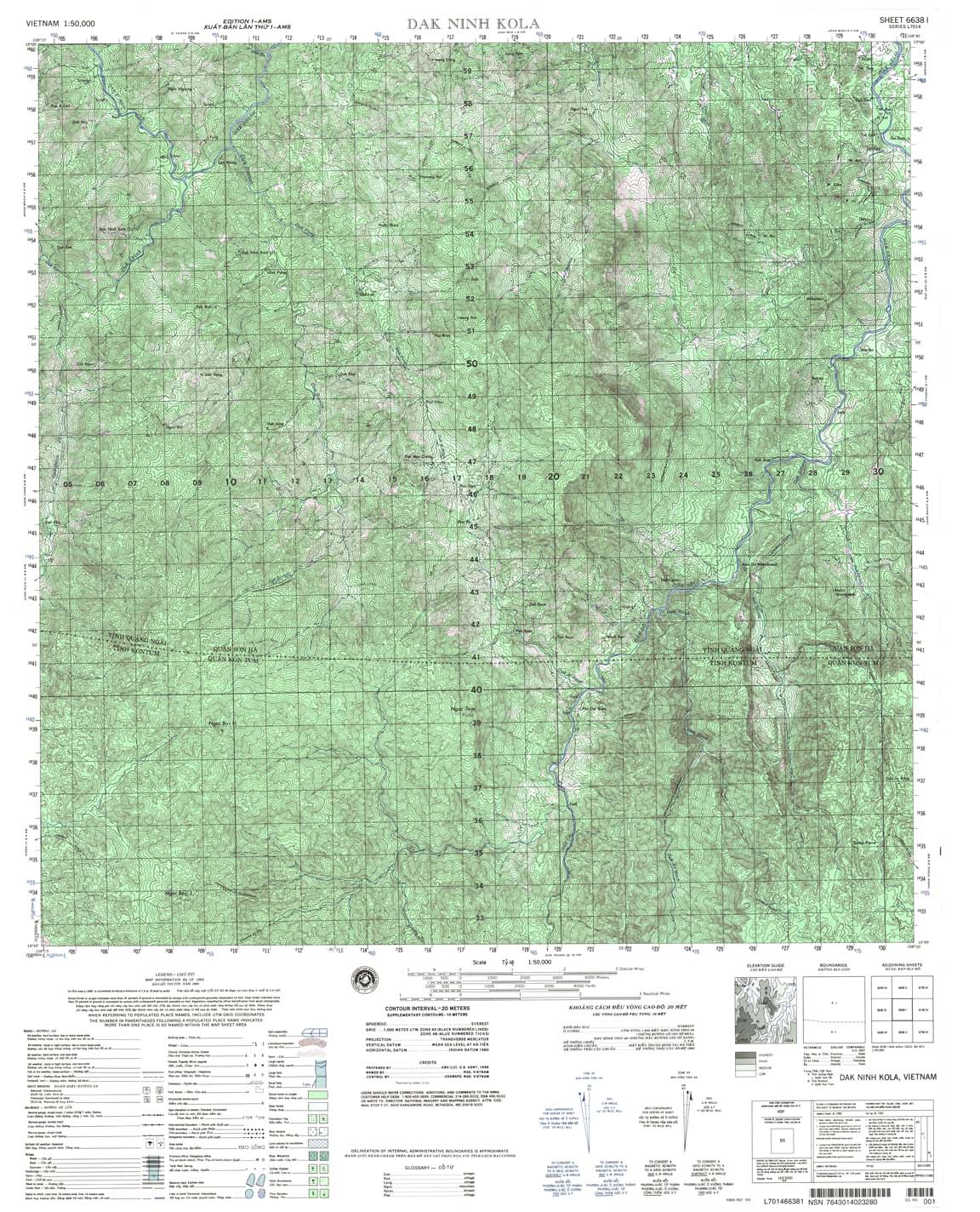
| Dak Ninh Kola | 6638_1 | 1965 | 20 | NIMA | 6638_1.jpg | 6638_1.tif | 6638_1.zip |
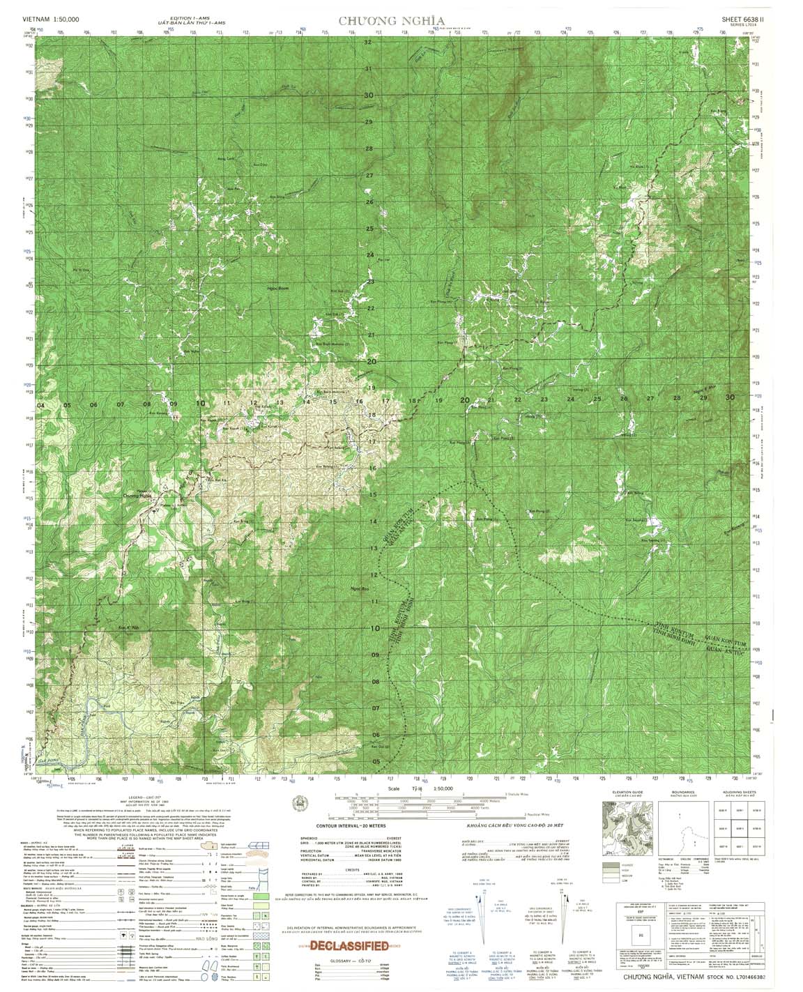
| Chuong Nghia | 6638_2 | 1965 | 20 | US Army | 6638_2.jpg | 6638_2.tif | 6638_2.zip |
| Kong Roman | 6638_3 | 1965 | 20 | US Army | 6638_3.jpg | 6638_3.tif | 6638_3.zip |
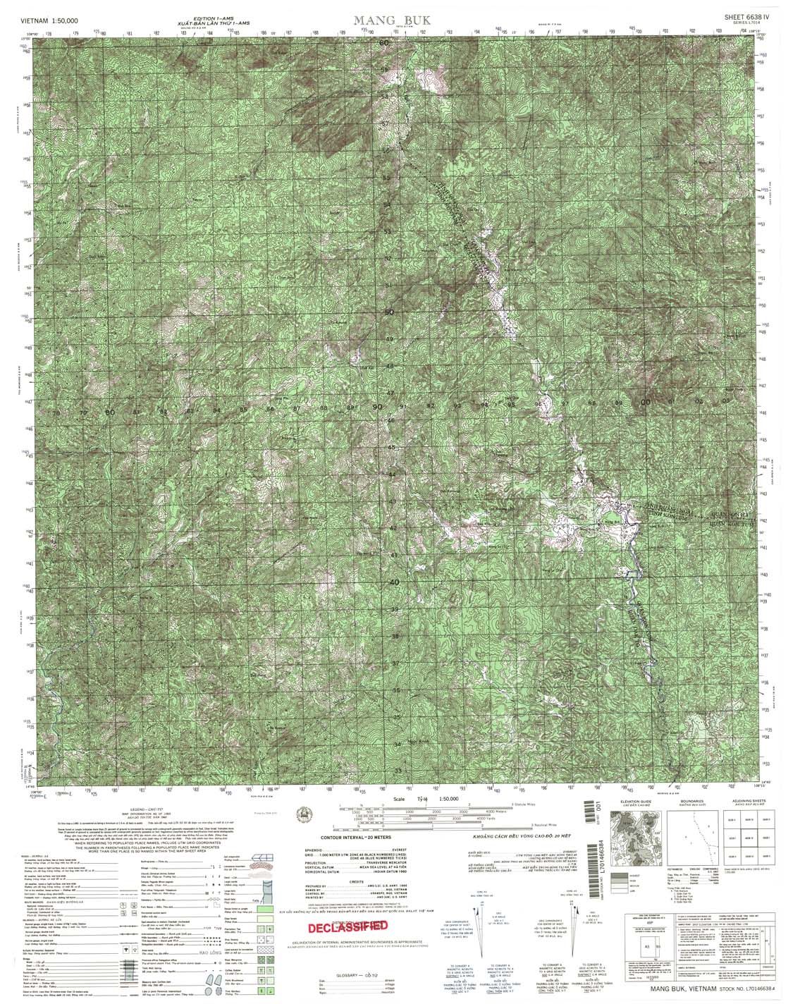
| Mang Buk | 6638_4 | 1965 | 20 | US Army | 6638_4.jpg | 6638_4.tif | 6638_4.zip |
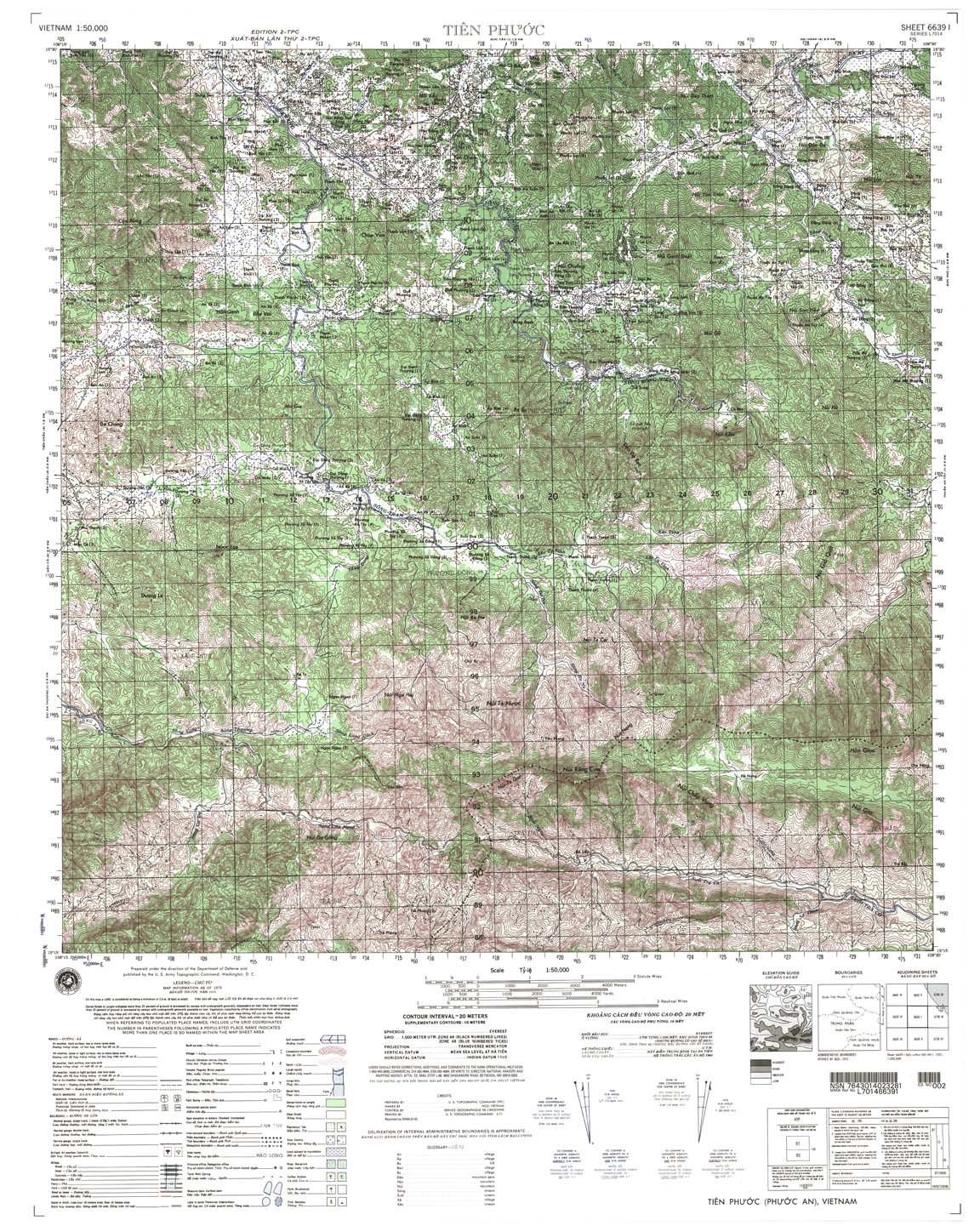
| Tien Phuoc | 6639_1 | 2002 | 20 | NIMA | 6639_1.jpg | 6639_1.tif | 6639_1.zip |
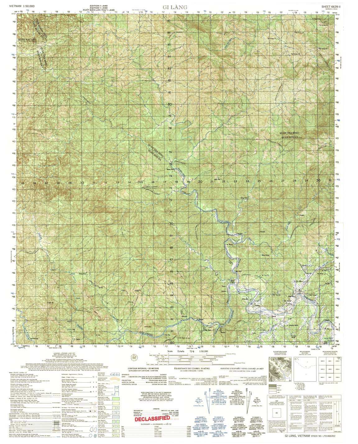
| Gi Lang | 6639_2 | 1965 | 20 | US Army | 6639_2.jpg | 6639_2.tif | 6639_2.zip |
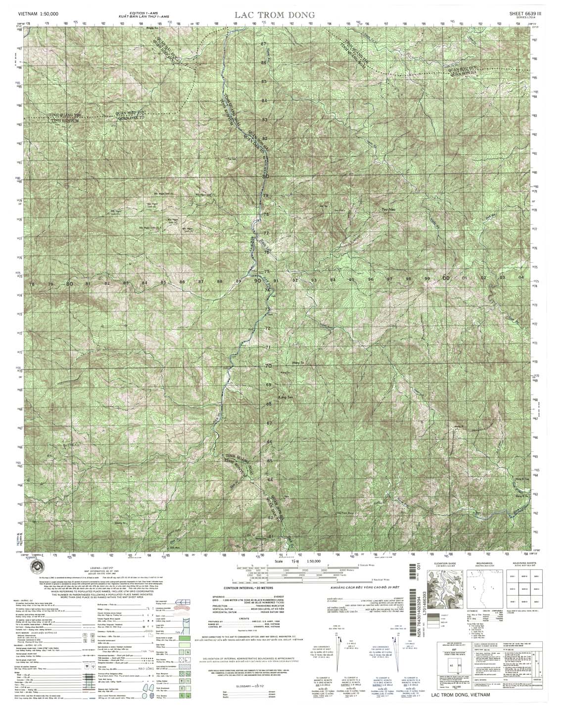
| Lac Trom Dong | 6639_3 | 1999 | 20 | NIMA | 6639_3.jpg | 6639_3.tif | 6639_3.zip |
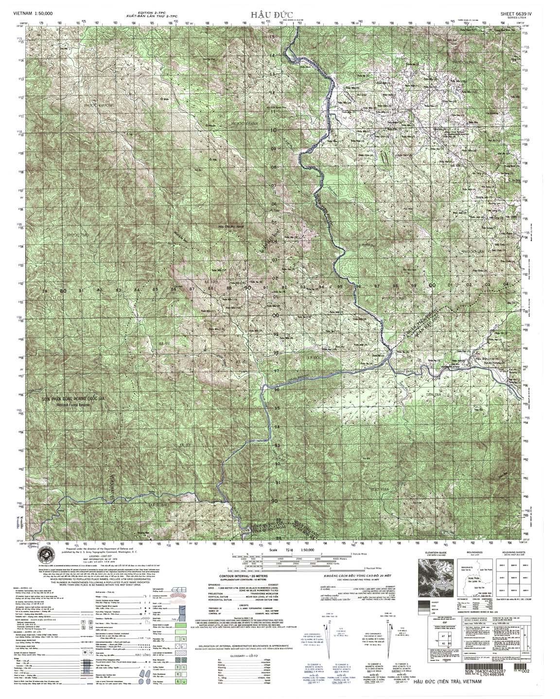
| Hau Dac | 6639_4 | 2000 | 20 | NIMA | 6639_4.jpg | 6639_4.tif | 6639_4.zip |
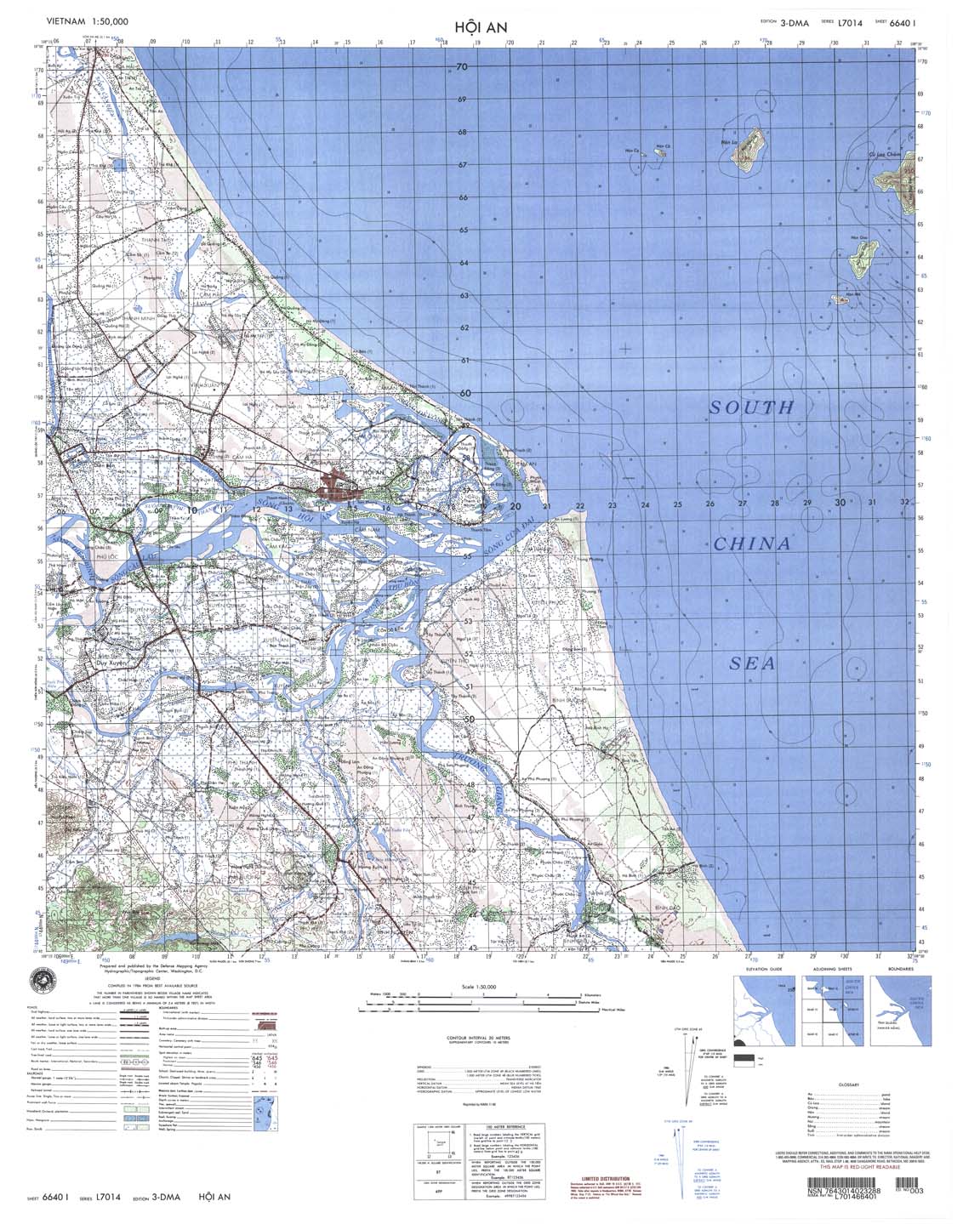
| Hoi An | 6640_1 | 2000 | 20 | NIMA | 6640_1.jpg | 6640_1.tif | 6640_1.zip |
| Tam Ky | 6640_2 | 2002 | 20 | NIMA | 6640_2.jpg | 6640_2.tif | 6640_2.zip |
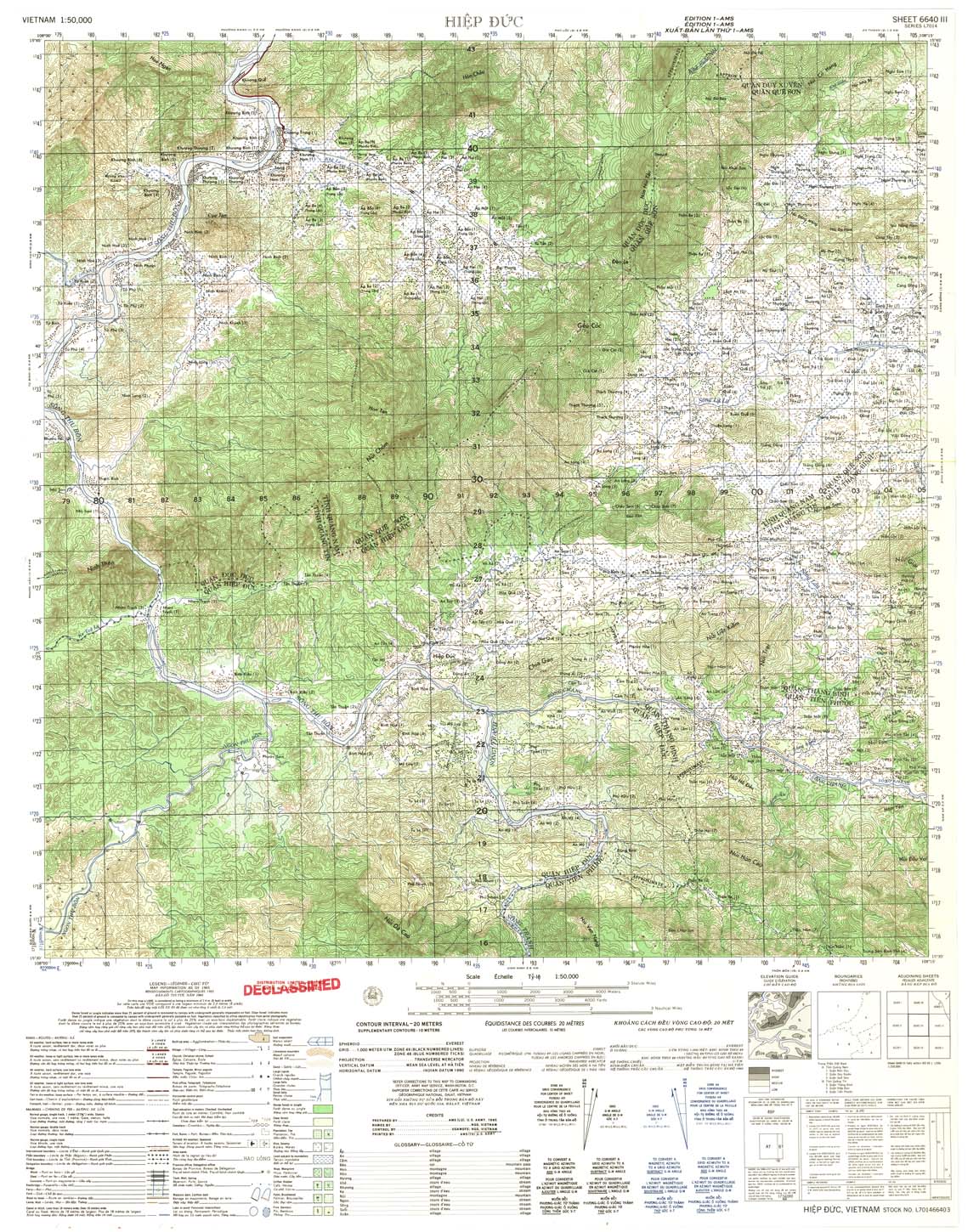
| Hiep Duc | 6640_3 | 1965 | 20 | US Army | 6640_3.jpg | 6640_3.tif | 6640_3.zip |
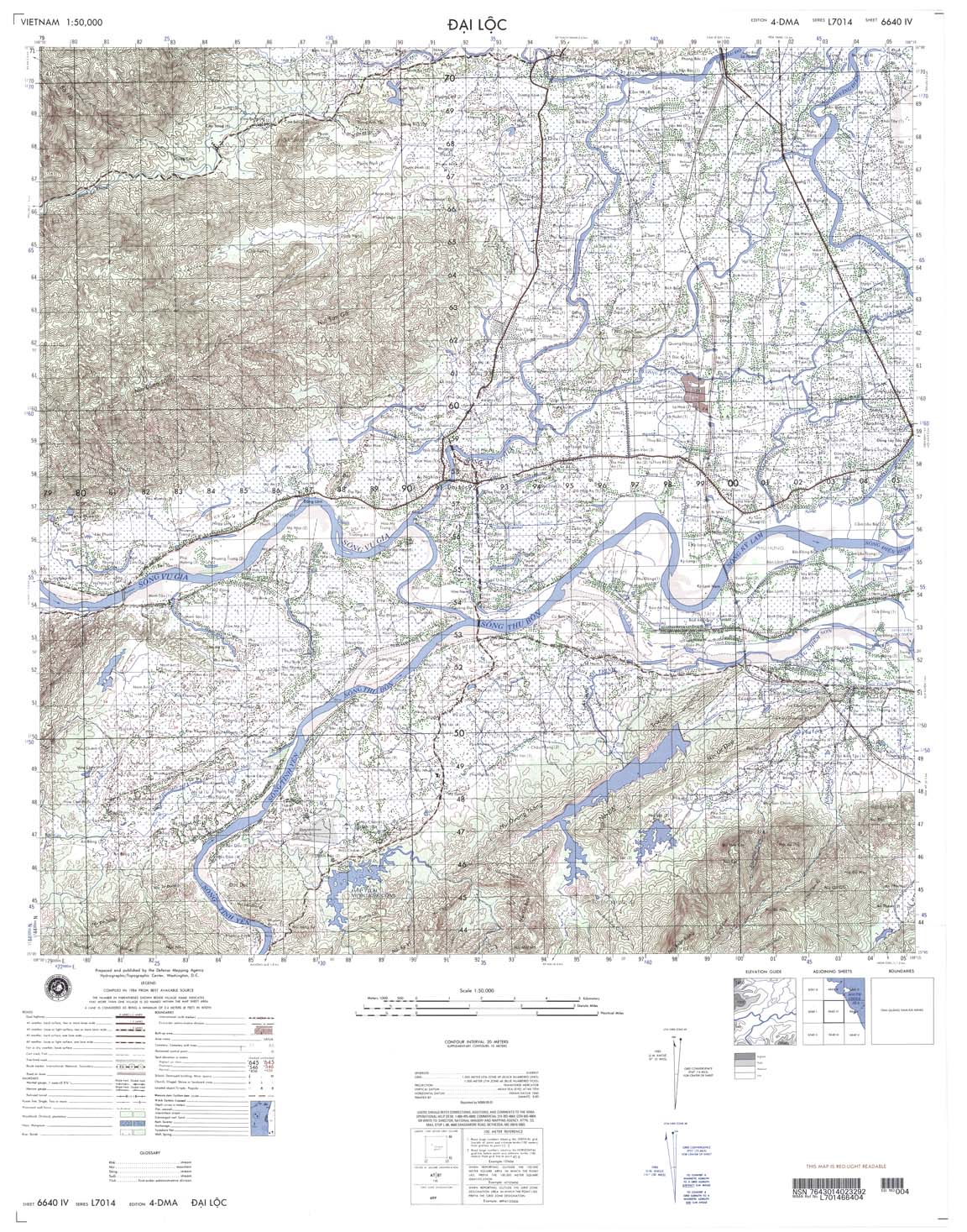
| Dai Loc | 6640_4 | 2001 | 20 | NIMA | 6640_4.jpg | 6640_4.tif | 6640_4.zip |
| Khu Pho Nam Tho | 6641_2 | 1999 | 20 | NIMA | 6641_2.jpg | 6641_2.tif | 6641_2.zip |
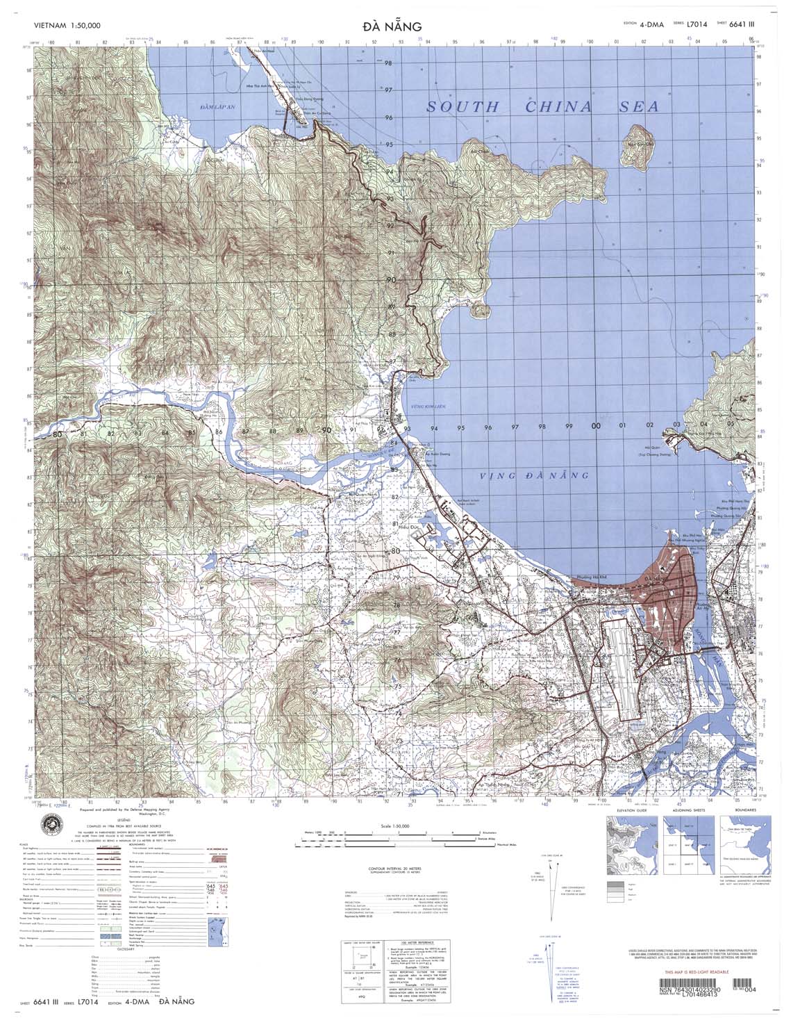
| Da Nang | 6641_3 | 2003 | 20 | NIMA | 6641_3.jpg | 6641_3.tif | 6641_3.zip |
| Thon Trung Kien | 6641_4 | 1999 | 20 | NIMA | 6641_4.jpg | 6641_4.tif | 6641_4.zip |
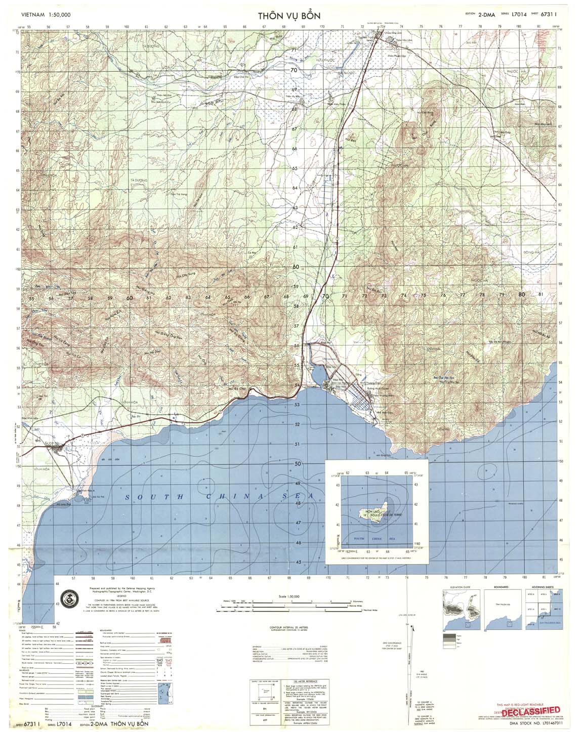
| Thon Vu Bo | 6731_1 | 1985 | 20 | DMA | 6731_1.jpg | 6731_1.tif | 6731_1.zip |
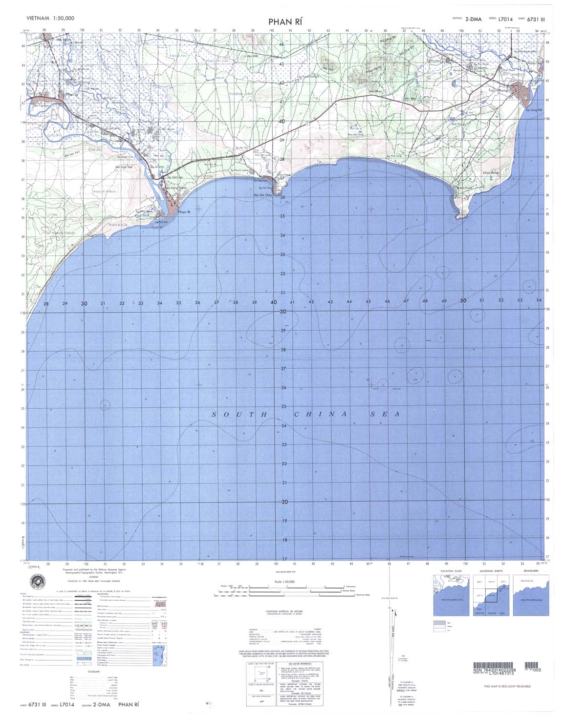
| Phan Ri | 6731_3 | 1985 | 20 | DMA | 6731_3.jpg | 6731_3.tif | 6731_3.zip |
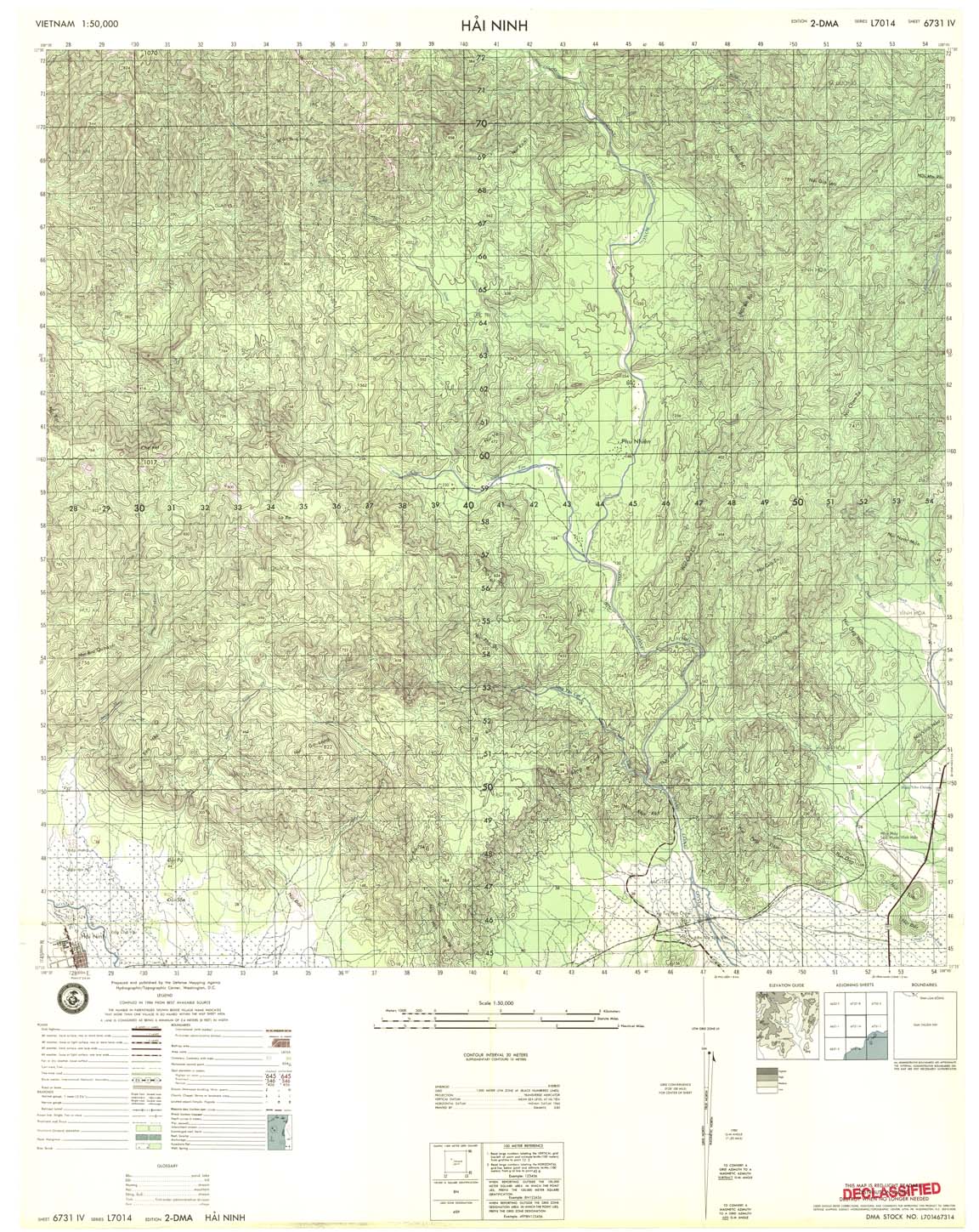
| Hai Ninh | 6731_4 | 1985 | 20 | DMA | 6731_4.jpg | 6731_4.tif | 6731_4.zip |
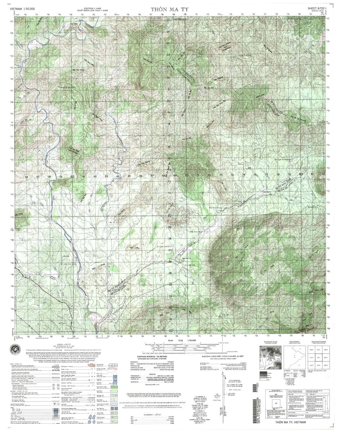
| Thon Ma Ty | 6732_1 | 2001 | 20 | NIMA | 6732_1.jpg | 6732_1.tif | 6732_1.zip |
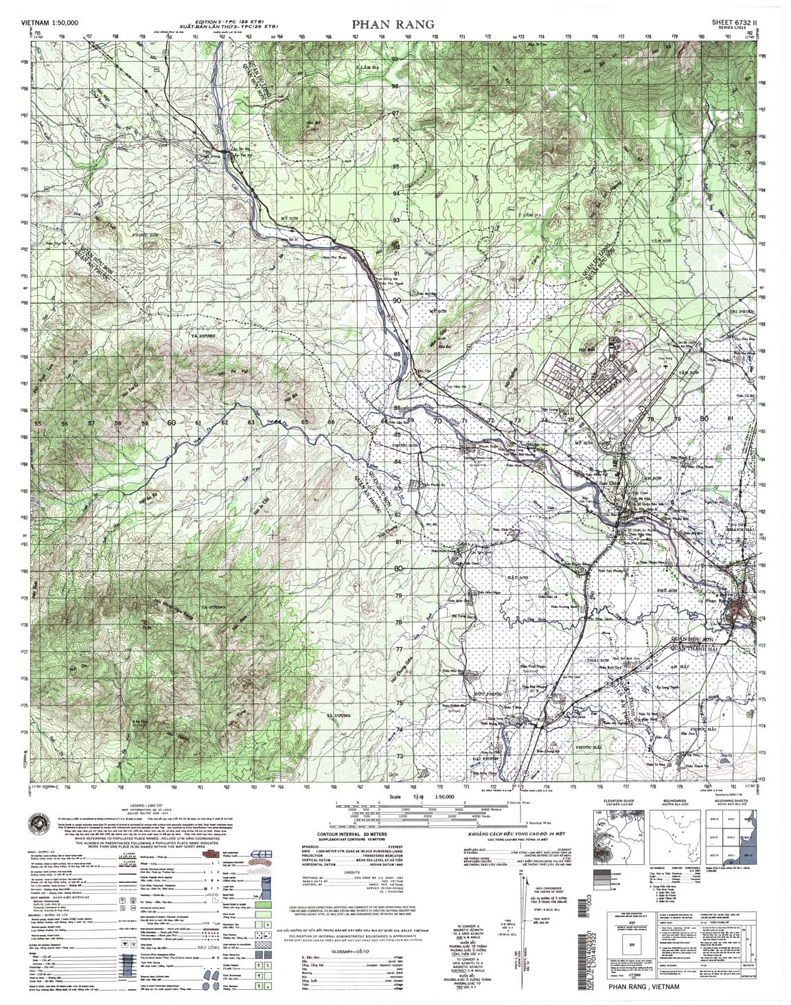
| Phan Rang | 6732_2 | 1968 | 20 | US Army | 6732_2.jpg | 6732_2.tif | 6732_2.zip |
| Ma Noi | 6732_3 | 1965 | 20 | US Army | 6732_3.jpg | 6732_3.tif | 6732_3.zip |
| Don Duong | 6732_4 | 1989 | 20 | NIMA | 6732_4.jpg | 6732_4.tif | 6732_4.zip |
| Buon Thach Trai | 6733_1 | 1999 | 20 | NIMA | 6733_1.jpg | 6733_1.tif | 6733_1.zip |
| E Lam Thuong | 6733_2 | 2000 | 20 | NIMA | 6733_2.jpg | 6733_2.tif | 6733_2.zip |
| B Du Damour | 6733_3 | 1965 | 20 | US Army | 6733_3.jpg | 6733_3.tif | 6733_3.zip |
| Lak Ea Gam | 6733_4 | 1965 | 20 | US Army | 6733_4.jpg | 6733_4.tif | 6733_4.zip |
| Phu Duc | 6734_1 | 2000 | 20 | NIMA | 6734_1.jpg | 6734_1.tif | 6734_1.zip |
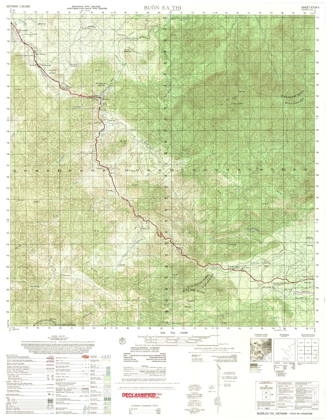
| Buon Ea Thi | 6734_2 | 1970 | 20 | US Army | 6734_2.jpg | 6734_2.tif | 6734_2.zip |
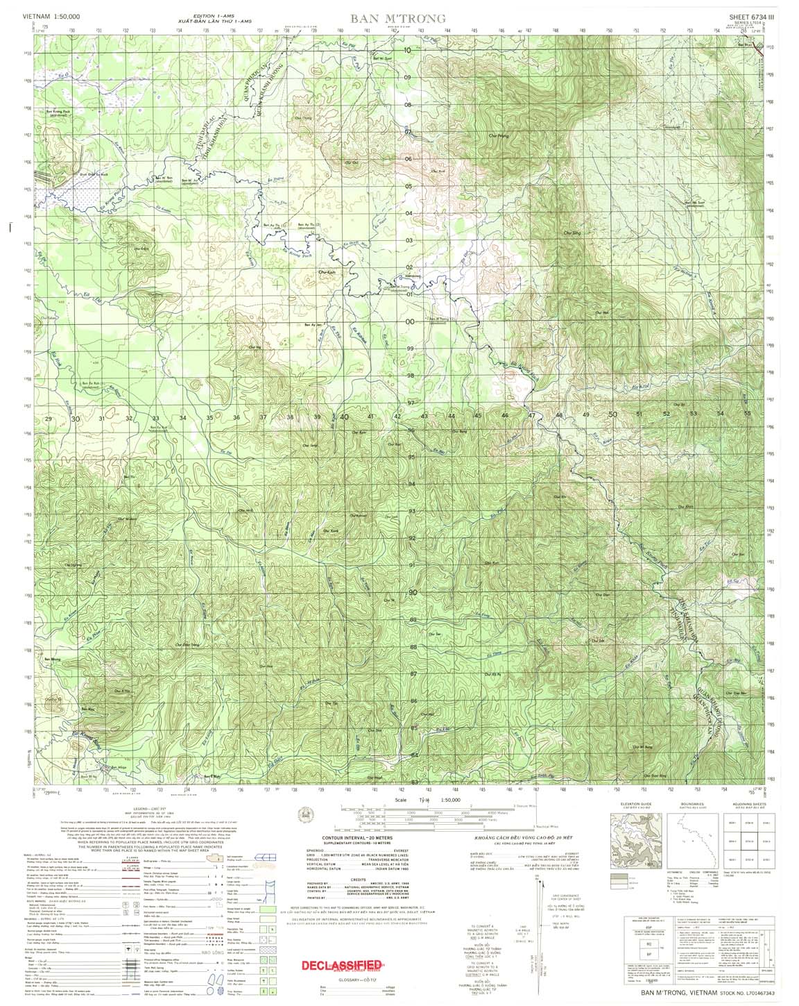
| Ban M'trong | 6734_3 | 1964 | 20 | US Army | 6734_3.jpg | 6734_3.tif | 6734_3.zip |
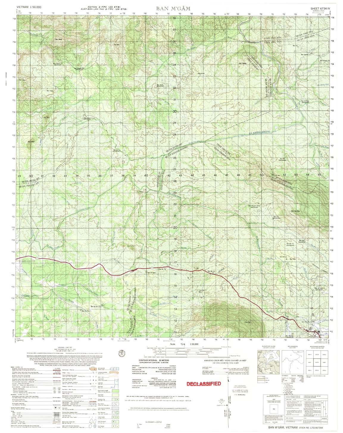
| Ban M'gam | 6734_4 | 1970 | 20 | US Army | 6734_4.jpg | 6734_4.tif | 6734_4.zip |
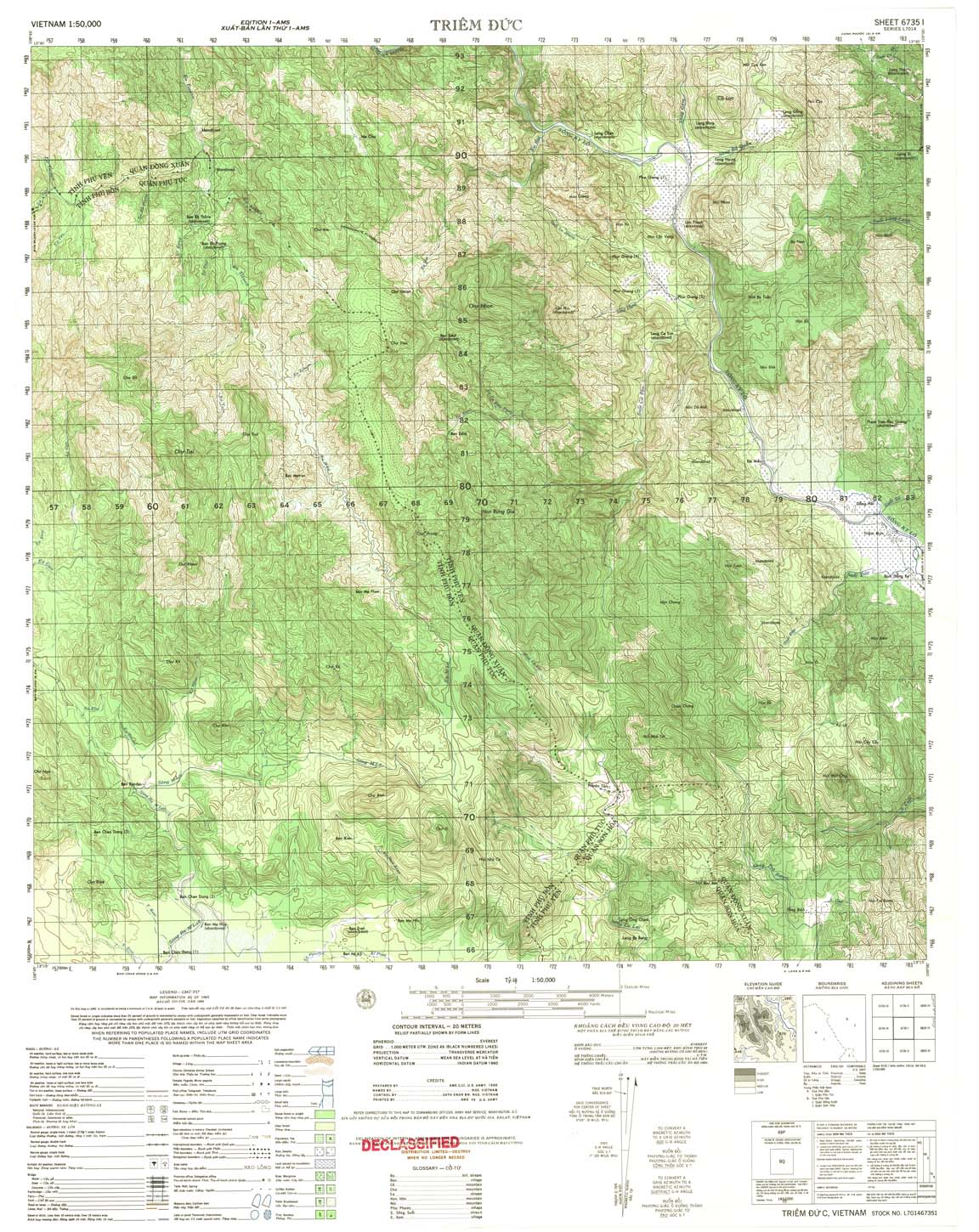
| Triem Duc | 6735_1 | 1965 | 20 | US Army | 6735_1.jpg | 6735_1.tif | 6735_1.zip |
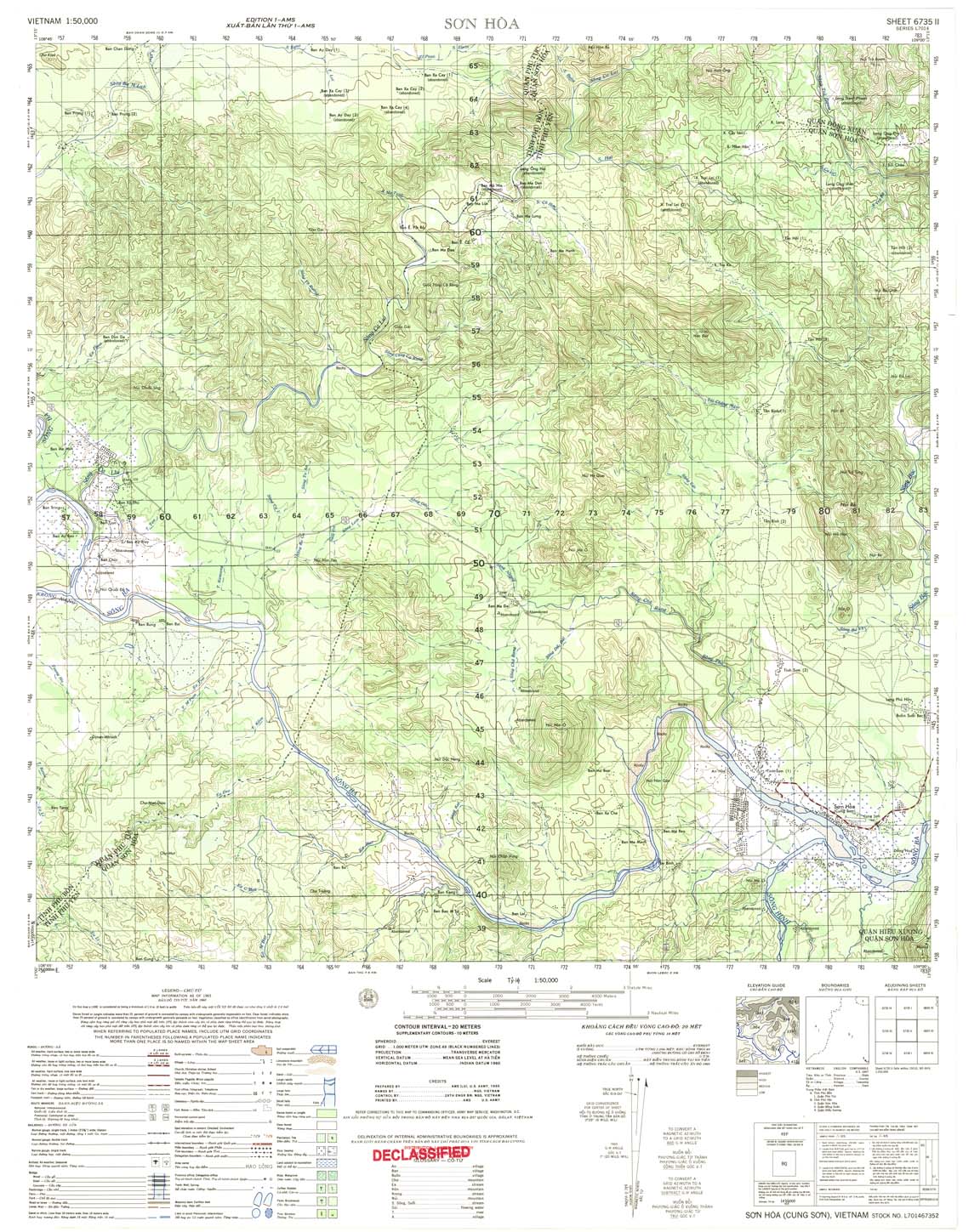
| Son Hoa | 6735_2 | 1965 | 20 | US Army | 6735_2.jpg | 6735_2.tif | 6735_2.zip |
| Phu Tuc | 6735_3 | 1965 | 20 | US Army | 6735_3.jpg | 6735_3.tif | 6735_3.zip |
| Buon Thoat | 6735_4 | 1965 | 20 | US Army | 6735_4.jpg | 6735_4.tif | 6735_4.zip |
| Bink Khe | 6736_1 | 1969 | 20 | US Army | 6736_1.jpg | 6736_1.tif | 6736_1.zip |
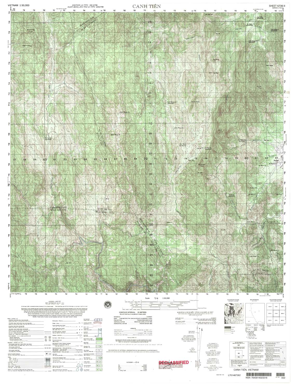
| Canh Tien | 6736_2 | 2000 | 20 | NIMA | 6736_2.jpg | 6736_2.tif | 6736_2.zip |
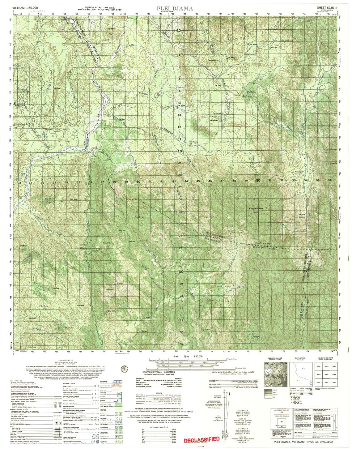
| Plei Djama | 6736_3 | 1971 | 20 | US Army | 6736_3.jpg | 6736_3.tif | 6736_3.zip |
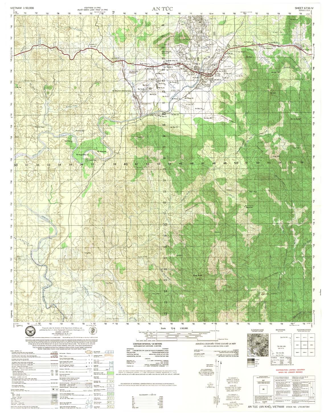
| An Tuc | 6736_4 | 1971 | 20 | US Army | 6736_4.jpg | 6736_4.tif | 6736_4.zip |
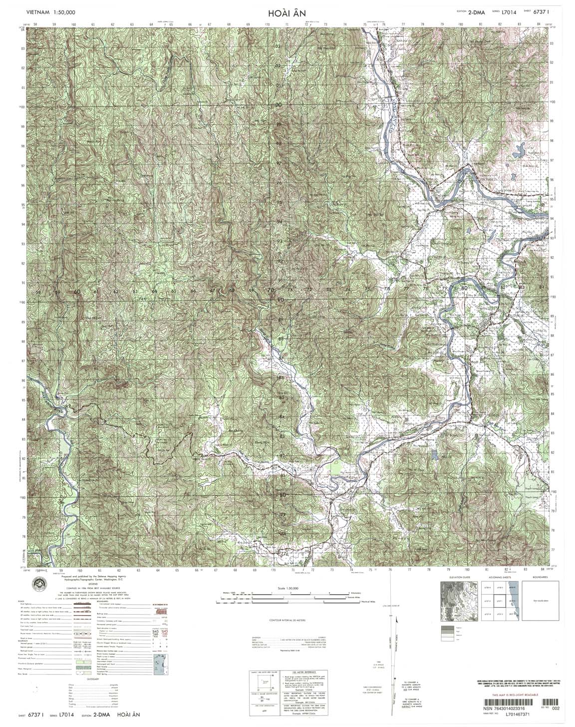
| Hoai An | 6737_1 | 1999 | 20 | NIMA | 6737_1.jpg | 6737_1.tif | 6737_1.zip |
| Tien Thuan | 6737_2 | 1999 | 20 | NIMA | 6737_2.jpg | 6737_2.tif | 6737_2.zip |
| Kan Nak | 6737_3 | 2000 | 20 | NIMA | 6737_3.jpg | 6737_3.tif | 6737_3.zip |
| Kon Giong | 6737_4 | 1965 | 20 | US Army | 6737_4.jpg | 6737_4.tif | 6737_4.zip |
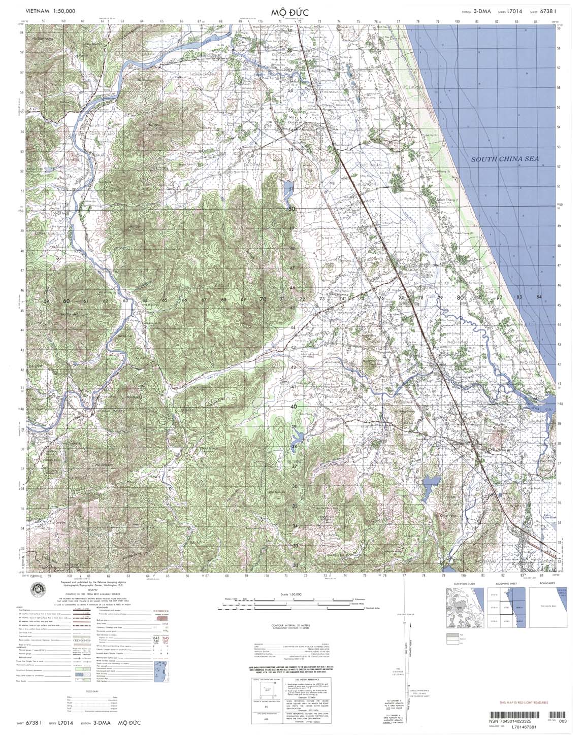
| Mo Duc | 6738_1 | 1999 | 20 | NIMA | 6738_1.jpg | 6738_1.tif | 6738_1.zip |
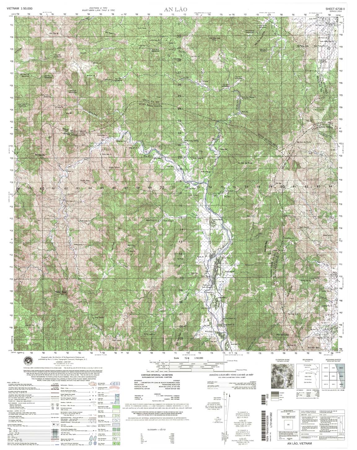
| An Lao | 6738_2 | 1999 | 20 | NIMA | 6738_2.jpg | 6738_2.tif | 6738_2.zip |
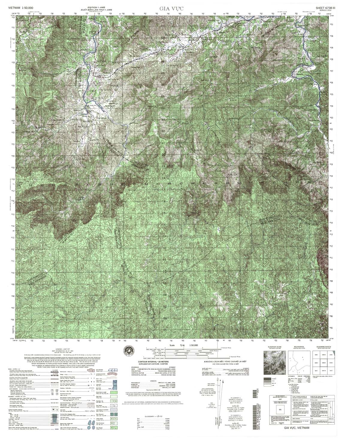
| Gia Vuc | 6738_3 | 1965 | 20 | US Army | 6738_3.jpg | 6738_3.tif | 6738_3.zip |
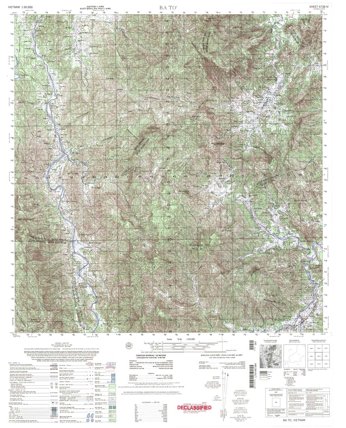
| Ba To | 6738_4 | 1965 | 20 | US Army | 6738_4.jpg | 6738_4.tif | 6738_4.zip |
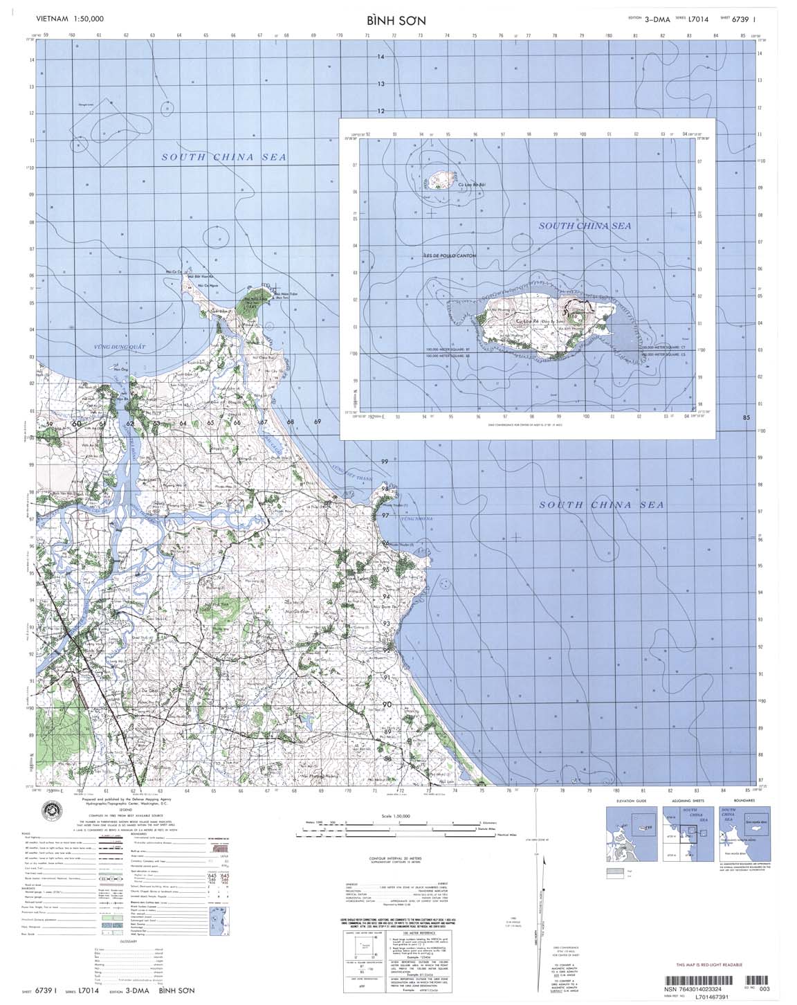
| Binh Son | 6739_1 | 1999 | 20 | NIMA | 6739_1.jpg | 6739_1.tif | 6739_1.zip |
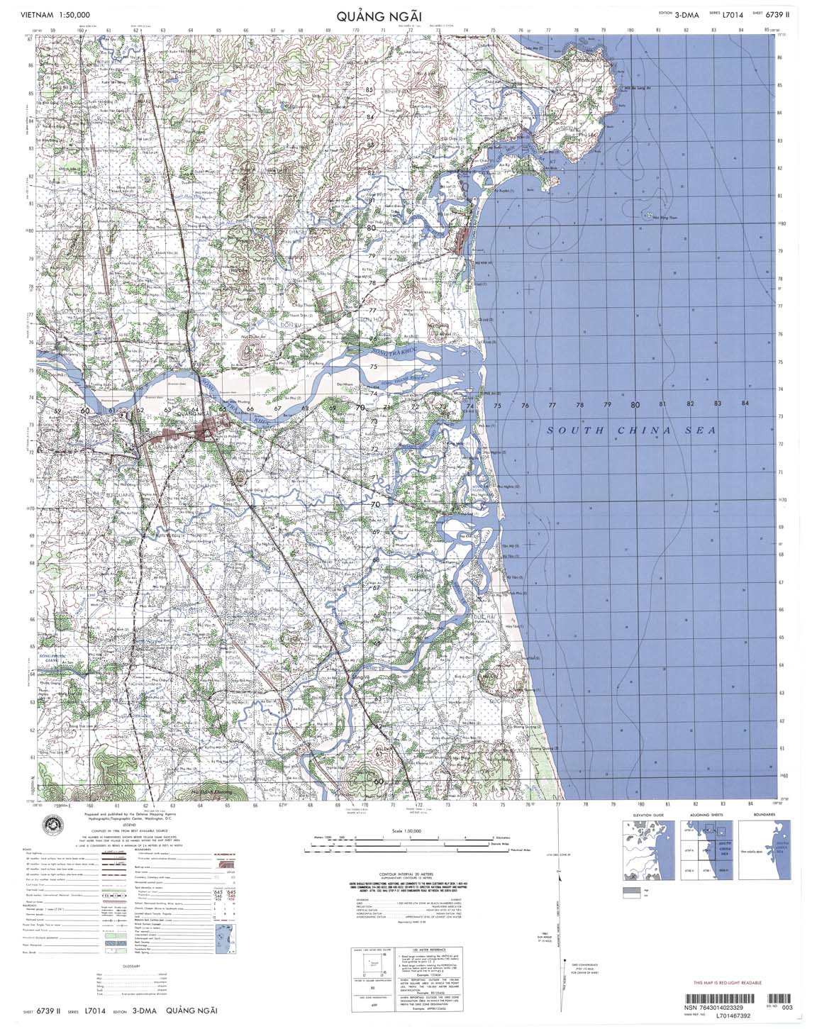
| Quang Ngai | 6739_2 | 1999 | 20 | NIMA | 6739_2.jpg | 6739_2.tif | 6739_2.zip |
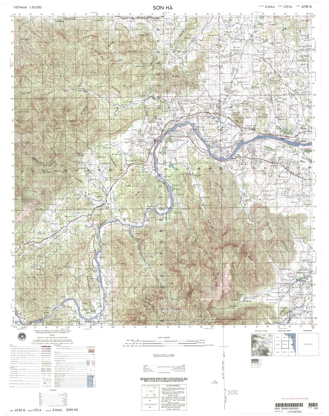
| Son Ha | 6739_3 | 1999 | 20 | NIMA | 6739_3.jpg | 6739_3.tif | 6739_3.zip |
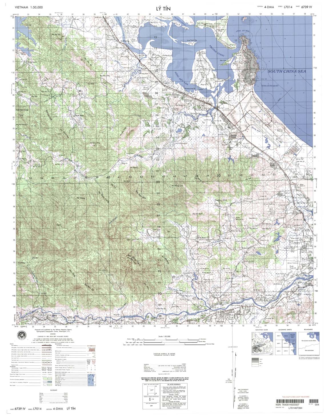
| Ly Tin | 6739_4 | 1999 | 20 | NIMA | 6739_4.jpg | 6739_4.tif | 6739_4.zip |
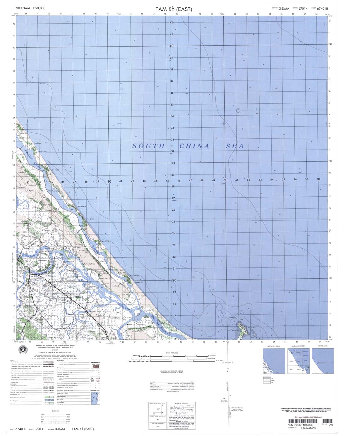
| Tam Ky | 6740_3 | 1999 | 20 | NIMA | 6740_3.jpg | 6740_3.tif | 6740_3.zip |
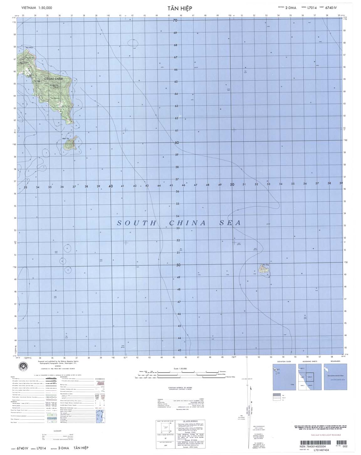
| Tan Hiep | 6740_4 | 1999 | 20 | NIMA | 6740_4.jpg | 6740_4.tif | 6740_4.zip |
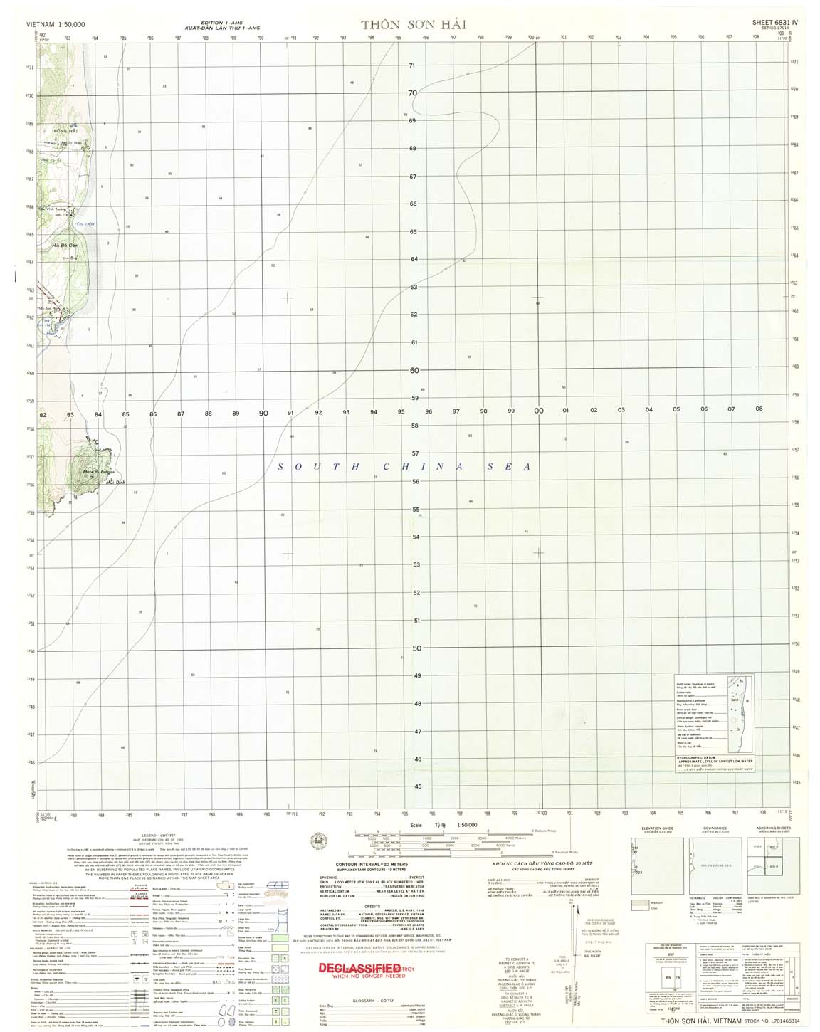
| Thon Son Hai | 6831_4 | 1965 | 20 | US Army | 6831_4.jpg | 6831_4.tif | 6831_4.zip |
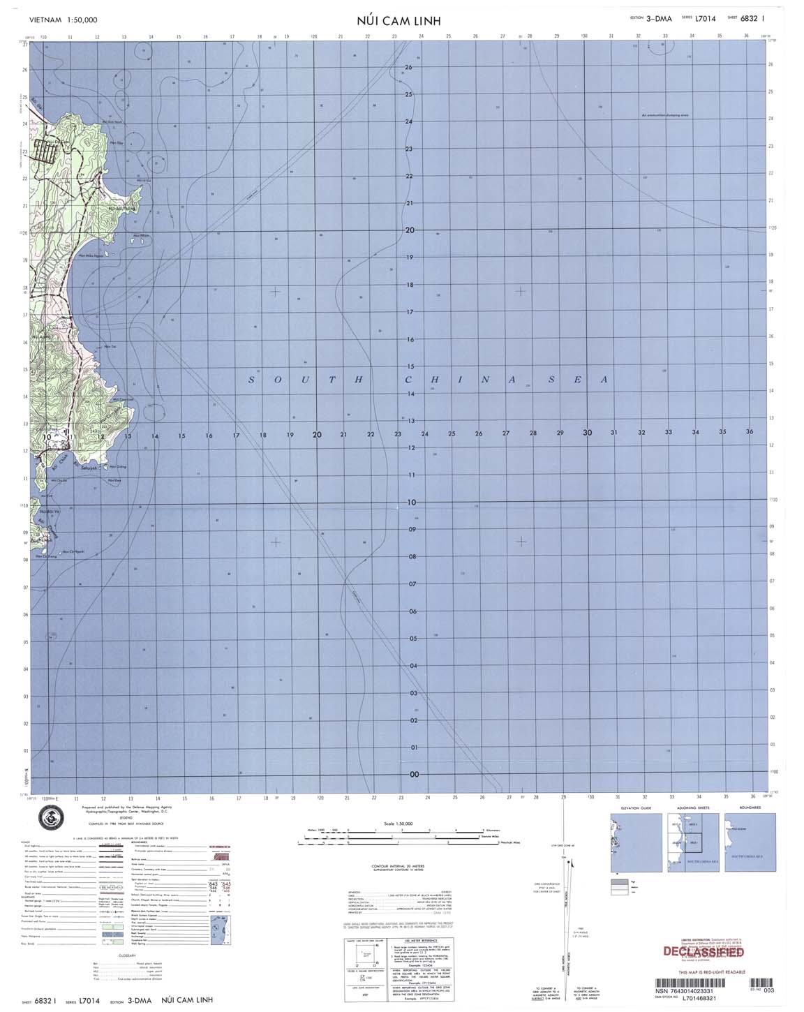
| Nui Cam Linh | 6832_1 | 1995 | 20 | DMA | 6832_1.jpg | 6832_1.tif | 6832_1.zip |
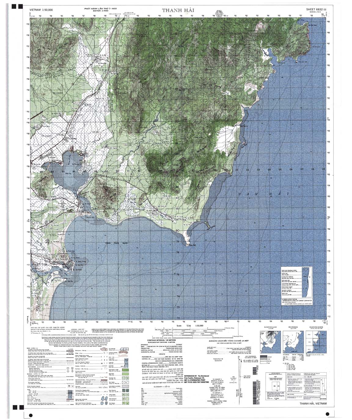
| Thanh Hai | 6832_3 | 1970 | 20 | US Army | 6832_3.jpg | 6832_3.tif | 6832_3.zip |
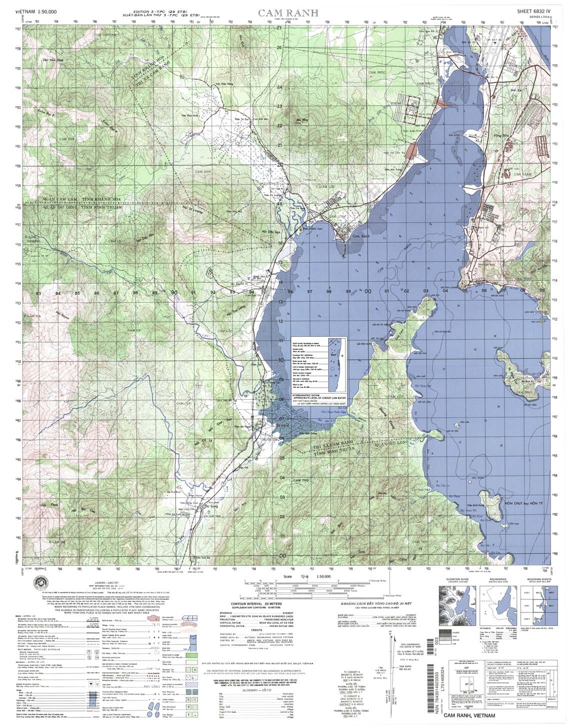
| Cam Ranh | 6832_4 | 1999 | 20 | NIMA | 6832_4.jpg | 6832_4.tif | 6832_4.zip |
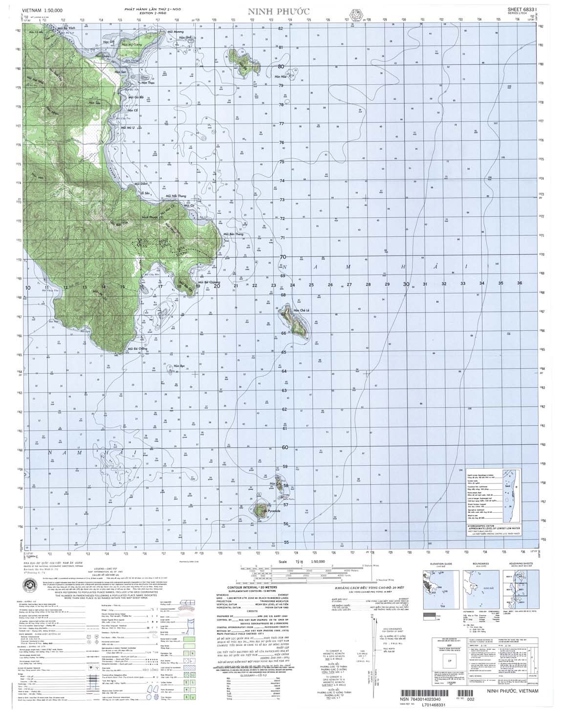
| Ninh Phuoc | 6833_1 | 1965 | 20 | NIMA | 6833_1.jpg | 6833_1.tif | 6833_1.zip |
| Hon Tre | 6833_2 | 1989 | 20 | DMA | 6833_2.jpg | 6833_2.tif | 6833_2.zip |
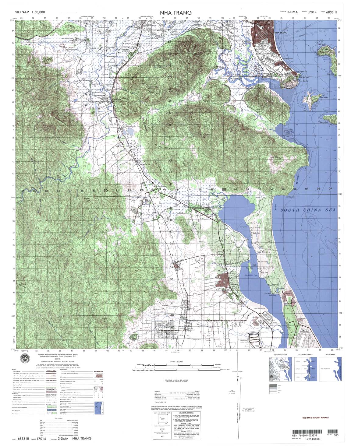
| Nha Trang | 6833_3 | 1999 | 20 | NIMA | 6833_3.jpg | 6833_3.tif | 6833_3.zip |
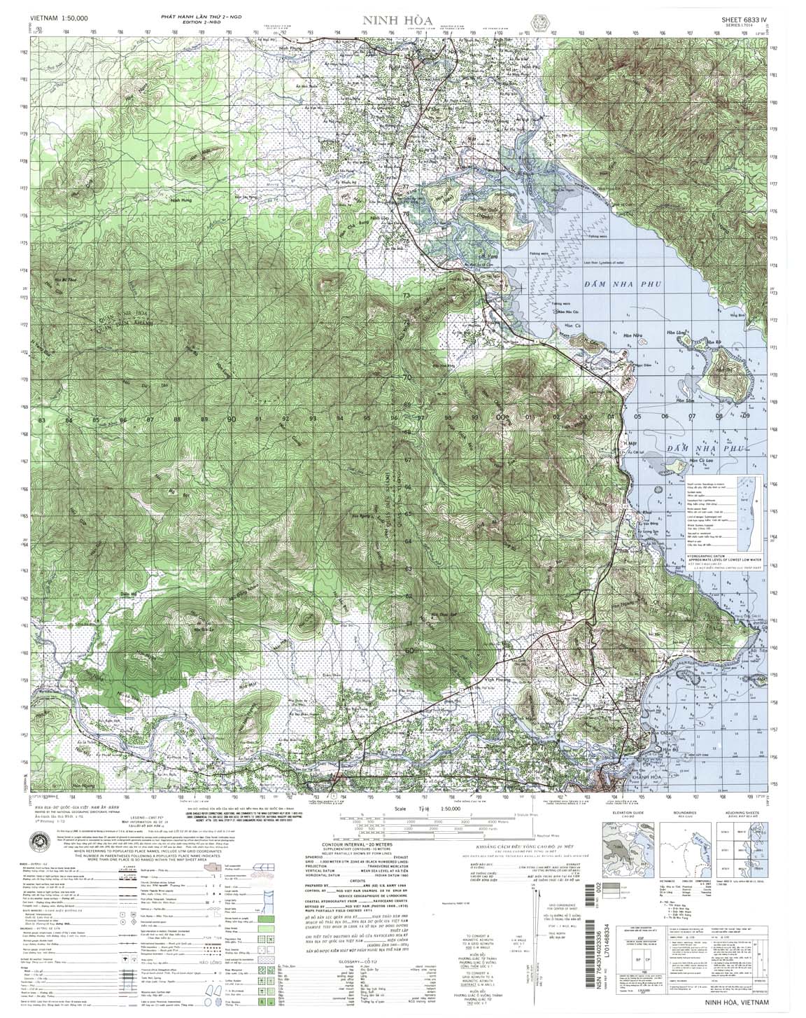
| Ninh Hoa | 6833_4 | 1972 | 20 | NIMA | 6833_4.jpg | 6833_4.tif | 6833_4.zip |
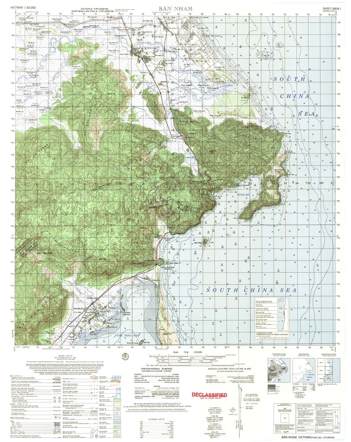
| Ban Nham | 6834_1 | 1969 | 20 | US Army | 6834_1.jpg | 6834_1.tif | 6834_1.zip |
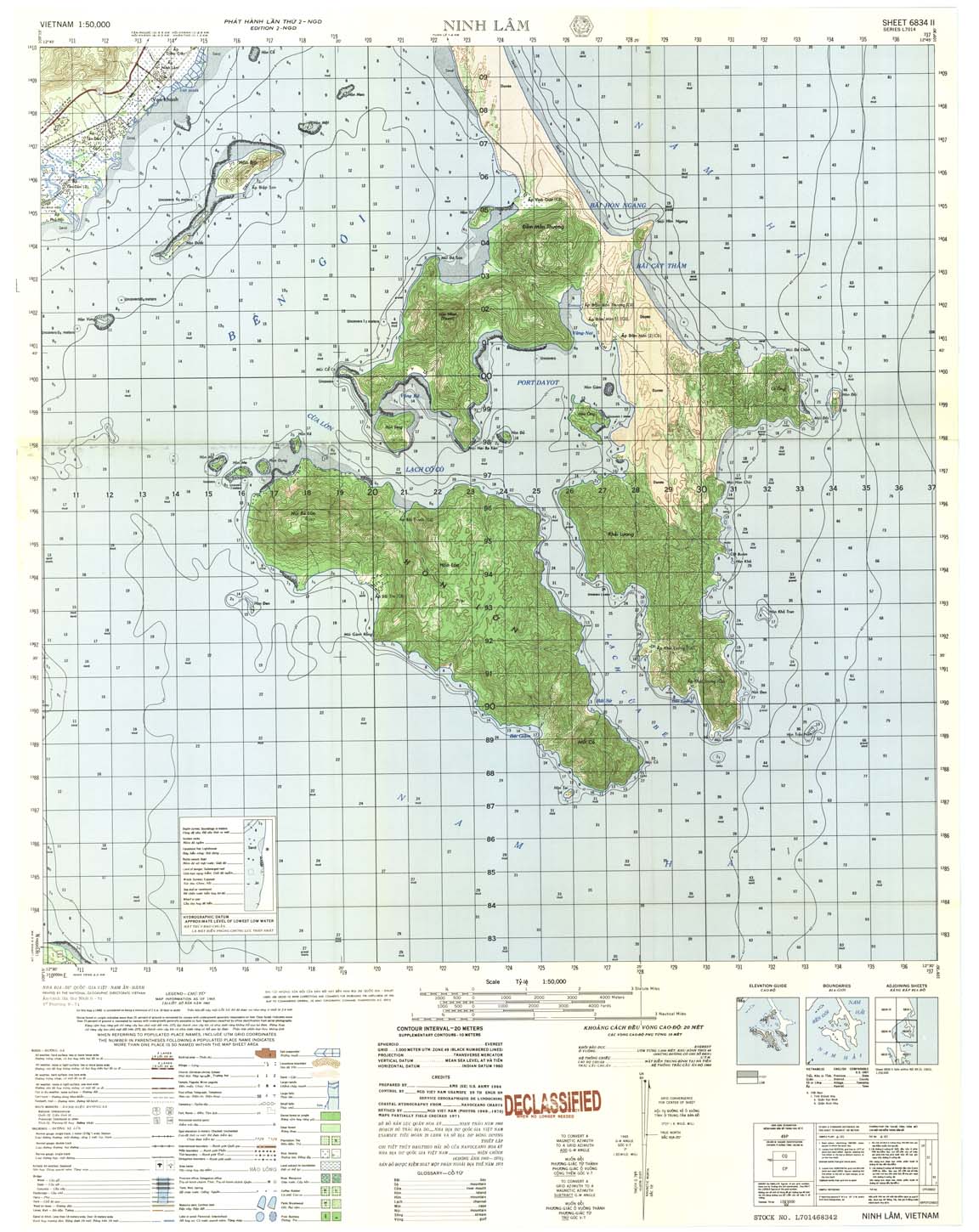
| Ninh Lam | 6834_2 | 1965 | 20 | US Army | 6834_2.jpg | 6834_2.tif | 6834_2.zip |
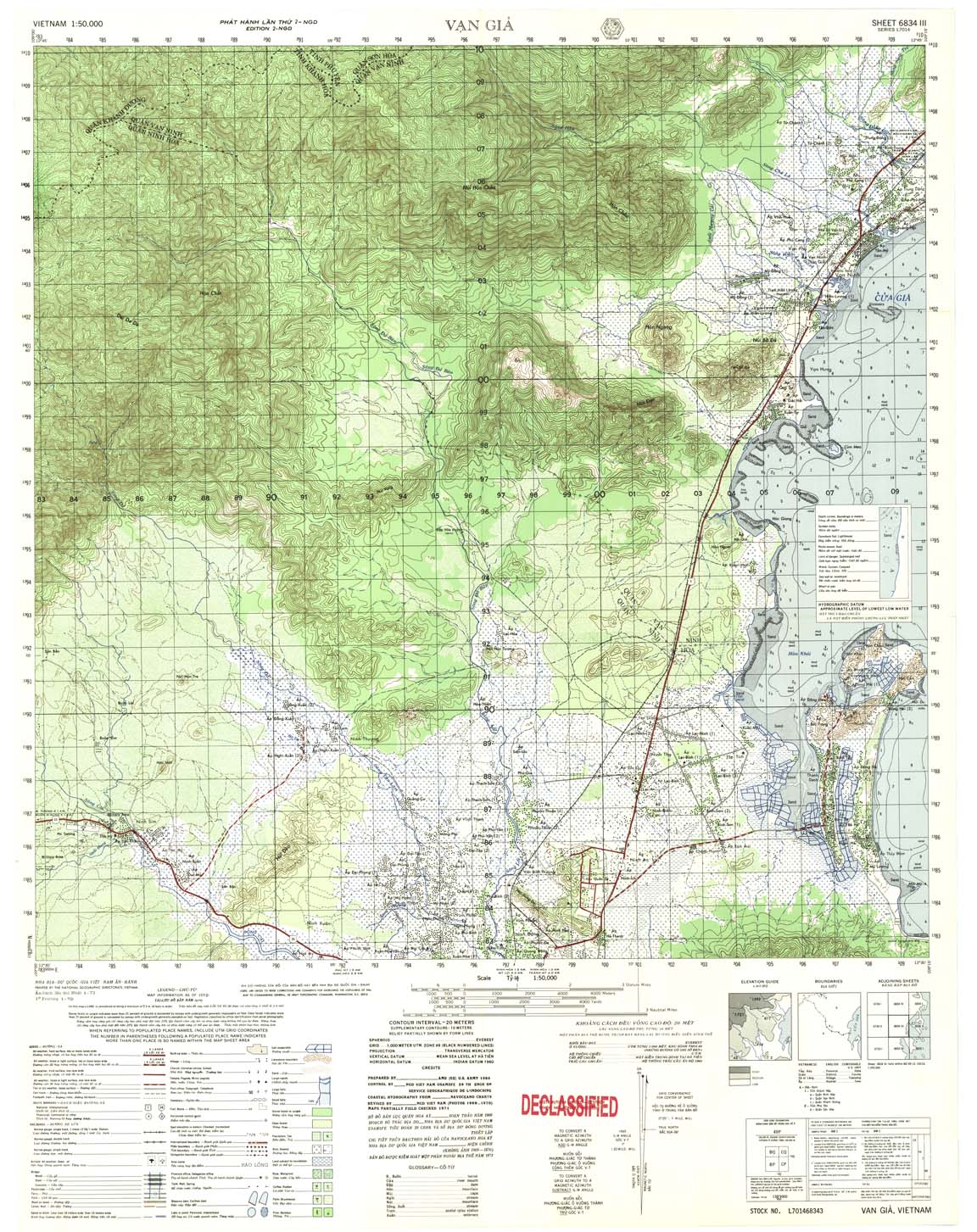
| Van Gia | 6834_3 | 1970 | 20 | US Army | 6834_3.jpg | 6834_3.tif | 6834_3.zip |
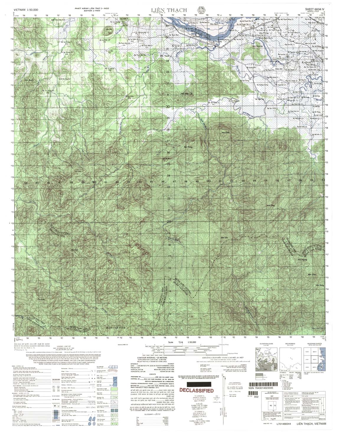
| Lien Thach | 6834_4 | 1965 | 20 | US Army | 6834_4.jpg | 6834_4.tif | 6834_4.zip |
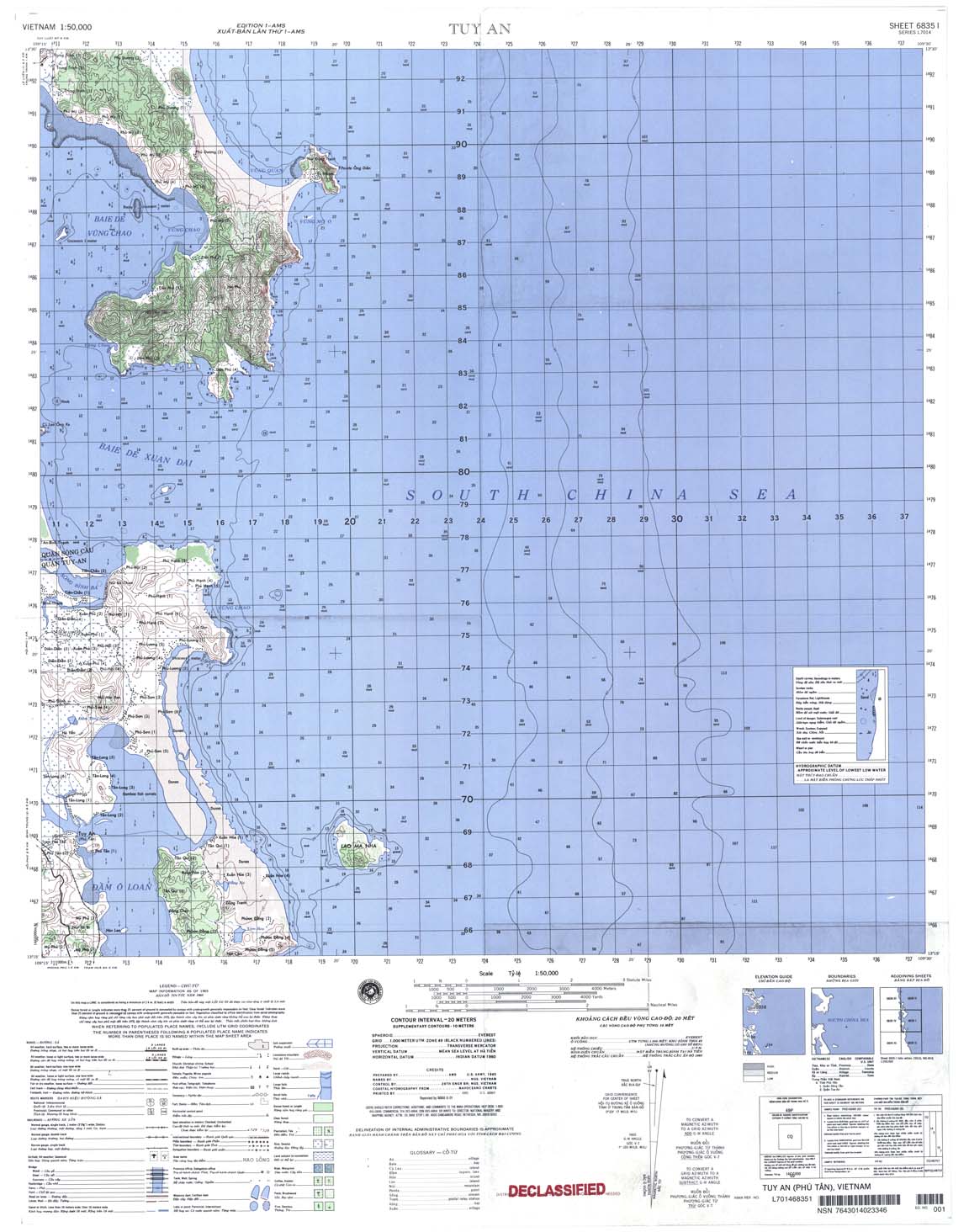
| Tuy An | 6835_1 | 2001 | 20 | NIMA | 6835_1.jpg | 6835_1.tif | 6835_1.zip |
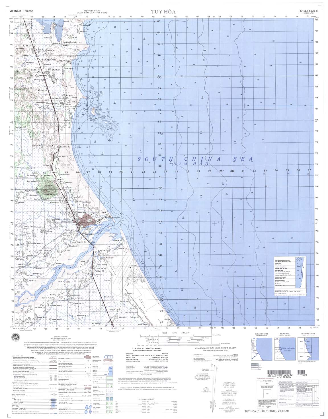
| Tuy Hoa | 6835_2 | 2001 | 20 | NIMA | 6835_2.jpg | 6835_2.tif | 6835_2.zip |
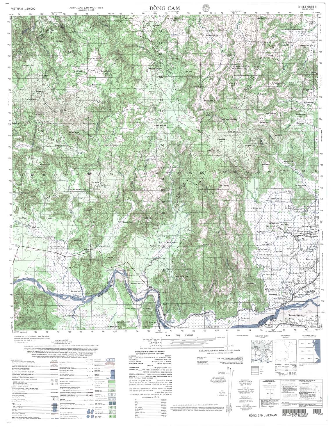
| Dong Cam | 6835_3 | 1970 | 20 | US Army | 6835_3.jpg | 6835_3.tif | 6835_3.zip |
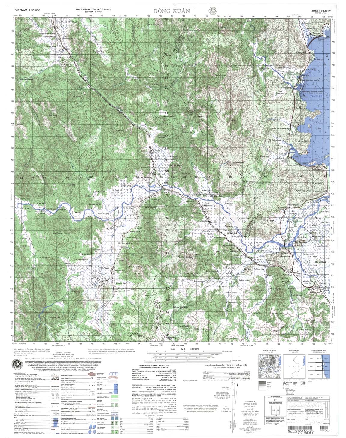
| Dong Xuan | 6835_4 | 1965 | 20 | US Army | 6835_4.jpg | 6835_4.tif | 6835_4.zip |
| Hai Dong | 6836_1 | 1965 | 20 | US Army | 6836_1.jpg | 6836_1.tif | 6836_1.zip |
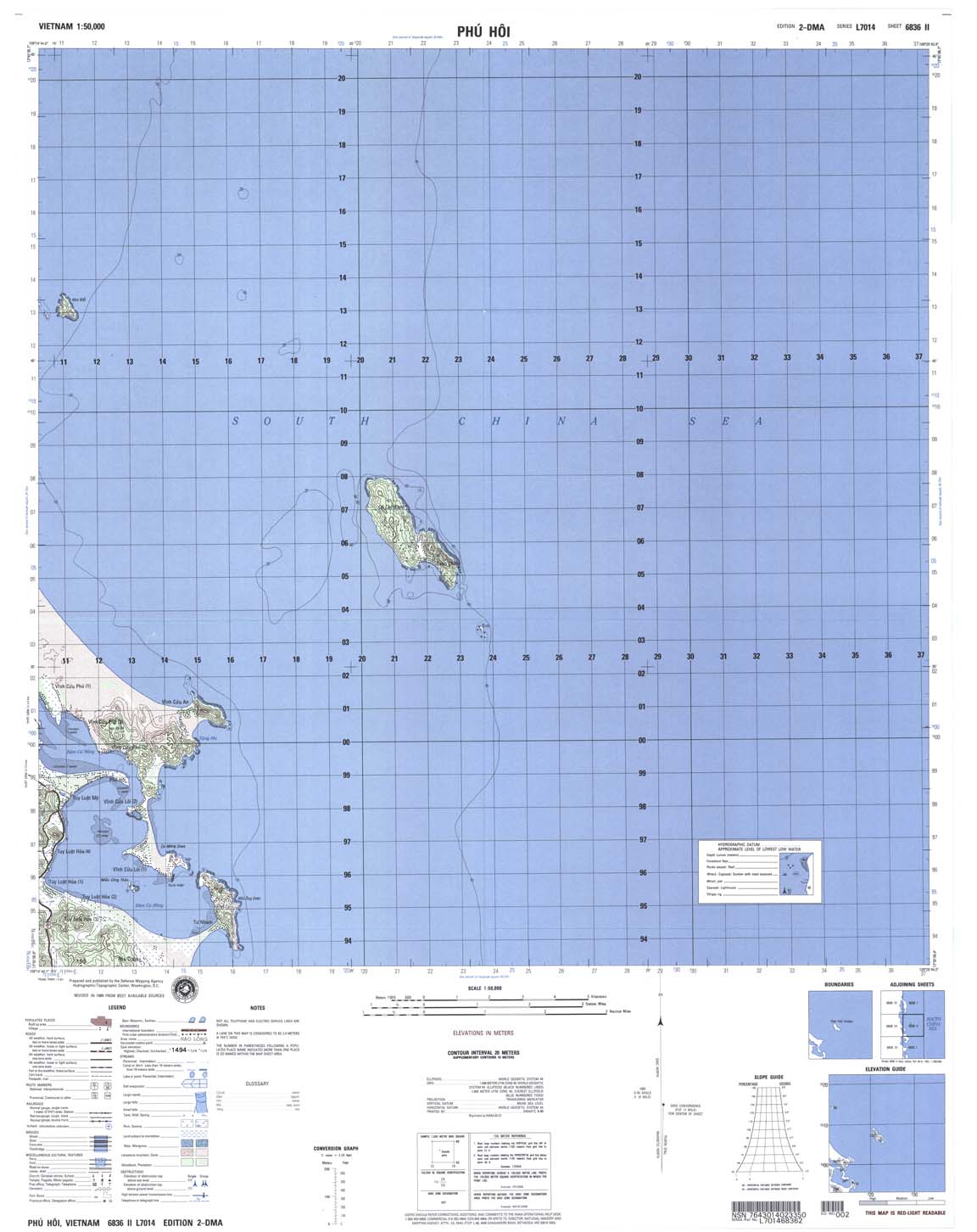
| Phu Hoi | 6836_2 | 2001 | 20 | DMA | 6836_2.jpg | 6836_2.tif | 6836_2.zip |
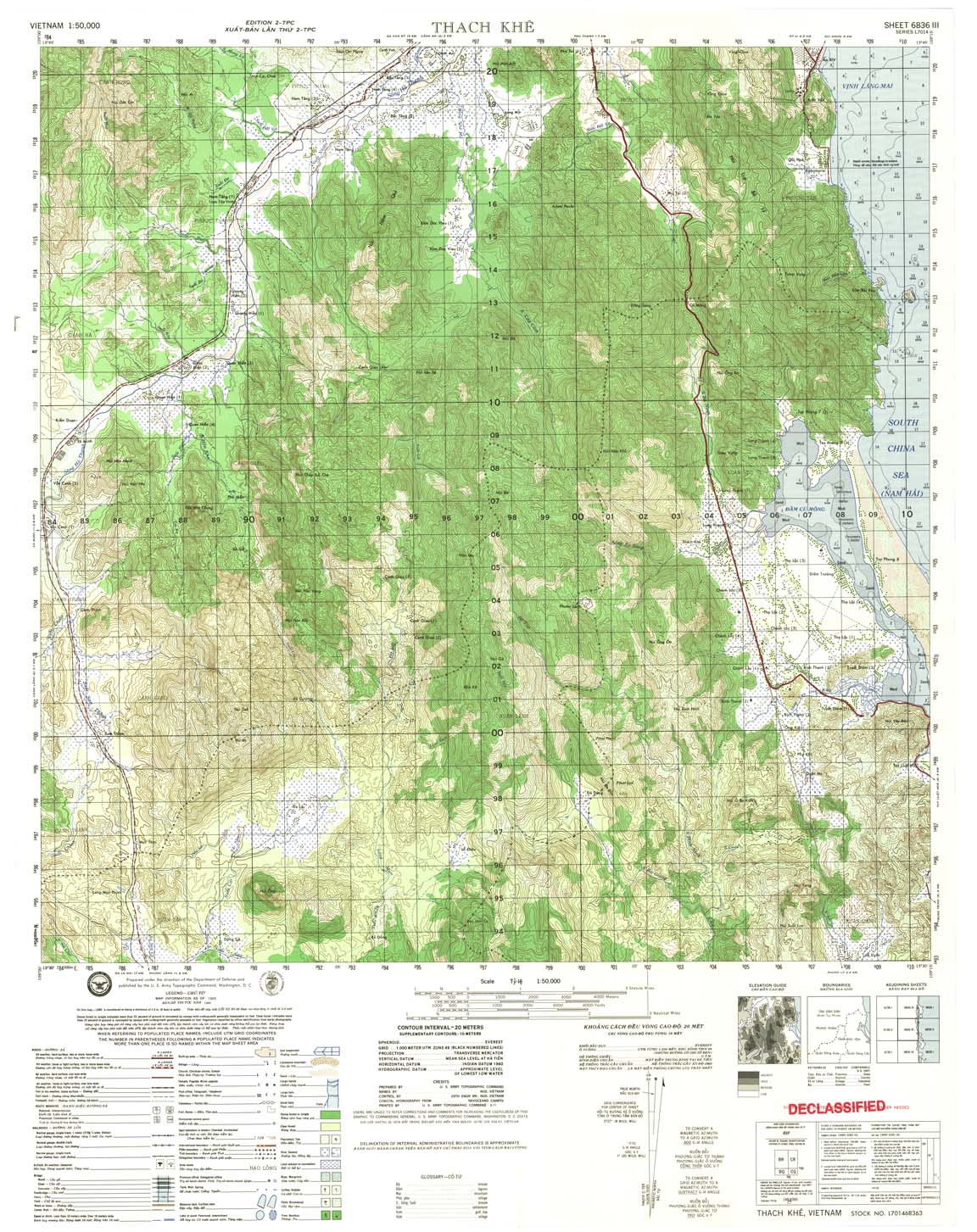
| Thach Khe | 6836_3 | 1971 | 20 | US Army | 6836_3.jpg | 6836_3.tif | 6836_3.zip |
| Qui Nhon | 6836_4 | 2000 | 20 | NIMA | 6836_4.jpg | 6836_4.tif | 6836_4.zip |
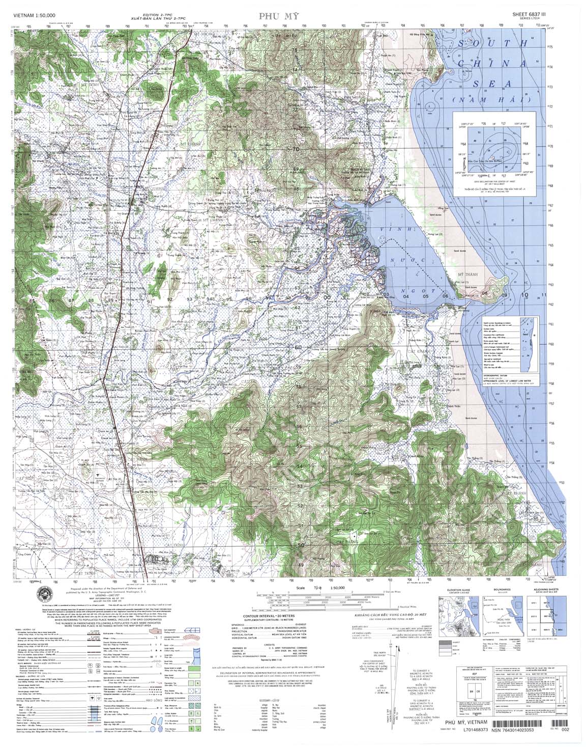
| Phu My | 6837_3 | 1999 | 20 | NIMA | 6837_3.jpg | 6837_3.tif | 6837_3.zip |
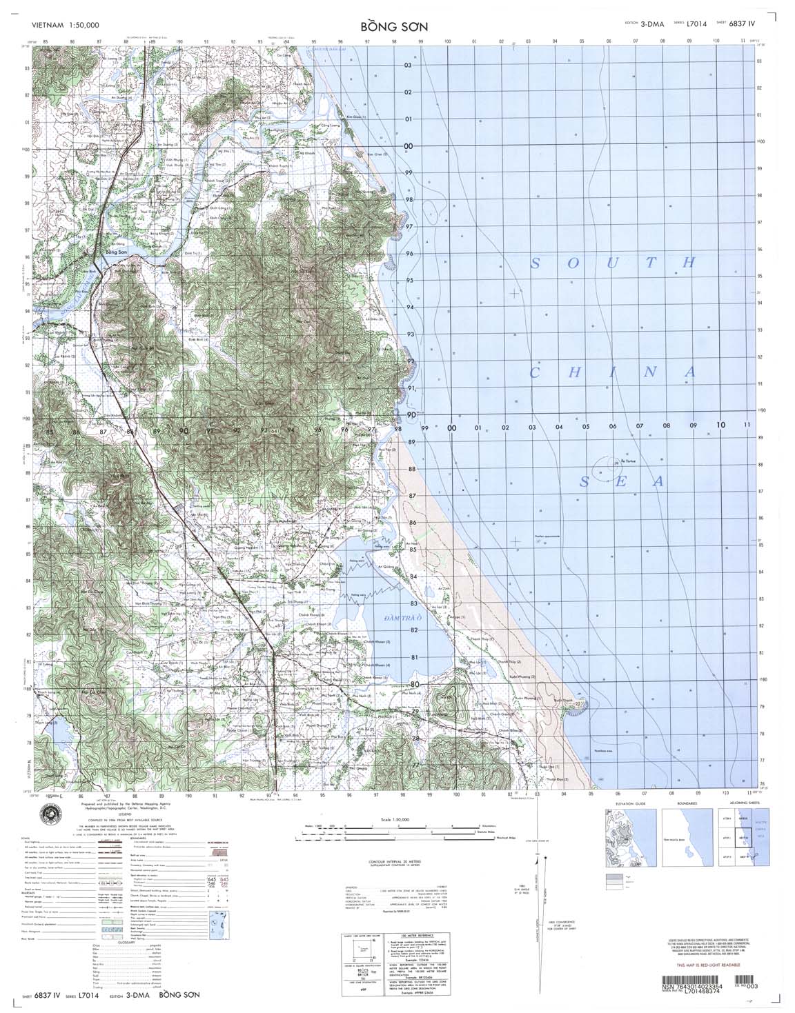
| Bong Son | 6837_4 | 2001 | 20 | NIMA | 6837_4.jpg | 6837_4.tif | 6837_4.zip |
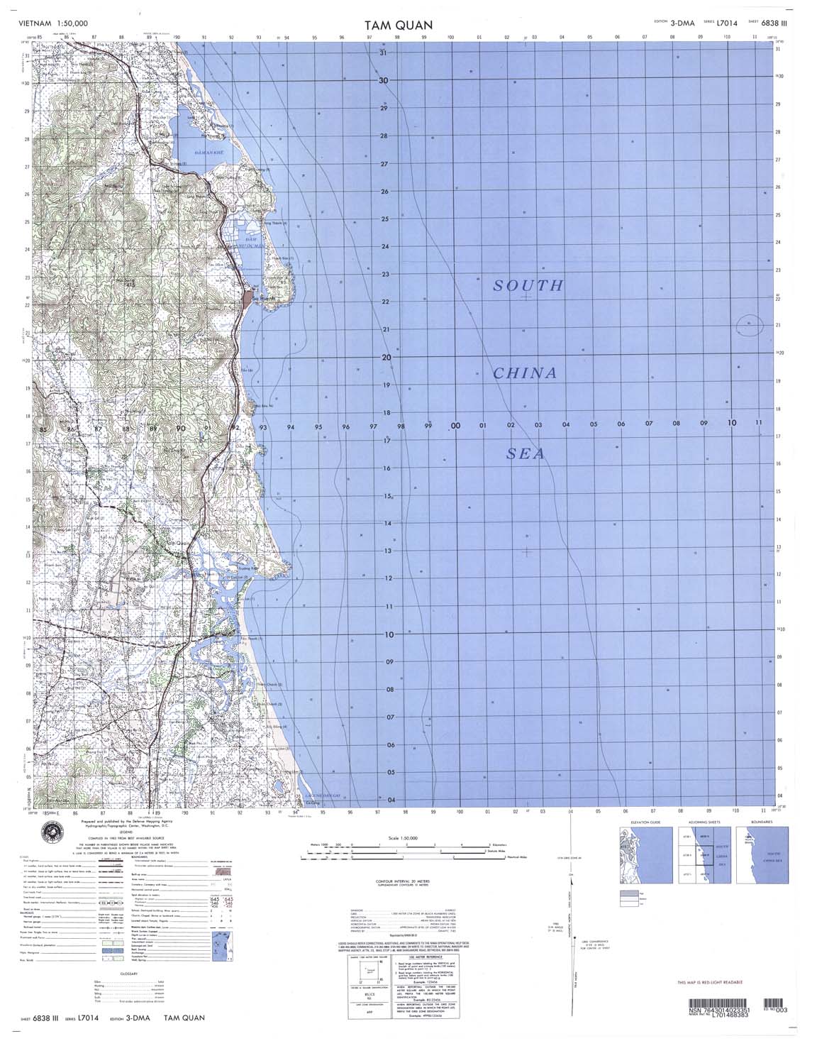
| Tam Quan | 6838_3 | 2001 | 20 | NIMA | 6838_3.jpg | 6838_3.tif | 6838_3.zip |
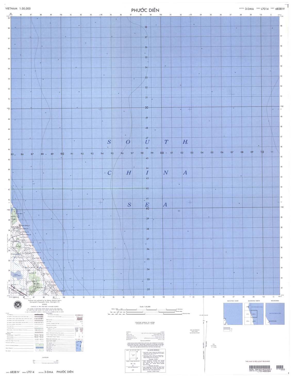
| Phuoc Dien | 6838_4 | 2001 | 20 | NIMA | 6838_4.jpg | 6838_4.tif | 6838_4.zip |