
Gambia 1:50,000
Title: The Gambia 1:50,000
Originator: Great Britain. Directorate of Overseas Surveys; Gambia. Survey Department.
Publication Place: Tolworth, Surrey, England
Publisher: Published for the Gambia Government by the British Government's Ministry of Overseas Development (Directorate of Overseas Surveys) under the Special Commonwealth African Assistance Plan.
Beginning Date: 1975
Extent: 20 sheets
Color: color
Scale: 1:50,000
Projection: Transverse Mercator
Format: Available for download in whole sheet TIF and collarless GeoTIF
Bounding Coordinate West: -16.50.00
Bounding Coordinate East: -13.45.00
Bounding Coordinate North: 13.51.00
Bounding Coordinate South: 13.00.00
Notes: Spheroid Clarke 1880. Origin: Equator, 15W longitude. Relief shown by spot heights./ Photomap./ Set is complete in 20 sheets./ "Grid: U.T.M. Zone 28."/ "Air photography by Fairey Surveys, Ltd., January 1972."/ Includes sheet index and international boundary diagram, administrative boundary location map, and legend. The paper maps were scanned at 400 ppi, 8-bit (256 color). The scans were then geo-referenced using a 1st order or 2nd order polynomial transformations in Blue Marble Geographics Transformer.
Access Restriction: This resource has been licensed for use by the MSU community. For off-campus access, users must have a MSU NetID and password. Our contract with the vendor restricts off-campus access to currently enrolled MSU students and current employees. MSU Alumni are not included in these groups. Visitors to the main library may also access this resource at one of our Selected Resources computers. If your NetID and password are not working to get you into this site, please see this Guide to Off-Campus Access.
Contact Information:
Kathleen Weessies
Map Library
MSU Libraries, Room W308
366 W. Circle Drive
East Lansing, MI 48824 USA
(517) 884-0849
E-mail:weessie2@lib.msu.edu
URL: https://lib.msu.edu/map/
Gambia
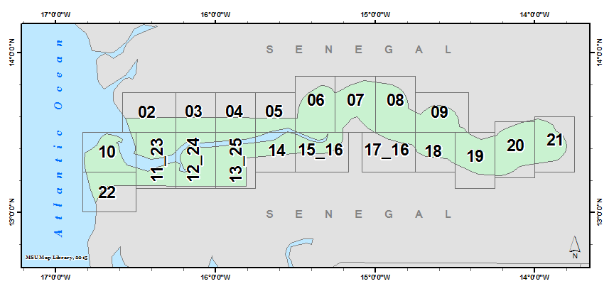
Gambia 1:50,000: Sheet List
| Sheet Name | Other Name | Year Print | Edition | Jpeg Preview | TIFF | GeoTIFF |
|---|---|---|---|---|---|---|
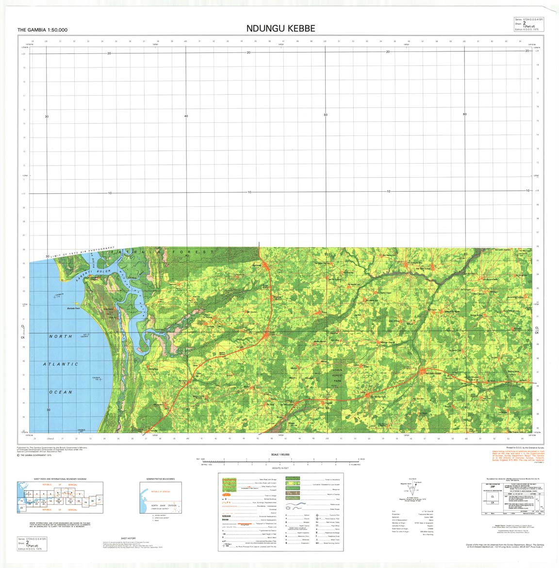
| 2 | Ndungu Kebbe | 1975 | 4th | JPG | TIF | ZIP |
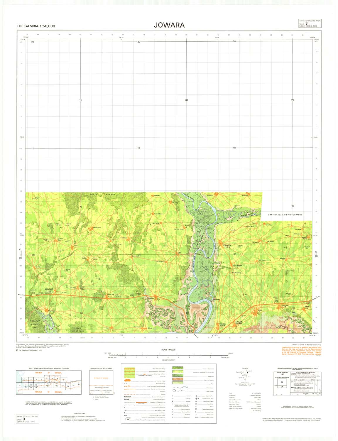
| 3 | Jowara | 1975 | 4th | JPG | TIF | ZIP |
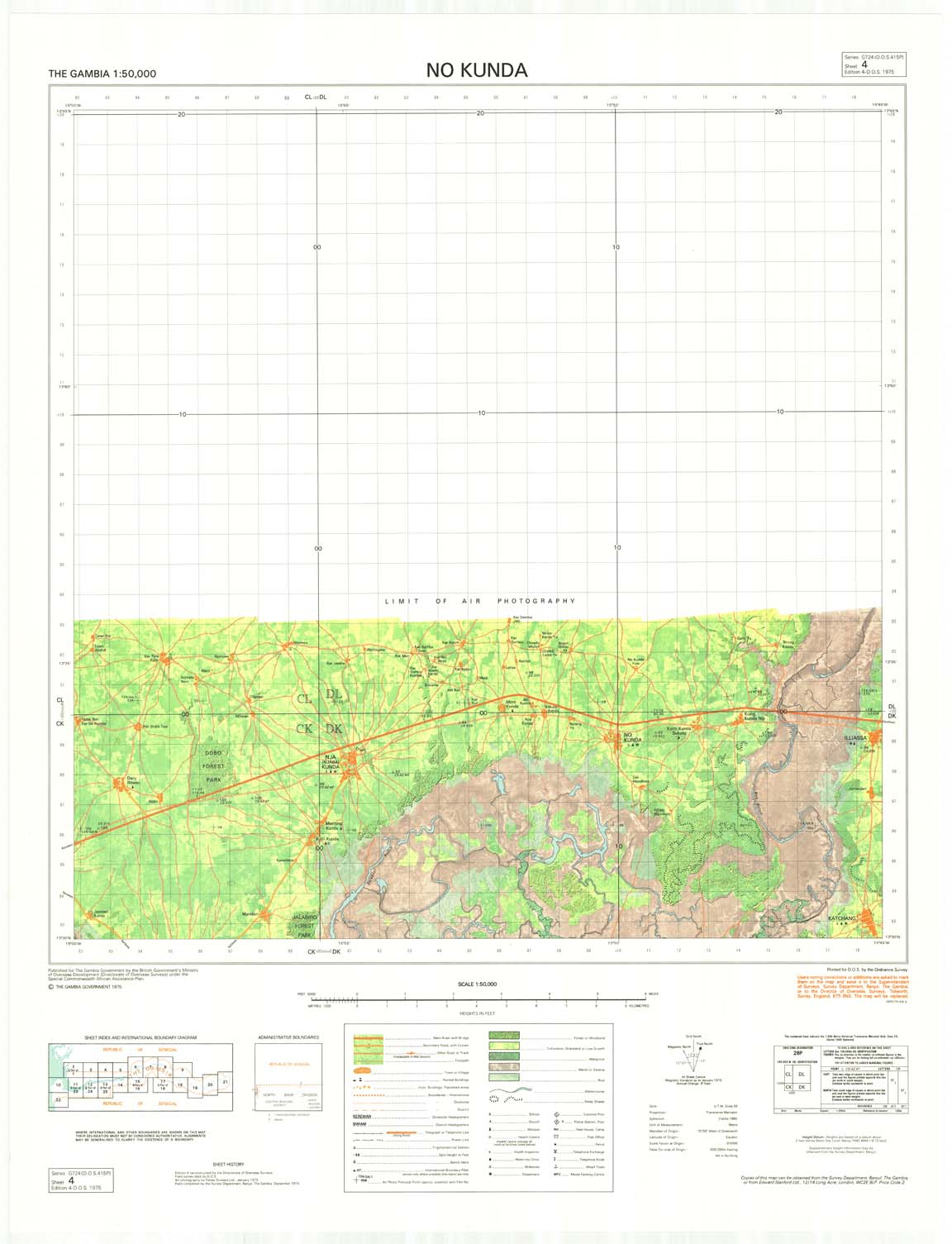
| 4 | No Kunda | 1975 | 4th | JPG | TIF | ZIP |
| 5 | Farafenni | 1975 | 4th | JPG | TIF | ZIP |
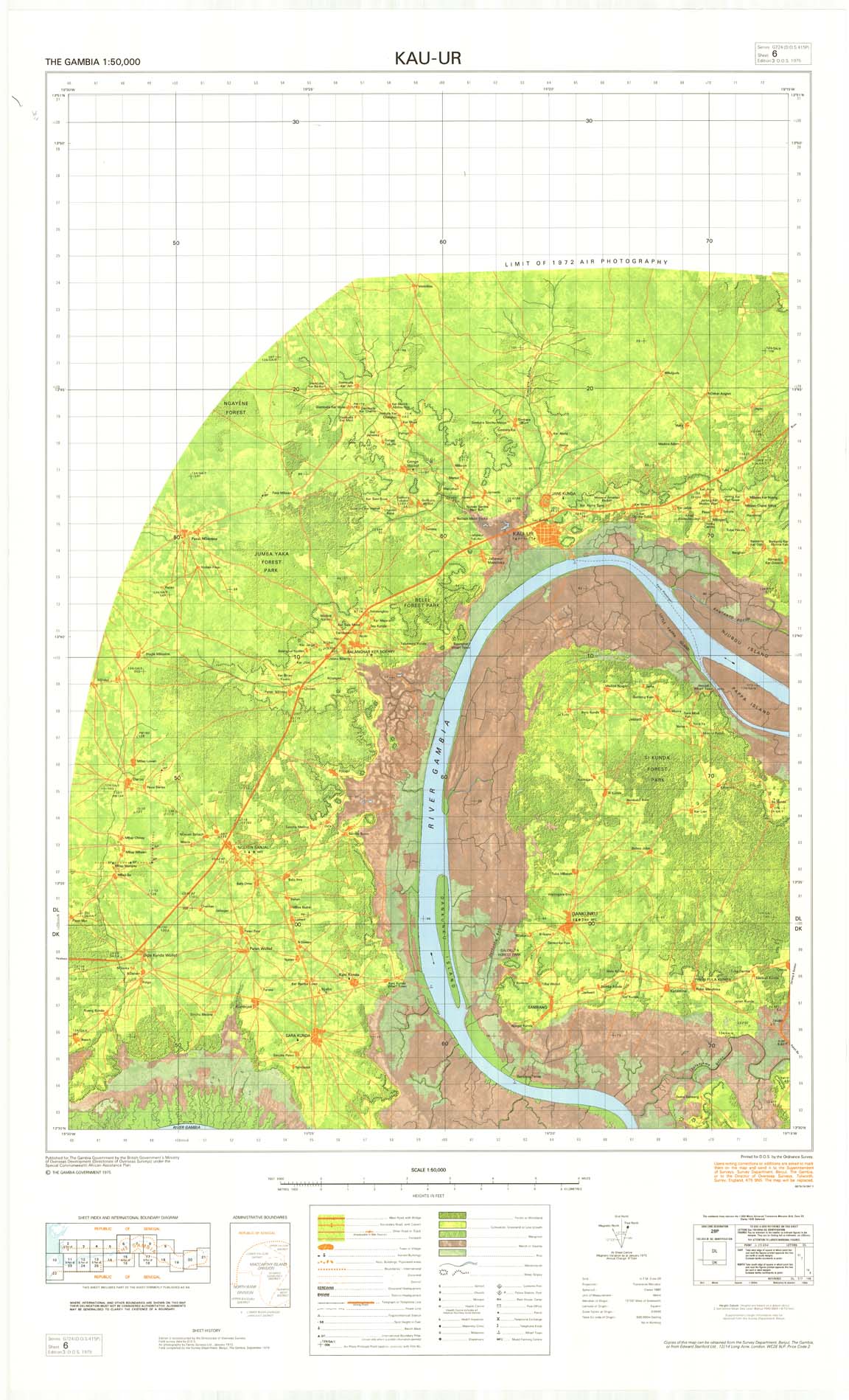
| 6 | Kau-Ur | 1975 | 3rd | JPG | TIF | ZIP |
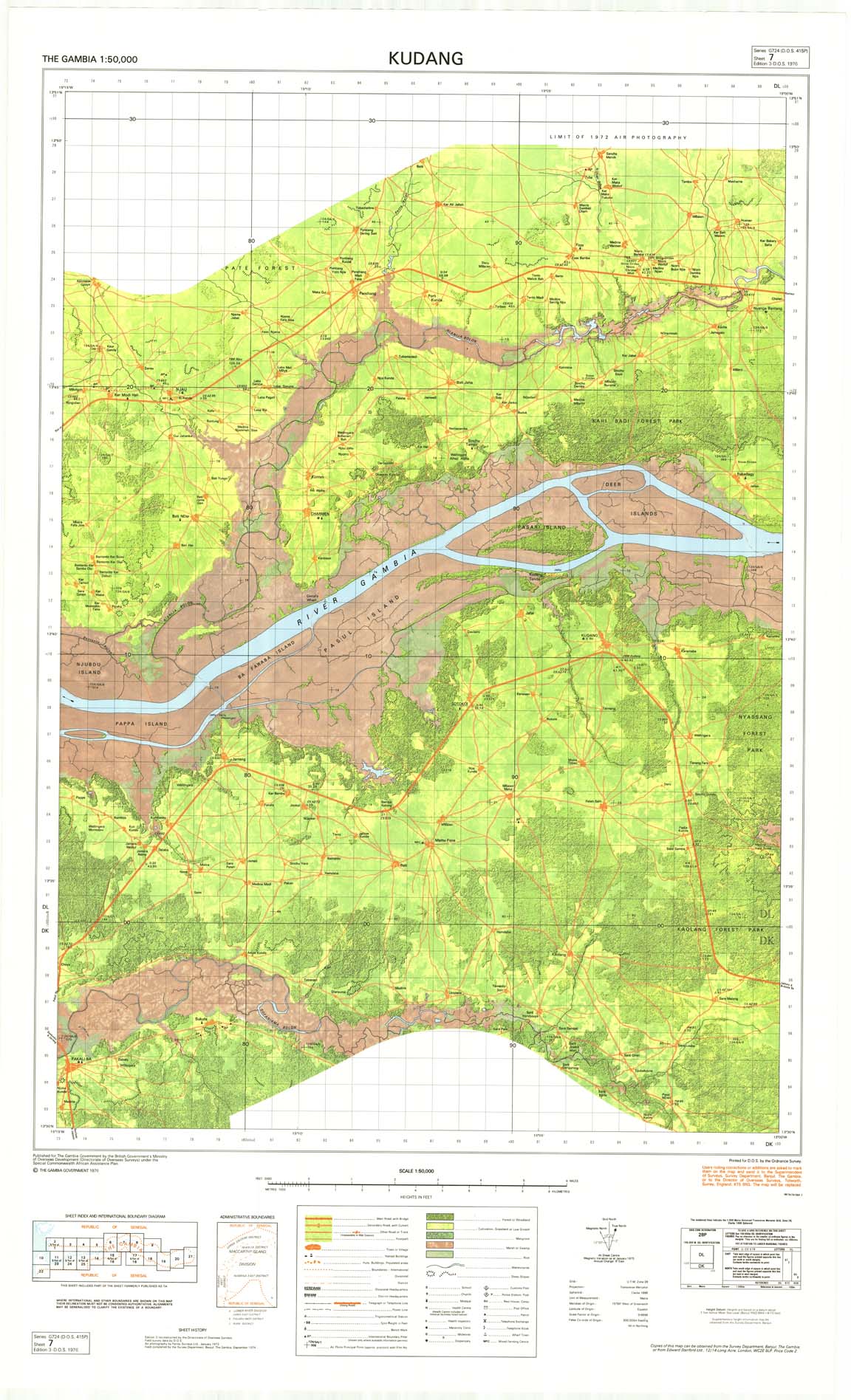
| 7 | Kudang | 1976 | 3rd | JPG | TIF | ZIP |
| 8 | Kuntaur | 1976 | 3rd | JPG | TIF | ZIP |
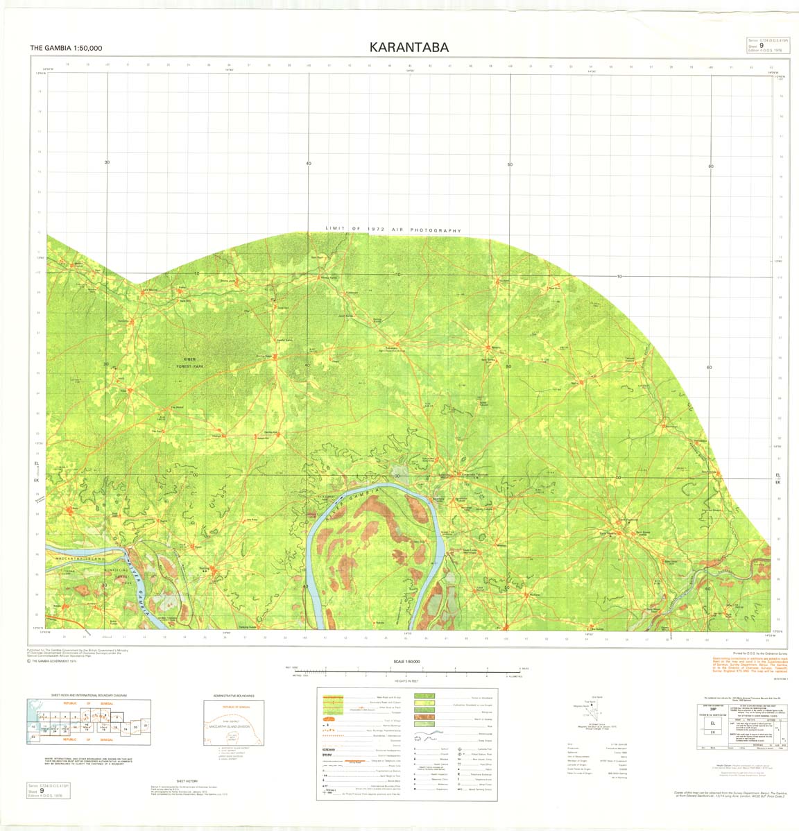
| 9 | Karantaba | 1976 | 4th | JPG | TIF | ZIP |
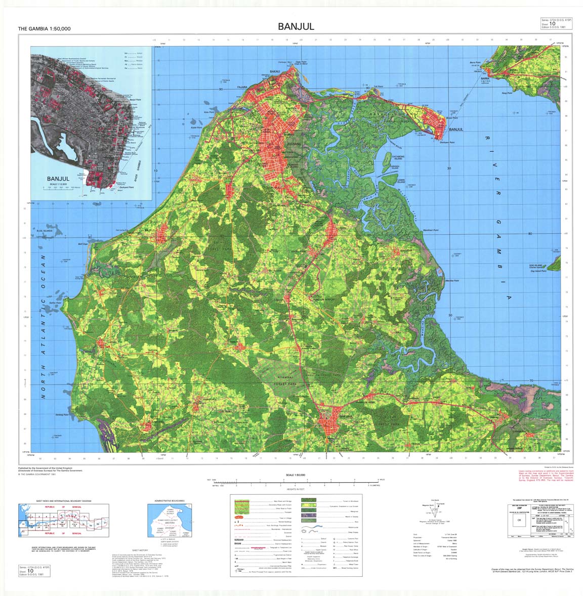
| 10 | Banjul | 1981 | 5th | JPG | TIF | ZIP |
| 11_23 | Albadarr | 1976 | 4th | JPG | TIF | ZIP |
| 12_24 | Kerewan | 1975 | 4th | JPG | TIF | ZIP |
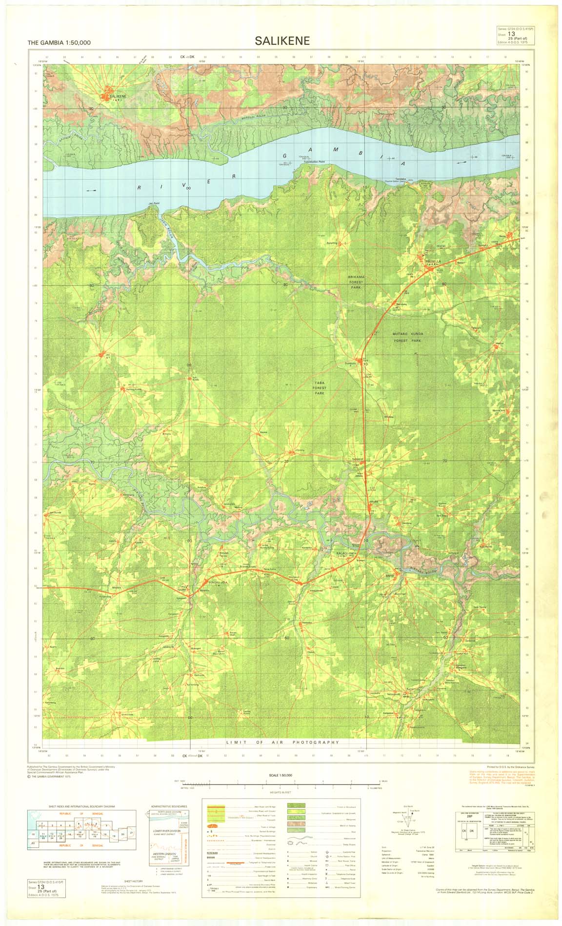
| 13_25 | Salikene | 1975 | 4th | JPG | TIF | ZIP |
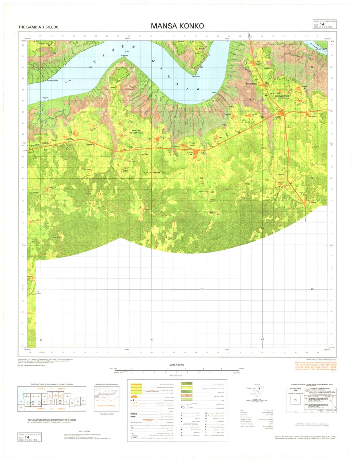
| 14 | Mansa Konko | 1975 | 4th | JPG | TIF | ZIP |
| 15_16 | Jappeni | 1975 | 3rd | JPG | TIF | ZIP |
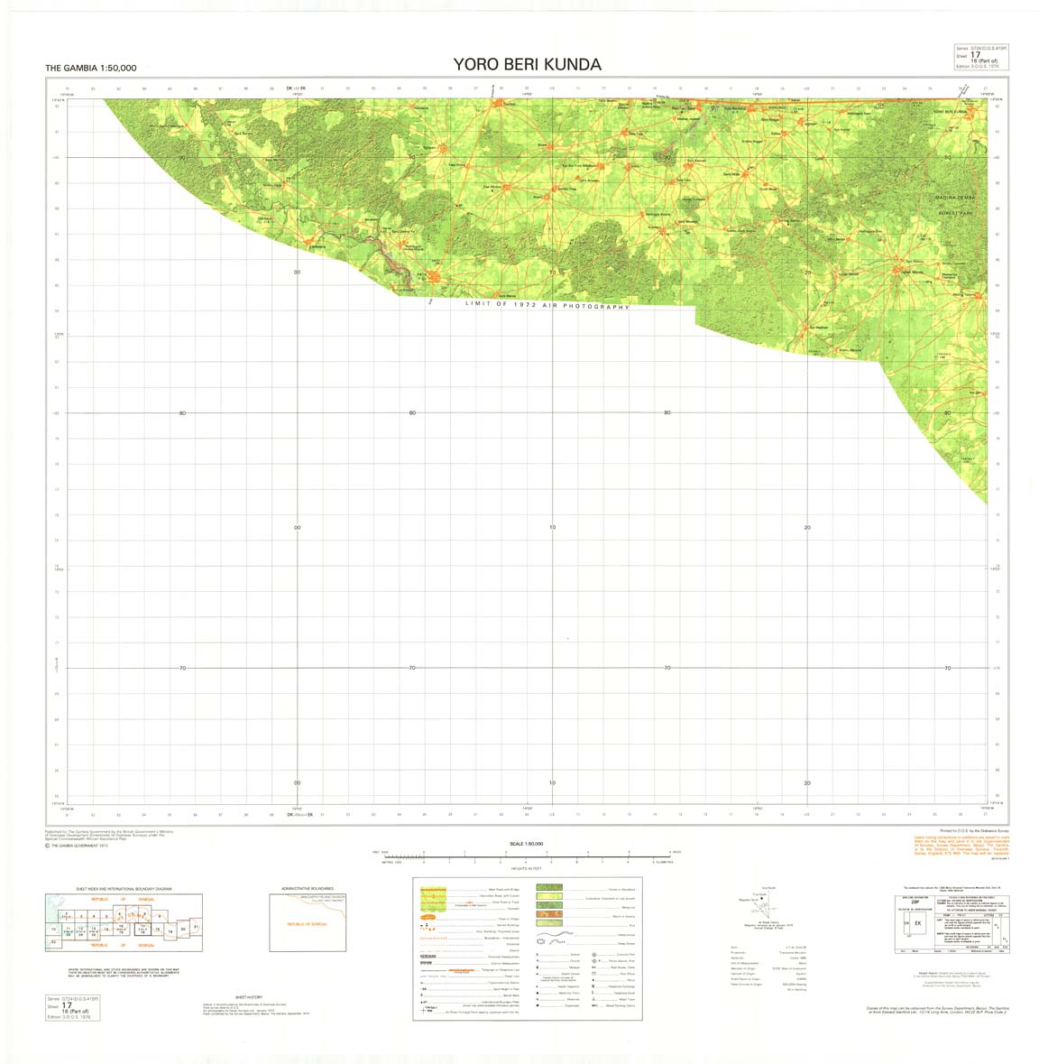
| 17_16 | Yoro Beri Kunda | 1976 | 3rd | JPG | TIF | ZIP |
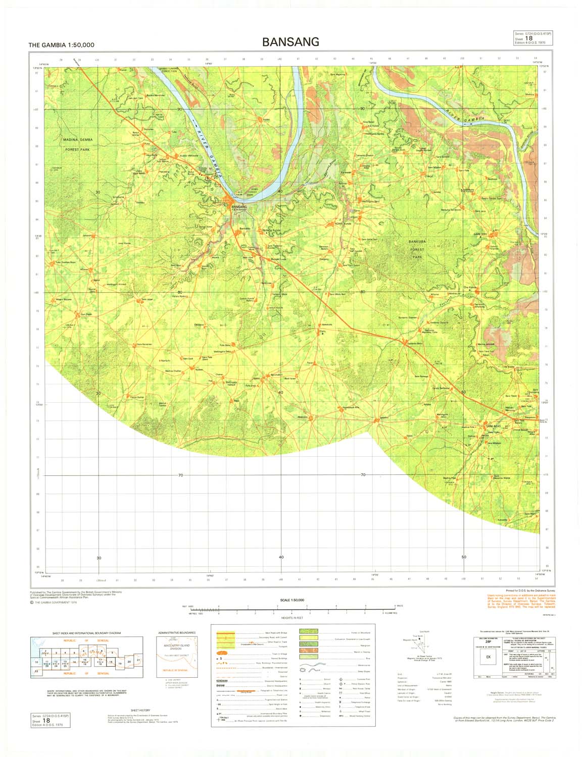
| 18 | Bansang | 1976 | 4th | JPG | TIF | ZIP |
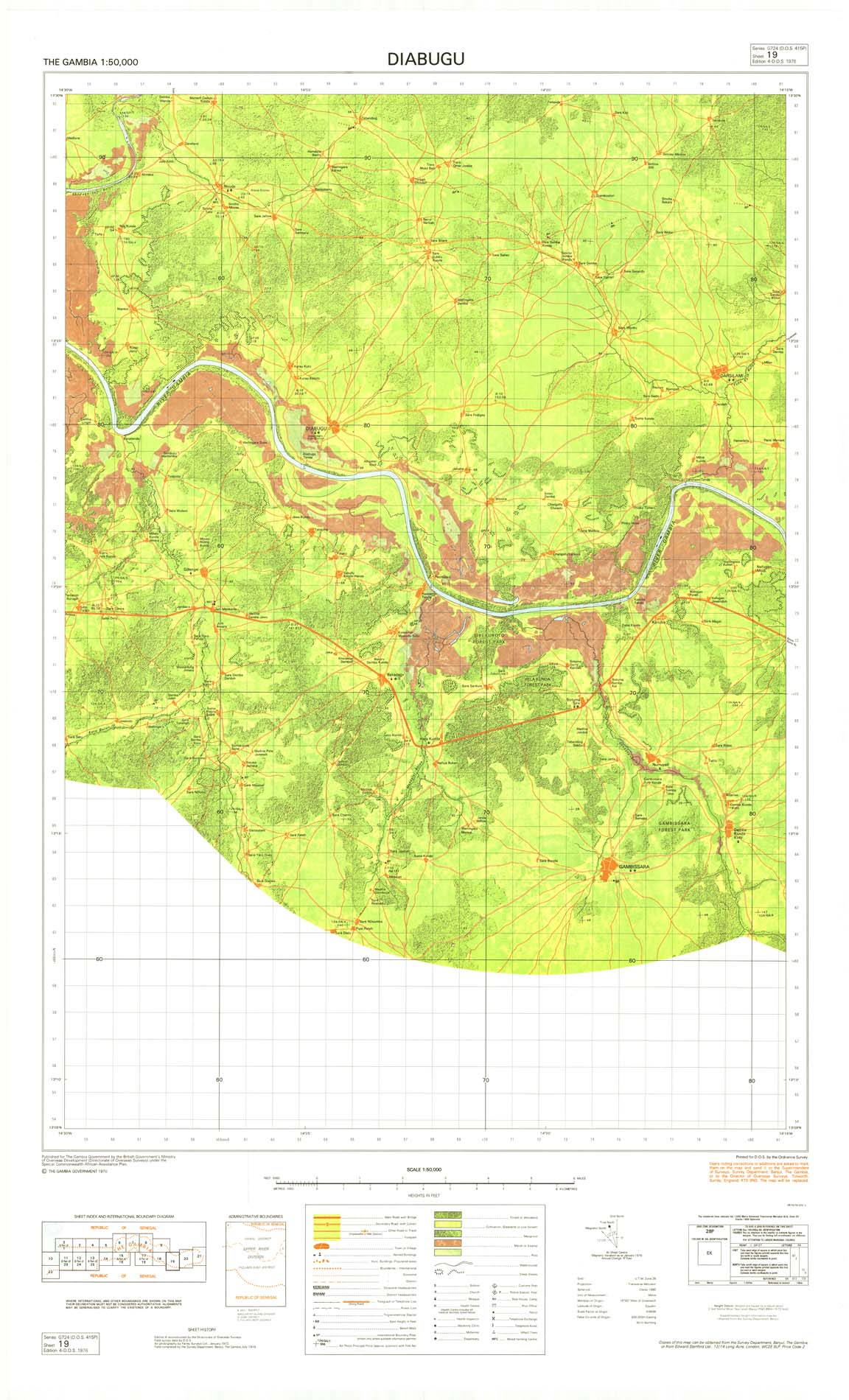
| 19 | Diabugu | 1976 | 4th | JPG | TIF | ZIP |
| 20 | Basse Santa Su | 1976 | 3rd | JPG | TIF | ZIP |
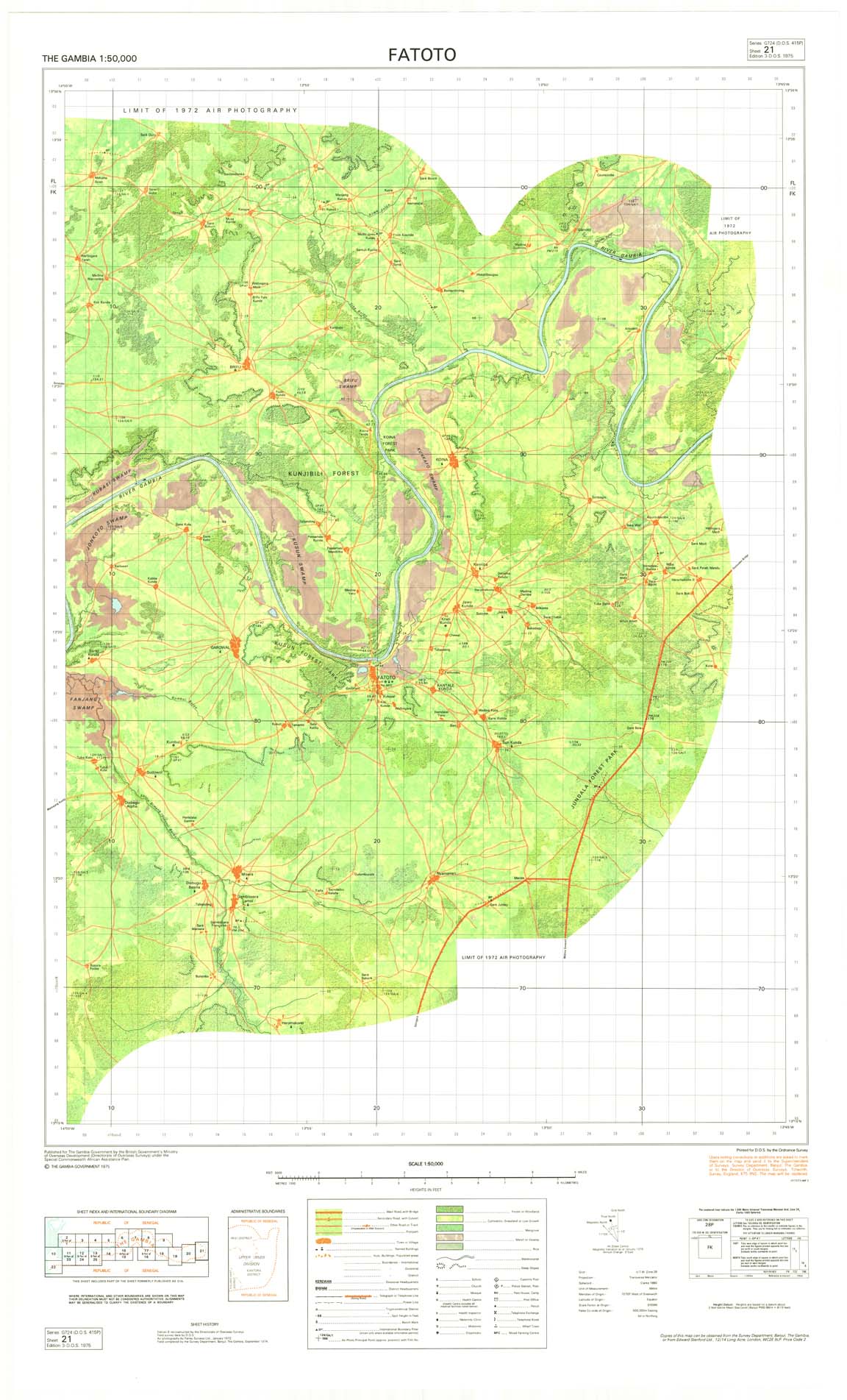
| 21 | Fatoto | 1975 | 3rd | JPG | TIF | ZIP |
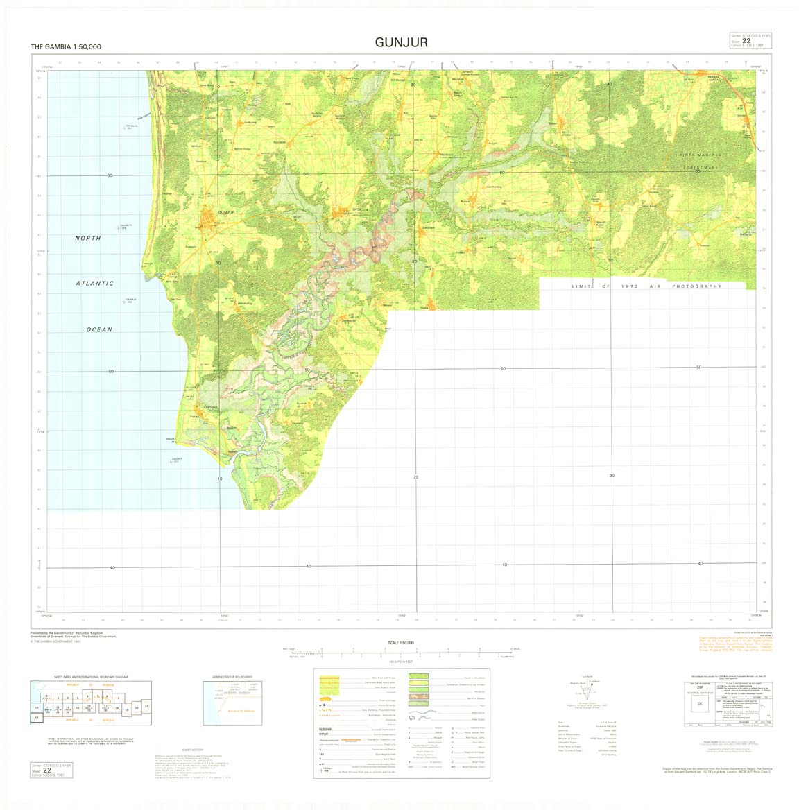
| 22 | Gunjur | 1981 | 5th | JPG | TIF | ZIP |