
close
Provide feedback on this item
Please provide details, labels, or ideas that will help this image be more findable and better described.

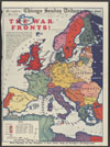
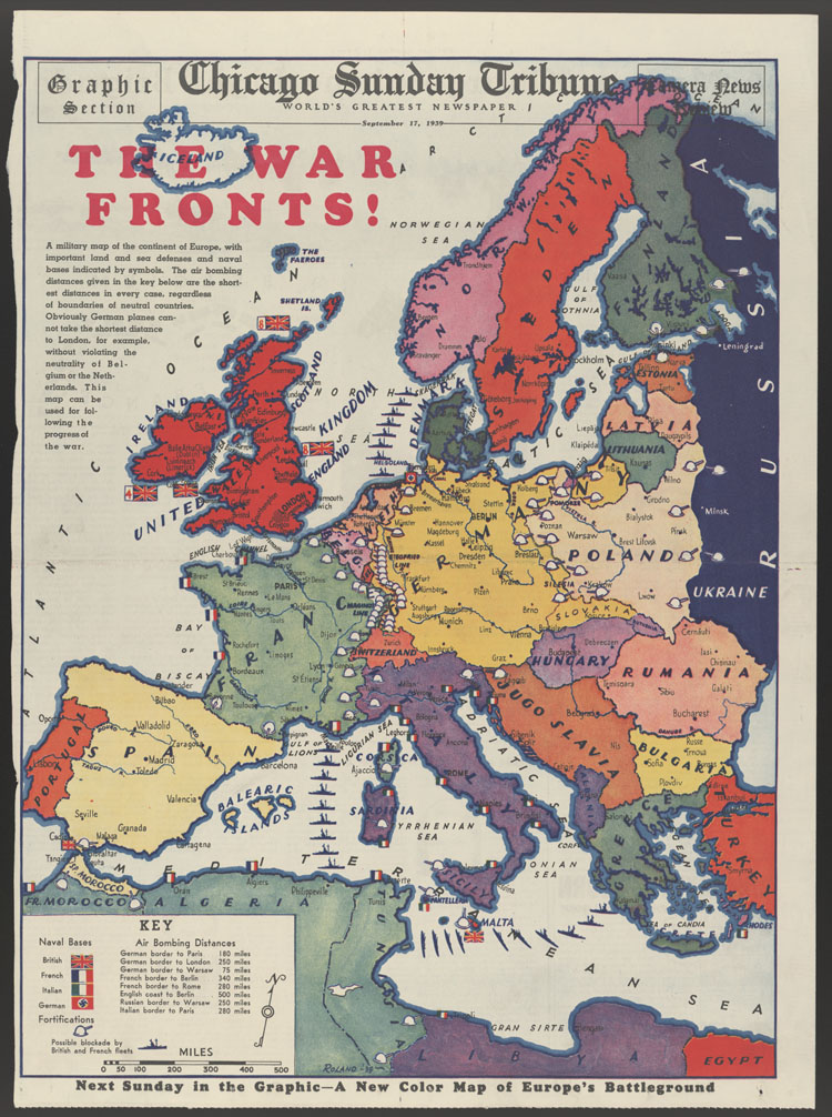
War fronts
This map of Europe shows political boundaries, naval bases (including possible blockade locations), and fortifications of fronts during World War II. Signed by Roland.
1939-09-17
49.5 x 36.8 cm
Tribune Company
color
- English
- Military facilities--Allied Forces--Europe--1930-1940
- Military facilities--Axis--Europe--1930-1940
- World War, 1939-1945--Allied Forces--Military facilities--Europe
- World War, 1939-1945--Military facilities--Axis--Europe
- still image
- text
- These materials are either in the public domain, according to U.S. copyright law, or permission has been obtained from rights owners. The digital version and supplementary materials are available for all educational uses worldwide.
- The Janet A. Ginsburg Chicago Tribune Image Collection
- Chicago Sunday Tribune (September 17, 1939), Graphic Section/Camera News Review, p. 1
- application/pdf
- image/jpeg

- Home
- About
- Full Text Search
- Browse
- Contact Info